The spice race: before 1700
Maps and prints of the East Indies printed before 1700. Every one a period original.
74 sheets
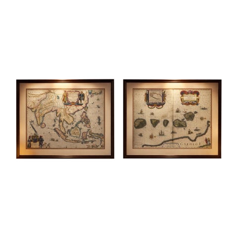
Maps and Sea Charts · Moluccas
Antique Blaeu Maps, Indonesia & Moluccas, VOC Era, c.1642
1642 · 59 × 50 cm€9,800
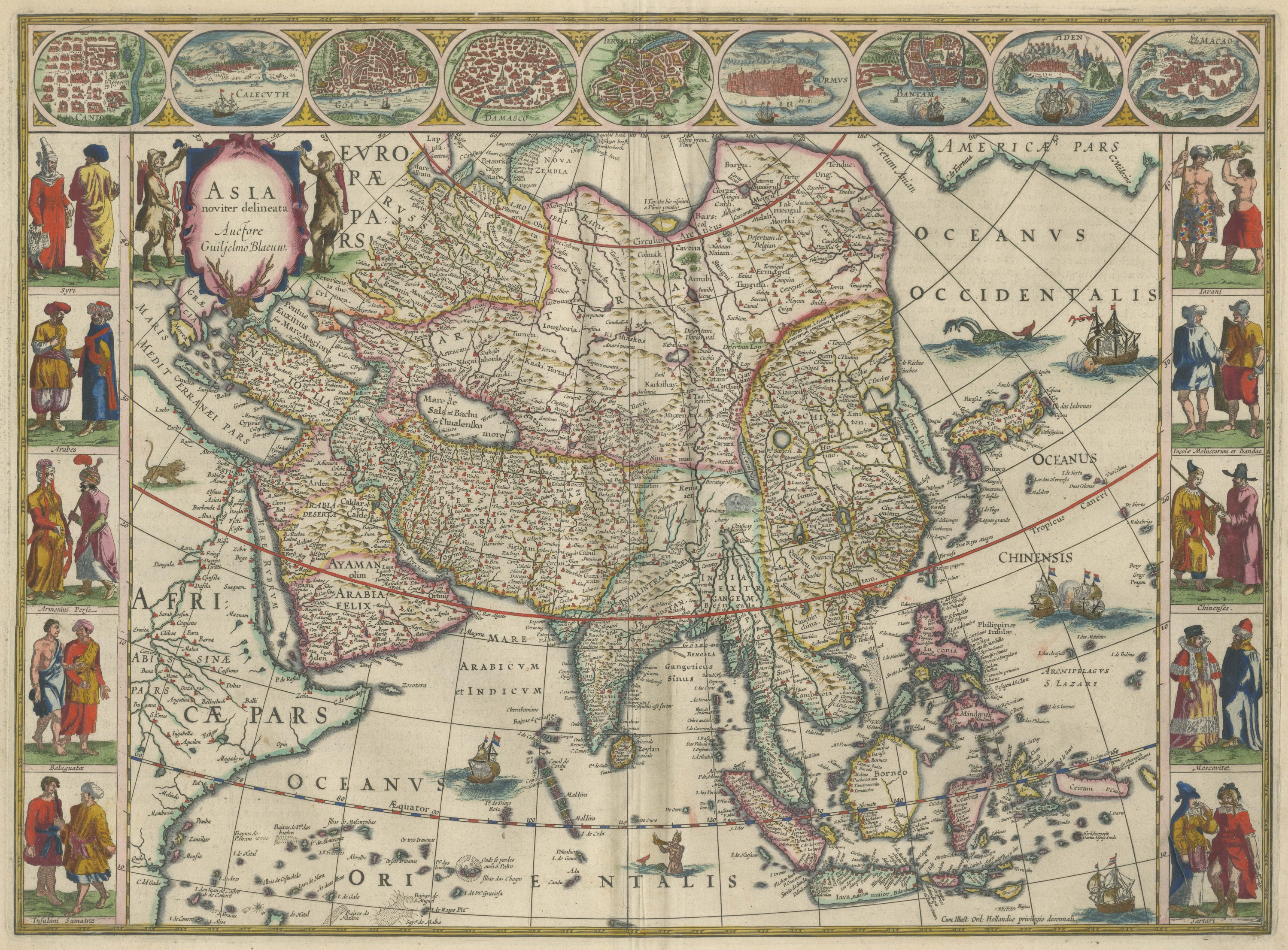
Maps and Sea Charts
Antique Blaeu Map of Asia, Arabia Felix and the East Indies, 1642
1642€7,500
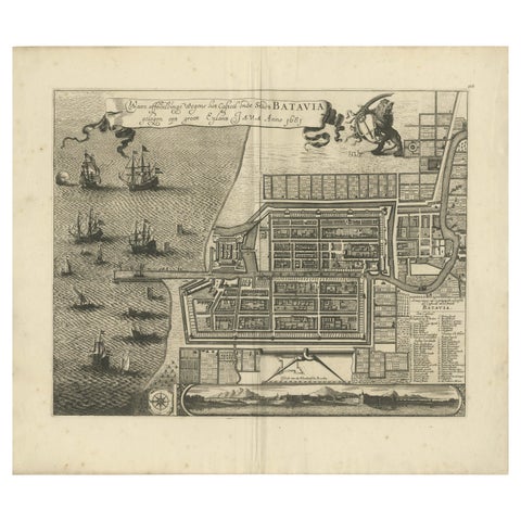
Maps and Sea Charts · Java
Rare 1681 Map of Batavia: Detailed Dutch Colonial Era Cartography, 1681
1681 · 62 × 53.5 cm€5,900
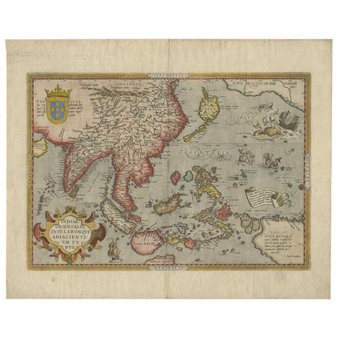
Maps and Sea Charts
Antique Ortelius Map of Asia Featuring Japan, China, Taiwan & East Indies, 1587
1587 · 49 × 35 cm€4,950
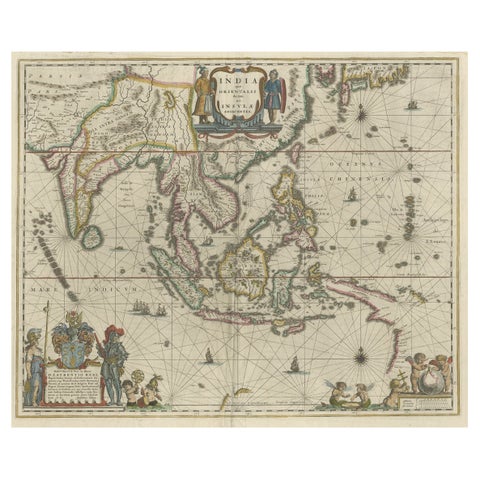
Maps and Sea Charts · New Guinea
Original Blaeu Map of Southeast Asia from India to Tibet and Japan to New Guinea
1635 · 60 × 49.5 cm€3,500
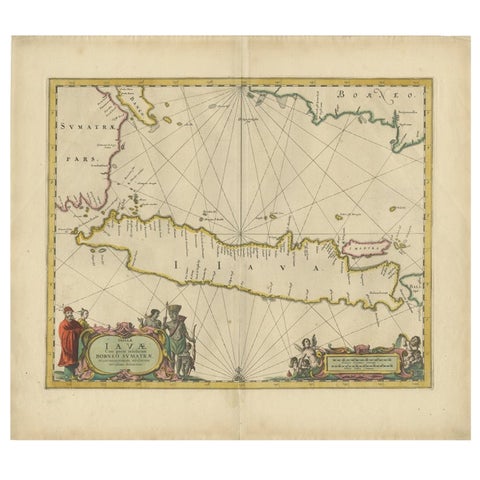
Maps and Sea Charts · Java
Antique Map of the Island Java, Indonesia, c.1650
1650 · 54 × 61.5 cm€3,250
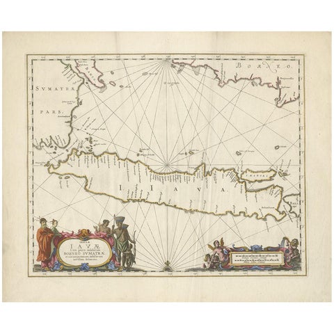
Maps and Sea Charts · Java
Antique Map of Java by Janssonius, circa 1650
1650 · 62 × 51.5 cm€2,950
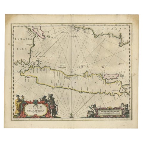
Maps and Sea Charts · Java
Antique Map of Java and Part of Borneo, Indonesia, c.1657
1657 · 49.5 × 58 cm€2,750
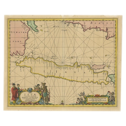
Maps and Sea Charts · Java
Antique Map of Java in The Dutch East Indies, Now Indonesia, c.1690
1690 · 46 × 55 cm€2,750
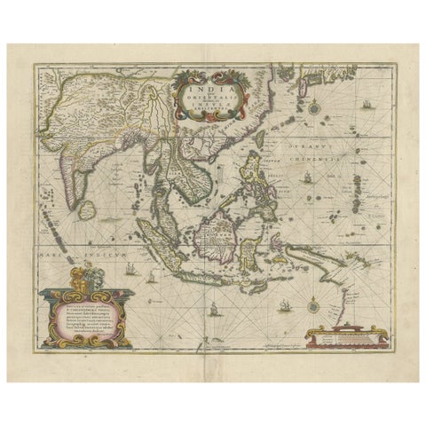
Maps and Sea Charts
Old Antique Map of the East Indies and Southeast Asia, ca.1644
1644 · 60 × 50 cm€2,650
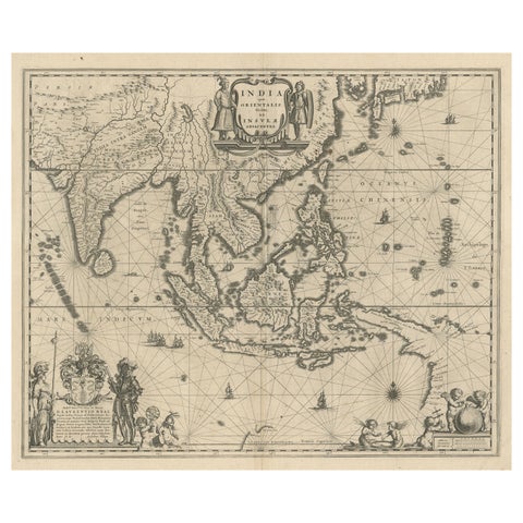
Maps and Sea Charts · New Guinea
Map of Southeast Asia, Extending from India to Tibet & Japan to New Guinea, 1640
1640 · 60 × 50.5 cm€2,650
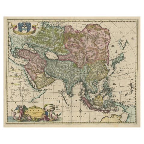
Maps and Sea Charts
Antique Map of Asia and the East Indies and Korea as a Peninsula, ca.1660
1660 · 61 × 50 cm€2,500
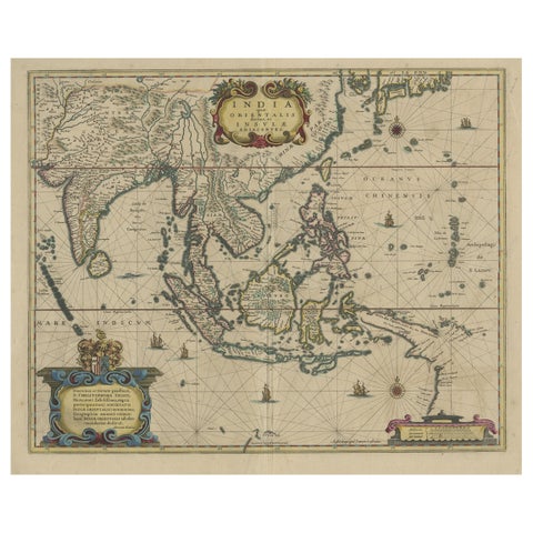
Maps and Sea Charts
Original Antique Hand-Colored Map of The East Indies and Southeast Asia, c.1644
1644 · 59 × 50 cm€2,500
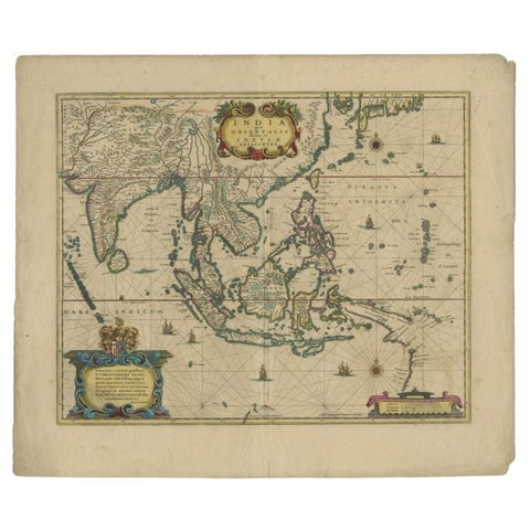
Maps and Sea Charts
Original Antique Map of the East Indies (Indonesia) by Janssonius, c.1644
1644 · 59.5 × 47 cm€2,500
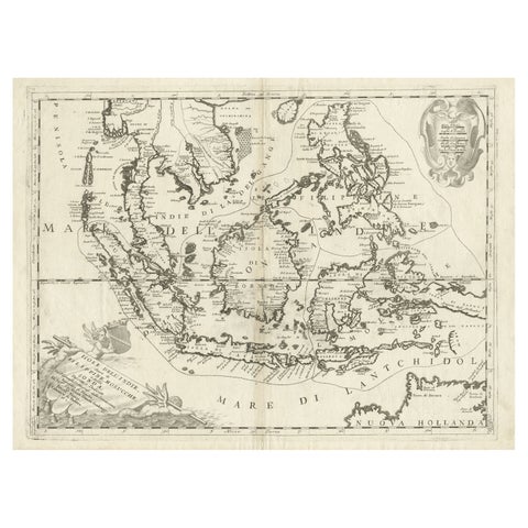
Maps and Sea Charts
Original Antique Map of the Philippines, Malaysia, Indonesia, Singapore, c.1690
1690 · 70 × 49.5 cm€2,250
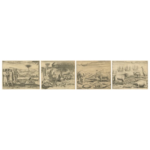
Towns and Landscapes
De Bry’s India and East Indies, Cockfights, Sacred Trees & Exotic Animals, 1598
1598 · 20 × 30.5 cm€1,990
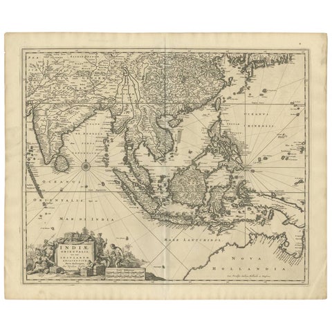
Maps and Sea Charts
Antique Map of Southeast Asia 'India, Indonesia' by N. Visscher, circa 1670
1670 · 63.6 × 52.7 cm€1,950
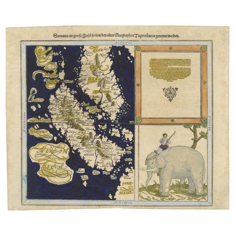
Maps and Sea Charts · Sumatra
Renaissance Mapping of Sumatra: Featuring Singapore in Münster’s Woodcut, c.1590
1590 · 41.5 × 34 cm€1,450
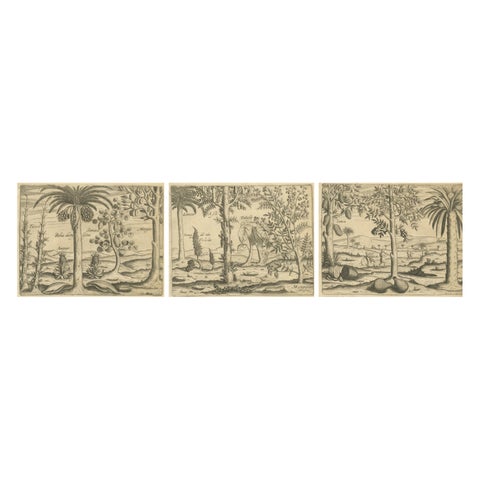
Flora and Fauna
De Bry Botanical Engravings, Pineapple, Mango & Pepper Plants, c.1598
1598 · 20 × 30.5 cm€1,440
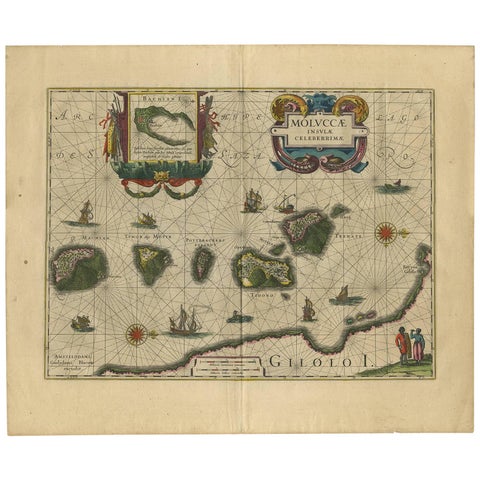
Maps and Sea Charts · Moluccas
Antique Map of the Spice Islands 'Moluccas', Indonesia by W. Blaeu, circa 1640
1640 · 58.5 × 50 cm€1,400
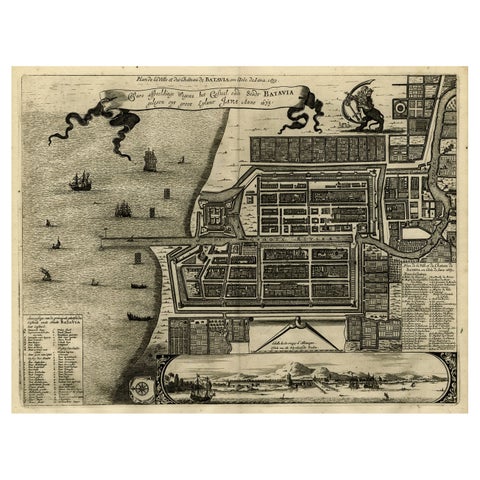
Maps and Sea Charts · Java
Antique Map of Batavia, Dutch East Indies, Nowadays Jakarta, Indonesia, ca.1669
1669 · 37.5 × 32.2 cm€1,350
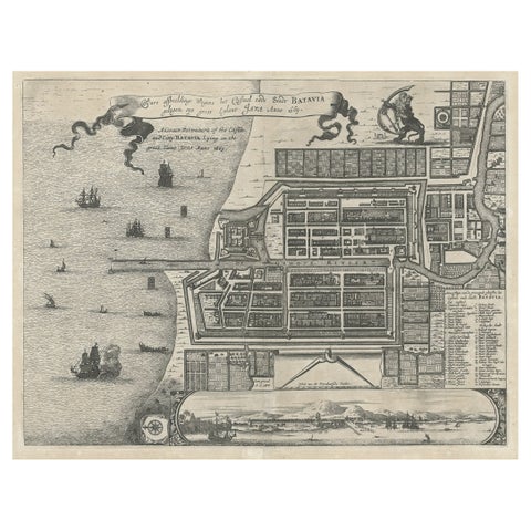
Maps and Sea Charts · Java
Antique Plan of the Castle & City of Batavia 'Jakarta' on Java, Indonesia, c1669
1669 · 44.5 × 39 cm€1,250
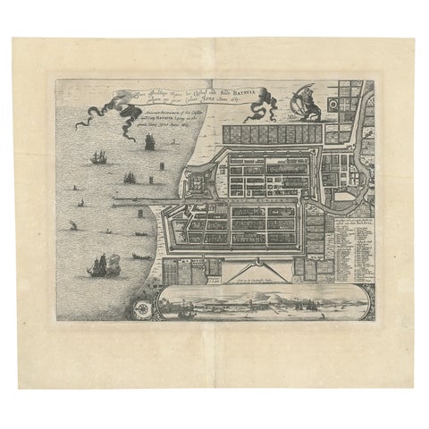
Maps and Sea Charts · Java
Antique Map of Batavia 'Jakarta', Indonesia by Montanus, circa 1669
1669 · 44.5 × 39 cm€1,250
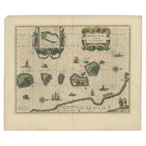
Maps and Sea Charts · Moluccas
Antique Map of the Maluku Islands by Blaeu, c.1640
1640 · 57.5 × 29 cm€1,169
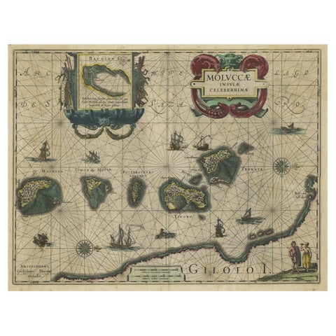
Maps and Sea Charts · Moluccas
Decorative Map of the Spice Islands in the Mollucas, Indonesia, ca.1640
1640 · 56.5 × 47 cm€1,150
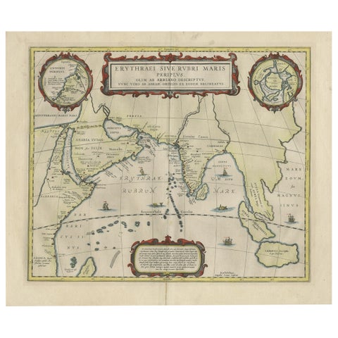
Maps and Sea Charts · Java
Old Map of Ancient Times covering Egypt Towards Arabia and India to Java, c.1660
1660 · 57 × 49.5 cm€1,100
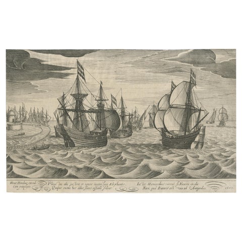
The Company
Antique Print of a Fleet of Nine Ships Departing to the East Indies '1603'
1603 · 34.5 × 22 cm€1,000
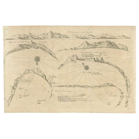
Maps and Sea Charts
Rare Map of Six Coast Views and Anchorages of Sierra Leone and Indonesia, 1660
1660 · 54 × 35.5 cm€900
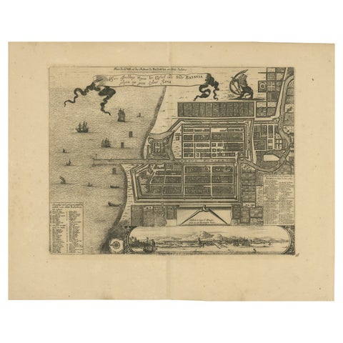
Maps and Sea Charts · Java
1728 Map of Batavia Castle & City, Java, Van der Aa after 1669
1728 · 46.5 × 36.6 cm€880
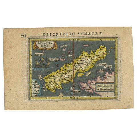
Maps and Sea Charts · Sumatra
1616 Bertius Map of Sumatra, Singapore and the Straits of Malacca
1616 · 19 × 12 cm€840

Maps and Sea Charts · Java
Rare Small Map of Sumatra, Java, Borneo, Macassar, Madura, Bali, 1614
1614 · 24 × 18 cm€750
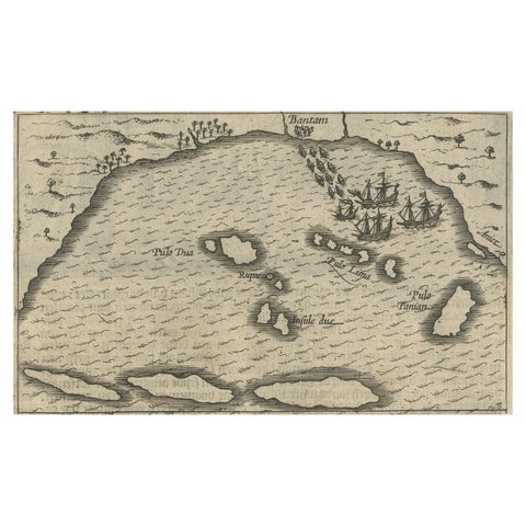
Maps and Sea Charts · Java
Small Map of Bantam with Dutch Ships and an Engraving of Portugese, 1614
1614 · 24 × 18 cm€750
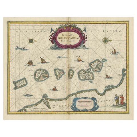
Maps and Sea Charts · Moluccas
Beautiful Antique Map of the Moluccas or Spice Islands, Indonesia, ca.1650
1650 · 57.5 × 53 cm€740
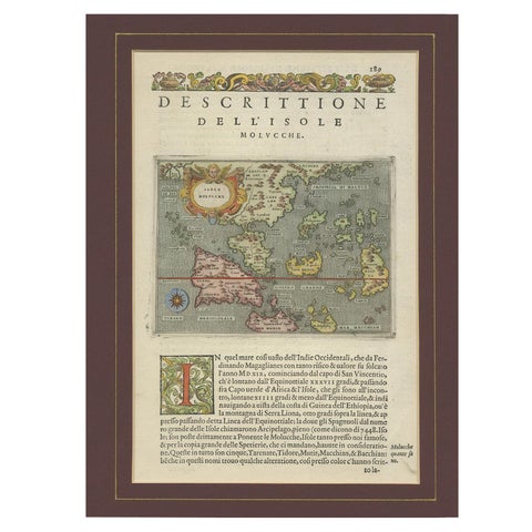
Maps and Sea Charts · Moluccas
Antique Map of the Moluccas by Porcacchi, circa 1620
1620 · 27 × 37 cm€720
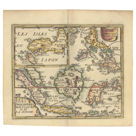
Maps and Sea Charts
1692 Jacq. Peeters Map: East Indies, Indonesia, Japan, Philippines and Singapore
1692 · 16.51 × 13.97 cm€660
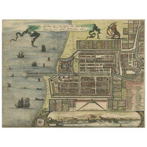
Maps and Sea Charts · Java
Rare 17th Century Map of Batavia and Castle on Java by Isaac de l'Obel
circa 1681 · 36 × 27.1 cm€660
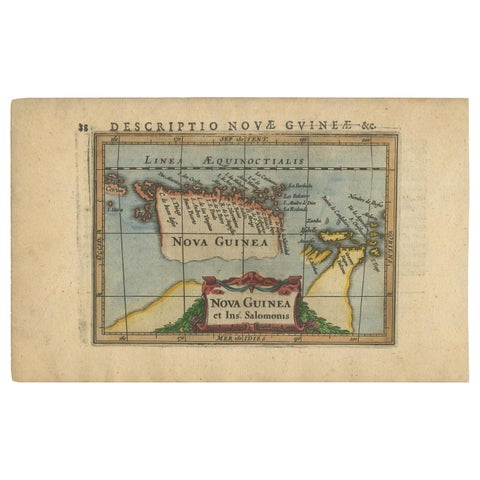
Maps and Sea Charts · New Guinea
Antique Miniature Map of New Guinea by Bertius, '1618'
1618 · 20 × 12.5 cm€650
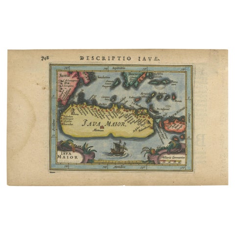
Maps and Sea Charts · Java
Antique Miniature Map of Java by Bertius '1618'
1618 · 20 × 12.5 cm€650
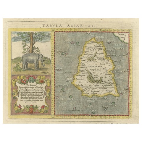
Maps and Sea Charts · Sumatra
1621 Ptolemy & Magini Map of Taprobana (Sumatra) with Elephant Inset
1621 · 19 × 28 cm€620
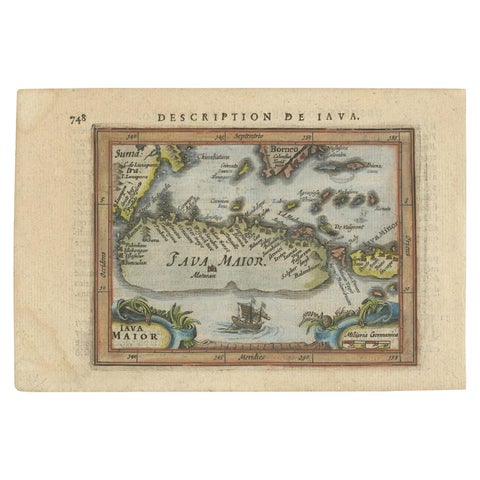
Maps and Sea Charts · Java
Antique Miniature Map of Java by Bertius/Hondius '1618'
1618 · 18 × 12.5 cm€550
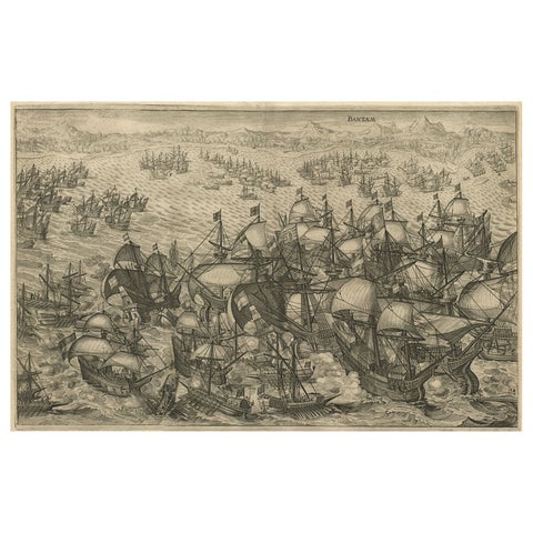
The Company · Java
Engraving of Dutch Attacking the Portuguese Fleet off Bantam, Indonesia, 1644
1644 · 37 × 31 cm€550
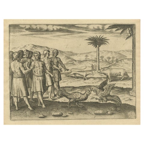
Peoples and Costume · Java
The Cockfight of Java: A 1601 de Bry Engraving of Cultural Pastimes
1601 · 20 × 30 cm€550
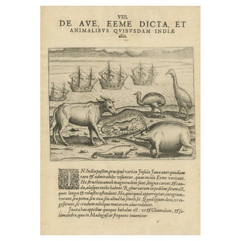
Flora and Fauna
Rare Creatures of the East: A 1601 de Bry Copper Engraving from the Indies
1601 · 20 × 30 cm€550
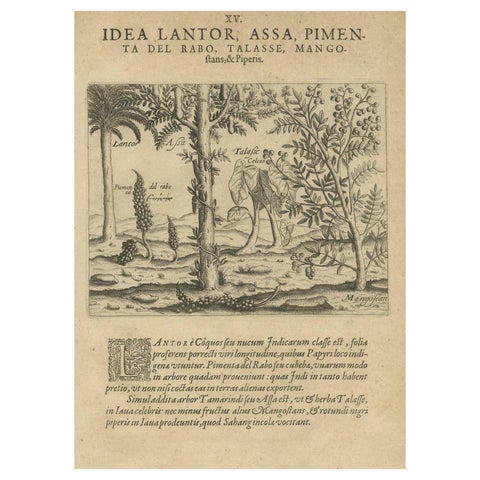
Flora and Fauna
Verdant Wonders: Exotic Trees and Spices of India in De Bry's 1601 Illustration
1601 · 20 × 30 cm€550
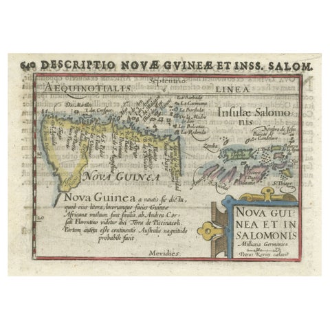
Maps and Sea Charts · New Guinea
Rare Original Miniature Map of Papua New Guinea and the Salomon Islands, 1600
1600 · 18 × 12 cm€540
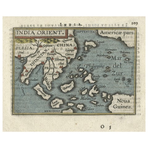
Maps and Sea Charts · New Guinea
1601 Miniature Map of Southeast Asia & Nova Guinea by Ortelius, Vrients Edition
1601 · 15.5 × 12 cm€540
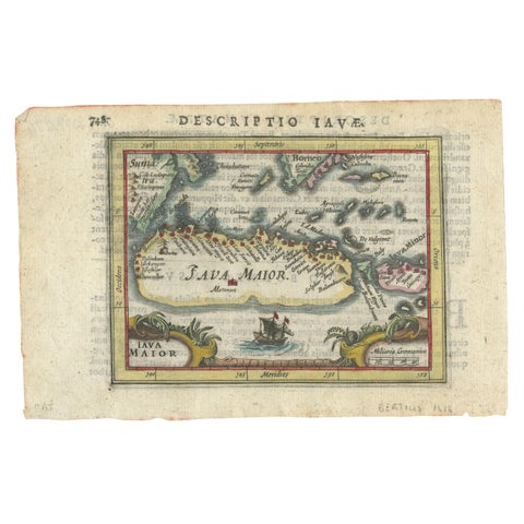
Maps and Sea Charts · Java
Rare 16th Century Original Handcolored Miniature Map of Java, Indonesia, 1616
1616 · 19 × 12.5 cm€490
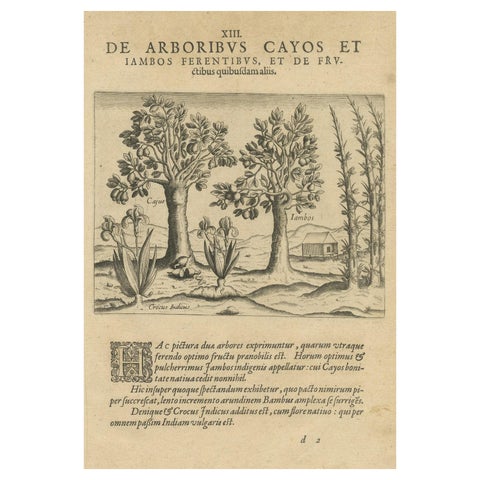
Flora and Fauna
Exotic Flora of the Indies: The Cajus and Jambos Trees Copper Engraved in 1601
1601 · 20 × 30 cm€490
The spice race: Before 1700
The first Dutch fleet reached Bantam in 1596, the VOC was founded in 1602 and Batavia in 1619. The prints of this age come from the books of the voyages, De Bry's India Orientalis, and the great Amsterdam atlases of Blaeu and Janssonius, whose maps of the Moluccas and Java set the image of the archipelago.
Explore
Makers and books
Places
Subjects