Close-ups
Framed and on the wall
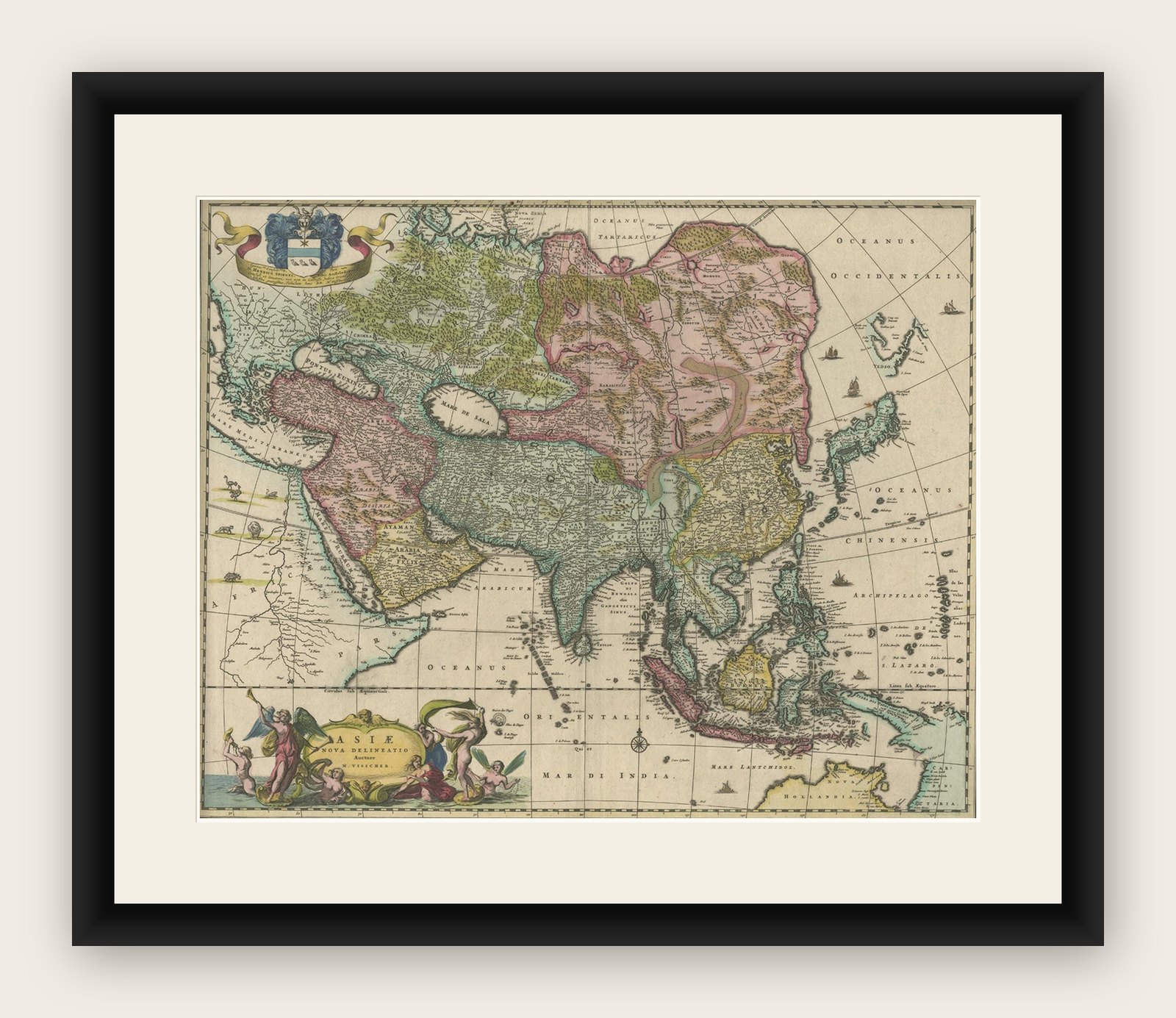
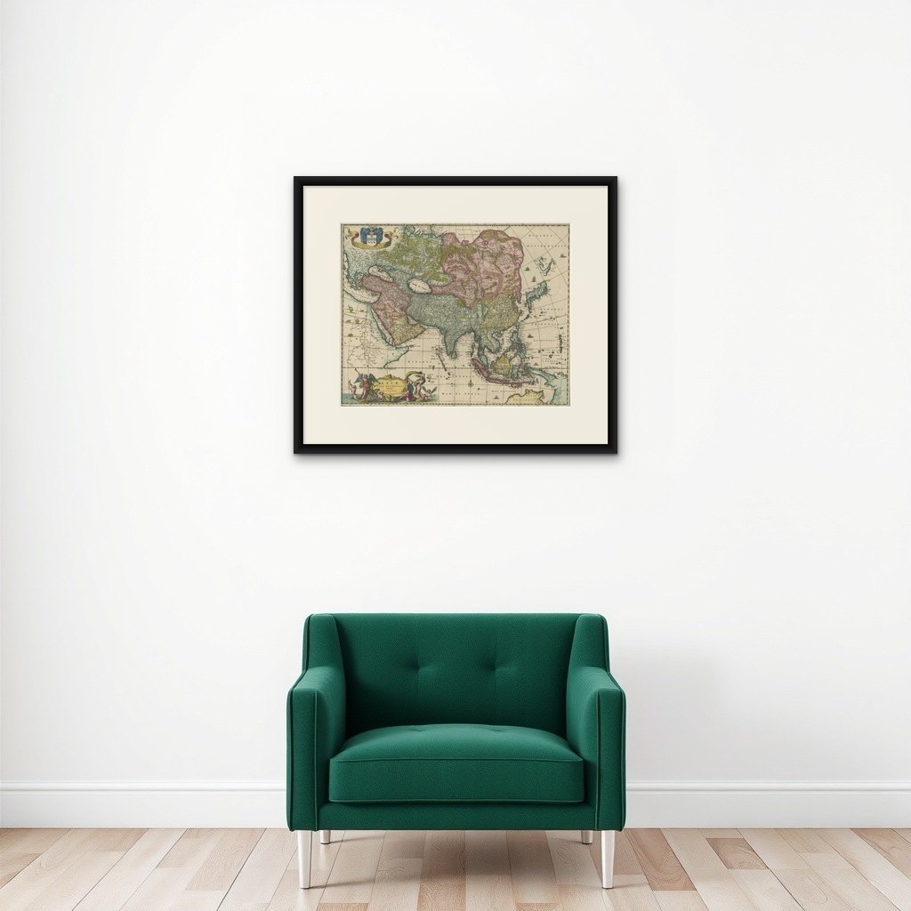

Frame and rooms are illustrations of how the print could look, drawn to its real size; it is sold unframed unless the description says otherwise.
Maps and Sea Charts
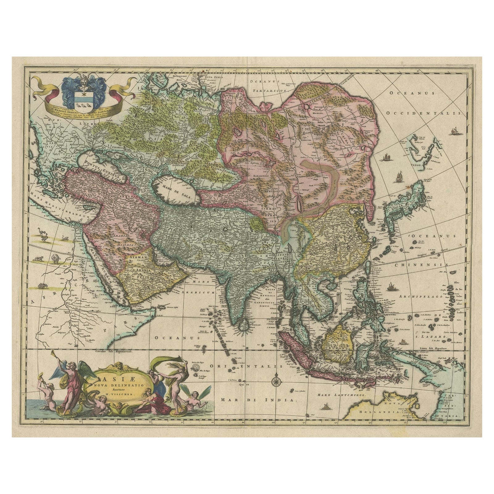
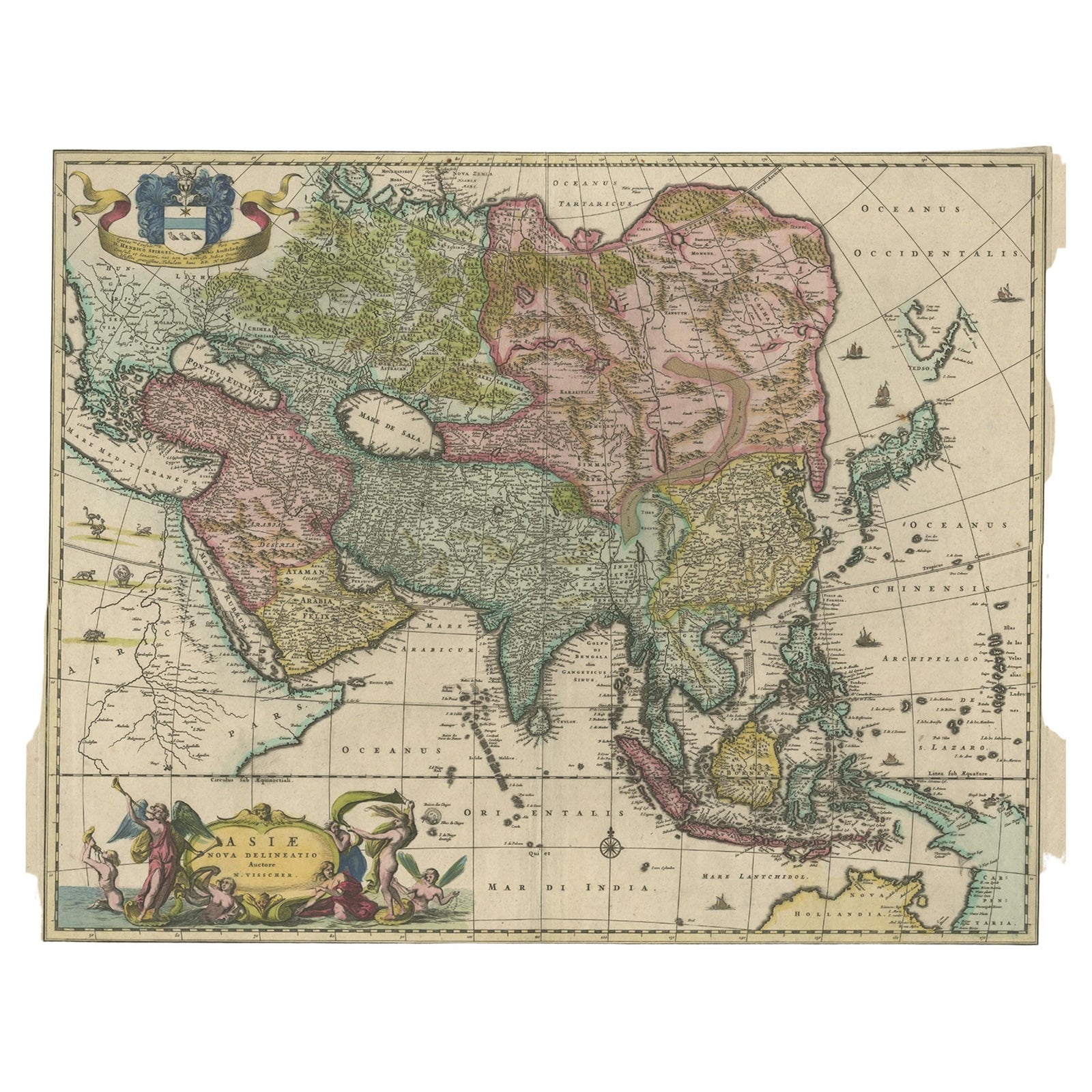
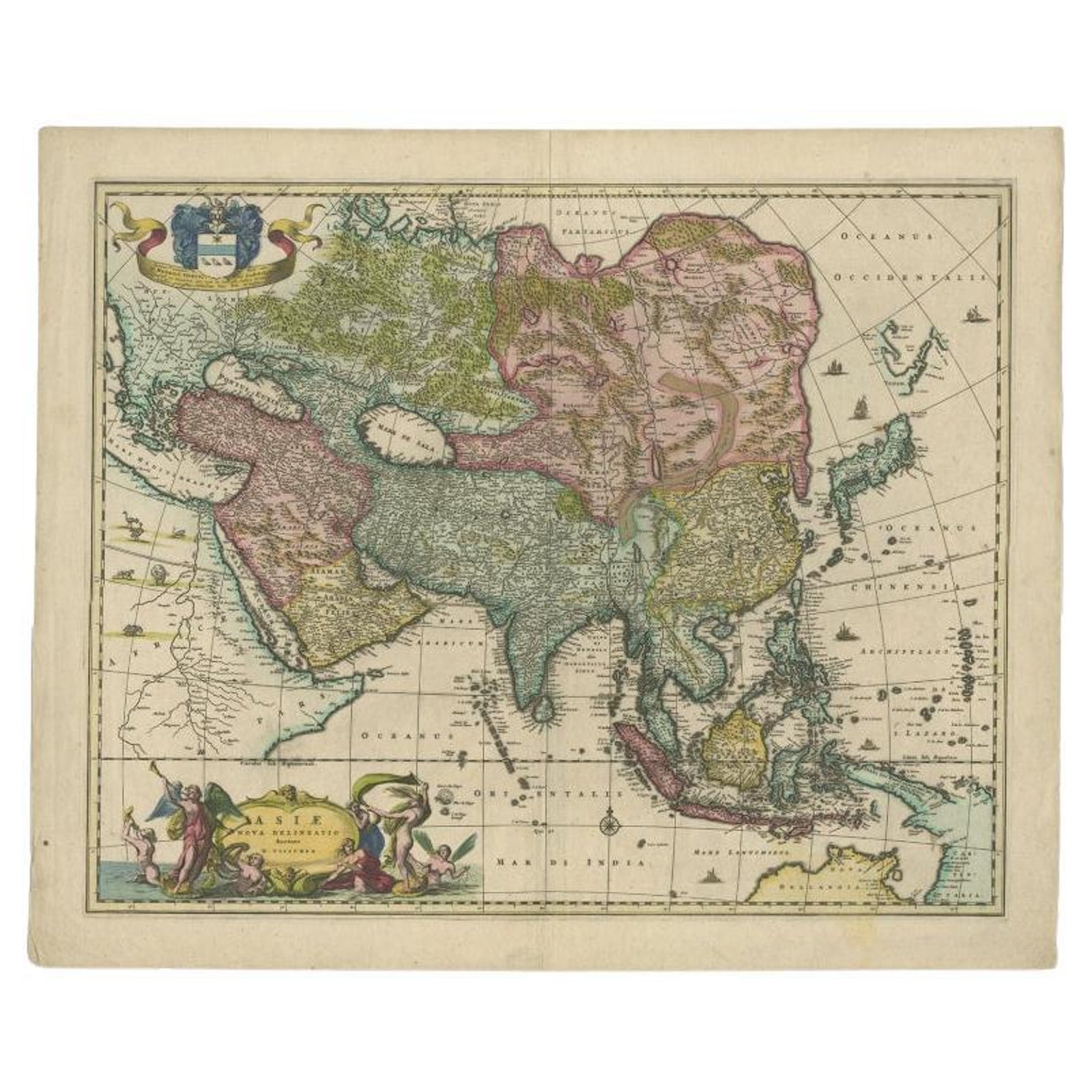
Antique Map of Asia and the East Indies and Korea as a Peninsula, ca.1660
$2,800
€2,500 · £2,095
Original print, not a reproduction
Ships worldwide from the Netherlands, insured and tracked. 14-day returns.
- Date
- 1660
- Sheet size
- 19.7 × 24 in (50 × 61 cm)
- Condition
- Good. General age-related toning. Minor wear, please study image carefully.
- Collection
- Maps and Sea Charts
- Period
- The spice race, before 1700
- Stock no.
- f_26091402
What the condition grades mean
- Excellent
- Bright and clean, with no faults worth mentioning.
- Very good
- Only light signs of age, such as faint toning.
- Good
- Normal signs of age for a sheet of this period: toning, some foxing, small marks or neat old repairs.
- Fair
- Clear faults such as staining, tears or repairs, priced to match.
Every fault we see is written in the condition note, and the whole sheet is shown uncropped in the photos.
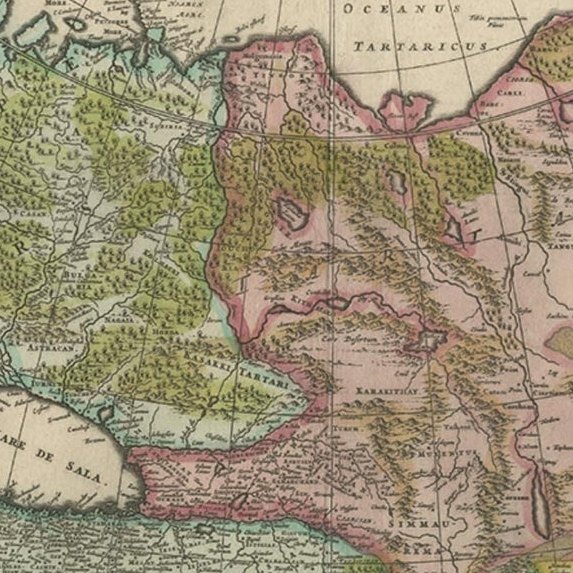
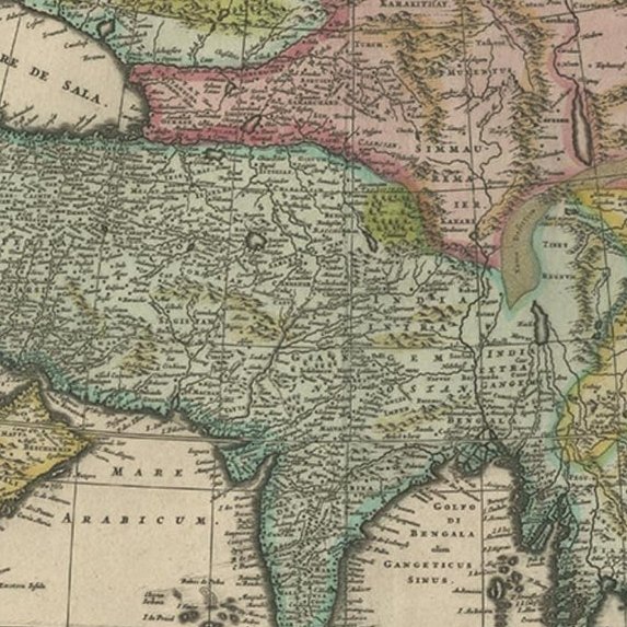
Antique map titled 'Asiae nova delineatio'. Decorative map of Asia and the East Indies. The map shows Korea as a peninsula. In China the Great Wall is depicted, as well as a long stretch of desert, identified as the Xamo. Australia and New Guinea include new discoveries of Tasman, Janszoon and Cartensz. Beautiful detailing throughout with rivers, mountains and forests, as well as sailing vessels and a compass rose. Several animals are shown on the African continent such as an ostrich, elephant and rhinoceros. The title is enclosed in a decorative cartouche on the lower left, and a cartouche with dedication to Henrico Spieghel, the Senator of Amsterdam, as well as his coat of arms, are shown at the top left.
Artists and Engravers: The Visscher family were art and map dealers in Amsterdam during the 17th century. Funded by C. J. Visscher (1587-1652), the business was continued by his son and grandson both named Nicolaes. Nicolaes Visscher I was born 1618 in Wenns, Austria. He died 1679 in Linz. Nicolaes Visscher II (Amsterdam; 1649-1702). After the death of Nicolas II, his widow passed the business to Pieter Schenk.
Image size: 54 x 44 cm.
Explore