By island · Maluku
Moluccas
The spice islands: Ambon, Banda, Ternate, Tidore, Seram, Buru and Halmahera, the reason the VOC came east.
114 sheets
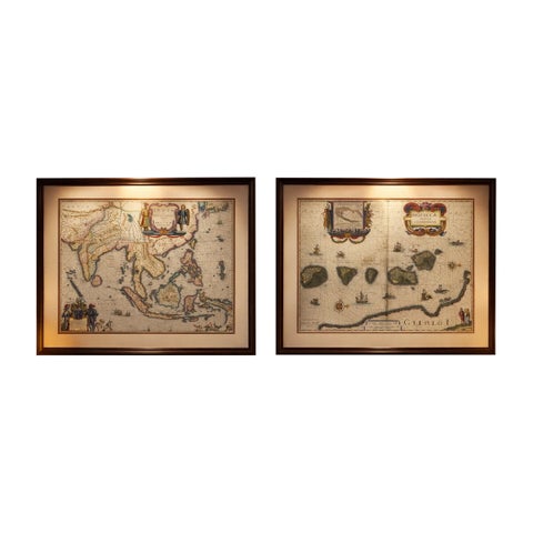
Maps and Sea Charts · Moluccas
Antique Blaeu Maps, Indonesia & Moluccas, VOC Era, c.1642
1642 · 59 × 50 cm$10,970
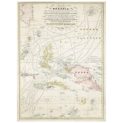
Maps and Sea Charts · Moluccas
Large Italian Map of Islands of Oceania, incl Papua, Timor, Banda, Ceram, 1855
1855 · 54 × 74 cm$2,965
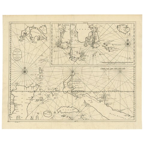
Maps and Sea Charts · Moluccas
Large Antique Detailed Map of a Part of the Spice Islands, Indonesia, 1726
1726 · 64 × 52 cm$1,625
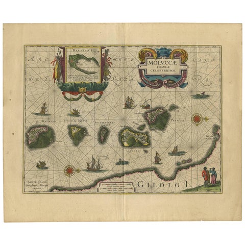
Maps and Sea Charts · Moluccas
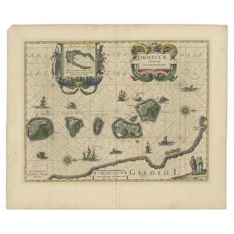
Antique Map of the Spice Islands 'Moluccas', Indonesia by W. Blaeu, circa 1640
1640 · 58.5 × 50 cm$1,565
Maps and Sea Charts · Moluccas
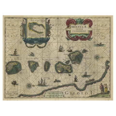
Antique Map of the Maluku Islands by Blaeu, c.1640
1640 · 57.5 × 29 cm$1,310
Maps and Sea Charts · Moluccas
Decorative Map of the Spice Islands in the Mollucas, Indonesia, ca.1640
1640 · 56.5 × 47 cm$1,285
Maps and Sea Charts · Moluccas
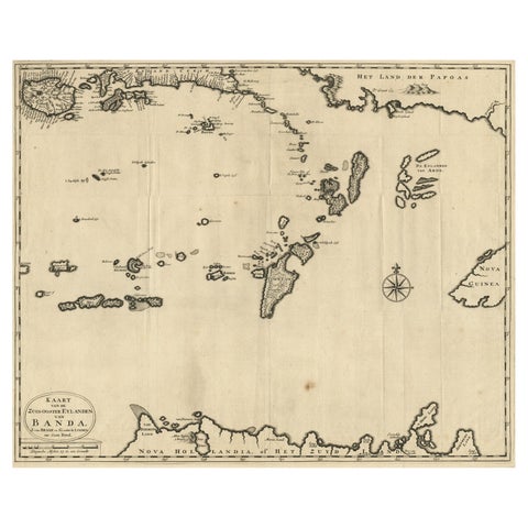
Map of the Southeastern Part of the Banda Islands, Incl Northern Australia, 1726
1726 · 58.5 × 47 cm$1,255
Maps and Sea Charts · Moluccas
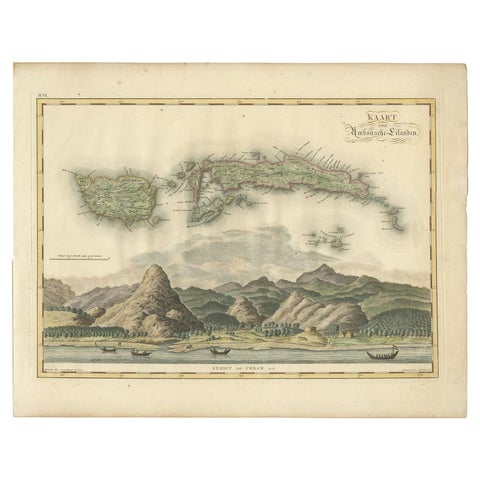
Antique Map of Seram, Boero and the Banda Islands by Van den Bosch '1818'
1818 · 58 × 46 cm$1,205
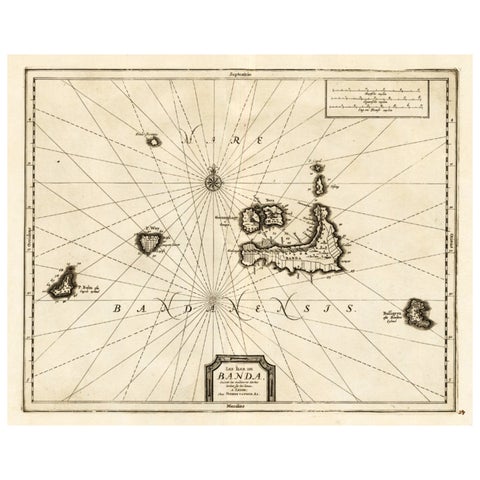
Maps and Sea Charts · Moluccas
Antique Map of the Islands of Banda, Indonesia from a Very Rare Edition, 1725
1725 · 49 × 38 cm$995
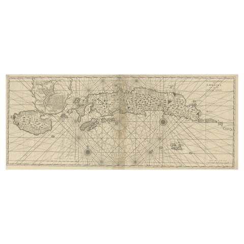
Maps and Sea Charts · Moluccas
Antique Map of the Moluccas or the Famed Spice Islands of Indonesia, 1724
1724 · 81.5 × 35 cm$995
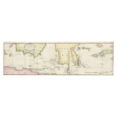
Maps and Sea Charts · Java
Rare Chart of Indonesia Including Borneo, Java, Celebes, Ceram and More, 1779
1779 · 74.5 × 23 cm$995
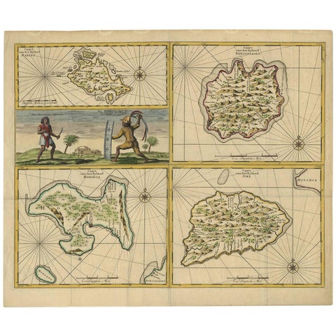
Maps and Sea Charts · Moluccas
Antique Map of Manipa, Nusa-Laut, Saparua & Haruku 'Indonesia' by F. Valentijn
Date not stated · 60 × 50.5 cm$950
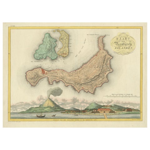
Maps and Sea Charts · Moluccas
Colonial Cartography: The Banda Islands, the Epicenter of the Spice Trade, 1818
1818 · 61.5 × 49.2 cm$940
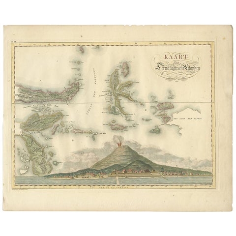
Maps and Sea Charts · Moluccas
Antique Map of the Ternate Islands by Van den Bosch '1818'
1818 · 58 × 46 cm$930
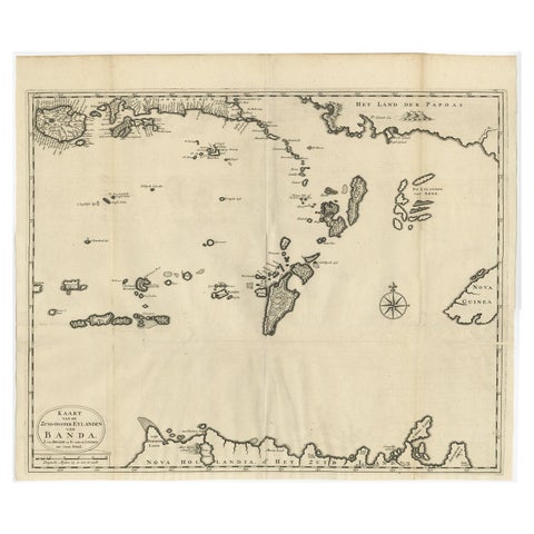
Maps and Sea Charts · Moluccas
Original Antique Map Southeast of the Banda or Spice Islands, Indonesia, 1726
1726 · 59 × 50 cm$860
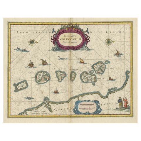
Maps and Sea Charts · Moluccas
Beautiful Antique Map of the Moluccas or Spice Islands, Indonesia, ca.1650
1650 · 57.5 × 53 cm$830
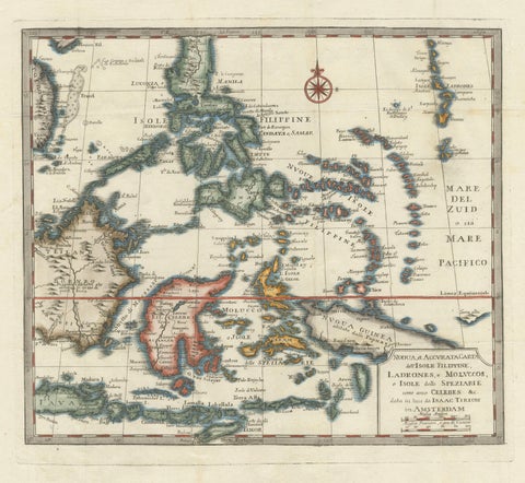
Maps and Sea Charts · Moluccas
Antique Map of the Philippines & Eastern Indonesia: Spice Islands by Tirion 1738
1738 · 48.7 × 37.6 cm$825
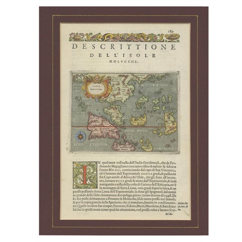
Maps and Sea Charts · Moluccas
Antique Map of the Moluccas by Porcacchi, circa 1620
1620 · 27 × 37 cm$805
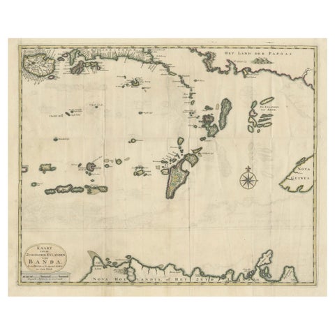
Maps and Sea Charts · Moluccas
Old Antique Map of the Banda Islands (Southeast), Indonesia & Northern Australia
Date not stated · 61 × 51.5 cm$780
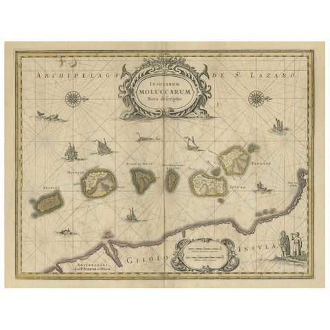
Maps and Sea Charts · Moluccas
Old Map of the Moluccas, Known as the Famous Spice Islands, Indonesia, ca.1730
1730 · 58.4 × 44 cm$770
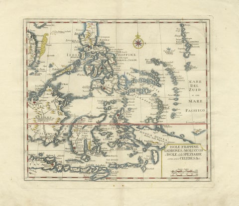
Maps and Sea Charts · Celebes
Antique Map Philippines, Moluccas, Celebes, Spice Islands, Tirion, c.1738
1738 · 48.7 × 37.6 cm$770
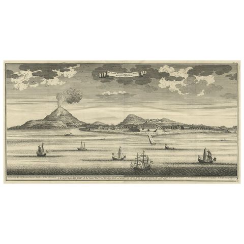
The Company · Moluccas
Beautiful Old View of Spice Island Banda Neira with Fort Nassau, Indonesia, 1726
1726 · 59 × 34 cm$770
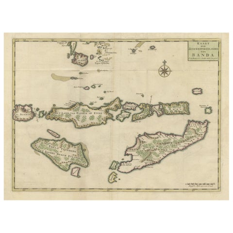
Maps and Sea Charts · Moluccas
Old Antique Map of the Sumbawa, Flores, Timor in the Banda Region of Indonesia
Date not stated · 53 × 39.5 cm$745
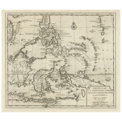
Maps and Sea Charts · Moluccas
Old Map of the Philippines and Part of Indonesia 'Spice Islands', 1744
1744 · 40 × 33.5 cm$740
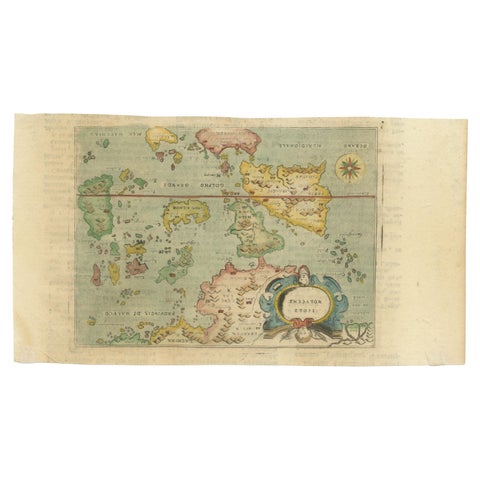
Maps and Sea Charts · Moluccas
Antique Miniature Map of the Maluku Islands by Lasor a Varea, 1713
1713 · 21.8 × 12 cm$670
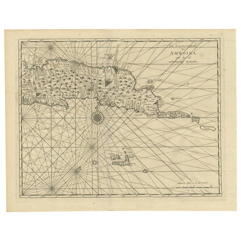
Maps and Sea Charts · Moluccas
Antique Map of Ambon and Surroundings by Valentijn '1726'
1726 · 43 × 34 cm$615
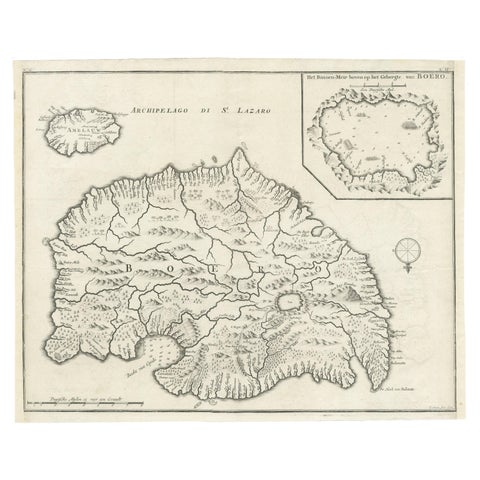
Maps and Sea Charts · Moluccas
Antique Map of Buru Island, Indonesia, c.1725
1725 · 40 × 32 cm$615
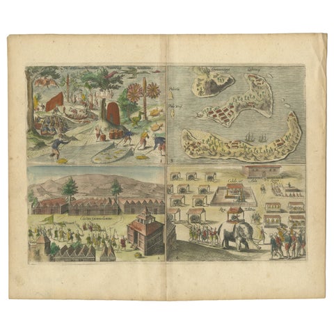
Towns and Landscapes · Moluccas
Antique Engravings of Mauritius and Indonesia, incl de Banda Islands, c.1730
1730 · 31.8 × 22.4 cm$615
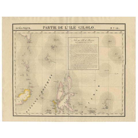
Maps and Sea Charts · Celebes
Antique Map of Southern Mindanao, Sulawesi and Gilolo Halmahera, Indonesia, 1827
1827 · 68 × 53 cm$585
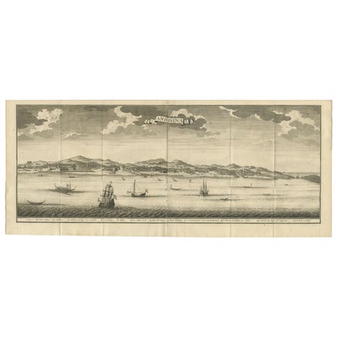
Towns and Landscapes · Moluccas
Antique Print of Ambon, Indonesia by Valentijn, 1726
1726 · 80 × 34 cm$580
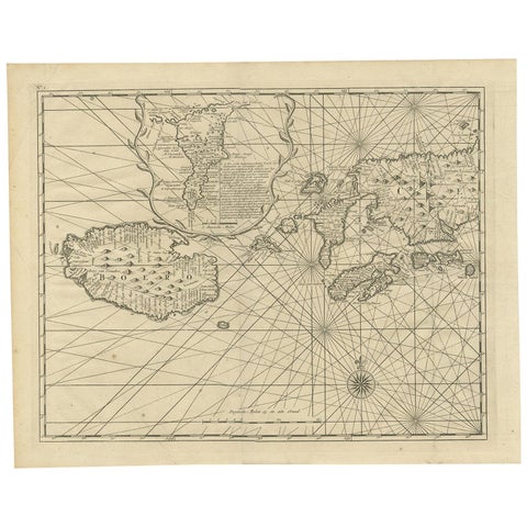
Maps and Sea Charts · Moluccas
Antique Map of Ambon and Boero by Valentijn, 1726
1726 · 42.5 × 34 cm$560
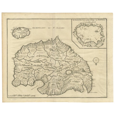
Maps and Sea Charts · Moluccas
Antique Map of Boero in Indonesia by Valentijn, 1726
1726 · 42 × 34 cm$560
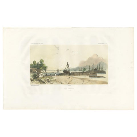
Towns and Landscapes · Moluccas
Antique Print of the Port of Ambon by D'Urville, circa 1850
1850 · 51.5 × 32 cm$560
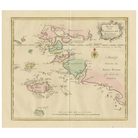
Maps and Sea Charts · Moluccas
Antique Map extending from the Spice Islands to the west of Papua New Guinea
Date not stated · 55 × 44 cm$550
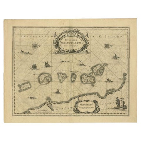
Maps and Sea Charts · Moluccas
Antique Map of the Moluccas in Indonesia by Janssonius, C.1650
1650 · 56.5 × 44.3 cm$540
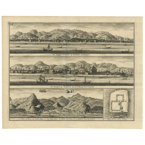
The Company · Moluccas
Antique Print of the Trading Posts of Ambon by Valentijn, 1726
1726 · 42.5 × 34 cm$505
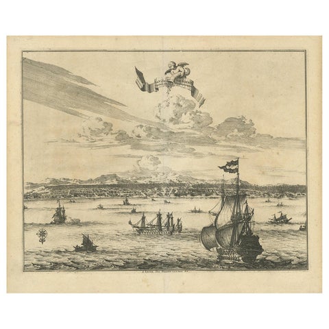
Towns and Landscapes · Moluccas
Antique Print of Amboina by Van der Aa, circa 1725
1725 · 39.5 × 33 cm$505
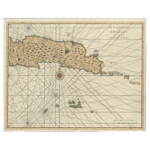
Maps and Sea Charts · Moluccas
Antique Map of Eastern Seram, Part of the Maluku Island in East Indonesia, 1726
1726 · 38.9 × 31 cm$505
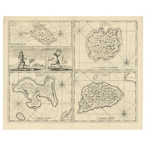
Maps and Sea Charts · Moluccas
Antique Map of Manipa and Other Maluku Islands, Indonesia, 1726
1726 · 52.5 × 61 cm$505
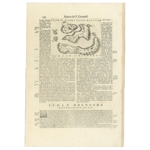
Maps and Sea Charts · Moluccas
Antique Map of the Banda Islands or Spice Islands, Moluccas, Indonesia, 1697
1697 · 33 × 48 cm$505
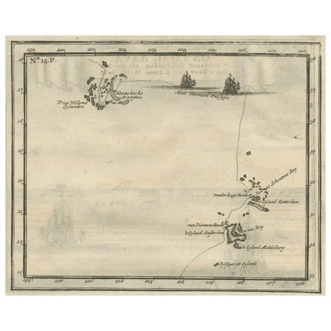
Maps and Sea Charts · Moluccas
Antique Map of the Banda Islands and the Route of Abel Tasman, Indonesia, 1726
1726 · 20 × 34 cm$505
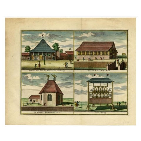
Towns and Landscapes · Moluccas
Antique Print with Four Views of Ambon, Indonesia, 1726
1726 · 46.9 × 38.8 cm$490
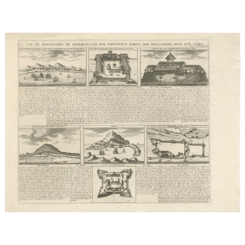
The Company · Java
Antique Dutch East Indies Forts Engraving, VOC Batavia, Ambon & Banda, c.1719
1719 · 50 × 41 cm$490
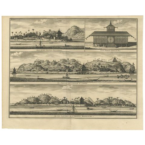
The Company · Moluccas
Antique Print of Hila and Fortresses by Valentijn '1726'
1726 · 41.5 × 34 cm$450
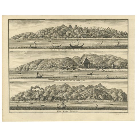
Towns and Landscapes · Moluccas
Antique Print with Three Views of Ambon by Valentijn, 1726
1726 · 42 × 34 cm$450
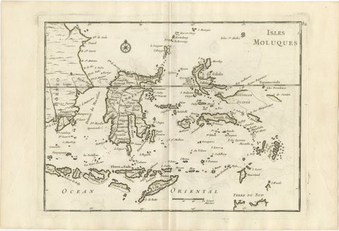
Maps and Sea Charts · Celebes
Antique Map of the Moluccas & Celebes, Le Rouge, French Engraving c.1750
1750 · 35.7 × 24.4 cm$440
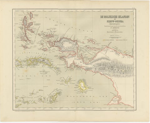
Maps and Sea Charts · Moluccas
Antique Colonial Dutch Map of the Moluccas & New Guinea by Dornseiffen, 1884
1884 · 48.5 × 39 cm$435
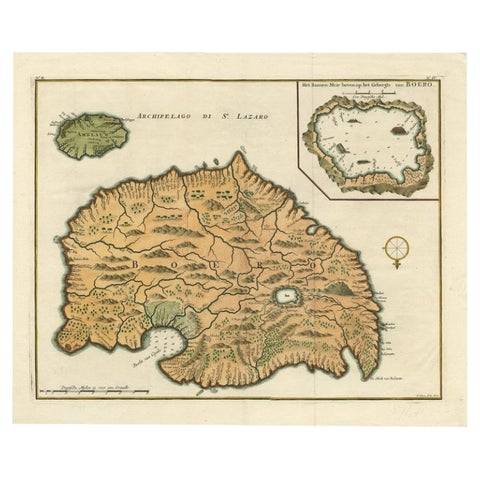
Maps and Sea Charts · Moluccas
Antique Map of Ambelau and Buru Island, Maluku or Moluccas in Indonesia, 1726
1726 · 42.7 × 34.8 cm$415
Moluccas in maps and prints
Cloves grew only in the northern Moluccas and nutmeg and mace only in the tiny Banda islands, and for that the Portuguese, Spanish, English and Dutch fought for a century. Blaeu's map of the Moluccas of about 1640, with its five clove islands set in a row, is one of the classic maps of the age.
Valentijn, who served as a minister on Ambon, filled his Oud en Nieuw Oost-Indiën of 1726 with maps, views and scenes of these islands, and many of them are here.
Other islands
Questions
What were the Spice Islands?
The Moluccas: the northern islands of Ternate, Tidore, Makian, Moti and Bacan, where cloves grew, and the Banda islands, the only source of nutmeg and mace until the 18th century.