Close-ups
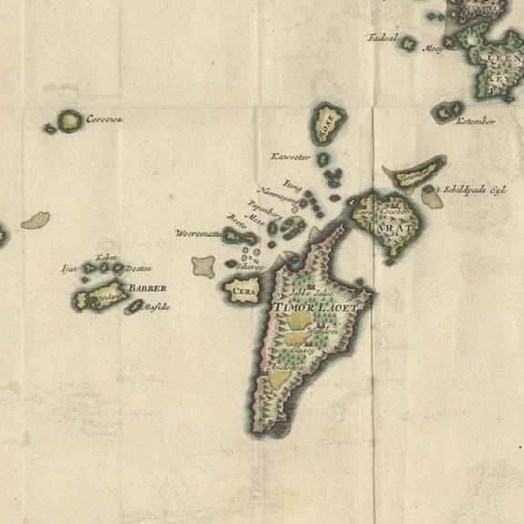
Framed and on the wall
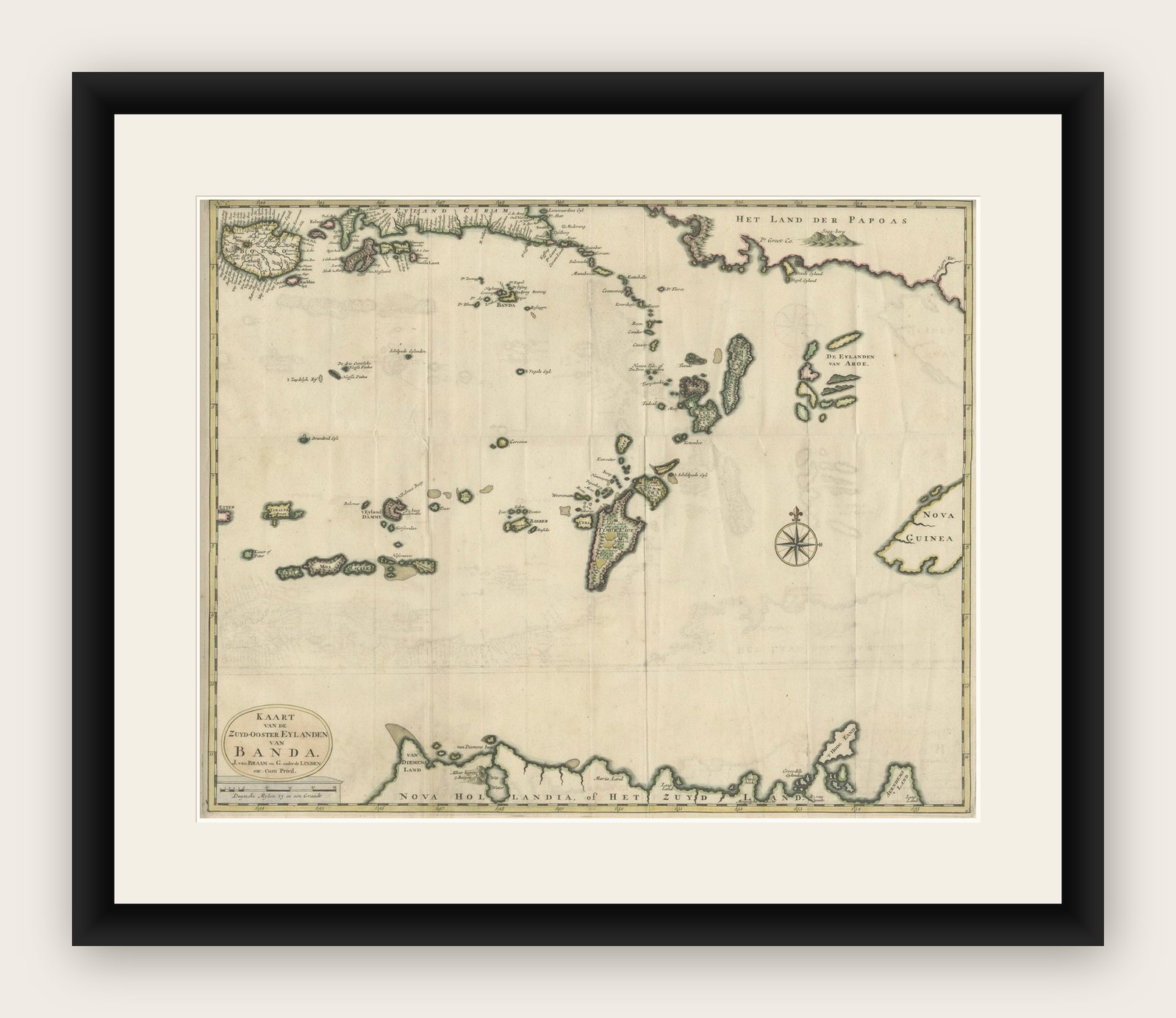
Frame and rooms are illustrations of how the print could look, drawn to its real size; it is sold unframed unless the description says otherwise.
Maps and Sea Charts
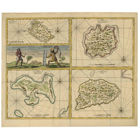
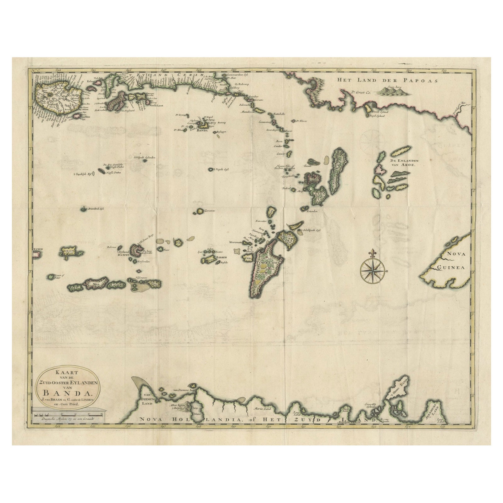
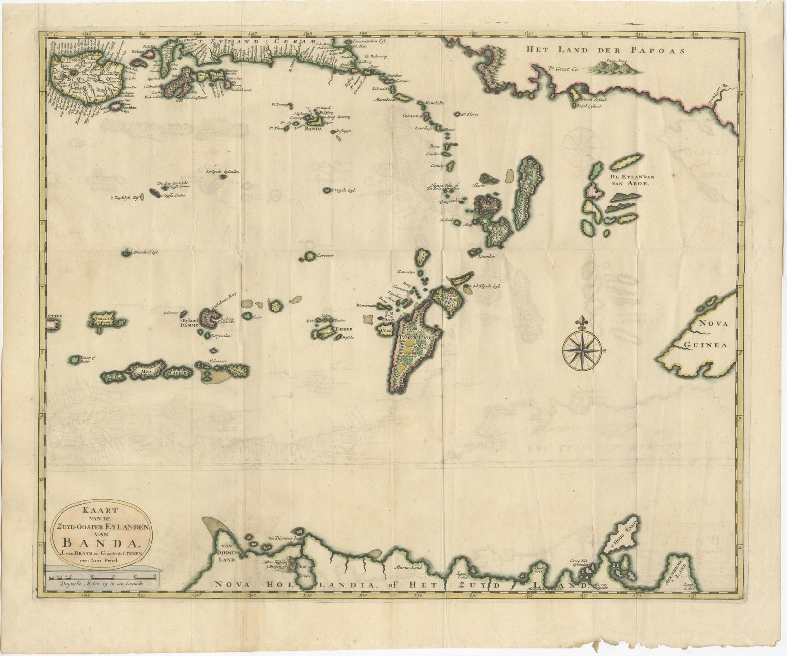
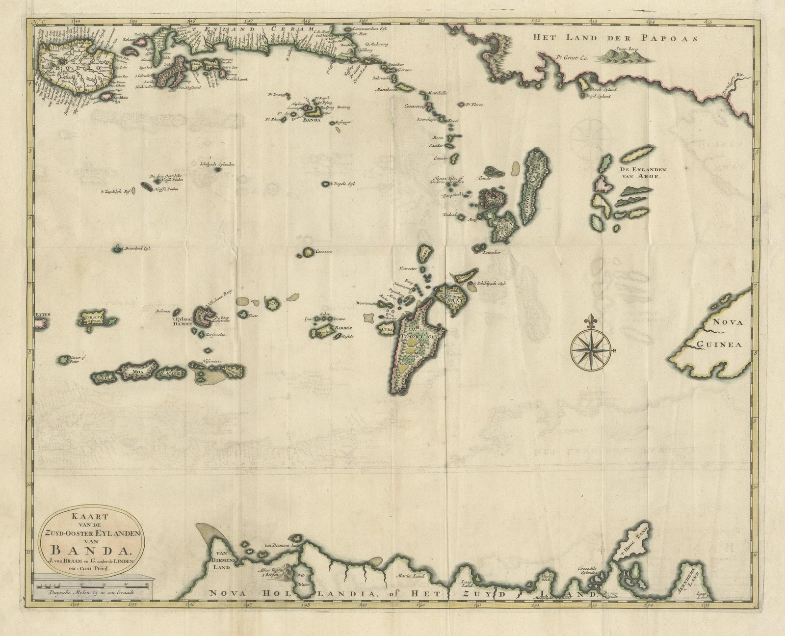
Old Antique Map of the Banda Islands (Southeast), Indonesia & Northern Australia
£585
$780 · €699
Original print, not a reproduction
Ships worldwide from the Netherlands, insured and tracked. 14-day returns.
- Date
- Not stated
- Sheet size
- 20.3 × 24 in (51.5 × 61 cm)
- Condition
- Good. General age-related toning, minor wear. Original folding lines, later hand coloring. Blank verso. Please study images carefully.
- Island
- Moluccas
- Collection
- Maps and Sea Charts
- Stock no.
- f_31000472
What the condition grades mean
- Excellent
- Bright and clean, with no faults worth mentioning.
- Very good
- Only light signs of age, such as faint toning.
- Good
- Normal signs of age for a sheet of this period: toning, some foxing, small marks or neat old repairs.
- Fair
- Clear faults such as staining, tears or repairs, priced to match.
Every fault we see is written in the condition note, and the whole sheet is shown uncropped in the photos.
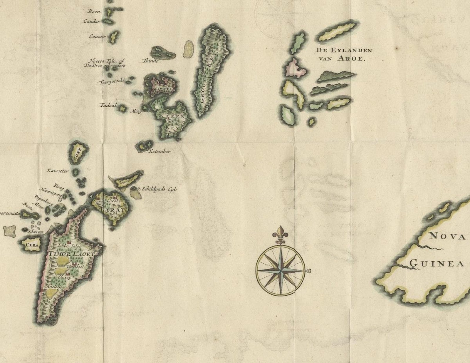
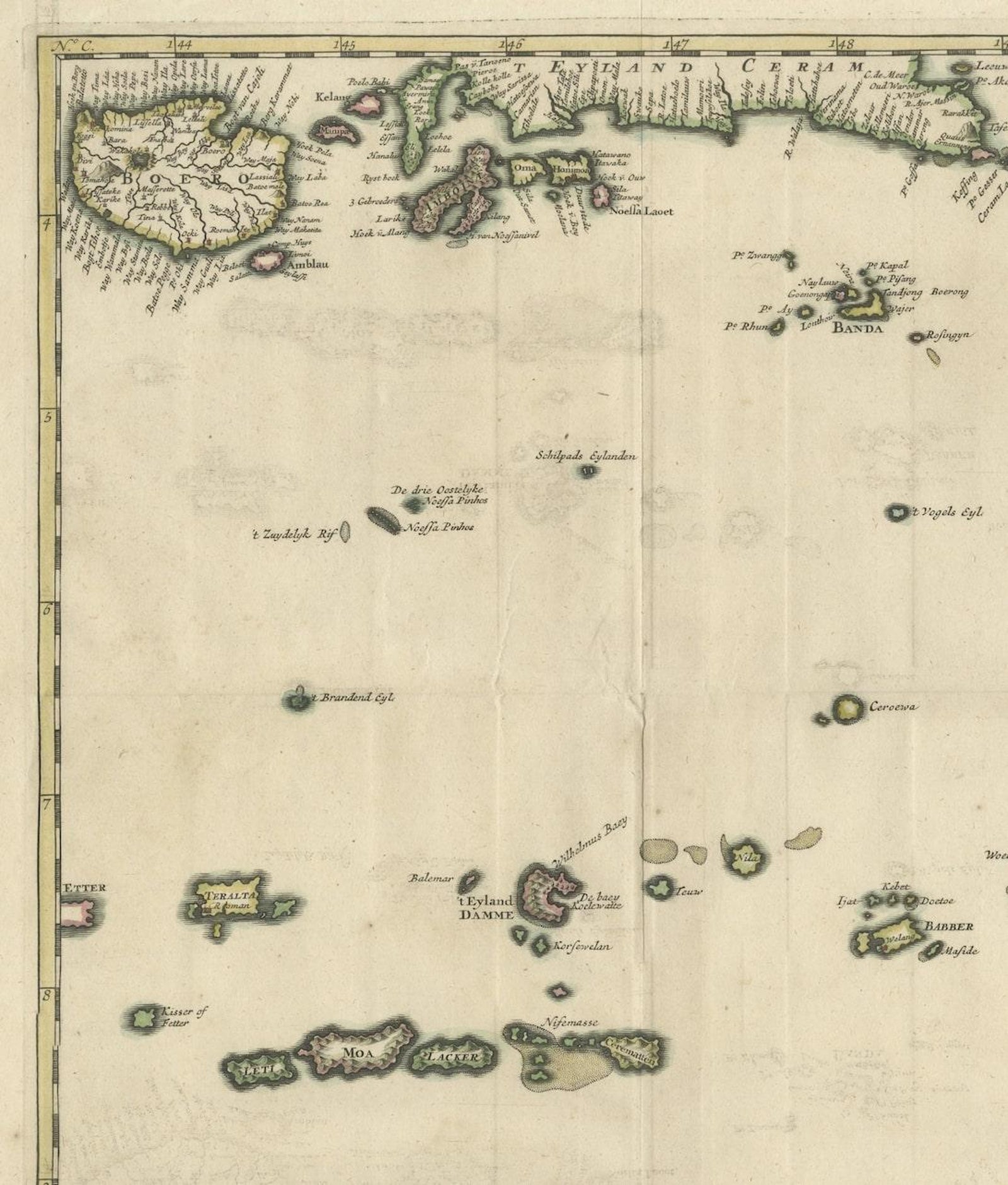
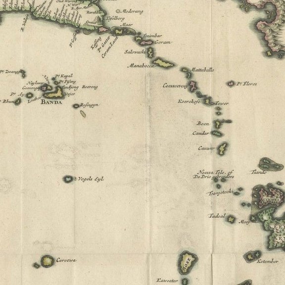
Original antique map titled 'Kaart van de Zuyd-Ooster Eylanden van Banda'. Important map of the seas and islands surrounding the Banda Islands, Indonesia, extending south to northern Australia, east to Papua New Guinea and north to Ceram. Published 1724-1726 by Joannes van Braam and Gerard Onder de Linden in "Oud en nieuw Oost-Indiën, vervattende een naaukeurige en uitvoerige verhandelinge van Nederlands mogentheyd in die gewesten, benevens eene wydluftige beschryvige der Moluccos . en alle de eylanden onder dezelve landbestieringen behoorende; het Nederlands comptoir op Suratte, en de levens der Groote Mogols (.)," François Valentyn.
Explore