By island · Papua
New Guinea
Western New Guinea, Raja Ampat, Dorey Harbour and Cenderawasih Bay, as the Dutch and French expeditions drew them.
39 sheets
Maps and Sea Charts · New Guinea
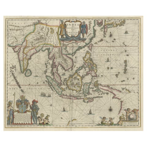
Original Blaeu Map of Southeast Asia from India to Tibet and Japan to New Guinea
1635 · 60 × 49.5 cm$3,920
Maps and Sea Charts · Moluccas
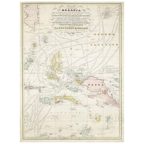
Large Italian Map of Islands of Oceania, incl Papua, Timor, Banda, Ceram, 1855
1855 · 54 × 74 cm$2,965
Maps and Sea Charts · New Guinea
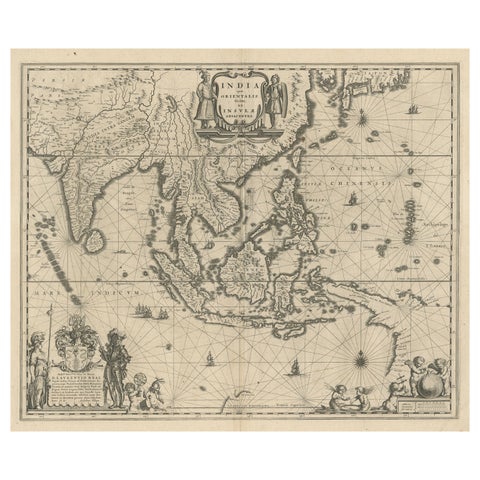
Map of Southeast Asia, Extending from India to Tibet & Japan to New Guinea, 1640
1640 · 60 × 50.5 cm$2,965
Peoples and Costume · Borneo
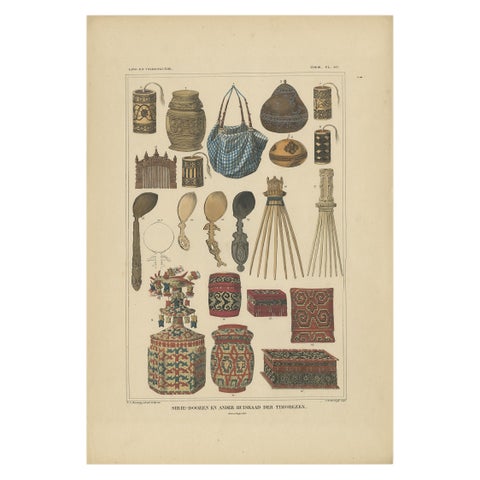
Set of 7 Decorative Antique Prints of Borneo, Timor and Papua Culture, ca. 1840
1840 · 31 × 45 cm$2,385
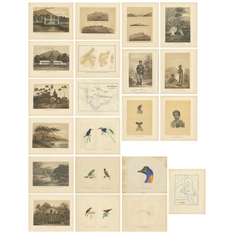
Towns and Landscapes · New Guinea
Set of 21 Antique Prints Illustrating the Travels to Cenderawasih Bay, 1875
1875 · 22.5 × 28 cm$1,735
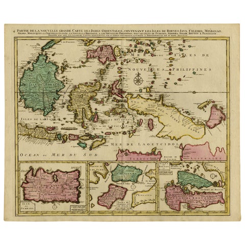
Maps and Sea Charts · Borneo
Old Map of Indonesian Islands Borneo, Celebes, New Guinea & New Britain, 1792
1792 · 66 × 55.3 cm$1,625
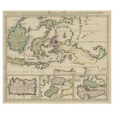
Maps and Sea Charts · Borneo
Old Map of the East Indonesian Islands Borneo, Celebes, New Guinea, Bali, 1792
1792 · 64.5 × 55 cm$1,400
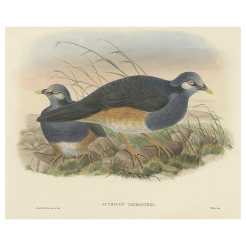
Flora and Fauna · New Guinea
Original Antique Hand-Colored Print of the Papuan Ground-Pigeon Bird, ca.1875
1875 · 53.5 × 35.5 cm$1,100
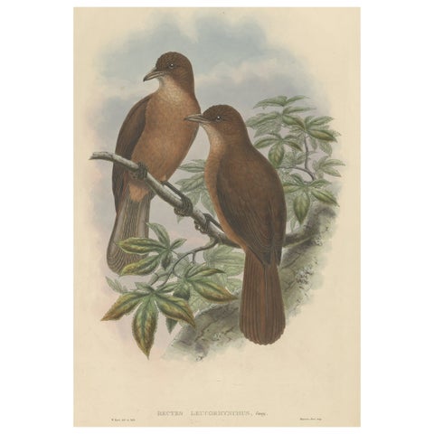
Flora and Fauna · New Guinea
Antique Bird Print of the White-Billed Wood-Shrike of Papua by Gould, ca.1880
1880 · 38.5 × 56 cm$1,085
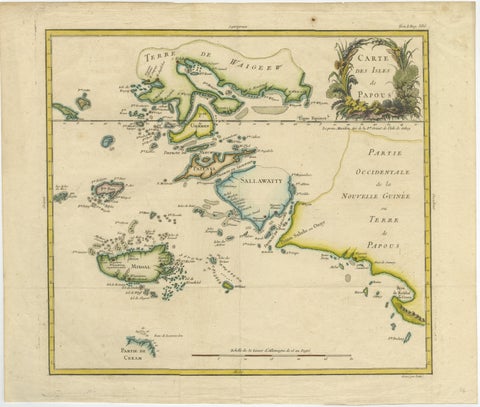
Maps and Sea Charts · New Guinea
Antique Map of Raja Ampat and New Guinea, Bellin, Papuan Islands c.1749
1749 · 44 × 36.5 cm$995
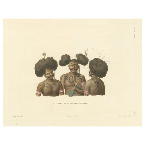
Peoples and Costume · New Guinea
Antique Print of Natives of New Guinea
Date not stated · 38.2 × 32.7 cm$920
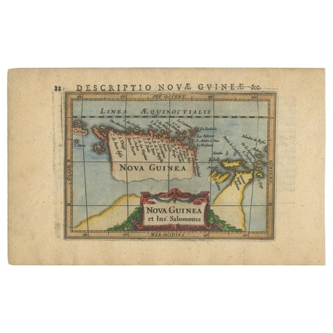
Maps and Sea Charts · New Guinea
Antique Miniature Map of New Guinea by Bertius, '1618'
1618 · 20 × 12.5 cm$730
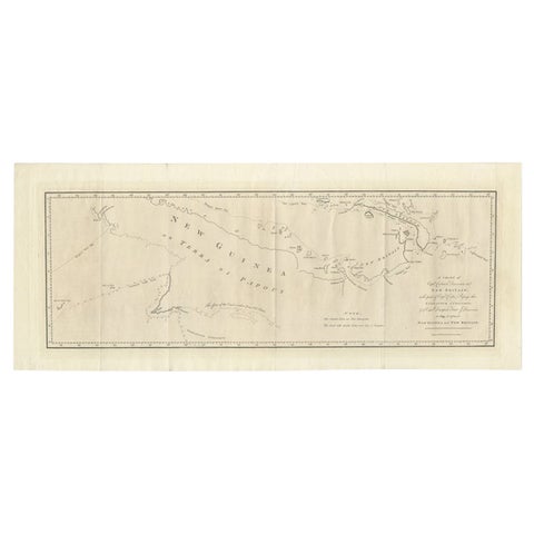
Maps and Sea Charts · New Guinea
Large Antique Map of New Guinea and New Britain Showing Capt. Cooks Tract, 1773
1773 · 29 × 71 cm$615
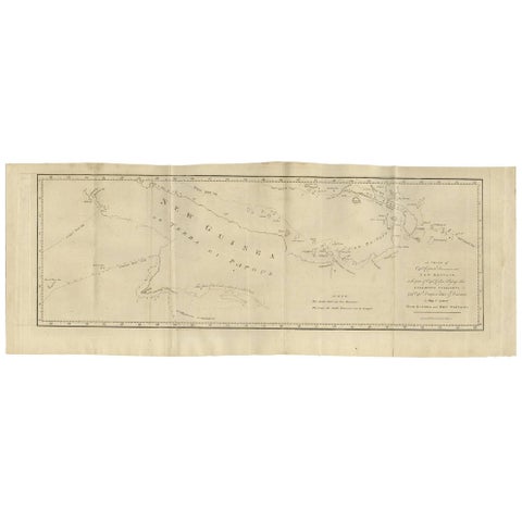
Maps and Sea Charts · New Guinea
Antique Map of New Guinea and New Britain by P. Carteret, circa 1773
1773 · 72.5 × 27 cm$615
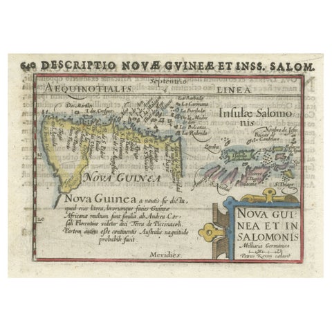
Maps and Sea Charts · New Guinea
Rare Original Miniature Map of Papua New Guinea and the Salomon Islands, 1600
1600 · 18 × 12 cm$605
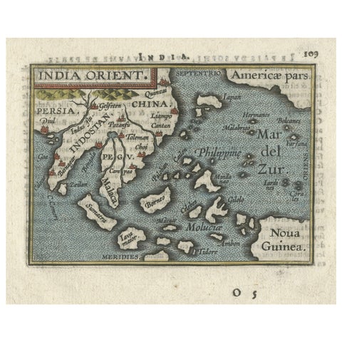
Maps and Sea Charts · New Guinea
1601 Miniature Map of Southeast Asia & Nova Guinea by Ortelius, Vrients Edition
1601 · 15.5 × 12 cm$605
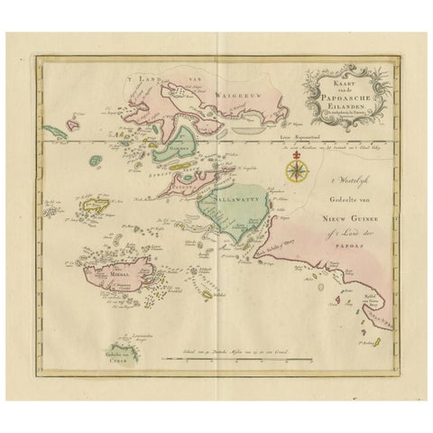
Maps and Sea Charts · Moluccas
Antique Map extending from the Spice Islands to the west of Papua New Guinea
Date not stated · 55 × 44 cm$550
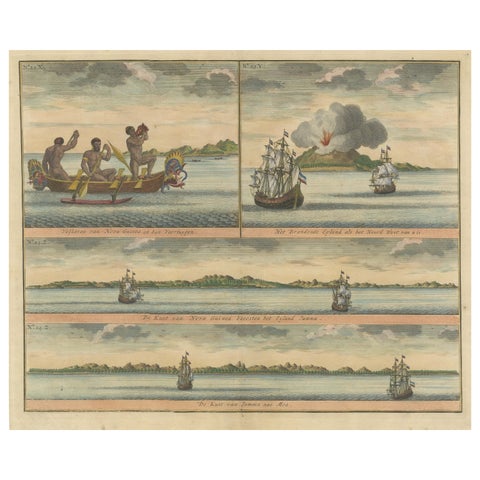
Towns and Landscapes · New Guinea
Colored Antique Print of New Guinea Fishermen and views of New Guinea
Date not stated · 39.5 × 33.5 cm$535
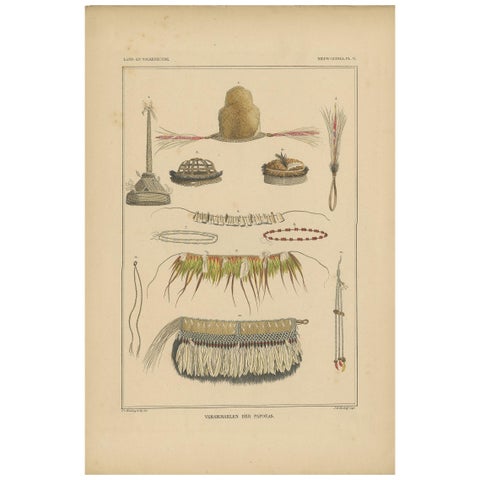
Peoples and Costume · New Guinea
Print with Papua Decoration 'New Guinea, Indonesia' by Temminck, circa 1840
1840 · 31 × 45 cm$505
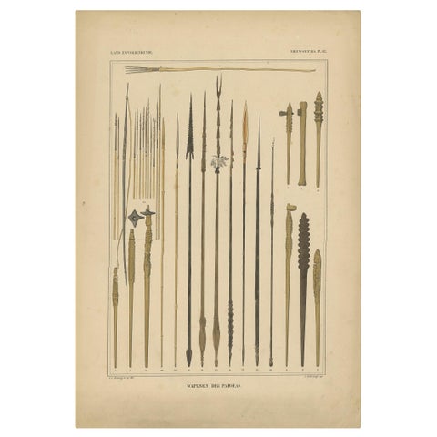
Peoples and Costume · New Guinea
Print with Weapons of Papua 'New Guinea, Indonesia' by Temminck, circa 1840
1840 · 31 × 45 cm$505
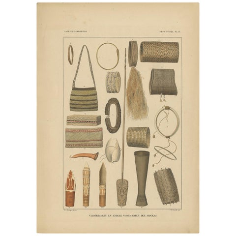
Peoples and Costume · New Guinea
Print with Items of Papua 'New Guinea, Indonesia' by Temminck, circa 1840
1840 · 31 × 45 cm$505
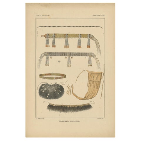
Peoples and Costume · New Guinea
Antique Print with Decorations 'New Guinea, Indonesia' by Temminck, circa 1840
1840 · 31 × 45 cm$505
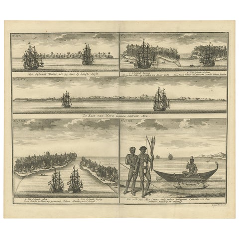
The Company · New Guinea
VOC Ships, Native People & Coastal Views of Islands near Papua New Guinea, 1726
1726 · 40 × 34 cm$490
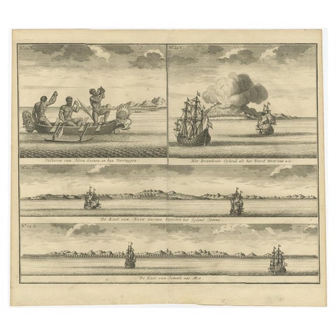
Towns and Landscapes · New Guinea
Old Print of VOC Ships & Native Fisherman and Coastal Views of New Guinea, 1726
1726 · 39 × 37 cm$490
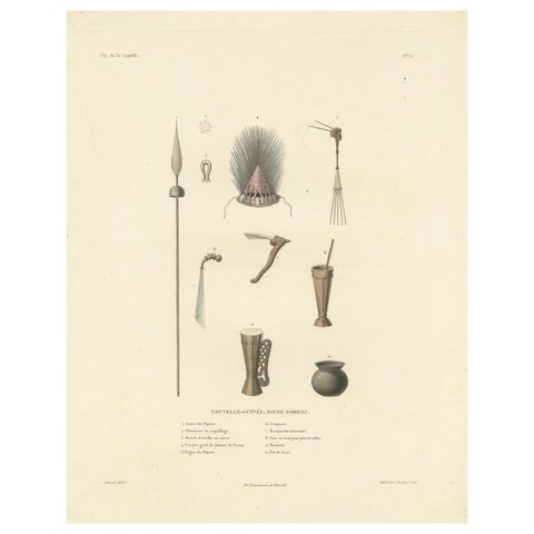
Peoples and Costume · New Guinea
Antique Print of Artifacts from the Haven of Doreri, New Guinea
Date not stated · 31.2 × 39.2 cm$490
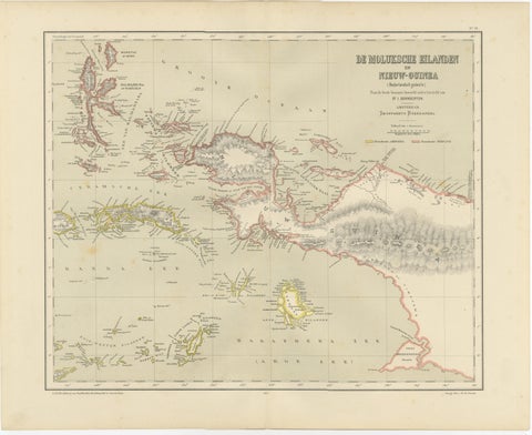
Maps and Sea Charts · Moluccas
Antique Colonial Dutch Map of the Moluccas & New Guinea by Dornseiffen, 1884
1884 · 48.5 × 39 cm$435
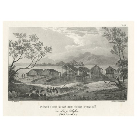
Towns and Landscapes · New Guinea
Original Lithograph with a Scene of a Village and Harbour in New Guinea, c.1836
1836 · 34 × 25 cm$405
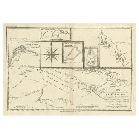
Maps and Sea Charts · New Guinea
Antique Detailed Map of Papua New Guinea and the Regions to the West, ca.1780
1780 · 38.7 × 29.1 cm$370
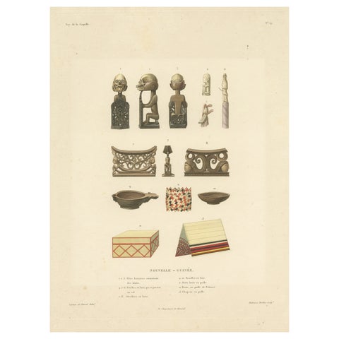
Peoples and Costume · New Guinea
Antique Print of Artifacts from New Guinea
Date not stated · 29.3 × 38.3 cm$360
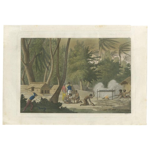
Peoples and Costume · New Guinea
Antique Print of Papuan Tombs on Rawak Island by Ferrario, '1831'
1831 · 34 × 24 cm$280
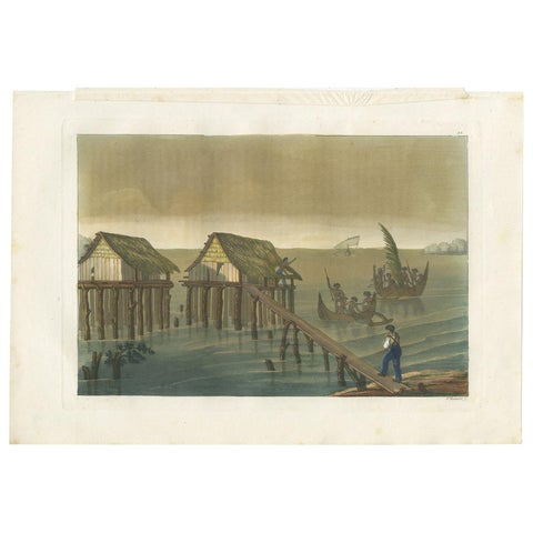
Peoples and Costume · New Guinea
Antique Print of Papuan Houses by Ferrario, '1831'
1831 · 34 × 24 cm$280
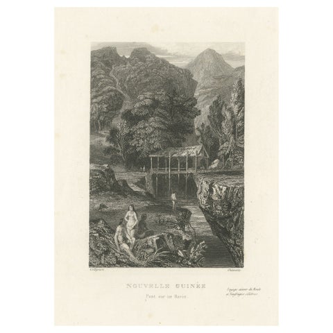
Towns and Landscapes · New Guinea
Antique Print of a Bridge over a Ravine in New Guinea
circa 1850 · 15.3 × 24.8 cm$270
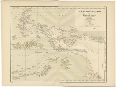
Maps and Sea Charts · Moluccas
Antique Map of the Moluccas and Irian Jaya (Papua), Indonesia, 1900
1900 · 52.2 × 38.9 cm$250
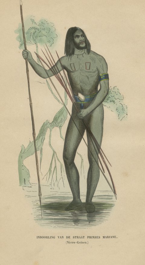
Peoples and Costume · New Guinea
New Guinea Islander of Prinses Marianne Strait, Hand-Colored Print, 1854
1854$205
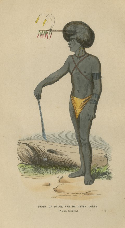
Peoples and Costume · New Guinea
Papuan Man of Dorey Harbor, New Guinea, Antique Hand-Colored Print, 1854
1854$205
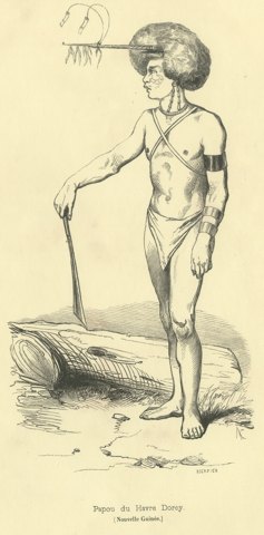
Peoples and Costume · New Guinea
Papuan of Dorey Harbour, Antique Wahlen Costume Print, 1843-1844
1843-1844$160
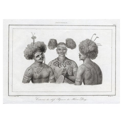
Peoples and Costume · New Guinea
Antique Print of Costumes of Papua Chiefs, 1836
1836 · 21 × 13 cm$155
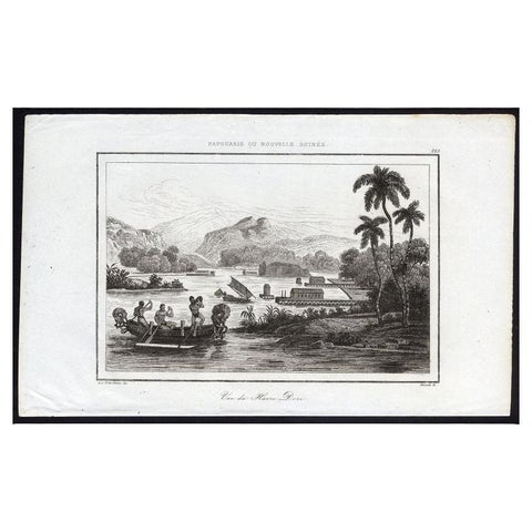
Towns and Landscapes · New Guinea
Antique Print of Dory Harbour, New Guinea, 1836
1836 · 21 × 13 cm$135
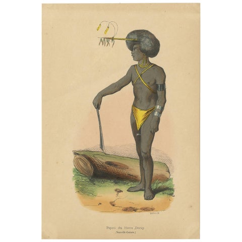
Peoples and Costume · New Guinea
Antique Costume Print of a Papua from Dorey Harbour by Wahlen, 1843
1843 · 13.5 × 20 cm$110
New Guinea in maps and prints
New Guinea appears on the maps of the 16th century as a shapeless land south of the Moluccas, still possibly part of a southern continent. The Dutch claimed its western half, and the voyages of Duperrey, Dumont d'Urville and the Dutch survey ships of the 19th century charted its harbors.
The prints show the Papuan people of Dorey Harbour, their houses built over the water, and their ornaments and weapons.
Other islands
Questions
Which part of New Guinea is in this collection?
Mostly the west, the former Dutch New Guinea that is now part of Indonesia. A few maps show the whole island and the islands to the east.