Framed and on the wall
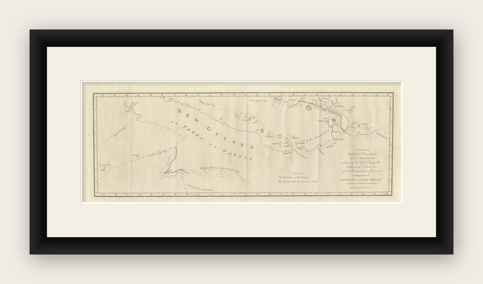
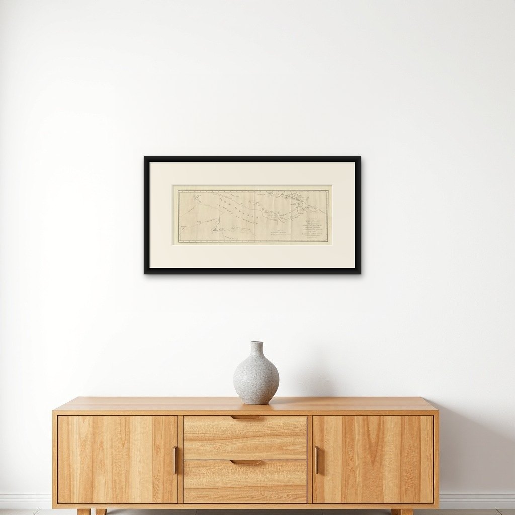
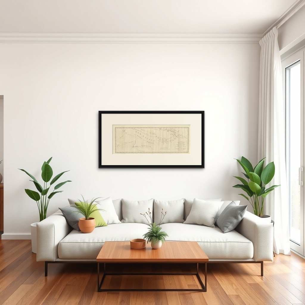
Frame and rooms are illustrations of how the print could look, drawn to its real size; it is sold unframed unless the description says otherwise.
Maps and Sea Charts
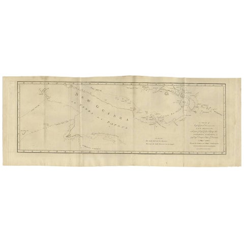
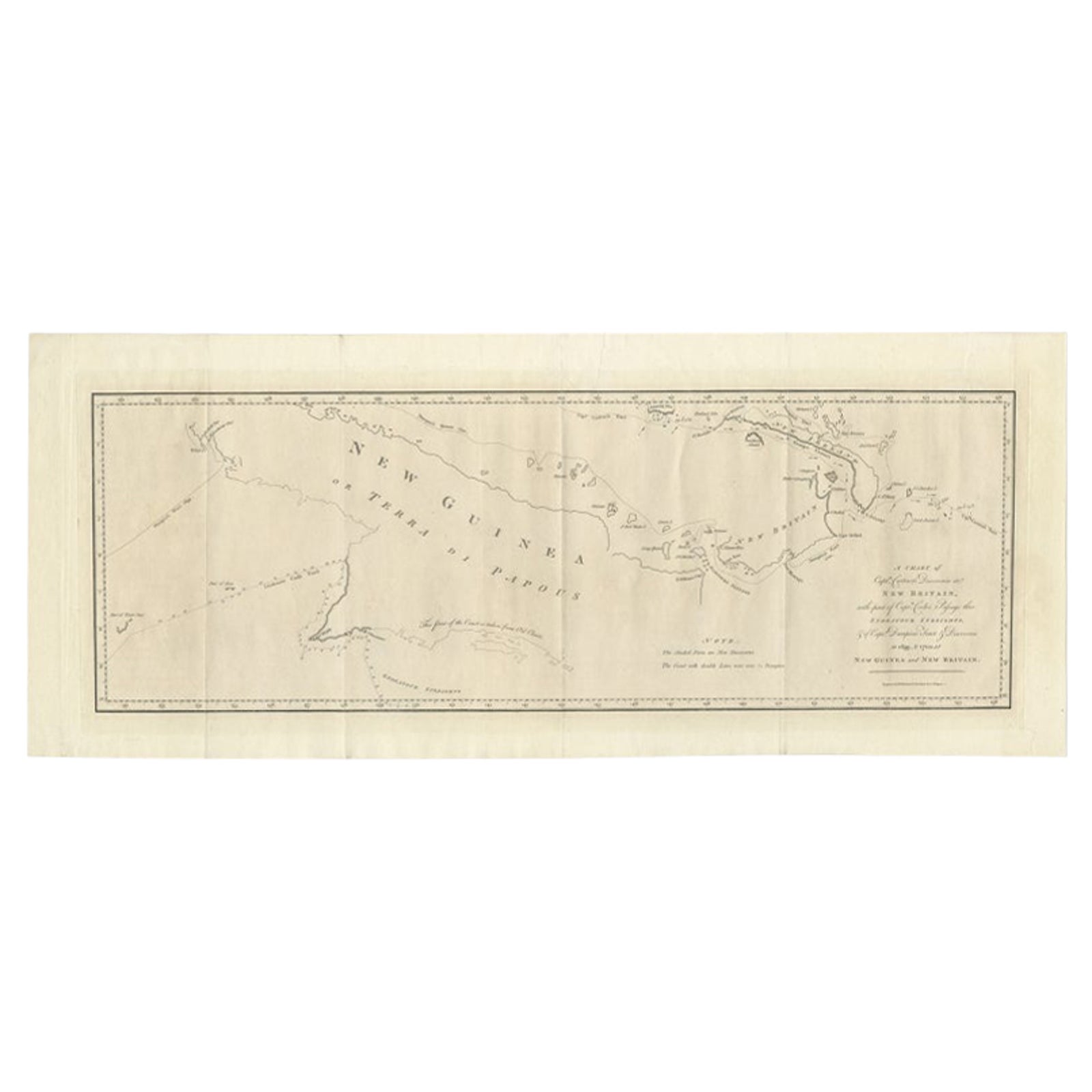
Large Antique Map of New Guinea and New Britain Showing Capt. Cooks Tract, 1773
New Guinea is now Papua.
£460
$615 · €550
Original print, not a reproduction
Ships worldwide from the Netherlands, insured and tracked. 14-day returns.
- Date
- 1773
- Sheet size
- 28 × 11.4 in (71 × 29 cm)
- Condition
- Good
- Island
- New Guinea
- Place names
- New Guinea is now Papua
- Collection
- Maps and Sea Charts
- Period
- The Company, 1700 to 1799
- Stock no.
- f_26373792
What the condition grades mean
- Excellent
- Bright and clean, with no faults worth mentioning.
- Very good
- Only light signs of age, such as faint toning.
- Good
- Normal signs of age for a sheet of this period: toning, some foxing, small marks or neat old repairs.
- Fair
- Clear faults such as staining, tears or repairs, priced to match.
Every fault we see is written in the condition note, and the whole sheet is shown uncropped in the photos.
Antique map titled 'A Chart of Captain Carteret's Discoveries at New Britain, with part of Captain Cooke's Passage thro Endeavor Streights, & of Captain Dampier's tract & discoveries in 1699 & 1700, at New Guinea and New Britain'.
This sea chart of Papua New Guinea shows the new discoveries of Captains Cook, Carteret, and Dampier along New Guinea, New Britain, and New Ireland. The chart details the path of Captain Cook's voyage along the southwestern coast of the island of New Guinea in today's Irian Jaya, Indonesia's easternmost province. Cook sailed between Australia and New Guinea and proved the existence of the Strait of Torres. The chart also details the explorations of Carteret and Dampier which focused on the northern portion of New Guinea and the nearby Pacific islands. Published in John Hawkesworth's 'An Account of the Voyages Undertaken by the Order of his Present Majesty for Making Discoveries in the Southern Hemisphere, and Successively Performed by Commodore Byron, Captain Wallis, Captain Carteret, and Captain Cook'. Artists and Engravers: Engraved by William Whitchurch.
Artist: Engraved by William Whitchurch.
Image size: 63 x 21.5 cm.
Explore