Original maps and prints, 1587 to 1972
The spice islands, as the Dutch first drew them
Original maps, sea charts and prints of Java, Sumatra, Borneo, Celebes, the Moluccas and New Guinea, from the first VOC voyages to the last years of the Netherlands Indies. Every sheet was printed in its own time. None is a reproduction.
Bartele Gallery in the Netherlands, whose specialty this is, holds each one, describes it and ships worldwide.
The cargo
Five collections.
By island
Then and now.
By period
Four ages of the colony. The date is the year the sheet was printed.
From the cabinet
The rarest sheets in the gallery.
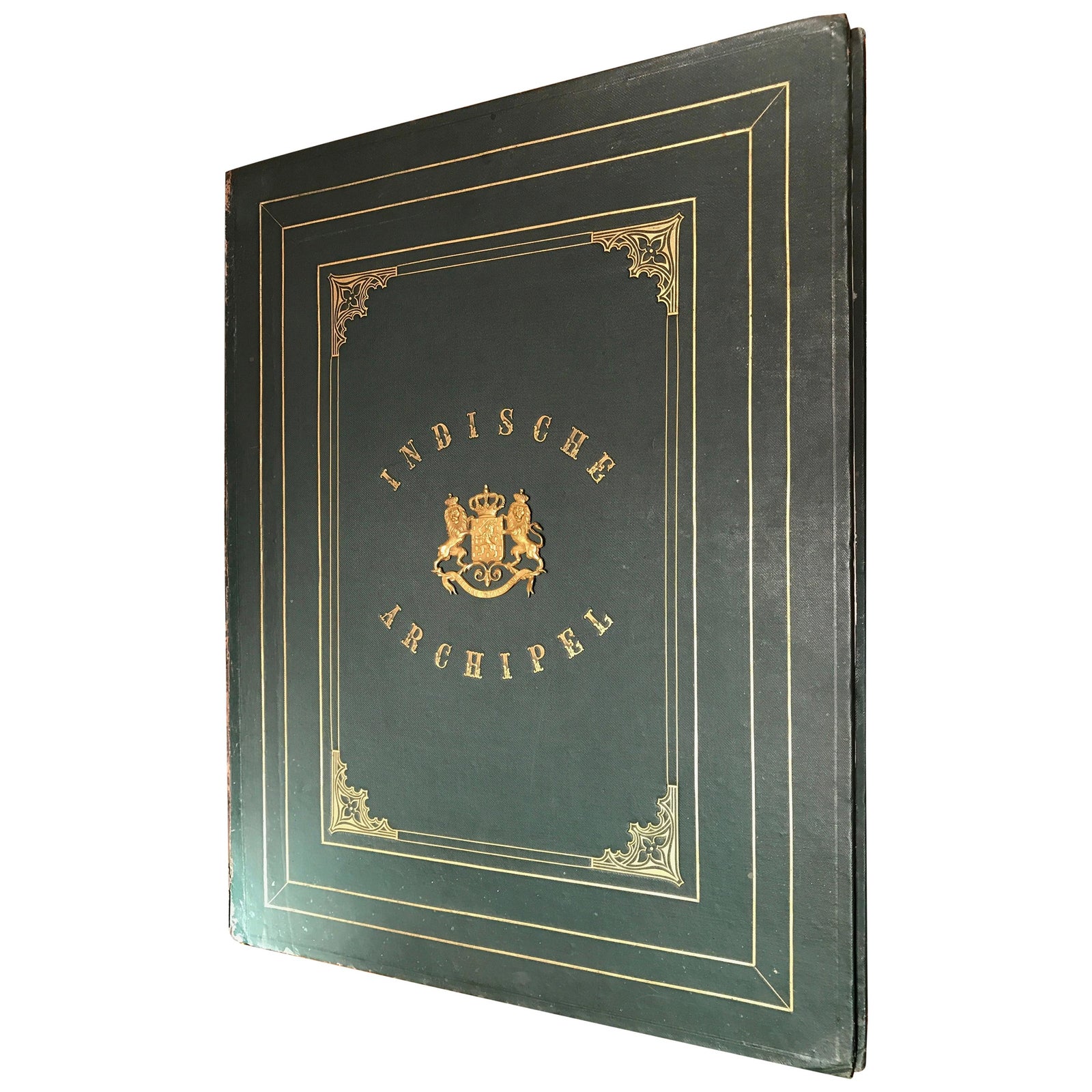 De Indische Archipel by C.W. Mieling, 1865-18761865 · $76,670
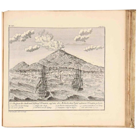 VOC Atlas of Africa and East Indies by J.W. Heydt, Homann Heirs, 17441744 · $15,000
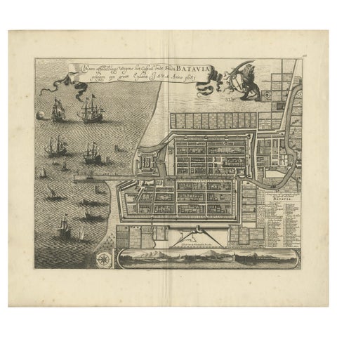 Rare 1681 Map of Batavia: Detailed Dutch Colonial Era Cartography, 16811681 · $6,605
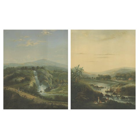 Java Landscapes, Rare Pair of Deluxe Folio Chromolithographs by Salm, 1865-721865 · $5,900
From every hold
1,015 sheets in stock, printed 1587 to 1972.
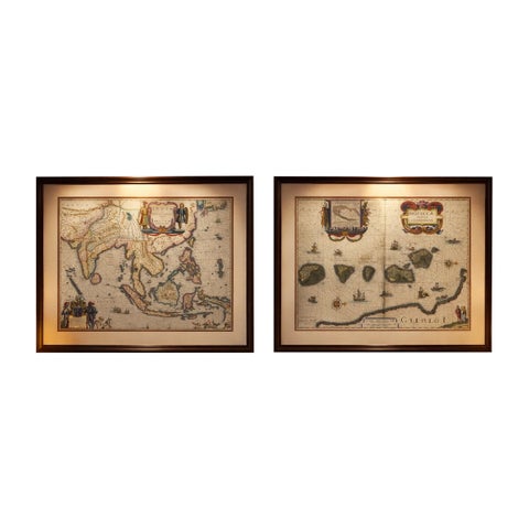
Maps and Sea Charts · Moluccas
Antique Blaeu Maps, Indonesia & Moluccas, VOC Era, c.1642
1642 · 59 × 50 cm$10,970
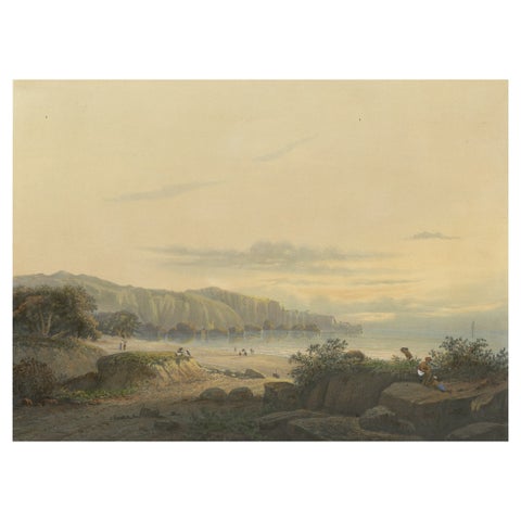
Towns and Landscapes · Java
Original Antique Chromolithograh of Srigonjo Bay, the South Coast of Java, 1872
1872 · 36 × 26.4 cm$3,080
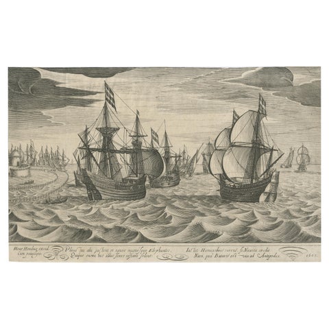
The Company
Antique Print of a Fleet of Nine Ships Departing to the East Indies '1603'
1603 · 34.5 × 22 cm$1,120
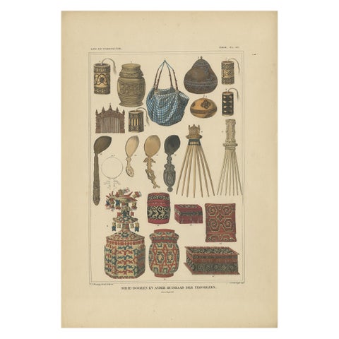
Peoples and Costume · Borneo
Set of 7 Decorative Antique Prints of Borneo, Timor and Papua Culture, ca. 1840
1840 · 31 × 45 cm$2,385
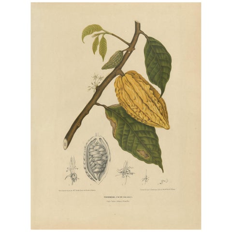
Flora and Fauna
Antique Botany Print of a White Cacao Tree by Van Nooten, circa 1875
1875 · 41.5 × 55 cm$1,680
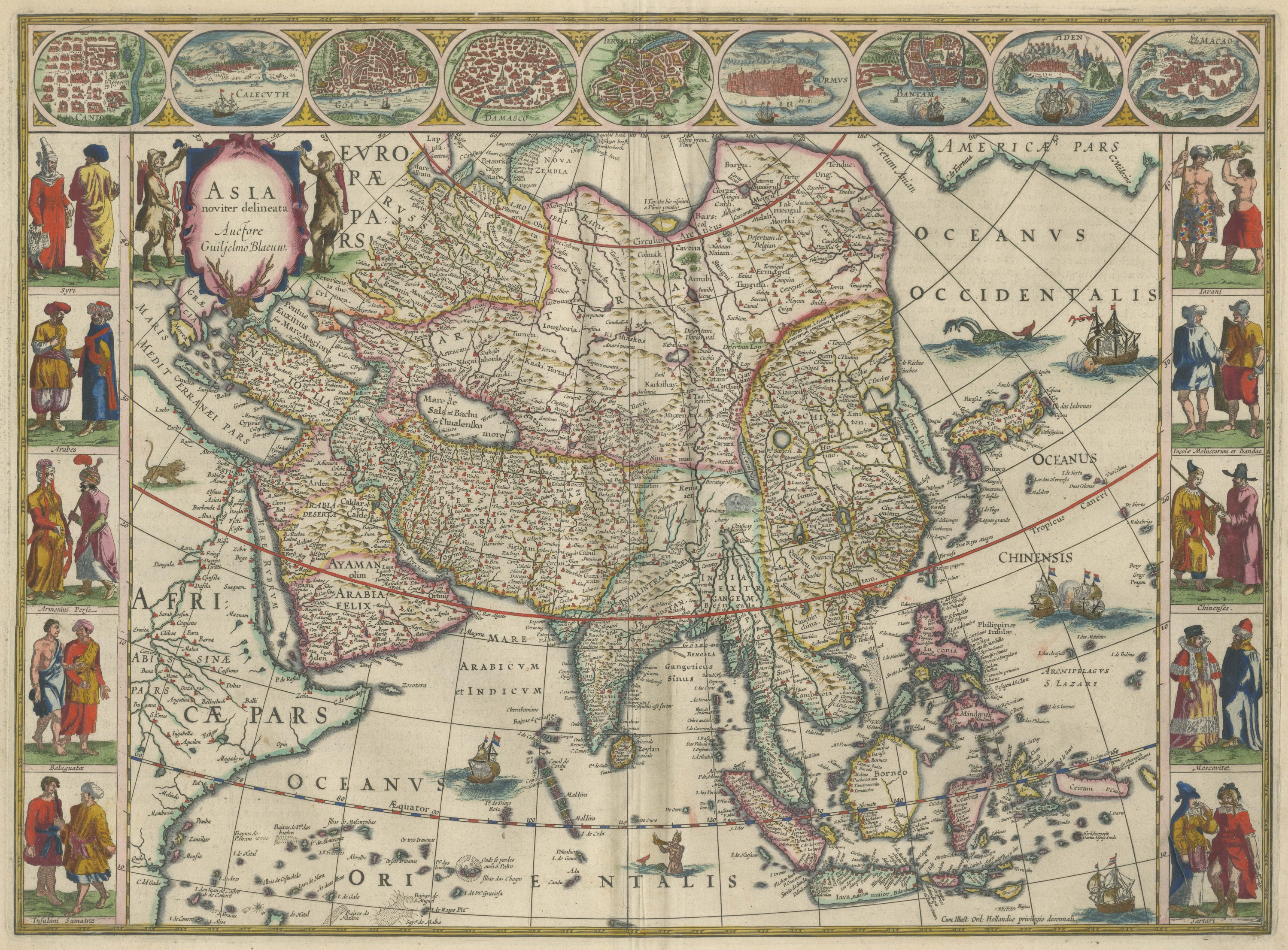
Maps and Sea Charts
Antique Blaeu Map of Asia, Arabia Felix and the East Indies, 1642
1642$8,395
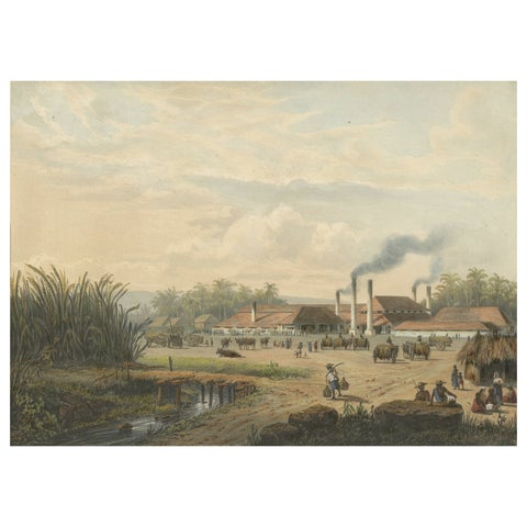
Towns and Landscapes · Java
Original Chromolithograph of a Sugar Factory in Java, Indonesia, 1872
1872 · 36 × 26.4 cm$3,080
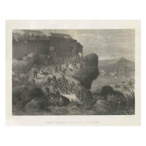
The Company · Borneo
Rare Old Lithograph of the Assault of a Fort in Borneo, Indonesia, ca.1850
1850 · 53 × 41 cm$1,065
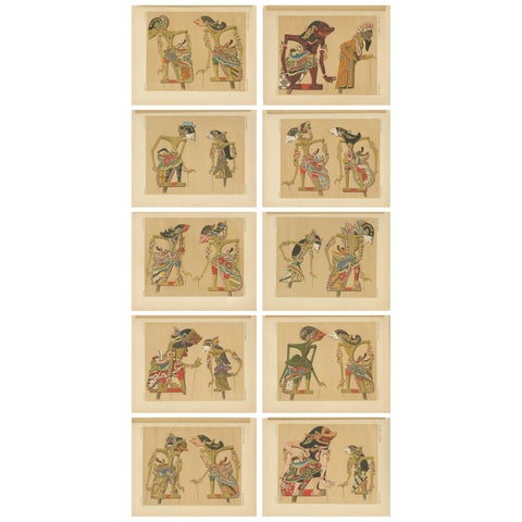
Peoples and Costume · Java
Set of 10 Antique Prints of Wayang Puppets by Juynboll, 1900
1900 · 32 × 25 cm$1,680
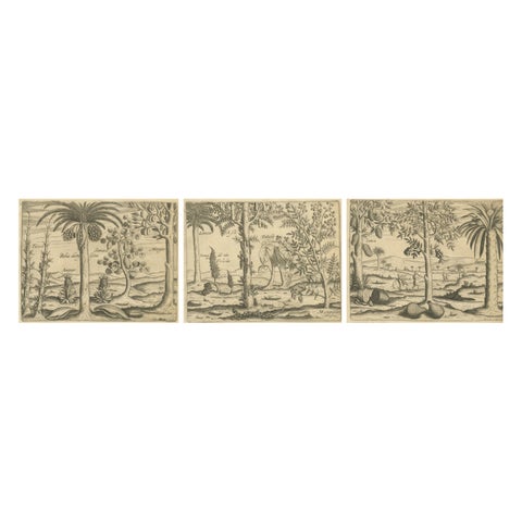
Flora and Fauna
De Bry Botanical Engravings, Pineapple, Mango & Pepper Plants, c.1598
1598 · 20 × 30.5 cm$1,610
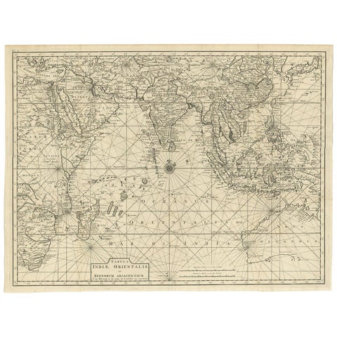
Maps and Sea Charts
Antique Map of South East Asia, Australia and the Indian Ocean, 1726
1726 · 69 × 52.5 cm$8,060
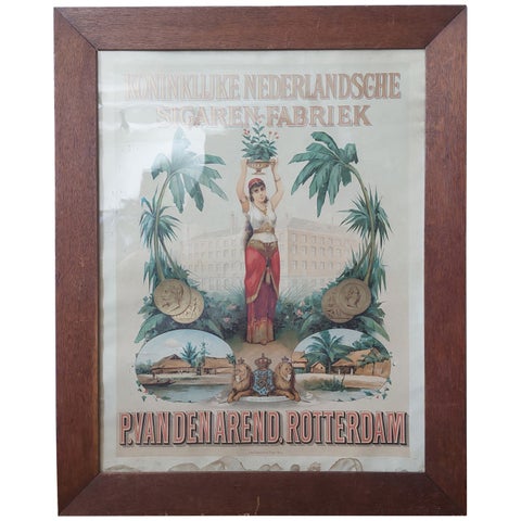
Towns and Landscapes
Antique Cigars Advertising Poster Koninklijke Nederlandsche Sigaren-Fabriek
circa 1900 · 60 × 75 cm$2,910
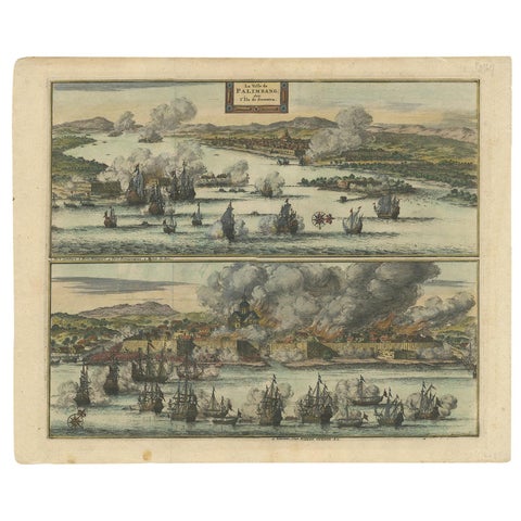
The Company · Sumatra
Antique Print of the Dutch VOC Bombing Palembang, Sumatra (Indonesia), ca.1700
1700 · 40 × 32.5 cm$1,065
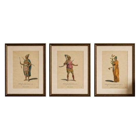
Peoples and Costume
Antique Costume Prints, East Indies Figures & Tribal Dress, 1749
1749 · 24.9 × 32.1 cm$1,510
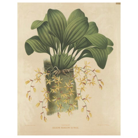
Flora and Fauna
Large Orchid Illustrations of the Dutch East Indies: A Botanical Heritage, 1854
1854 · 54 × 72 cm$1,565
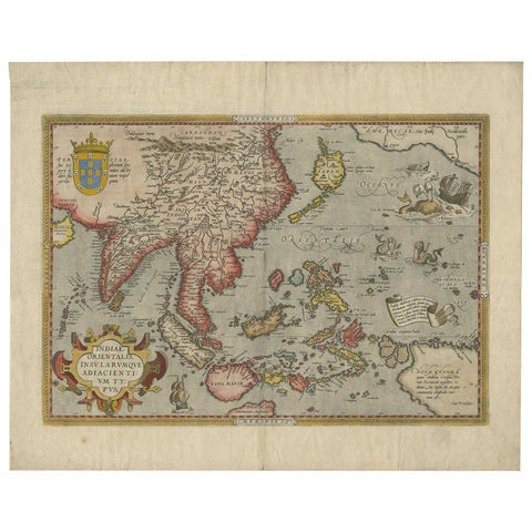
Maps and Sea Charts
Antique Ortelius Map of Asia Featuring Japan, China, Taiwan & East Indies, 1587
1587 · 49 × 35 cm$5,540
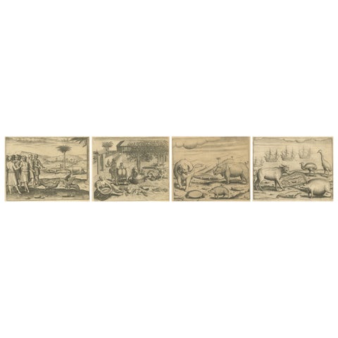
Towns and Landscapes
De Bry’s India and East Indies, Cockfights, Sacred Trees & Exotic Animals, 1598
1598 · 20 × 30.5 cm$2,225
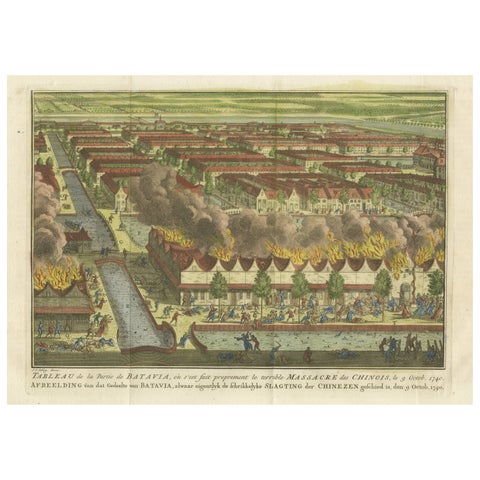
The Company · Java
Antique Print of the Batavia Massacre 'Present-Day Jakarta', Indonesia, ca.1740
1740 · 38 × 25 cm$1,020
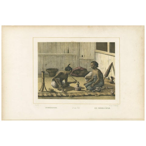
Peoples and Costume · Java
Antique Print of Javanese Locals Smoking Opium by Van Pers, circa 1850
1850 · 51.5 × 34.5 cm$1,345
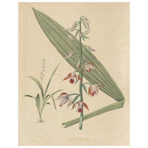
Flora and Fauna
Large Masterpiece of Botanical Illustration from the Dutch East Indies, 1854
1854 · 54 × 69.7 cm$1,565
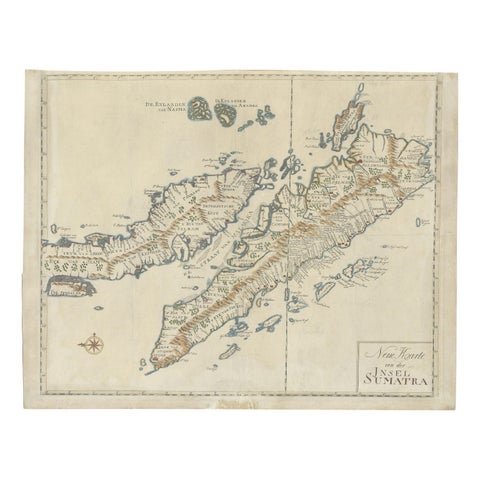
Maps and Sea Charts · Sumatra
Antique Map of Sumatra, Indonesia 'c.1780'
1780 · 63 × 49.5 cm$3,920
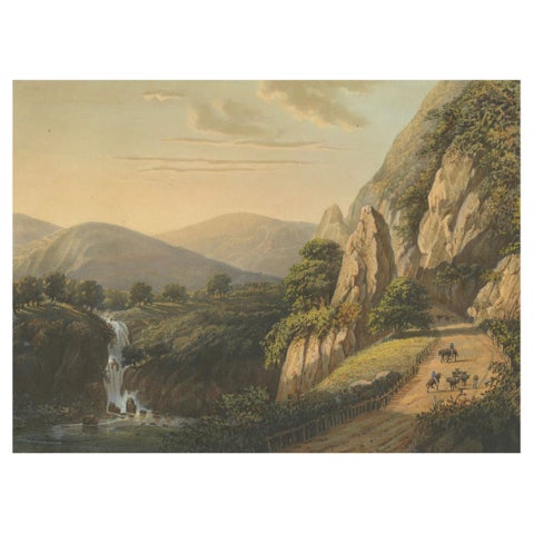
Towns and Landscapes · Java
Mountain Road and Waterfall in the Tengger Range, Java Lithograph, circa 1872
1872 · 37 × 26 cm$2,185
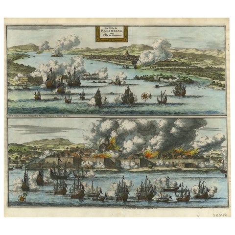
The Company · Sumatra
Decorative Engraving of VOC Battle Ships Attacking Palembang in Sumatra, ca.1700
1700 · 35.7 × 31.3 cm$995
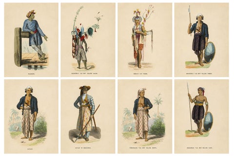
Peoples and Costume · Lesser Sunda
Antique Ethnographic Prints of Indonesia & Timor Islands, Set of 8, 1852
1852 · 17 × 26.3 cm$1,175
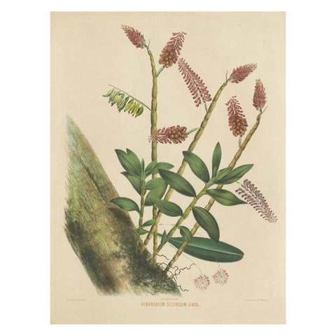
Flora and Fauna
Orchid Splendor: Big Chromolithographic Legacy from the Dutch East Indies, 1854
1854 · 54 × 72 cm$1,565
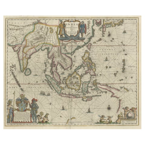
Maps and Sea Charts · New Guinea
Original Blaeu Map of Southeast Asia from India to Tibet and Japan to New Guinea
1635 · 60 × 49.5 cm$3,920
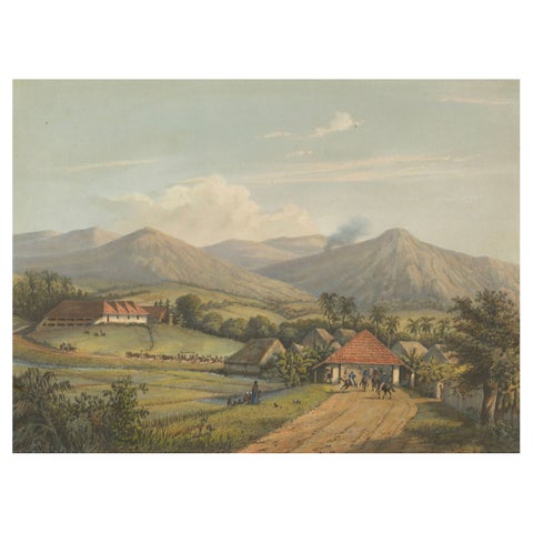
Towns and Landscapes · Java
Java’s Kawis Mountains and Tobacco Estate near Malang, Antique Lithograph, 1872
1872 · 37 × 26 cm$2,185
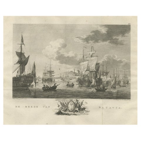
The Company · Java
Old Print of VOC Ships in the Sea Near Batavia (Jakarta, Indonesia), 1779
1779 · 38.5 × 33 cm$875
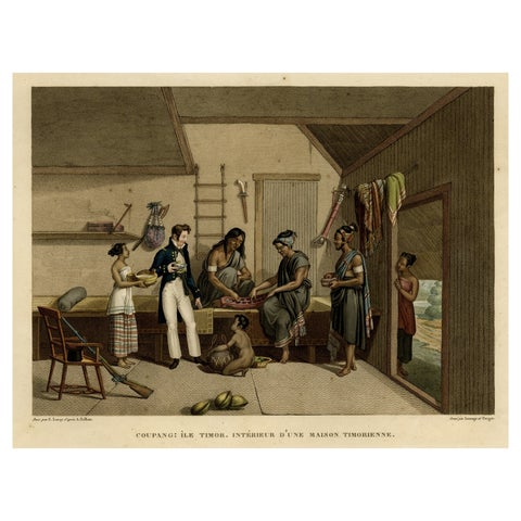
Peoples and Costume · Lesser Sunda
Interior with Native Timorese and an European in Kupang, Indonesia, 1825
1825 · 50 × 33.5 cm$1,075
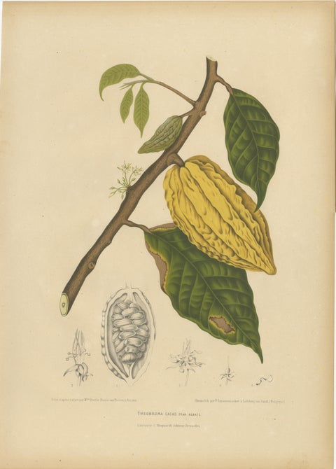
Flora and Fauna
Antique White Cacao Botanical Chromolithograph by Hoola van Nooten, c. 1880
1880 · 40 × 55.5 cm$1,555
Antique maps and prints of the Dutch East Indies
For three and a half centuries the islands that are now Indonesia were drawn, charted and pictured by Dutch mapmakers, engravers and travelers. Their maps and prints are the visual history of the Dutch East Indies: the spice race of the first voyages, the Company's Batavia, the colonial Java of the 19th century and the plantations of Sumatra.
Every sheet on this site is a period original, printed in its own time and held by Bartele Gallery in the Netherlands. The Dutch East Indies is the gallery's specialty, so the collection is unusually deep: Valentijn and Van der Aa, Blaeu and Janssonius, Hoola van Nooten, Salm, Temminck and Kleingrothe.
Explore
By maker, by place and by subject.
Makers and books
Places
Subjects
Good to know
Are these maps and prints originals?
Yes. Every sheet was printed in its own time, by woodcut, engraving, lithography, chromolithography or photogravure, for an atlas, a travel book or a series, and is sold as the original. Nothing on this site is a reproduction or a modern print.
Why do the titles use old place names?
Because the maps and prints do. Batavia is Jakarta, Celebes is Sulawesi, Amboina is Ambon, Macassar is Makassar. The search finds a print by either name, and each print's page gives the modern name.
Can I browse by island?
Yes. Every print is listed under the island group it shows: Java, Sumatra, Borneo, Celebes, the Moluccas, the Lesser Sunda Islands and New Guinea. A map of the whole archipelago is listed under the collection only. Click an island on the chart at the top of the home page.
How do you date a print?
By the book, atlas or series it comes from. The date shown is the year the sheet was printed. Where it is approximate, it says circa.
Where do the prints ship from?
From Bartele Gallery in the Netherlands, insured and tracked, to any country. Sheets travel flat between rigid boards or rolled in a tube, whichever protects them best.
Is Bartele Gallery a specialist in the Dutch East Indies?
Yes. The Dutch East Indies is the gallery's specialty: maps, sea charts, prints, books, school plates and wayang. This site shows the whole of that stock in one place.