Jacques-Nicolas Bellin
Maps and harbor plans by Jacques-Nicolas Bellin, hydrographer to the French navy, from the Histoire générale des voyages of the 1740s to 1760s.
9 sheets
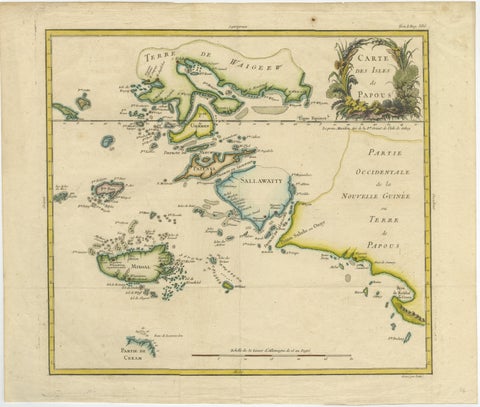
Maps and Sea Charts · New Guinea
Antique Map of Raja Ampat and New Guinea, Bellin, Papuan Islands c.1749
1749 · 44 × 36.5 cm$995
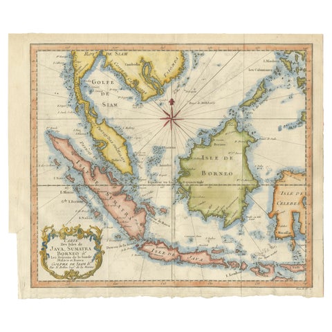
Maps and Sea Charts · Java
Java, Sumatra & Borneo Map, Bellin & van Schley Decorative Chart, 1750s
Date not stated · 32 × 26.5 cm$730
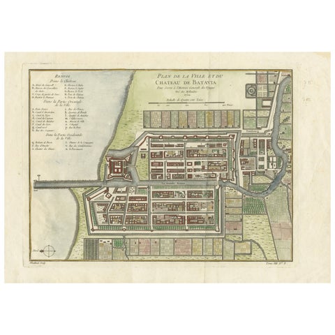
Maps and Sea Charts · Java
Hand-Colored 1750 Plan of Batavia, Colonial Jakarta, Indonesia by Jacques Bellin
1750 · 37.5 × 26.7 cm$715
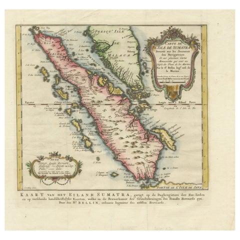
Maps and Sea Charts · Sumatra
Rare 1770 Bellin Map of Sumatra with Stunning Decorative Cartouches
1770 · 34.5 × 33.2 cm$615
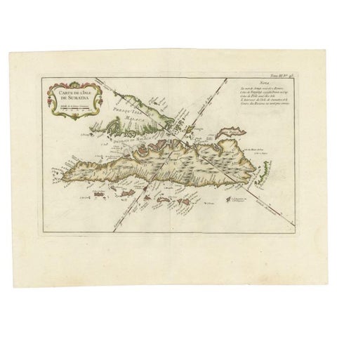
Maps and Sea Charts · Sumatra
Antique Map of Sumatra by Bellin, 1764
1764 · 43.5 × 32.5 cm$545
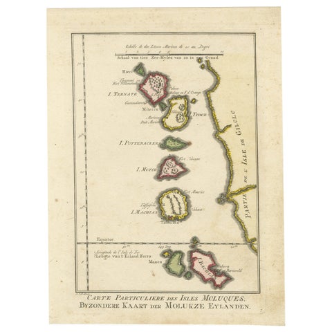
Maps and Sea Charts · Moluccas
Old Map of the Spice Islands, Moluccas by Bellin, Published in 1771
1771 · 19.6 × 26.3 cm$225
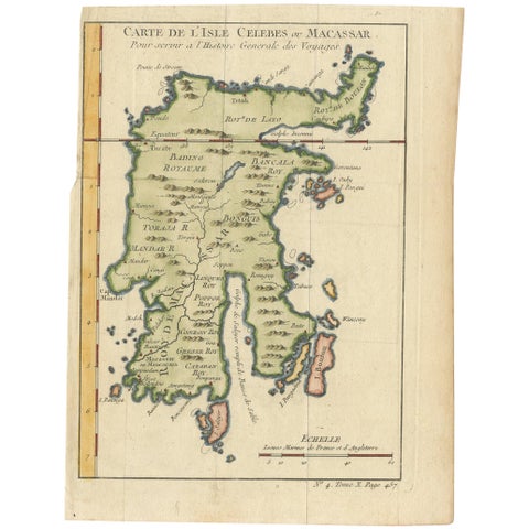
Maps and Sea Charts · Celebes
Antique Map of Celebes 'Sulawesi, Indonesia' by Bellin, ciarca 1755
1755 · 17.7 × 23.5 cm$170
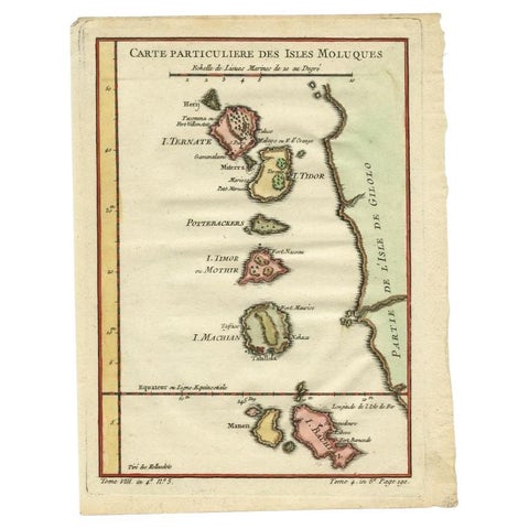
Maps and Sea Charts · Moluccas
Antique Map of the Maluku Islands by Bellin, c.1750
1750 · 18.5 × 24.5 cm$140
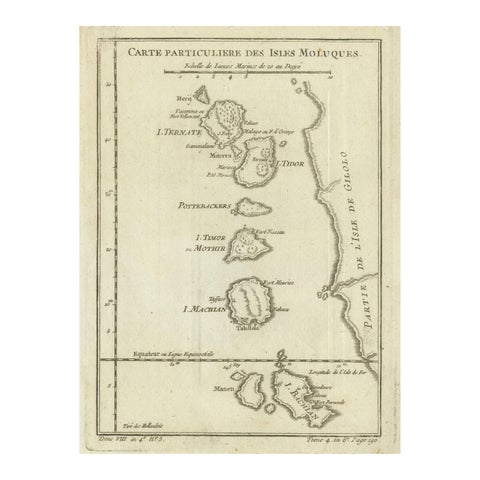
Maps and Sea Charts · Moluccas
Antique Map of the Moluccas (Maluku Islands), Indonesia, Bellin, 18th Century
Date not stated · 17.9 × 24.6 cm$125
More to explore
Makers and books
François Valentijn 76Perelaer's Java (1888) 87Pieter van der Aa 17Blaeu and Janssonius 8Henri Chatelain 7Berthe Hoola van Nooten 25Kleingrothe's Sumatra 33Temminck's Verhandelingen 16Wahlen's costume atlas 17Van Pers's Java scenes 9Abraham Salm's Java (1872) 18Dornseiffen's atlas 9Stemler's detail maps 11Van den Bosch (1818) 6Vandermaelen (1827) 8Mannevillette's Neptune Oriental 4De Bry's India Orientalis 9Ferrario's costume atlas 13Berghaus (1855) 5Jacob van der Schley 6Hurter's Java (c.1830) 4