Blaeu and Janssonius
The Amsterdam atlases of the golden age: Willem and Joan Blaeu and their rivals Hondius and Janssonius, whose maps of the Moluccas, Java and the East Indies of the 1630s to 1660s set the image of the archipelago for a century.
8 sheets
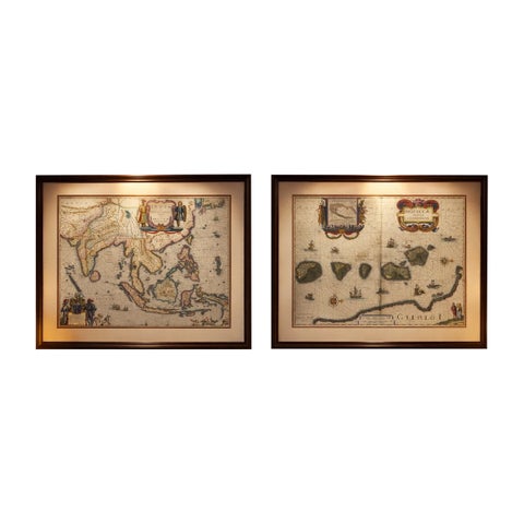
Maps and Sea Charts · Moluccas
Antique Blaeu Maps, Indonesia & Moluccas, VOC Era, c.1642
1642 · 59 × 50 cm$10,970
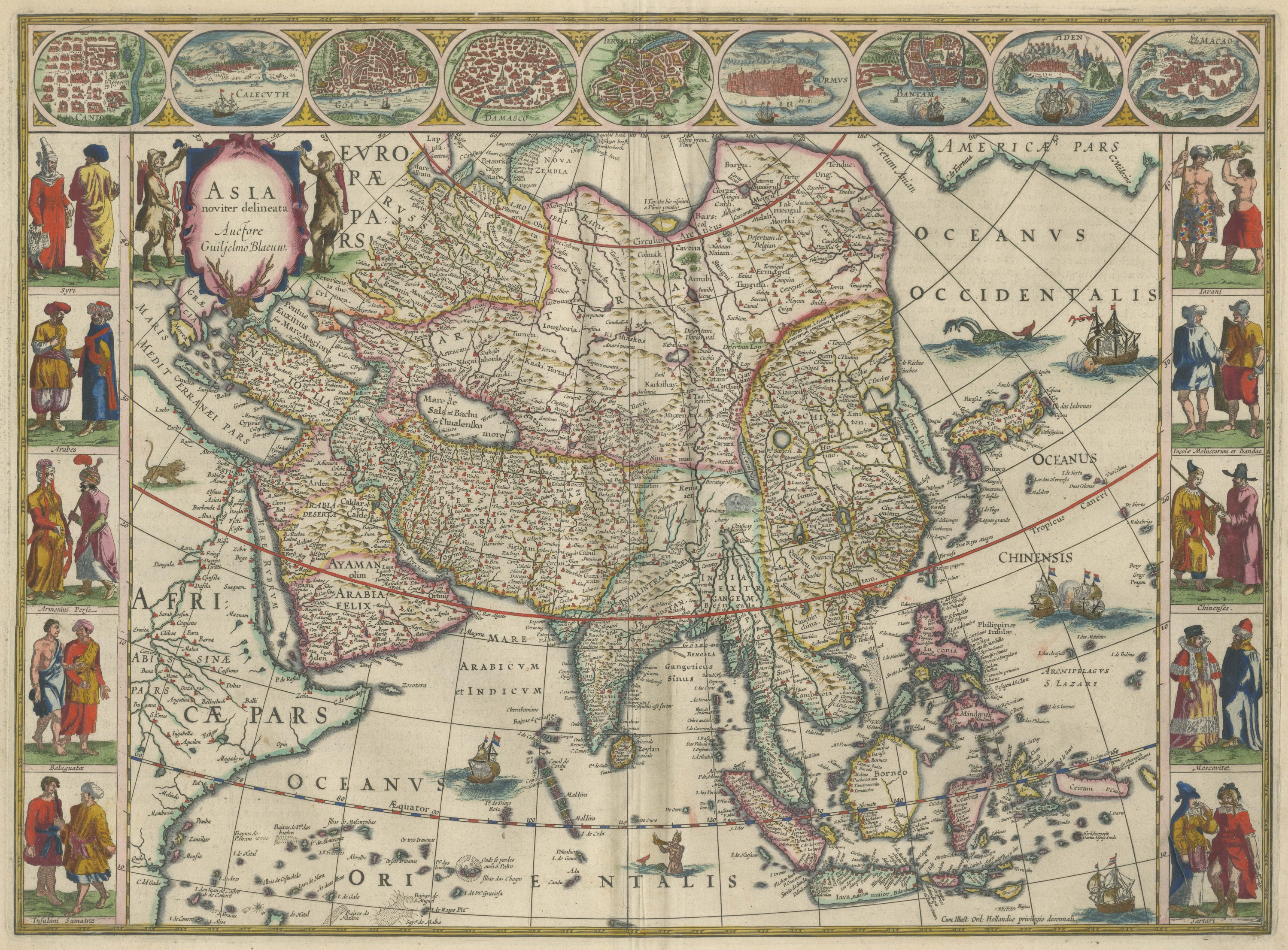
Maps and Sea Charts
Antique Blaeu Map of Asia, Arabia Felix and the East Indies, 1642
1642$8,395
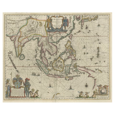
Maps and Sea Charts · New Guinea
Original Blaeu Map of Southeast Asia from India to Tibet and Japan to New Guinea
1635 · 60 × 49.5 cm$3,920
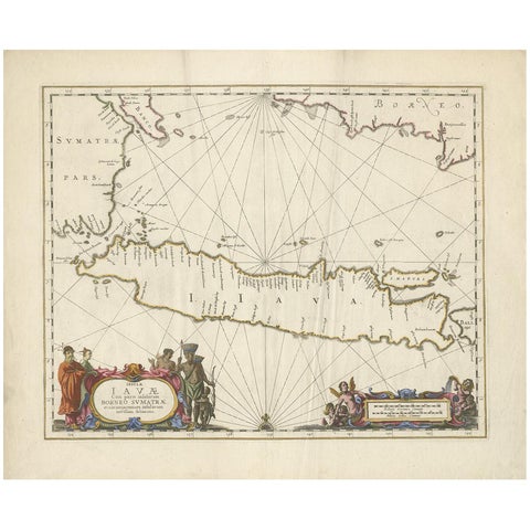
Maps and Sea Charts · Java
Antique Map of Java by Janssonius, circa 1650
1650 · 62 × 51.5 cm$3,300
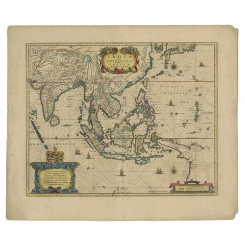
Maps and Sea Charts
Original Antique Map of the East Indies (Indonesia) by Janssonius, c.1644
1644 · 59.5 × 47 cm$2,800
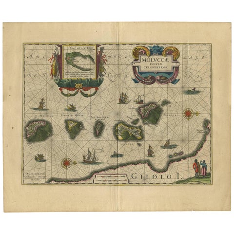
Maps and Sea Charts · Moluccas
Antique Map of the Spice Islands 'Moluccas', Indonesia by W. Blaeu, circa 1640
1640 · 58.5 × 50 cm$1,565
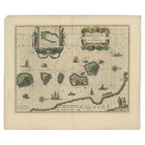
Maps and Sea Charts · Moluccas
Antique Map of the Maluku Islands by Blaeu, c.1640
1640 · 57.5 × 29 cm$1,310
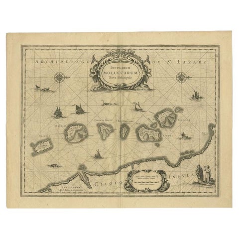
Maps and Sea Charts · Moluccas
Antique Map of the Moluccas in Indonesia by Janssonius, C.1650
1650 · 56.5 × 44.3 cm$540
More to explore
Makers and books
François Valentijn 76Perelaer's Java (1888) 87Pieter van der Aa 17Jacques-Nicolas Bellin 9Henri Chatelain 7Berthe Hoola van Nooten 25Kleingrothe's Sumatra 33Temminck's Verhandelingen 16Wahlen's costume atlas 17Van Pers's Java scenes 9Abraham Salm's Java (1872) 18Dornseiffen's atlas 9Stemler's detail maps 11Van den Bosch (1818) 6Vandermaelen (1827) 8Mannevillette's Neptune Oriental 4De Bry's India Orientalis 9Ferrario's costume atlas 13Berghaus (1855) 5Jacob van der Schley 6Hurter's Java (c.1830) 4