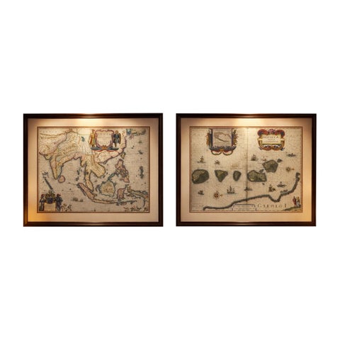
Framed and on the wall
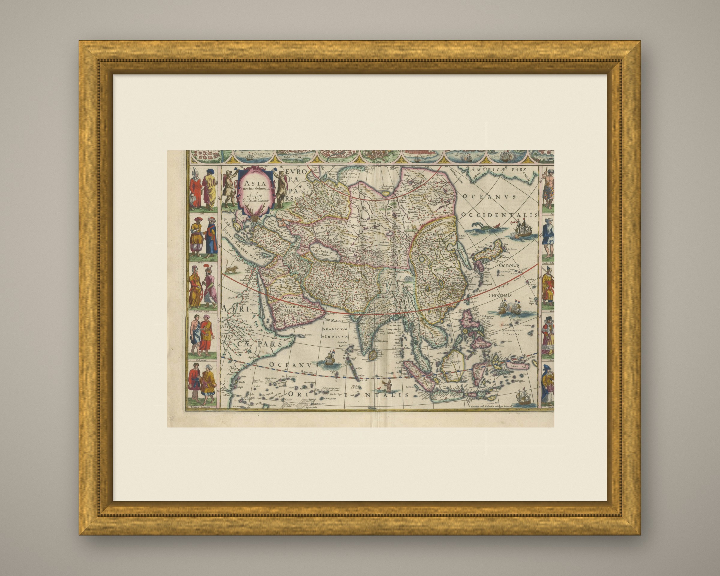
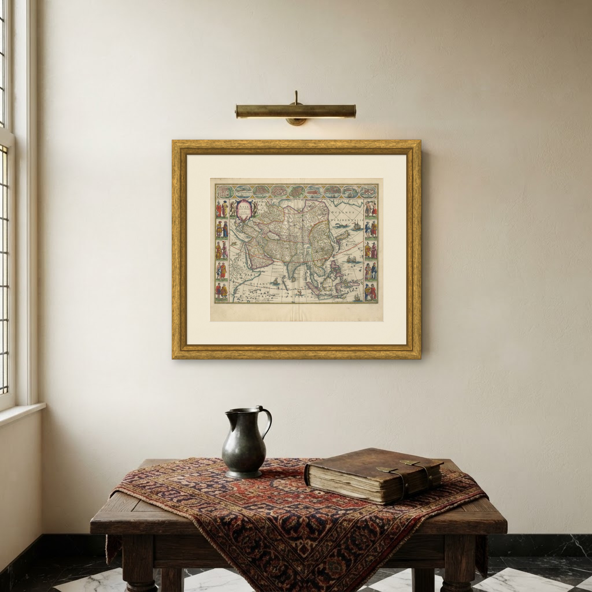
Frame and rooms are illustrations of how the print could look, drawn to its real size; it is sold unframed unless the description says otherwise.
Maps and Sea Charts
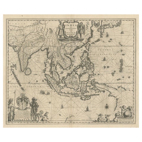
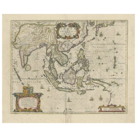
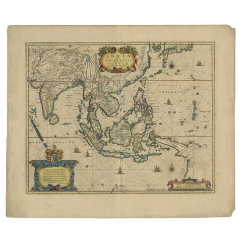
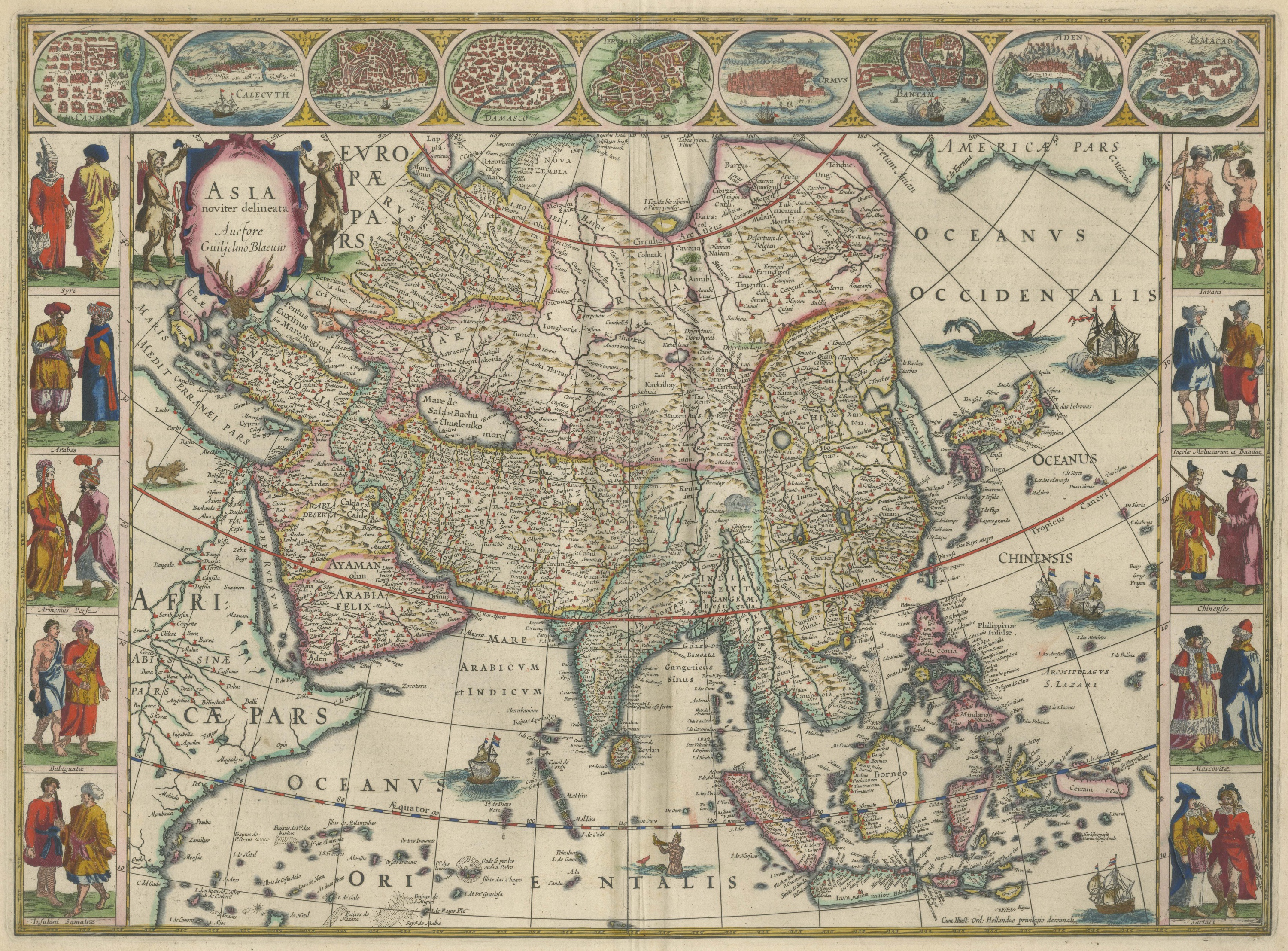
Antique Blaeu Map of Asia, Arabia Felix and the East Indies, 1642
$8,395
€7,500 · £6,280
Original print, not a reproduction
Ships worldwide from the Netherlands, insured and tracked. 14-day returns.
- Date
- 1642
- Technique
- Copper Engraving
- Coloring
- Later hand color
- Condition
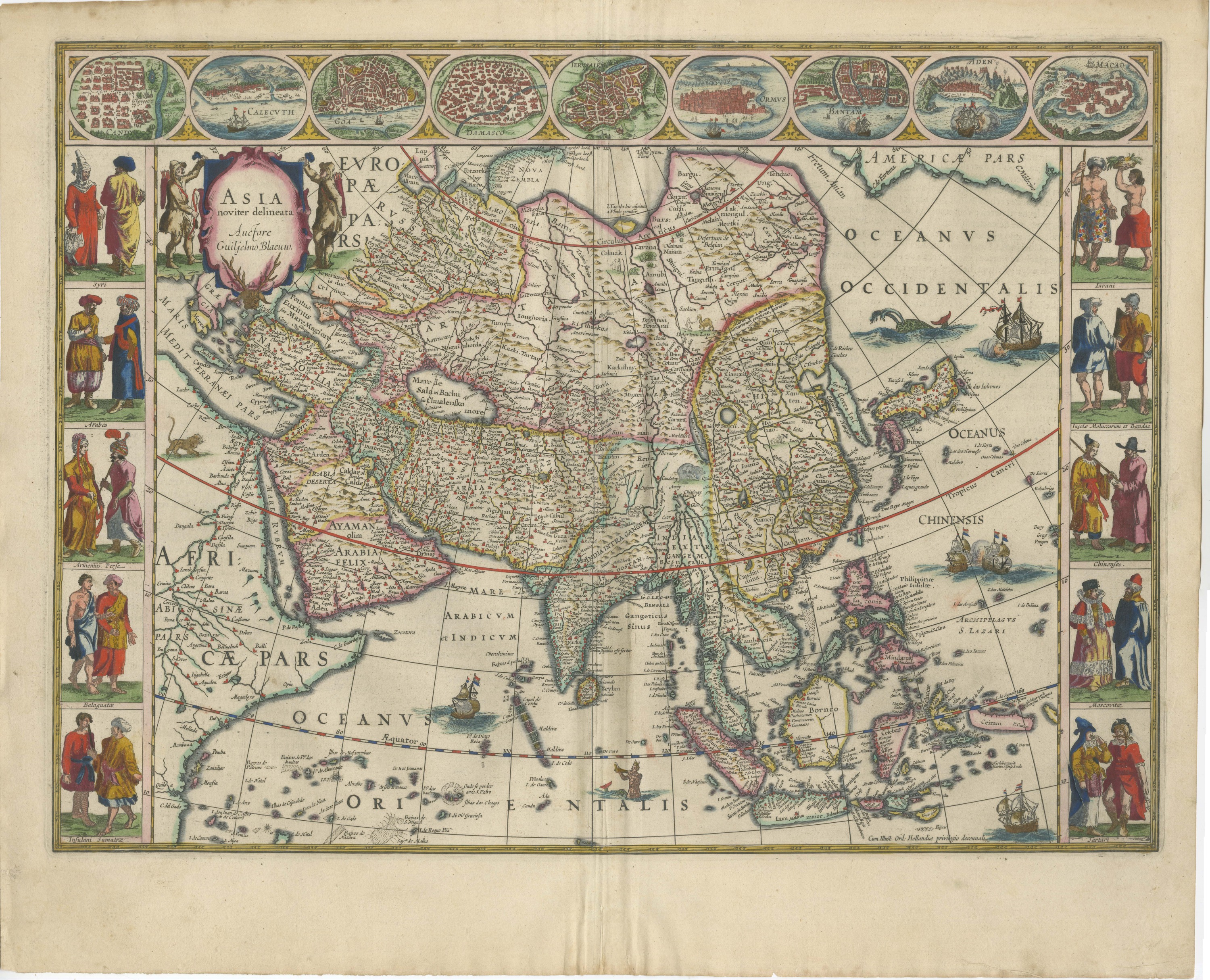
- Good. Good condition for its age. Toning and soiling to the margins, heavier at the upper left; edges uneven with small nicks, clear of the image. Centre fold as issued. Please review the images for further condition details.
- Collection
- Maps and Sea Charts
- Period
- The spice race, before 1700
- Stock no.
- HP-068
What the condition grades mean
- Excellent
- Bright and clean, with no faults worth mentioning.
- Very good
- Only light signs of age, such as faint toning.
- Good
- Normal signs of age for a sheet of this period: toning, some foxing, small marks or neat old repairs.
- Fair
- Clear faults such as staining, tears or repairs, priced to match.
Every fault we see is written in the condition note, and the whole sheet is shown uncropped in the photos.
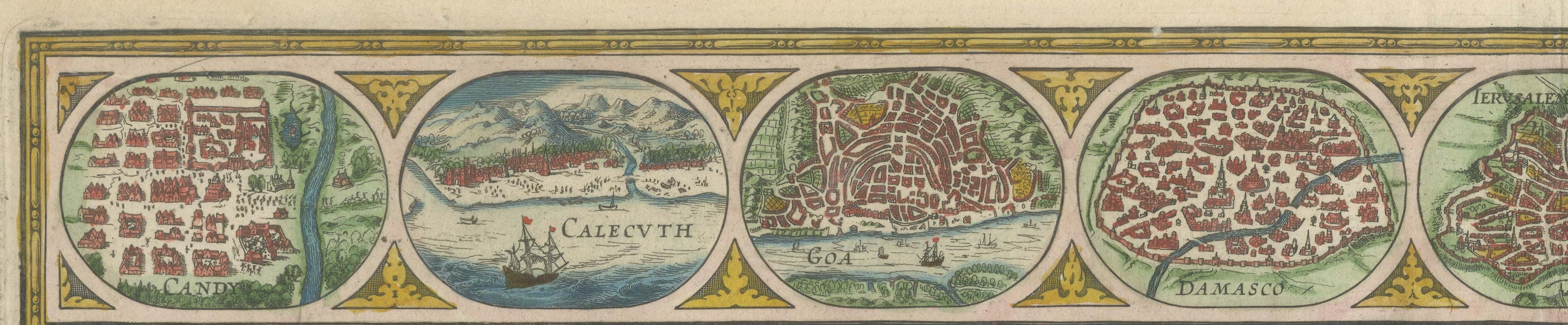
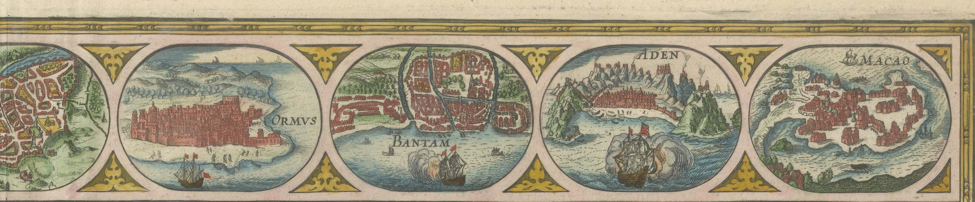
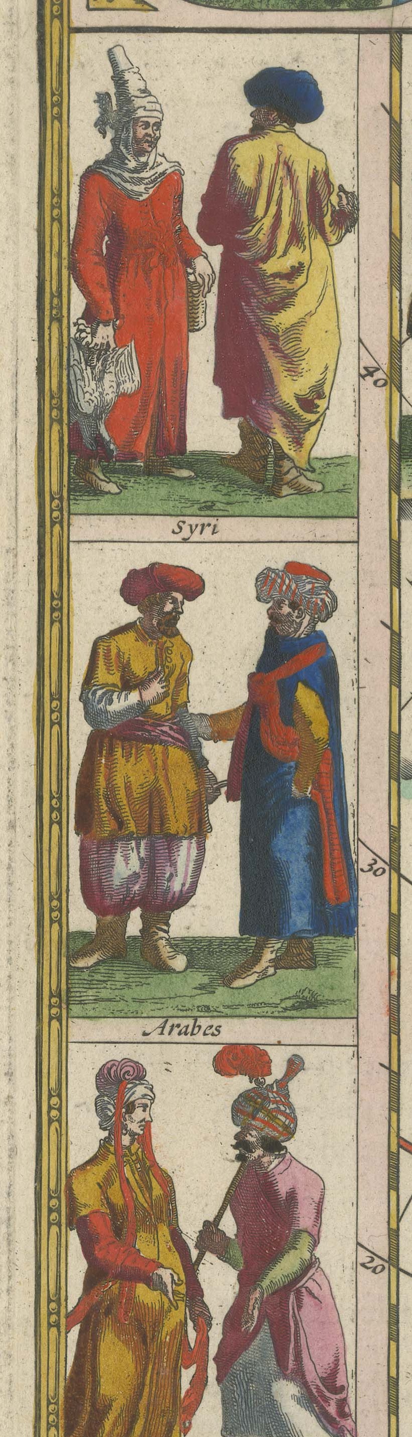
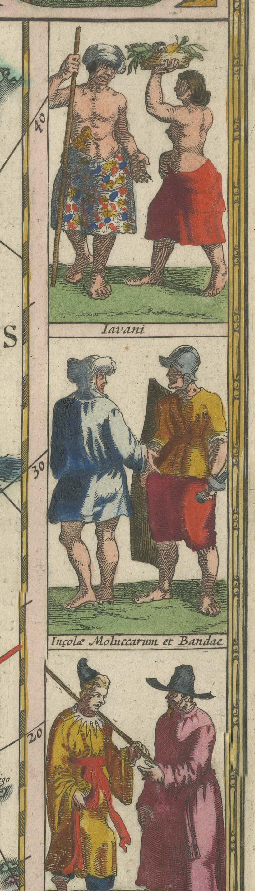
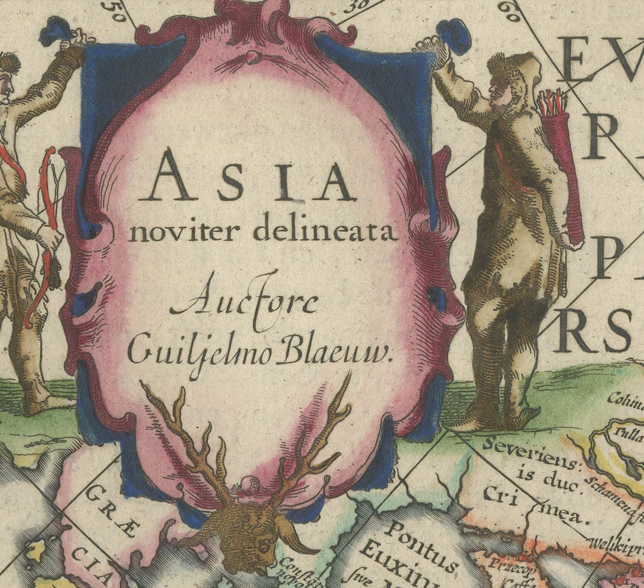
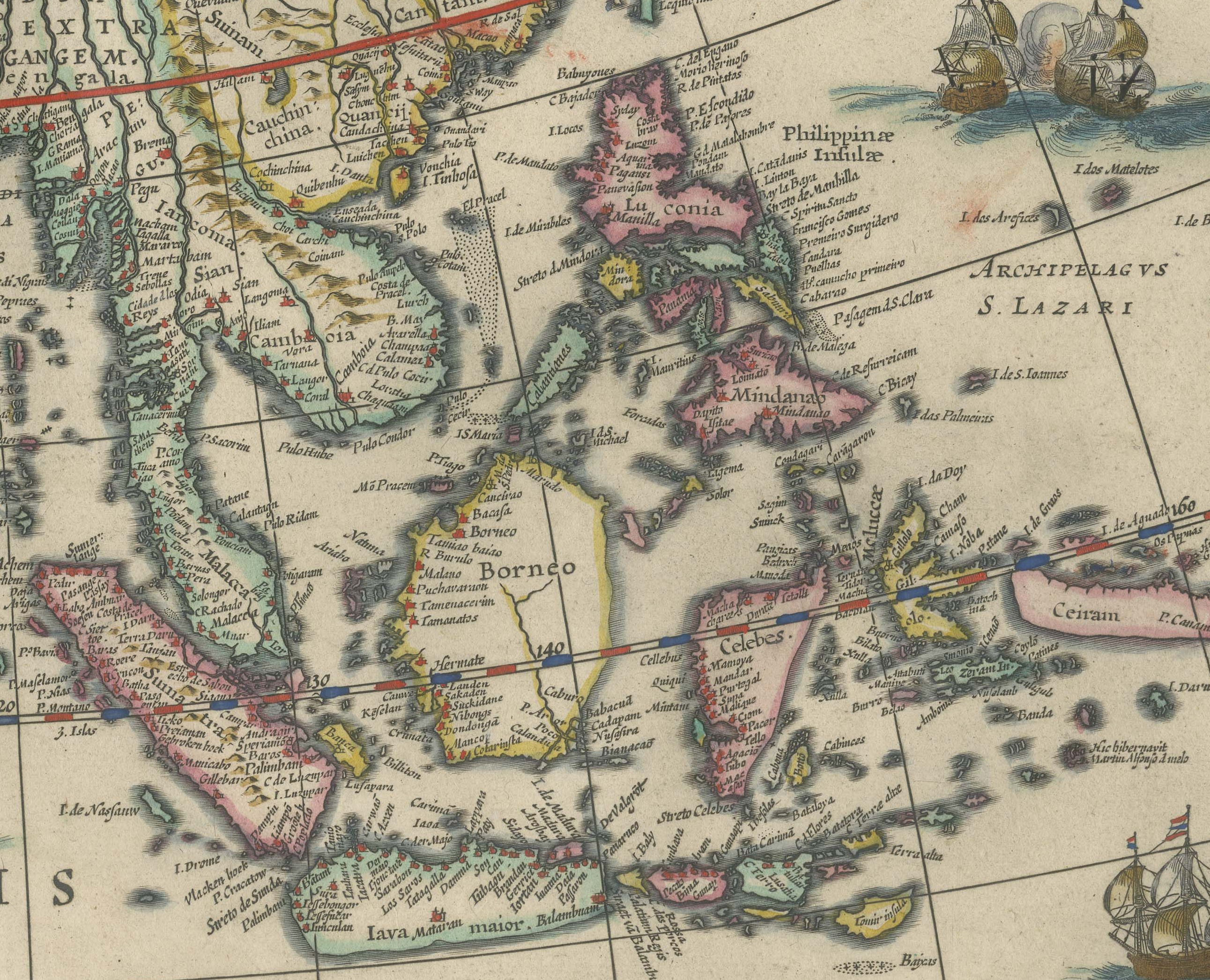
Blaeu's map of Asia, titled on the plate Asia noviter delineata, auctore Guilielmo Blaeuw. The map runs from the eastern Mediterranean and Arabia across Persia and India to China, the East Indies and the Pacific, with Europa and Africa lettered at the edges and America pars at the right hand side. Arabia Deserta and Arabia Felix, the Sinus Gangeticus, the Oceanus Indicus, Calicut, Bantam, Borneo and Macao are all named, and Arabic script appears on the plate in the Blaeu manner. This is the map of the trade the Dutch Republic lived on, published by the house that served as cartographer to the East India Company, and it is among the most collected of all seventeenth century maps of Asia. A major sheet, and the one most likely to find an international buyer quickly.
The Blaeu house of Amsterdam was the greatest cartographic publisher of the Dutch golden age. Willem Jansz Blaeu began the atlas that his son Joan Blaeu carried to its full extent, and the Dutch text edition, Toonneel des Aerdriicx ofte Nieuwe Atlas, set a standard for engraving, paper and typography that no rival in Europe matched. The copper plates were cut with great delicacy, the title cartouches were designed as ornaments in their own right, and the sheets were printed on heavy laid paper that has survived three and a half centuries remarkably well.
Blaeu maps have been collected continuously since the seventeenth century and are the benchmark against which other Dutch cartography is measured, so a sheet from this atlas is a serious piece of the history of the book as well as a map. A large Blaeu plate is one of the few antique maps that can carry a wall on its own.
The sheet is in good condition for its age, with toning and soiling to the margins, heavier at the upper left, and uneven edges; the center fold is as issued and the image is clean.
This is an original antique map, not a modern reproduction. This item is sold unframed.