By island · Sulawesi
Celebes
Celebes (Sulawesi) with Makassar and Fort Rotterdam, Manado and Tondano in the north, and the Sangihe islands.
55 sheets
Maps and Sea Charts · Celebes
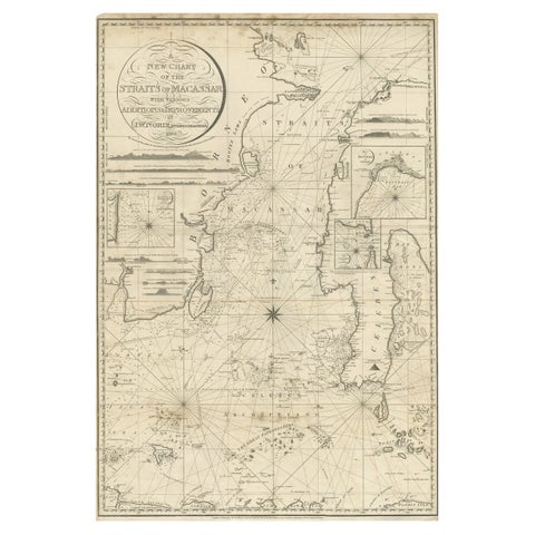
Antique Map of Straits of Makassar by J.W. Norie, Engraved Chart, 1820
1820 · 66 × 96 cm$3,080
Maps and Sea Charts · Borneo
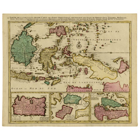
Old Map of Indonesian Islands Borneo, Celebes, New Guinea & New Britain, 1792
1792 · 66 × 55.3 cm$1,625
Maps and Sea Charts · Borneo
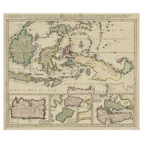
Old Map of the East Indonesian Islands Borneo, Celebes, New Guinea, Bali, 1792
1792 · 64.5 × 55 cm$1,400
Maps and Sea Charts · Java
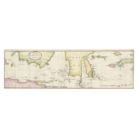
Rare Chart of Indonesia Including Borneo, Java, Celebes, Ceram and More, 1779
1779 · 74.5 × 23 cm$995

Maps and Sea Charts · Java
Rare Small Map of Sumatra, Java, Borneo, Macassar, Madura, Bali, 1614
1614 · 24 × 18 cm$840
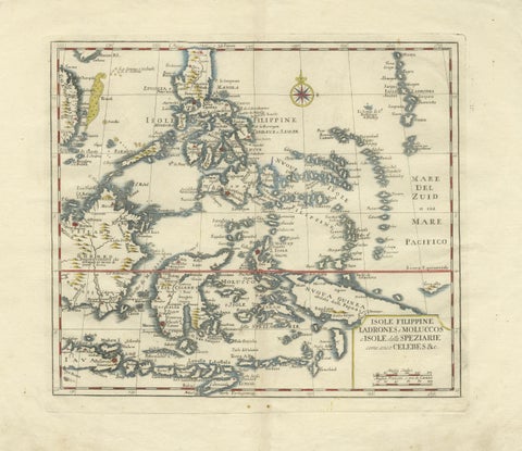
Maps and Sea Charts · Celebes
Antique Map Philippines, Moluccas, Celebes, Spice Islands, Tirion, c.1738
1738 · 48.7 × 37.6 cm$770
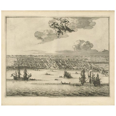
Towns and Landscapes · Celebes
Antique Print of Makassar 'South Sulawesi, Indonesia' by P. van der Aa
circa 1725 · 39.7 × 32.7 cm$745
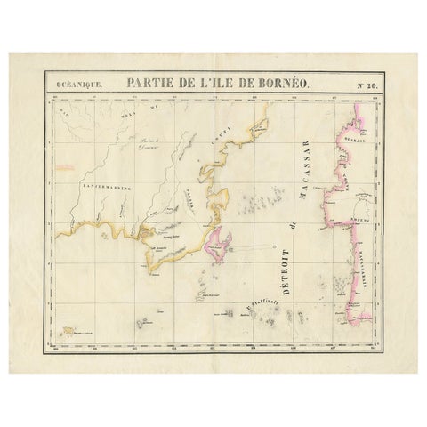
Maps and Sea Charts · Borneo
Detailed Antique Map of a Portion of Borneo and Sulawesi in Indonesia, c.1825
1825 · 69 × 53.5 cm$605
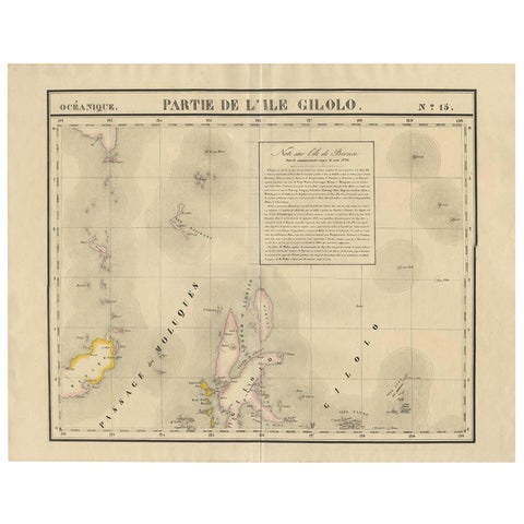
Maps and Sea Charts · Celebes
Antique Map of Southern Mindanao, Sulawesi and Gilolo Halmahera, Indonesia, 1827
1827 · 68 × 53 cm$585
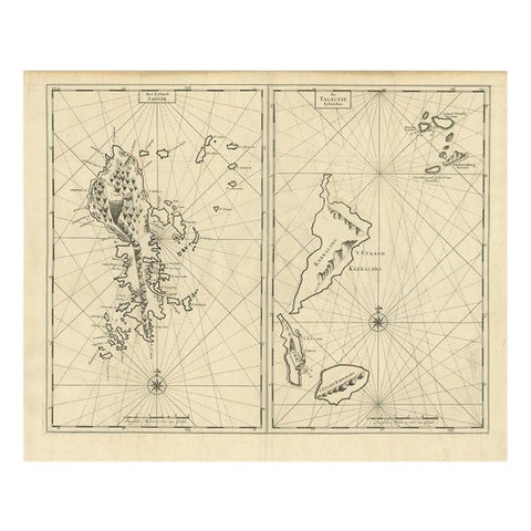
Maps and Sea Charts · Celebes
Antique Map of Sangir Island and the Talaud Islands by Valentijn, 1726
1726 · 64 × 52 cm$580
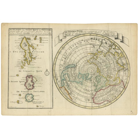
Maps and Sea Charts · Celebes
Antique Map of the North Pole & Sangihe Archipelago by Keizer & de Lat, 1788
1788 · 30 × 20.5 cm$560
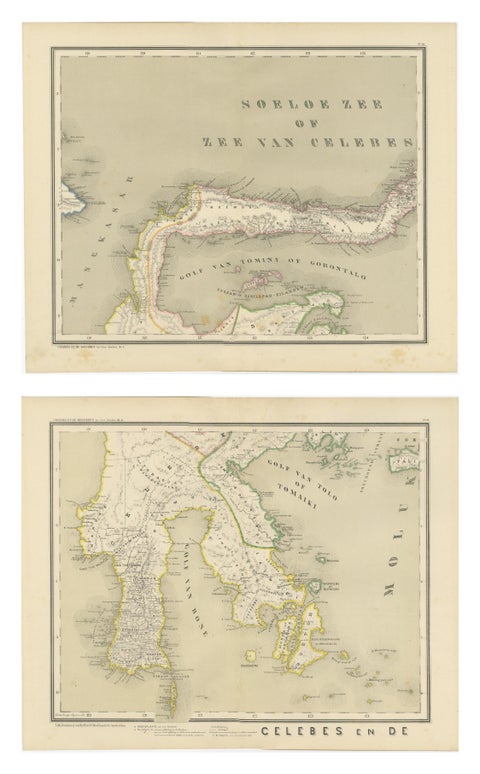
Maps and Sea Charts · Celebes
Antique Two-Sheet Map of Celebes Sulawesi, Dornseiffen, Dutch East Indies, 1884
1884 · 48.5 × 39 cm$490
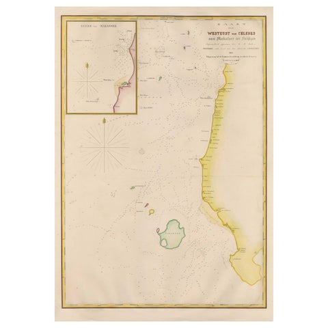
Maps and Sea Charts · Celebes
Large Antique Map of the west coast of Celebes, Sulawesi, Indonesia
1848 · 54.3 × 77.4 cm$480
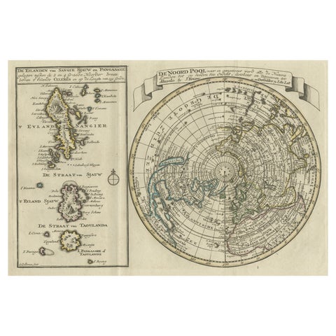
Maps and Sea Charts · Celebes
Nice Sheet of the Sangihe Archipelago in Indonesia & California Island, 1788
1788 · 30.5 × 20.5 cm$470
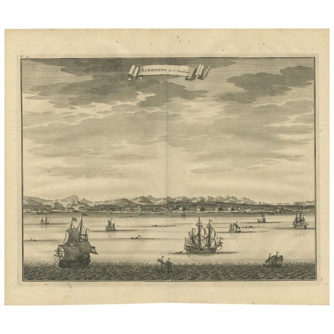
Towns and Landscapes · Celebes
Antique Print of Samboepo by Valentijn, 1726
1726 · 40 × 34 cm$450
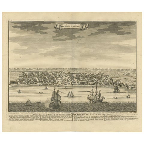
Maps and Sea Charts · Celebes
Antique Map of Samboepo by Valentijn, 1726
1726 · 40 × 34 cm$450
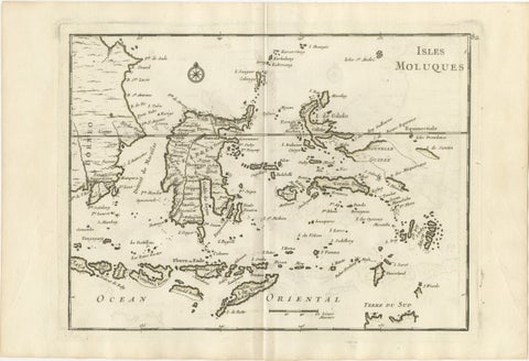
Maps and Sea Charts · Celebes
Antique Map of the Moluccas & Celebes, Le Rouge, French Engraving c.1750
1750 · 35.7 × 24.4 cm$440
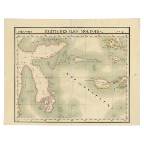
Maps and Sea Charts · Celebes
Old Map of the Moluccas and Part of Sulawesi Indonesia by Vandermaelen, c 1825
1825 · 67 × 53 cm$380
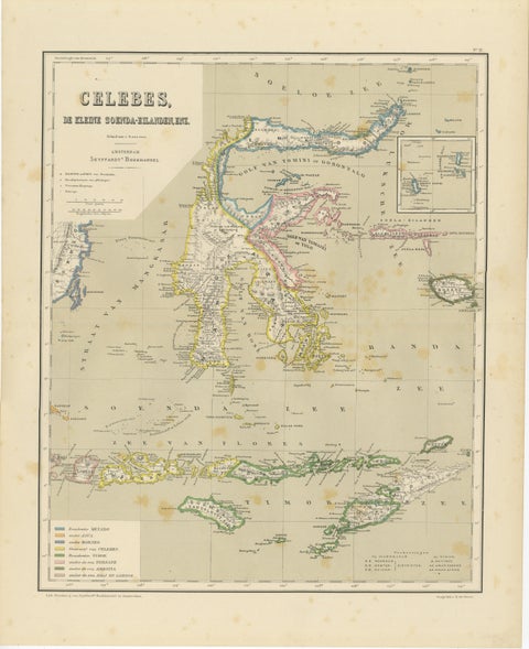
Maps and Sea Charts · Celebes
Antique Colonial Map of Celebes Sulawesi & Lesser Sunda Islands, 1884
1884 · 39 × 48.5 cm$325
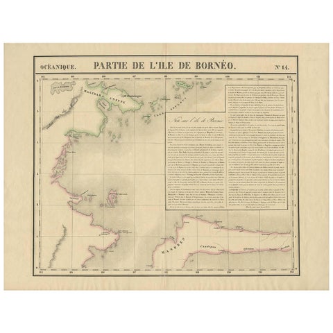
Maps and Sea Charts · Borneo
Antique Map of North East Borneo and North Sulawesi by P.M.G. Vandermaelen
Date not stated · 69.6 × 53.3 cm$315
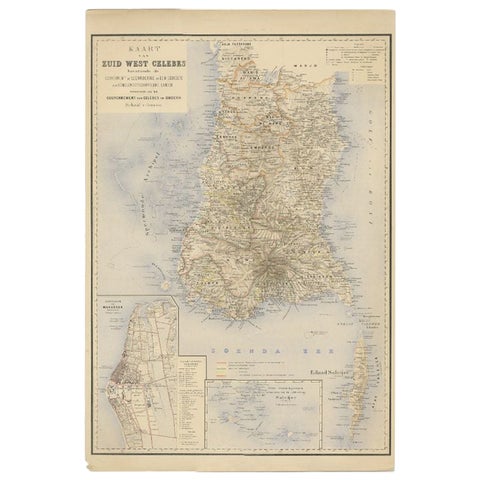
Maps and Sea Charts · Celebes
Antique Map of Southern Sulawesi by Stemfoort, 1885
1885 · 48 × 63 cm$295
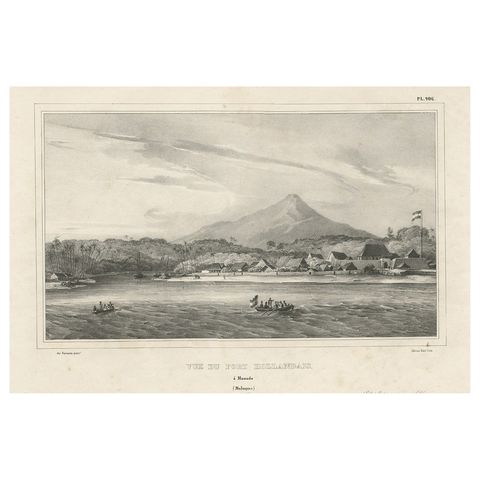
The Company · Celebes
Antique Print of a Dutch Fortress in Manado Bay, Sulawesi, Indonesia, 1833
1833 · 52 × 33 cm$285
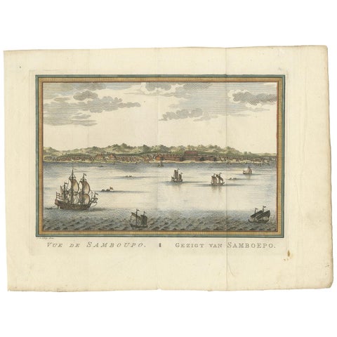
Towns and Landscapes · Celebes
Antique Print of Samboupo ‘Sulawesi, Indonesia’ by J. van Schley, 1750
1750 · 36 × 27 cm$280
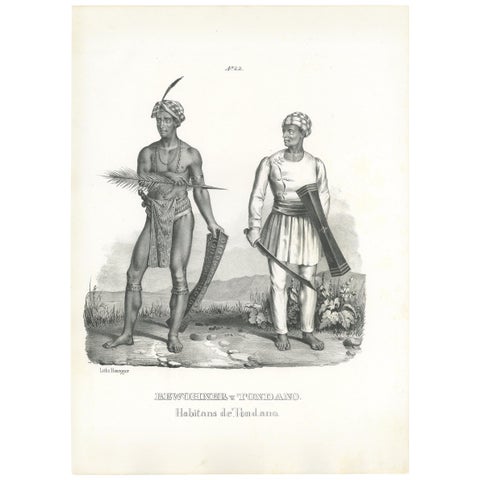
Peoples and Costume · Celebes
Antique Print of Inhabitants of Tondano 'Indonesia' by Honegger '1845'
1845 · 26 × 35 cm$280
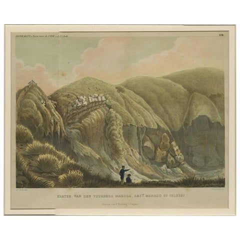
Towns and Landscapes · Celebes
Antique Print with a View of Menado on Celebes 'Indonesia' by C.G.C. Reinwardt
Date not stated · 44.5 × 37 cm$275
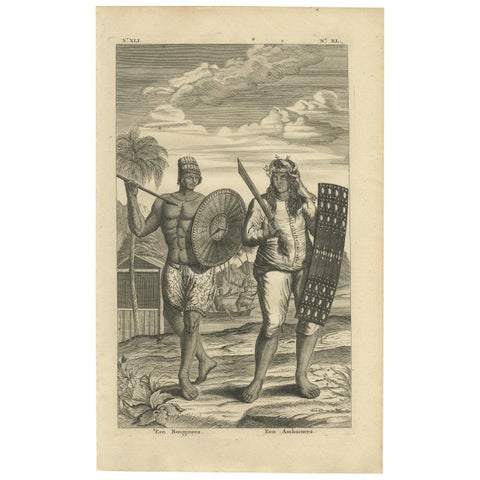
Peoples and Costume · Celebes
Antique Print of a Buginese and Ambonese Man by Valentijn, 1726
1726 · 21 × 34 cm$245
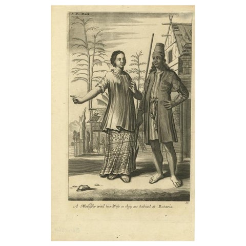
Peoples and Costume · Java
A Makasser Man with his Wife as they are Habited at Batavia, Indonesia, c1744
1744 · 21.34 × 34.55 cm$245
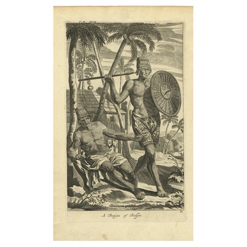
Peoples and Costume · Java
Engraving of Buginese people near Batavia, East Indies, Indonesia, 1744
1744 · 21.09 × 34.55 cm$245
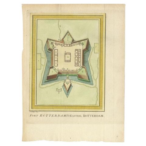
The Company · Celebes
Antique Print of Fort Rotterdam in Makassar 'Ujung Pdang', Sulawesi, Indonesia
circa 1760 · 19 × 26 cm$245
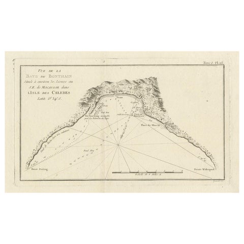
Maps and Sea Charts · Celebes
Antique Map of Bonthain Bay, Sulawesi, Celebes
circa 1774 · 38 × 27.3 cm$245
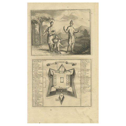
The Company · Celebes
A Macassar Couple and the Fort Rotterdam in Macassar, Celebes (Indonesia)
Date not stated · 20 × 34 cm$245
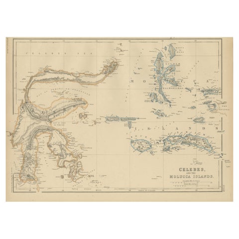
Maps and Sea Charts · Celebes
Antique Map of Celebes and the Maluku Islands by W. G. Blackie, 1859
1859 · 37 × 27 cm$225
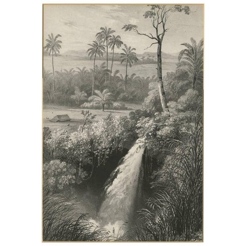
Towns and Landscapes · Celebes
Antique Print of a waterfall near Tondano (Indonesia) by C.W.M. van de Velde
Date not stated · 32 × 42 cm$215
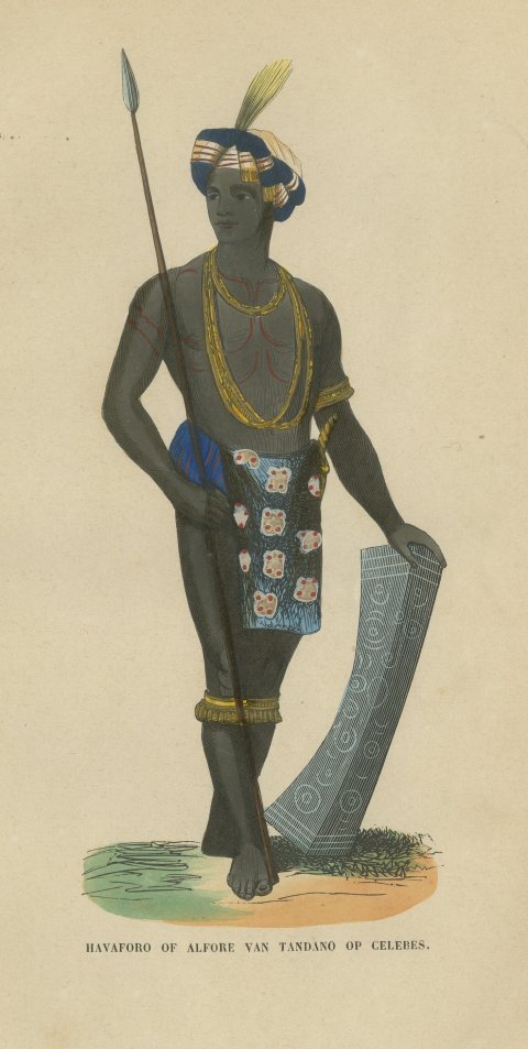
Peoples and Costume · Celebes
Alfur Man of Tondano, Celebes, Antique Hand-Colored Ethnographic Print, 1854
1854$205
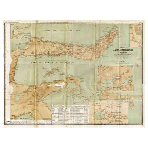
Maps and Sea Charts · Celebes
Antique Map of the Gulf of Tomini by Winkler Prins, 1878
1878 · 92 × 75 cm$205
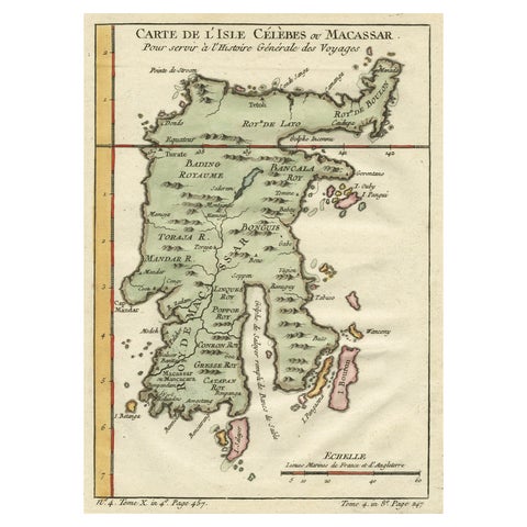
Maps and Sea Charts · Celebes
Antique Map of Celebes 'Sulawesi', Island in Indonesia, c.1750
1750 · 19 × 24.5 cm$200
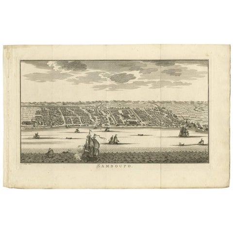
Towns and Landscapes · Celebes
Antique Print of Samboupo ‘Sulawesi, Indonesia’, 1750
1750 · 42.5 × 27 cm$190
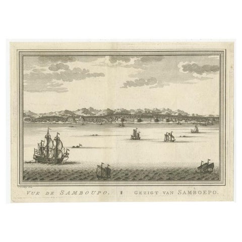
Towns and Landscapes · Celebes
Antique Print of Samboupo, Celebes or Sulawesi in Indonesia, circa 1750
1750 · 29.5 × 21.5 cm$180
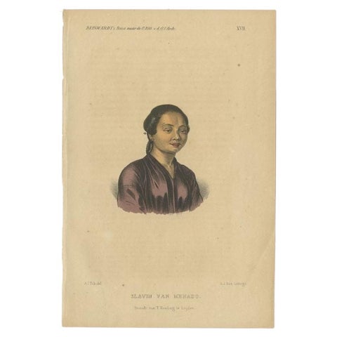
Peoples and Costume · Celebes
Antique Print of a Slave of Manado, Celebes (Sulawesi, Indonesia), 1858
1858 · 15.5 × 23 cm$180
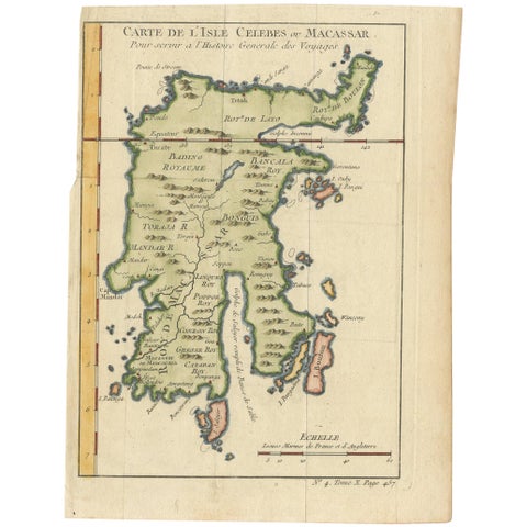
Maps and Sea Charts · Celebes
Antique Map of Celebes 'Sulawesi, Indonesia' by Bellin, ciarca 1755
1755 · 17.7 × 23.5 cm$170
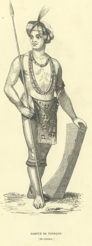
Peoples and Costume · Celebes
Harfur of Tondano, Antique Wahlen Costume Print, 1843-1844
1843-1844$160
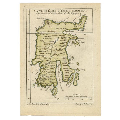
Maps and Sea Charts · Celebes
Antique Map of Celebes 'Sulawesi', Island in Indonesia, 1754
1754 · 17.8 × 24.8 cm$160
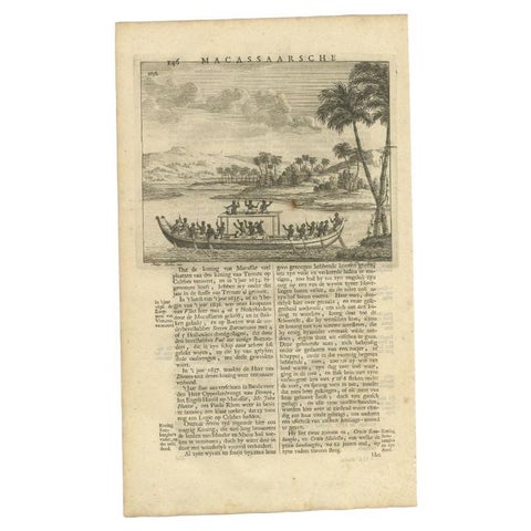
The Company · Celebes
Antique Print of a Boat Near Macassar 'Nowadays Ujung Padang', Indonesia, 1726
1726 · 20 × 34 cm$155
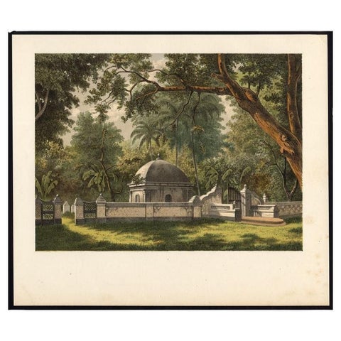
Peoples and Costume · Celebes
Antique Print of a Cemetery in Bontowala, Makassar, Celebes, Indonesia, 1888
1888 · 27.7 × 23.6 cm$155
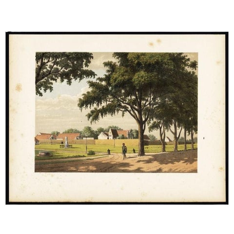
Towns and Landscapes · Celebes
Old Print of Makassar in Celebes, Dutch East Indies or nowadays Indonesia, 1888
1888 · 31 × 24 cm$145
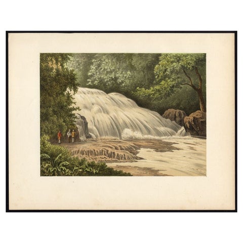
Towns and Landscapes · Celebes
Antique Print of the Bantimurung Waterfall in Indonesia
circa 1888 · 31.9 × 24.8 cm$145
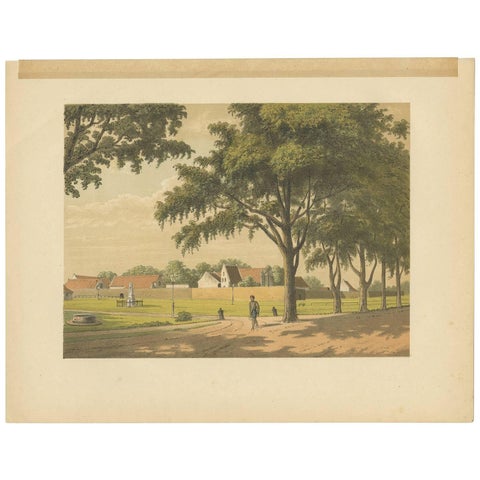
Towns and Landscapes · Celebes
Antique Print of Makassar by M.T.H. Perelaer, 1888
1888 · 31.5 × 24.2 cm$135
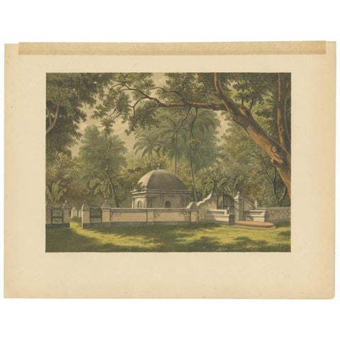
Peoples and Costume · Celebes
Antique Print of a Cemetery in Bontowala by M.T.H. Perelaer, 1888
1888 · 31.5 × 24.2 cm$135
Celebes in maps and prints
The strange shape of Celebes, four long arms around deep gulfs, took a century to settle on European maps. Makassar, taken by the VOC in 1667, guarded the route to the spice islands, and Fort Rotterdam still stands there.
The prints include Valentijn's views of 1726, Perelaer's Makassar and the people of Tondano and Manado in the north.
Other islands
Questions
Why is Sulawesi called Celebes on old maps?
Celebes is the Portuguese name, kept by the Dutch. Sulawesi is the Indonesian name used today.