Close-ups
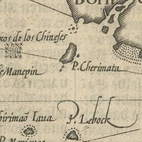
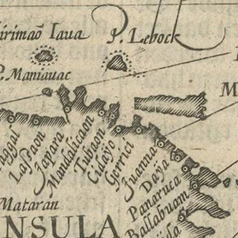
Framed and on the wall
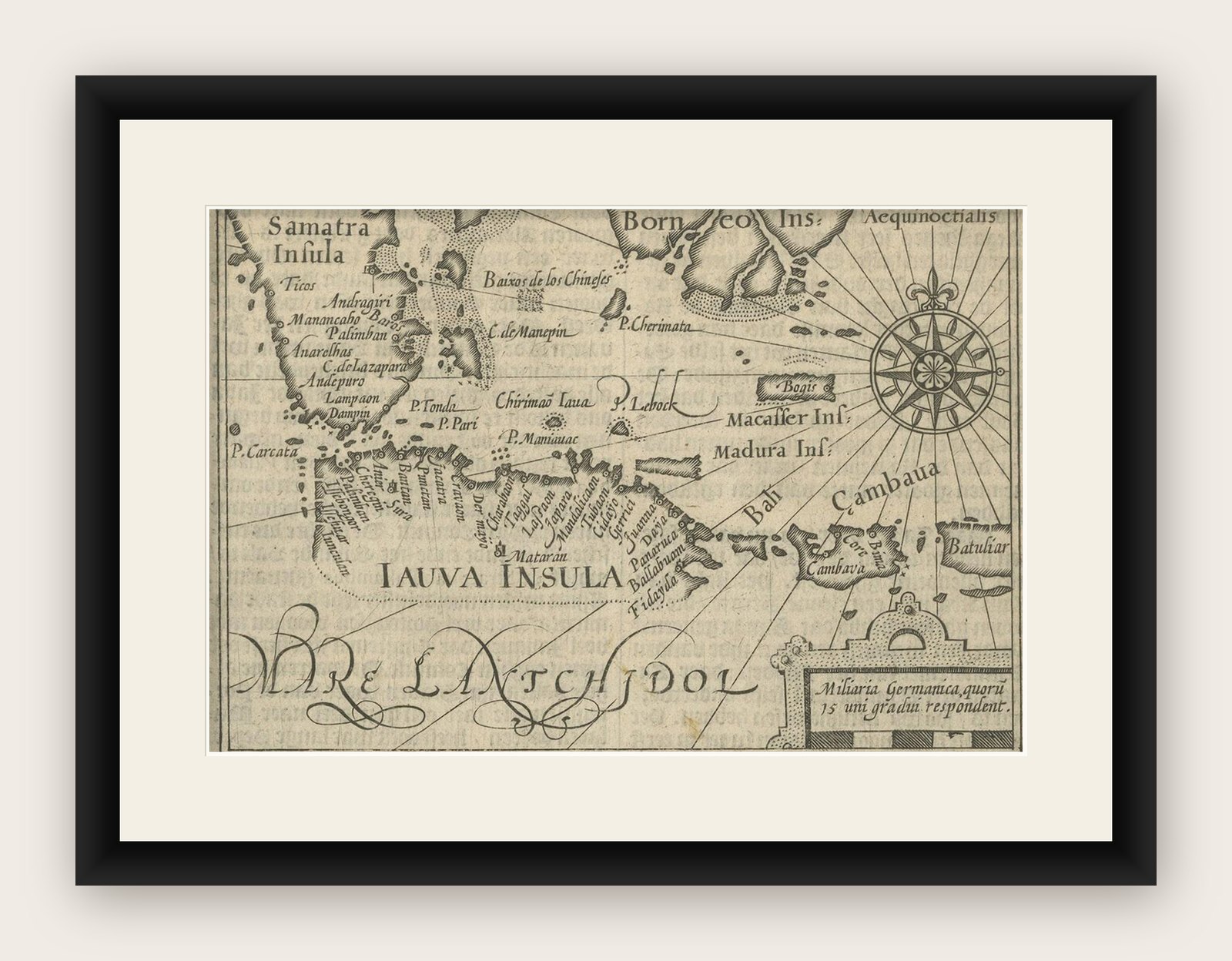

Frame and rooms are illustrations of how the print could look, drawn to its real size; it is sold unframed unless the description says otherwise.
Maps and Sea Charts
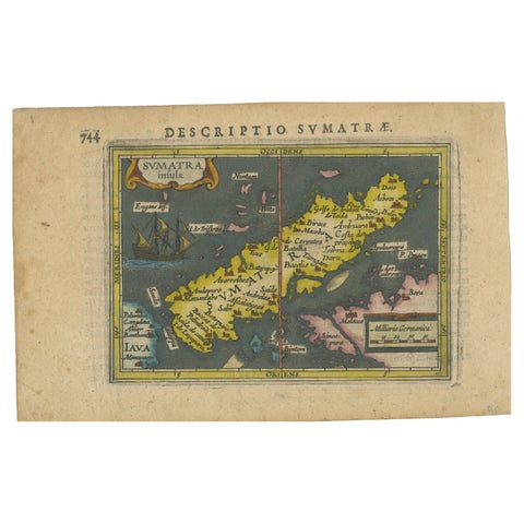
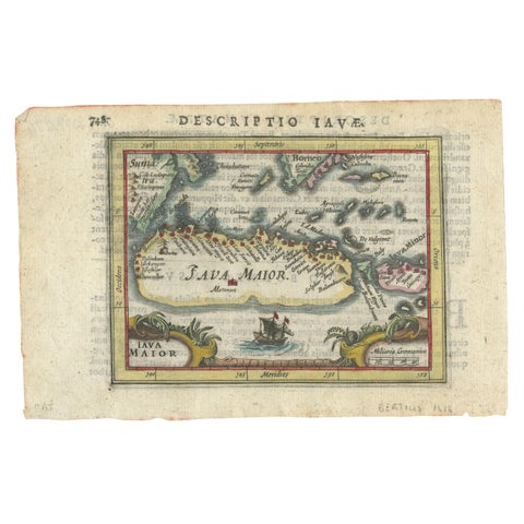
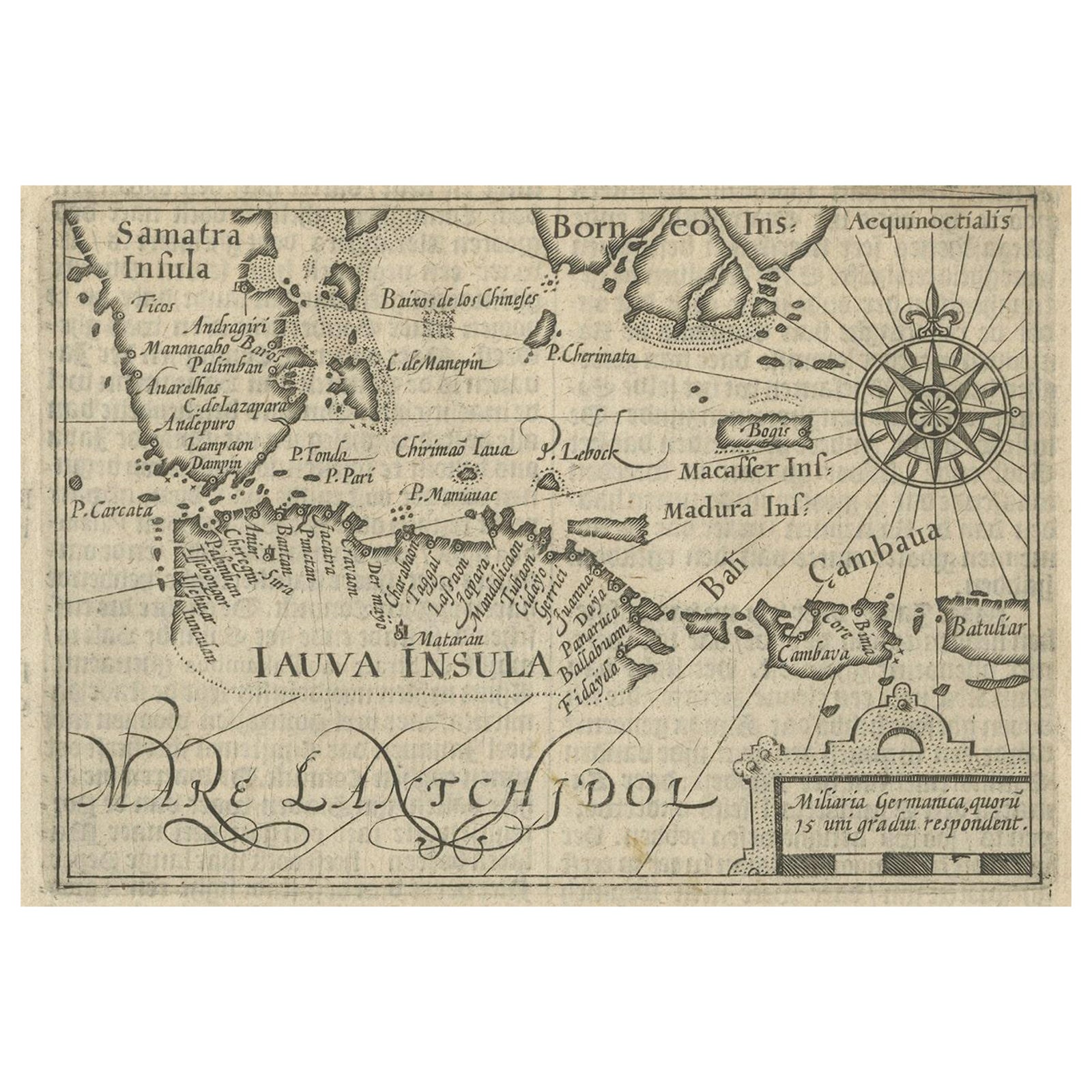
Rare Small Map of Sumatra, Java, Borneo, Macassar, Madura, Bali, 1614
Macassar is now Makassar. Borneo is now Kalimantan.
$840
€750 · £630
Original print, not a reproduction
Ships worldwide from the Netherlands, insured and tracked. 14-day returns.
- Date
- 1614
- Sheet size
- 7.1 × 9.4 in (18 × 24 cm)
- Technique
- Engraved
- Condition
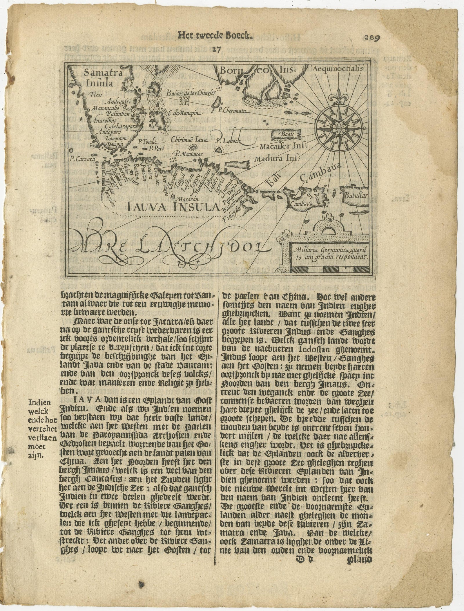
- Good. The condition of the small map is very good, Dutch text on verso of the leaf. The area around the map has water damage. Study the image of the larger leaf carefully.
- Island
- Java, Sumatra, Borneo, Celebes, Lesser Sunda
- Place names
- Macassar is now Makassar; Borneo is now Kalimantan
- Collection
- Maps and Sea Charts
- Period
- The spice race, before 1700
- Stock no.
- f_25977812
What the condition grades mean
- Excellent
- Bright and clean, with no faults worth mentioning.
- Very good
- Only light signs of age, such as faint toning.
- Good
- Normal signs of age for a sheet of this period: toning, some foxing, small marks or neat old repairs.
- Fair
- Clear faults such as staining, tears or repairs, priced to match.
Every fault we see is written in the condition note, and the whole sheet is shown uncropped in the photos.
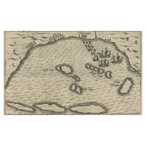
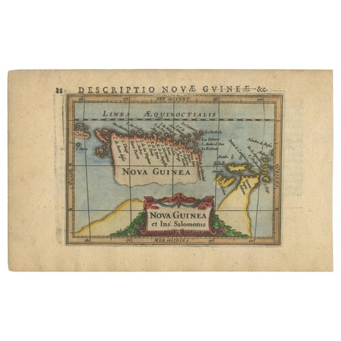
One of the first maps of the Indonesia islands of Java, Bali, Sumbawa etc. in early days of the Dutch Indies. Also showing Banten, Jakarta (Jacatra), Indragiri, Barus Tiku, Palembang, Indramayu, Tegal, Jepara, Kota agung, Bima, Makassar (Celebes/Sulawesi).
From the Johan Isaac Pontanus & J. Hondius edition of 1614, 'Historische beschrijvinghe der seer wijt beroemde coop-stadt Amsterdam'- which includes the text of the first voyage around the Cape to the East Indies (including a visit to Madagascar), the fight against the Portuguese on Bantam (West Java), description of Java, etc.
creator: Anoniem / Anonymous(engraver / etcher), Lodewijcksz, Willem(copied after)
period: 1614
material: paper
technique: engraving
inscriptiion: Iauva Insula / Samatra Insula / Borneo Insula / Miliaria Germanica quoru 15 uni gradui respondent Anoniem / Anonymous
measurements sheet: 9.5 x 7 inch ( 24x18 cm)
measurement map: 5.1 x 3.5 inch ( 13x9 cm )
The condition of the small map is very good, Dutch text on verso of the leaf. The area around the map has water damage. Study the image of the larger leaf carefully.
Explore