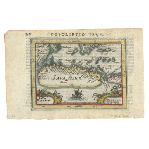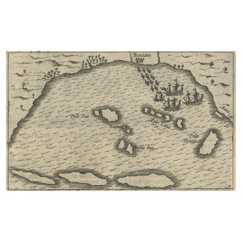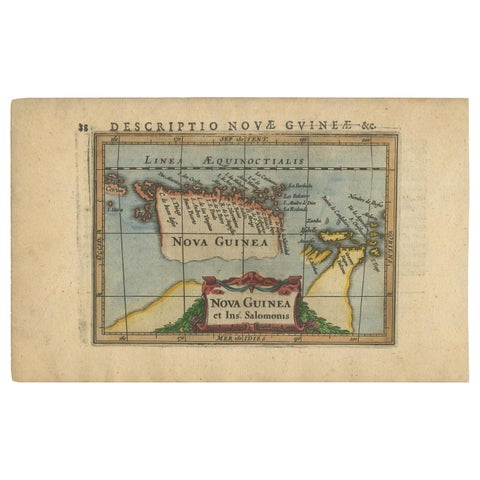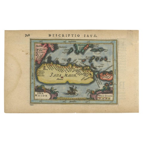
Close-ups
Framed and on the wall
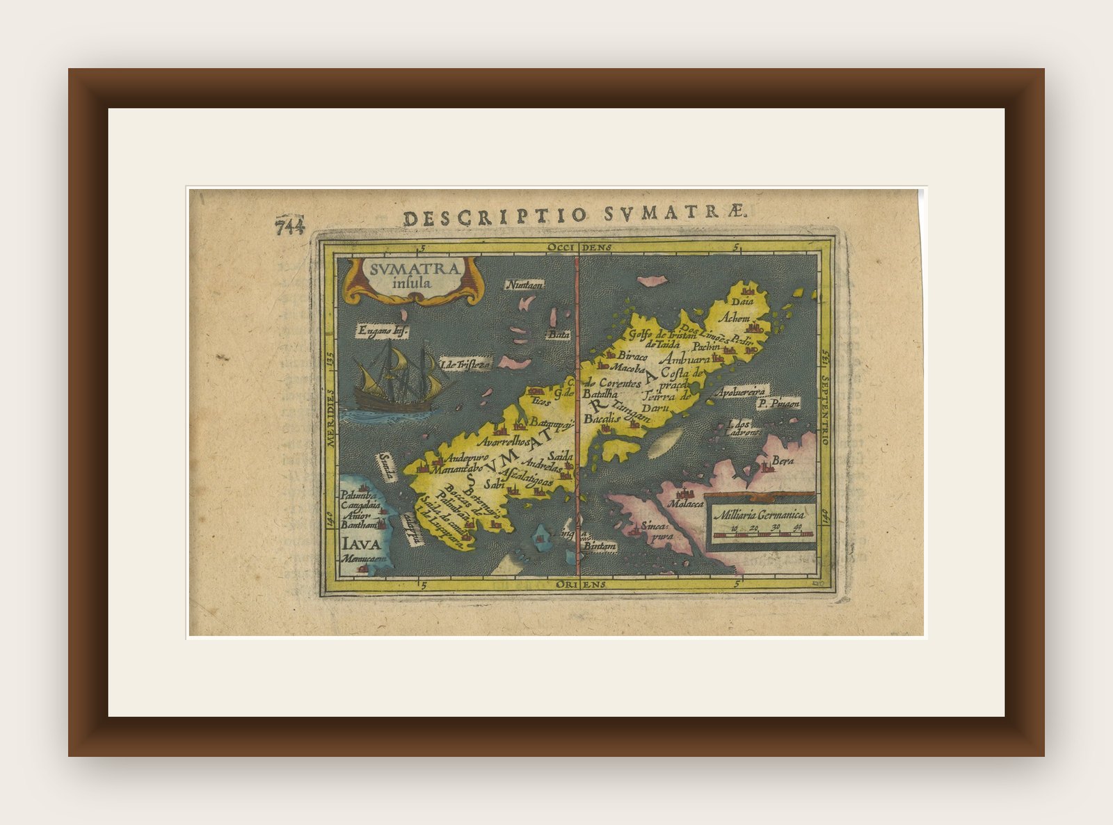
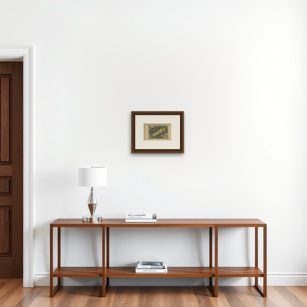

Frame and rooms are illustrations of how the print could look, drawn to its real size; it is sold unframed unless the description says otherwise.
Maps and Sea Charts
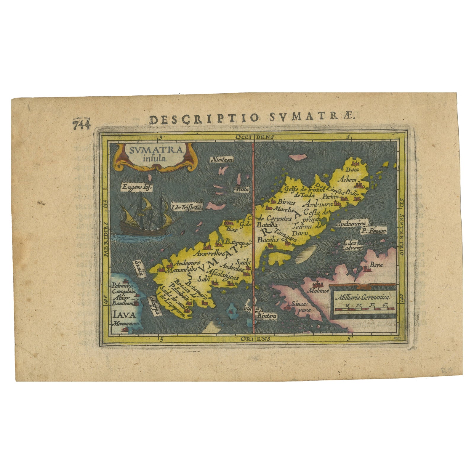
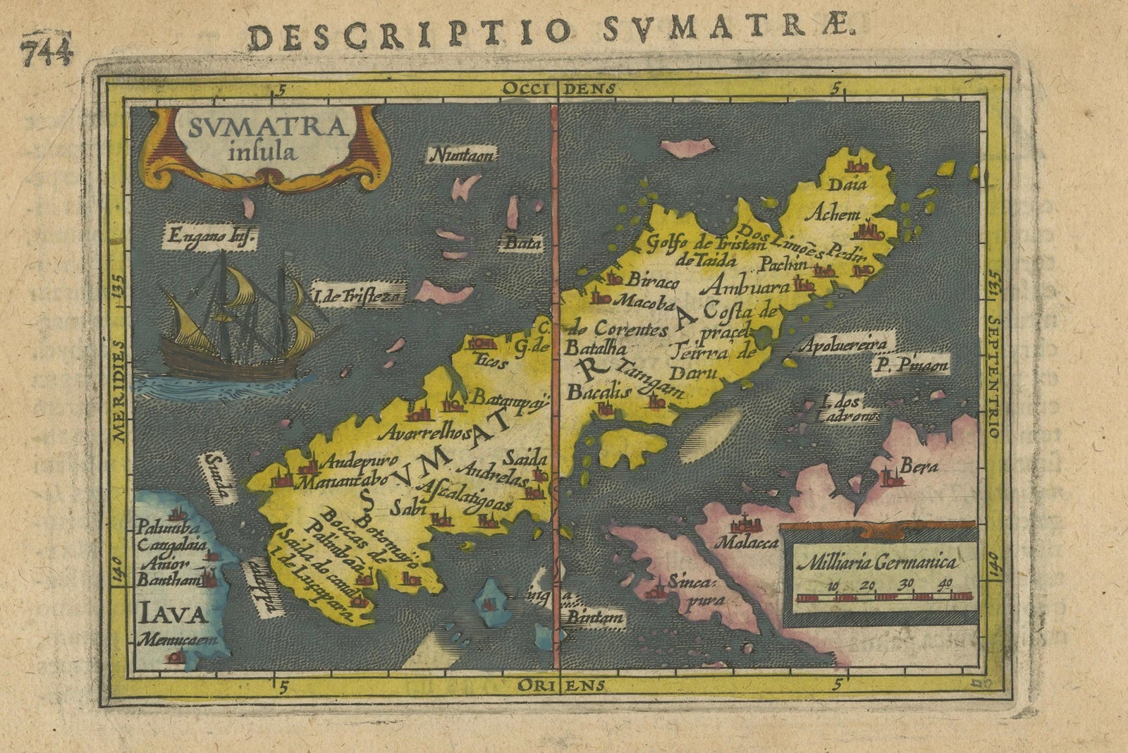
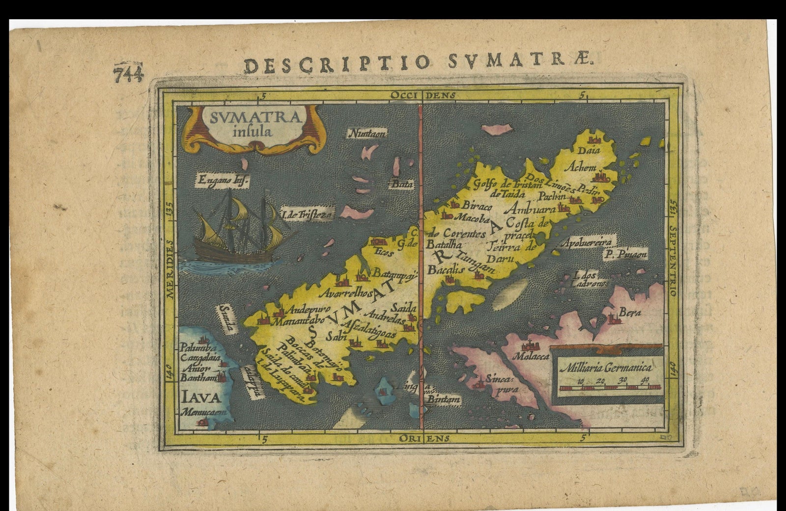
1616 Bertius Map of Sumatra, Singapore and the Straits of Malacca
$940
€840 · £705
Original print, not a reproduction
Ships worldwide from the Netherlands, insured and tracked. 14-day returns.
- Date
- 1616
- Sheet size
- 4.7 × 7.5 in (12 × 19 cm)
- Condition
- Good. The map, never folded, is in very good condition, with light age-related browning at the margins and attractive old-time coloring. Latin text on the reverse. Study the images carefully.
- Island
- Sumatra
- Collection
- Maps and Sea Charts
- Period
- The spice race, before 1700
- Stock no.
- f_37815972
What the condition grades mean
- Excellent
- Bright and clean, with no faults worth mentioning.
- Very good
- Only light signs of age, such as faint toning.
- Good
- Normal signs of age for a sheet of this period: toning, some foxing, small marks or neat old repairs.
- Fair
- Clear faults such as staining, tears or repairs, priced to match.
Every fault we see is written in the condition note, and the whole sheet is shown uncropped in the photos.
Title: "1616 Bertius Map of Sumatra and the Straits of Malacca"
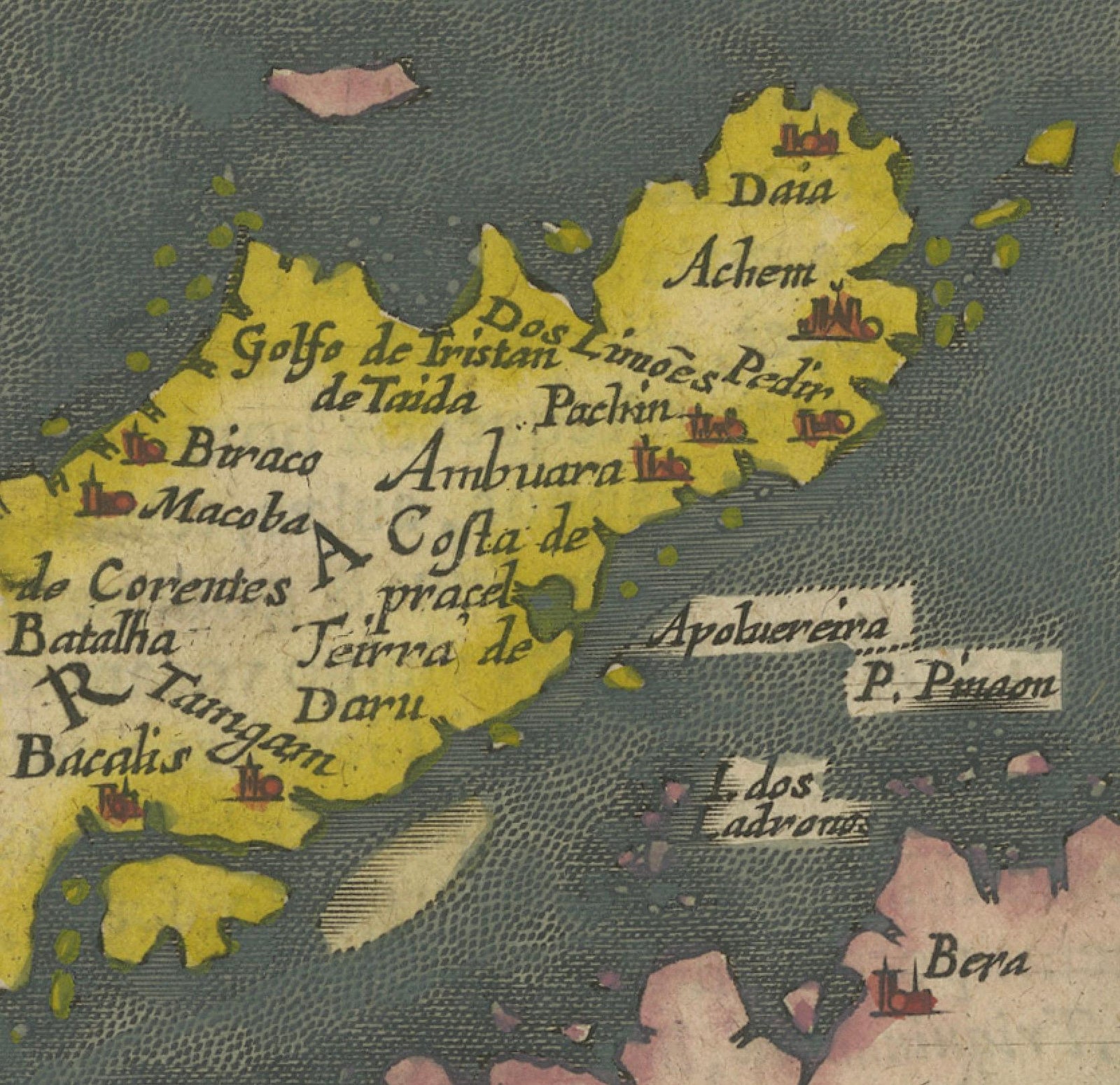
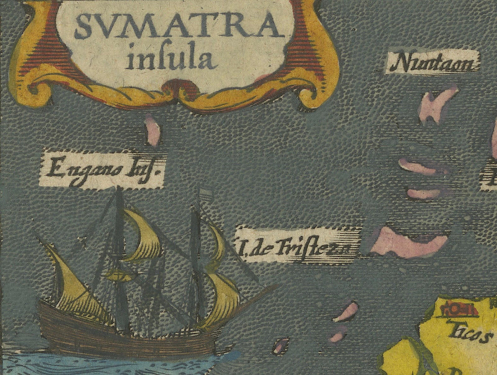
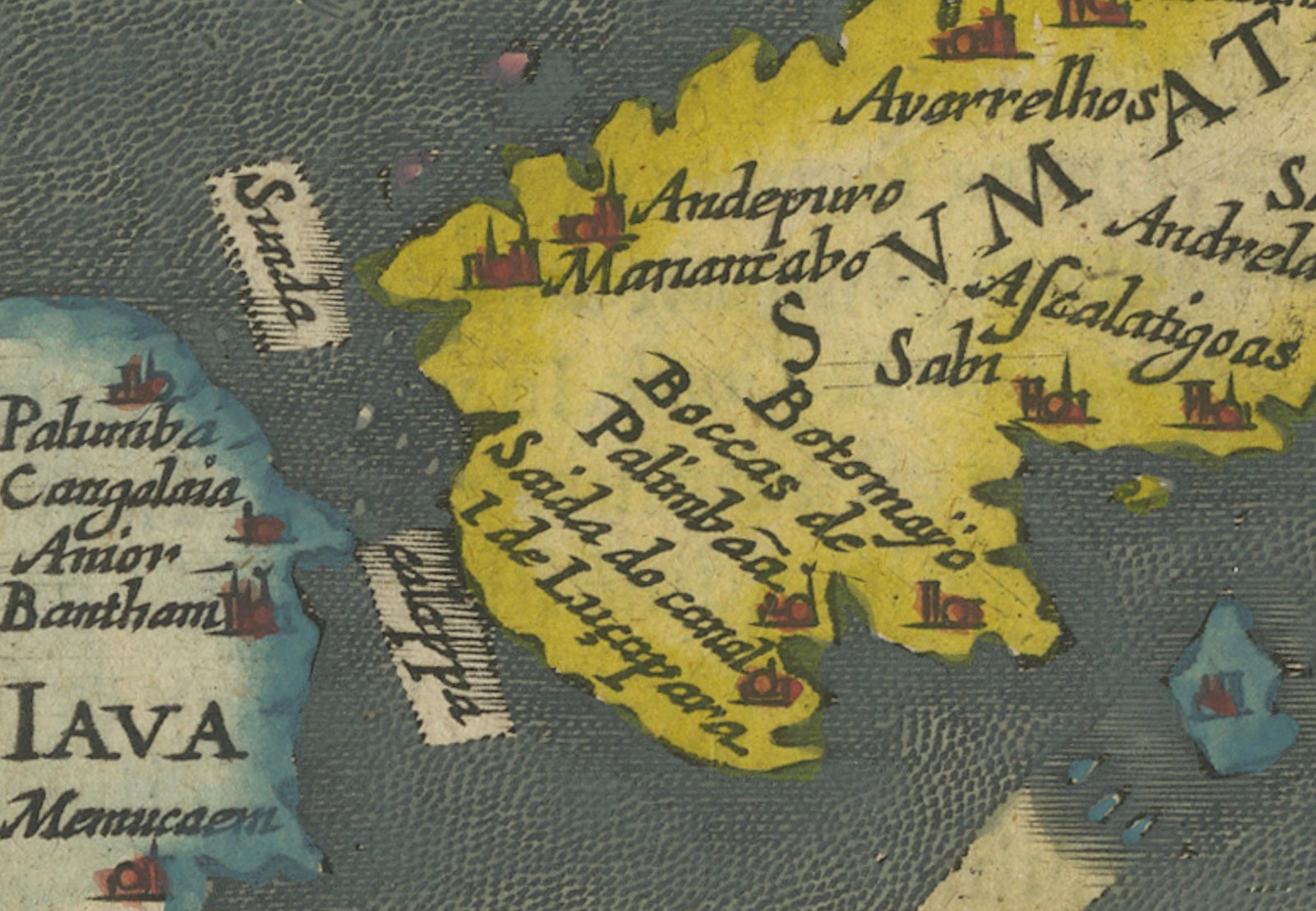
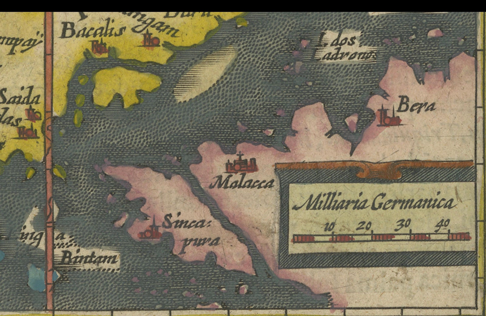
Description: This is an exquisite 1616 original antique map by Petrus Bertius, titled "Sumatra Insula," showcasing Sumatra and the southern tip of Malaysia, with a unique early depiction of Singapore as 'Sinca: pura'. Oriented with north to the right, it stands as one of the earliest detailed maps emphasizing the Straits of Malacca. The map, never folded, is in very good condition, with light age-related browning at the margins and attractive old-time coloring. Latin text on the reverse side adds to its historical allure, making it a remarkable piece for collectors.
Petrus Bertius was a Flemish philosopher, theologian, historian, geographer, and cartographer, known for his work in mathematics, historical, and theological areas. He published an edition of Ptolemy's "Geographia" and is recognized for his contributions to cartography. Bertius was born in 1565 in Flanders and fled to London with his family for religious reasons, later studying at the University of Leiden. He had a significant academic career but eventually moved to France, where he became the cosmographer to Louis XIII and converted to Catholicism. He passed away in Paris in 1629.
Explore