Collection
Maps and Sea Charts
Maps and charts of the archipelago from Münster's woodcut of Sumatra of about 1590 to the Dornseiffen atlas of 1884: Blaeu and Janssonius, Valentijn's island maps of 1726, Bellin and Mannevillette for the French navy, and the town plans of Batavia.
301 sheets
Maps and Sea Charts
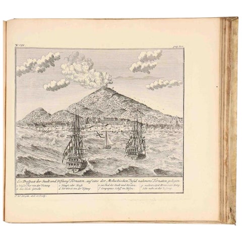
VOC Atlas of Africa and East Indies by J.W. Heydt, Homann Heirs, 1744
1744 · 36.5 × 32.5 cm$15,000
Maps and Sea Charts · Moluccas
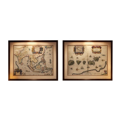
Antique Blaeu Maps, Indonesia & Moluccas, VOC Era, c.1642
1642 · 59 × 50 cm$10,970
Maps and Sea Charts
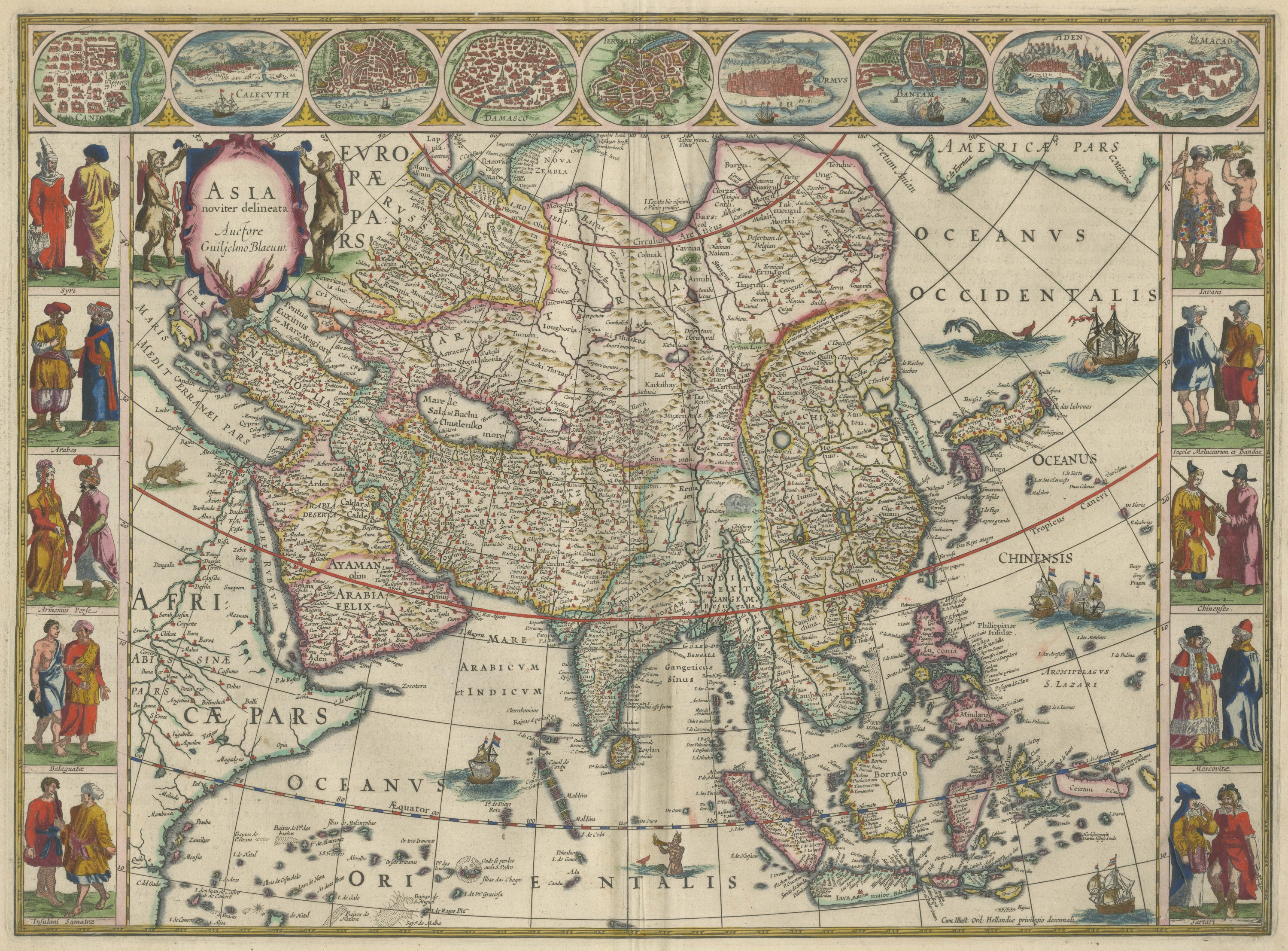
Antique Blaeu Map of Asia, Arabia Felix and the East Indies, 1642
1642$8,395
Maps and Sea Charts
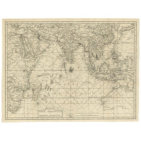
Antique Map of South East Asia, Australia and the Indian Ocean, 1726
1726 · 69 × 52.5 cm$8,060
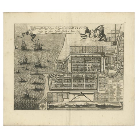
Maps and Sea Charts · Java
Rare 1681 Map of Batavia: Detailed Dutch Colonial Era Cartography, 1681
1681 · 62 × 53.5 cm$6,605
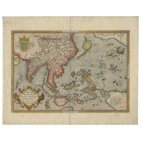
Maps and Sea Charts
Antique Ortelius Map of Asia Featuring Japan, China, Taiwan & East Indies, 1587
1587 · 49 × 35 cm$5,540
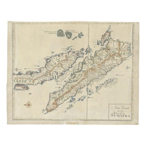
Maps and Sea Charts · Sumatra
Antique Map of Sumatra, Indonesia 'c.1780'
1780 · 63 × 49.5 cm$3,920
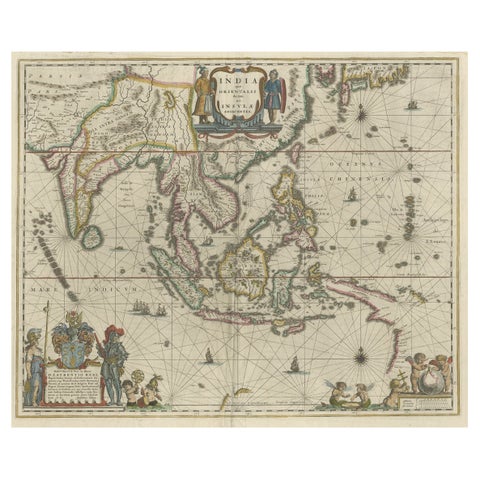
Maps and Sea Charts · New Guinea
Original Blaeu Map of Southeast Asia from India to Tibet and Japan to New Guinea
1635 · 60 × 49.5 cm$3,920
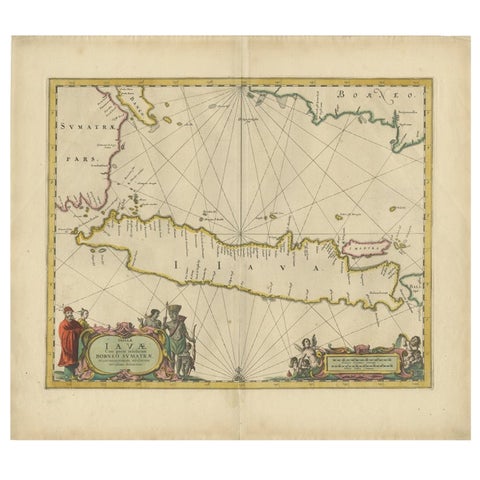
Maps and Sea Charts · Java
Antique Map of the Island Java, Indonesia, c.1650
1650 · 54 × 61.5 cm$3,640
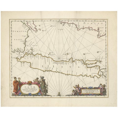
Maps and Sea Charts · Java
Antique Map of Java by Janssonius, circa 1650
1650 · 62 × 51.5 cm$3,300
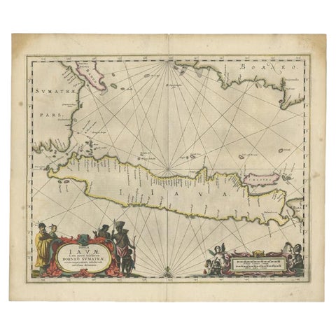
Maps and Sea Charts · Java
Antique Map of Java and Part of Borneo, Indonesia, c.1657
1657 · 49.5 × 58 cm$3,080
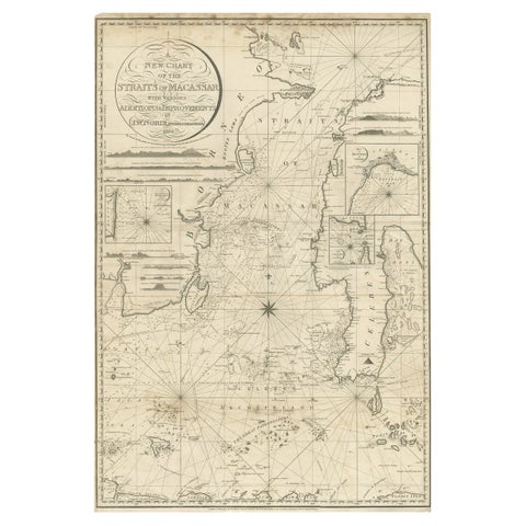
Maps and Sea Charts · Celebes
Antique Map of Straits of Makassar by J.W. Norie, Engraved Chart, 1820
1820 · 66 × 96 cm$3,080
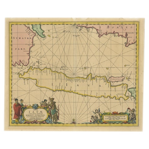
Maps and Sea Charts · Java
Antique Map of Java in The Dutch East Indies, Now Indonesia, c.1690
1690 · 46 × 55 cm$3,080
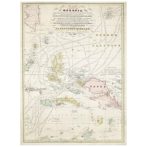
Maps and Sea Charts · Moluccas
Large Italian Map of Islands of Oceania, incl Papua, Timor, Banda, Ceram, 1855
1855 · 54 × 74 cm$2,965
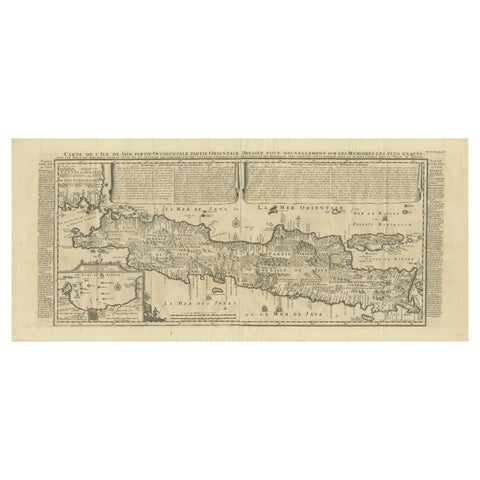
Maps and Sea Charts · Java
Antique Map of Java by Henri Chatelain, Decorative Print, 1718, France
1718 · 44 × 98 cm$2,965
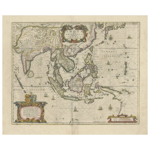
Maps and Sea Charts
Old Antique Map of the East Indies and Southeast Asia, ca.1644
1644 · 60 × 50 cm$2,965
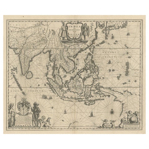
Maps and Sea Charts · New Guinea
Map of Southeast Asia, Extending from India to Tibet & Japan to New Guinea, 1640
1640 · 60 × 50.5 cm$2,965
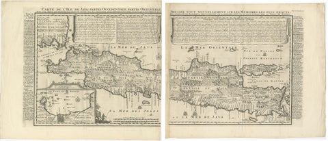
Maps and Sea Charts · Java
Antique Map of Java 'Indonesia' by Chatelain, 1719
1719 · 103.5 × 89 cm$2,800
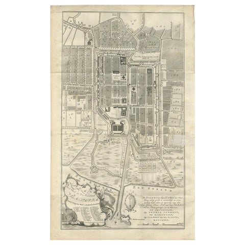
Maps and Sea Charts · Java
Antique Plan of Batavia by Van Krevelt, circa 1780
1780 · 45 × 69 cm$2,800
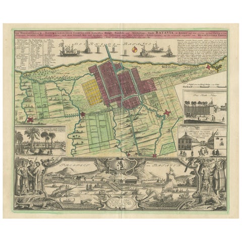
Maps and Sea Charts · Java
Antique Map and Views of Batavia by Homann Heirs, '1733'
1733 · 61 × 51 cm$2,800
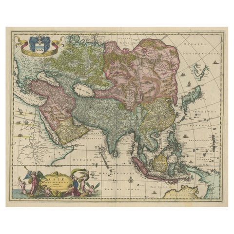
Maps and Sea Charts
Antique Map of Asia and the East Indies and Korea as a Peninsula, ca.1660
1660 · 61 × 50 cm$2,800
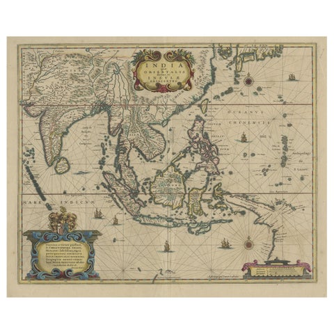
Maps and Sea Charts
Original Antique Hand-Colored Map of The East Indies and Southeast Asia, c.1644
1644 · 59 × 50 cm$2,800
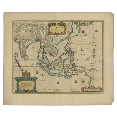
Maps and Sea Charts
Original Antique Map of the East Indies (Indonesia) by Janssonius, c.1644
1644 · 59.5 × 47 cm$2,800
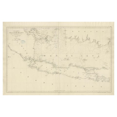
Maps and Sea Charts · Java
Large Chart of the island and sea of Java, Indonesia
1863 · 103 × 69.2 cm$2,800
Maps and Sea Charts
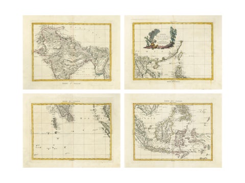
Antique Map Set East Indies, India, Indochina, Indonesia, Zatta 1784
1784 · 50 × 38 cm$2,795
Maps and Sea Charts
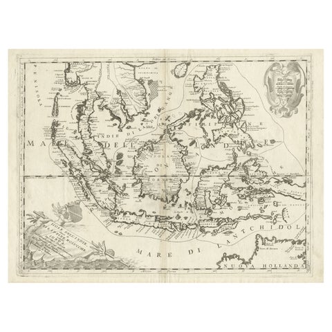
Original Antique Map of the Philippines, Malaysia, Indonesia, Singapore, c.1690
1690 · 70 × 49.5 cm$2,520
Maps and Sea Charts · Java
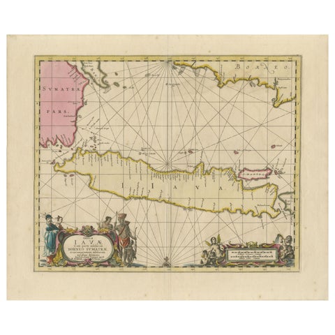
Antique Map of Java, Sumatra & Borneo, Dutch East Indies Sea Chart c.1700
1700 · 61.5 × 51.2 cm$2,520
Maps and Sea Charts
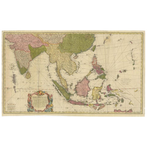
Rare 18th-Century Hand-Colored Map of Southeast Asia and the East Indies, 1748
1748 · 88 × 53 cm$2,505
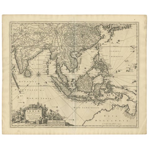
Maps and Sea Charts
Antique Map of Southeast Asia 'India, Indonesia' by N. Visscher, circa 1670
1670 · 63.6 × 52.7 cm$2,185
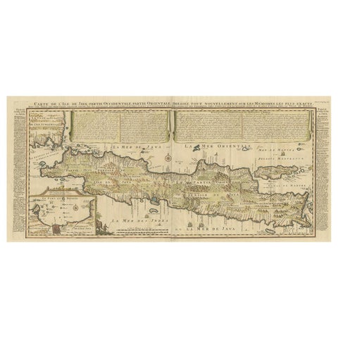
Maps and Sea Charts · Java
Antique French Map of Java, Indonesia by Chatelain, '1719'
1719 · 93.5 × 44.5 cm$2,140
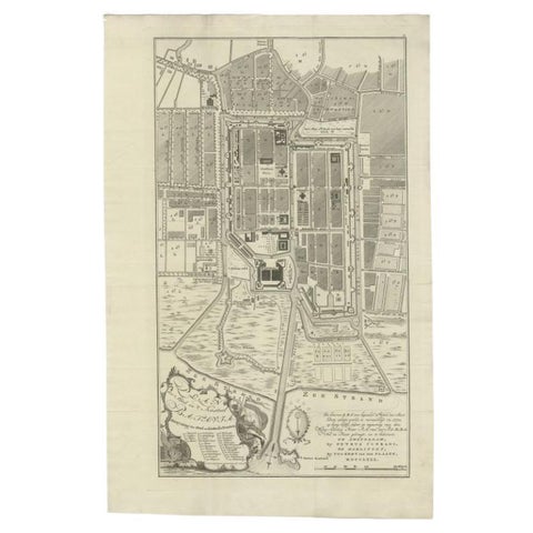
Maps and Sea Charts · Java
Antique Plan of Batavia, Nowadays Jakarta, Indonesia, 1780
1780 · 47 × 73 cm$2,070
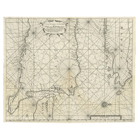
Maps and Sea Charts · Java
Rare Old English Sea Chart of Part of Indonesia with Java, Madura and Bali, 1711
1711 · 55.3 × 45 cm$1,845
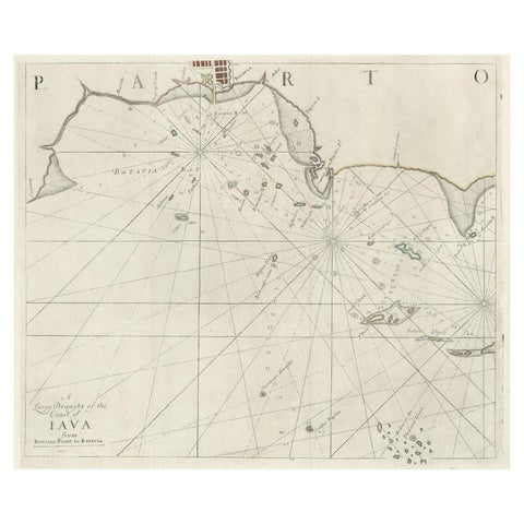
Maps and Sea Charts · Java
Two Antique Sea Charts of the Thousand Islands between Batavia and Bantam, c1734
1734 · 126 × 51 cm$1,845
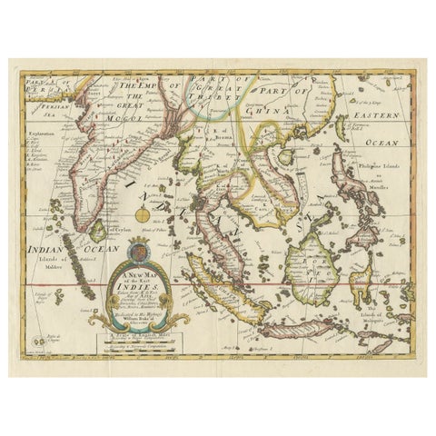
Maps and Sea Charts · Lesser Sunda
Old Map Covering All of Southeast Asia from Persia to the Timor Island, 1712
1712 · 57 × 44 cm$1,680
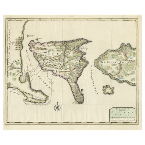
Maps and Sea Charts · Lesser Sunda
1726 Valentyn's Map of Bali and Lombok, Original Engraving
1726 · 62 × 55 cm$1,680
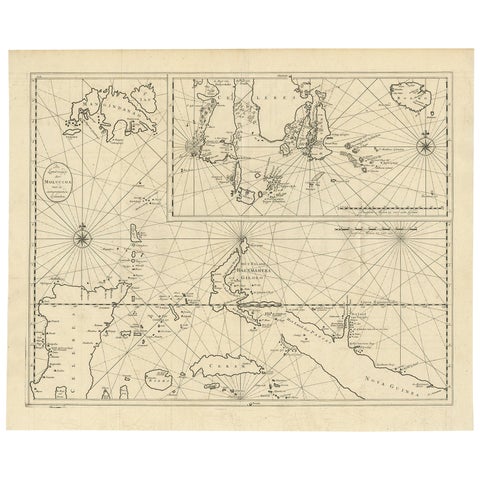
Maps and Sea Charts · Moluccas
Large Antique Detailed Map of a Part of the Spice Islands, Indonesia, 1726
1726 · 64 × 52 cm$1,625
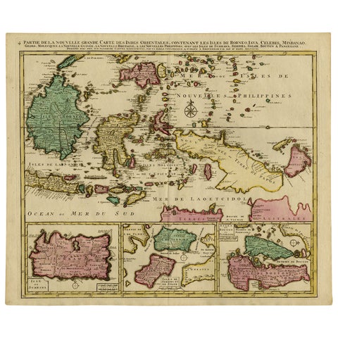
Maps and Sea Charts · Borneo
Old Map of Indonesian Islands Borneo, Celebes, New Guinea & New Britain, 1792
1792 · 66 × 55.3 cm$1,625
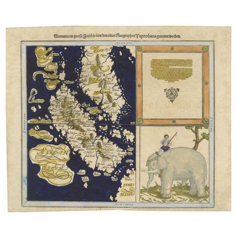
Maps and Sea Charts · Sumatra
Renaissance Mapping of Sumatra: Featuring Singapore in Münster’s Woodcut, c.1590
1590 · 41.5 × 34 cm$1,625
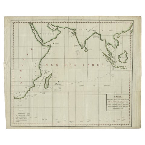
Maps and Sea Charts · Java
Old Map of Indian Ocean & Sumatra, Java, Borneo, India, Arabia, Africa, c.1783
1783 · 64.5 × 53 cm$1,565
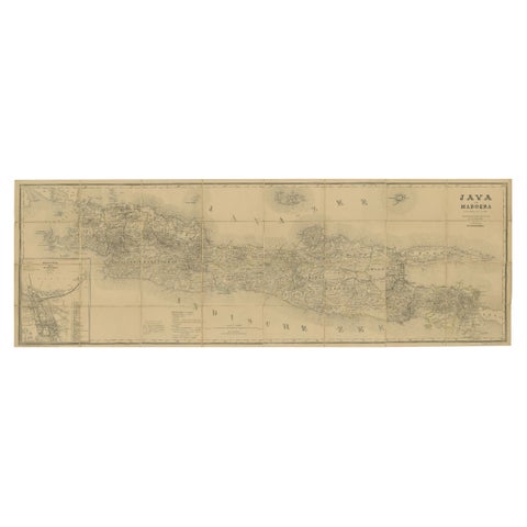
Maps and Sea Charts · Java
Large Antique Map of Java & Madura with Batavia Inset, c.1870s Dutch East Indies
Date not stated · 124 × 42 cm$1,565
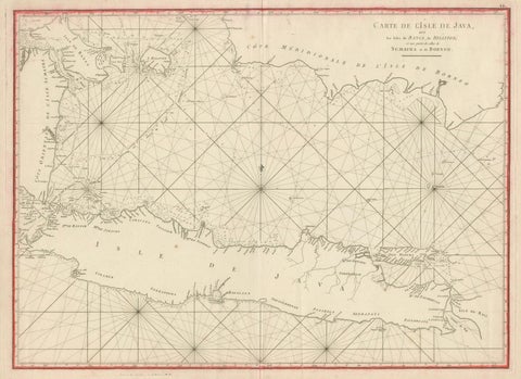
Maps and Sea Charts · Java
Antique Sea Chart Java Indonesia, Mannevillette Neptune Oriental 1775
1775 · 74 × 53.8 cm$1,565
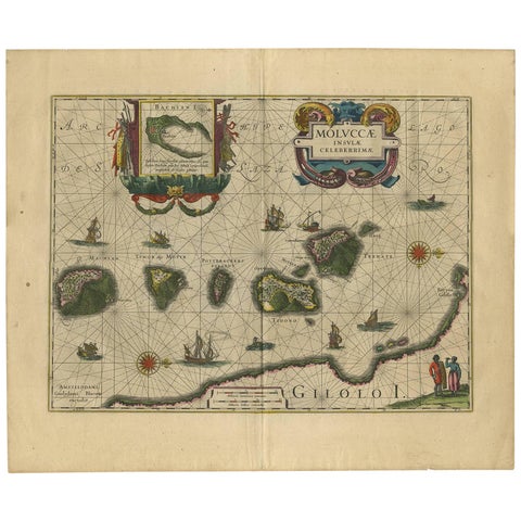
Maps and Sea Charts · Moluccas
Antique Map of the Spice Islands 'Moluccas', Indonesia by W. Blaeu, circa 1640
1640 · 58.5 × 50 cm$1,565
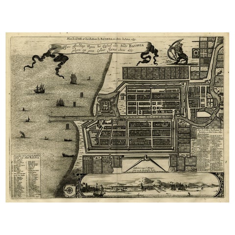
Maps and Sea Charts · Java
Antique Map of Batavia, Dutch East Indies, Nowadays Jakarta, Indonesia, ca.1669
1669 · 37.5 × 32.2 cm$1,510
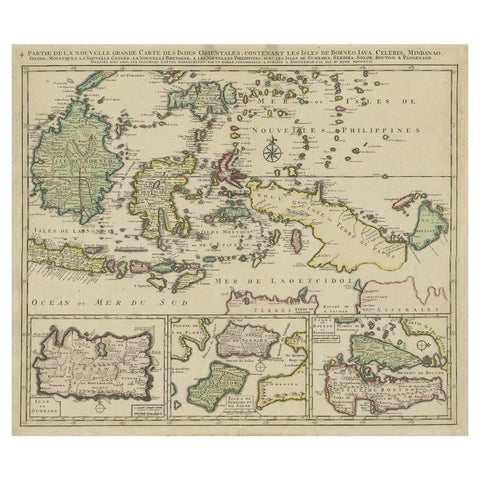
Maps and Sea Charts · Borneo
Old Map of the East Indonesian Islands Borneo, Celebes, New Guinea, Bali, 1792
1792 · 64.5 × 55 cm$1,400
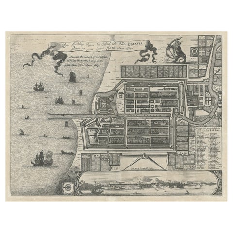
Maps and Sea Charts · Java
Antique Plan of the Castle & City of Batavia 'Jakarta' on Java, Indonesia, c1669
1669 · 44.5 × 39 cm$1,400
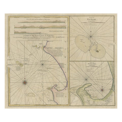
Maps and Sea Charts · Sumatra
Early Chart Identifying British Spice Trading Colony of Bencoolen, Sumatra, 1797
1797 · 71 × 57.5 cm$1,400
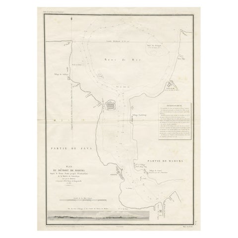
Maps and Sea Charts · Java
Detailed Map of the Madura Strait, between Java & Madura Island, Indonesia, 1825
1825 · 50.5 × 68 cm$1,400
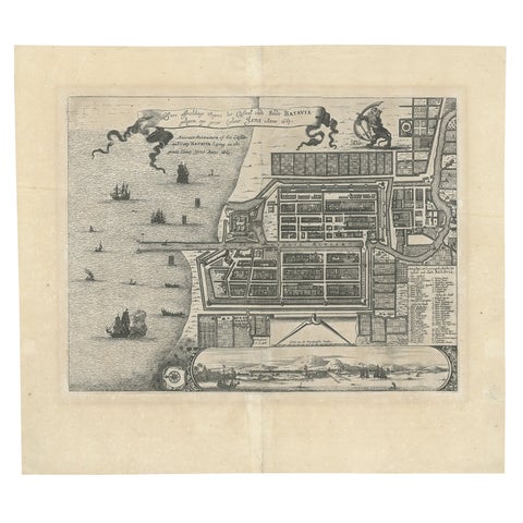
Maps and Sea Charts · Java
Antique Map of Batavia 'Jakarta', Indonesia by Montanus, circa 1669
1669 · 44.5 × 39 cm$1,400
About Maps and Sea Charts
The Dutch East Indies were mapped by the people who sailed there. The VOC kept its charts secret in its own drawing office in Amsterdam, but the great publishing houses of Blaeu and Janssonius printed the archipelago for the public from the 1630s, and their maps of the Moluccas, Java and the East Indies were copied across Europe for a century.
This collection runs from the Renaissance woodcuts of Münster and Ramusio, through the golden age atlases, Valentijn's island maps of 1726 and the French charts of Bellin and Mannevillette, to the 19th century surveys of Van den Bosch, Vandermaelen and Dornseiffen and the town plans of Batavia.
Explore
By maker, by subject and by place.
Makers and books
Places
Subjects
Questions
Which map is the classic map of the Spice Islands?
Blaeu's Moluccae Insulae Celeberrimae of about 1640, which shows the five clove islands in a row with ships and a decorative cartouche.
What is a sea chart?
A map made for navigation, with soundings, anchorages, coastlines and compass lines, rather than the land. The French charts of the Neptune Oriental are among the best of the 18th century.