Pieter van der Aa
Maps and views published in Leiden by Pieter van der Aa around 1707 to 1730 for his Galerie agréable du monde and his collections of voyages: Batavia, Java, Bantam and the Moluccas.
17 sheets
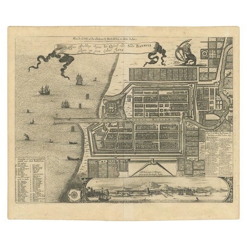
Maps and Sea Charts · Java
Antique Map of the City of Batavia by Van der Aa, circa 1730
1730 · 37.5 × 31 cm$1,345
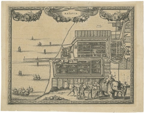
Towns and Landscapes · Java
Antique Print of Batavia, Capital of the Dutch East Indies, Van der Aa, ca.1725
1725 · 30.5 × 24 cm$995
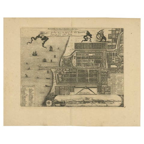
Maps and Sea Charts · Java
1728 Map of Batavia Castle & City, Java, Van der Aa after 1669
1728 · 46.5 × 36.6 cm$985
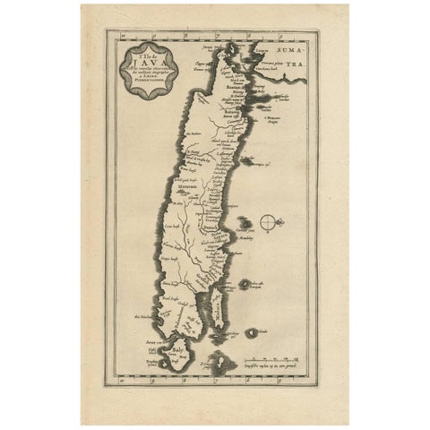
Maps and Sea Charts · Java
Antique Map of the Island of Java, Indonesia by P. Van Der Aa, 1713
1713 · 21.3 × 32.8 cm$760
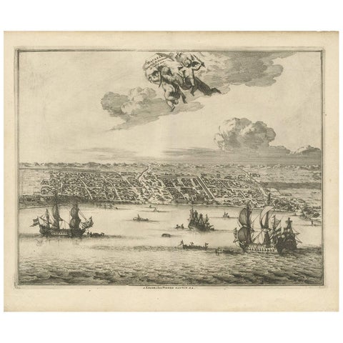
Towns and Landscapes · Celebes
Antique Print of Makassar 'South Sulawesi, Indonesia' by P. van der Aa
circa 1725 · 39.7 × 32.7 cm$745
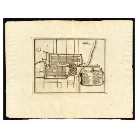
Maps and Sea Charts · Java
Antique Plan of Batavia, Capital of the Dutch East Indies, by Van Der Aa, 1725
1725 · 49 × 38 cm$640
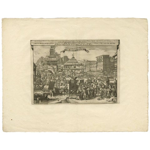
Towns and Landscapes · Java
Antique Print of Trade and Merchandise at Bantam, Indonesia by P. Van Der Aa
Date not stated · 49.5 × 38.5 cm$535
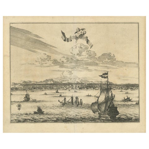
Towns and Landscapes · Moluccas
Antique Print of Amboina by Van der Aa, circa 1725
1725 · 39.5 × 33 cm$505
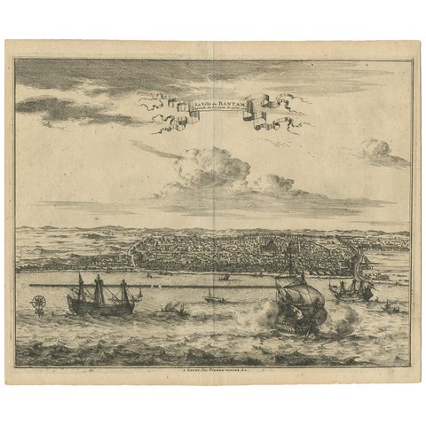
Towns and Landscapes · Java
Antique Print of Bantam by Van der Aa, circa 1725
1725 · 37 × 30.5 cm$505
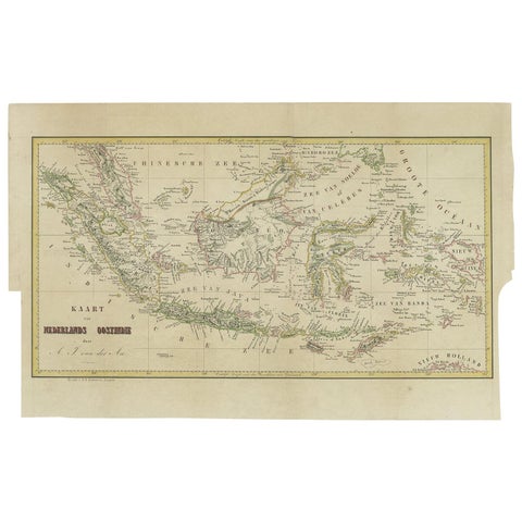
Maps and Sea Charts
Antique Map of the East Indies by Van der Aa '1849'
1849 · 57.5 × 36 cm$450
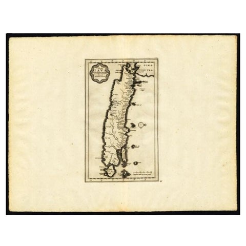
Maps and Sea Charts · Java
Antique Map of the Island of Java by Van Der Aa, 1725
1725 · 49 × 38 cm$440
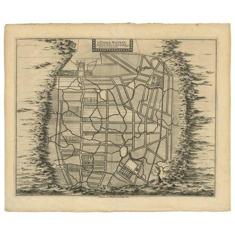
Maps and Sea Charts · Java
Antique Map of the City of Materan 'Indonesia' by P. van der Aa, circa 1725
1725 · 40.2 × 33 cm$440
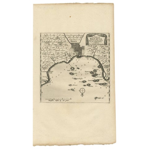
Maps and Sea Charts · Java
Antique Map of Batavia, Jakarta, Indonesia by P. Van Der Aa, 1719
1719 · 19 × 33 cm$410
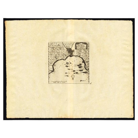
Maps and Sea Charts · Java
Antique Map of the Roadstead of Batavia by Van der Aa, 1725
1725 · 49 × 38 cm$345
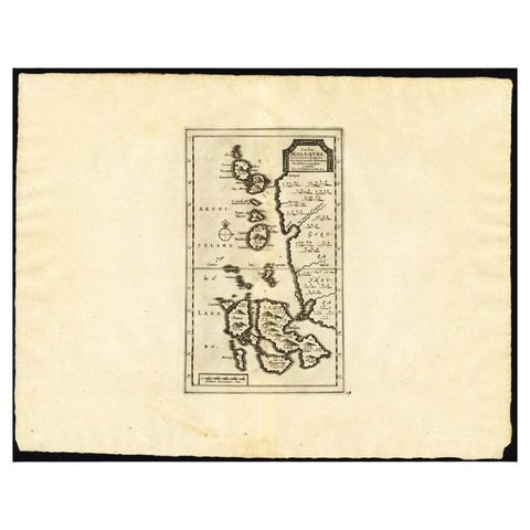
Maps and Sea Charts · Moluccas
Antique Map of the Maluku Islands by Van der Aa, 1725
1725 · 49 × 38 cm$295
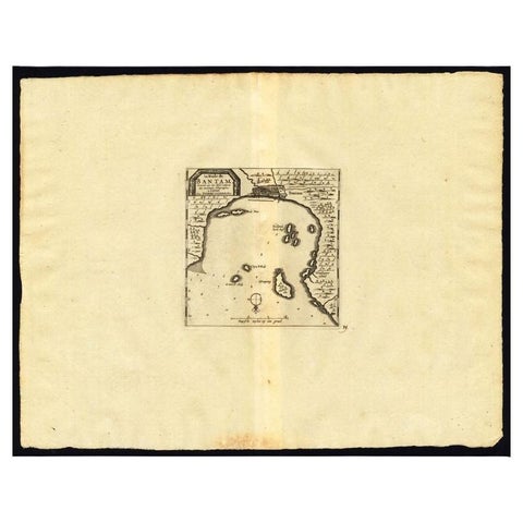
Maps and Sea Charts · Java
Antique Map of the Roadstead of Bantam by Van der Aa, 1725
1725 · 49 × 38 cm$295
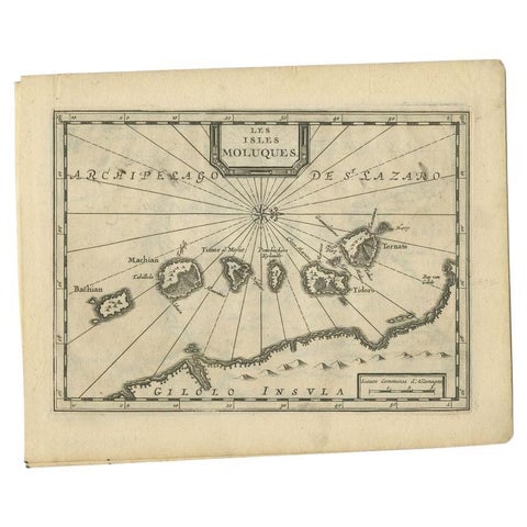
Maps and Sea Charts · Moluccas
Antique Map of the Maluku Islands by Van der Aa, 1714
1714 · 23.3 × 18.5 cm$225
More to explore
Makers and books