Collection
Maps and Sea Charts
Maps and charts of the archipelago from Münster's woodcut of Sumatra of about 1590 to the Dornseiffen atlas of 1884: Blaeu and Janssonius, Valentijn's island maps of 1726, Bellin and Mannevillette for the French navy, and the town plans of Batavia.
31 sheets
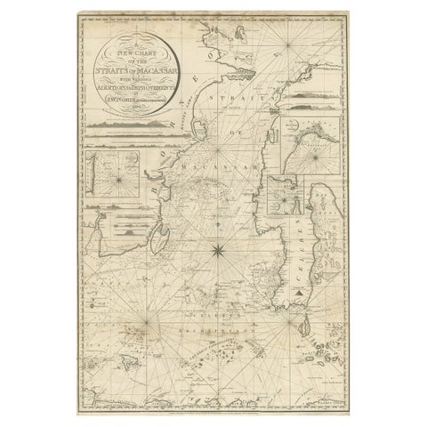
Maps and Sea Charts · Celebes
Antique Map of Straits of Makassar by J.W. Norie, Engraved Chart, 1820
1820 · 66 × 96 cm$3,080
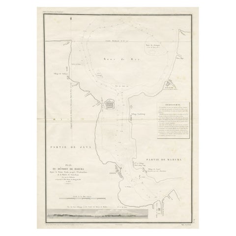
Maps and Sea Charts · Java
Detailed Map of the Madura Strait, between Java & Madura Island, Indonesia, 1825
1825 · 50.5 × 68 cm$1,400
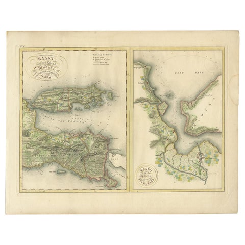
Maps and Sea Charts · Java
Antique Map of Madura and Surabaya by Van den Bosch, '1818'
1818 · 58 × 46 cm$1,235
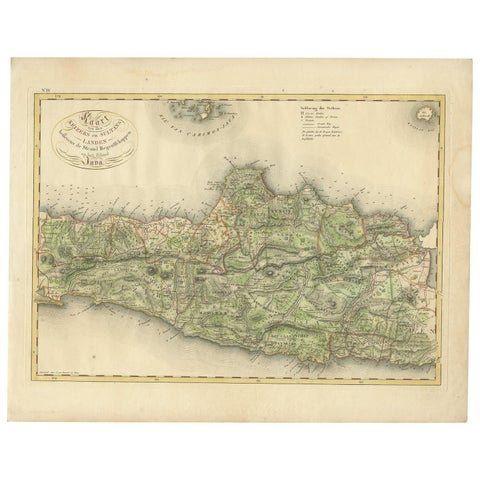
Maps and Sea Charts · Java
Antique Map of Central and East Java by Van den Bosch, 1818
1818 · 58 × 46 cm$1,235
Maps and Sea Charts · Java
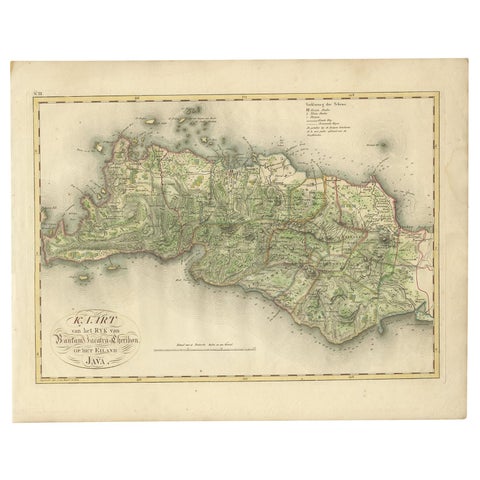
Antique Map of Bantam, Jakarta and Cirebon by Van den Bosch '1818'
1818 · 58 × 46 cm$1,235
Maps and Sea Charts · Moluccas
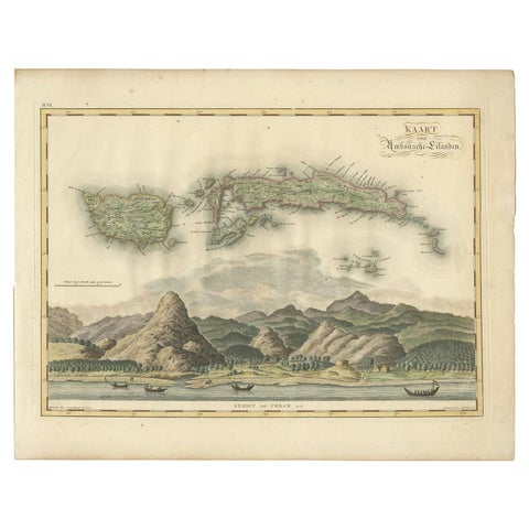
Antique Map of Seram, Boero and the Banda Islands by Van den Bosch '1818'
1818 · 58 × 46 cm$1,205
Maps and Sea Charts · Lesser Sunda
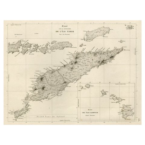
Rare Antique Map with Timor and Nearby Islands Plus an Inset of Hawaii, 1825
1825 · 50 × 34 cm$950
Maps and Sea Charts · Moluccas
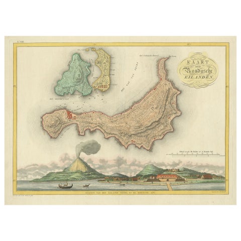
Colonial Cartography: The Banda Islands, the Epicenter of the Spice Trade, 1818
1818 · 61.5 × 49.2 cm$940
Maps and Sea Charts
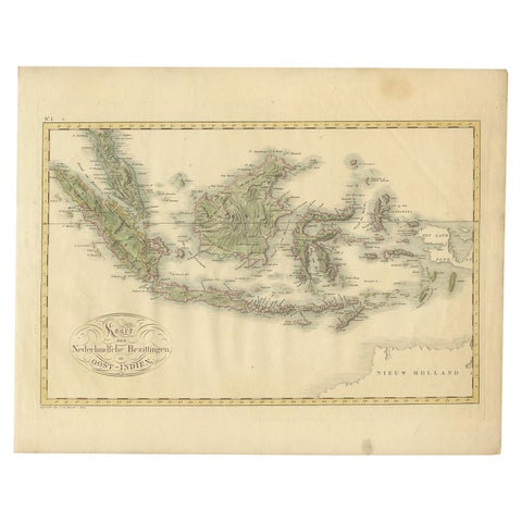
Antique Map of the Dutch East Indies by Van den Bosch '1818'
1818 · 58 × 46 cm$935
Maps and Sea Charts · Java
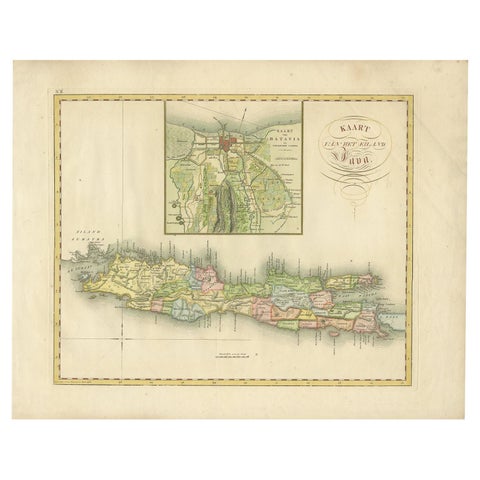
Antique Map of Java and Batavia of nowadays Indonesia, '1818'
1818 · 58 × 46 cm$930
Maps and Sea Charts · Moluccas
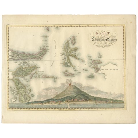
Antique Map of the Ternate Islands by Van den Bosch '1818'
1818 · 58 × 46 cm$930
Maps and Sea Charts
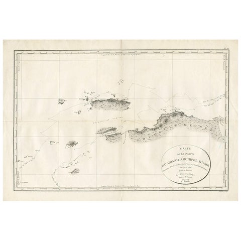
Antique Map of Indonesia by C.F. Beautemps-Beaupre, circa 1807
1807 · 84 × 57.5 cm$840
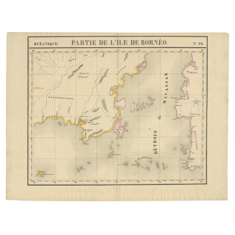
Maps and Sea Charts · Borneo
Antique Map of Part of Borneo 'Kalimantan' Indonesia, by Vandermaelen, C.1825
1825 · 70 × 53 cm$695
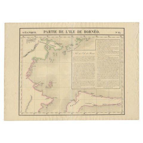
Maps and Sea Charts · Borneo
Antique Map of Part of Borneo 'Kalimantan' Indonesia by Vandermaelen, C.1825
1825 · 72 × 53 cm$695
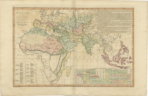
Maps and Sea Charts
Islamic World Map with Africa, Middle East, India, Indies, Wilkinson 1817
1817 · 52.8 × 34.2 cm$660
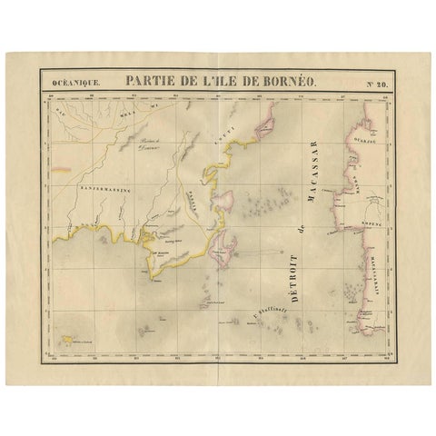
Maps and Sea Charts · Borneo
Antique Map of Southeast Borneo by P.M.G. Vandermaelen, 1827
1827 · 67 × 53 cm$630
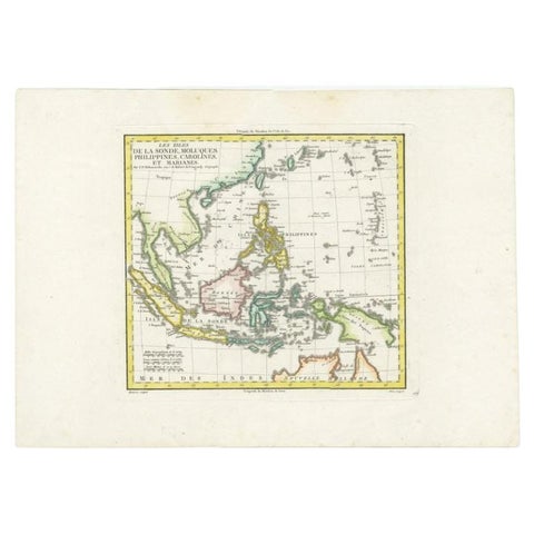
Maps and Sea Charts
Antique Map of Dutch East Indies (Indonesia) by C.F. Delamarche, Circa 1806
1806 · 57 × 44 cm$625
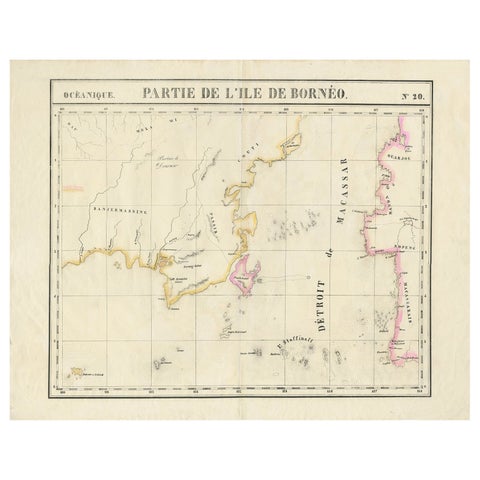
Maps and Sea Charts · Borneo
Detailed Antique Map of a Portion of Borneo and Sulawesi in Indonesia, c.1825
1825 · 69 × 53.5 cm$605
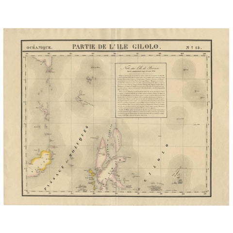
Maps and Sea Charts · Celebes
Antique Map of Southern Mindanao, Sulawesi and Gilolo Halmahera, Indonesia, 1827
1827 · 68 × 53 cm$585
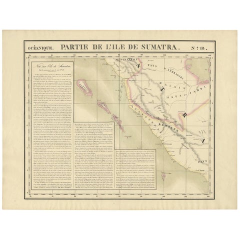
Maps and Sea Charts · Sumatra
Antique Map of West Sumatra by P.M.G. Vandermaelen, 1827
1827 · 69.6 × 53.4 cm$555
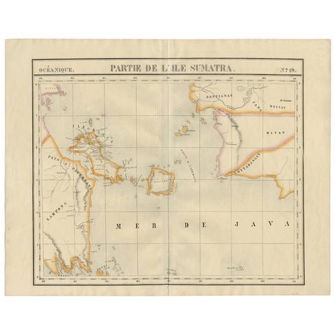
Maps and Sea Charts · Sumatra
Antique Map of South Sumatra by P.M.G. Vandermaelen, 1827
1827 · 67.4 × 53 cm$555
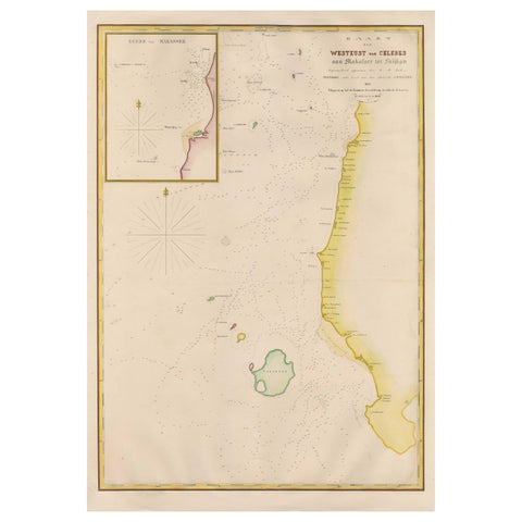
Maps and Sea Charts · Celebes
Large Antique Map of the west coast of Celebes, Sulawesi, Indonesia
1848 · 54.3 × 77.4 cm$480
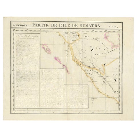
Maps and Sea Charts · Sumatra
Detailed Antique Map of the Western Sumatra, Indonesia, circa 1825
1825 · 67 × 53.5 cm$470
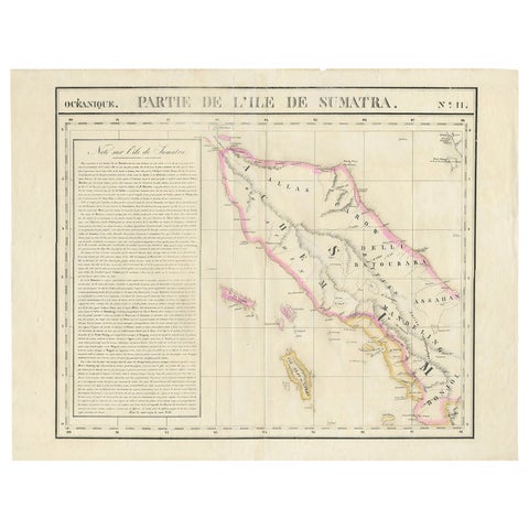
Maps and Sea Charts · Sumatra
Detailed Antique Map of Northern Sumatra, Indonesia, circa 1825
1825 · 68 × 53.5 cm$470
Maps and Sea Charts
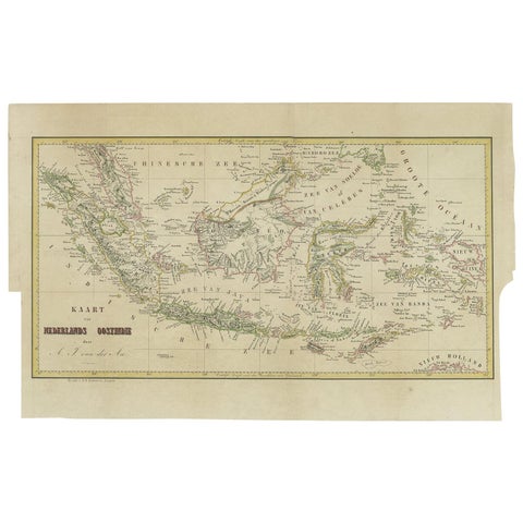
Antique Map of the East Indies by Van der Aa '1849'
1849 · 57.5 × 36 cm$450
Maps and Sea Charts · Borneo
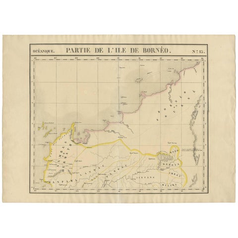
Antique Map of Borneo and Malaysia by P.M.G. Vandermaelen, 1827
1827 · 72.8 × 53 cm$440
Maps and Sea Charts
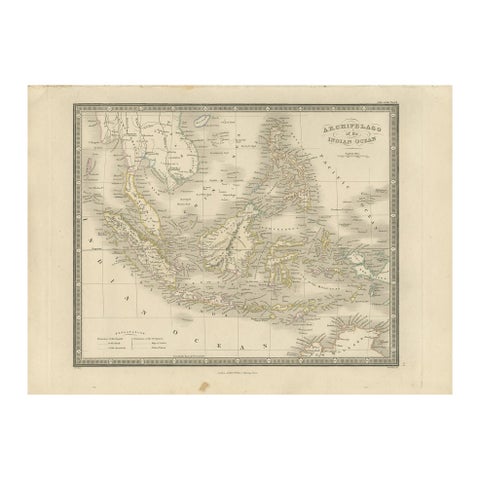
Antique Map of the East Indies by Wyld '1845'
1845 · 36 × 26 cm$390
Maps and Sea Charts · Celebes
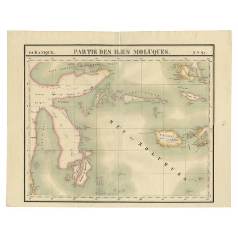
Old Map of the Moluccas and Part of Sulawesi Indonesia by Vandermaelen, c 1825
1825 · 67 × 53 cm$380
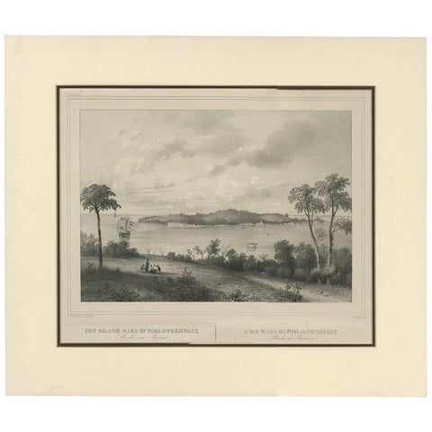
Maps and Sea Charts · Sumatra
Antique Print of the Roadstead of Riau 'Indonesia' by C.W.M. van de Velde, 1844
1844 · 47 × 40 cm$365
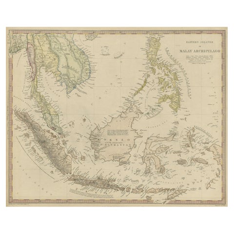
Maps and Sea Charts
Original Antique Map of the Dutch East Indies, Nowadays Indonesia, ca.1840
1840 · 41 × 34.5 cm$270
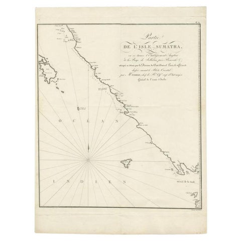
Maps and Sea Charts · Sumatra
Antique Map of Sumatra by Tardieu, 1811
1811 · 40.5 × 53 cm$265