Collection
Maps and Sea Charts
Maps and charts of the archipelago from Münster's woodcut of Sumatra of about 1590 to the Dornseiffen atlas of 1884: Blaeu and Janssonius, Valentijn's island maps of 1726, Bellin and Mannevillette for the French navy, and the town plans of Batavia.
139 sheets
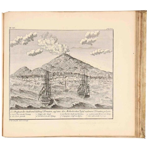
Maps and Sea Charts
VOC Atlas of Africa and East Indies by J.W. Heydt, Homann Heirs, 1744
1744 · 36.5 × 32.5 cm$15,000
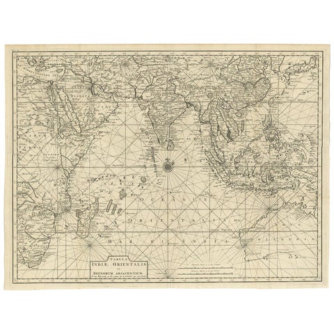
Maps and Sea Charts
Antique Map of South East Asia, Australia and the Indian Ocean, 1726
1726 · 69 × 52.5 cm$8,060
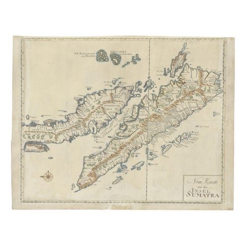
Maps and Sea Charts · Sumatra
Antique Map of Sumatra, Indonesia 'c.1780'
1780 · 63 × 49.5 cm$3,920
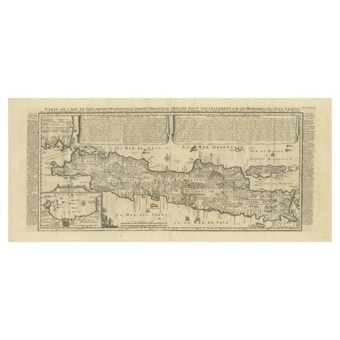
Maps and Sea Charts · Java
Antique Map of Java by Henri Chatelain, Decorative Print, 1718, France
1718 · 44 × 98 cm$2,965
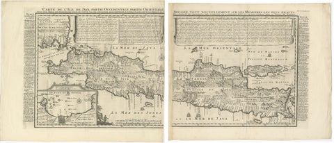
Maps and Sea Charts · Java
Antique Map of Java 'Indonesia' by Chatelain, 1719
1719 · 103.5 × 89 cm$2,800
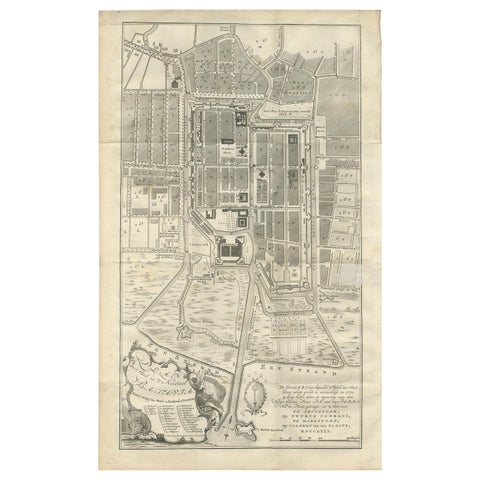
Maps and Sea Charts · Java
Antique Plan of Batavia by Van Krevelt, circa 1780
1780 · 45 × 69 cm$2,800
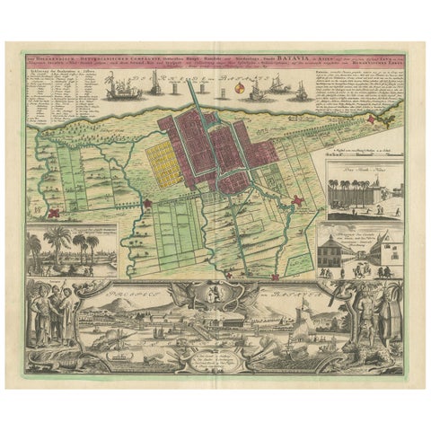
Maps and Sea Charts · Java
Antique Map and Views of Batavia by Homann Heirs, '1733'
1733 · 61 × 51 cm$2,800
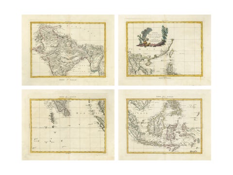
Maps and Sea Charts
Antique Map Set East Indies, India, Indochina, Indonesia, Zatta 1784
1784 · 50 × 38 cm$2,795
Maps and Sea Charts · Java
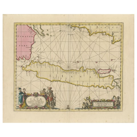
Antique Map of Java, Sumatra & Borneo, Dutch East Indies Sea Chart c.1700
1700 · 61.5 × 51.2 cm$2,520
Maps and Sea Charts
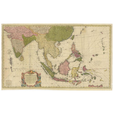
Rare 18th-Century Hand-Colored Map of Southeast Asia and the East Indies, 1748
1748 · 88 × 53 cm$2,505
Maps and Sea Charts · Java
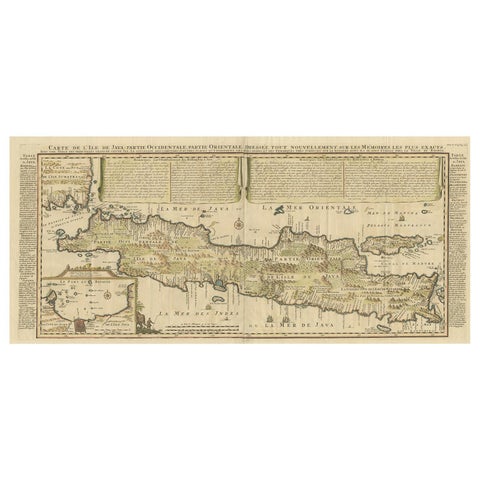
Antique French Map of Java, Indonesia by Chatelain, '1719'
1719 · 93.5 × 44.5 cm$2,140
Maps and Sea Charts · Java
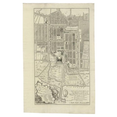
Antique Plan of Batavia, Nowadays Jakarta, Indonesia, 1780
1780 · 47 × 73 cm$2,070
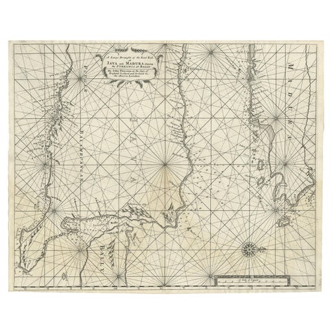
Maps and Sea Charts · Java
Rare Old English Sea Chart of Part of Indonesia with Java, Madura and Bali, 1711
1711 · 55.3 × 45 cm$1,845
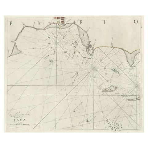
Maps and Sea Charts · Java
Two Antique Sea Charts of the Thousand Islands between Batavia and Bantam, c1734
1734 · 126 × 51 cm$1,845
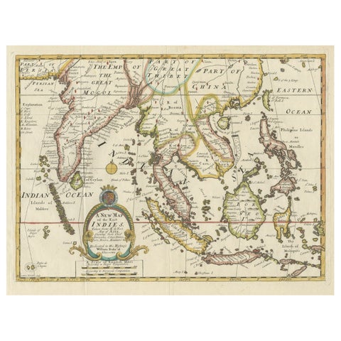
Maps and Sea Charts · Lesser Sunda
Old Map Covering All of Southeast Asia from Persia to the Timor Island, 1712
1712 · 57 × 44 cm$1,680
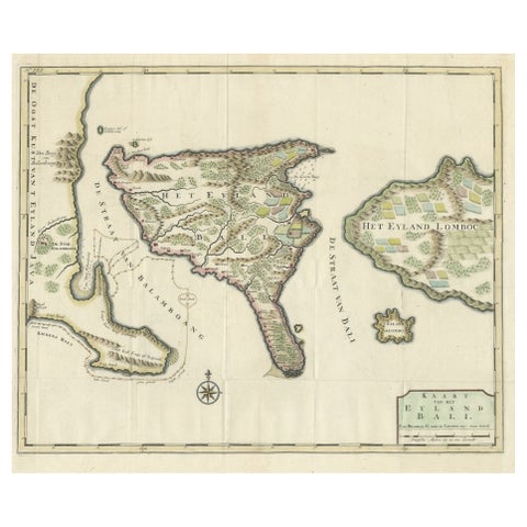
Maps and Sea Charts · Lesser Sunda
1726 Valentyn's Map of Bali and Lombok, Original Engraving
1726 · 62 × 55 cm$1,680
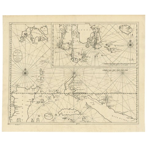
Maps and Sea Charts · Moluccas
Large Antique Detailed Map of a Part of the Spice Islands, Indonesia, 1726
1726 · 64 × 52 cm$1,625
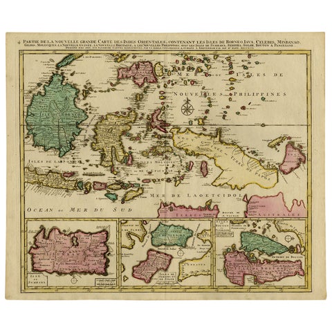
Maps and Sea Charts · Borneo
Old Map of Indonesian Islands Borneo, Celebes, New Guinea & New Britain, 1792
1792 · 66 × 55.3 cm$1,625
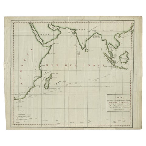
Maps and Sea Charts · Java
Old Map of Indian Ocean & Sumatra, Java, Borneo, India, Arabia, Africa, c.1783
1783 · 64.5 × 53 cm$1,565
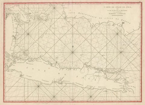
Maps and Sea Charts · Java
Antique Sea Chart Java Indonesia, Mannevillette Neptune Oriental 1775
1775 · 74 × 53.8 cm$1,565
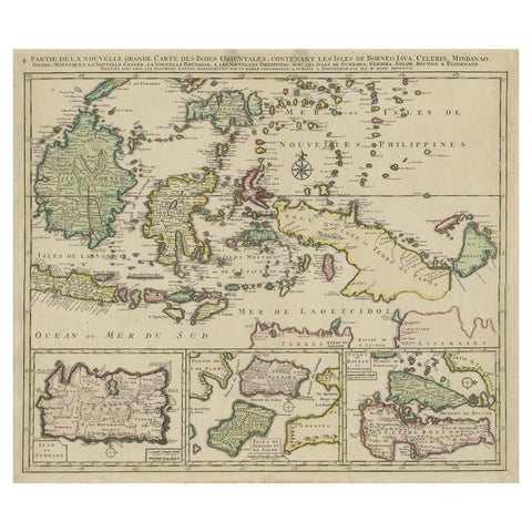
Maps and Sea Charts · Borneo
Old Map of the East Indonesian Islands Borneo, Celebes, New Guinea, Bali, 1792
1792 · 64.5 × 55 cm$1,400
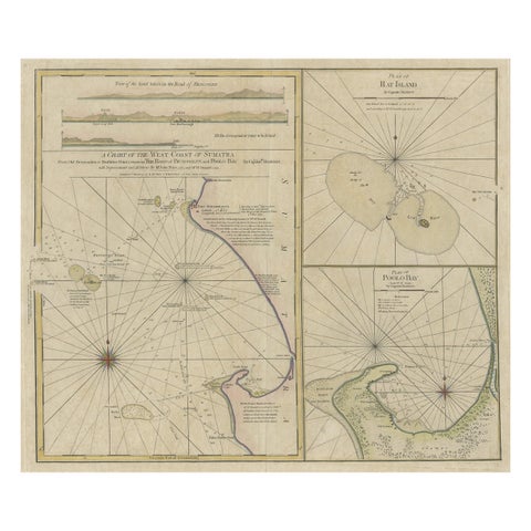
Maps and Sea Charts · Sumatra
Early Chart Identifying British Spice Trading Colony of Bencoolen, Sumatra, 1797
1797 · 71 × 57.5 cm$1,400
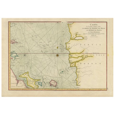
Maps and Sea Charts · Sumatra
Antique Map of the Malacca and Bangka Strait by De Mannevillette '1775'
1775 · 55 × 39.5 cm$1,345
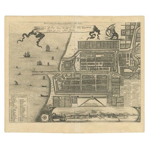
Maps and Sea Charts · Java
Antique Map of the City of Batavia by Van der Aa, circa 1730
1730 · 37.5 × 31 cm$1,345
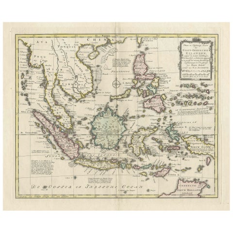
Maps and Sea Charts
Rare Antique Map of the Dutch East Indies 'Indonesia', 1774
1774 · 46 × 60.5 cm$1,345
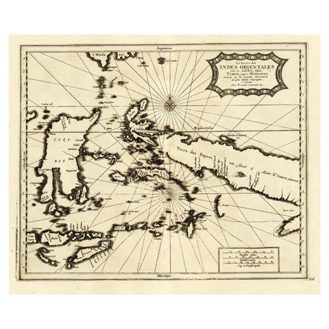
Maps and Sea Charts
Extremely Rare Map of the East-Indies towards the South-East 'Indonesia', 1725
1725 · 49 × 38 cm$1,285
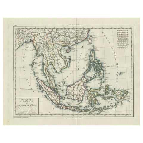
Maps and Sea Charts
1797 Tardieu Map of Southeast Asia: The Malay Archipelago and Beyond
1797 · 48.5 × 64 cm$1,285
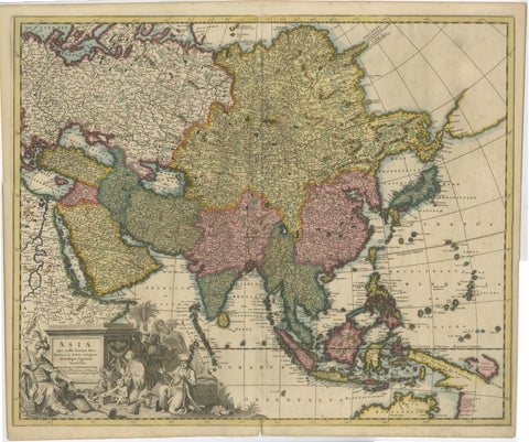
Maps and Sea Charts
Decorative Antique Map of Asia and the East Indies, circa 1720
1720 · 61.7 × 51.4 cm$1,285
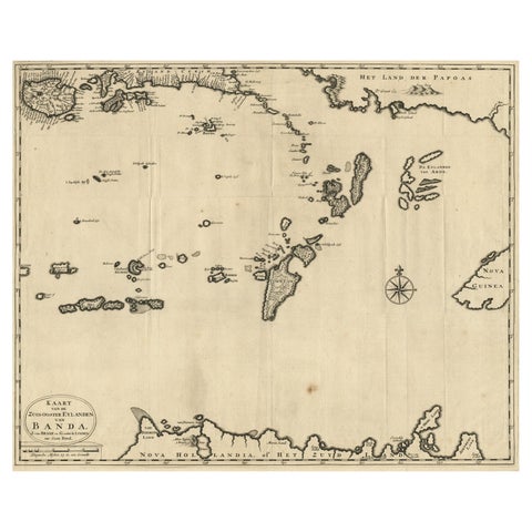
Maps and Sea Charts · Moluccas
Map of the Southeastern Part of the Banda Islands, Incl Northern Australia, 1726
1726 · 58.5 × 47 cm$1,255
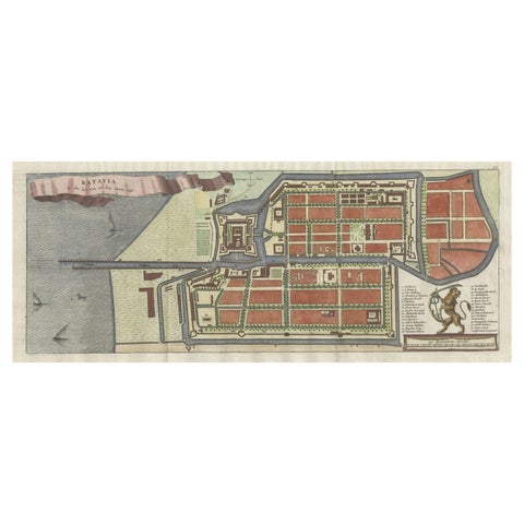
Maps and Sea Charts · Java
Antique Map of Batavia, Nowadays Jakarta, the Capital of Indonesia, 1782
1782 · 53.5 × 25 cm$1,065
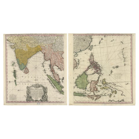
Maps and Sea Charts
1748 Homann Heirs Double Map of the East Indies and Southeast Asia
1748 · 47.5 × 53 cm$1,065
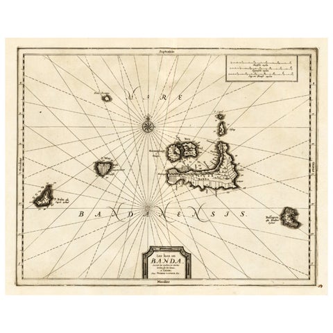
Maps and Sea Charts · Moluccas
Antique Map of the Islands of Banda, Indonesia from a Very Rare Edition, 1725
1725 · 49 × 38 cm$995
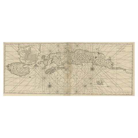
Maps and Sea Charts · Moluccas
Antique Map of the Moluccas or the Famed Spice Islands of Indonesia, 1724
1724 · 81.5 × 35 cm$995
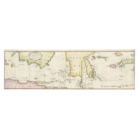
Maps and Sea Charts · Java
Rare Chart of Indonesia Including Borneo, Java, Celebes, Ceram and More, 1779
1779 · 74.5 × 23 cm$995
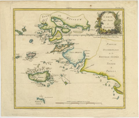
Maps and Sea Charts · New Guinea
Antique Map of Raja Ampat and New Guinea, Bellin, Papuan Islands c.1749
1749 · 44 × 36.5 cm$995
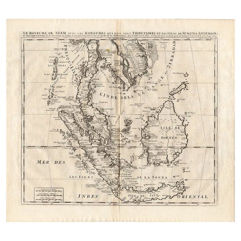
Maps and Sea Charts
Antique Map of Southeast Asia by Chatelain, c.1732
1732 · 50 × 44 cm$965
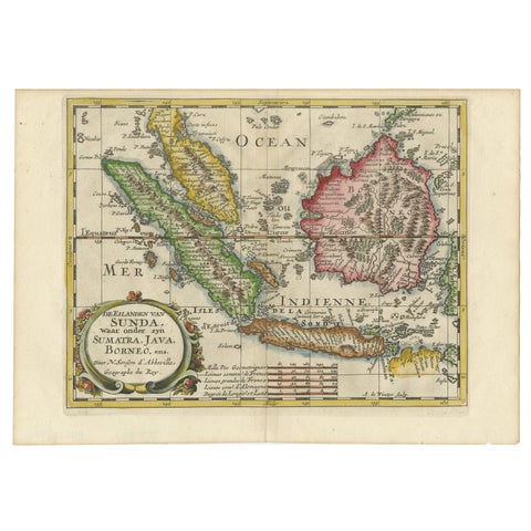
Maps and Sea Charts · Java
Antique Map of the Sunda Islands Including Sumatra, Java, and Borneo, 1705
1705 · 30.2 × 22 cm$965
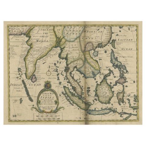
Maps and Sea Charts · Lesser Sunda
Antique Map of Southeast Asia from Persia to the Timor Island, 1712
1712 · 53.5 × 42 cm$885
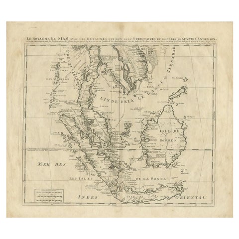
Maps and Sea Charts
Antique Map of Southeast Asia by Chatelain, c.1732
1732 · 51 × 44.5 cm$865
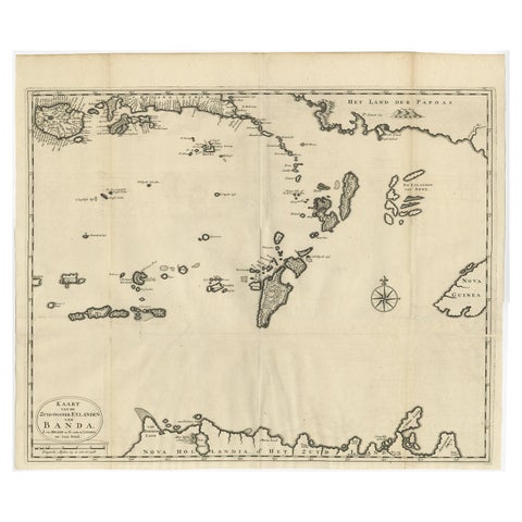
Maps and Sea Charts · Moluccas
Original Antique Map Southeast of the Banda or Spice Islands, Indonesia, 1726
1726 · 59 × 50 cm$860
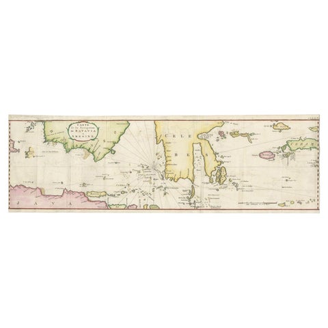
Maps and Sea Charts
Rare Authentic Engraved Map of Large Part of Indonesia by Stavorinus, 1779
1779 · 23 × 74.5 cm$825
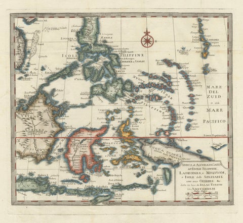
Maps and Sea Charts · Moluccas
Antique Map of the Philippines & Eastern Indonesia: Spice Islands by Tirion 1738
1738 · 48.7 × 37.6 cm$825
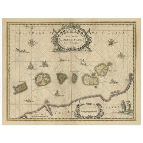
Maps and Sea Charts · Moluccas
Old Map of the Moluccas, Known as the Famous Spice Islands, Indonesia, ca.1730
1730 · 58.4 × 44 cm$770
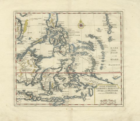
Maps and Sea Charts · Celebes
Antique Map Philippines, Moluccas, Celebes, Spice Islands, Tirion, c.1738
1738 · 48.7 × 37.6 cm$770
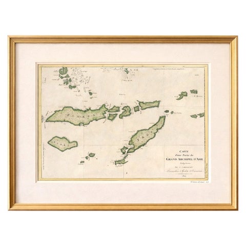
Maps and Sea Charts · Lesser Sunda
Antique Map of Flores, Timor and the Sunda Islands, French, c.1790
1790 · 56 × 32 cm$770
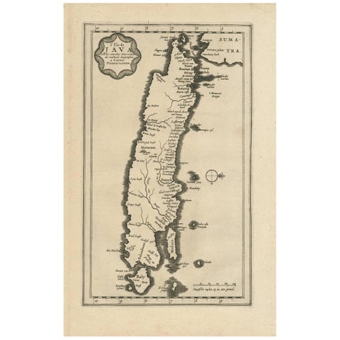
Maps and Sea Charts · Java
Antique Map of the Island of Java, Indonesia by P. Van Der Aa, 1713
1713 · 21.3 × 32.8 cm$760
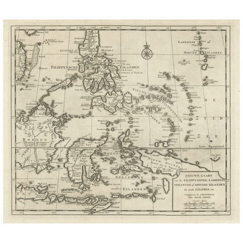
Maps and Sea Charts · Moluccas
Old Map of the Philippines and Part of Indonesia 'Spice Islands', 1744
1744 · 40 × 33.5 cm$740
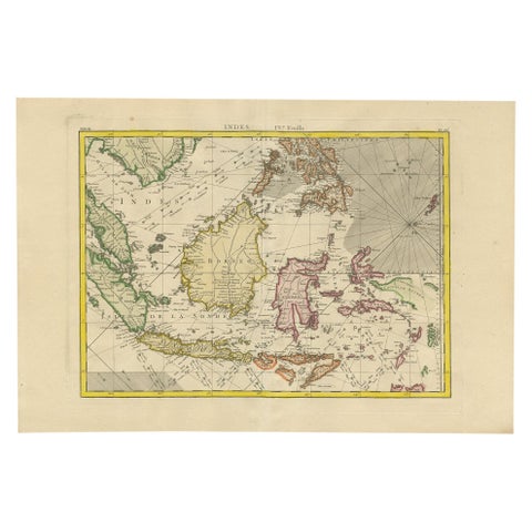
Maps and Sea Charts
Antique Map of the East Indies by Bonne '1776'
1776 · 37 × 54 cm$730