Close-ups
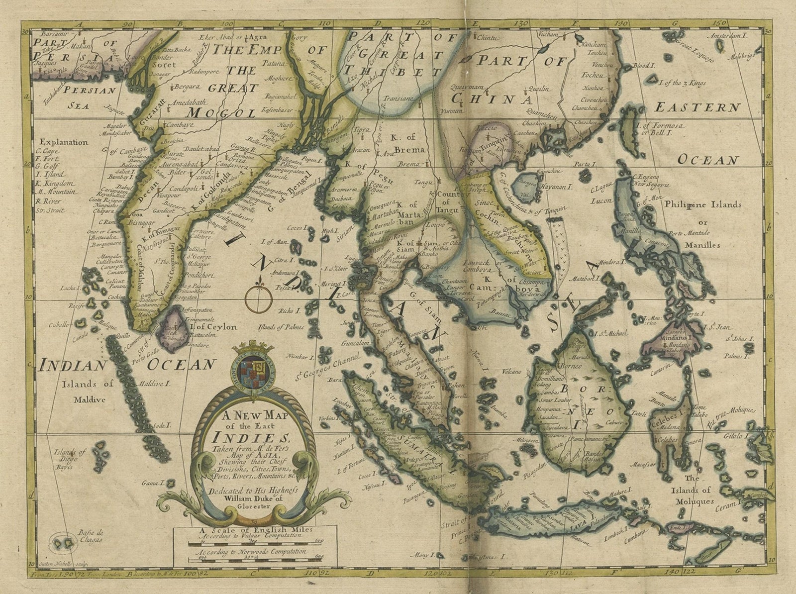
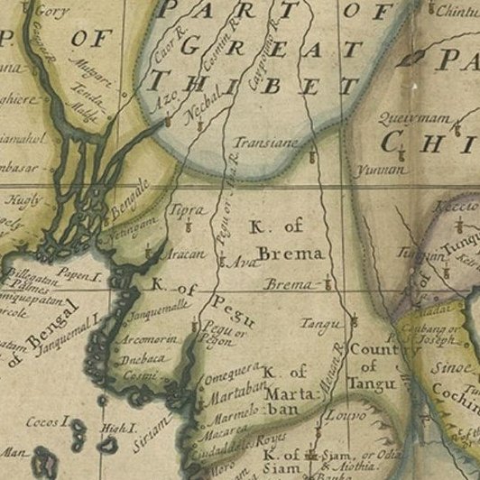
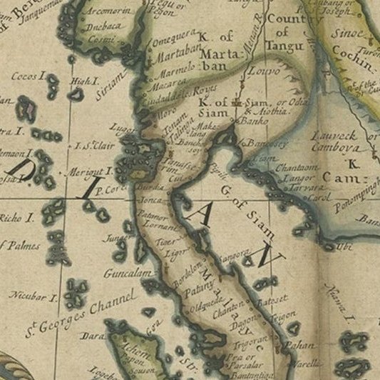
Framed and on the wall
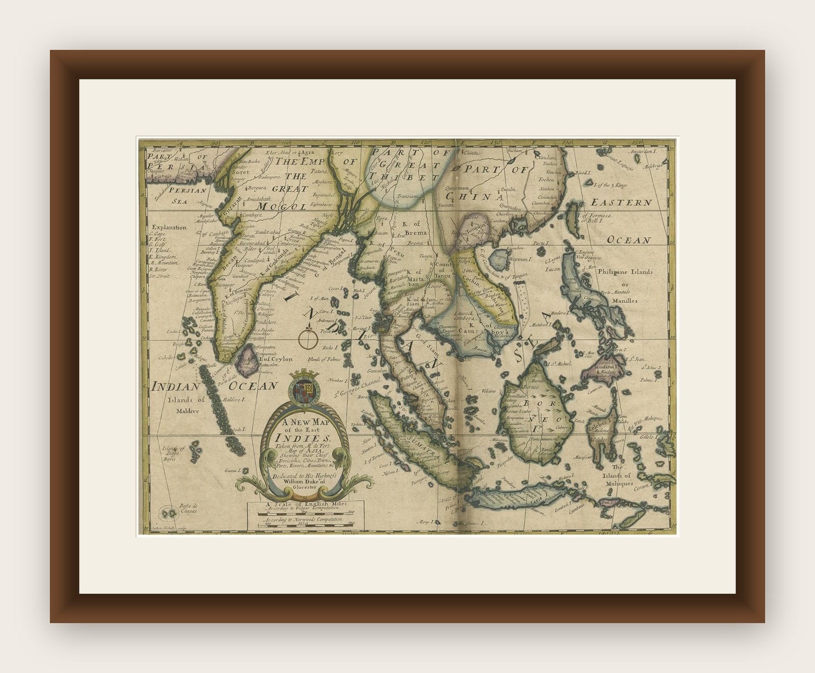


Frame and rooms are illustrations of how the print could look, drawn to its real size; it is sold unframed unless the description says otherwise.
Maps and Sea Charts
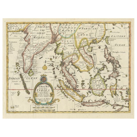
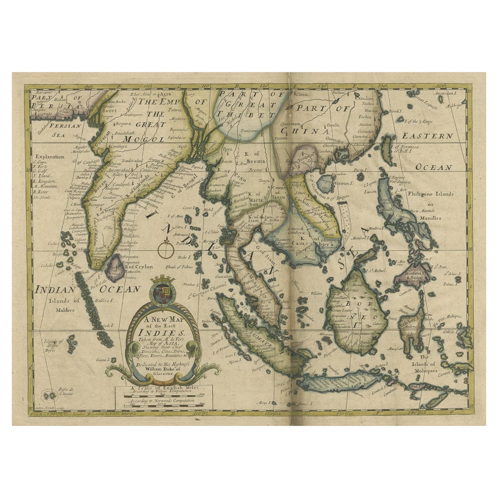
Antique Map of Southeast Asia from Persia to the Timor Island, 1712
£660
$885 · €790
Original print, not a reproduction
Ships worldwide from the Netherlands, insured and tracked. 14-day returns.
- Date
- 1712
- Sheet size
- 16.5 × 21.1 in (42 × 53.5 cm)
- Condition
- Fair. Age-related toning. Repair on folding line and lower margin, some other defects and creasing. Blank verso, please study image carefully.
- Island
- Lesser Sunda
- Collection
- Maps and Sea Charts
- Period
- The Company, 1700 to 1799
- Stock no.
- f_27593582
What the condition grades mean
- Excellent
- Bright and clean, with no faults worth mentioning.
- Very good
- Only light signs of age, such as faint toning.
- Good
- Normal signs of age for a sheet of this period: toning, some foxing, small marks or neat old repairs.
- Fair
- Clear faults such as staining, tears or repairs, priced to match.
Every fault we see is written in the condition note, and the whole sheet is shown uncropped in the photos.
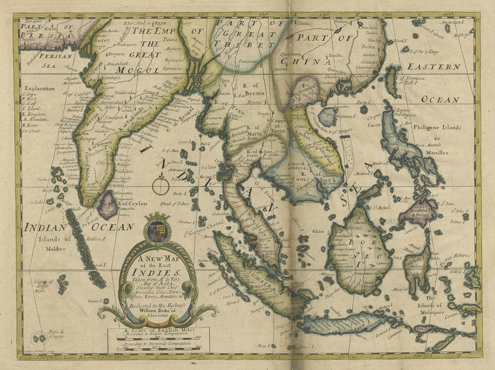
Antique map titled 'A New Map of the East Indies'.
Old map covering all of Southeast Asia from Persia to the Timor Island, inclusive of the modern day nations of India, Ceylon, Thailand, Burma (Myanmar), Malaysia, Cambodia, Vietnam, Laos, Indonesia, Borneo, and the Philippines. Based on Nicholas De Fer's map of Asia, the map renders the region in detail offering both topographical and political information with mountains beautifully rendered in profile. The Island of Singapore is shown but not labeled. Bali (Baly) and Lombok (Lombock) as well as Batavia are identified. Most of the Great Sunda Islands as well as the Lesser Sunda Islands, which were largely unexplored well into the 19th century, are mapped speculatively. Depicts a fairly narrow India and a misshaped Taiwan. This map originates from 'A New Sett of Maps both of Ancient and Present Geography' by E. Wells.
Artists and Engravers: Edward Wells (1667, 1727) was an English mathematician, geographer, and classical scholar based at Christ Church College, Oxford. Well's was trained for the ministry but quickly found himself unsuited to religious life and instead applied for an academic position at Oxford, where he authored numerous well respected works on a wide range of mathematical and scientific topics. He was chosen to tutor the young Prince William, the sickly son of Queen Anne. The two must have been quite close for Well's dedicated nearly all of the maps in his most important atlas, A New Sett of Maps both of Ancient and Present Geography. Sadly, he young prince died in July of 1700 shortly before the atlas was published. Nonetheless, Wells' geography proved popular and was published in number editions well into the 1730s.
Explore