Close-ups
Framed and on the wall
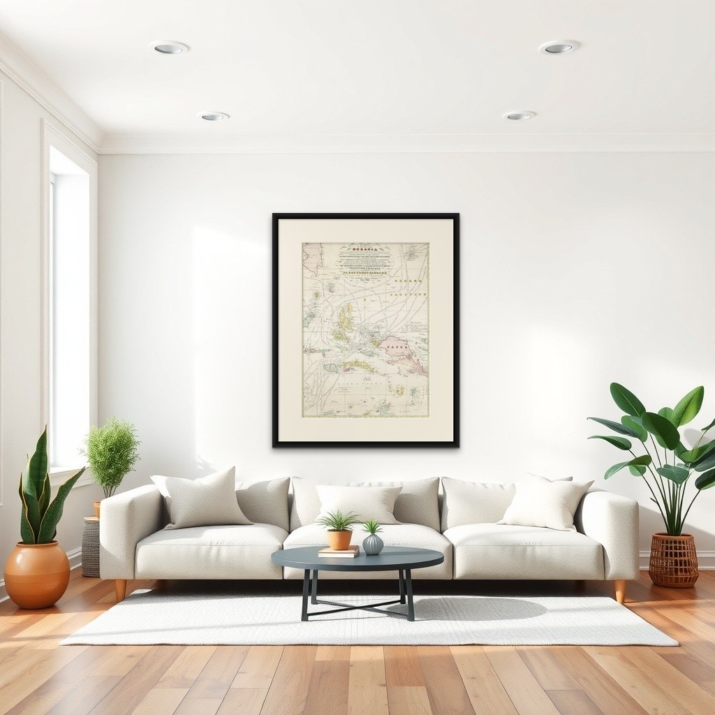
Frame and rooms are illustrations of how the print could look, drawn to its real size; it is sold unframed unless the description says otherwise.
Maps and Sea Charts
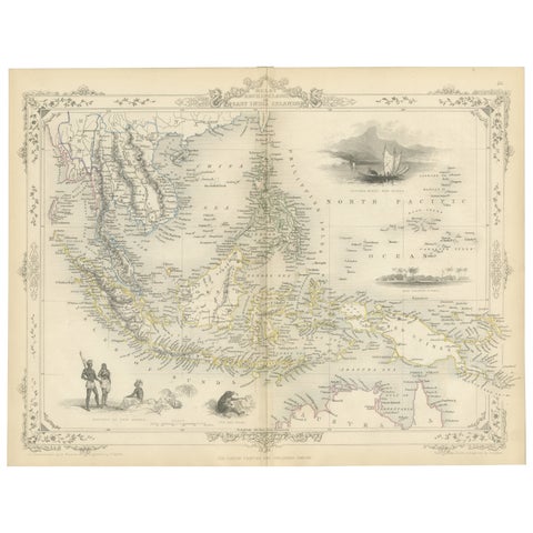
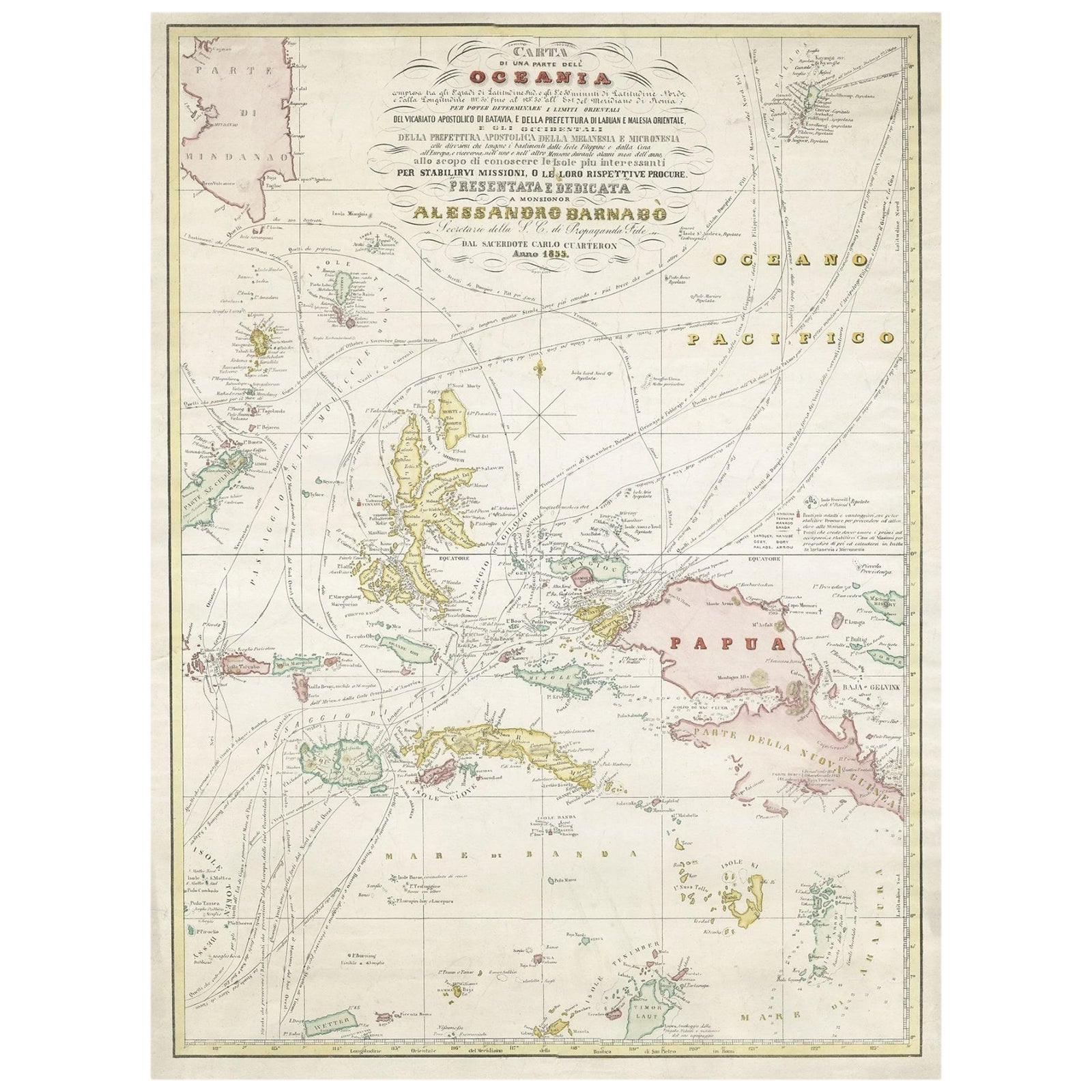
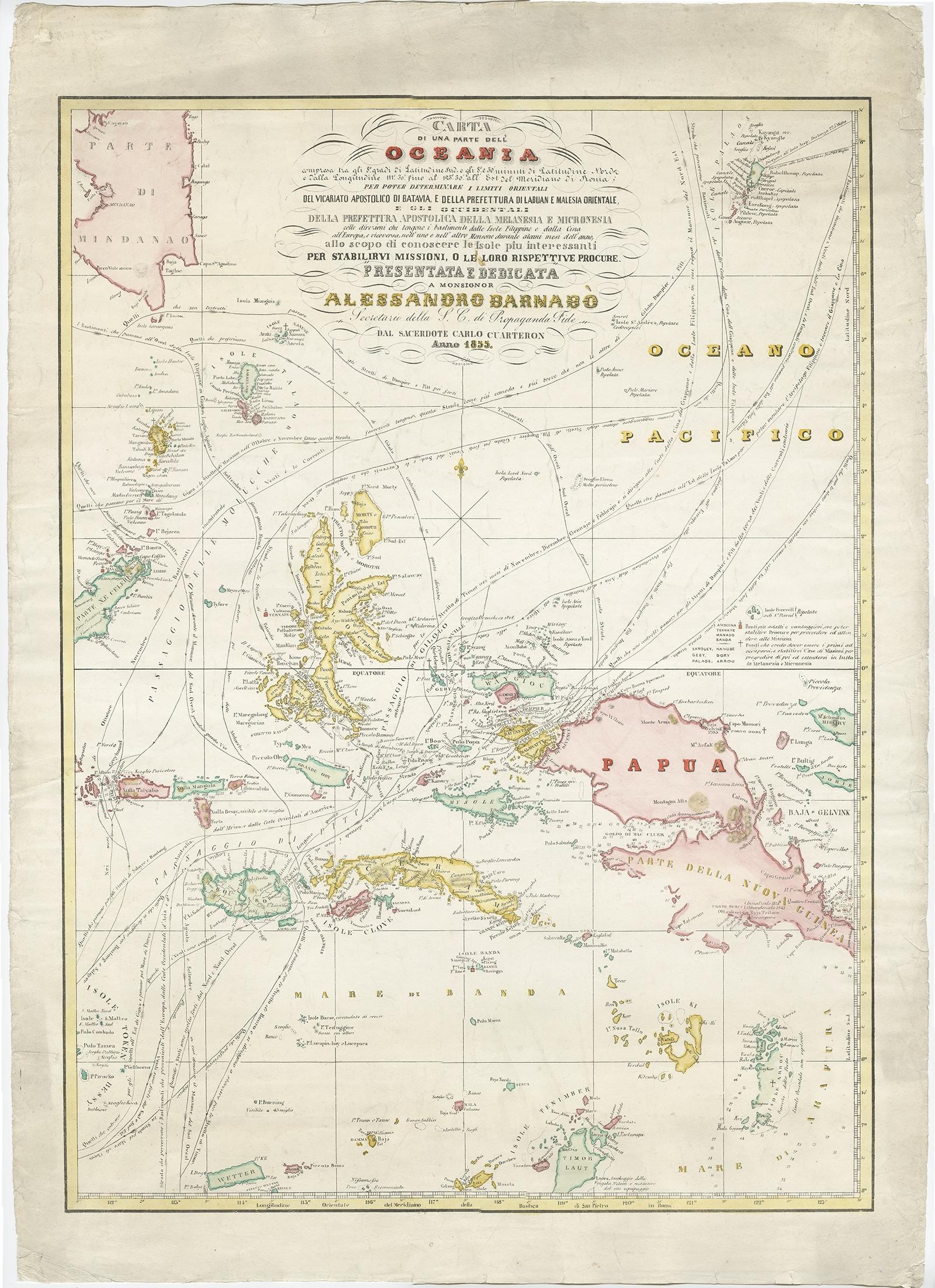
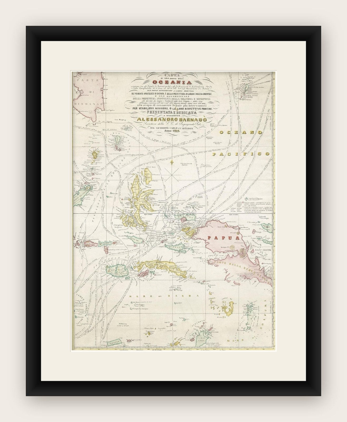
Large Italian Map of Islands of Oceania, incl Papua, Timor, Banda, Ceram, 1855
Ceram is now Seram.
€2,650
$2,965 · £2,220
Original print, not a reproduction
Ships worldwide from the Netherlands, insured and tracked. 14-day returns.
- Date
- 1855
- Sheet size
- 29.1 × 21.3 in (74 × 54 cm)
- Condition
- Good
- Island
- Moluccas, Lesser Sunda, New Guinea
- Place names
- Ceram is now Seram
- Collection
- Maps and Sea Charts
- Period
- Netherlands Indies, 1850 and after
- Stock no.
- f_26499602
What the condition grades mean
- Excellent
- Bright and clean, with no faults worth mentioning.
- Very good
- Only light signs of age, such as faint toning.
- Good
- Normal signs of age for a sheet of this period: toning, some foxing, small marks or neat old repairs.
- Fair
- Clear faults such as staining, tears or repairs, priced to match.
Every fault we see is written in the condition note, and the whole sheet is shown uncropped in the photos.
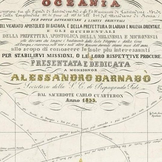
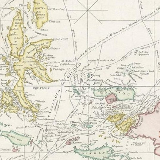
Description: Antique map titled 'Carta di una parte dell'Oceania'. Beautiful large map of the (Spice) islands of Oceania. Depicting Papua, Timor, Ceram, Gilolo and many more. Source unknown, to be determined. More research to be done. Rare.
Rev. Msgr. Carlos Cuarteron (1816 to 12 March 1880) is mentioned on the Map and potentially took the initiative for the map to be presented to Allesandro Barnabo.
Carlos Cuarteron was a Spanish mariner who later became a priest and established the first Roman Catholic missions in northern Borneo. Born in Cadiz to an Italian father and Spanish mother, Carlos went to sea at the age of 13. He was based in the Philippines and built up his experience on the route between Manila and Macao until he became a full captain in 1841. By February 1844 he had bought his own 146 ton topsail schooner, Il Martiri de Tunkin, and set out to find and salvage a valuable cargo from the wreck of the Christina, which had been reported in July 1842. He succeeded, surrendered (after some delay) the treasure to its insurers in Hong Kong, and was well rewarded.
Having undertaken several voyages in the islands south and east of the Philippines during which he freed several slaves and did some evangelising he became more interested in missionary work and went back to Europe for support and training. In 1855 he was appointed Priest Apostolic to Borneo by the Pope and left for the east in 1856 with two Italian priests to assist him.
The mission was welcomed in Labuan in 1857, and also established stations in Brunei and at Looc Porin (near where Kota Kinabalu is now). However, problems with his assistants left him alone from 1860 and the mission made little progress.
Cuarteron, already ill, resigned his post in Rome in December 1879, then returned to his sister's home in Cadiz, where he died of pneumonia on 12 March 1880.
Artists and Engravers: Anonymous.
Explore