Close-ups
Framed and on the wall
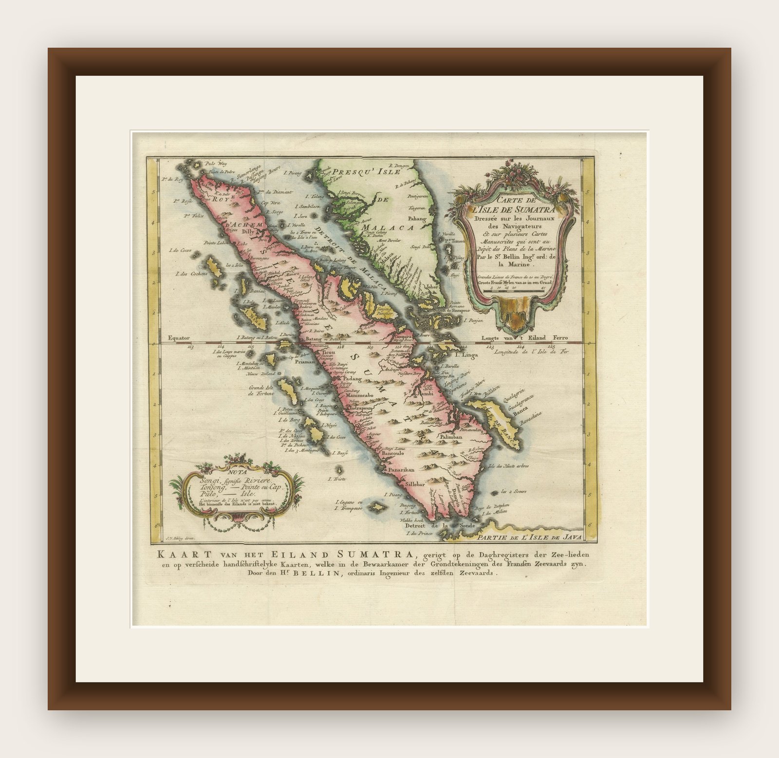
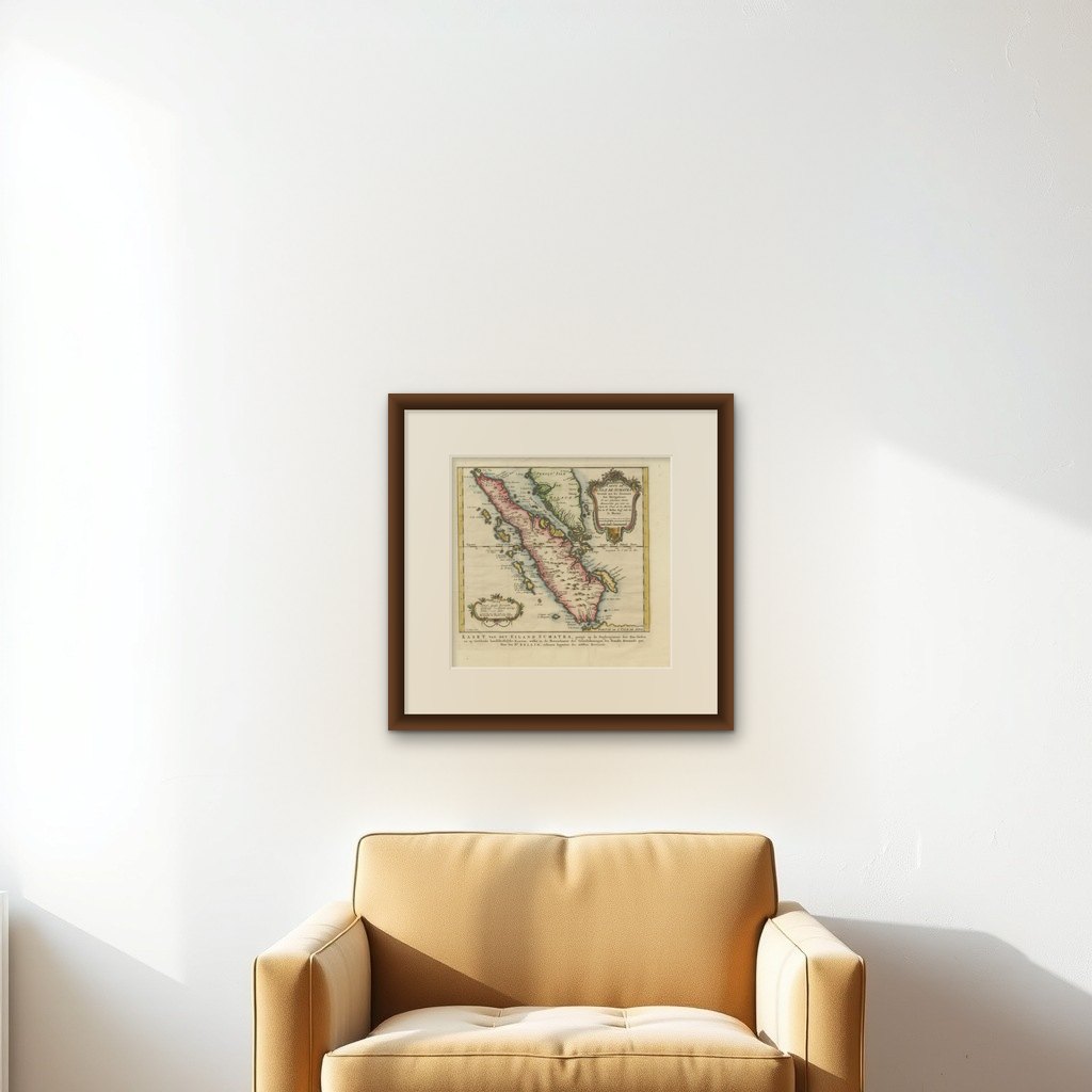

Frame and rooms are illustrations of how the print could look, drawn to its real size; it is sold unframed unless the description says otherwise.
Maps and Sea Charts
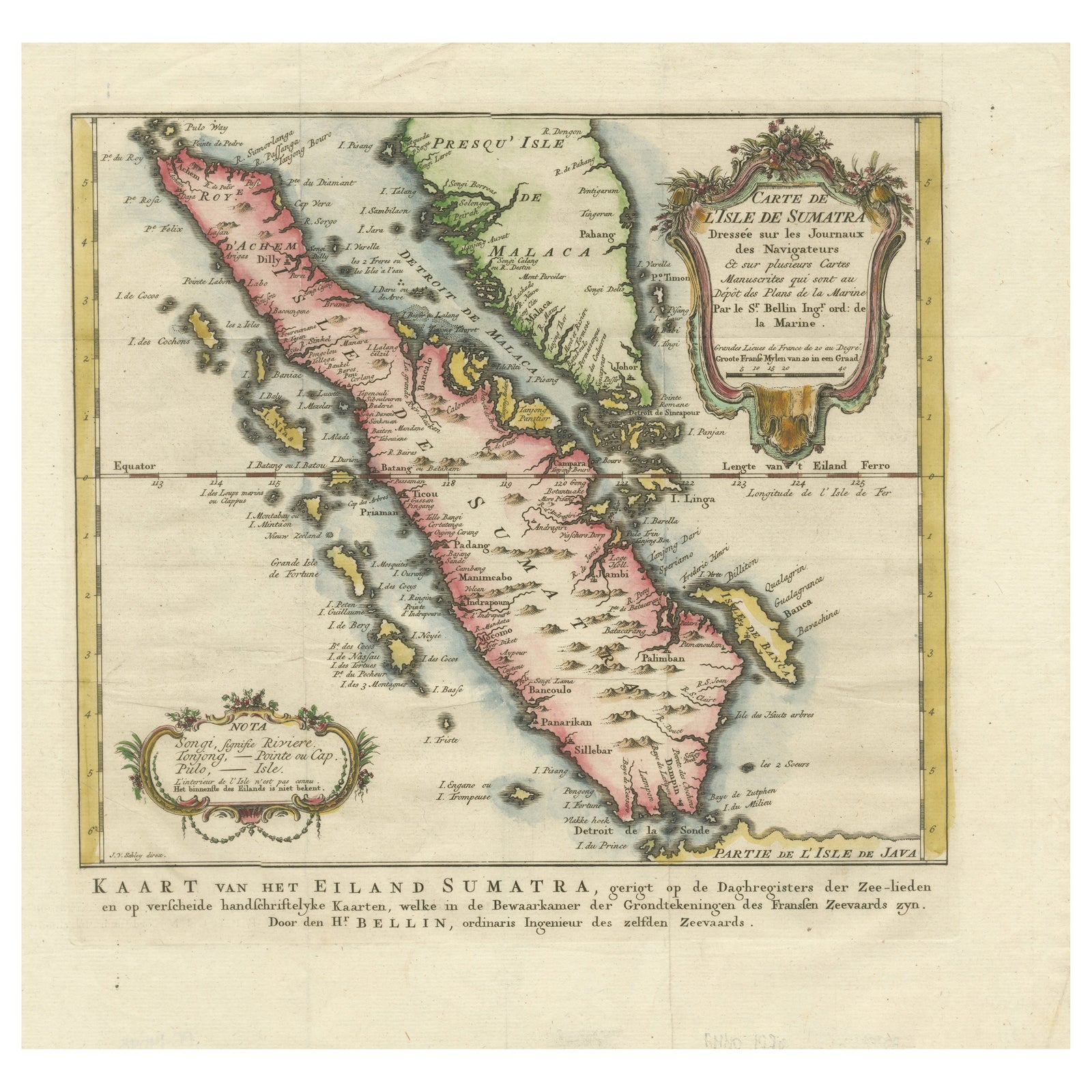
Rare 1770 Bellin Map of Sumatra with Stunning Decorative Cartouches
$615
€550 · £460
Original print, not a reproduction
Ships worldwide from the Netherlands, insured and tracked. 14-day returns.
- Date
- 1770
- Sheet size
- 13.1 × 13.6 in (33.2 × 34.5 cm)
- Condition
- Good. Condition Report: The map is in excellent condition, with strong impressions and vibrant original hand-coloring. Margins are intact, and only minor age-related toning is visible. No significant tears or repairs. Some folds as published.
- Island
- Sumatra
- Collection
- Maps and Sea Charts
- Period
- The Company, 1700 to 1799
- Stock no.
- f_43437812
- Color
- Hand colored
What the condition grades mean
- Excellent
- Bright and clean, with no faults worth mentioning.
- Very good
- Only light signs of age, such as faint toning.
- Good
- Normal signs of age for a sheet of this period: toning, some foxing, small marks or neat old repairs.
- Fair
- Clear faults such as staining, tears or repairs, priced to match.
Every fault we see is written in the condition note, and the whole sheet is shown uncropped in the photos.
Title: 1750 Bellin Map of Sumatra with Decorative Cartouches
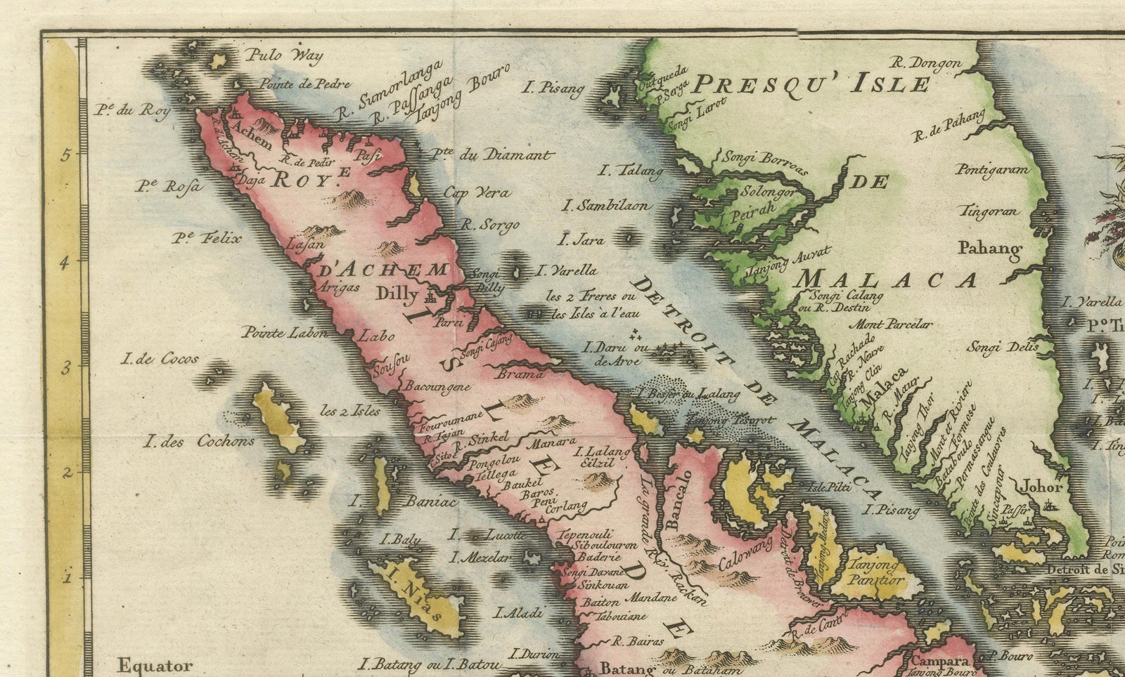
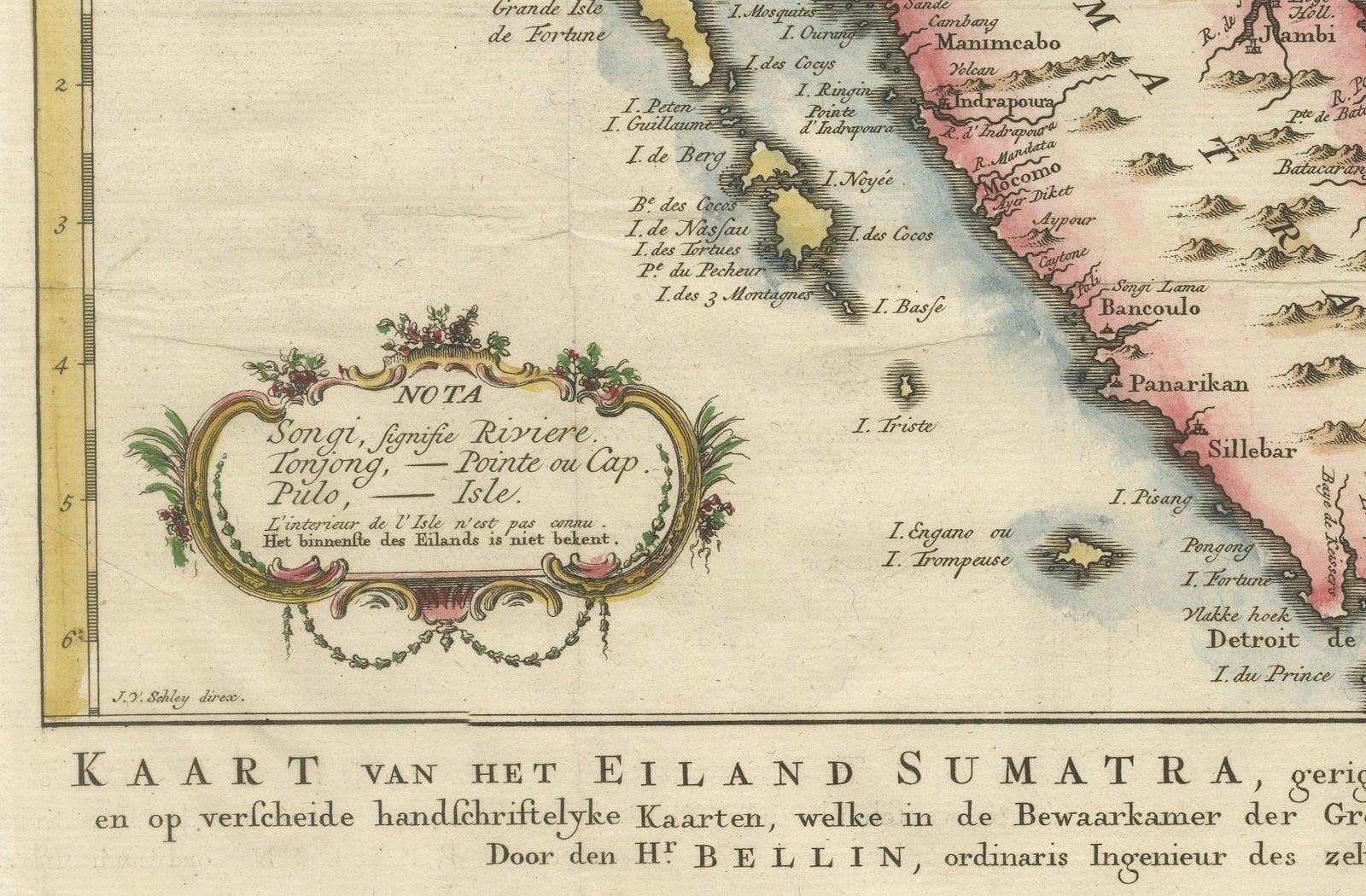
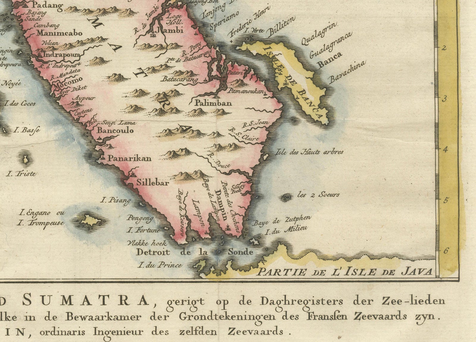
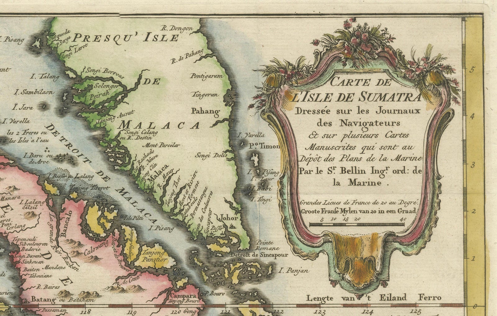
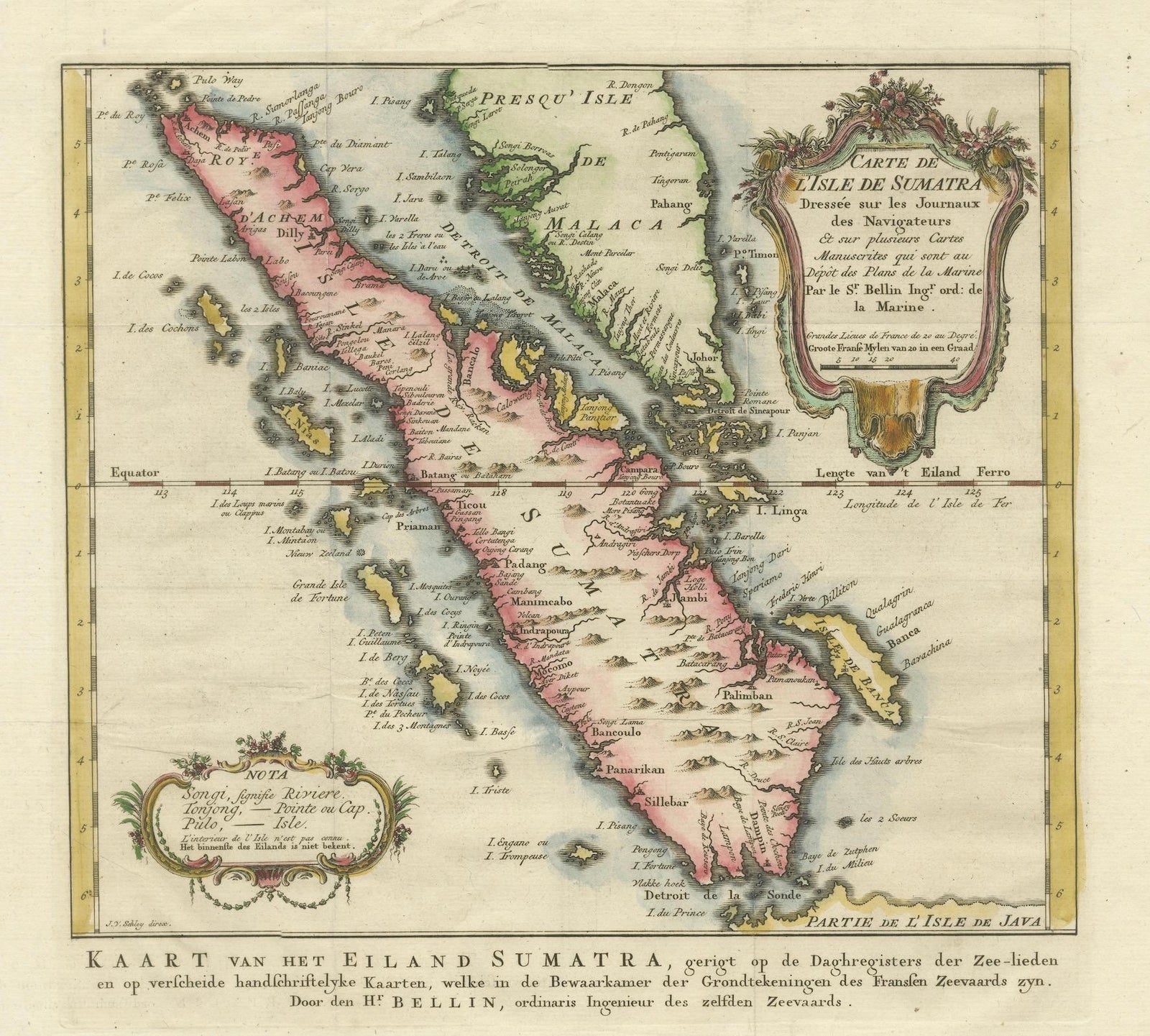
This exquisite 18th-century map of Sumatra, drawn by Jacques-Nicolas Bellin around 1750, is a testament to the artistry and precision of early cartography. The map, titled "Carte de l'Isle de Sumatra," showcases the island in remarkable detail, highlighting its natural features, settlements, and maritime routes. Bellin, a prominent French cartographer, was known for his meticulous work as the chief cartographer of the French Navy, and this piece reflects his dedication to accuracy and aesthetics.
The map is adorned with two decorative cartouches, one framing the title and another showcasing scale and navigational references, adding a touch of elegance to the functional design. The coloring is vibrant yet tasteful, delineating the coastlines, mountains, rivers, and islands with clarity. Key settlements such as Palembang, Batang, and Jambi are prominently marked, as well as neighboring regions like the Malay Peninsula and parts of Java.
This map also provides insight into maritime navigation of the time, with markings of important sea routes and annotations that reflect the knowledge of 18th-century explorers. It is a valuable artifact for collectors of antique maps, especially those focusing on Southeast Asia and maritime history.
Bellin's work was published during a period of intense European interest in Southeast Asia, driven by trade and colonial ambitions. This map not only served as a navigational tool but also as a showcase of the sophistication of French cartography during the Enlightenment era.
Condition Report: The map is in excellent condition, with strong impressions and vibrant original hand-coloring. Margins are intact, and only minor age-related toning is visible. No significant tears or repairs. Some folds as published.
Framing and Matting Tips:
To emphasize the map's decorative cartouches and intricate details, use a double mat in neutral tones such as cream or soft gray. A gold or dark wood frame complements its historical aesthetic. UV-protective glass is recommended to preserve the colors and prevent fading. Including a descriptive plaque or label highlighting its historical and cartographic significance would make it a captivating display piece.