Close-ups
Framed and on the wall
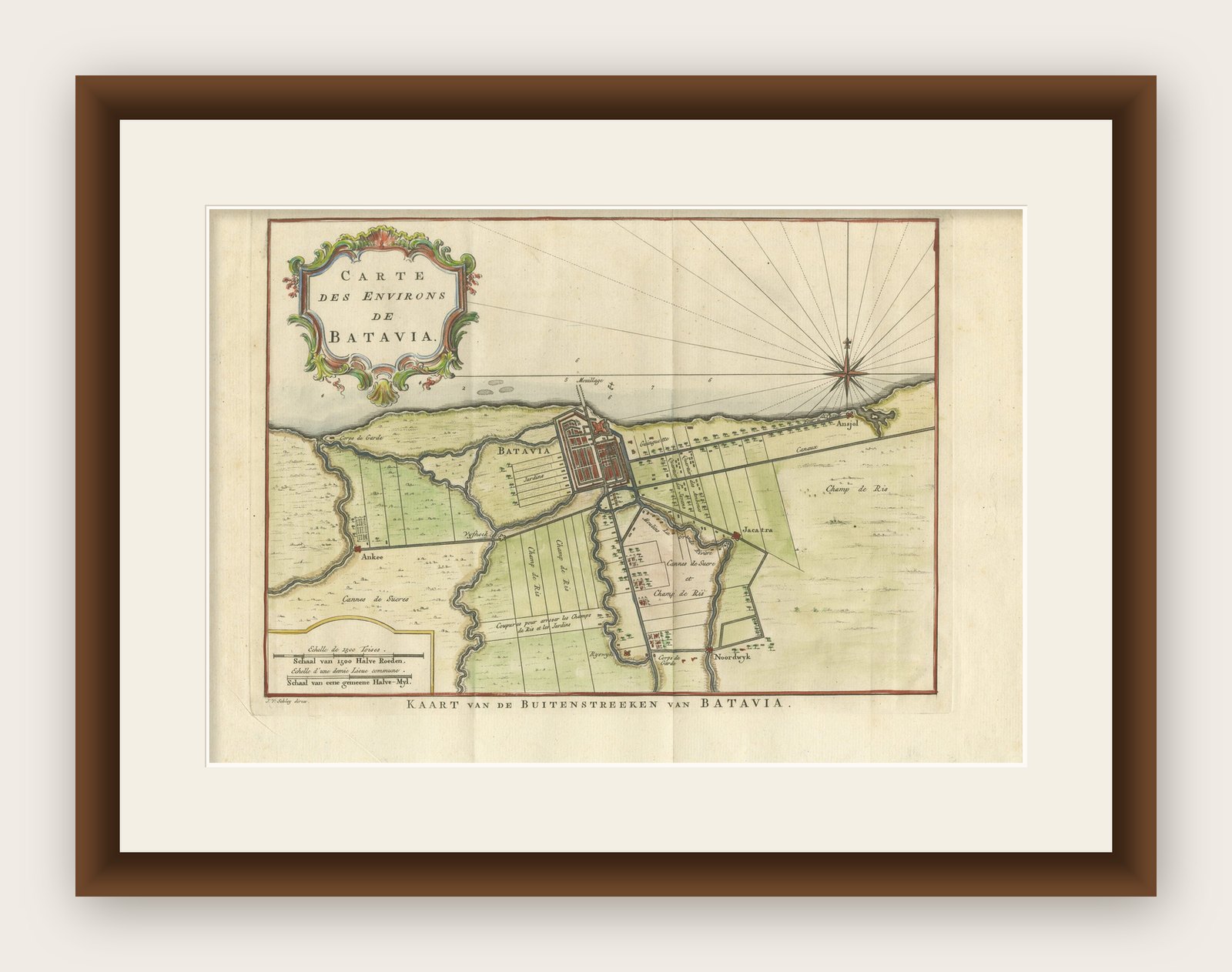


Frame and rooms are illustrations of how the print could look, drawn to its real size; it is sold unframed unless the description says otherwise.
Maps and Sea Charts
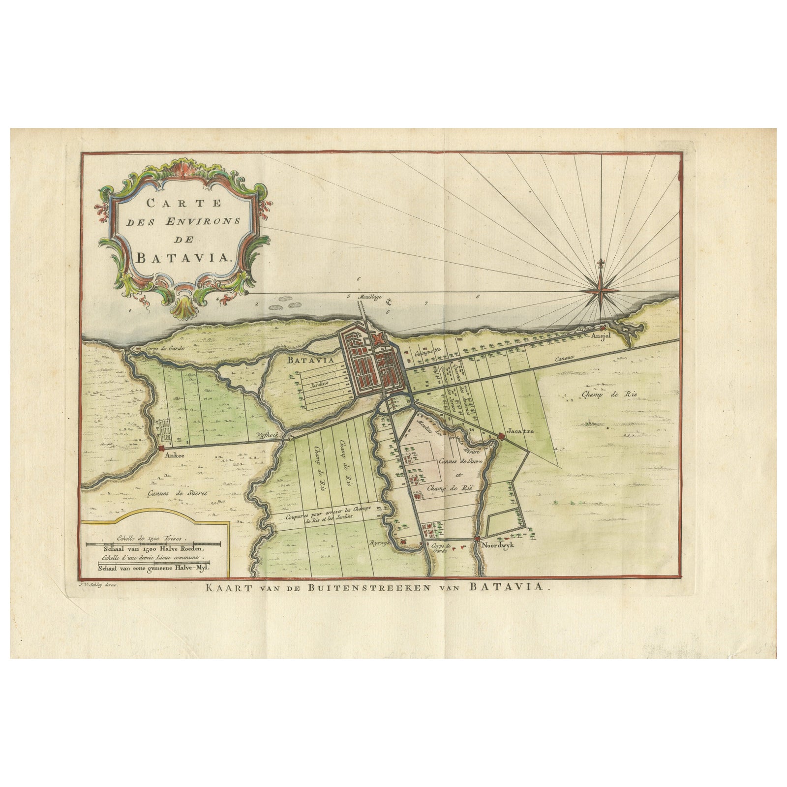
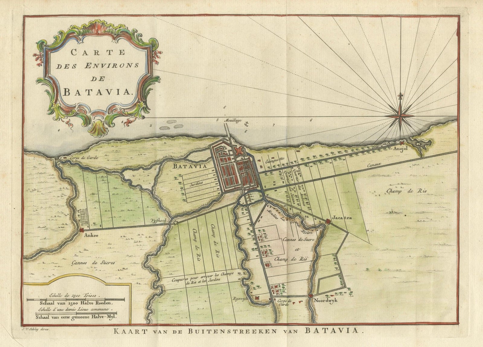
Map of Batavia’s Surroundings with Early Reference to Jakarta, Indonesia, c.1770
Batavia is now Jakarta.
$490
€440 · £370
Original print, not a reproduction
Ships worldwide from the Netherlands, insured and tracked. 14-day returns.
- Date
- 1770
- Sheet size
- 9.9 × 14.1 in (25.2 × 35.7 cm)
- Condition
- Good. The print is in very good condition for its age, with crisp impressions and original hand coloring. There is a central fold, as issued, and light toning to the margins, along with a faint watermark and minor foxing at the lower edge. No restoration h.
- Island
- Java
- Place names
- Batavia is now Jakarta
- Collection
- Maps and Sea Charts
- Period
- The Company, 1700 to 1799
- Stock no.
- f_45460162
- Color
- Hand colored
What the condition grades mean
- Excellent
- Bright and clean, with no faults worth mentioning.
- Very good
- Only light signs of age, such as faint toning.
- Good
- Normal signs of age for a sheet of this period: toning, some foxing, small marks or neat old repairs.
- Fair
- Clear faults such as staining, tears or repairs, priced to match.
Every fault we see is written in the condition note, and the whole sheet is shown uncropped in the photos.
Map of Batavia’s Surroundings with Early Reference to Jakarta, circa 1770
Description:
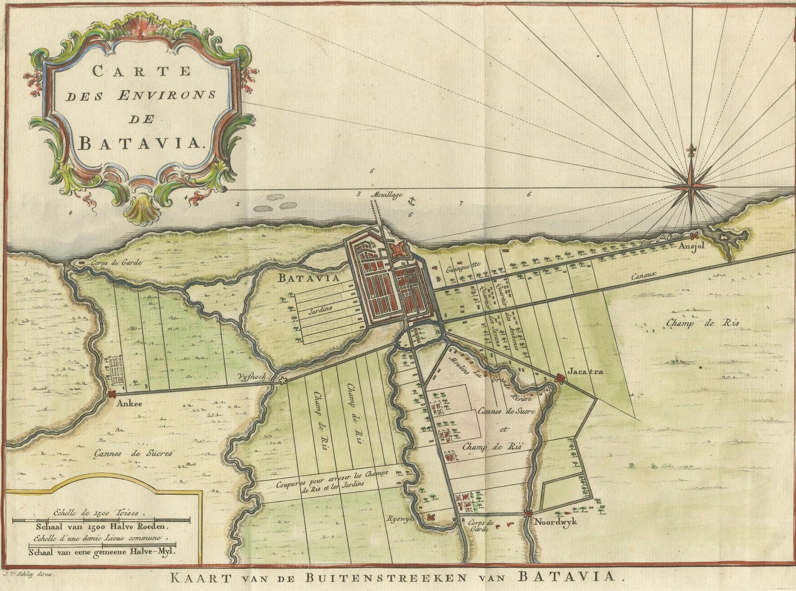
This finely engraved map titled "Carte des Environs de Batavia" offers a compelling and historically rich view of the colonial landscape surrounding Batavia, the capital of the Dutch East Indies, known today as Jakarta. Created circa 1770, the plan is attributed to Jakob van der Schley, an accomplished Dutch engraver known for his contributions to 18th-century geographical publications, especially the Histoire générale des voyages.
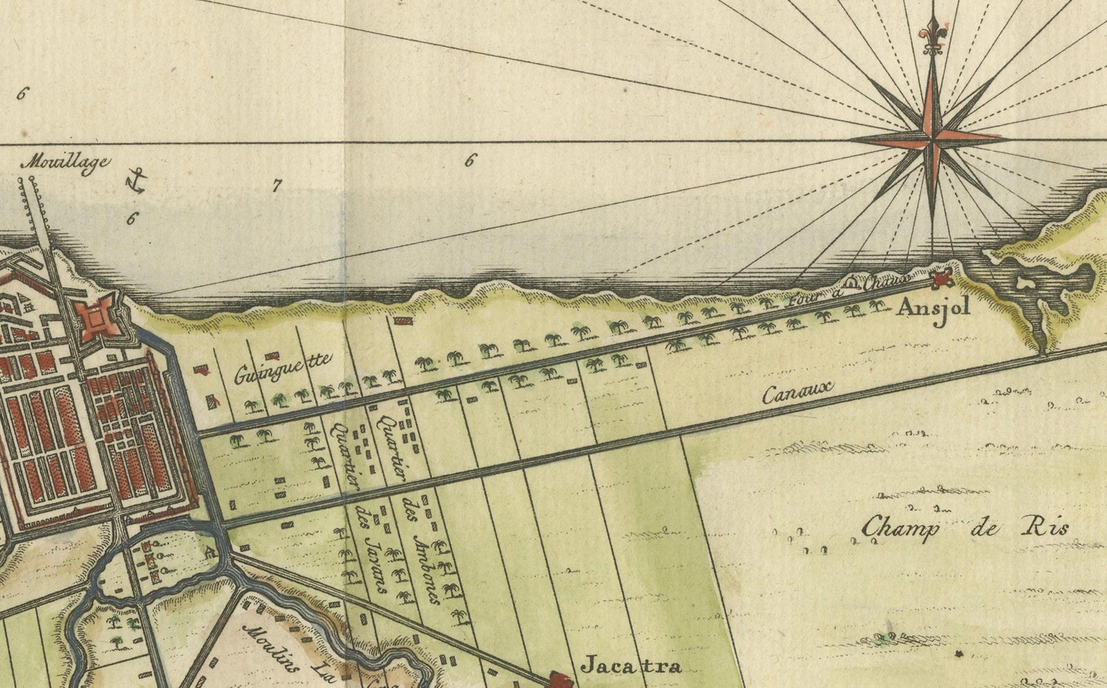
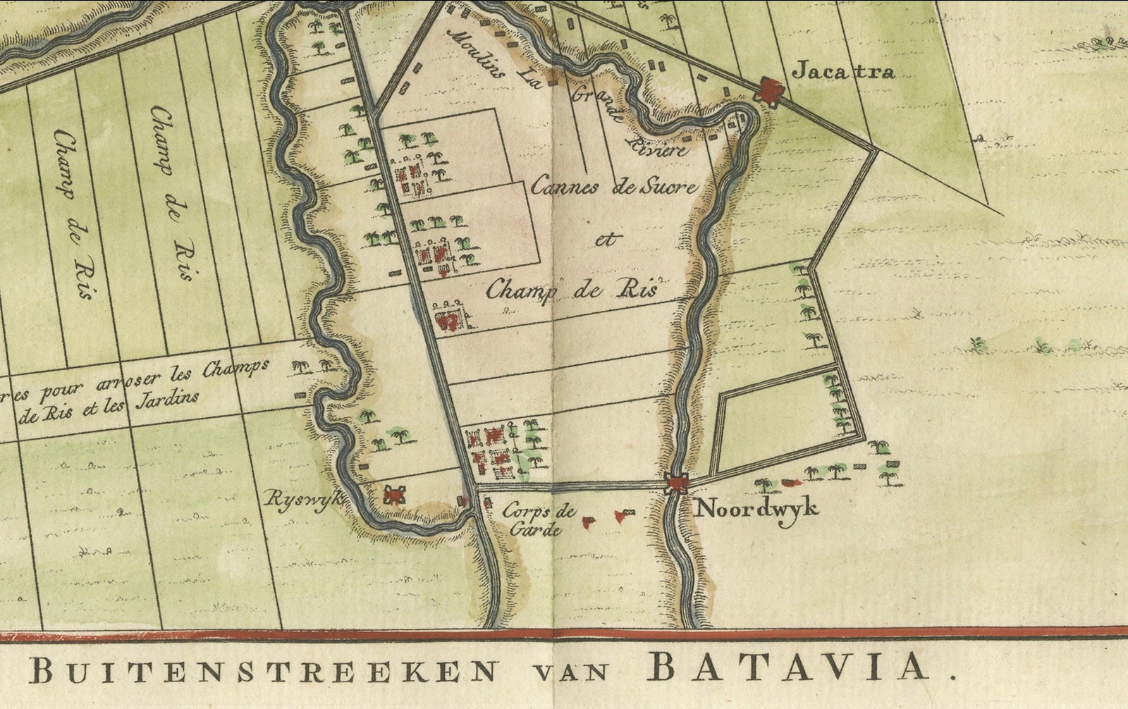
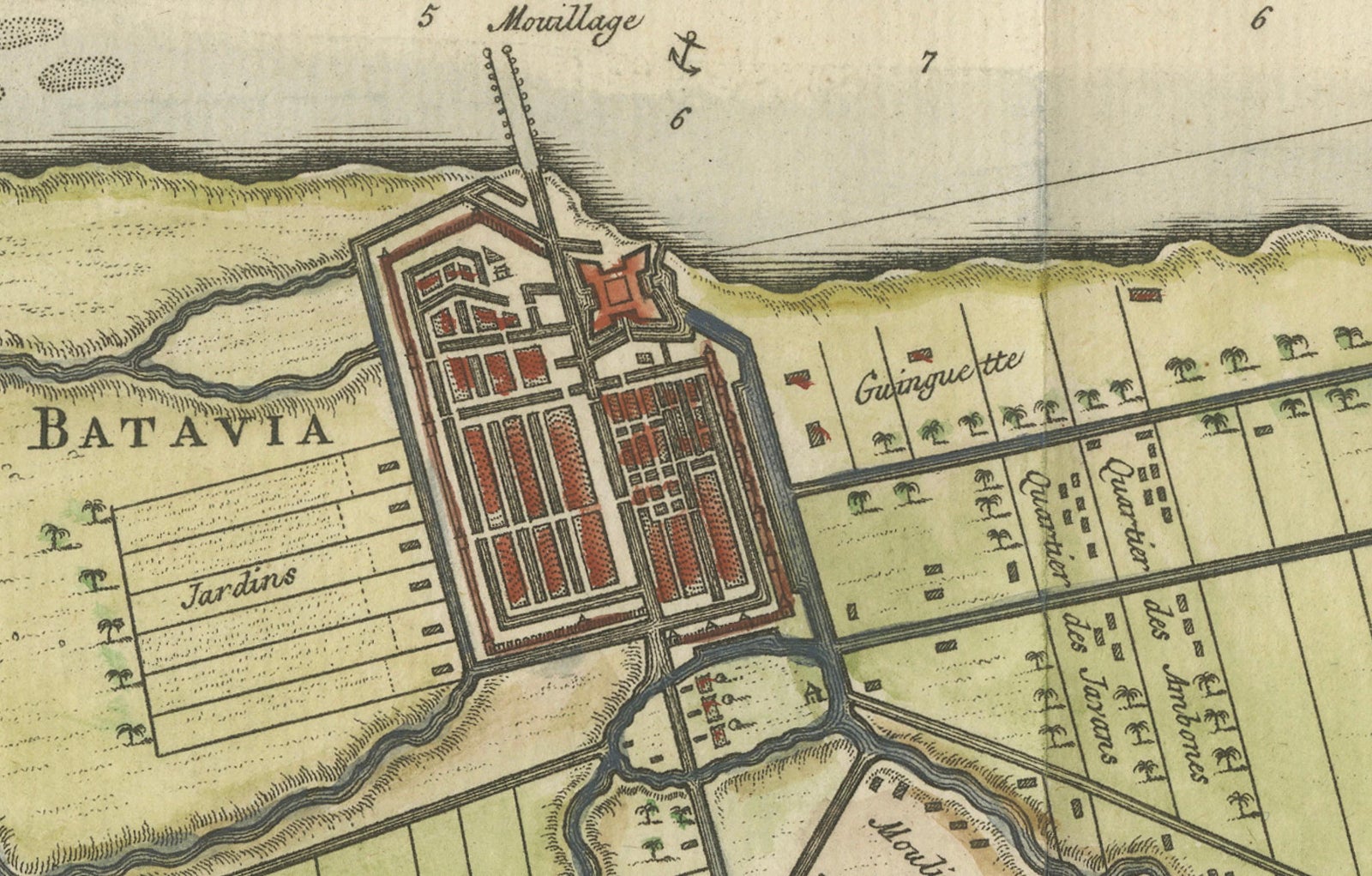
At the heart of the map lies the fortified city of Batavia, clearly delineated in its orderly grid layout, surrounded by a meticulous depiction of the surrounding agricultural lands, water infrastructure, and strategic outposts. One of the most fascinating aspects of this plan is its early mention of “Jacatra” (a local name for Jakarta) southeast of the city, offering a rare glimpse of the historical layering of colonial and indigenous place-naming.
The region is crisscrossed by a detailed network of canals, which served both transport and irrigation purposes. These waterways were vital to the functioning of the Dutch colonial economy and are drawn with technical precision. Adjacent to them, plots marked as “Jardins” reflect European-style horticulture interwoven with local cultivation.
Of particular note are the extensive “Champ de Riz” (rice fields) and “Canne de Sucre” (sugar cane plantations), shown in green and pale red tones. These were not just staples of subsistence and local consumption but also pillars of colonial commerce. Their central placement on the map reveals their economic and symbolic importance in the landscape.
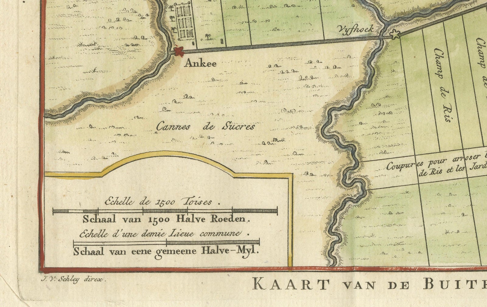
The lower-left corner includes a scale bar rendered in Dutch, French, and Latin units, a multilingual detail underscoring the map’s intended European readership. The map is ornamented with a rococo-style cartouche in the upper left, beautifully hand-colored and embellished with floral and foliate motifs.
Condition summary:
The print is in very good condition for its age, with crisp impressions and original hand coloring. There is a central fold, as issued, and light toning to the margins, along with a faint watermark and minor foxing at the lower edge. No restoration has been carried out.
Framing suggestion:
This map would be best presented in a classic dark wood frame with a subtle gold fillet, paired with a cream or soft beige archival mat. It is an ideal display piece for collectors of Southeast Asian cartography, VOC-era history, or early urban plans of Jakarta.
Explore