Raffles to the Cultivation System: 1800 to 1849
Maps and prints of the East Indies printed between 1800 and 1849. Every one a period original.
173 sheets
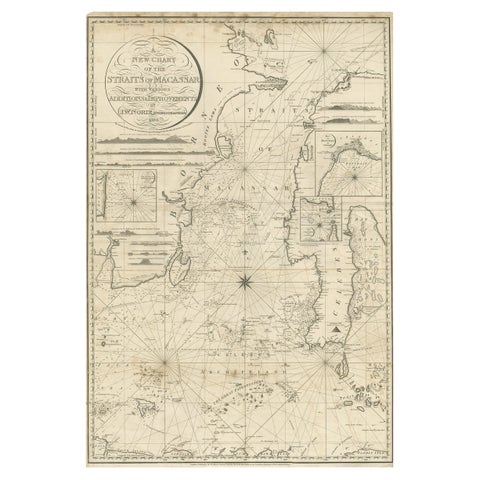
Maps and Sea Charts · Celebes
Antique Map of Straits of Makassar by J.W. Norie, Engraved Chart, 1820
1820 · 66 × 96 cm$3,080
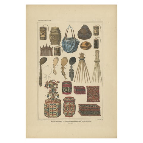
Peoples and Costume · Borneo
Set of 7 Decorative Antique Prints of Borneo, Timor and Papua Culture, ca. 1840
1840 · 31 × 45 cm$2,385
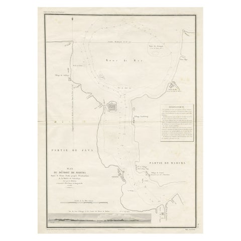
Maps and Sea Charts · Java
Detailed Map of the Madura Strait, between Java & Madura Island, Indonesia, 1825
1825 · 50.5 × 68 cm$1,400
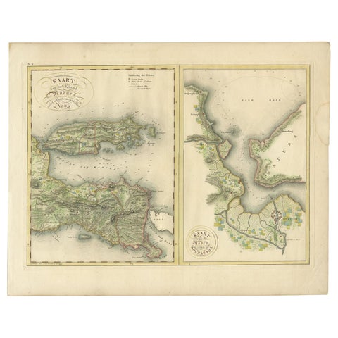
Maps and Sea Charts · Java
Antique Map of Madura and Surabaya by Van den Bosch, '1818'
1818 · 58 × 46 cm$1,235
Maps and Sea Charts · Java
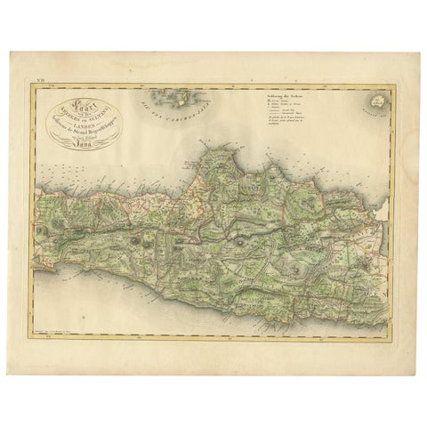
Antique Map of Central and East Java by Van den Bosch, 1818
1818 · 58 × 46 cm$1,235
Maps and Sea Charts · Java
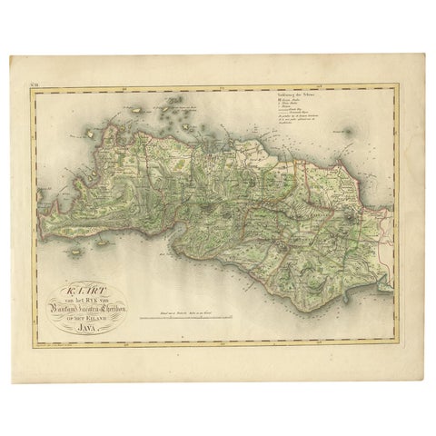
Antique Map of Bantam, Jakarta and Cirebon by Van den Bosch '1818'
1818 · 58 × 46 cm$1,235
Maps and Sea Charts · Moluccas
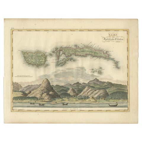
Antique Map of Seram, Boero and the Banda Islands by Van den Bosch '1818'
1818 · 58 × 46 cm$1,205
Flora and Fauna
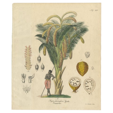
Antique Sago Palm Botanical Print, Copper Engraving, c.1831
1831 · 22.7 × 27.1 cm$1,140
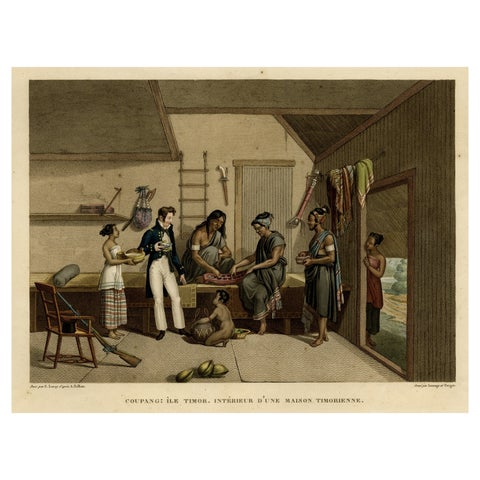
Peoples and Costume · Lesser Sunda
Interior with Native Timorese and an European in Kupang, Indonesia, 1825
1825 · 50 × 33.5 cm$1,075
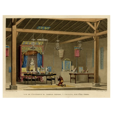
Towns and Landscapes · Lesser Sunda
Old View of the Interior of the Chinese Temple of Coupang or Kupang, Timor, 1825
1825 · 50.5 × 33.5 cm$1,075
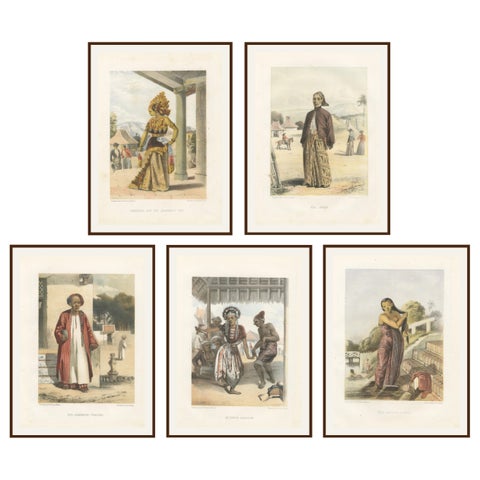
Peoples and Costume · Java
Title: Antique Javanese Costume Lithographs, Set of Five by F. Hardouin, c.1840
1840 · 22 × 29 cm$1,050
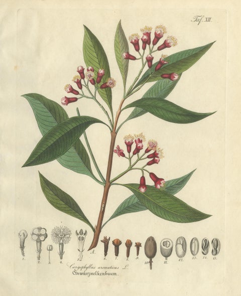
Flora and Fauna
Antique Clove Botanical Print, Caryophyllus Aromaticus, Hand Colored, c.1831
1831 · 22.7 × 27.1 cm$1,050
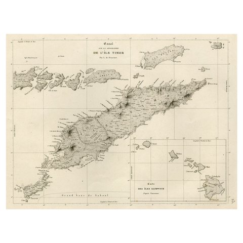
Maps and Sea Charts · Lesser Sunda
Rare Antique Map with Timor and Nearby Islands Plus an Inset of Hawaii, 1825
1825 · 50 × 34 cm$950
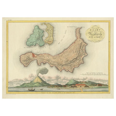
Maps and Sea Charts · Moluccas
Colonial Cartography: The Banda Islands, the Epicenter of the Spice Trade, 1818
1818 · 61.5 × 49.2 cm$940
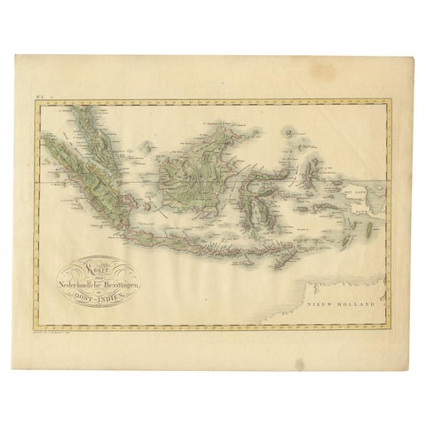
Maps and Sea Charts
Antique Map of the Dutch East Indies by Van den Bosch '1818'
1818 · 58 × 46 cm$935
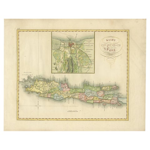
Maps and Sea Charts · Java
Antique Map of Java and Batavia of nowadays Indonesia, '1818'
1818 · 58 × 46 cm$930
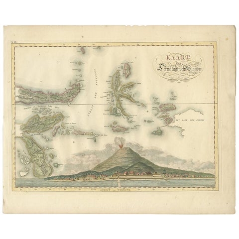
Maps and Sea Charts · Moluccas
Antique Map of the Ternate Islands by Van den Bosch '1818'
1818 · 58 × 46 cm$930
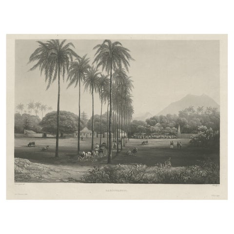
Towns and Landscapes · Java
Rare Chine-collé Aquatint of Banyuwangi, East Java, Indonesia, 1835
1835 · 48 × 31.5 cm$885
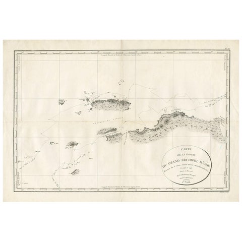
Maps and Sea Charts
Antique Map of Indonesia by C.F. Beautemps-Beaupre, circa 1807
1807 · 84 × 57.5 cm$840
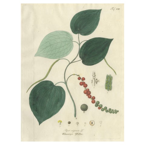
Flora and Fauna
Antique Black Pepper Botanical Print, Piper Nigrum, Hand Colored, c.1831
1831 · 22.7 × 27.1 cm$840
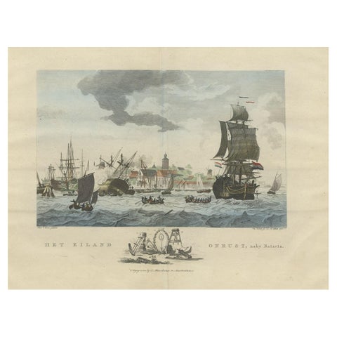
The Company · Java
Beautiful View of Pulau 'Island' Onrust, Batavia 'Jakarta, Indonesia', ca.1805
1805 · 50 × 37 cm$815
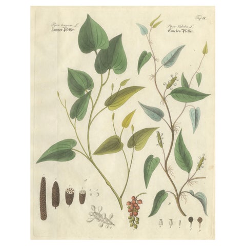
Flora and Fauna
Antique Long & Cubeb Pepper Botanical Print, Piper Species, c.1831
1831 · 22.7 × 27.1 cm$770
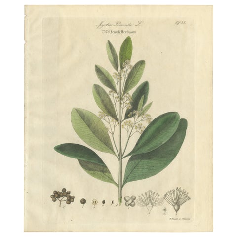
Flora and Fauna
Antique Allspice Botanical Print, Myrtus Pimenta, Hand Colored, c.1831
1831 · 22.7 × 27.1 cm$770
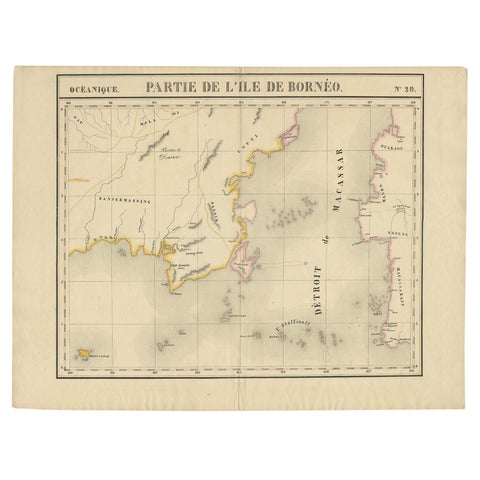
Maps and Sea Charts · Borneo
Antique Map of Part of Borneo 'Kalimantan' Indonesia, by Vandermaelen, C.1825
1825 · 70 × 53 cm$695
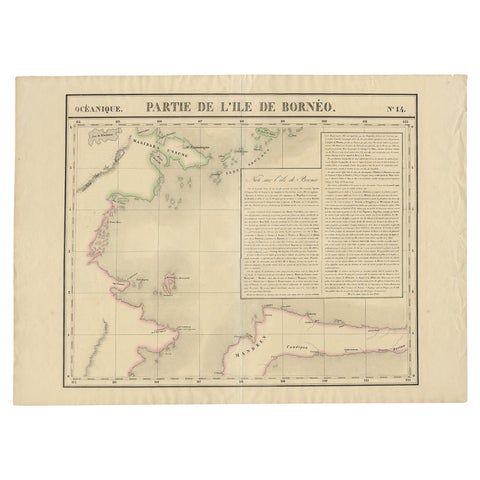
Maps and Sea Charts · Borneo
Antique Map of Part of Borneo 'Kalimantan' Indonesia by Vandermaelen, C.1825
1825 · 72 × 53 cm$695
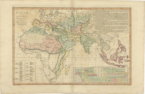
Maps and Sea Charts
Islamic World Map with Africa, Middle East, India, Indies, Wilkinson 1817
1817 · 52.8 × 34.2 cm$660
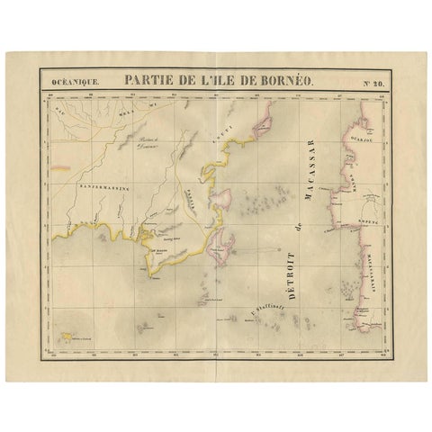
Maps and Sea Charts · Borneo
Antique Map of Southeast Borneo by P.M.G. Vandermaelen, 1827
1827 · 67 × 53 cm$630
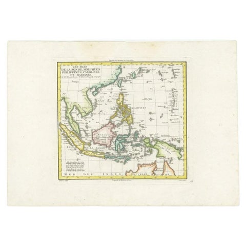
Maps and Sea Charts
Antique Map of Dutch East Indies (Indonesia) by C.F. Delamarche, Circa 1806
1806 · 57 × 44 cm$625
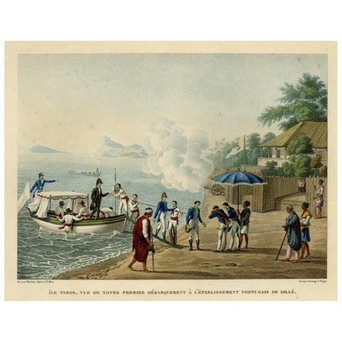
Towns and Landscapes · Lesser Sunda
Print of the French Disembark at the Portugese Settlement of Dille, Timor, 1825
1825 · 50.8 × 34 cm$615
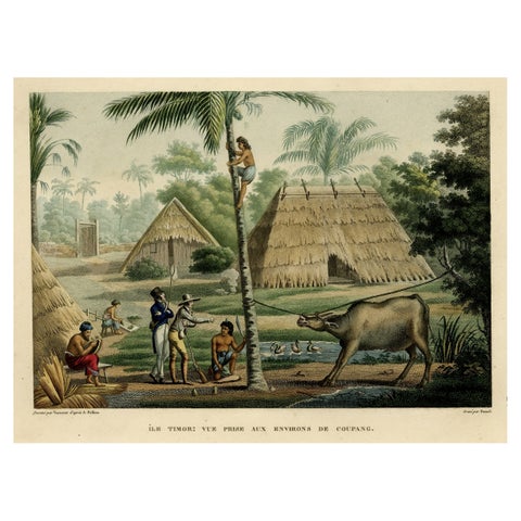
Towns and Landscapes · Lesser Sunda
Old Print of French Travellers Visiting a Village in Kupang, Timor, 1825
1825 · 50.5 × 34.2 cm$615
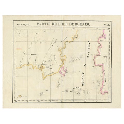
Maps and Sea Charts · Borneo
Detailed Antique Map of a Portion of Borneo and Sulawesi in Indonesia, c.1825
1825 · 69 × 53.5 cm$605
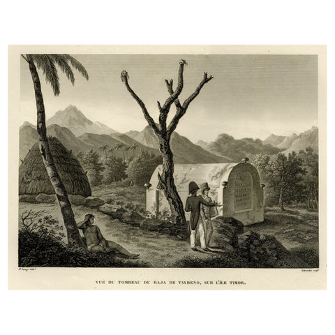
Peoples and Costume · Lesser Sunda
Antique Print of the Tomb of the Raja of Taybeno on the Island Timor, 1825
1825 · 50 × 34 cm$595
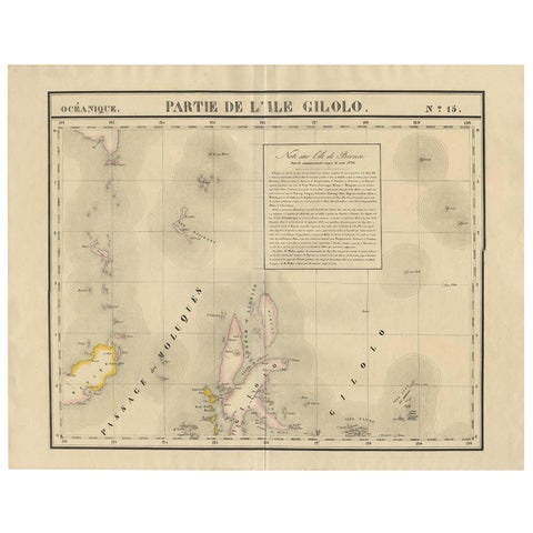
Maps and Sea Charts · Celebes
Antique Map of Southern Mindanao, Sulawesi and Gilolo Halmahera, Indonesia, 1827
1827 · 68 × 53 cm$585
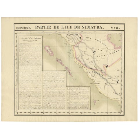
Maps and Sea Charts · Sumatra
Antique Map of West Sumatra by P.M.G. Vandermaelen, 1827
1827 · 69.6 × 53.4 cm$555
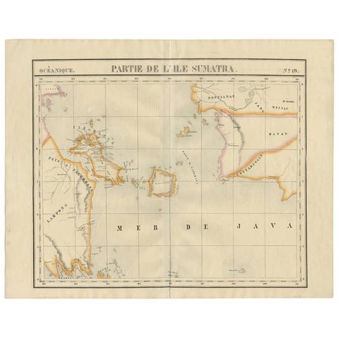
Maps and Sea Charts · Sumatra
Antique Map of South Sumatra by P.M.G. Vandermaelen, 1827
1827 · 67.4 × 53 cm$555
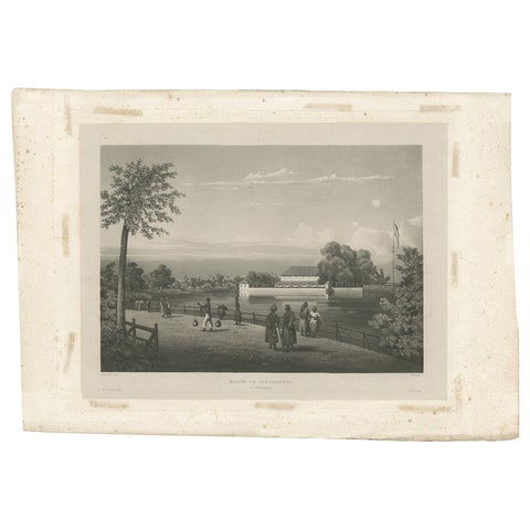
Towns and Landscapes · Java
Antique Print of the Governor's House in Surabaya, Indonesia, 1835
1835 · 49 × 34 cm$550
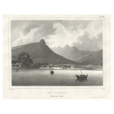
Towns and Landscapes · Java
Old Print of the City of Anyer, West-Java Near Krakatau Volcano, Indonesia, 1833
1833 · 52.5 × 35 cm$535
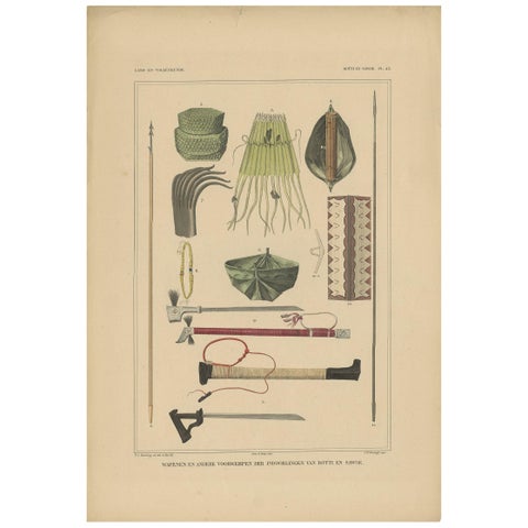
Peoples and Costume · Lesser Sunda
Print Weapons and Tools of Roti & Sawoe 'Indonesia' by Temminck, circa 1840
1840 · 31 × 45 cm$505
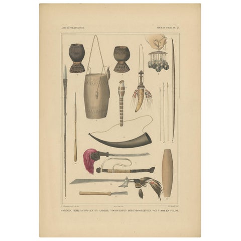
Peoples and Costume · Lesser Sunda
Print Weapons and Tools of Timor & Solor 'Indonesia' by Temminck, circa 1840
1840 · 31 × 45 cm$505
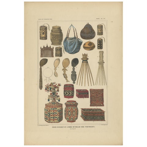
Peoples and Costume · Lesser Sunda
Antique Print with Various Furniture of Timor ‘Indonesia’, Temminck, circa 1840
1840 · 31 × 45 cm$505
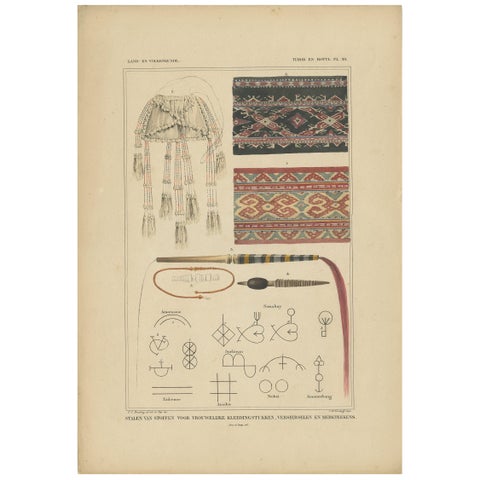
Peoples and Costume · Lesser Sunda
Antique Print with Fabrics of Timor and Rotti 'Indonesia', Temminck, circa 1840
1840 · 31 × 45 cm$505
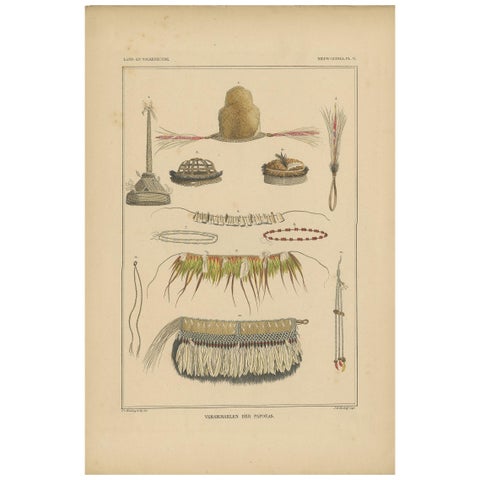
Peoples and Costume · New Guinea
Print with Papua Decoration 'New Guinea, Indonesia' by Temminck, circa 1840
1840 · 31 × 45 cm$505
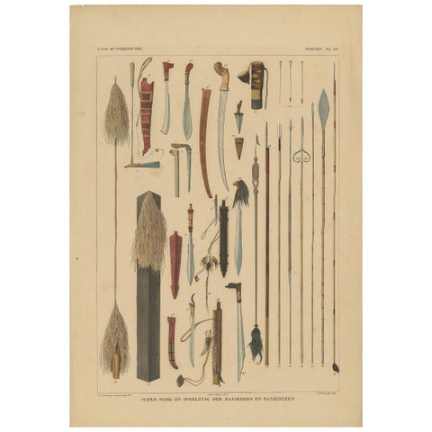
Peoples and Costume · Borneo
Antique Print with Weapons of Borneo 'Indonesia' by Temminck, circa 1840
1840 · 31 × 45 cm$505
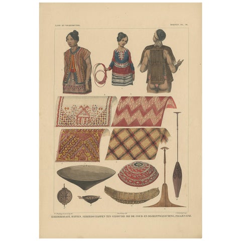
Peoples and Costume · Borneo
Print with Clothes and Utensils of Borneo 'Indonesia' by Temminck, circa 1840
1840 · 31 × 45 cm$505
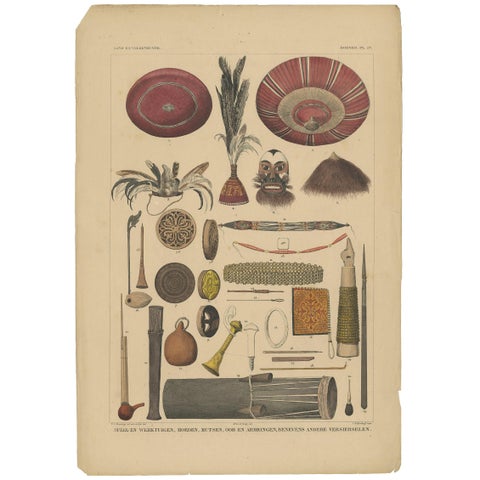
Peoples and Costume · Borneo
Antique Print with Tools from Borneo 'Indonesia' by Temminck, circa 1840
1840 · 31 × 45 cm$505
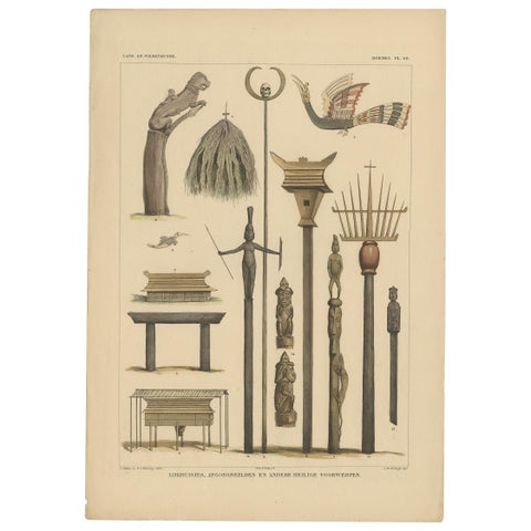
Peoples and Costume · Borneo
Print with Religious Items from Borneo 'Indonesia' by Temminck, circa 1840
1840 · 31 × 45 cm$505
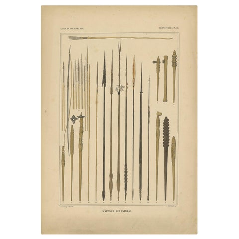
Peoples and Costume · New Guinea
Print with Weapons of Papua 'New Guinea, Indonesia' by Temminck, circa 1840
1840 · 31 × 45 cm$505
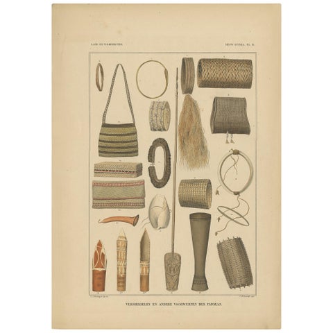
Peoples and Costume · New Guinea
Print with Items of Papua 'New Guinea, Indonesia' by Temminck, circa 1840
1840 · 31 × 45 cm$505
Raffles to the Cultivation System: 1800 to 1849
From the end of the Company to the colonial state: the British occupation of Java under Raffles (1811 to 1816), the Java War (1825 to 1830) and the Cultivation System. Expedition artists drew Timor, Papua and the Moluccas, and costume atlases pictured the peoples of the islands.
Explore
Makers and books
Places
Subjects