By island · Maluku
Moluccas
The spice islands: Ambon, Banda, Ternate, Tidore, Seram, Buru and Halmahera, the reason the VOC came east.
64 sheets
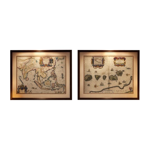
Maps and Sea Charts · Moluccas
Antique Blaeu Maps, Indonesia & Moluccas, VOC Era, c.1642
1642 · 59 × 50 cm£8,205
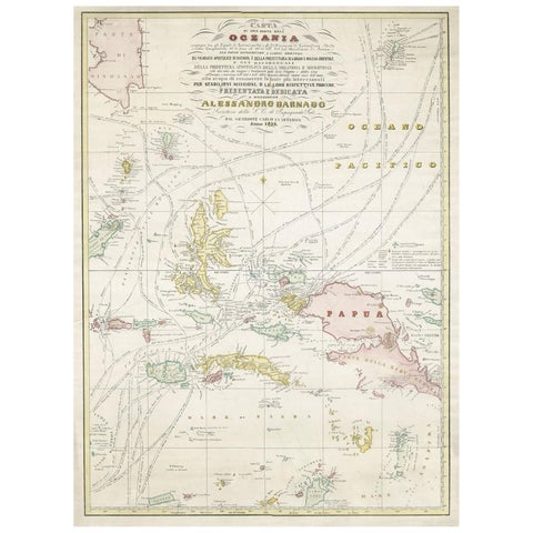
Maps and Sea Charts · Moluccas
Large Italian Map of Islands of Oceania, incl Papua, Timor, Banda, Ceram, 1855
1855 · 54 × 74 cm£2,220
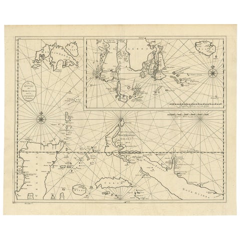
Maps and Sea Charts · Moluccas
Large Antique Detailed Map of a Part of the Spice Islands, Indonesia, 1726
1726 · 64 × 52 cm£1,215
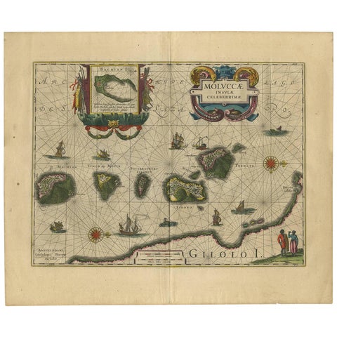
Maps and Sea Charts · Moluccas
Antique Map of the Spice Islands 'Moluccas', Indonesia by W. Blaeu, circa 1640
1640 · 58.5 × 50 cm£1,170
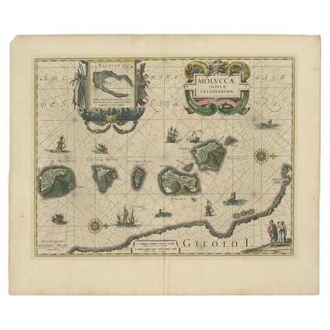
Maps and Sea Charts · Moluccas
Antique Map of the Maluku Islands by Blaeu, c.1640
1640 · 57.5 × 29 cm£980
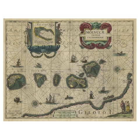
Maps and Sea Charts · Moluccas
Decorative Map of the Spice Islands in the Mollucas, Indonesia, ca.1640
1640 · 56.5 × 47 cm£965
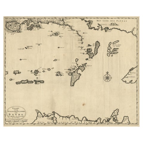
Maps and Sea Charts · Moluccas
Map of the Southeastern Part of the Banda Islands, Incl Northern Australia, 1726
1726 · 58.5 × 47 cm£940
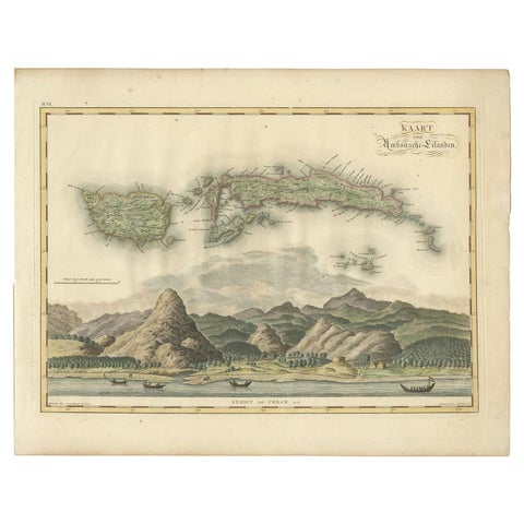
Maps and Sea Charts · Moluccas
Antique Map of Seram, Boero and the Banda Islands by Van den Bosch '1818'
1818 · 58 × 46 cm£900
Maps and Sea Charts · Moluccas
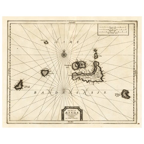
Antique Map of the Islands of Banda, Indonesia from a Very Rare Edition, 1725
1725 · 49 × 38 cm£745
Maps and Sea Charts · Moluccas
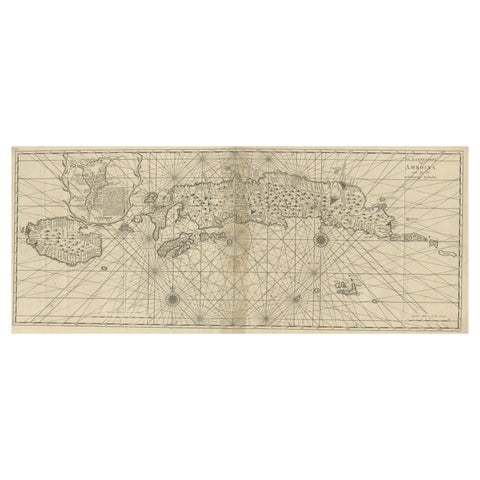
Antique Map of the Moluccas or the Famed Spice Islands of Indonesia, 1724
1724 · 81.5 × 35 cm£745
Maps and Sea Charts · Java
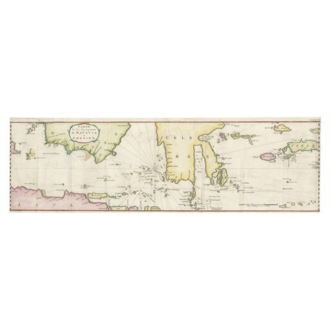
Rare Chart of Indonesia Including Borneo, Java, Celebes, Ceram and More, 1779
1779 · 74.5 × 23 cm£745
Maps and Sea Charts · Moluccas
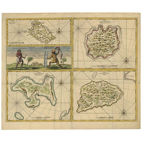
Antique Map of Manipa, Nusa-Laut, Saparua & Haruku 'Indonesia' by F. Valentijn
Date not stated · 60 × 50.5 cm£710
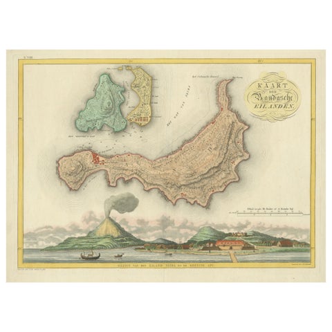
Maps and Sea Charts · Moluccas
Colonial Cartography: The Banda Islands, the Epicenter of the Spice Trade, 1818
1818 · 61.5 × 49.2 cm£705
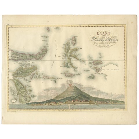
Maps and Sea Charts · Moluccas
Antique Map of the Ternate Islands by Van den Bosch '1818'
1818 · 58 × 46 cm£695
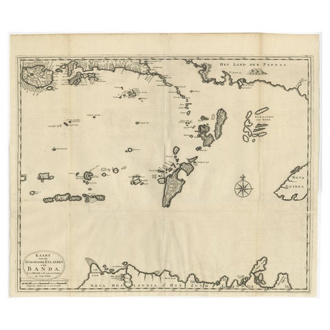
Maps and Sea Charts · Moluccas
Original Antique Map Southeast of the Banda or Spice Islands, Indonesia, 1726
1726 · 59 × 50 cm£645
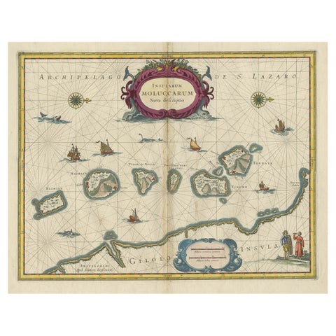
Maps and Sea Charts · Moluccas
Beautiful Antique Map of the Moluccas or Spice Islands, Indonesia, ca.1650
1650 · 57.5 × 53 cm£620
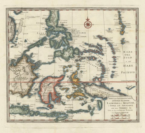
Maps and Sea Charts · Moluccas
Antique Map of the Philippines & Eastern Indonesia: Spice Islands by Tirion 1738
1738 · 48.7 × 37.6 cm£620
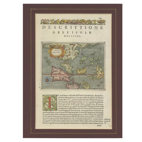
Maps and Sea Charts · Moluccas
Antique Map of the Moluccas by Porcacchi, circa 1620
1620 · 27 × 37 cm£605
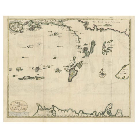
Maps and Sea Charts · Moluccas
Old Antique Map of the Banda Islands (Southeast), Indonesia & Northern Australia
Date not stated · 61 × 51.5 cm£585
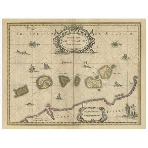
Maps and Sea Charts · Moluccas
Old Map of the Moluccas, Known as the Famous Spice Islands, Indonesia, ca.1730
1730 · 58.4 × 44 cm£580
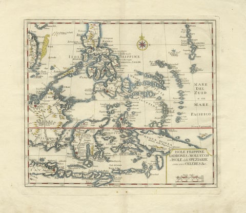
Maps and Sea Charts · Celebes
Antique Map Philippines, Moluccas, Celebes, Spice Islands, Tirion, c.1738
1738 · 48.7 × 37.6 cm£580
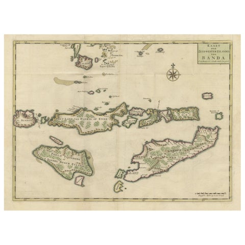
Maps and Sea Charts · Moluccas
Old Antique Map of the Sumbawa, Flores, Timor in the Banda Region of Indonesia
Date not stated · 53 × 39.5 cm£555
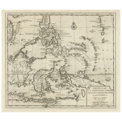
Maps and Sea Charts · Moluccas
Old Map of the Philippines and Part of Indonesia 'Spice Islands', 1744
1744 · 40 × 33.5 cm£555
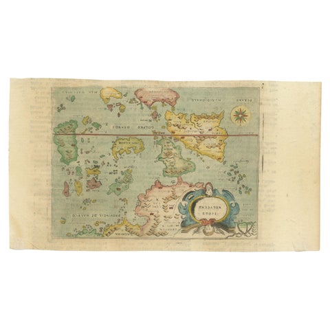
Maps and Sea Charts · Moluccas
Antique Miniature Map of the Maluku Islands by Lasor a Varea, 1713
1713 · 21.8 × 12 cm£500
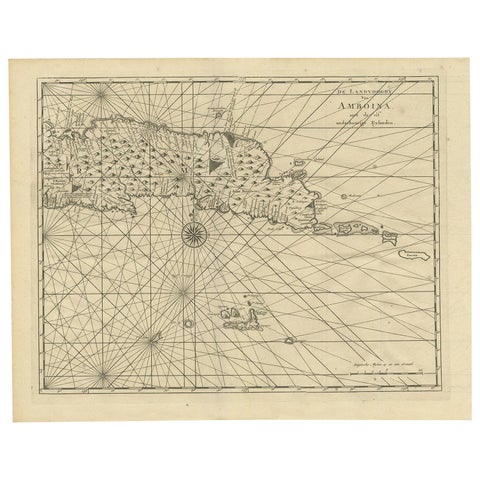
Maps and Sea Charts · Moluccas
Antique Map of Ambon and Surroundings by Valentijn '1726'
1726 · 43 × 34 cm£460
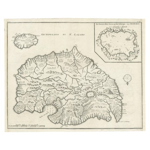
Maps and Sea Charts · Moluccas
Antique Map of Buru Island, Indonesia, c.1725
1725 · 40 × 32 cm£460
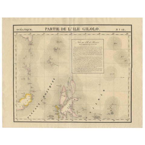
Maps and Sea Charts · Celebes
Antique Map of Southern Mindanao, Sulawesi and Gilolo Halmahera, Indonesia, 1827
1827 · 68 × 53 cm£435
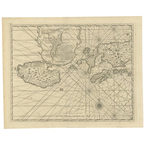
Maps and Sea Charts · Moluccas
Antique Map of Ambon and Boero by Valentijn, 1726
1726 · 42.5 × 34 cm£420
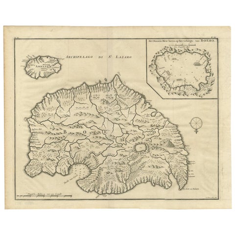
Maps and Sea Charts · Moluccas
Antique Map of Boero in Indonesia by Valentijn, 1726
1726 · 42 × 34 cm£420
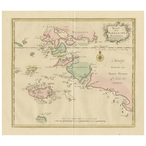
Maps and Sea Charts · Moluccas
Antique Map extending from the Spice Islands to the west of Papua New Guinea
Date not stated · 55 × 44 cm£410
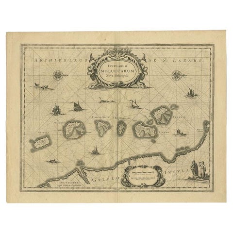
Maps and Sea Charts · Moluccas
Antique Map of the Moluccas in Indonesia by Janssonius, C.1650
1650 · 56.5 × 44.3 cm£405
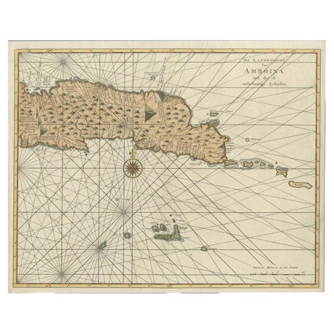
Maps and Sea Charts · Moluccas
Antique Map of Eastern Seram, Part of the Maluku Island in East Indonesia, 1726
1726 · 38.9 × 31 cm£375
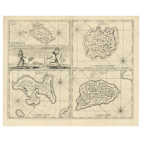
Maps and Sea Charts · Moluccas
Antique Map of Manipa and Other Maluku Islands, Indonesia, 1726
1726 · 52.5 × 61 cm£375
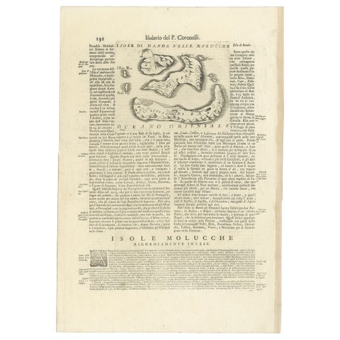
Maps and Sea Charts · Moluccas
Antique Map of the Banda Islands or Spice Islands, Moluccas, Indonesia, 1697
1697 · 33 × 48 cm£375
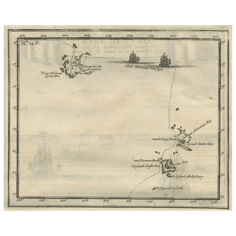
Maps and Sea Charts · Moluccas
Antique Map of the Banda Islands and the Route of Abel Tasman, Indonesia, 1726
1726 · 20 × 34 cm£375
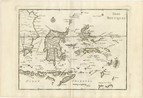
Maps and Sea Charts · Celebes
Antique Map of the Moluccas & Celebes, Le Rouge, French Engraving c.1750
1750 · 35.7 × 24.4 cm£330
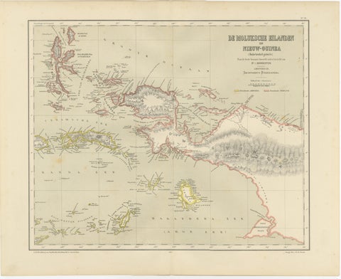
Maps and Sea Charts · Moluccas
Antique Colonial Dutch Map of the Moluccas & New Guinea by Dornseiffen, 1884
1884 · 48.5 × 39 cm£325
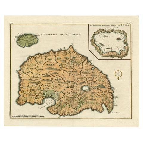
Maps and Sea Charts · Moluccas
Antique Map of Ambelau and Buru Island, Maluku or Moluccas in Indonesia, 1726
1726 · 42.7 × 34.8 cm£310
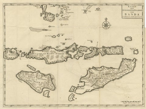
Maps and Sea Charts · Moluccas
Antique Map of the Banda Islands in Indonesia by Valentijn, 1726
1726 · 51.5 × 41.5 cm£305
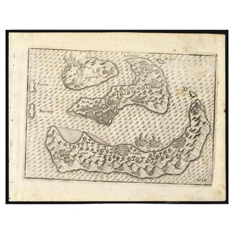
Maps and Sea Charts · Moluccas
Antique Map of the Banda Islands by Commelin, 1646
1646 · 23 × 17.5 cm£295
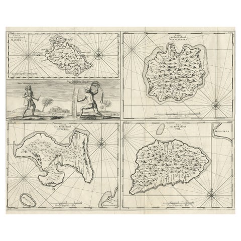
Maps and Sea Charts · Moluccas
Antique Maps of Manipa, Nusa-Laut, Saparua and Haruku in Maluku, Indonesia 1726
1726 · 55 × 65 cm£295
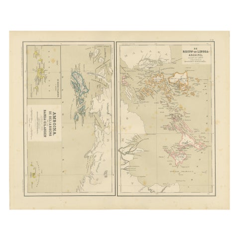
Maps and Sea Charts · Sumatra
Antique Map of Riouw, Lingga Archipelago, Singapore, Banda by Dornseiffen, 1884
1884 · 48.5 × 39 cm£285
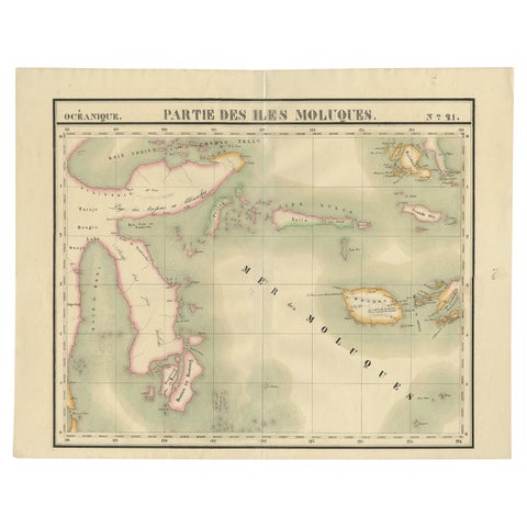
Maps and Sea Charts · Celebes
Old Map of the Moluccas and Part of Sulawesi Indonesia by Vandermaelen, c 1825
1825 · 67 × 53 cm£285
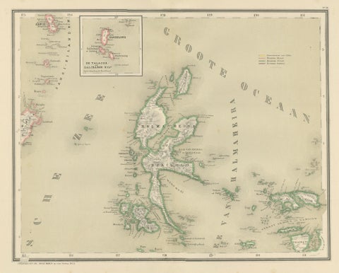
Maps and Sea Charts · Moluccas
Antique Map of Halmahera, Ternate, Tidore, Moluccas by Dornseiffen, 1884
1884 · 39 × 48.5 cm£245
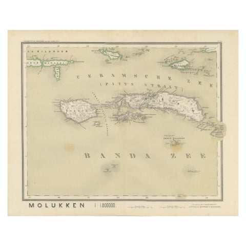
Maps and Sea Charts · Moluccas
Antique Map of Ceram, Ambon, Banda, Buru, Moluccas by Dornseiffen, 1884
1884 · 39 × 48.5 cm£245
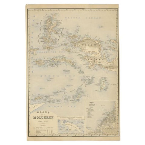
Maps and Sea Charts · Moluccas
Antique Map of the Moluccas by Stemfoort, 1885
1885 · 48 × 61.5 cm£220
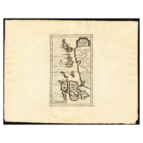
Maps and Sea Charts · Moluccas
Antique Map of the Maluku Islands by Van der Aa, 1725
1725 · 49 × 38 cm£220
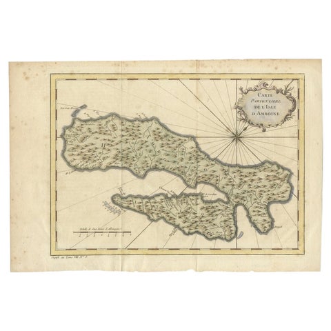
Maps and Sea Charts · Moluccas
Antique Map of Ambon Island in the Moluccas, Indonesia, c.1760
1760 · 36.5 × 25 cm£200