By island · Maluku
Moluccas
The spice islands: Ambon, Banda, Ternate, Tidore, Seram, Buru and Halmahera, the reason the VOC came east.
114 sheets
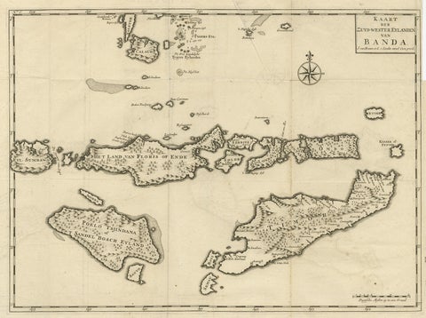
Maps and Sea Charts · Moluccas
Antique Map of the Banda Islands in Indonesia by Valentijn, 1726
1726 · 51.5 × 41.5 cm$405
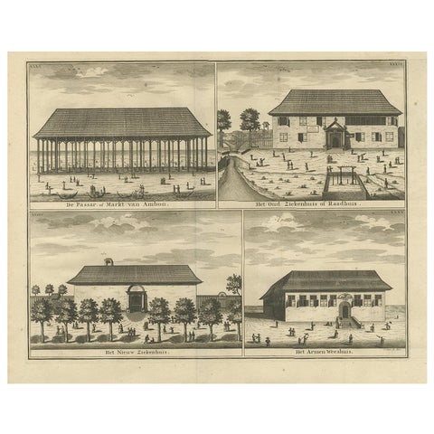
Towns and Landscapes · Moluccas
Antique Print with Four Views of Ambon ii by Valentijn, 1726
1726 · 42.5 × 34 cm$405
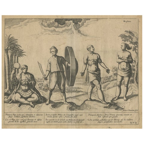
Peoples and Costume · Moluccas
Natives from Pegu, the Moluccan Islands, Penequais Indians and St Thomas, c.1605
1605 · 35.5 × 30 cm$405
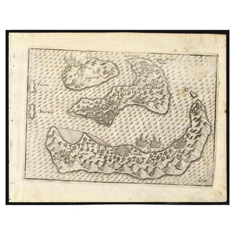
Maps and Sea Charts · Moluccas
Antique Map of the Banda Islands by Commelin, 1646
1646 · 23 × 17.5 cm$395
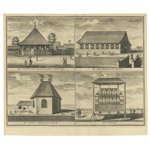
Towns and Landscapes · Moluccas
Antique Print with Four Views of Ambon by Valentijn '1726'
1726 · 39.5 × 34 cm$390
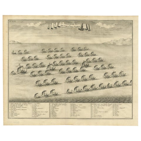
The Company · Moluccas
Antique Print of the Hongi/Coracora Fleet by Valentijn '1726'
1726 · 42 × 34 cm$390
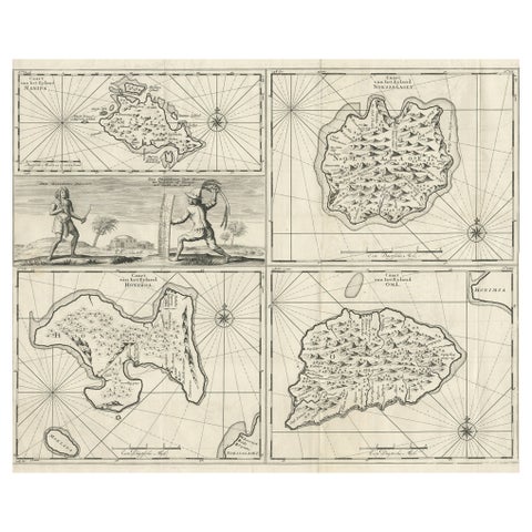
Maps and Sea Charts · Moluccas
Antique Maps of Manipa, Nusa-Laut, Saparua and Haruku in Maluku, Indonesia 1726
1726 · 55 × 65 cm$390
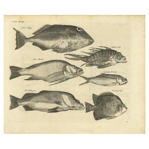
Flora and Fauna · Moluccas
Engraving of a Sea Hogg, Amboina Fish, Stone Bream, Indian Herring Etc, Ca. 1744
1744 · 41.5 × 34.7 cm$390
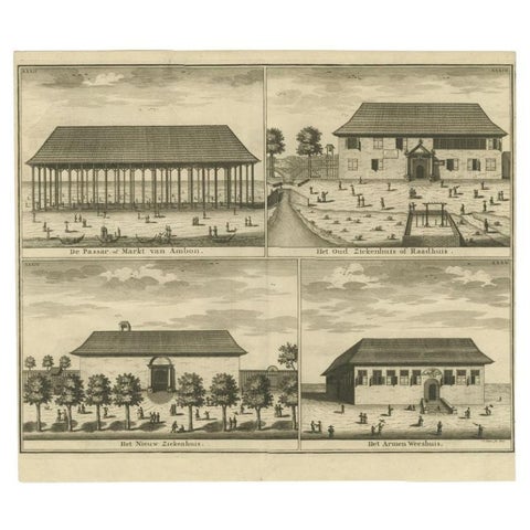
Towns and Landscapes · Moluccas
Antique Print of the Market, Hospital and Orphanage of Ambon by Valentijn, 1726
1726 · 38.5 × 33 cm$390
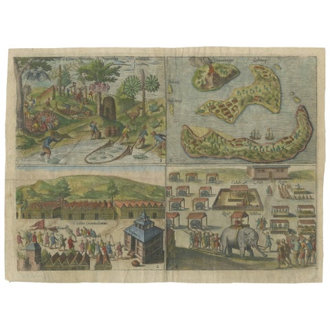
Towns and Landscapes · Java
Mauritius, Banda Islands, Ternate and Tuban, Orlers, Leiden 1610
1610 · 32.6 × 24.3 cm$380
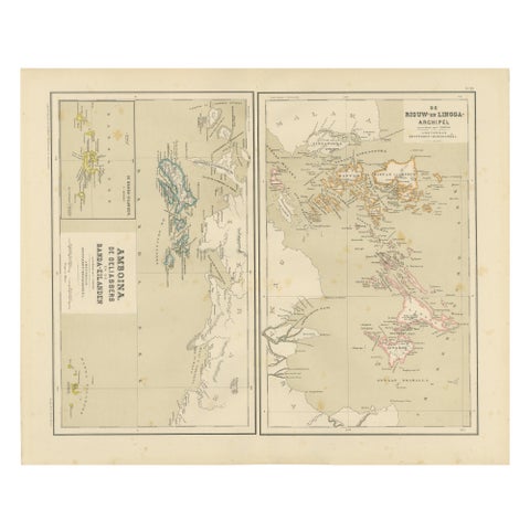
Maps and Sea Charts · Sumatra
Antique Map of Riouw, Lingga Archipelago, Singapore, Banda by Dornseiffen, 1884
1884 · 48.5 × 39 cm$380
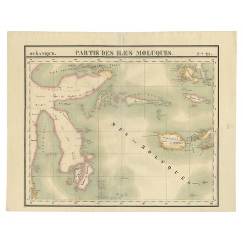
Maps and Sea Charts · Celebes
Old Map of the Moluccas and Part of Sulawesi Indonesia by Vandermaelen, c 1825
1825 · 67 × 53 cm$380
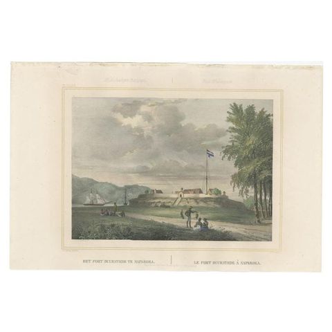
The Company · Moluccas
Antique Print with View of Fort Duurstede on Saparua, Indonesia, 1844
1844 · 47 × 31 cm$370
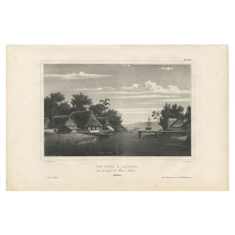
Towns and Landscapes · Moluccas
Antique Print of Ambon Island, Indonesia, by Dumont d'Urville, 1833
1833 · 52.5 × 34.5 cm$345
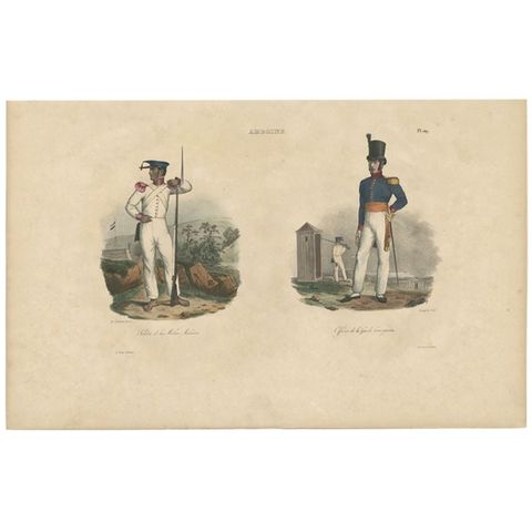
Peoples and Costume · Moluccas
Antique Print of an Amboine Soldier and Officer, circa 1833
1833 · 51.5 × 33 cm$325
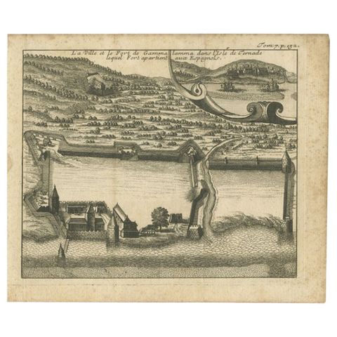
The Company · Moluccas
Antique Print of the Town and Fortress of Ternate by Renneville, 1725
1725 · 19 × 16 cm$325
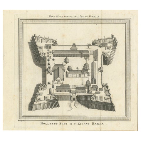
The Company · Moluccas
VOC Fort Nassau at Banda of The Spice Islands, Bird’s-eye View Engraving, c.1740
1740 · 24.5 × 22 cm$325
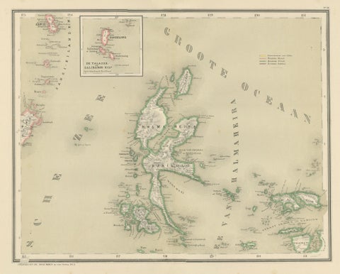
Maps and Sea Charts · Moluccas
Antique Map of Halmahera, Ternate, Tidore, Moluccas by Dornseiffen, 1884
1884 · 39 × 48.5 cm$325
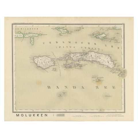
Maps and Sea Charts · Moluccas
Antique Map of Ceram, Ambon, Banda, Buru, Moluccas by Dornseiffen, 1884
1884 · 39 × 48.5 cm$325
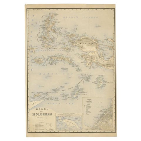
Maps and Sea Charts · Moluccas
Antique Map of the Moluccas by Stemfoort, 1885
1885 · 48 × 61.5 cm$295
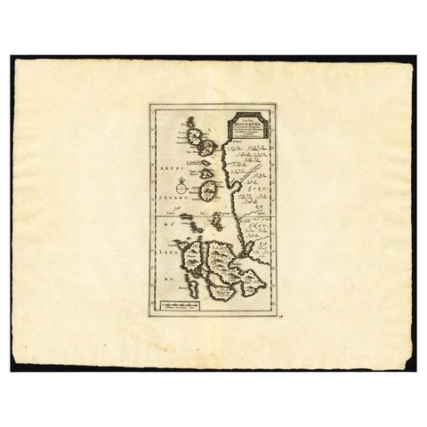
Maps and Sea Charts · Moluccas
Antique Map of the Maluku Islands by Van der Aa, 1725
1725 · 49 × 38 cm$295
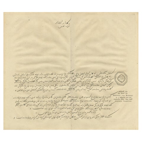
The Company · Moluccas
Antique Engraving of a Letter Written by the King of Batjan, Moluccas, 1726
1726 · 40 × 34 cm$290
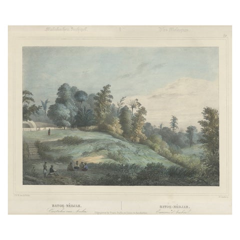
Towns and Landscapes · Moluccas
Antique Print of Batu Meja in the Moluccas, Indonesia, c.1845
1845 · 45 × 39.5 cm$290
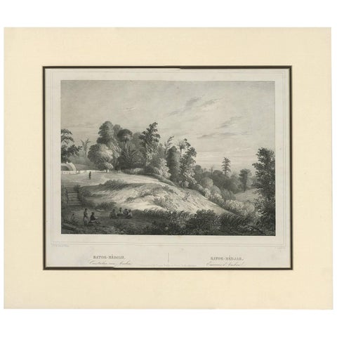
Towns and Landscapes · Moluccas
Antique Print of Batoe-Medjah 'Ambon, Indonesia' by C.W.M Van de Velde
Date not stated · 46.5 × 39.7 cm$290
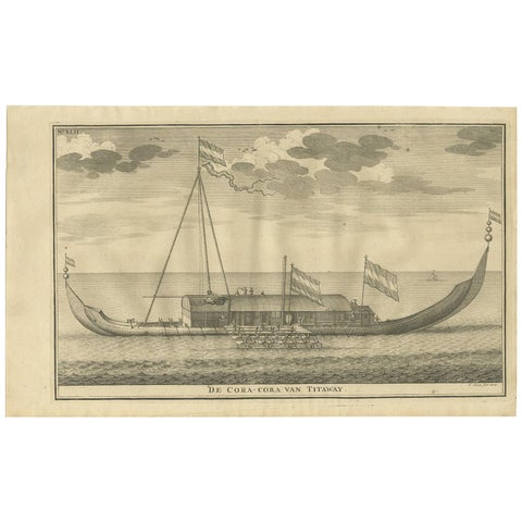
The Company · Moluccas
Antique Print of the Coracora Fleet by Valentijn, 1726
1726 · 34 × 21 cm$280
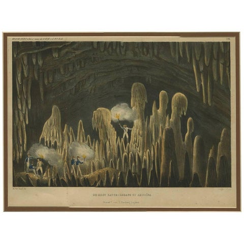
Towns and Landscapes · Moluccas
Antique Print with a view of Amboina 'Indonesia' by C.G.C. Reinwardt
Date not stated · 45 × 37 cm$275
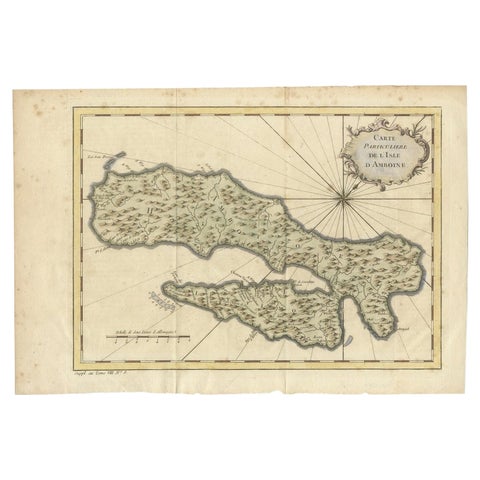
Maps and Sea Charts · Moluccas
Antique Map of Ambon Island in the Moluccas, Indonesia, c.1760
1760 · 36.5 × 25 cm$270
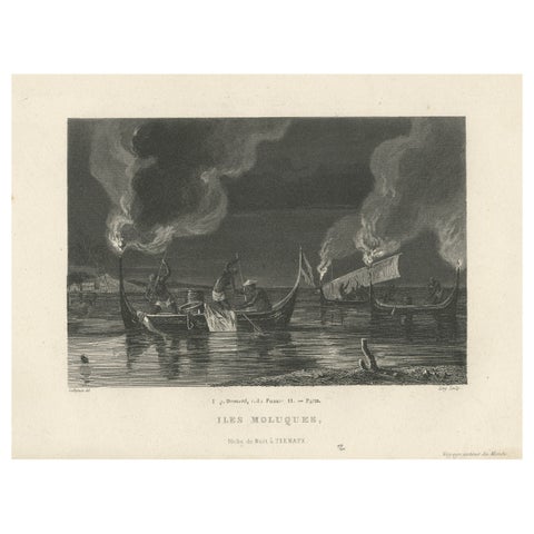
Towns and Landscapes · Moluccas
Antique Print of Night Fishing Near Ternate, Indonesia, Maluku Islands
circa 1850 · 24.3 × 15.7 cm$270
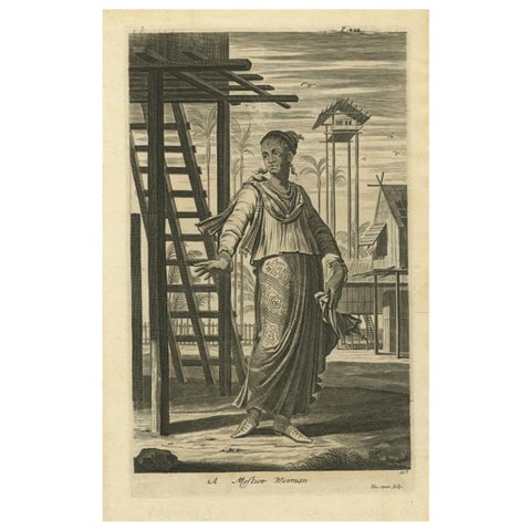
Peoples and Costume · Moluccas
A Mestizo Woman from Ternate, Indonesia, 1744
1744 · 22 × 33 cm$255
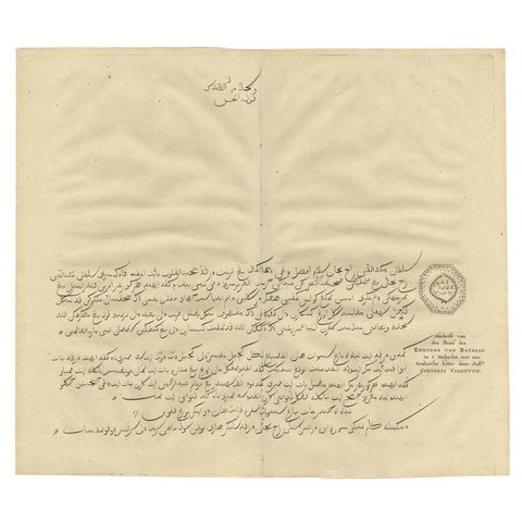
The Company · Moluccas
Engraving of a Letter Written by the King of Batsjan, Moluccas, Valentijn, 1726
1726 · 40 × 34 cm$255
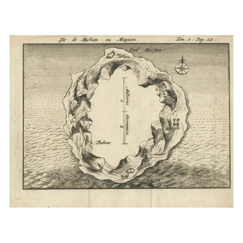
Maps and Sea Charts · Moluccas
Antique Map of Macjan or Makian Island in the Moluccas, Indonesia, c.1740
1740 · 16 × 21 cm$255
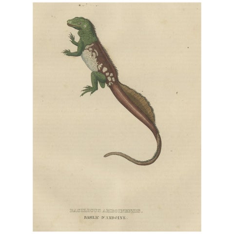
Flora and Fauna · Moluccas
Old Hand-colored Print of a Rare Amboina Sailfin Lizard
1845 · 17 × 26.5 cm$255
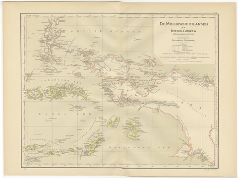
Maps and Sea Charts · Moluccas
Antique Map of the Moluccas and Irian Jaya (Papua), Indonesia, 1900
1900 · 52.2 × 38.9 cm$250
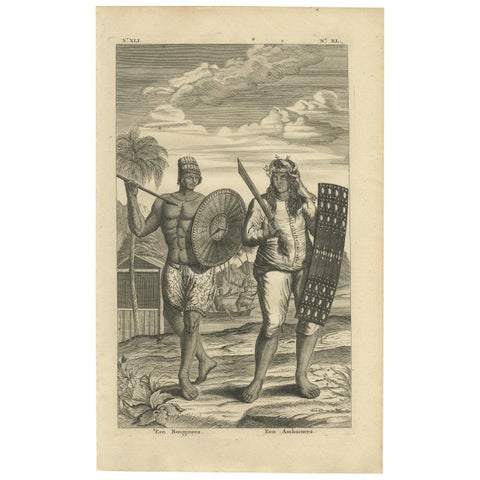
Peoples and Costume · Celebes
Antique Print of a Buginese and Ambonese Man by Valentijn, 1726
1726 · 21 × 34 cm$245
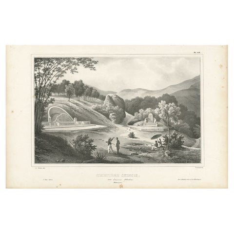
Peoples and Costume · Moluccas
Antique Print of a Chinese Cemetery near Ambon, Indonesia by D'Urville, 1833
1833 · 52.5 × 33 cm$235
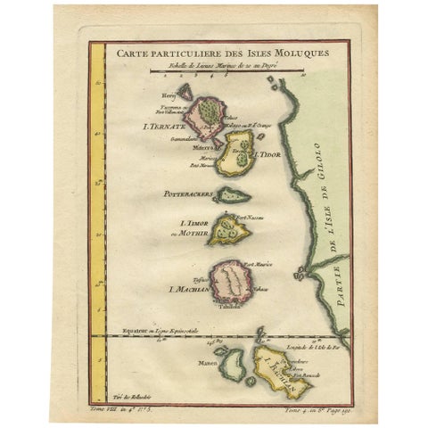
Maps and Sea Charts · Moluccas
Antique Map of the Moluques Islands, Part of Indonesia, circa 1750
1750 · 19.4 × 25.2 cm$235
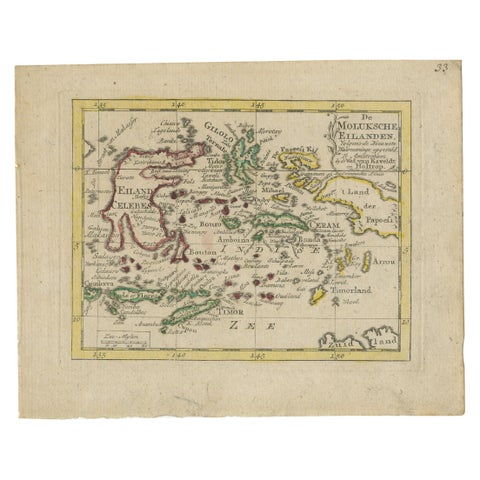
Maps and Sea Charts · Moluccas
Antique Miniature Map of the Maluku Islands by Van Esveldt & Holtrop 'c.1790'
1790 · 16 × 12.5 cm$225
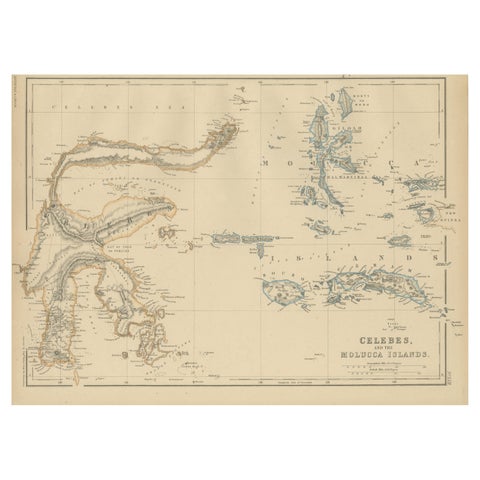
Maps and Sea Charts · Celebes
Antique Map of Celebes and the Maluku Islands by W. G. Blackie, 1859
1859 · 37 × 27 cm$225
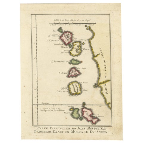
Maps and Sea Charts · Moluccas
Old Map of the Spice Islands, Moluccas by Bellin, Published in 1771
1771 · 19.6 × 26.3 cm$225
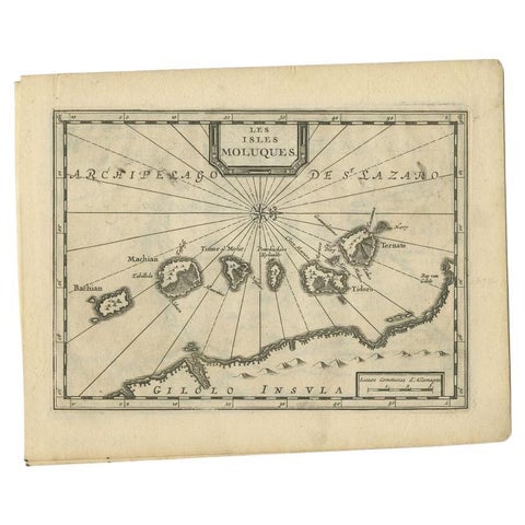
Maps and Sea Charts · Moluccas
Antique Map of the Maluku Islands by Van der Aa, 1714
1714 · 23.3 × 18.5 cm$225
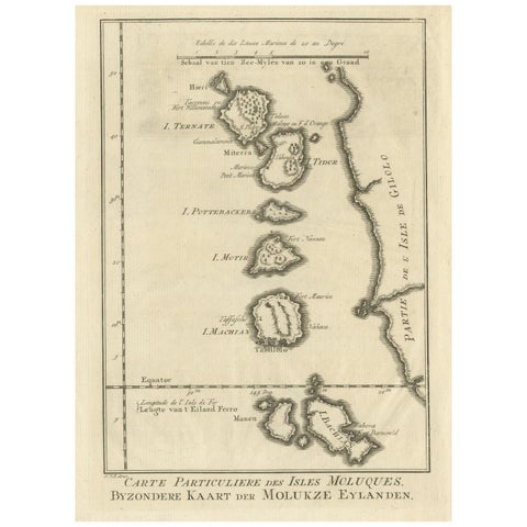
Maps and Sea Charts · Moluccas
Original Antique Map of the Maluku Islands or Moluccas
Date not stated · 19.2 × 25.5 cm$215
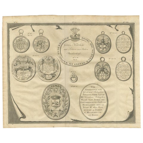
Towns and Landscapes · Moluccas
Antique Print Memorial Plaques of Ambon by Valentijn, 1726
1726 · 42 × 34 cm$195
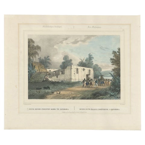
Towns and Landscapes · Moluccas
Antique Print of a Church in Saparoea, Indonesia, circa 1845
1845 · 45 × 37.5 cm$185
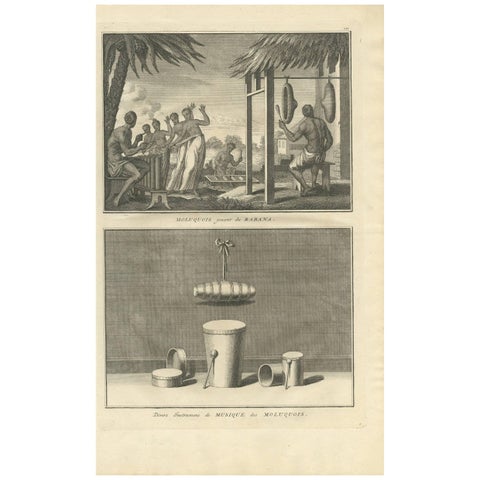
Peoples and Costume · Moluccas
Antique Print of Moluccans Playing the Rabana and Music Instruments "Indonesia"
1733 · 24.2 × 39.4 cm$185
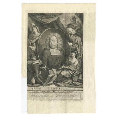
The Company · Moluccas
Antique Portrait of Francois Valentijn, a Missionary who worked at Ambon, 1726
1726 · 30 × 45 cm$180
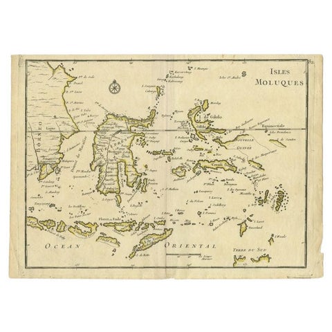
Maps and Sea Charts · Moluccas
Antique Map of the Maluku Islands by Le Rouge, c.1750
1750 · 30.2 × 21.8 cm$175
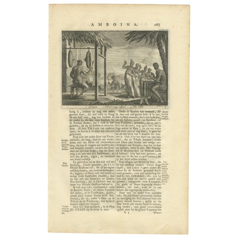
Peoples and Costume · Moluccas
Antique Print of Music Instruments from Ambon by Valentijn '1726'
1726 · 21 × 34 cm$170
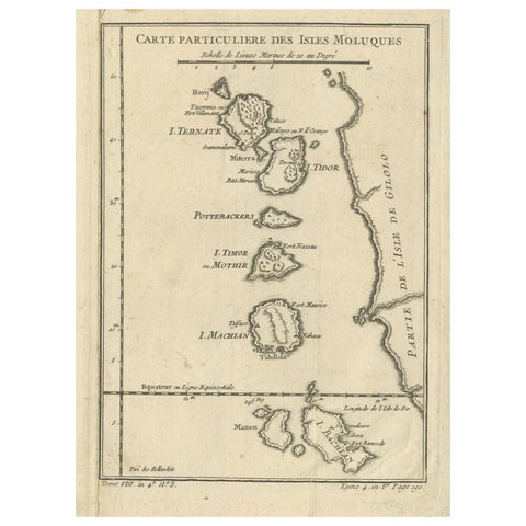
Maps and Sea Charts · Moluccas
Antique Map of the Maluku Islands or Moluccas, Indonesia
Date not stated · 18.2 × 25.6 cm$170