Close-ups
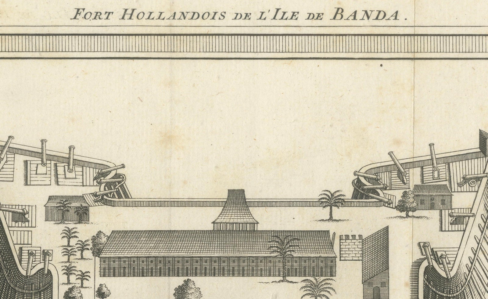
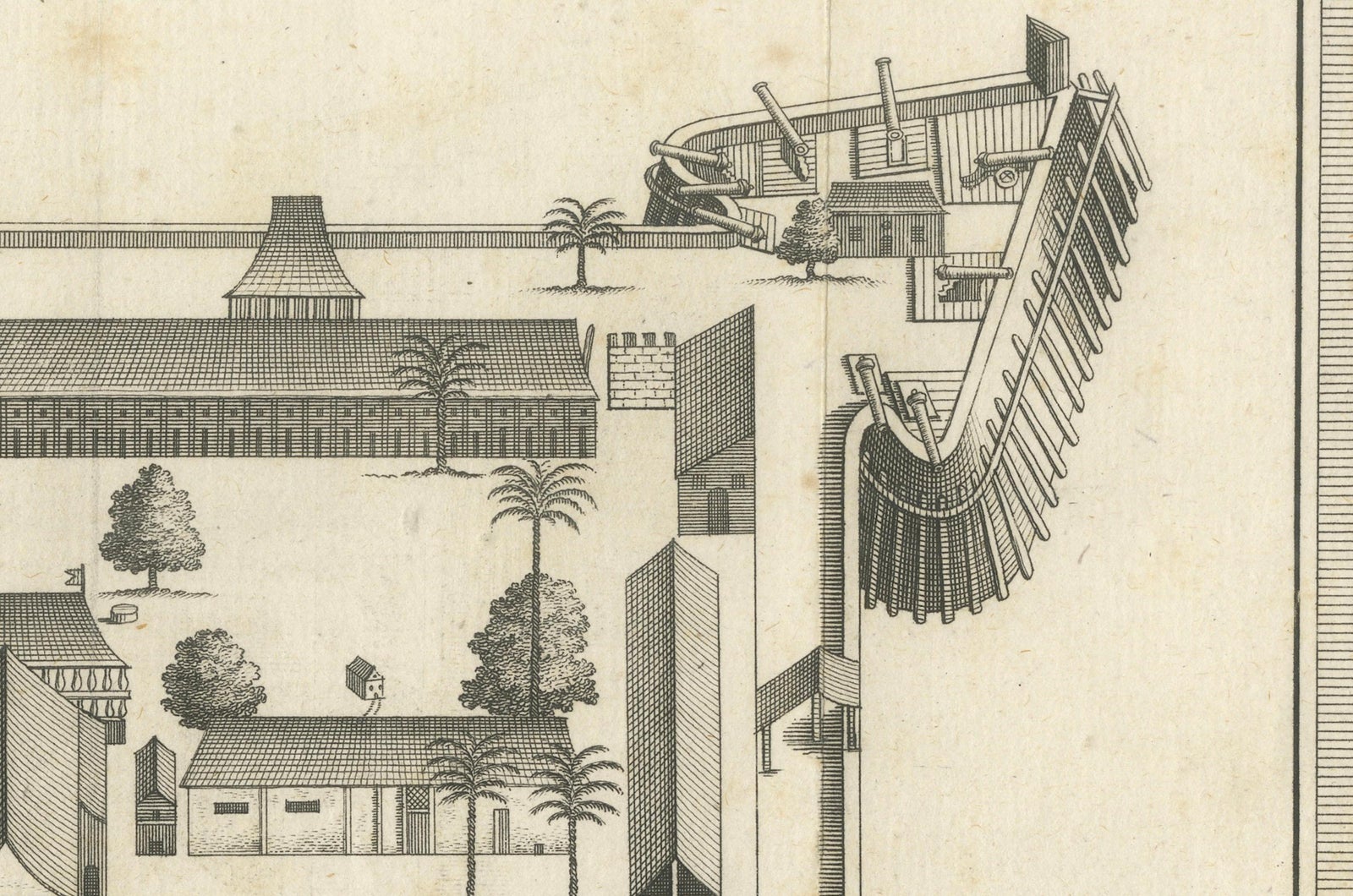
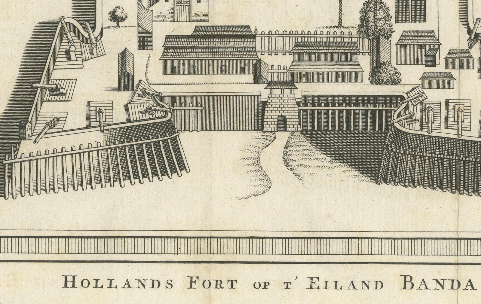
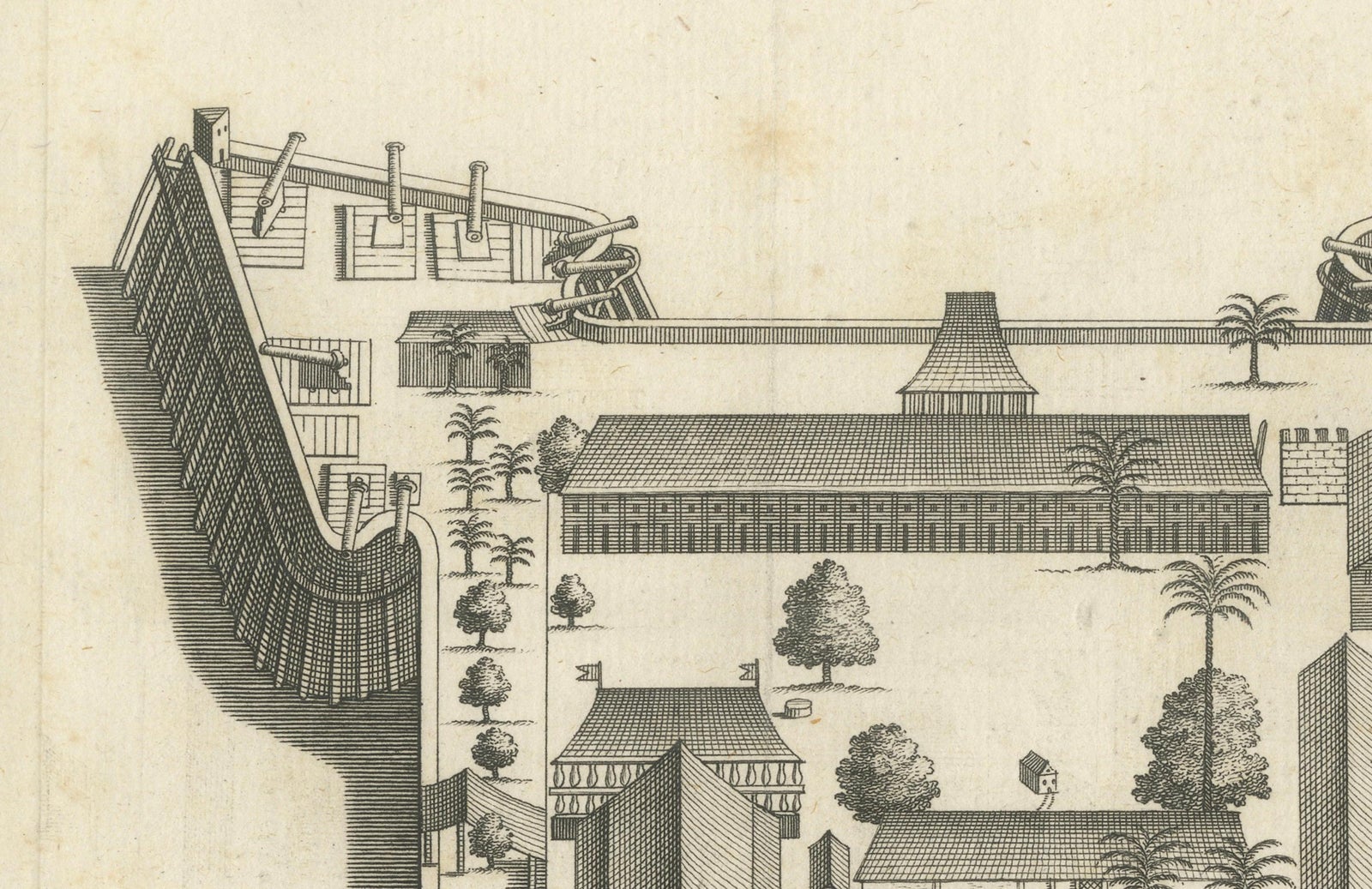
Framed and on the wall
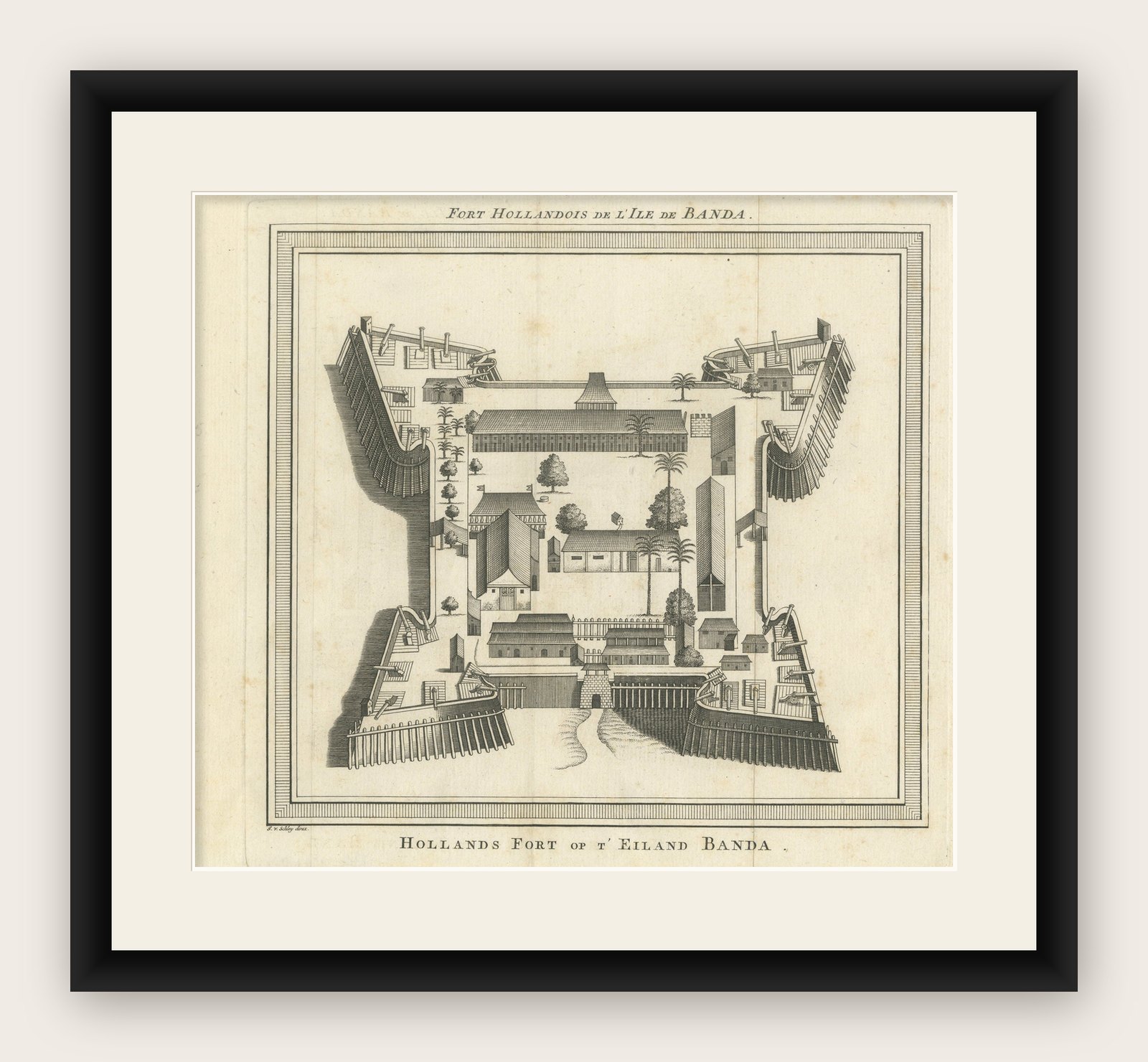


Frame and rooms are illustrations of how the print could look, drawn to its real size; it is sold unframed unless the description says otherwise.
The Company
VOC Fort Nassau at Banda of The Spice Islands, Bird’s-eye View Engraving, c.1740
£245
$325 · €290
Original print, not a reproduction
Ships worldwide from the Netherlands, insured and tracked. 14-day returns.
- Date
- 1740
- Sheet size
- 8.7 × 9.6 in (22 × 24.5 cm)
- Condition
- Good. Very good condition. Clean impression on laid paper. Minor age toning and one vertical fold as issued. No tears or stains. Wide margins and crisp plate lines. A fine example of 18th-century colonial cartography and engraving.
- Island
- Moluccas
- Collection
- The Company
- Period
- The Company, 1700 to 1799
- Stock no.
- f_45131702
What the condition grades mean
- Excellent
- Bright and clean, with no faults worth mentioning.
- Very good
- Only light signs of age, such as faint toning.
- Good
- Normal signs of age for a sheet of this period: toning, some foxing, small marks or neat old repairs.
- Fair
- Clear faults such as staining, tears or repairs, priced to match.
Every fault we see is written in the condition note, and the whole sheet is shown uncropped in the photos.
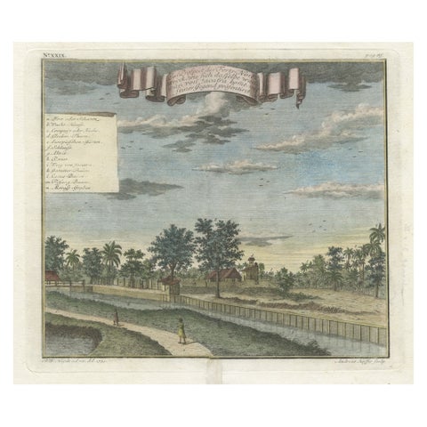
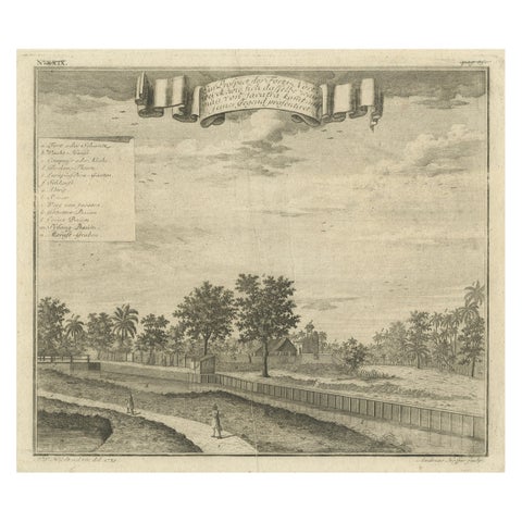
Fort Nassau at Banda, bird’s-eye view engraving by Van der Schley, c. 1735 to 1747
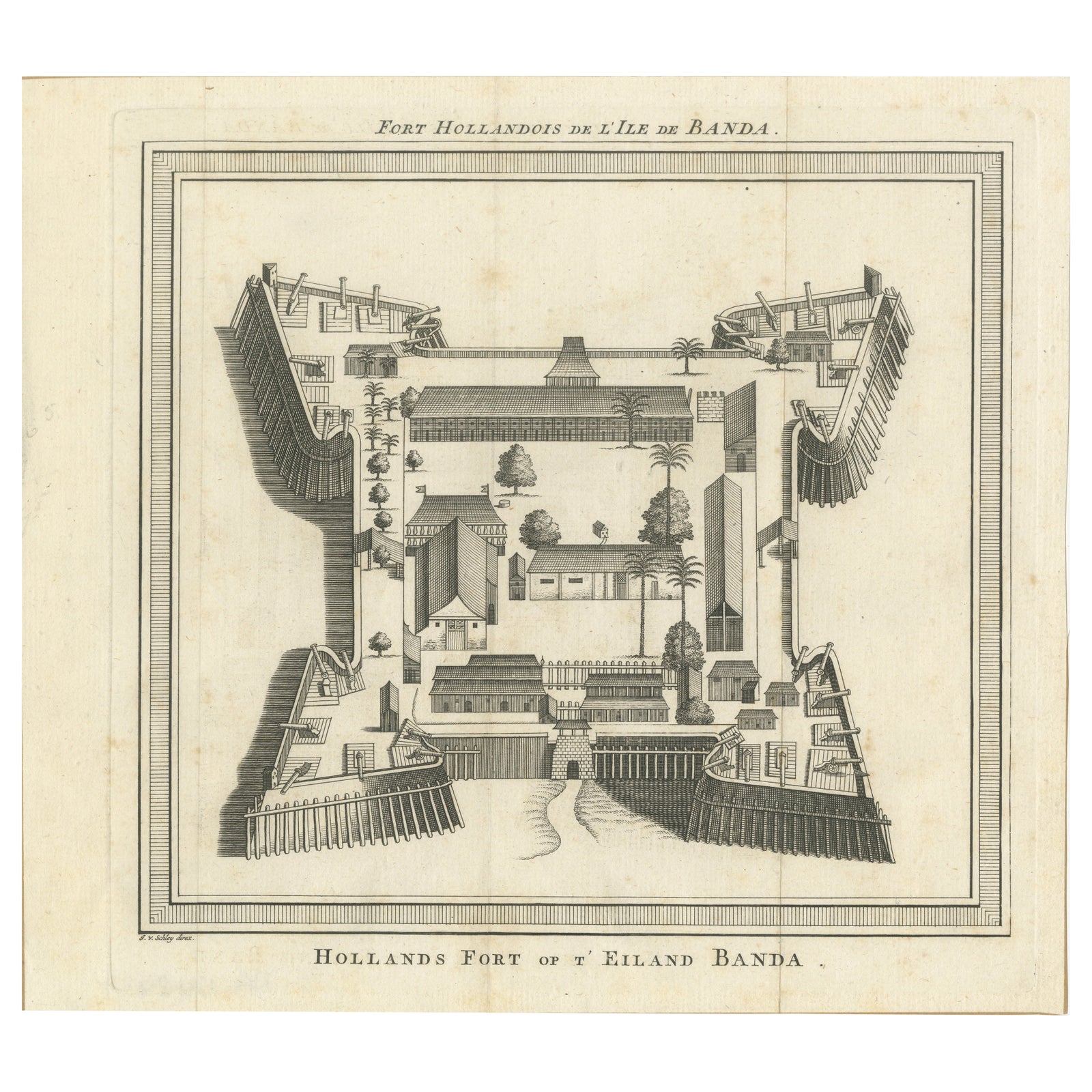
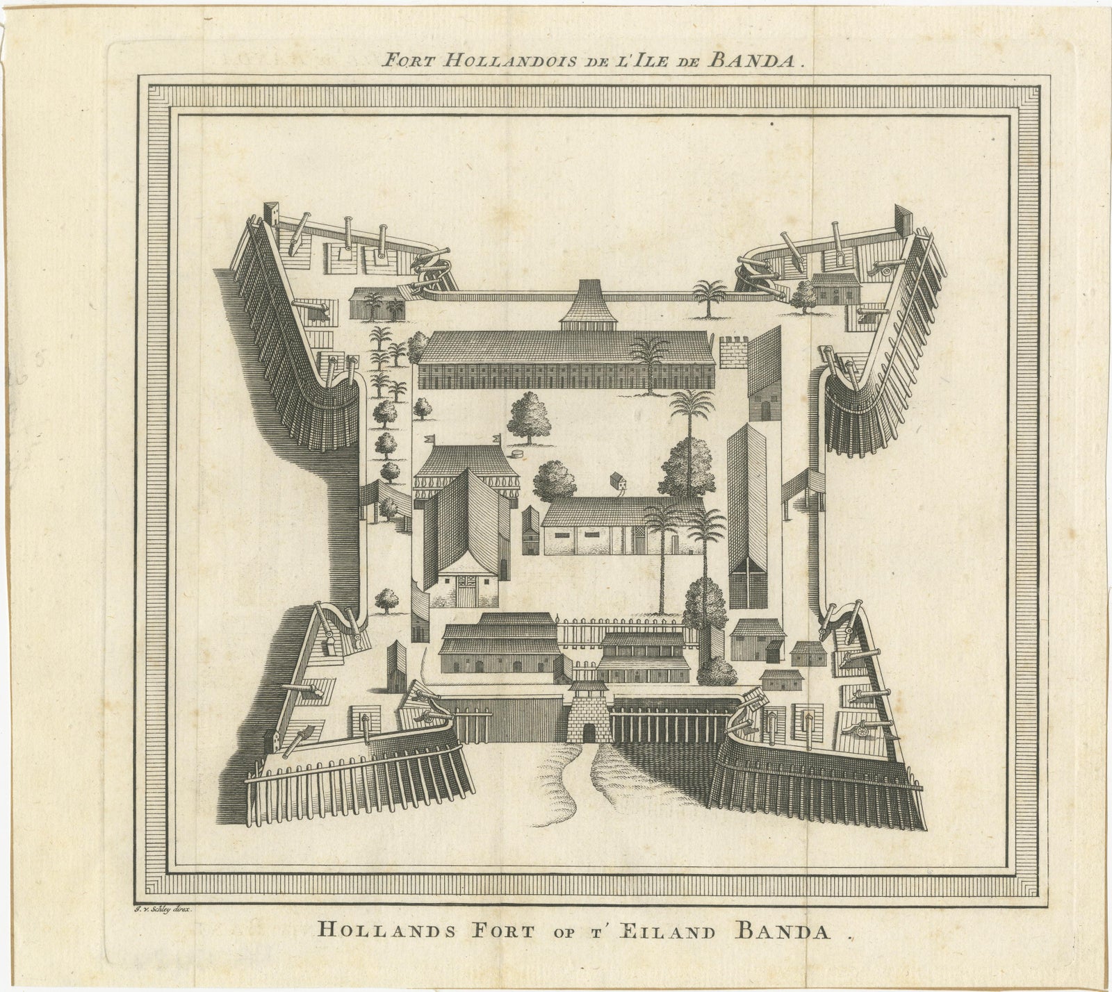
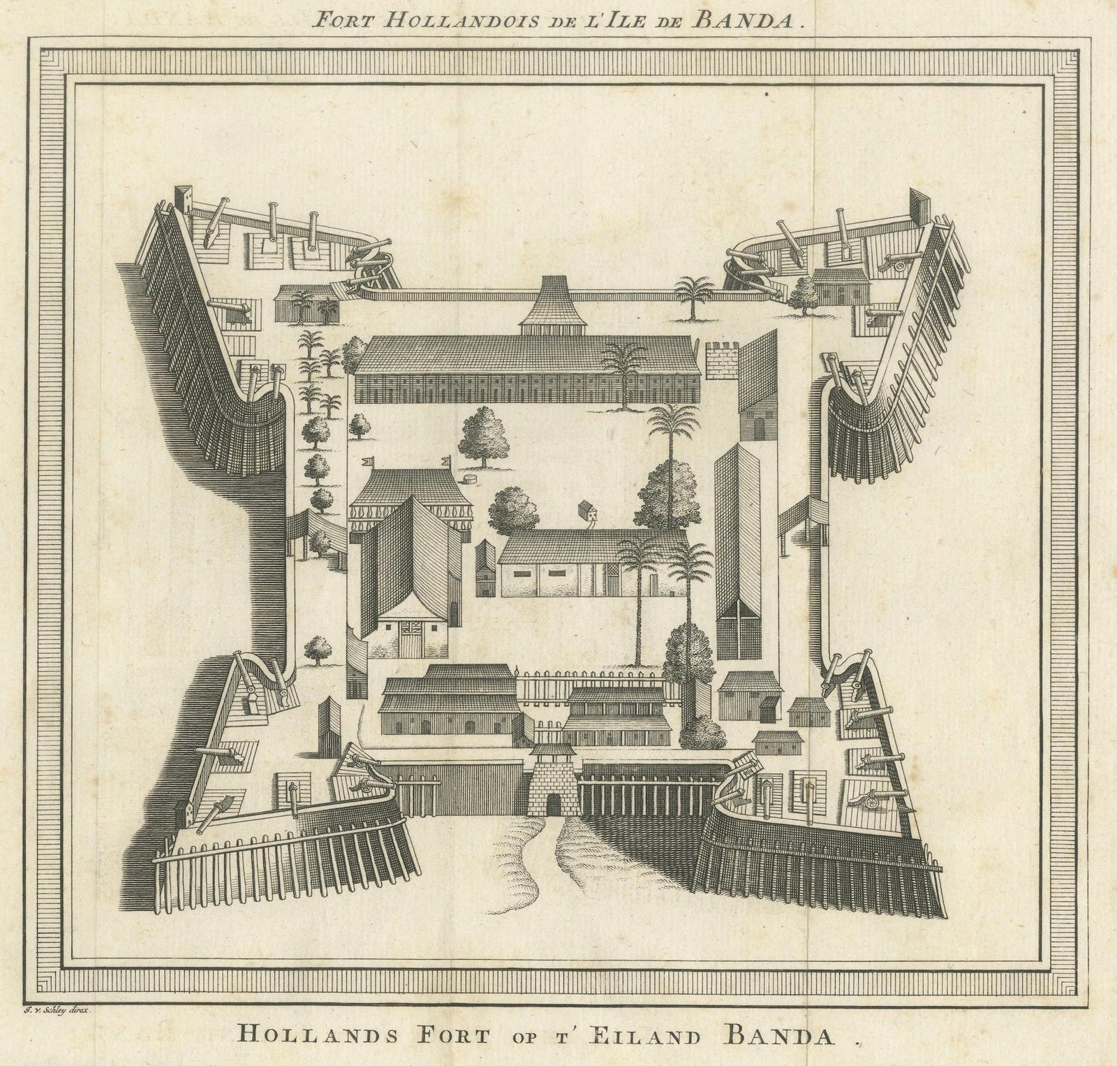
This finely detailed 18th-century engraving presents a bird’s-eye view of Fort Nassau on Banda Neira, one of the Banda Islands in the Moluccas (present-day Indonesia). The engraving was executed by Jacob van der Schley and published by Pieter de Hondt between 1735 and 1747. It appeared in the influential French travel publication Histoire Générale des Voyages by L’abbé Antoine François Prévost d’Exiles, a key work documenting global exploration and colonial enterprise.
The Banda Islands, known as the Spice Islands, were the world’s only source of nutmeg and mace in the 17th century, making them a focal point of fierce colonial competition. The Dutch East India Company (VOC) established Fort Nassau in 1609 as its first stronghold on Banda Neira. Together with the nearby Fort Belgica, it formed a defensive and administrative hub for controlling the spice trade.
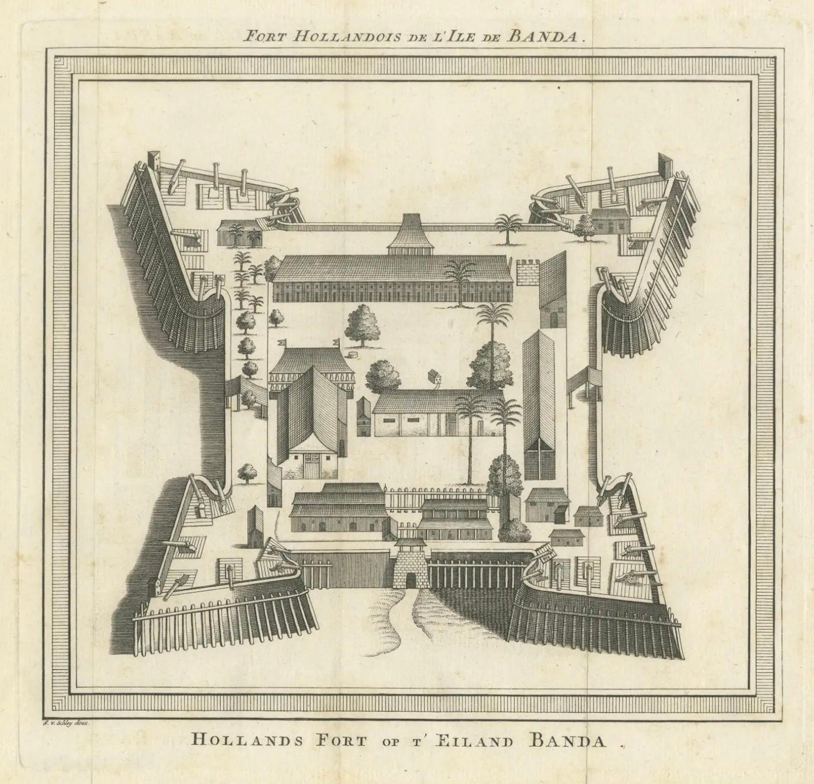
This engraving offers a stylized yet informative overhead perspective of the fort’s interior and ramparts. The square layout is reinforced by four angular bastions at the corners, with heavy palisades and artillery placements. Within the walls, rows of buildings, storage houses, residences, palm trees, and open courtyards are carefully rendered, showing both the defensive and functional aspects of the fort. The symmetry and spatial clarity are typical of Van der Schley’s architectural illustrations, produced in the service of European curiosity about far-flung Dutch colonies.
The French title at the top reads Fort Hollandois de l'Ile de Banda and the Dutch caption below as Hollands Fort op ‘t Eiland Banda, attesting to the international readership of the publication.
This print is of great interest to collectors of VOC history, Southeast Asian colonial maps, and early architectural engravings. It serves not only as a visual record of Dutch military infrastructure but also as a reflection of the intense global competition for spices during the colonial era.
Condition report:
Very good condition. Clean impression on laid paper. Minor age toning and one vertical fold as issued. No tears or stains. Wide margins and crisp plate lines. A fine example of 18th-century colonial cartography and engraving.
Framing tips:
Frame with dark teak or black wood to complement the historic tone. Use a cream or parchment-colored archival mat. Museum-grade UV glass is recommended to preserve detail and prevent fading over time.