Close-ups
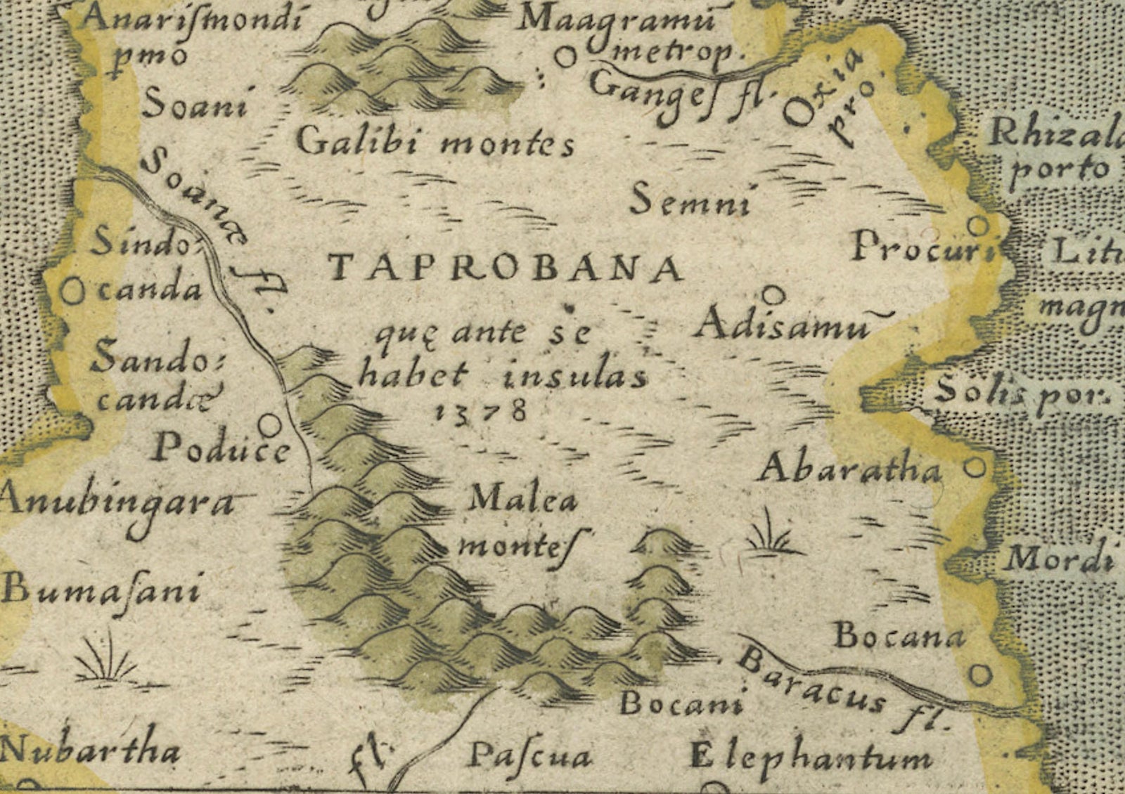
Framed and on the wall
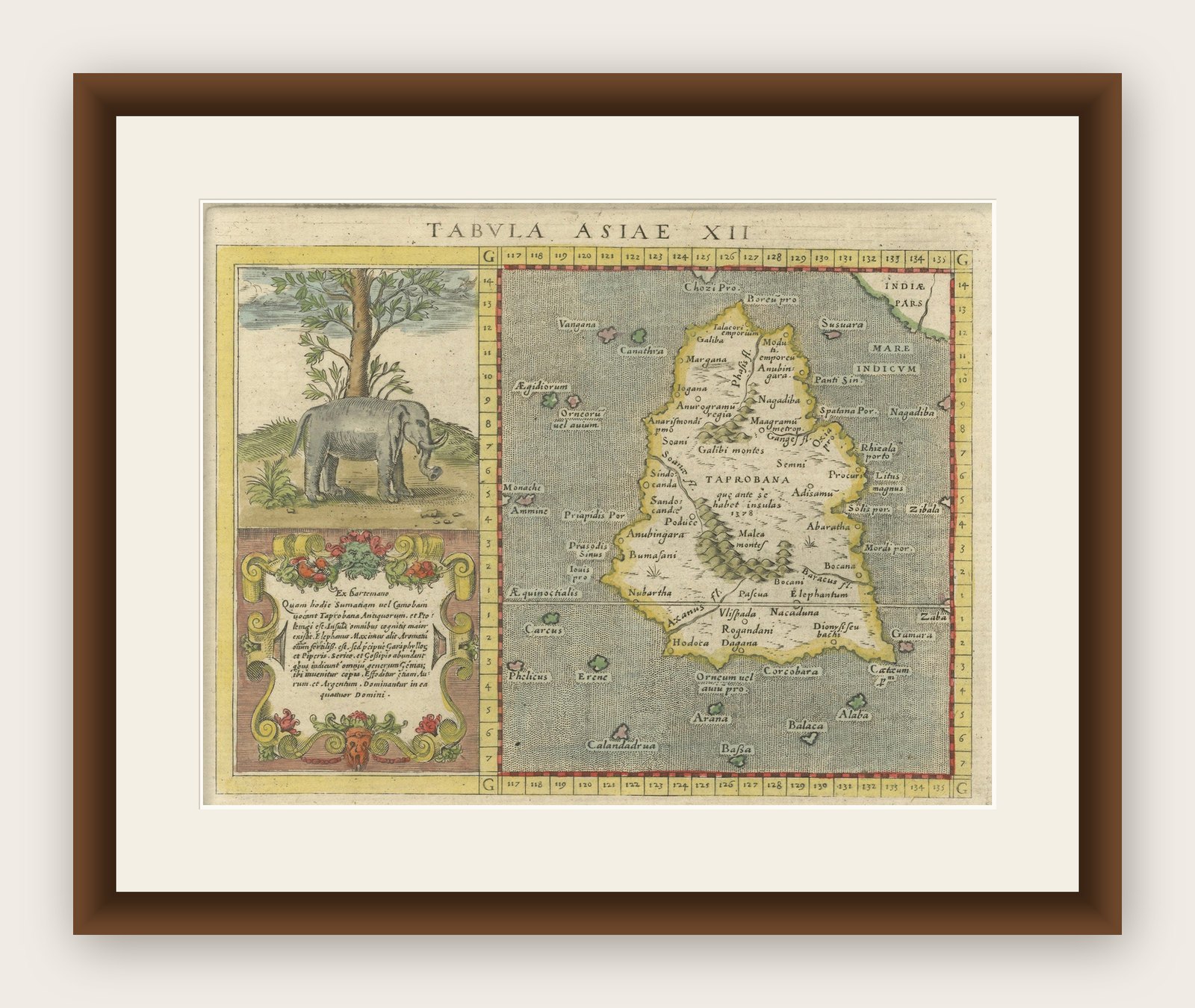


Frame and rooms are illustrations of how the print could look, drawn to its real size; it is sold unframed unless the description says otherwise.
Maps and Sea Charts
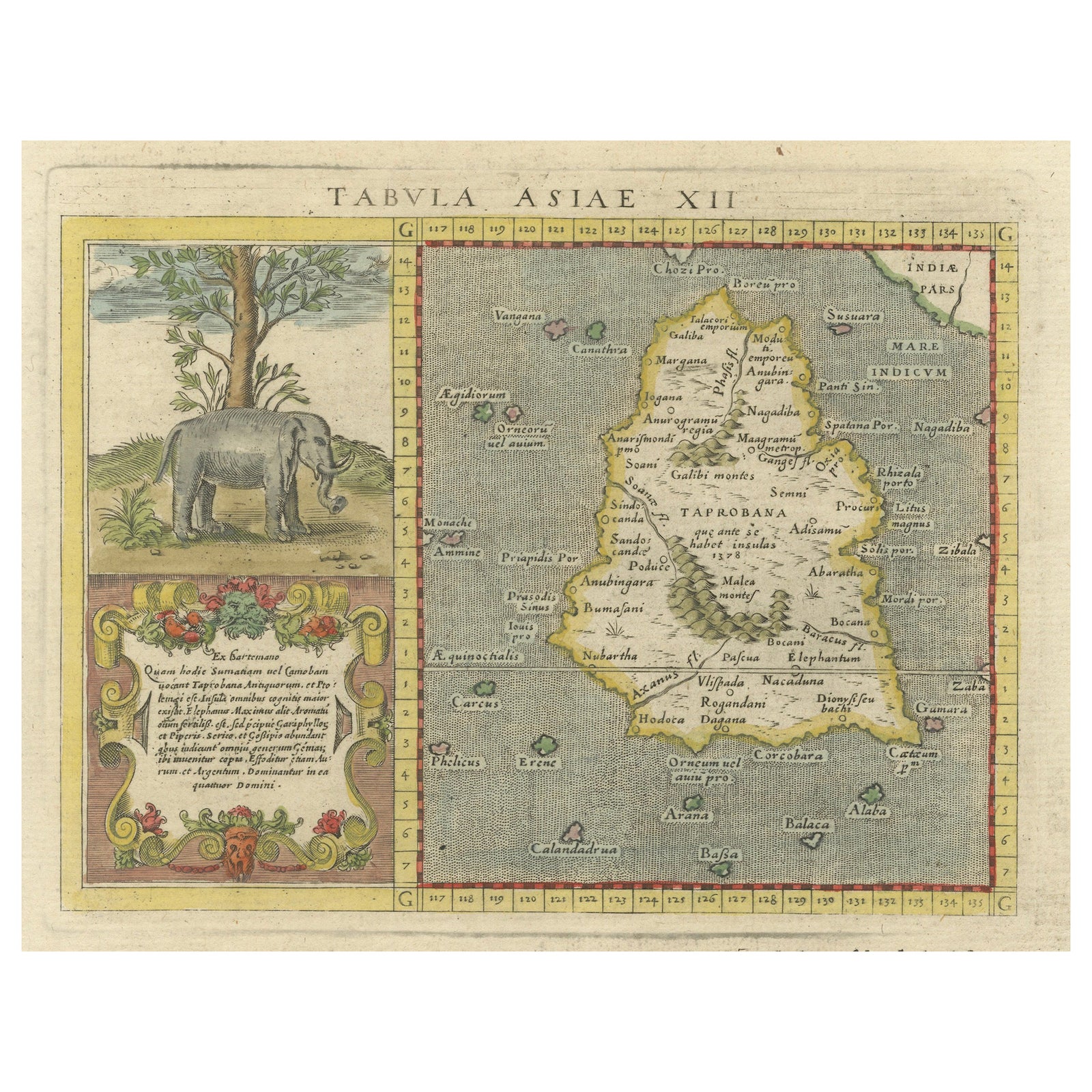
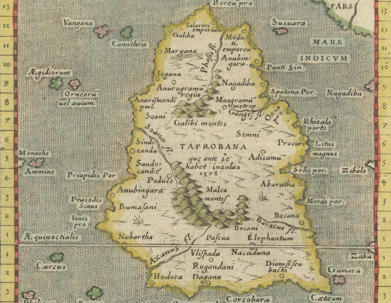
1621 Ptolemy & Magini Map of Taprobana (Sumatra) with Elephant Inset
Taprobana is now Sumatra.
$695
€620 · £520
Original print, not a reproduction
Ships worldwide from the Netherlands, insured and tracked. 14-day returns.
- Date
- 1621
- Sheet size
- 11 × 7.5 in (28 × 19 cm)
- Condition
- Good. Good. The paper remains strong and well-preserved, with visible chain lines indicative of 17th-century laid paper. The engraving lines are crisp and well-defined, showcasing the precision of Girolamo Porro’s work. The hand-coloring is original.
- Island
- Sumatra
- Place names
- Taprobana is now Sumatra
- Collection
- Maps and Sea Charts
- Period
- The spice race, before 1700
- Stock no.
- f_43931082
- Color
- Hand colored
What the condition grades mean
- Excellent
- Bright and clean, with no faults worth mentioning.
- Very good
- Only light signs of age, such as faint toning.
- Good
- Normal signs of age for a sheet of this period: toning, some foxing, small marks or neat old repairs.
- Fair
- Clear faults such as staining, tears or repairs, priced to match.
Every fault we see is written in the condition note, and the whole sheet is shown uncropped in the photos.
Title: 1620 Ptolemy and Magini Map of Taprobana (Sumatra) with Elephant Inset, Italian Edition
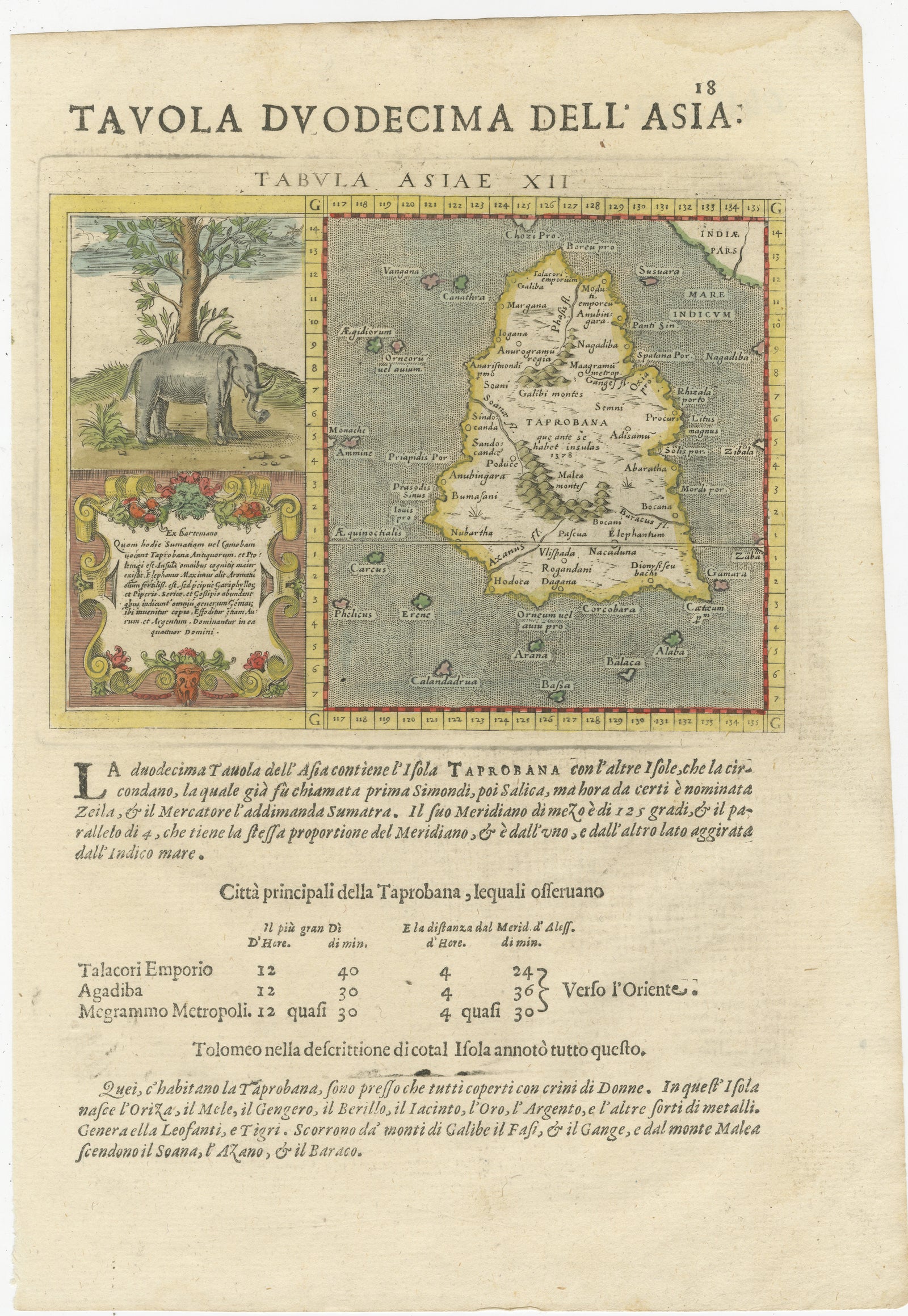
Description: This rare and beautifully hand-colored 1620 map engraving, Tavola Duodecima dell’Asia, originates from Giovanni Antonio Magini’s second Italian edition of Geographia by Claudius Ptolemaeus (Ptolemy), published in Padua by Paolo and Francesco Galignani between 1620 and 1621. The maps were engraved by Girolamo Porro, a leading Italian engraver known for his meticulous and detailed work, which greatly contributed to the Renaissance era’s cartographic advancements.
The map represents the island of Taprobana, an ancient name that has historically been associated with Sumatra or Sri Lanka. It follows the classical Ptolemaic style, rich with geographic annotations and textual descriptions. Taprobana was long considered a mysterious and significant landmass in early European geographical accounts, often exaggerated in size and importance. This map, adhering to Ptolemy’s theories, presents it as a large, detailed island surrounded by the Indian Ocean, labeled as Mare Indicum. The surrounding smaller islands are also illustrated, adding to the early European understanding of Southeast Asian geography.
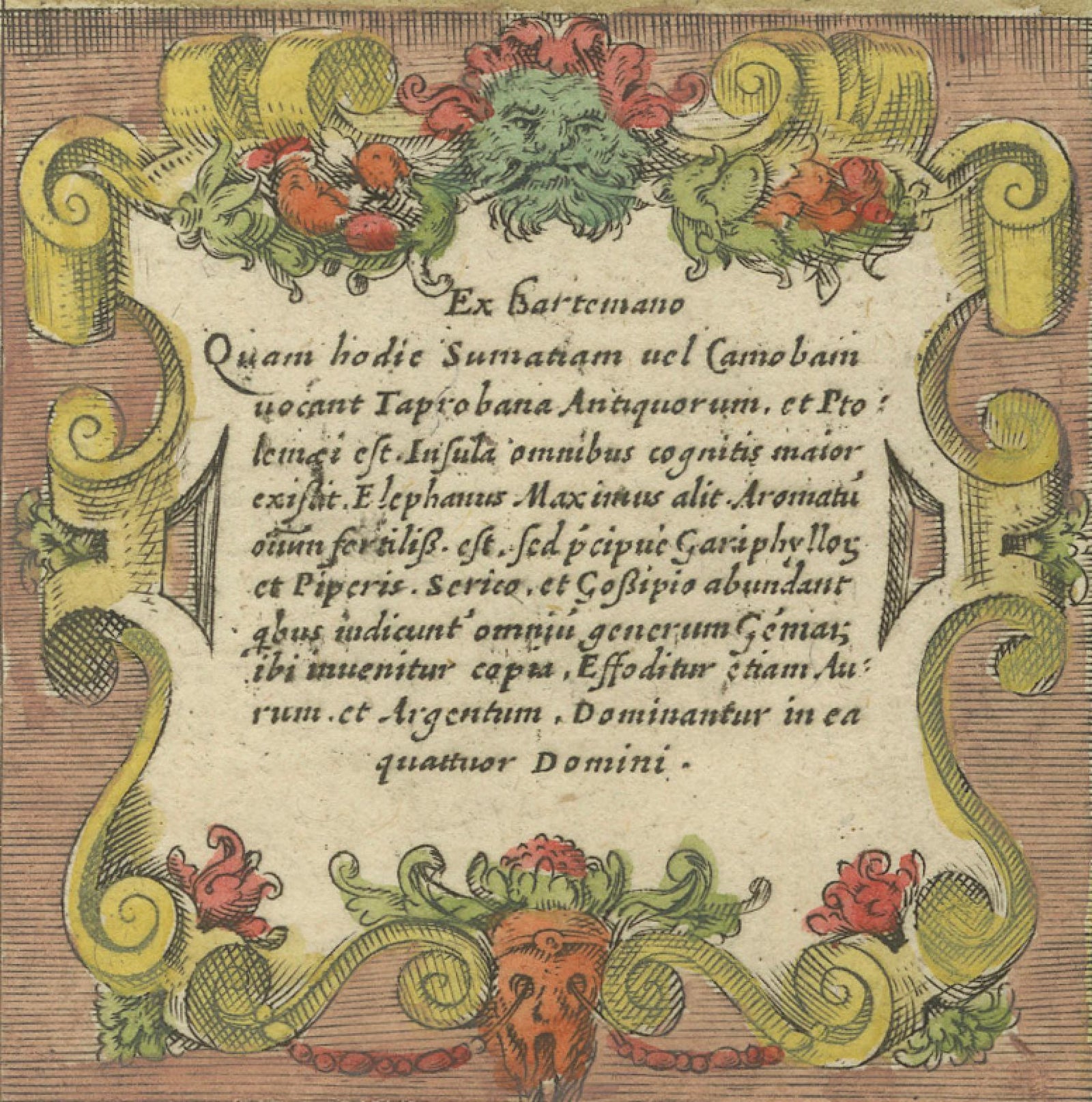
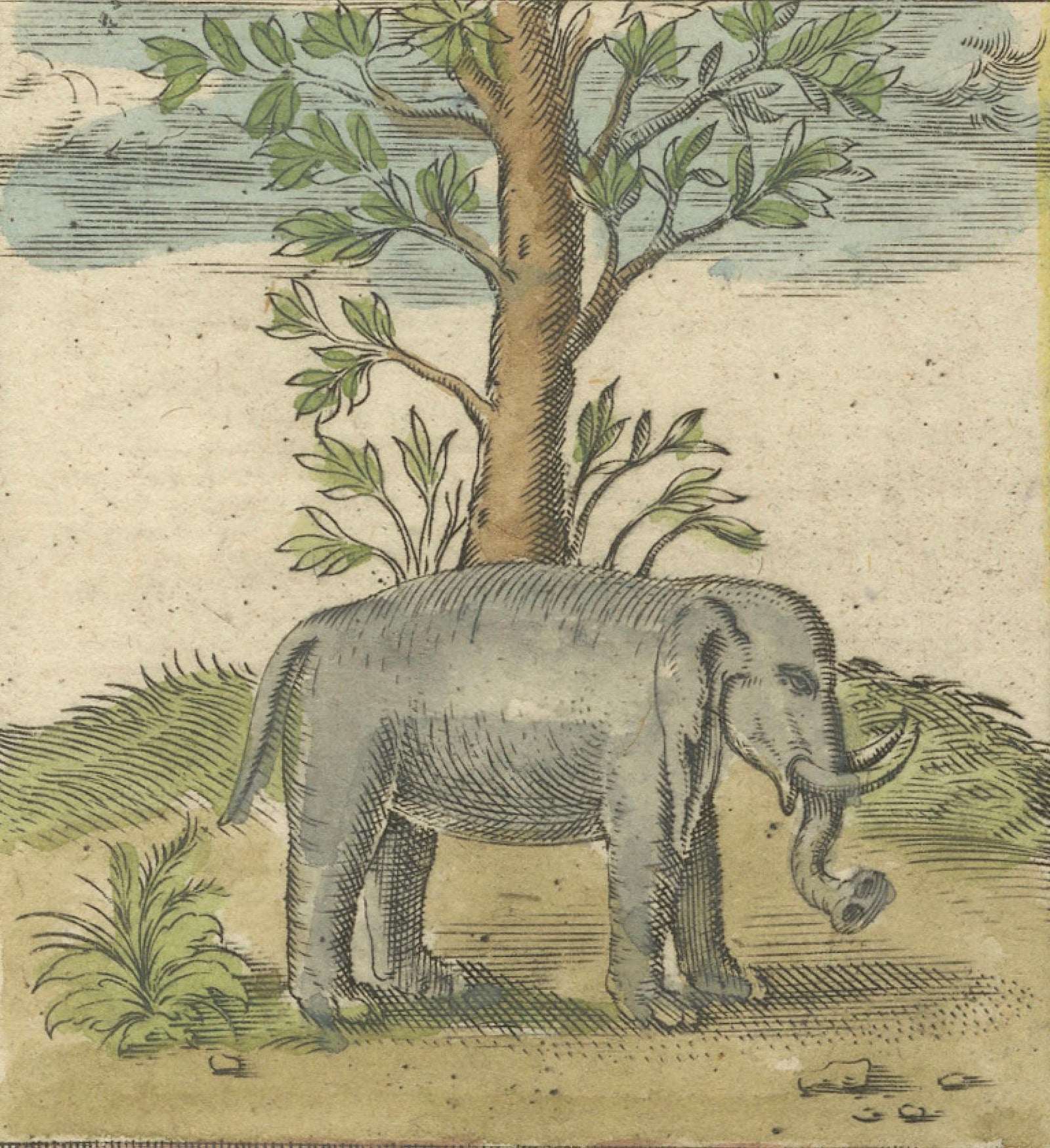
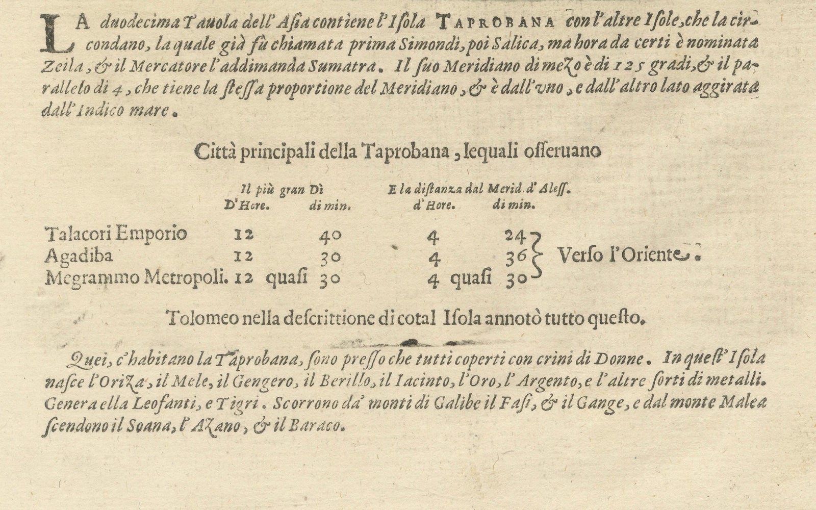
A unique feature of this map is the decorative inset on the left side, which portrays an elephant standing beneath a tree. This illustration highlights the exotic fauna that European explorers and cartographers associated with the region. Below this image, an ornate cartouche contains a Latin inscription that references the wealth of the region, including mentions of gold, silver, gemstones, and various animals such as tigers and elephants. The textual notes at the bottom further elaborate on the natural riches of Taprobana, reflecting early European perceptions of Southeast Asia as a land abundant in resources and trade potential.
This copperplate engraving is a fine example of early 17th-century European mapmaking. The detailed linework and precise geographic depictions reflect the Renaissance fascination with Ptolemaic geography. Magini’s edition of Ptolemy’s Geographia played a crucial role in bridging classical knowledge with 17th-century cartographic advancements, influencing mapmakers of the time.
The paper of this engraving has a fine texture, characteristic of 17th-century Italian printmaking, and the original hand-coloring adds depth and vibrancy to the piece. This historical map is a valuable artifact, reflecting the intersection of classical geography, Renaissance scholarship, and European exploration.
Dimensions:
Approximately 7.5 x 11 inches (19 x 28 cm)
Artist and Cartographers:
Claudius Ptolemaeus (Ptolemy), Greek mathematician, astronomer, and geographer (circa 90 to 168 AD)
Giovanni Antonio Magini, Italian astronomer and cartographer (1555 to 1617)
Girolamo Porro, Italian engraver (circa 1520 to 1604)
Condition Report:
The paper remains strong and well-preserved, with visible chain lines indicative of 17th-century laid paper. The engraving lines are crisp and well-defined, showcasing the precision of Girolamo Porro’s work. The hand-coloring is original and has developed a pleasing patina that enhances the engraving’s aesthetic appeal. The margins are ample with minor toning consistent with age. The Latin and Italian inscriptions remain sharp and legible. There is some light age-toning, slight edge wear, and minor foxing spots, all typical for a print of this age. There are no significant tears, repairs, or damages. This map is in very good condition for its age and would make an excellent addition to any collection of early maps, Ptolemaic cartography, or Southeast Asian historical representations.
Framing Recommendations:
To preserve and enhance the presentation of this antique engraving, consider the following options.
Use museum-quality, acid-free mat board for archival matting and backing to prevent further aging and discoloration. A double mat with an inner accent in gold or ochre tones can complement the engraving’s warm hand-coloring.
Choose a classic wooden frame with a dark walnut or gilded finish to complement the historical aesthetic. A 17th-century-style frame with subtle carvings can enhance the antique character of the map.
Use UV-resistant museum glass or acrylic to prevent fading and protect against light exposure. Anti-reflective glass is recommended to ensure clarity while safeguarding the print.
For mounting, avoid adhesives that could damage the paper. Instead, use archival-quality corner mounts or Japanese paper hinges to secure the engraving without harming its integrity.
Display the framed engraving in a controlled environment away from direct sunlight and high humidity to preserve the vibrancy of the colors and the integrity of the paper. Ideal locations include a study, library, or gallery space where its historical significance can be fully appreciated.
This remarkable 1620 map of Taprobana by Ptolemy and Magini...
Explore