Every map and print
1,015 sheets
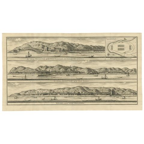
The Company
Antique Print of Fortifications in Indonesia by Valentijn '1726'
1726 · 61 × 34 cm$670
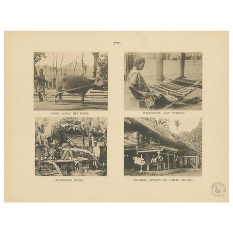
Peoples and Costume · Sumatra
Twelve Prints of Aceh 'Atjeh' Published by E.J. Brill, '1895'
1895 · 25 × 32.5 cm$670
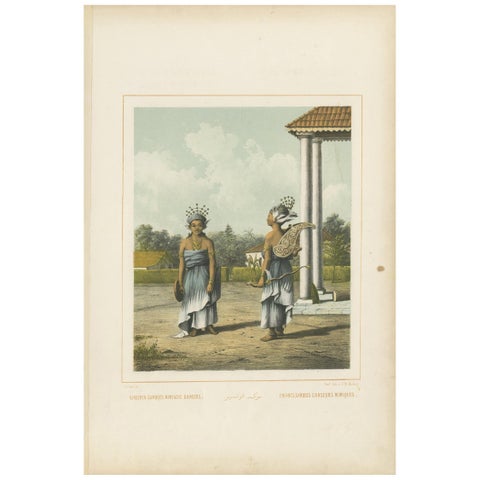
Peoples and Costume
Antique Print of Indonesian Children dressed up as Dancers, Van Pers circa 1850
1850 · 34.5 × 51.5 cm$670
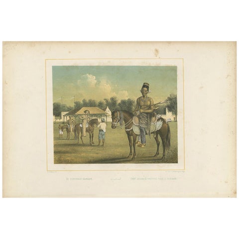
Peoples and Costume · Java
Antique Print of a Javanese Chief Preparing for a Tournament by Van Pers
Date not stated · 51.5 × 34.5 cm$670
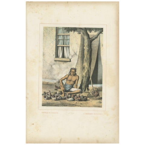
Peoples and Costume · Java
Antique Print of a Javanese Poultry Merchant by Van Pers, circa 1850
1850 · 34.5 × 51.5 cm$670
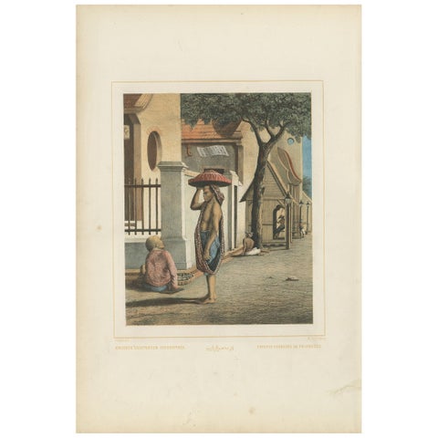
Peoples and Costume · Java
Antique Print of Javanese Children Selling Candy by Van Pers 'circa 1850'
1850 · 34.5 × 51.5 cm$670
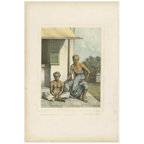
Peoples and Costume · Java
Antique Print of Javanese Stableboys by Van Pers, circa 1850
1850 · 34.5 × 51.5 cm$670
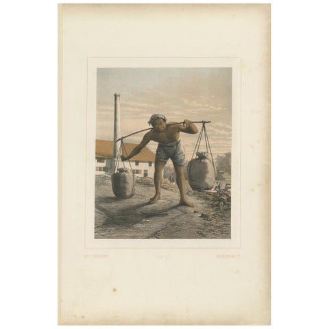
Peoples and Costume
Antique Print of an Indonesian Coal Miner by Van Pers, circa 1850
1850 · 34.5 × 51.5 cm$670
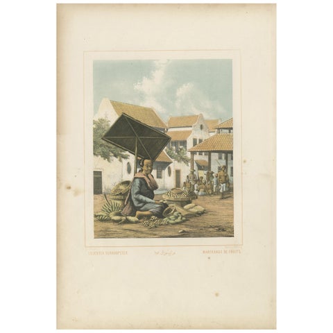
Peoples and Costume · Java
Antique Print of a Javanese Woman Selling Fruit in Indonesia, 1850
1850 · 34.5 × 51.5 cm$670
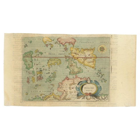
Maps and Sea Charts · Moluccas
Antique Miniature Map of the Maluku Islands by Lasor a Varea, 1713
1713 · 21.8 × 12 cm$670
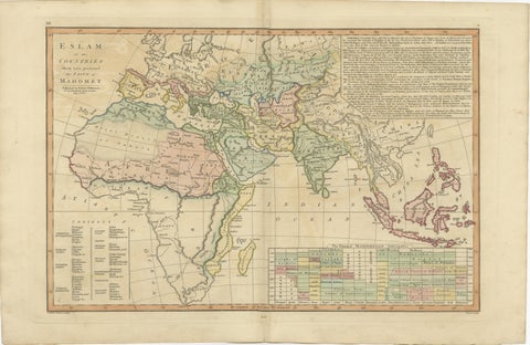
Maps and Sea Charts
Islamic World Map with Africa, Middle East, India, Indies, Wilkinson 1817
1817 · 52.8 × 34.2 cm$660
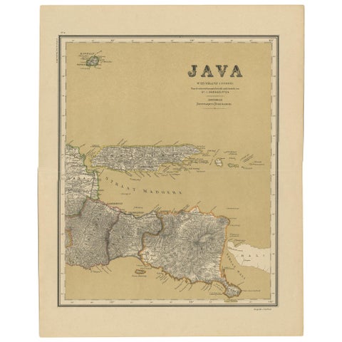
Maps and Sea Charts · Java
Antique Map of Java in 4 sheets by Dornseiffen, 1884
1884 · 39 × 49 cm$660
Maps and Sea Charts · Java
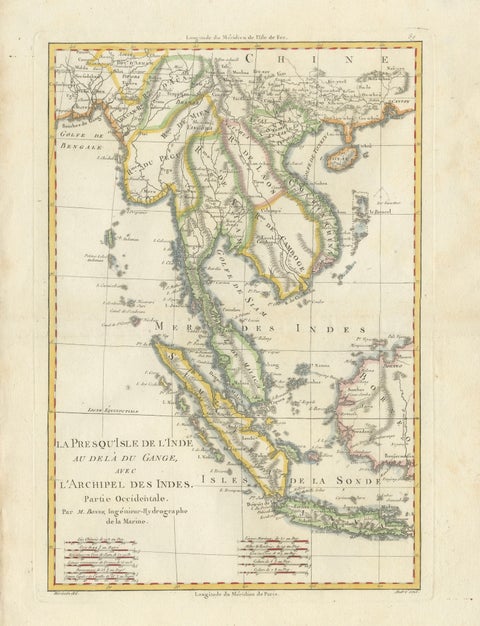
Elegant 18th Century Map of Southeast Asia, Siam, Sumatra & Java by Bonne, 1787
1787 · 31.5 × 45 cm$650
Towns and Landscapes · Java
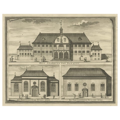
View of the City Hall of Batavia and Portugese Church in Nowadays Jakarta, 1726
1726 · 42.5 × 33.5 cm$640
Maps and Sea Charts · Java
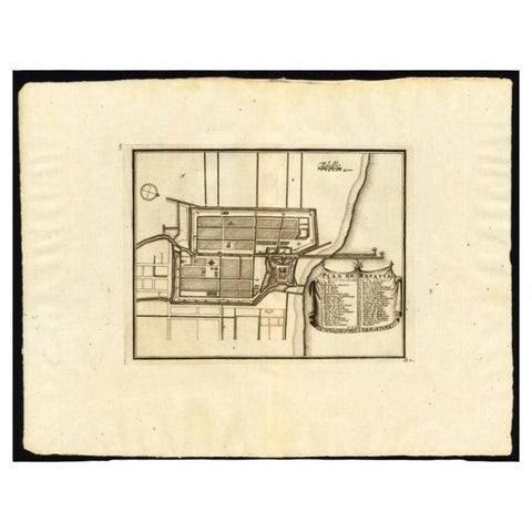
Antique Plan of Batavia, Capital of the Dutch East Indies, by Van Der Aa, 1725
1725 · 49 × 38 cm$640
Towns and Landscapes · Java
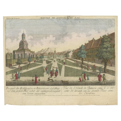
Antique Print of the Town Hall of Batavia or Jakarta in Todays Indonesia, 1770
1770 · 41 × 33 cm$640
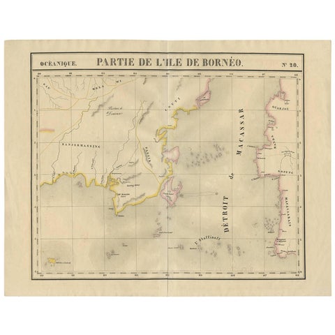
Maps and Sea Charts · Borneo
Antique Map of Southeast Borneo by P.M.G. Vandermaelen, 1827
1827 · 67 × 53 cm$630
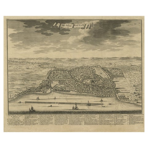
Towns and Landscapes · Java
Decorative View of the Indonesian Town of Bantam 'Banten', Java, 1726
1726 · 42.5 × 32.5 cm$625
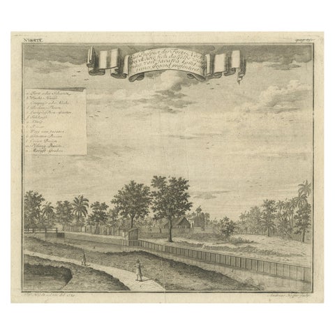
The Company · Java
Old Antique Print of Fort Noordwijk, Batavia in the Dutch East Indies, 1739
1739 · 33 × 26.5 cm$625
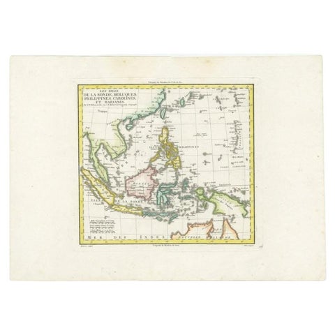
Maps and Sea Charts
Antique Map of Dutch East Indies (Indonesia) by C.F. Delamarche, Circa 1806
1806 · 57 × 44 cm$625
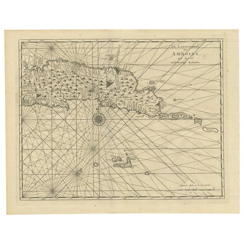
Maps and Sea Charts · Moluccas
Antique Map of Ambon and Surroundings by Valentijn '1726'
1726 · 43 × 34 cm$615
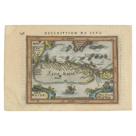
Maps and Sea Charts · Java
Antique Miniature Map of Java by Bertius/Hondius '1618'
1618 · 18 × 12.5 cm$615
Flora and Fauna · Java
The Mountain Flora of Java by Van Steenis '1972'
1972 · 29.5 × 39.5 cm$615
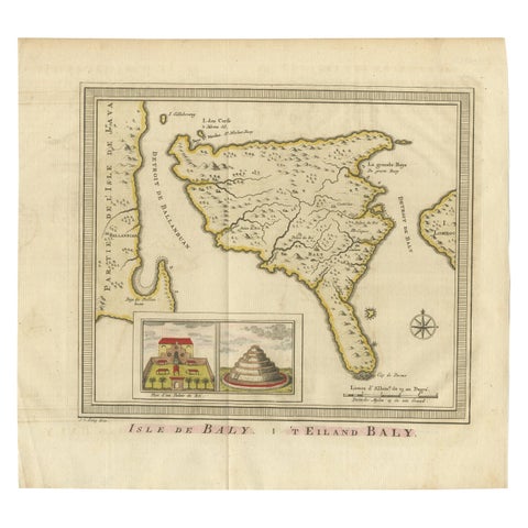
Maps and Sea Charts · Lesser Sunda
Anbtique Map of the Island of Bali by Van Schley '1755'
1755 · 28 × 25.5 cm$615
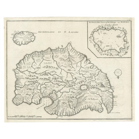
Maps and Sea Charts · Moluccas
Antique Map of Buru Island, Indonesia, c.1725
1725 · 40 × 32 cm$615
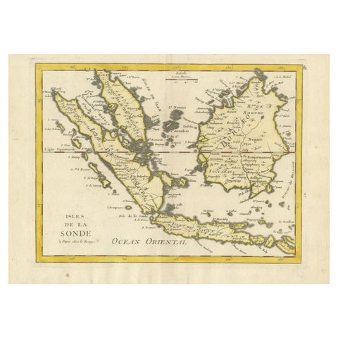
Maps and Sea Charts · Lesser Sunda
Old Original Antique Map of the Sunda Islands of Indonesia, 1756
1756 · 35 × 24.5 cm$615
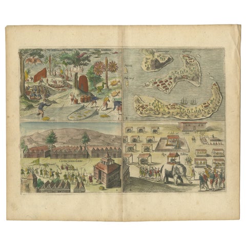
Towns and Landscapes · Moluccas
Antique Engravings of Mauritius and Indonesia, incl de Banda Islands, c.1730
1730 · 31.8 × 22.4 cm$615
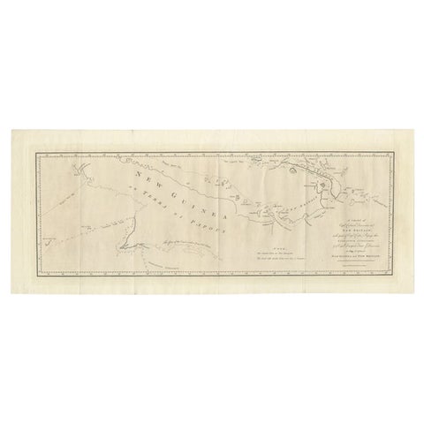
Maps and Sea Charts · New Guinea
Large Antique Map of New Guinea and New Britain Showing Capt. Cooks Tract, 1773
1773 · 29 × 71 cm$615
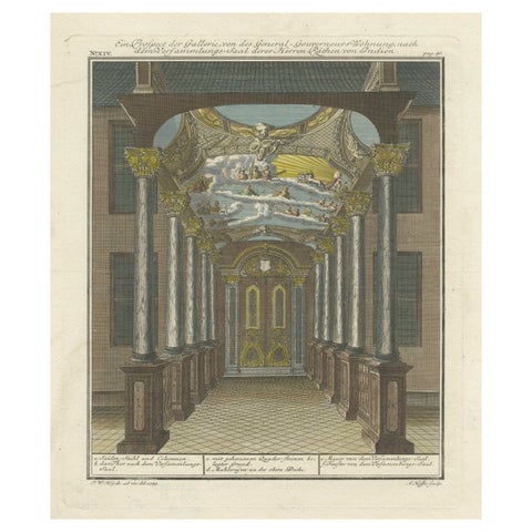
Towns and Landscapes · Java
Print of the Interior of the Governor General's Home on Java (Indonesia), 1739
1739 · 30.2 × 35.8 cm$615
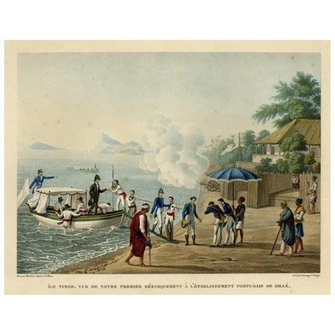
Towns and Landscapes · Lesser Sunda
Print of the French Disembark at the Portugese Settlement of Dille, Timor, 1825
1825 · 50.8 × 34 cm$615
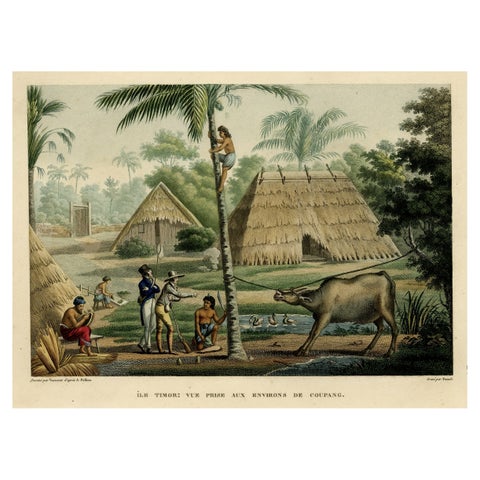
Towns and Landscapes · Lesser Sunda
Old Print of French Travellers Visiting a Village in Kupang, Timor, 1825
1825 · 50.5 × 34.2 cm$615
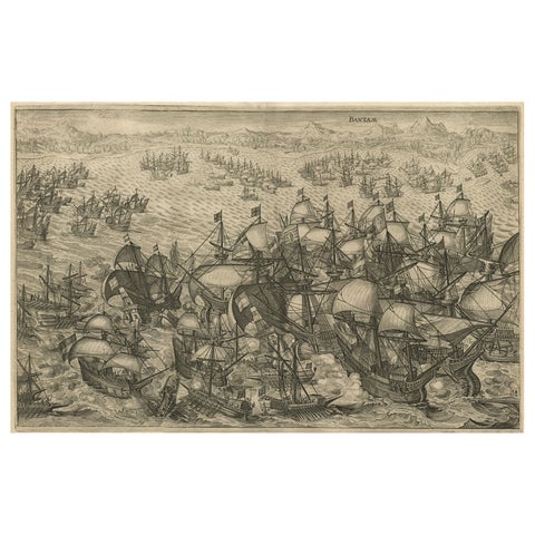
The Company · Java
Engraving of Dutch Attacking the Portuguese Fleet off Bantam, Indonesia, 1644
1644 · 37 × 31 cm$615
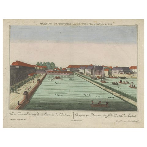
The Company · Java
Antique Print of Batavia Castle in Nowadays Jakarta, Indonesia, circa 1770
1770 · 49.5 × 39 cm$615
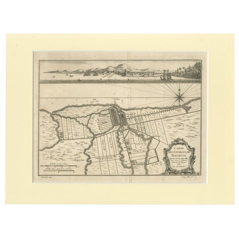
Maps and Sea Charts · Java
Old Engraving of Batavia 'Jakarta, Indonesia' with Map and Harbour View, 1750
1750 · 40 × 30 cm$615
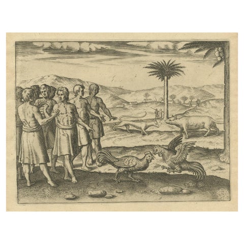
Peoples and Costume · Java
The Cockfight of Java: A 1601 de Bry Engraving of Cultural Pastimes
1601 · 20 × 30 cm$615
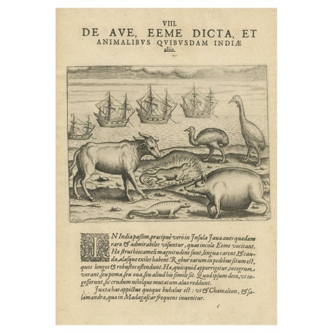
Flora and Fauna
Rare Creatures of the East: A 1601 de Bry Copper Engraving from the Indies
1601 · 20 × 30 cm$615
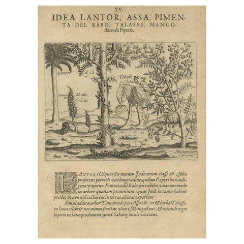
Flora and Fauna
Verdant Wonders: Exotic Trees and Spices of India in De Bry's 1601 Illustration
1601 · 20 × 30 cm$615
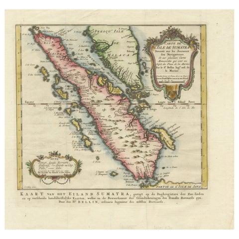
Maps and Sea Charts · Sumatra
Rare 1770 Bellin Map of Sumatra with Stunning Decorative Cartouches
1770 · 34.5 × 33.2 cm$615
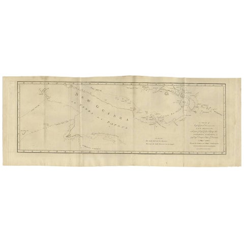
Maps and Sea Charts · New Guinea
Antique Map of New Guinea and New Britain by P. Carteret, circa 1773
1773 · 72.5 × 27 cm$615
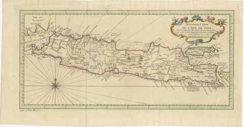
Maps and Sea Charts · Java
Antique Map of Java Indonesia, VOC Period, Decorative Cartouche, c.1750
1750 · 48.5 × 25.6 cm$615
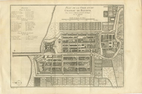
Maps and Sea Charts · Java
Antique Map of Batavia Jakarta Indonesia, Dutch East Indies, c.1750
1750 · 37.8 × 25 cm$610
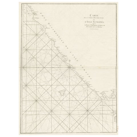
Maps and Sea Charts · Sumatra
Sea Chart of Part of the Southwestern Coast of Sumatra & Nias, Indonesia, C1775
1775 · 55 × 78 cm$605
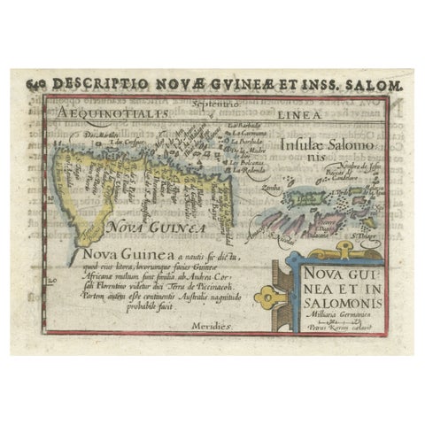
Maps and Sea Charts · New Guinea
Rare Original Miniature Map of Papua New Guinea and the Salomon Islands, 1600
1600 · 18 × 12 cm$605
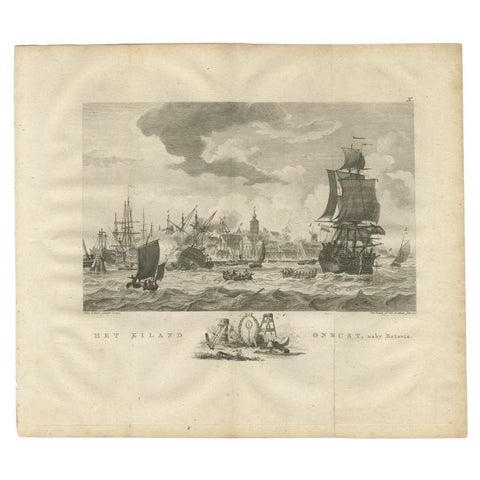
The Company · Java
Antique Print of Ships Near Onrust Island Near Jakarta, Indonesia, 1779
1779 · 33 × 38 cm$605
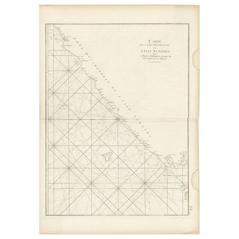
Maps and Sea Charts · Sumatra
Antique Sea Chart of the Coast of Sumatra, Indonesia, circa 1775
1775 · 55 × 78 cm$605
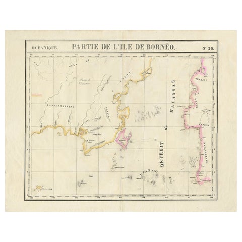
Maps and Sea Charts · Borneo
Detailed Antique Map of a Portion of Borneo and Sulawesi in Indonesia, c.1825
1825 · 69 × 53.5 cm$605
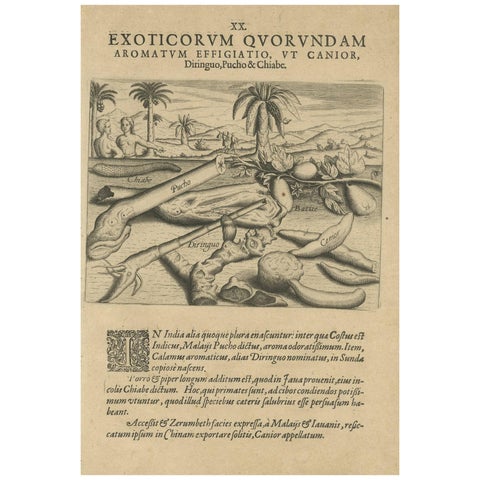
Flora and Fauna
Aromatic Treasures of the Indies: The Enchanting Scents of De Bry’s Collection
Date not stated · 20 × 30 cm$605
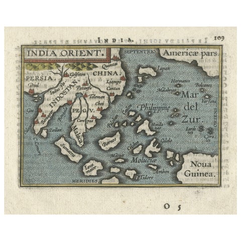
Maps and Sea Charts · New Guinea
1601 Miniature Map of Southeast Asia & Nova Guinea by Ortelius, Vrients Edition
1601 · 15.5 × 12 cm$605