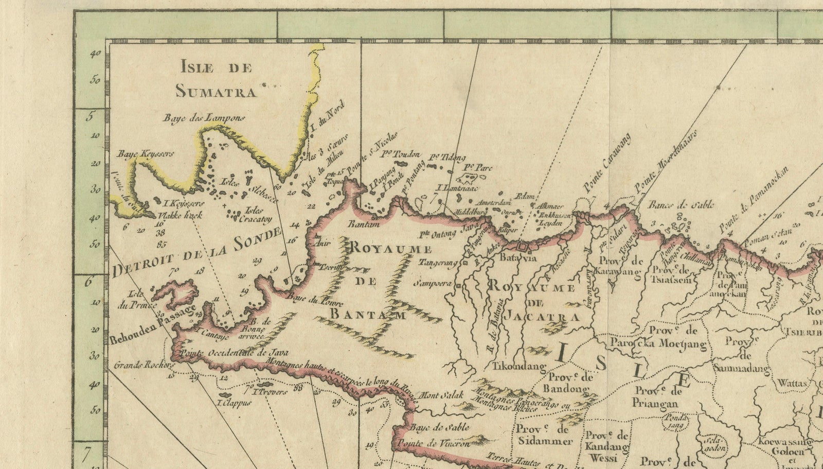
Close-ups
Framed and on the wall
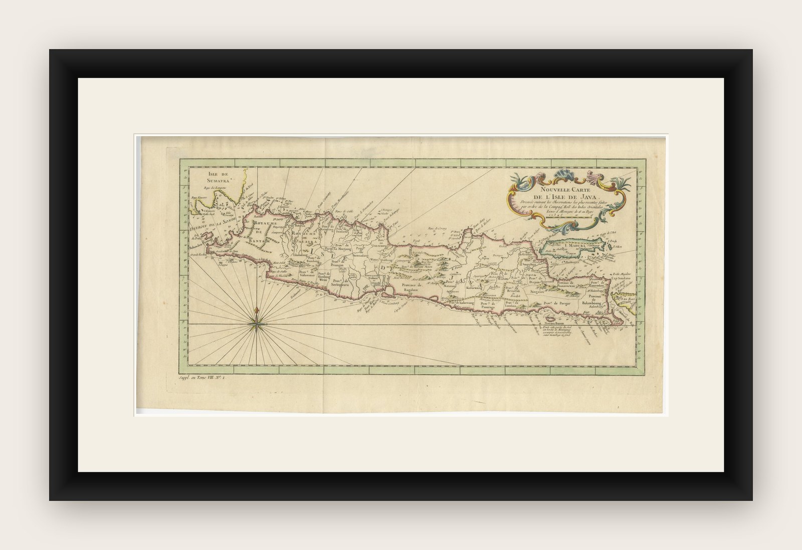


Frame and rooms are illustrations of how the print could look, drawn to its real size; it is sold unframed unless the description says otherwise.
Maps and Sea Charts
Antique Map of Java Indonesia, VOC Period, Decorative Cartouche, c.1750
$615
€549 · £460
Original print, not a reproduction
Ships worldwide from the Netherlands, insured and tracked. 14-day returns.
- Date
- 1750
- Sheet size
- 10.1 × 19.1 in (25.6 × 48.5 cm)
- Condition
- Good. Good condition, with general age-related toning. Original fold lines visible, as issued. Minor wear and light staining in the margins. The engraving remains sharp, with original hand coloring well preserved. Please study the image carefully.
- Island
- Java
- Collection
- Maps and Sea Charts
- Period
- The Company, 1700 to 1799
- Stock no.
- f_49720802
- Color
- Hand colored
What the condition grades mean
- Excellent
- Bright and clean, with no faults worth mentioning.
- Very good
- Only light signs of age, such as faint toning.
- Good
- Normal signs of age for a sheet of this period: toning, some foxing, small marks or neat old repairs.
- Fair
- Clear faults such as staining, tears or repairs, priced to match.
Every fault we see is written in the condition note, and the whole sheet is shown uncropped in the photos.
Antique Map of Java Indonesia, VOC Period, Decorative Cartouche, c.1750
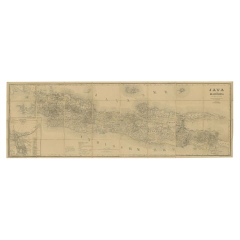
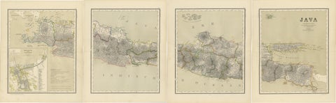
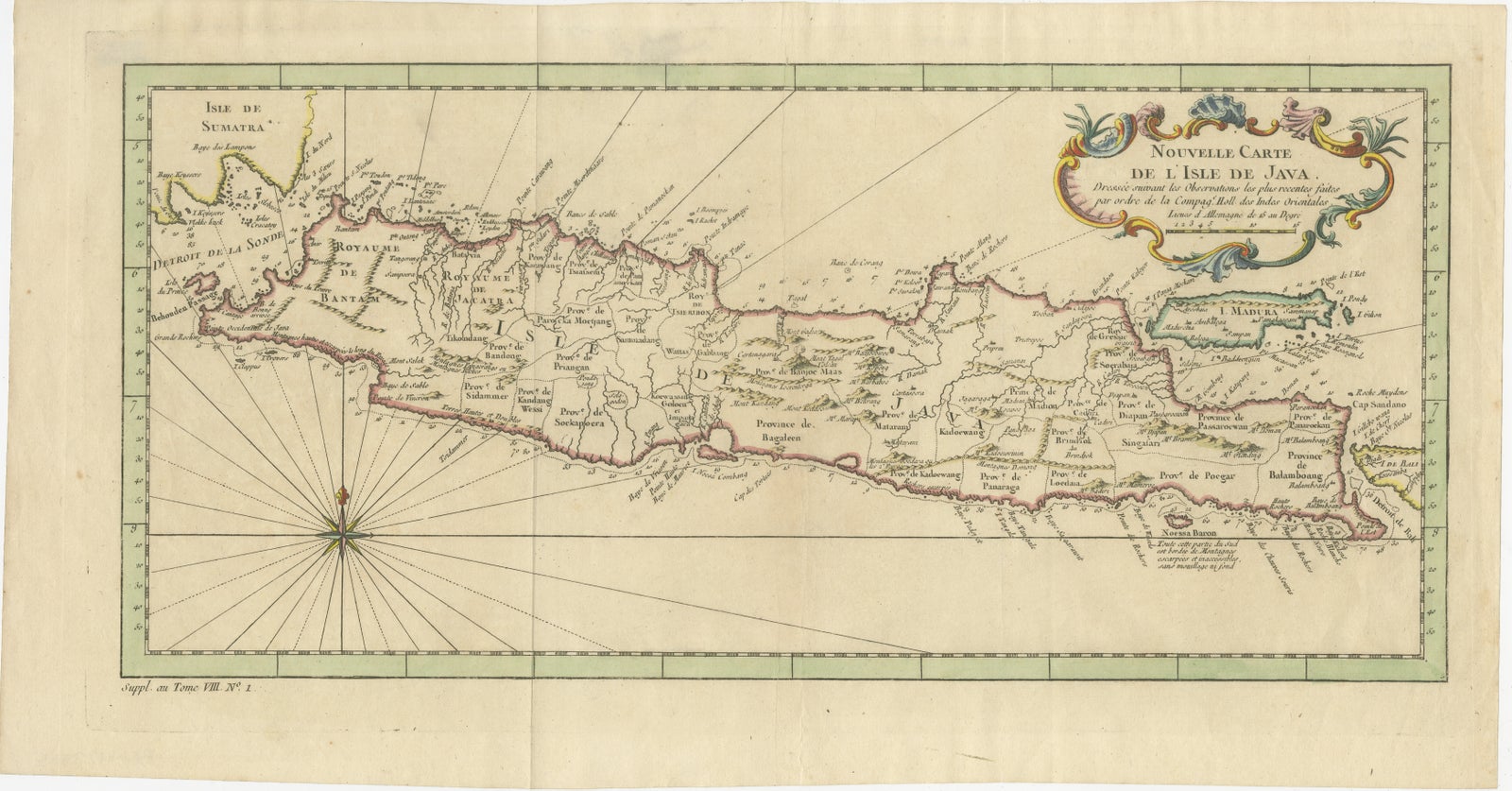
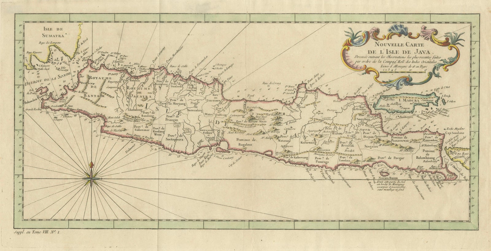
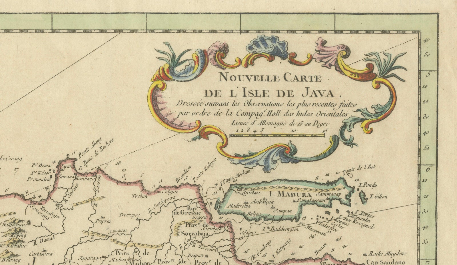
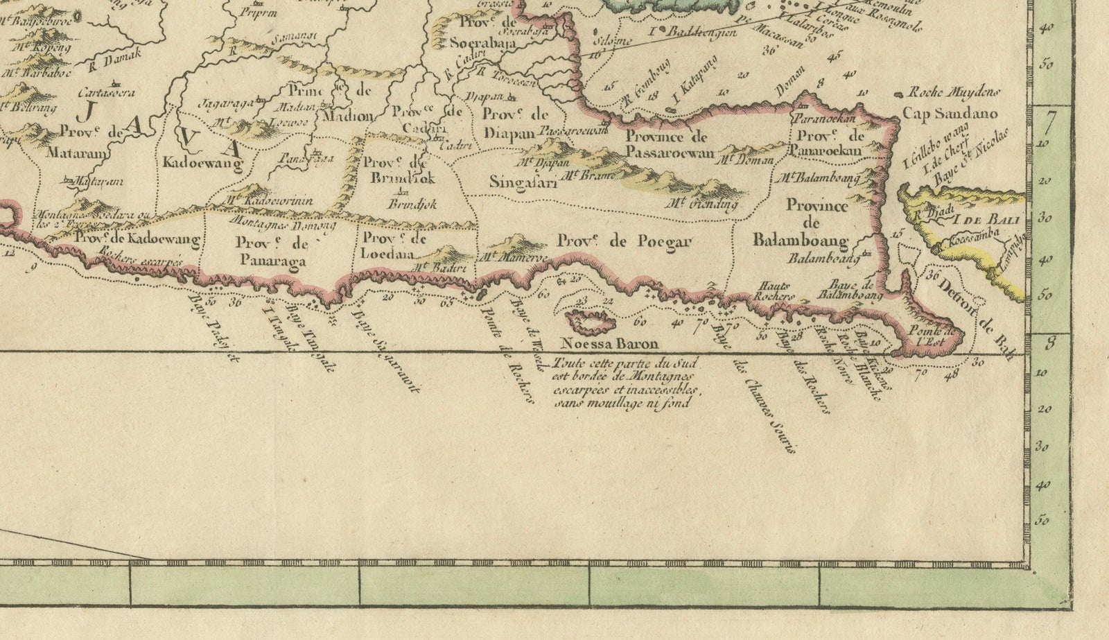
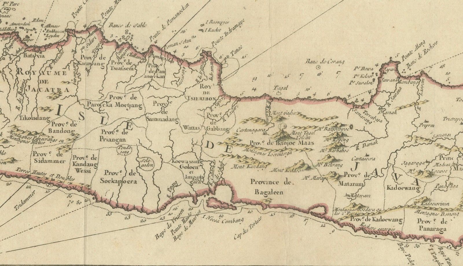
A finely engraved and highly decorative antique map of the island of Java, titled Nouvelle Carte de l’Isle de Java, produced in the mid-18th century during the height of Dutch East India Company (VOC) influence in Southeast Asia. This elegant horizontal composition captures the full extent of Java with remarkable clarity, combining detailed coastal mapping with refined decorative elements typical of French cartography of the period.
The map presents Java in a long panoramic format, stretching from the Sunda Strait in the west to the eastern extremities of the island, with neighboring Sumatra partially visible. The coastline is meticulously delineated, with numerous place names, settlements, and regional divisions carefully engraved. Inland, the island is divided into provinces and territories, reflecting the complex political geography of Java during the VOC era.
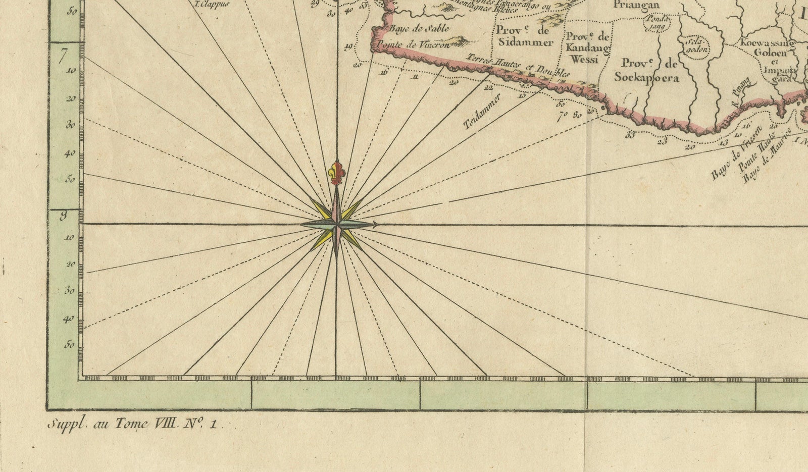
A particularly striking feature is the elaborate rococo cartouche in the upper right, richly adorned with scrollwork and soft original hand coloring. This decorative element elevates the map beyond its geographic function, making it highly suitable for display. In the lower left, a radiating compass rose adds both visual balance and navigational context, reinforcing the maritime importance of the region.
Maps of Java from this period are especially sought after due to the island’s central role in global trade networks, particularly in spices, textiles, and colonial administration. The combination of historical significance, refined engraving, and decorative appeal makes this a standout example for collectors of Southeast Asian cartography.
This is an original 18th-century engraving, not a reproduction.
Condition report:
Good condition, with general age-related toning. Original fold lines visible, as issued. Minor wear and light staining in the margins. The engraving remains sharp, with original hand coloring well preserved. Please study the image carefully.
Framing tips:
This panoramic map benefits from a wide, museum-style presentation. A dark walnut or ebonized frame combined with a generous ivory mat will emphasize its elongated format and decorative cartouche. Particularly effective as a statement piece in a study or above a console.
Technique: Copper engraving with original hand color
Maker: French School, mid-18th century
Explore