Every map and print
1,015 sheets
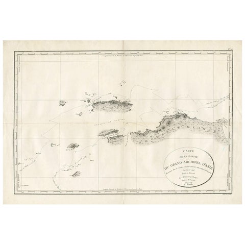
Maps and Sea Charts
Antique Map of Indonesia by C.F. Beautemps-Beaupre, circa 1807
1807 · 84 × 57.5 cm$840
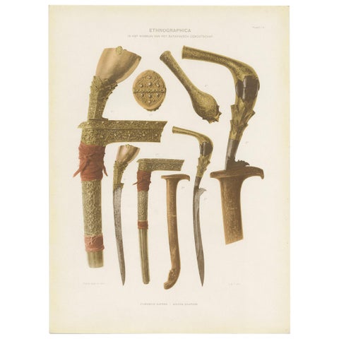
Peoples and Costume · Java
Twelve Prints of Ethnographic Items of Batavia Published by J.W. Teillers '1910'
1910 · 27 × 37 cm$840

Maps and Sea Charts · Java
Rare Small Map of Sumatra, Java, Borneo, Macassar, Madura, Bali, 1614
1614 · 24 × 18 cm$840
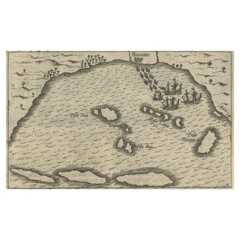
Maps and Sea Charts · Java
Small Map of Bantam with Dutch Ships and an Engraving of Portugese, 1614
1614 · 24 × 18 cm$840
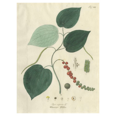
Flora and Fauna
Antique Black Pepper Botanical Print, Piper Nigrum, Hand Colored, c.1831
1831 · 22.7 × 27.1 cm$840
Flora and Fauna
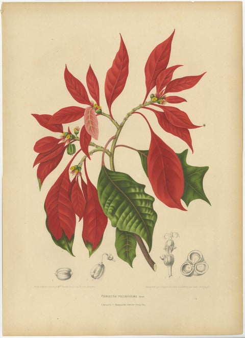
Original Antique Poinsettia Botanical Chromolithograph by Hoola van Nooten, 1880
1880 · 40 × 55.5 cm$840
Maps and Sea Charts · Moluccas
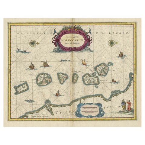
Beautiful Antique Map of the Moluccas or Spice Islands, Indonesia, ca.1650
1650 · 57.5 × 53 cm$830
Towns and Landscapes · Java
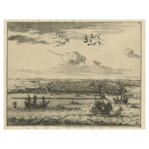
View of the City Banten or Bantam Near the Western End of Java, Indonesia, c1725
circa 1725 · 41 × 30.5 cm$830
Towns and Landscapes · Sumatra
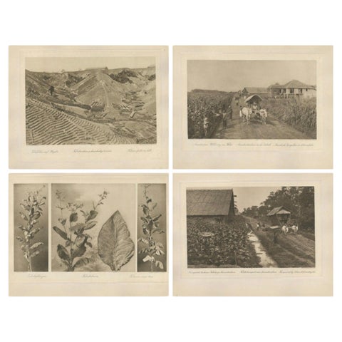
Set of 4 Tobacco Industry Photogravures, Sumatra’s O.K., C.J. Kleingrothe, 1910
1910 · 34 × 45 cm$830
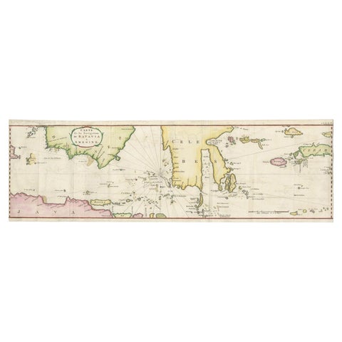
Maps and Sea Charts
Rare Authentic Engraved Map of Large Part of Indonesia by Stavorinus, 1779
1779 · 23 × 74.5 cm$825
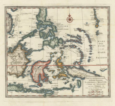
Maps and Sea Charts · Moluccas
Antique Map of the Philippines & Eastern Indonesia: Spice Islands by Tirion 1738
1738 · 48.7 × 37.6 cm$825
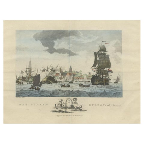
The Company · Java
Beautiful View of Pulau 'Island' Onrust, Batavia 'Jakarta, Indonesia', ca.1805
1805 · 50 × 37 cm$815
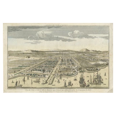
Towns and Landscapes · Java
Antique Print of Batavia or nowadays Jakarta, Indonesia, c.1755
1755 · 43 × 27.5 cm$815
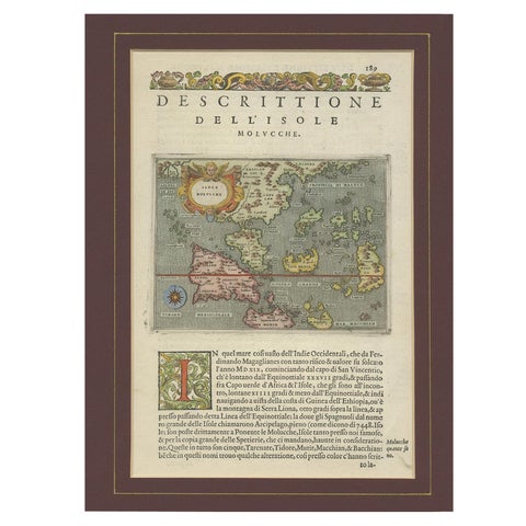
Maps and Sea Charts · Moluccas
Antique Map of the Moluccas by Porcacchi, circa 1620
1620 · 27 × 37 cm$805
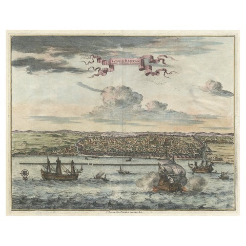
Towns and Landscapes · Java
Original Antique Bird's Eye View of Banten or Bantam in Java, Indonesia, 1725
1725 · 37.5 × 32 cm$805
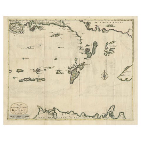
Maps and Sea Charts · Moluccas
Old Antique Map of the Banda Islands (Southeast), Indonesia & Northern Australia
Date not stated · 61 × 51.5 cm$780
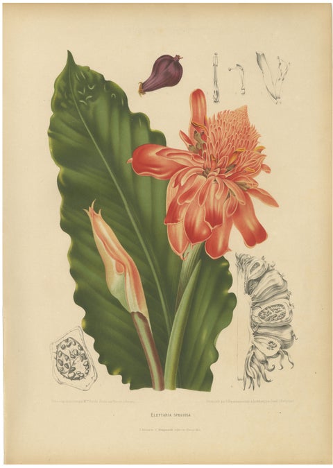
Flora and Fauna
Antique Botanical Chromolithograph of Torch Ginger by Hoola van Nooten, c.1880
1880 · 40 × 55.5 cm$780
Flora and Fauna
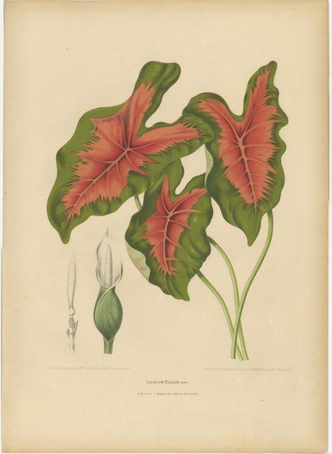
Heart of Jesus Caladium, Original Antique Botanical Print by van Nooten, c.1880
1880 · 40 × 55.5 cm$780
Flora and Fauna
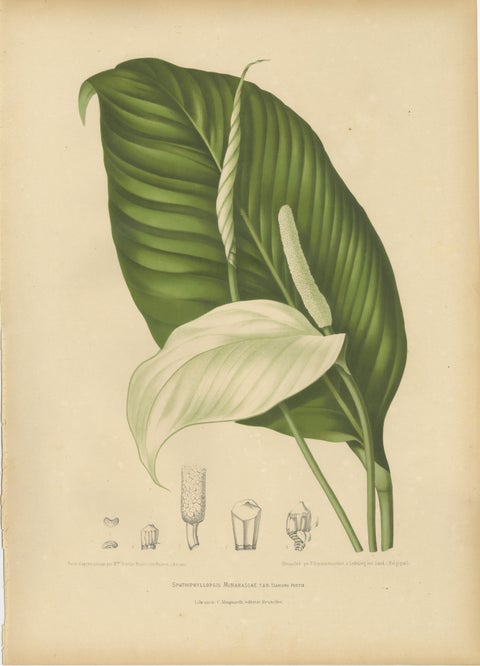
Original Antique Peace Lily Botanical Chromolithograph by Hoola van Nooten, 1880
1880 · 40 × 55.5 cm$780
Maps and Sea Charts · Moluccas
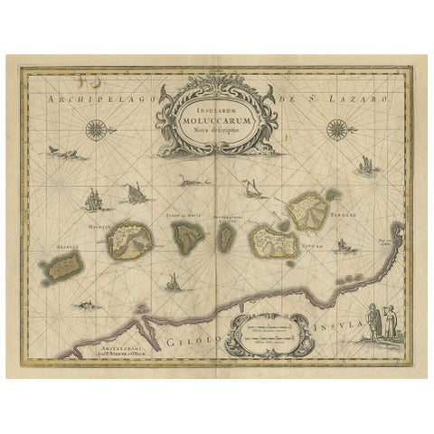
Old Map of the Moluccas, Known as the Famous Spice Islands, Indonesia, ca.1730
1730 · 58.4 × 44 cm$770
Flora and Fauna
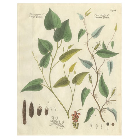
Antique Long & Cubeb Pepper Botanical Print, Piper Species, c.1831
1831 · 22.7 × 27.1 cm$770
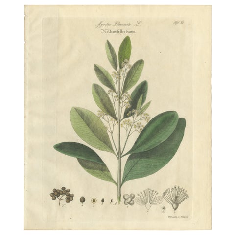
Flora and Fauna
Antique Allspice Botanical Print, Myrtus Pimenta, Hand Colored, c.1831
1831 · 22.7 × 27.1 cm$770
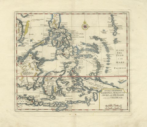
Maps and Sea Charts · Celebes
Antique Map Philippines, Moluccas, Celebes, Spice Islands, Tirion, c.1738
1738 · 48.7 × 37.6 cm$770
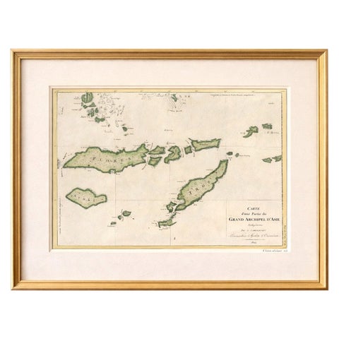
Maps and Sea Charts · Lesser Sunda
Antique Map of Flores, Timor and the Sunda Islands, French, c.1790
1790 · 56 × 32 cm$770
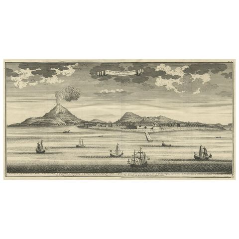
The Company · Moluccas
Beautiful Old View of Spice Island Banda Neira with Fort Nassau, Indonesia, 1726
1726 · 59 × 34 cm$770
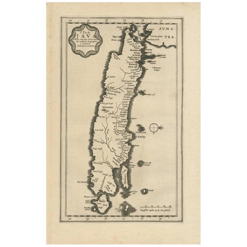
Maps and Sea Charts · Java
Antique Map of the Island of Java, Indonesia by P. Van Der Aa, 1713
1713 · 21.3 × 32.8 cm$760
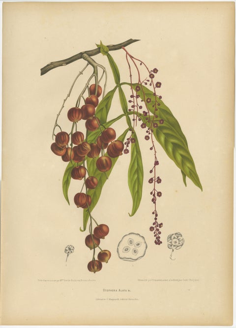
Flora and Fauna
Original Antique Winged Lychee Botanical Print by Hoola van Nooten, 1880
1880 · 40 × 55.5 cm$760
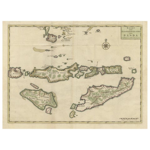
Maps and Sea Charts · Moluccas
Old Antique Map of the Sumbawa, Flores, Timor in the Banda Region of Indonesia
Date not stated · 53 × 39.5 cm$745
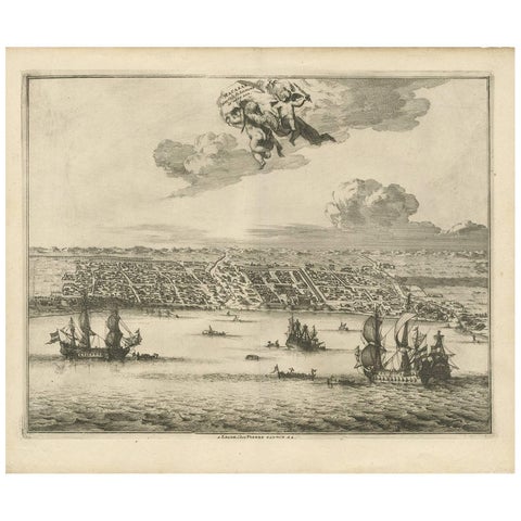
Towns and Landscapes · Celebes
Antique Print of Makassar 'South Sulawesi, Indonesia' by P. van der Aa
circa 1725 · 39.7 × 32.7 cm$745
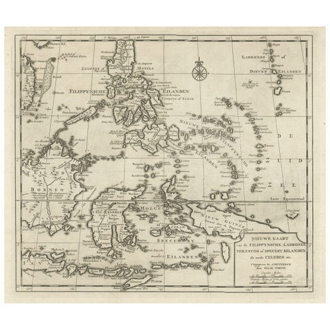
Maps and Sea Charts · Moluccas
Old Map of the Philippines and Part of Indonesia 'Spice Islands', 1744
1744 · 40 × 33.5 cm$740
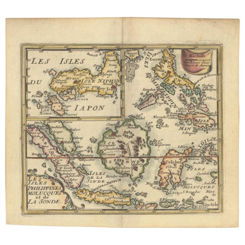
Maps and Sea Charts
1692 Jacq. Peeters Map: East Indies, Indonesia, Japan, Philippines and Singapore
1692 · 16.51 × 13.97 cm$740
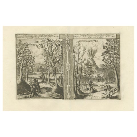
Towns and Landscapes
Exotic Bounty: The Spice Lands of the East Indies by R. de Hooghe, circa 1708
1708 · 49 × 38 cm$740
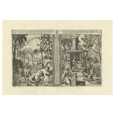
Towns and Landscapes
Global Harvests and Crafts: From the East Indies to Chinese Lacquerwork, c. 1708
1708 · 49 × 38 cm$740
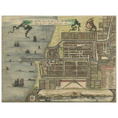
Maps and Sea Charts · Java
Rare 17th Century Map of Batavia and Castle on Java by Isaac de l'Obel
circa 1681 · 36 × 27.1 cm$740
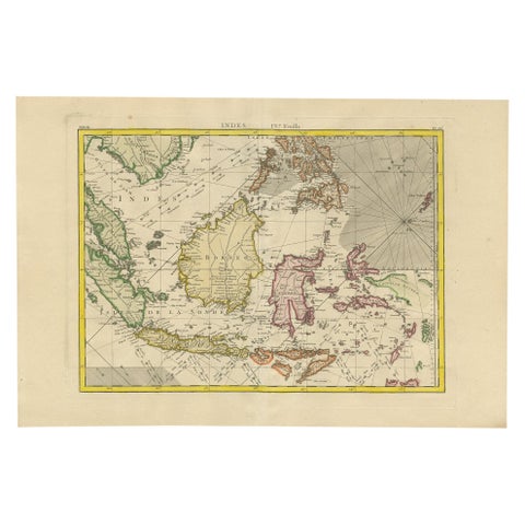
Maps and Sea Charts
Antique Map of the East Indies by Bonne '1776'
1776 · 37 × 54 cm$730
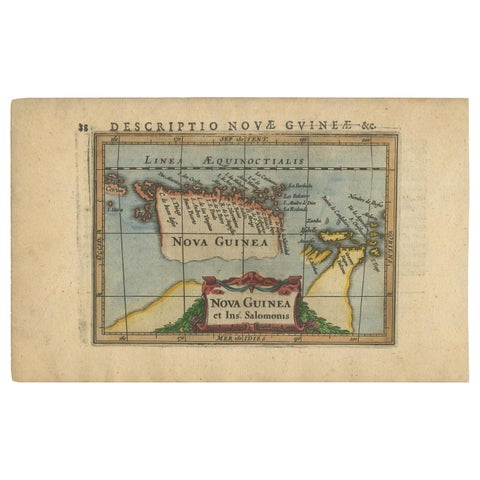
Maps and Sea Charts · New Guinea
Antique Miniature Map of New Guinea by Bertius, '1618'
1618 · 20 × 12.5 cm$730
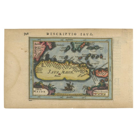
Maps and Sea Charts · Java
Antique Miniature Map of Java by Bertius '1618'
1618 · 20 × 12.5 cm$730
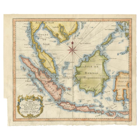
Maps and Sea Charts · Java
Java, Sumatra & Borneo Map, Bellin & van Schley Decorative Chart, 1750s
Date not stated · 32 × 26.5 cm$730
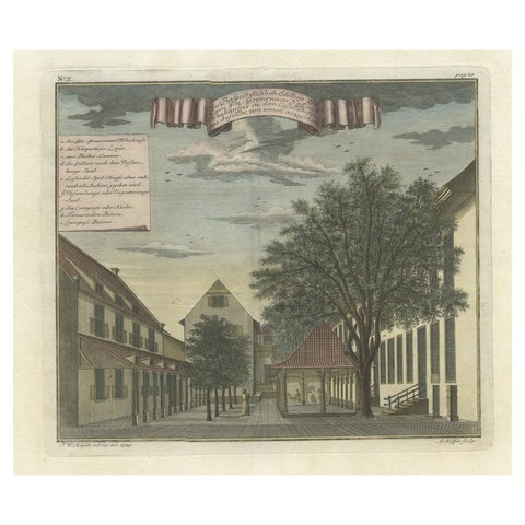
Towns and Landscapes · Java
Rare Print of the Governor-General's Residence in Batavia 'Jakarta', Indonesia
Date not stated · 37 × 32 cm$730
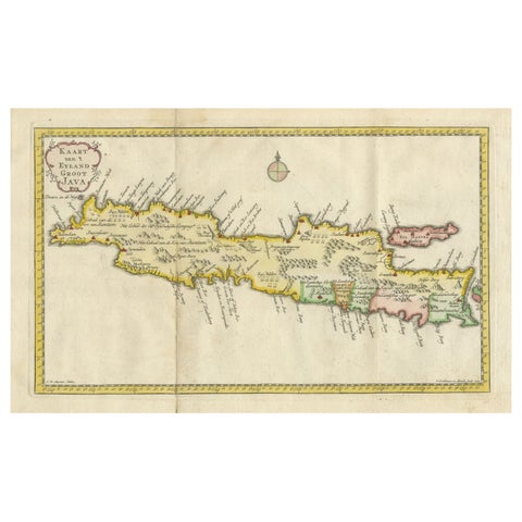
Maps and Sea Charts · Java
Scarce Antique Map of the Island of Java, Indonesia
1780 · 44.8 × 24.2 cm$730
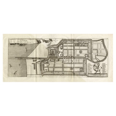
Maps and Sea Charts · Java
Antique Map of Batavia 'Jakarta, Indonesia', the Dutch East-Indies, 1782
1782 · 54 × 27.5 cm$715
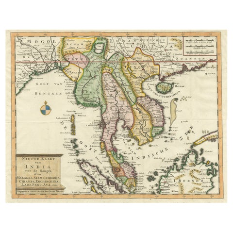
Maps and Sea Charts · Sumatra
Antique Map of Indochina, the Malaysian Peninsula and Northern Sumatra
Date not stated · 45 × 31.2 cm$715
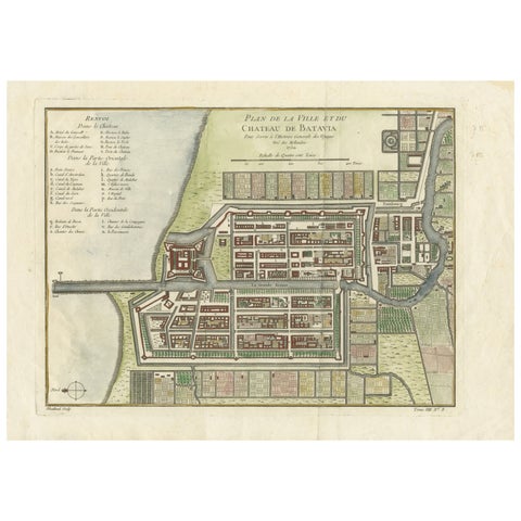
Maps and Sea Charts · Java
Hand-Colored 1750 Plan of Batavia, Colonial Jakarta, Indonesia by Jacques Bellin
1750 · 37.5 × 26.7 cm$715
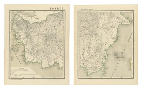
Maps and Sea Charts · Borneo
Antique Map Set of Western & Southern Borneo, Dutch East Indies Era, 1884
1884 · 39 × 48.5 cm$715
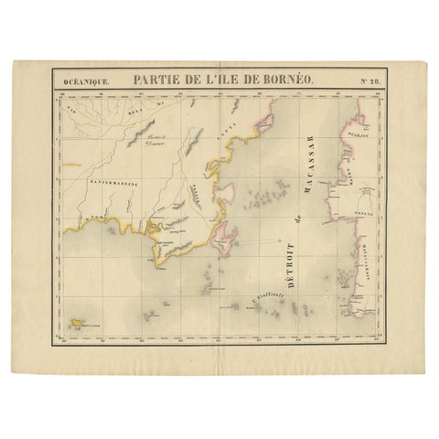
Maps and Sea Charts · Borneo
Antique Map of Part of Borneo 'Kalimantan' Indonesia, by Vandermaelen, C.1825
1825 · 70 × 53 cm$695
Maps and Sea Charts · Borneo
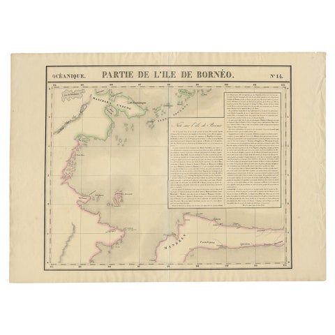
Antique Map of Part of Borneo 'Kalimantan' Indonesia by Vandermaelen, C.1825
1825 · 72 × 53 cm$695
Maps and Sea Charts · Sumatra
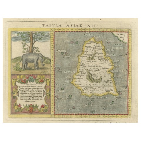
1621 Ptolemy & Magini Map of Taprobana (Sumatra) with Elephant Inset
1621 · 19 × 28 cm$695
Maps and Sea Charts · Java
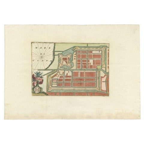
Antique Plan of Batavia in the Dutch East Indies or Nowadays Jakarta, Indonesia
circa 1720 · 49.5 × 34.5 cm$675