Every map and print
301 sheets
Maps and Sea Charts
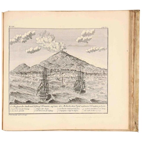
VOC Atlas of Africa and East Indies by J.W. Heydt, Homann Heirs, 1744
1744 · 36.5 × 32.5 cm$15,000
Maps and Sea Charts · Moluccas
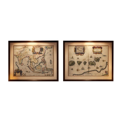
Antique Blaeu Maps, Indonesia & Moluccas, VOC Era, c.1642
1642 · 59 × 50 cm$10,970
Maps and Sea Charts
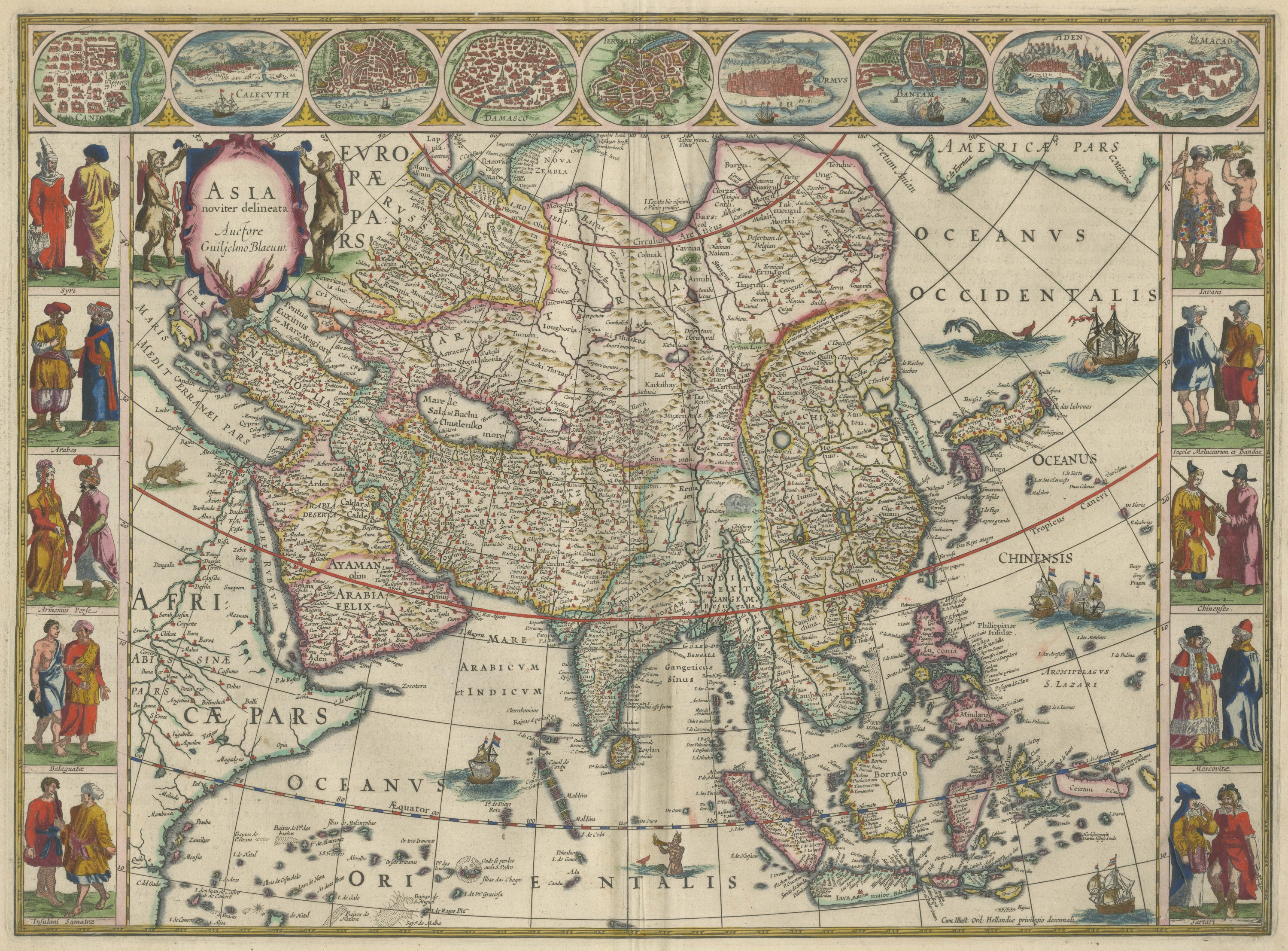
Antique Blaeu Map of Asia, Arabia Felix and the East Indies, 1642
1642$8,395
Maps and Sea Charts
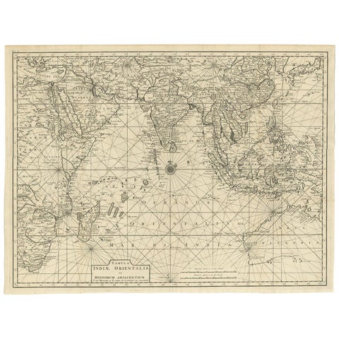
Antique Map of South East Asia, Australia and the Indian Ocean, 1726
1726 · 69 × 52.5 cm$8,060
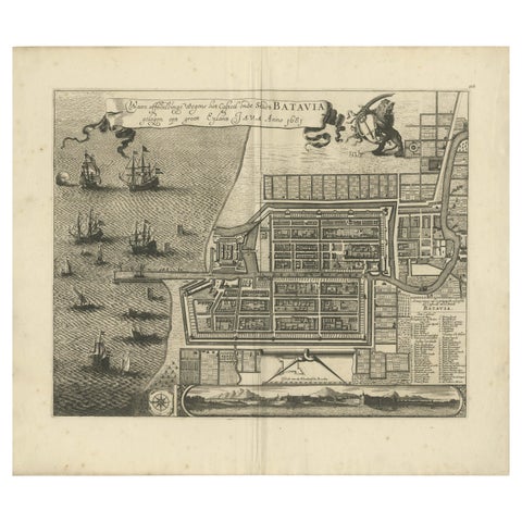
Maps and Sea Charts · Java
Rare 1681 Map of Batavia: Detailed Dutch Colonial Era Cartography, 1681
1681 · 62 × 53.5 cm$6,605
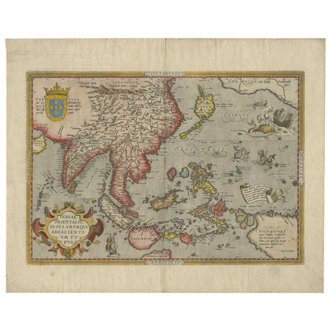
Maps and Sea Charts
Antique Ortelius Map of Asia Featuring Japan, China, Taiwan & East Indies, 1587
1587 · 49 × 35 cm$5,540
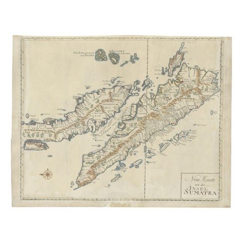
Maps and Sea Charts · Sumatra
Antique Map of Sumatra, Indonesia 'c.1780'
1780 · 63 × 49.5 cm$3,920
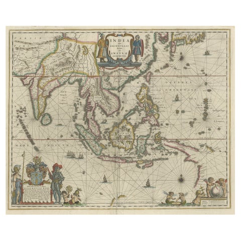
Maps and Sea Charts · New Guinea
Original Blaeu Map of Southeast Asia from India to Tibet and Japan to New Guinea
1635 · 60 × 49.5 cm$3,920
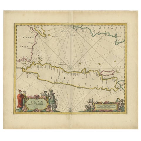
Maps and Sea Charts · Java
Antique Map of the Island Java, Indonesia, c.1650
1650 · 54 × 61.5 cm$3,640
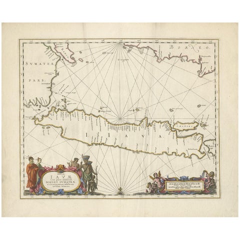
Maps and Sea Charts · Java
Antique Map of Java by Janssonius, circa 1650
1650 · 62 × 51.5 cm$3,300
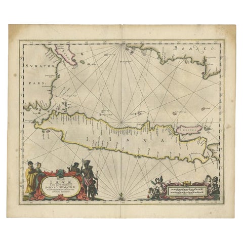
Maps and Sea Charts · Java
Antique Map of Java and Part of Borneo, Indonesia, c.1657
1657 · 49.5 × 58 cm$3,080
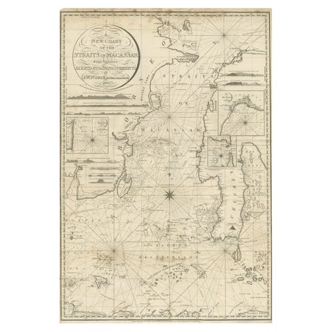
Maps and Sea Charts · Celebes
Antique Map of Straits of Makassar by J.W. Norie, Engraved Chart, 1820
1820 · 66 × 96 cm$3,080
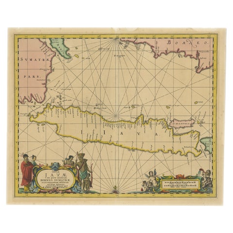
Maps and Sea Charts · Java
Antique Map of Java in The Dutch East Indies, Now Indonesia, c.1690
1690 · 46 × 55 cm$3,080
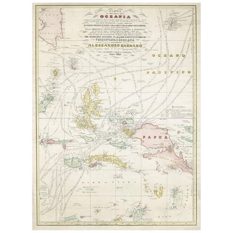
Maps and Sea Charts · Moluccas
Large Italian Map of Islands of Oceania, incl Papua, Timor, Banda, Ceram, 1855
1855 · 54 × 74 cm$2,965
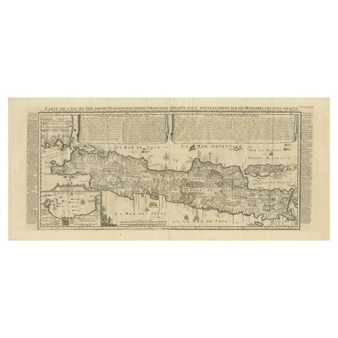
Maps and Sea Charts · Java
Antique Map of Java by Henri Chatelain, Decorative Print, 1718, France
1718 · 44 × 98 cm$2,965
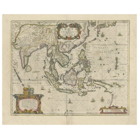
Maps and Sea Charts
Old Antique Map of the East Indies and Southeast Asia, ca.1644
1644 · 60 × 50 cm$2,965
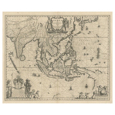
Maps and Sea Charts · New Guinea
Map of Southeast Asia, Extending from India to Tibet & Japan to New Guinea, 1640
1640 · 60 × 50.5 cm$2,965
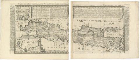
Maps and Sea Charts · Java
Antique Map of Java 'Indonesia' by Chatelain, 1719
1719 · 103.5 × 89 cm$2,800
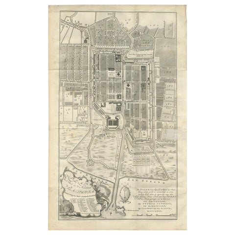
Maps and Sea Charts · Java
Antique Plan of Batavia by Van Krevelt, circa 1780
1780 · 45 × 69 cm$2,800
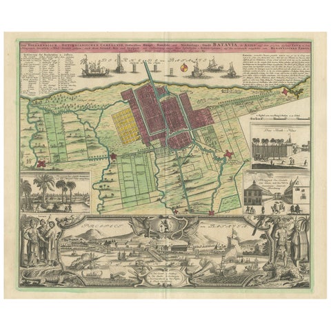
Maps and Sea Charts · Java
Antique Map and Views of Batavia by Homann Heirs, '1733'
1733 · 61 × 51 cm$2,800
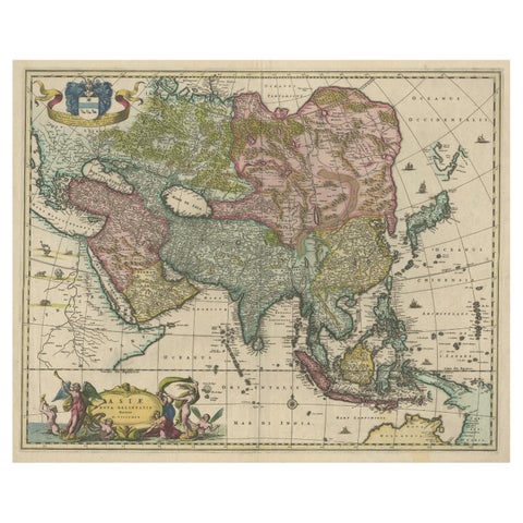
Maps and Sea Charts
Antique Map of Asia and the East Indies and Korea as a Peninsula, ca.1660
1660 · 61 × 50 cm$2,800
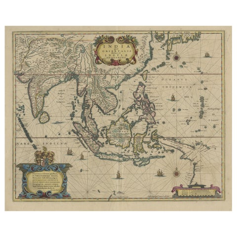
Maps and Sea Charts
Original Antique Hand-Colored Map of The East Indies and Southeast Asia, c.1644
1644 · 59 × 50 cm$2,800
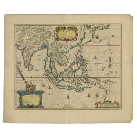
Maps and Sea Charts
Original Antique Map of the East Indies (Indonesia) by Janssonius, c.1644
1644 · 59.5 × 47 cm$2,800
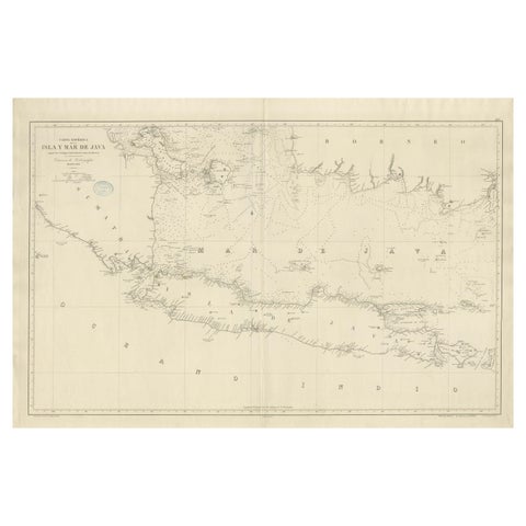
Maps and Sea Charts · Java
Large Chart of the island and sea of Java, Indonesia
1863 · 103 × 69.2 cm$2,800
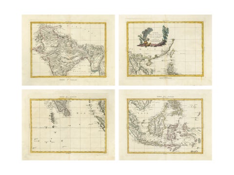
Maps and Sea Charts
Antique Map Set East Indies, India, Indochina, Indonesia, Zatta 1784
1784 · 50 × 38 cm$2,795
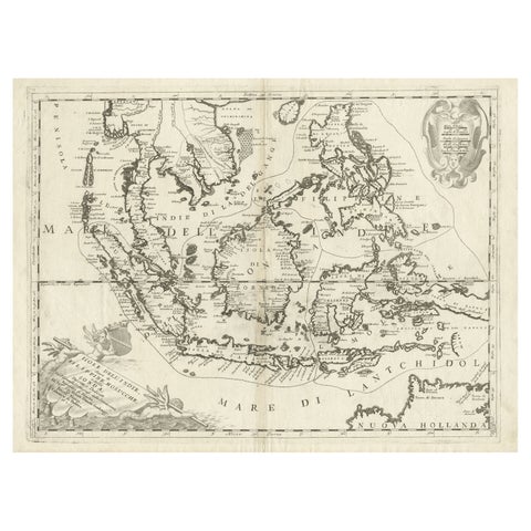
Maps and Sea Charts
Original Antique Map of the Philippines, Malaysia, Indonesia, Singapore, c.1690
1690 · 70 × 49.5 cm$2,520
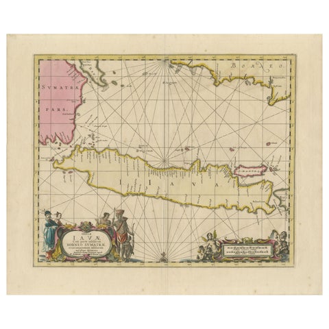
Maps and Sea Charts · Java
Antique Map of Java, Sumatra & Borneo, Dutch East Indies Sea Chart c.1700
1700 · 61.5 × 51.2 cm$2,520
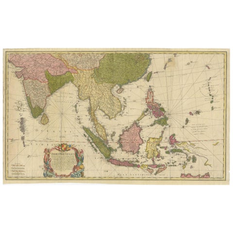
Maps and Sea Charts
Rare 18th-Century Hand-Colored Map of Southeast Asia and the East Indies, 1748
1748 · 88 × 53 cm$2,505
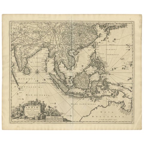
Maps and Sea Charts
Antique Map of Southeast Asia 'India, Indonesia' by N. Visscher, circa 1670
1670 · 63.6 × 52.7 cm$2,185
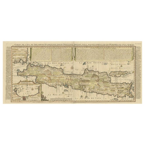
Maps and Sea Charts · Java
Antique French Map of Java, Indonesia by Chatelain, '1719'
1719 · 93.5 × 44.5 cm$2,140
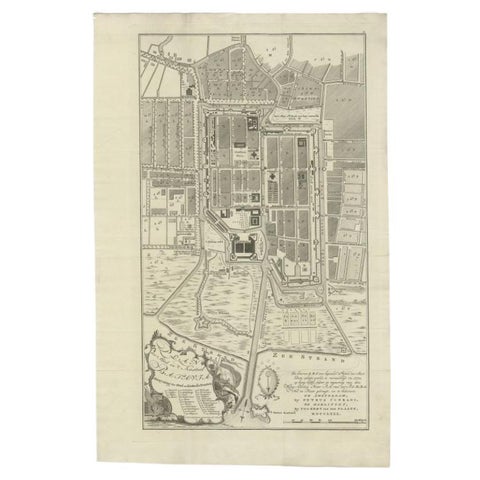
Maps and Sea Charts · Java
Antique Plan of Batavia, Nowadays Jakarta, Indonesia, 1780
1780 · 47 × 73 cm$2,070
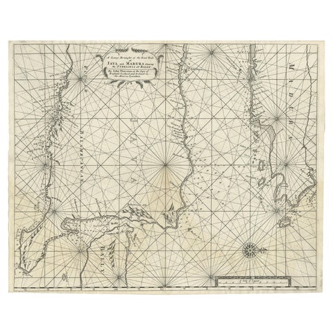
Maps and Sea Charts · Java
Rare Old English Sea Chart of Part of Indonesia with Java, Madura and Bali, 1711
1711 · 55.3 × 45 cm$1,845
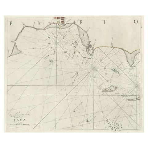
Maps and Sea Charts · Java
Two Antique Sea Charts of the Thousand Islands between Batavia and Bantam, c1734
1734 · 126 × 51 cm$1,845
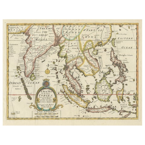
Maps and Sea Charts · Lesser Sunda
Old Map Covering All of Southeast Asia from Persia to the Timor Island, 1712
1712 · 57 × 44 cm$1,680
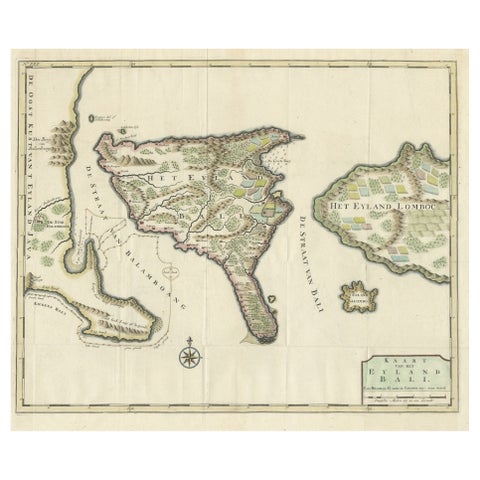
Maps and Sea Charts · Lesser Sunda
1726 Valentyn's Map of Bali and Lombok, Original Engraving
1726 · 62 × 55 cm$1,680
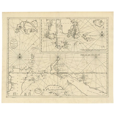
Maps and Sea Charts · Moluccas
Large Antique Detailed Map of a Part of the Spice Islands, Indonesia, 1726
1726 · 64 × 52 cm$1,625
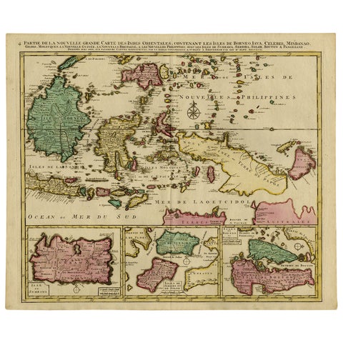
Maps and Sea Charts · Borneo
Old Map of Indonesian Islands Borneo, Celebes, New Guinea & New Britain, 1792
1792 · 66 × 55.3 cm$1,625
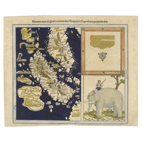
Maps and Sea Charts · Sumatra
Renaissance Mapping of Sumatra: Featuring Singapore in Münster’s Woodcut, c.1590
1590 · 41.5 × 34 cm$1,625
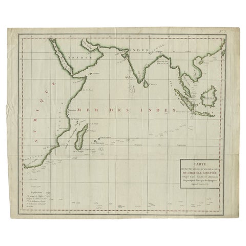
Maps and Sea Charts · Java
Old Map of Indian Ocean & Sumatra, Java, Borneo, India, Arabia, Africa, c.1783
1783 · 64.5 × 53 cm$1,565
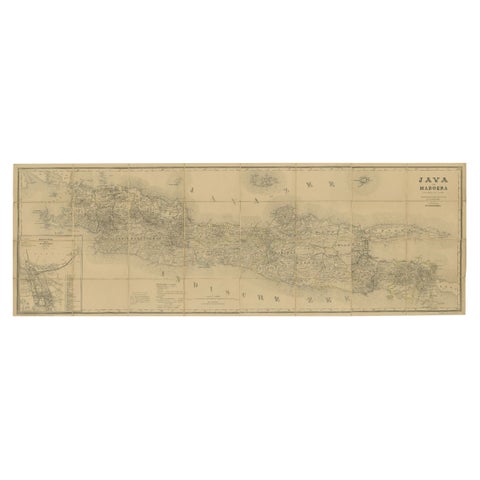
Maps and Sea Charts · Java
Large Antique Map of Java & Madura with Batavia Inset, c.1870s Dutch East Indies
Date not stated · 124 × 42 cm$1,565
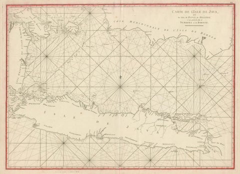
Maps and Sea Charts · Java
Antique Sea Chart Java Indonesia, Mannevillette Neptune Oriental 1775
1775 · 74 × 53.8 cm$1,565
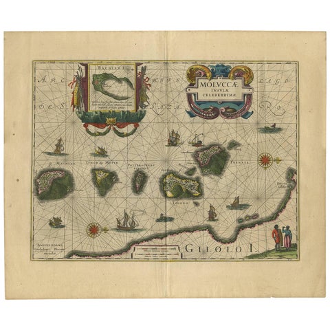
Maps and Sea Charts · Moluccas
Antique Map of the Spice Islands 'Moluccas', Indonesia by W. Blaeu, circa 1640
1640 · 58.5 × 50 cm$1,565
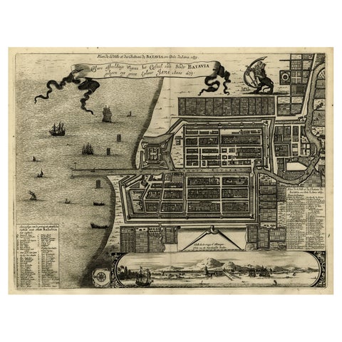
Maps and Sea Charts · Java
Antique Map of Batavia, Dutch East Indies, Nowadays Jakarta, Indonesia, ca.1669
1669 · 37.5 × 32.2 cm$1,510
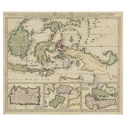
Maps and Sea Charts · Borneo
Old Map of the East Indonesian Islands Borneo, Celebes, New Guinea, Bali, 1792
1792 · 64.5 × 55 cm$1,400
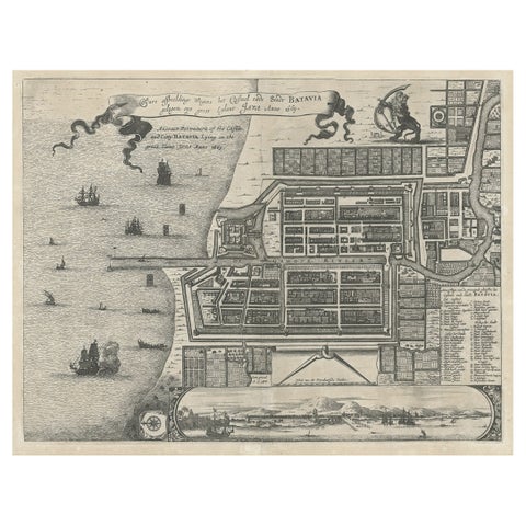
Maps and Sea Charts · Java
Antique Plan of the Castle & City of Batavia 'Jakarta' on Java, Indonesia, c1669
1669 · 44.5 × 39 cm$1,400
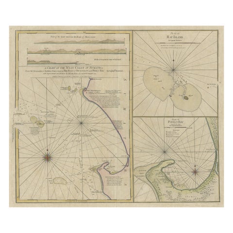
Maps and Sea Charts · Sumatra
Early Chart Identifying British Spice Trading Colony of Bencoolen, Sumatra, 1797
1797 · 71 × 57.5 cm$1,400
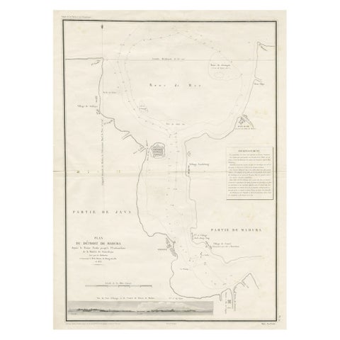
Maps and Sea Charts · Java
Detailed Map of the Madura Strait, between Java & Madura Island, Indonesia, 1825
1825 · 50.5 × 68 cm$1,400
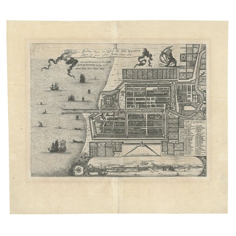
Maps and Sea Charts · Java
Antique Map of Batavia 'Jakarta', Indonesia by Montanus, circa 1669
1669 · 44.5 × 39 cm$1,400