Every map and print
1,015 sheets
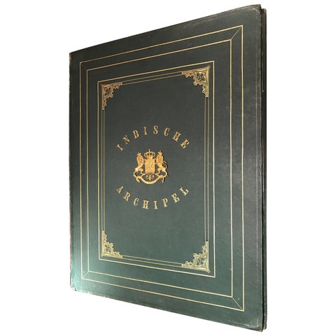
Towns and Landscapes
De Indische Archipel by C.W. Mieling, 1865-1876
1865 · 57 × 73.5 cm£57,355
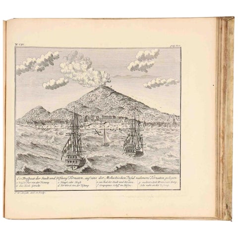
Maps and Sea Charts
VOC Atlas of Africa and East Indies by J.W. Heydt, Homann Heirs, 1744
1744 · 36.5 × 32.5 cm£11,220
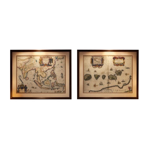
Maps and Sea Charts · Moluccas
Antique Blaeu Maps, Indonesia & Moluccas, VOC Era, c.1642
1642 · 59 × 50 cm£8,205
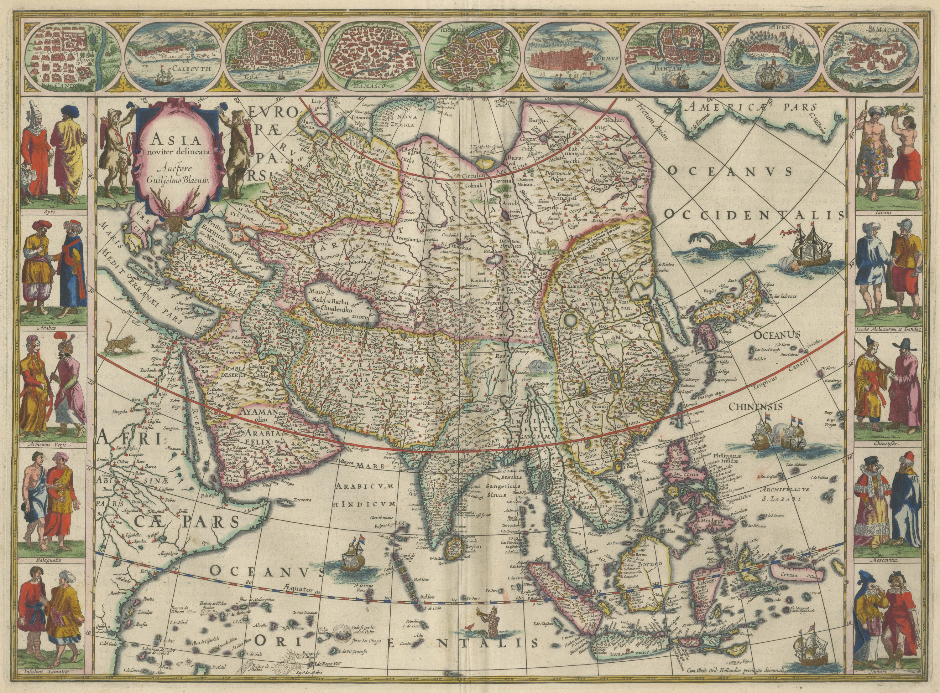
Maps and Sea Charts
Antique Blaeu Map of Asia, Arabia Felix and the East Indies, 1642
1642£6,280
Maps and Sea Charts
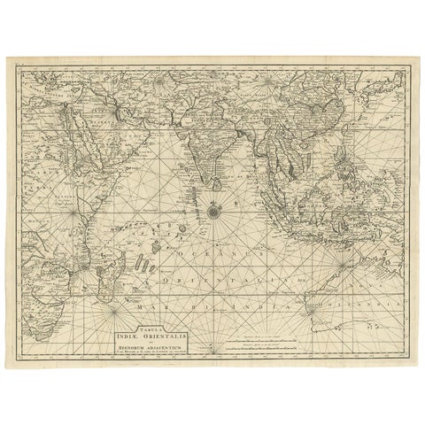
Antique Map of South East Asia, Australia and the Indian Ocean, 1726
1726 · 69 × 52.5 cm£6,030
Maps and Sea Charts · Java
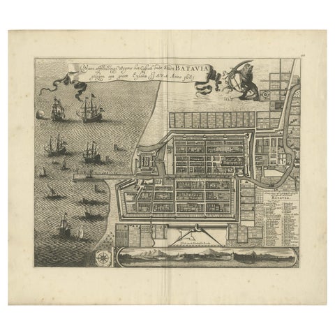
Rare 1681 Map of Batavia: Detailed Dutch Colonial Era Cartography, 1681
1681 · 62 × 53.5 cm£4,940
Towns and Landscapes · Java
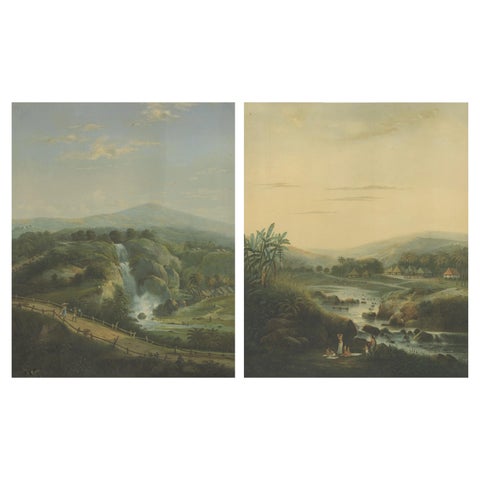
Java Landscapes, Rare Pair of Deluxe Folio Chromolithographs by Salm, 1865-72
1865 · 68.5 × 84.3 cm£4,410
Maps and Sea Charts
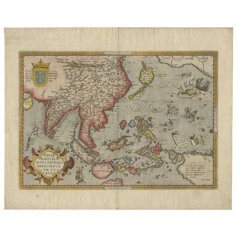
Antique Ortelius Map of Asia Featuring Japan, China, Taiwan & East Indies, 1587
1587 · 49 × 35 cm£4,145
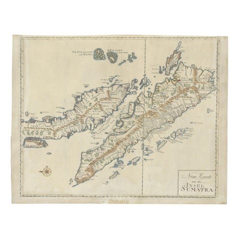
Maps and Sea Charts · Sumatra
Antique Map of Sumatra, Indonesia 'c.1780'
1780 · 63 × 49.5 cm£2,930
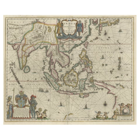
Maps and Sea Charts · New Guinea
Original Blaeu Map of Southeast Asia from India to Tibet and Japan to New Guinea
1635 · 60 × 49.5 cm£2,930
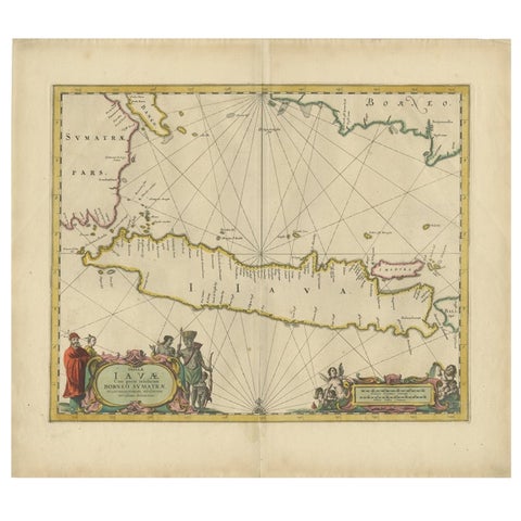
Maps and Sea Charts · Java
Antique Map of the Island Java, Indonesia, c.1650
1650 · 54 × 61.5 cm£2,720
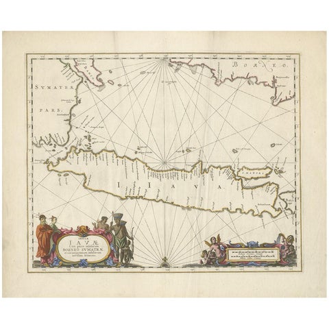
Maps and Sea Charts · Java
Antique Map of Java by Janssonius, circa 1650
1650 · 62 × 51.5 cm£2,470
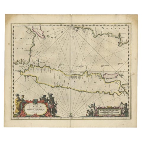
Maps and Sea Charts · Java
Antique Map of Java and Part of Borneo, Indonesia, c.1657
1657 · 49.5 × 58 cm£2,305
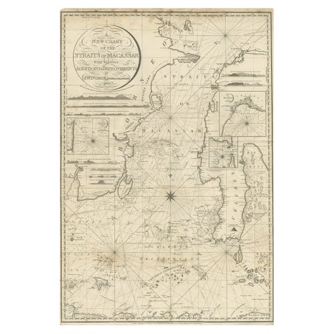
Maps and Sea Charts · Celebes
Antique Map of Straits of Makassar by J.W. Norie, Engraved Chart, 1820
1820 · 66 × 96 cm£2,305
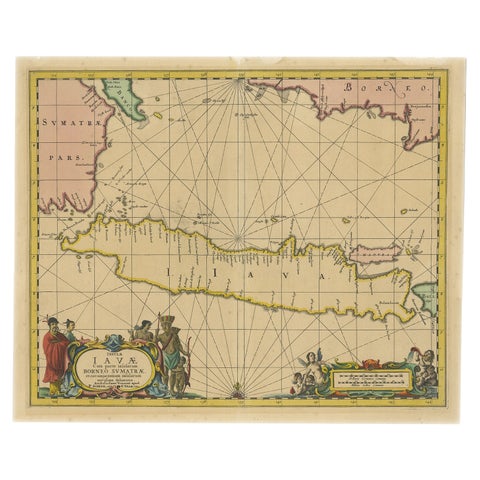
Maps and Sea Charts · Java
Antique Map of Java in The Dutch East Indies, Now Indonesia, c.1690
1690 · 46 × 55 cm£2,305
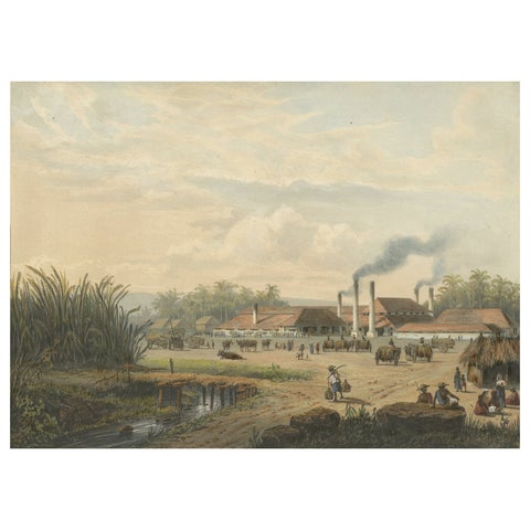
Towns and Landscapes · Java
Original Chromolithograph of a Sugar Factory in Java, Indonesia, 1872
1872 · 36 × 26.4 cm£2,305
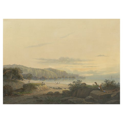
Towns and Landscapes · Java
Original Antique Chromolithograh of Srigonjo Bay, the South Coast of Java, 1872
1872 · 36 × 26.4 cm£2,305
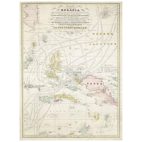
Maps and Sea Charts · Moluccas
Large Italian Map of Islands of Oceania, incl Papua, Timor, Banda, Ceram, 1855
1855 · 54 × 74 cm£2,220
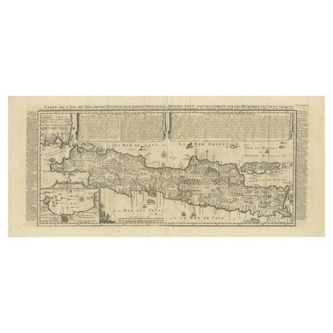
Maps and Sea Charts · Java
Antique Map of Java by Henri Chatelain, Decorative Print, 1718, France
1718 · 44 × 98 cm£2,220
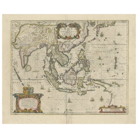
Maps and Sea Charts
Old Antique Map of the East Indies and Southeast Asia, ca.1644
1644 · 60 × 50 cm£2,220
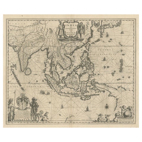
Maps and Sea Charts · New Guinea
Map of Southeast Asia, Extending from India to Tibet & Japan to New Guinea, 1640
1640 · 60 × 50.5 cm£2,220
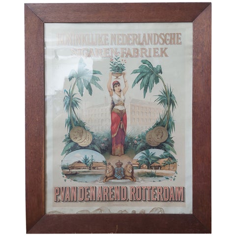
Towns and Landscapes
Antique Cigars Advertising Poster Koninklijke Nederlandsche Sigaren-Fabriek
circa 1900 · 60 × 75 cm£2,175
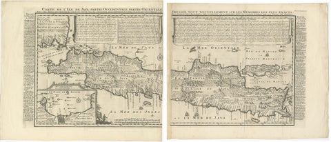
Maps and Sea Charts · Java
Antique Map of Java 'Indonesia' by Chatelain, 1719
1719 · 103.5 × 89 cm£2,095
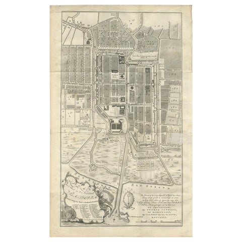
Maps and Sea Charts · Java
Antique Plan of Batavia by Van Krevelt, circa 1780
1780 · 45 × 69 cm£2,095
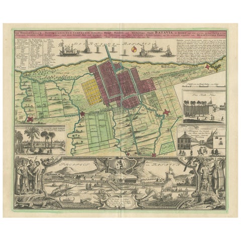
Maps and Sea Charts · Java
Antique Map and Views of Batavia by Homann Heirs, '1733'
1733 · 61 × 51 cm£2,095
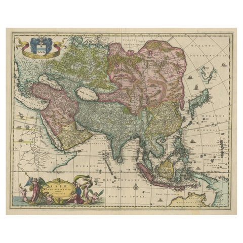
Maps and Sea Charts
Antique Map of Asia and the East Indies and Korea as a Peninsula, ca.1660
1660 · 61 × 50 cm£2,095
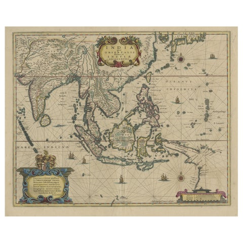
Maps and Sea Charts
Original Antique Hand-Colored Map of The East Indies and Southeast Asia, c.1644
1644 · 59 × 50 cm£2,095
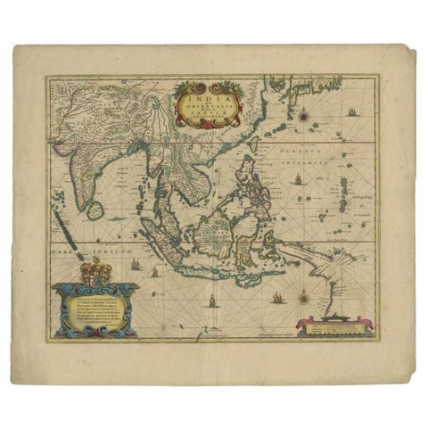
Maps and Sea Charts
Original Antique Map of the East Indies (Indonesia) by Janssonius, c.1644
1644 · 59.5 × 47 cm£2,095
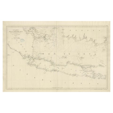
Maps and Sea Charts · Java
Large Chart of the island and sea of Java, Indonesia
1863 · 103 × 69.2 cm£2,095
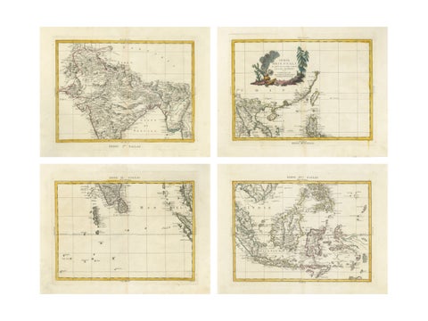
Maps and Sea Charts
Antique Map Set East Indies, India, Indochina, Indonesia, Zatta 1784
1784 · 50 × 38 cm£2,090
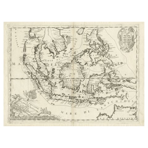
Maps and Sea Charts
Original Antique Map of the Philippines, Malaysia, Indonesia, Singapore, c.1690
1690 · 70 × 49.5 cm£1,885
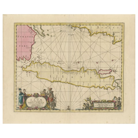
Maps and Sea Charts · Java
Antique Map of Java, Sumatra & Borneo, Dutch East Indies Sea Chart c.1700
1700 · 61.5 × 51.2 cm£1,885
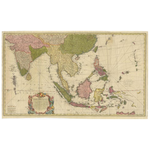
Maps and Sea Charts
Rare 18th-Century Hand-Colored Map of Southeast Asia and the East Indies, 1748
1748 · 88 × 53 cm£1,875
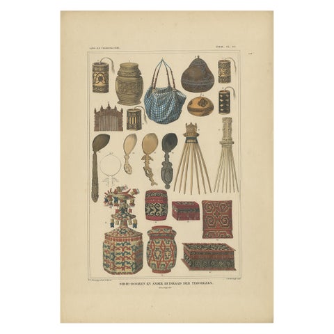
Peoples and Costume · Borneo
Set of 7 Decorative Antique Prints of Borneo, Timor and Papua Culture, ca. 1840
1840 · 31 × 45 cm£1,785
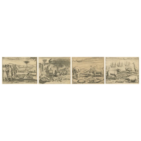
Towns and Landscapes
De Bry’s India and East Indies, Cockfights, Sacred Trees & Exotic Animals, 1598
1598 · 20 × 30.5 cm£1,665
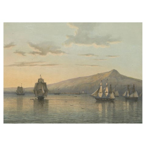
Towns and Landscapes · Java
View of Anjer near the Krakatoa Volcano, Sunda Strait, Java Lithograph, 1872
1872 · 37 × 26 cm£1,635
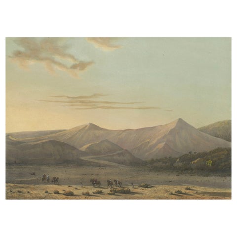
Towns and Landscapes · Java
Mount Bromo Volcano Erupting in 1856, East Java Lithograph, Published 1872
1856 · 37 × 26 cm£1,635
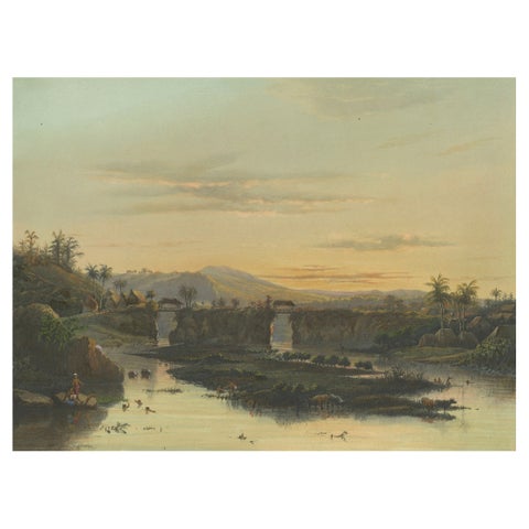
Towns and Landscapes · Java
Brantas River as a Mountain Stream, East Java Landscape Lithograph, 1872
1872 · 37 × 26 cm£1,635
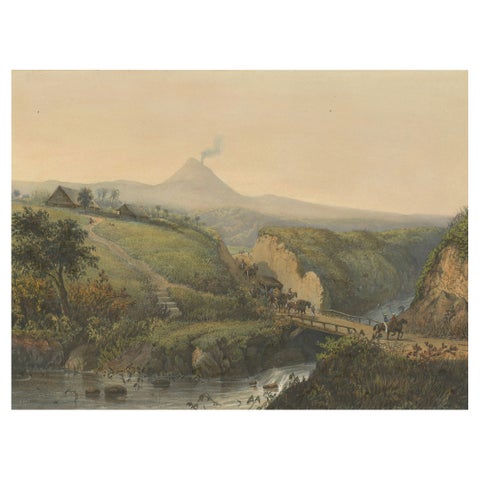
Towns and Landscapes · Java
Landscape near Probolinggo with Smoking Volcano, Java Lithograph, c.1872
1872 · 37 × 26 cm£1,635
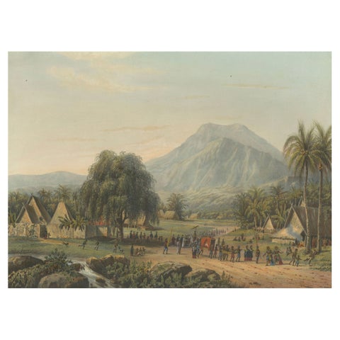
Towns and Landscapes · Java
Wedding Procession in the Salak Valley, Puncak, Java Cultural Lithograph, 1872
1872 · 37 × 26 cm£1,635
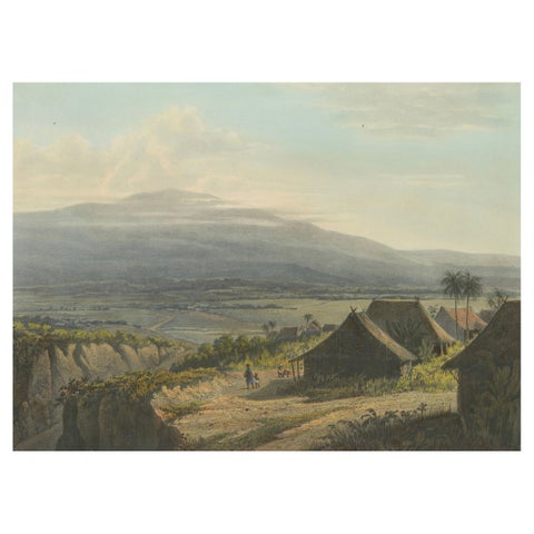
Towns and Landscapes · Java
Highland Landscape in the Bantam Residency, Java Lithograph, Published 1872
1872 · 37 × 26 cm£1,635
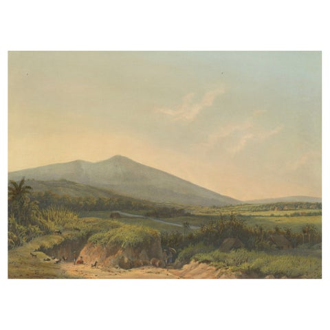
Towns and Landscapes · Java
Mountain Landscape near Kedong Badak, Rare Java Lithograph from 1872
1872 · 37 × 26 cm£1,635
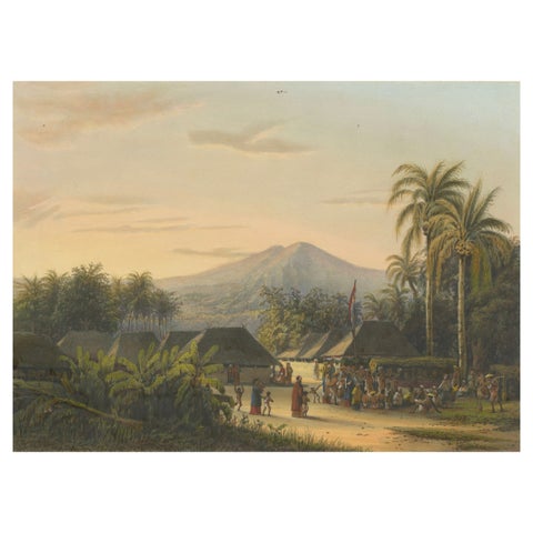
Towns and Landscapes · Java
Vibrant Colonial Era Java Print: Festival near Mount Ardjoeno, ca. 1872
1872 · 37 × 26 cm£1,635
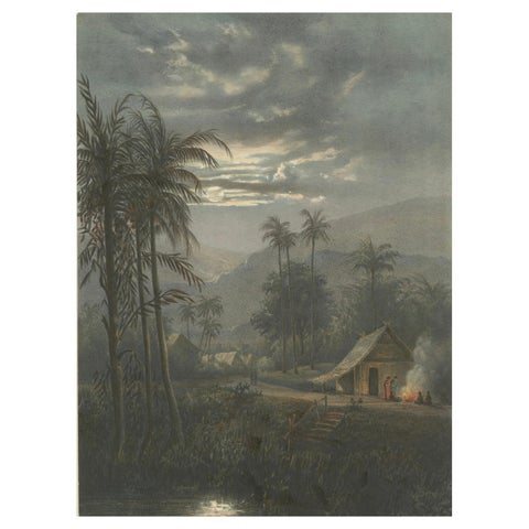
Towns and Landscapes · Java
Moonlit Landscape near Sumedang, West Java, Rare Java Lithograph, 1872
1872 · 26 × 37 cm£1,635
Towns and Landscapes · Java
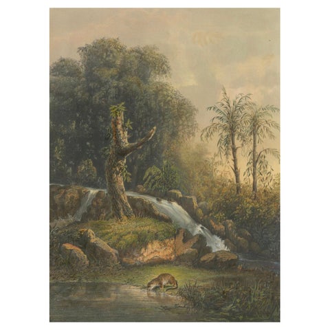
Wild Landscape with Waterfall and Jungle Life, Java Lithograph, Published 1872
1872 · 26 × 37 cm£1,635
Towns and Landscapes · Java
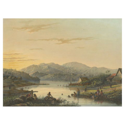
The Bathing Place of Wendit, East Java, Tranquil Java Lithograph, c.1872
1872 · 37 × 26 cm£1,635
Towns and Landscapes · Java
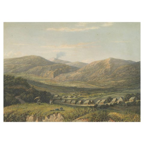
View of the Tengger Mountains, East Java, Rare Java Landscape Lithograph, 1872
1872 · 37 × 26 cm£1,635
Towns and Landscapes · Java
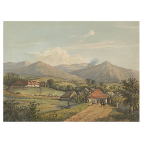
Java’s Kawis Mountains and Tobacco Estate near Malang, Antique Lithograph, 1872
1872 · 37 × 26 cm£1,635