Every map and print
55 sheets
Maps and Sea Charts · Celebes
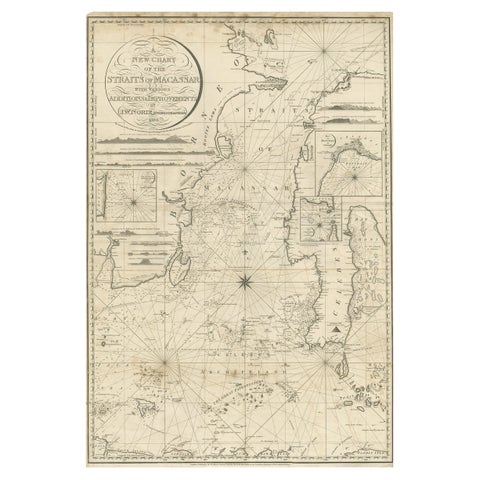
Antique Map of Straits of Makassar by J.W. Norie, Engraved Chart, 1820
1820 · 66 × 96 cm$3,080
Maps and Sea Charts · Borneo
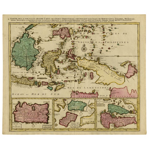
Old Map of Indonesian Islands Borneo, Celebes, New Guinea & New Britain, 1792
1792 · 66 × 55.3 cm$1,625
Maps and Sea Charts · Borneo
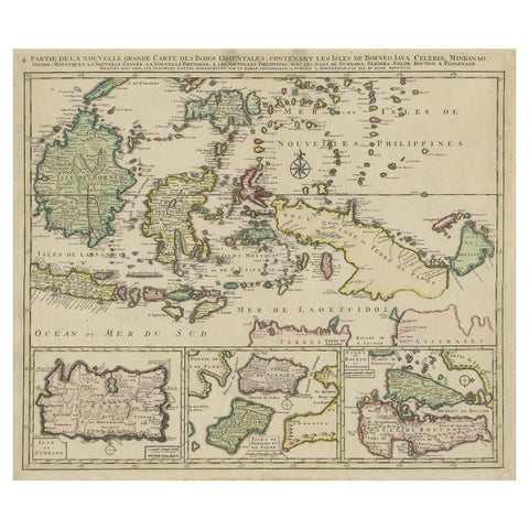
Old Map of the East Indonesian Islands Borneo, Celebes, New Guinea, Bali, 1792
1792 · 64.5 × 55 cm$1,400
Maps and Sea Charts · Java
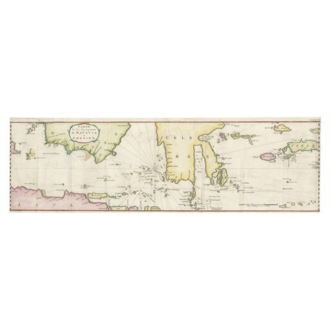
Rare Chart of Indonesia Including Borneo, Java, Celebes, Ceram and More, 1779
1779 · 74.5 × 23 cm$995

Maps and Sea Charts · Java
Rare Small Map of Sumatra, Java, Borneo, Macassar, Madura, Bali, 1614
1614 · 24 × 18 cm$840
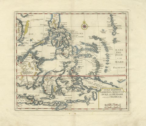
Maps and Sea Charts · Celebes
Antique Map Philippines, Moluccas, Celebes, Spice Islands, Tirion, c.1738
1738 · 48.7 × 37.6 cm$770
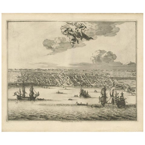
Towns and Landscapes · Celebes
Antique Print of Makassar 'South Sulawesi, Indonesia' by P. van der Aa
circa 1725 · 39.7 × 32.7 cm$745
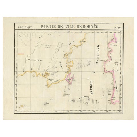
Maps and Sea Charts · Borneo
Detailed Antique Map of a Portion of Borneo and Sulawesi in Indonesia, c.1825
1825 · 69 × 53.5 cm$605
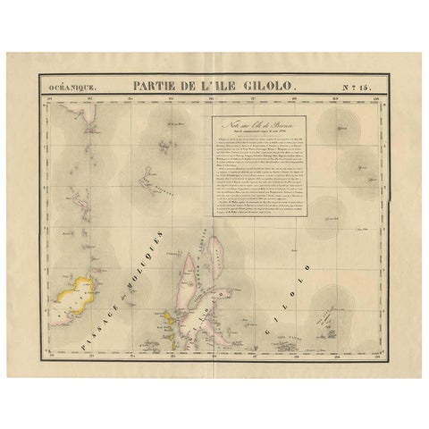
Maps and Sea Charts · Celebes
Antique Map of Southern Mindanao, Sulawesi and Gilolo Halmahera, Indonesia, 1827
1827 · 68 × 53 cm$585
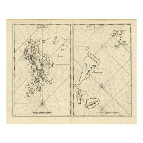
Maps and Sea Charts · Celebes
Antique Map of Sangir Island and the Talaud Islands by Valentijn, 1726
1726 · 64 × 52 cm$580
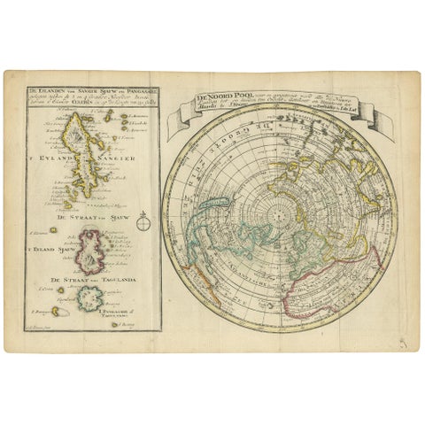
Maps and Sea Charts · Celebes
Antique Map of the North Pole & Sangihe Archipelago by Keizer & de Lat, 1788
1788 · 30 × 20.5 cm$560
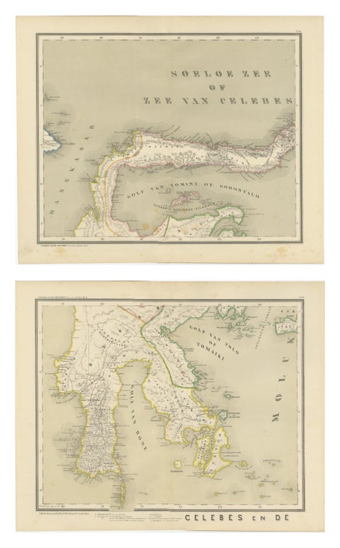
Maps and Sea Charts · Celebes
Antique Two-Sheet Map of Celebes Sulawesi, Dornseiffen, Dutch East Indies, 1884
1884 · 48.5 × 39 cm$490
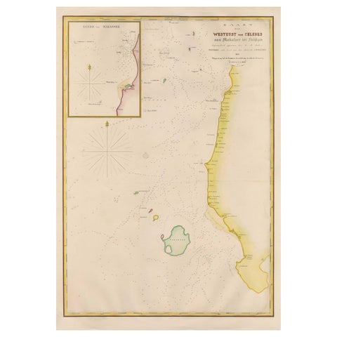
Maps and Sea Charts · Celebes
Large Antique Map of the west coast of Celebes, Sulawesi, Indonesia
1848 · 54.3 × 77.4 cm$480
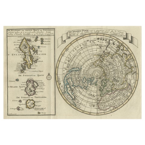
Maps and Sea Charts · Celebes
Nice Sheet of the Sangihe Archipelago in Indonesia & California Island, 1788
1788 · 30.5 × 20.5 cm$470
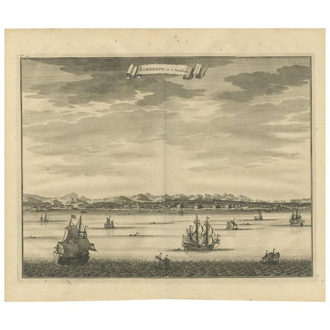
Towns and Landscapes · Celebes
Antique Print of Samboepo by Valentijn, 1726
1726 · 40 × 34 cm$450
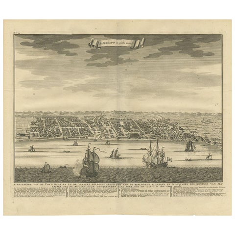
Maps and Sea Charts · Celebes
Antique Map of Samboepo by Valentijn, 1726
1726 · 40 × 34 cm$450
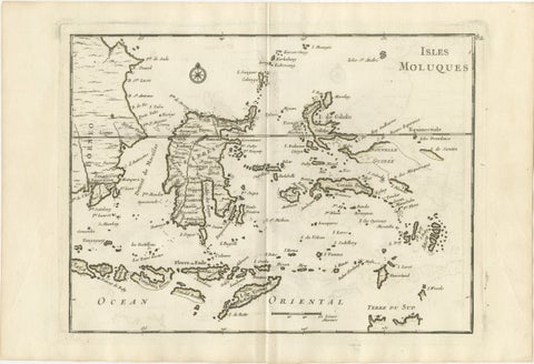
Maps and Sea Charts · Celebes
Antique Map of the Moluccas & Celebes, Le Rouge, French Engraving c.1750
1750 · 35.7 × 24.4 cm$440
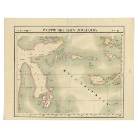
Maps and Sea Charts · Celebes
Old Map of the Moluccas and Part of Sulawesi Indonesia by Vandermaelen, c 1825
1825 · 67 × 53 cm$380
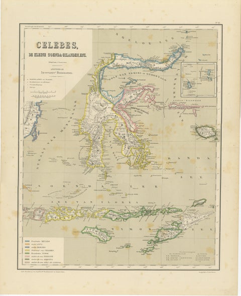
Maps and Sea Charts · Celebes
Antique Colonial Map of Celebes Sulawesi & Lesser Sunda Islands, 1884
1884 · 39 × 48.5 cm$325
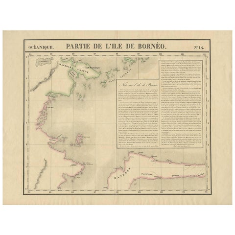
Maps and Sea Charts · Borneo
Antique Map of North East Borneo and North Sulawesi by P.M.G. Vandermaelen
Date not stated · 69.6 × 53.3 cm$315
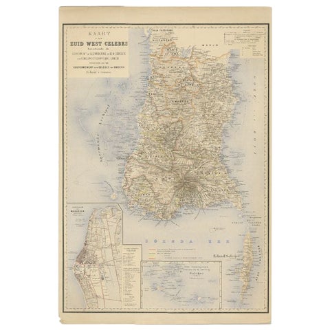
Maps and Sea Charts · Celebes
Antique Map of Southern Sulawesi by Stemfoort, 1885
1885 · 48 × 63 cm$295
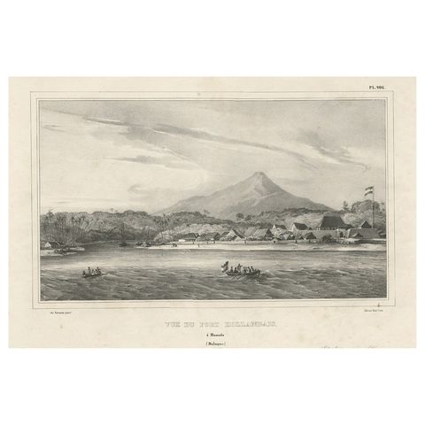
The Company · Celebes
Antique Print of a Dutch Fortress in Manado Bay, Sulawesi, Indonesia, 1833
1833 · 52 × 33 cm$285
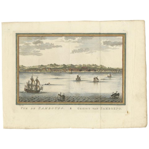
Towns and Landscapes · Celebes
Antique Print of Samboupo ‘Sulawesi, Indonesia’ by J. van Schley, 1750
1750 · 36 × 27 cm$280
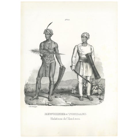
Peoples and Costume · Celebes
Antique Print of Inhabitants of Tondano 'Indonesia' by Honegger '1845'
1845 · 26 × 35 cm$280
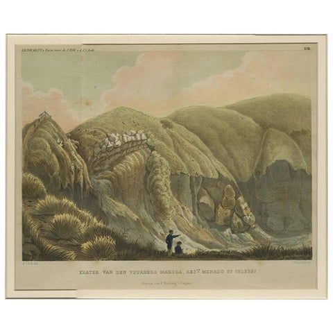
Towns and Landscapes · Celebes
Antique Print with a View of Menado on Celebes 'Indonesia' by C.G.C. Reinwardt
Date not stated · 44.5 × 37 cm$275
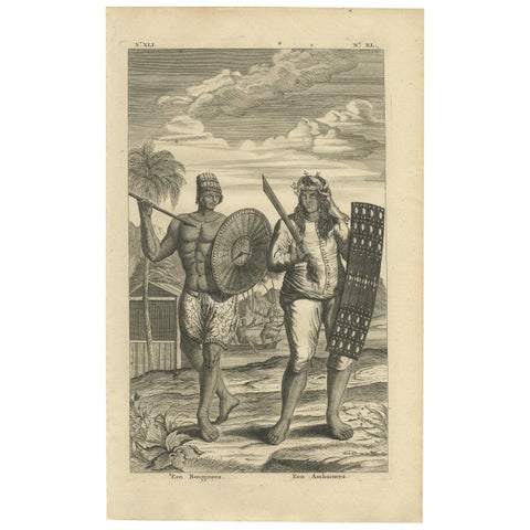
Peoples and Costume · Celebes
Antique Print of a Buginese and Ambonese Man by Valentijn, 1726
1726 · 21 × 34 cm$245
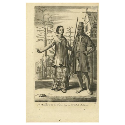
Peoples and Costume · Java
A Makasser Man with his Wife as they are Habited at Batavia, Indonesia, c1744
1744 · 21.34 × 34.55 cm$245
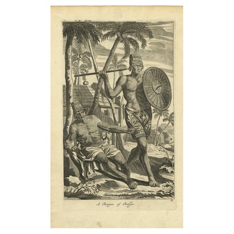
Peoples and Costume · Java
Engraving of Buginese people near Batavia, East Indies, Indonesia, 1744
1744 · 21.09 × 34.55 cm$245
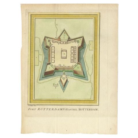
The Company · Celebes
Antique Print of Fort Rotterdam in Makassar 'Ujung Pdang', Sulawesi, Indonesia
circa 1760 · 19 × 26 cm$245
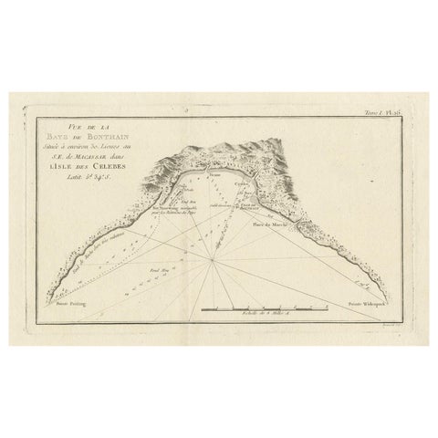
Maps and Sea Charts · Celebes
Antique Map of Bonthain Bay, Sulawesi, Celebes
circa 1774 · 38 × 27.3 cm$245
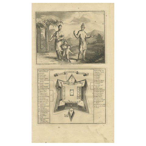
The Company · Celebes
A Macassar Couple and the Fort Rotterdam in Macassar, Celebes (Indonesia)
Date not stated · 20 × 34 cm$245
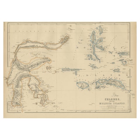
Maps and Sea Charts · Celebes
Antique Map of Celebes and the Maluku Islands by W. G. Blackie, 1859
1859 · 37 × 27 cm$225
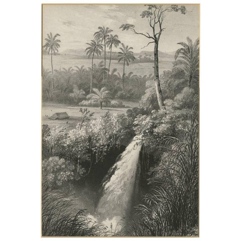
Towns and Landscapes · Celebes
Antique Print of a waterfall near Tondano (Indonesia) by C.W.M. van de Velde
Date not stated · 32 × 42 cm$215
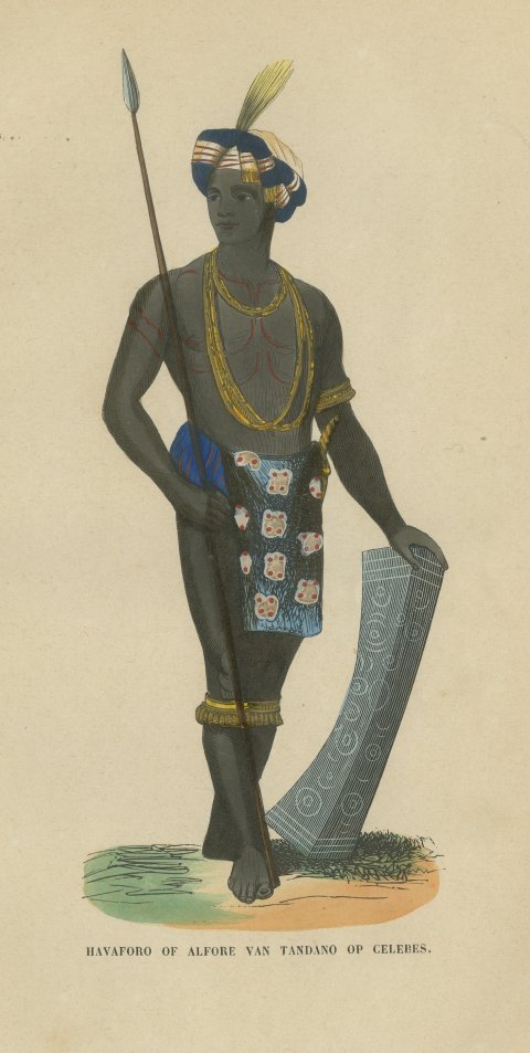
Peoples and Costume · Celebes
Alfur Man of Tondano, Celebes, Antique Hand-Colored Ethnographic Print, 1854
1854$205
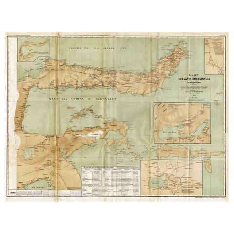
Maps and Sea Charts · Celebes
Antique Map of the Gulf of Tomini by Winkler Prins, 1878
1878 · 92 × 75 cm$205
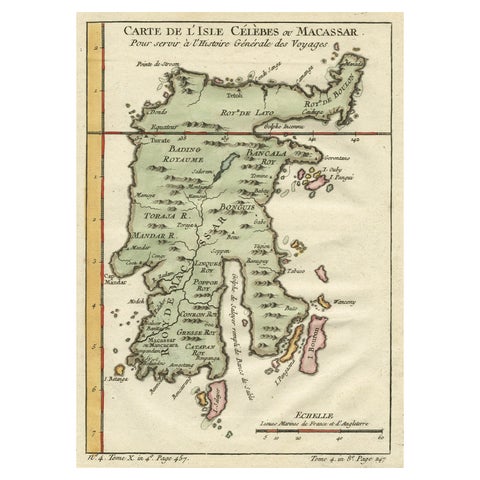
Maps and Sea Charts · Celebes
Antique Map of Celebes 'Sulawesi', Island in Indonesia, c.1750
1750 · 19 × 24.5 cm$200
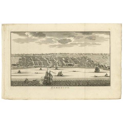
Towns and Landscapes · Celebes
Antique Print of Samboupo ‘Sulawesi, Indonesia’, 1750
1750 · 42.5 × 27 cm$190
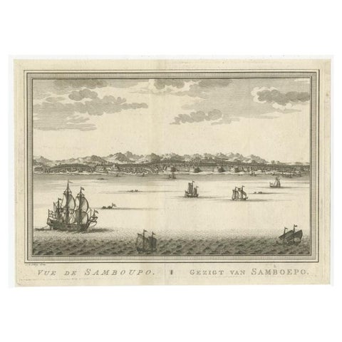
Towns and Landscapes · Celebes
Antique Print of Samboupo, Celebes or Sulawesi in Indonesia, circa 1750
1750 · 29.5 × 21.5 cm$180
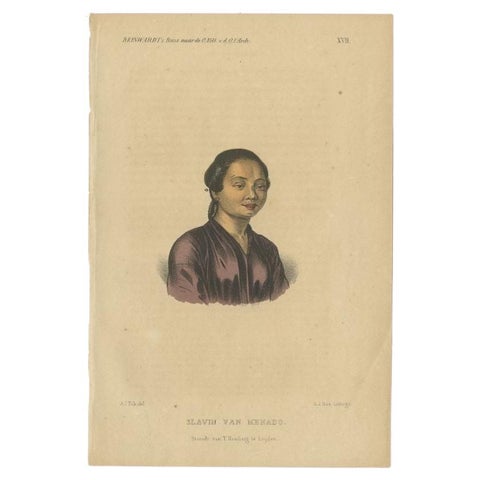
Peoples and Costume · Celebes
Antique Print of a Slave of Manado, Celebes (Sulawesi, Indonesia), 1858
1858 · 15.5 × 23 cm$180
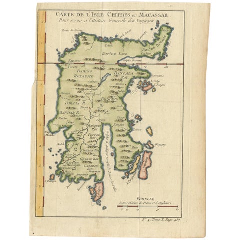
Maps and Sea Charts · Celebes
Antique Map of Celebes 'Sulawesi, Indonesia' by Bellin, ciarca 1755
1755 · 17.7 × 23.5 cm$170
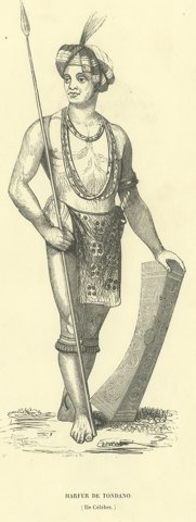
Peoples and Costume · Celebes
Harfur of Tondano, Antique Wahlen Costume Print, 1843-1844
1843-1844$160
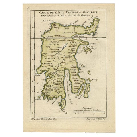
Maps and Sea Charts · Celebes
Antique Map of Celebes 'Sulawesi', Island in Indonesia, 1754
1754 · 17.8 × 24.8 cm$160
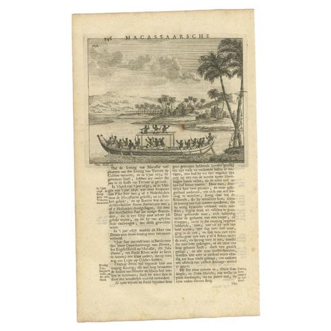
The Company · Celebes
Antique Print of a Boat Near Macassar 'Nowadays Ujung Padang', Indonesia, 1726
1726 · 20 × 34 cm$155
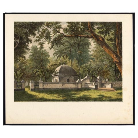
Peoples and Costume · Celebes
Antique Print of a Cemetery in Bontowala, Makassar, Celebes, Indonesia, 1888
1888 · 27.7 × 23.6 cm$155
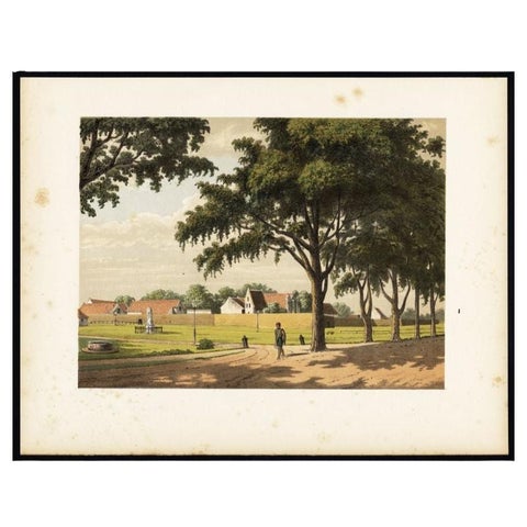
Towns and Landscapes · Celebes
Old Print of Makassar in Celebes, Dutch East Indies or nowadays Indonesia, 1888
1888 · 31 × 24 cm$145
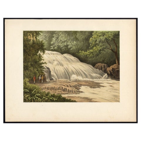
Towns and Landscapes · Celebes
Antique Print of the Bantimurung Waterfall in Indonesia
circa 1888 · 31.9 × 24.8 cm$145
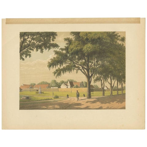
Towns and Landscapes · Celebes
Antique Print of Makassar by M.T.H. Perelaer, 1888
1888 · 31.5 × 24.2 cm$135
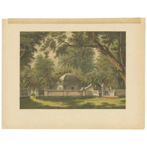
Peoples and Costume · Celebes
Antique Print of a Cemetery in Bontowala by M.T.H. Perelaer, 1888
1888 · 31.5 × 24.2 cm$135