Collection
Maps and Sea Charts
Maps and charts of the archipelago from Münster's woodcut of Sumatra of about 1590 to the Dornseiffen atlas of 1884: Blaeu and Janssonius, Valentijn's island maps of 1726, Bellin and Mannevillette for the French navy, and the town plans of Batavia.
301 sheets
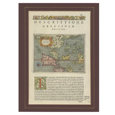
Maps and Sea Charts · Moluccas
Antique Map of the Moluccas by Porcacchi, circa 1620
1620 · 27 × 37 cm$805
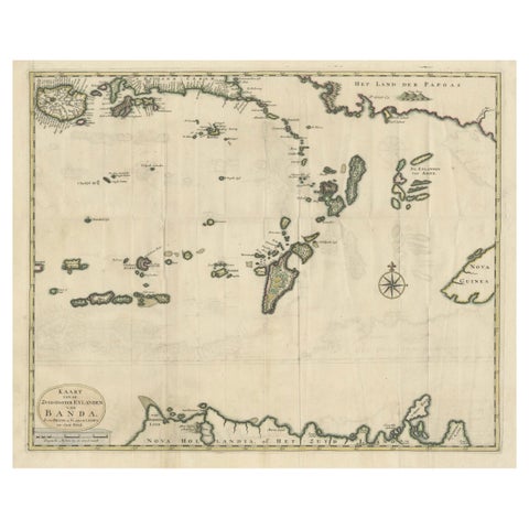
Maps and Sea Charts · Moluccas
Old Antique Map of the Banda Islands (Southeast), Indonesia & Northern Australia
Date not stated · 61 × 51.5 cm$780
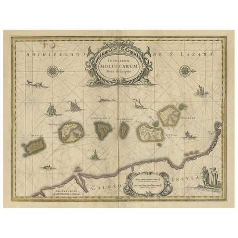
Maps and Sea Charts · Moluccas
Old Map of the Moluccas, Known as the Famous Spice Islands, Indonesia, ca.1730
1730 · 58.4 × 44 cm$770
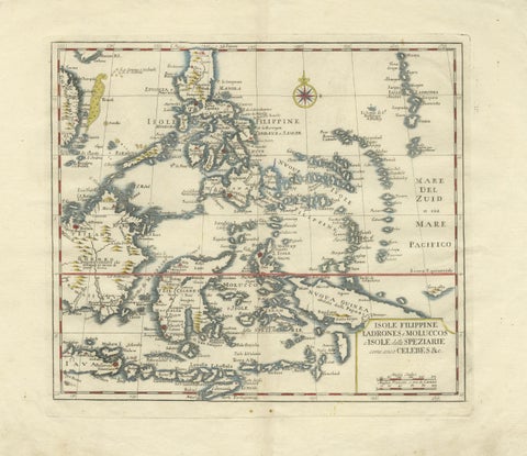
Maps and Sea Charts · Celebes
Antique Map Philippines, Moluccas, Celebes, Spice Islands, Tirion, c.1738
1738 · 48.7 × 37.6 cm$770
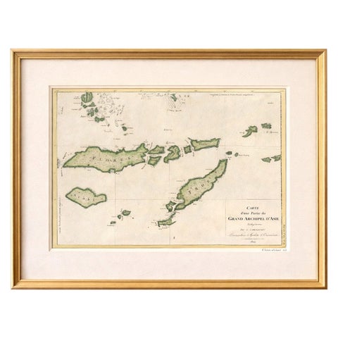
Maps and Sea Charts · Lesser Sunda
Antique Map of Flores, Timor and the Sunda Islands, French, c.1790
1790 · 56 × 32 cm$770
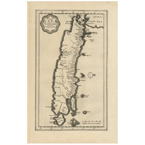
Maps and Sea Charts · Java
Antique Map of the Island of Java, Indonesia by P. Van Der Aa, 1713
1713 · 21.3 × 32.8 cm$760
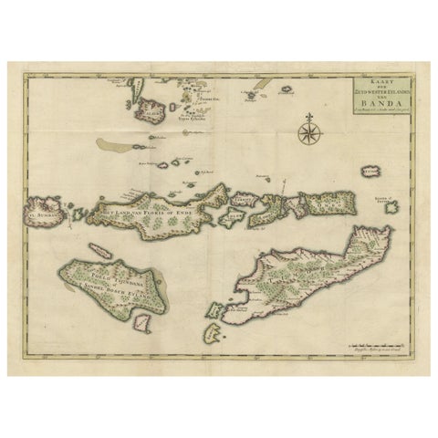
Maps and Sea Charts · Moluccas
Old Antique Map of the Sumbawa, Flores, Timor in the Banda Region of Indonesia
Date not stated · 53 × 39.5 cm$745
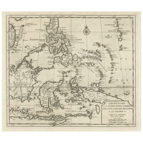
Maps and Sea Charts · Moluccas
Old Map of the Philippines and Part of Indonesia 'Spice Islands', 1744
1744 · 40 × 33.5 cm$740
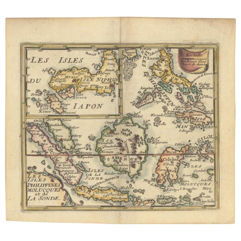
Maps and Sea Charts
1692 Jacq. Peeters Map: East Indies, Indonesia, Japan, Philippines and Singapore
1692 · 16.51 × 13.97 cm$740
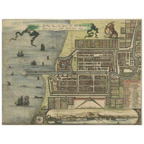
Maps and Sea Charts · Java
Rare 17th Century Map of Batavia and Castle on Java by Isaac de l'Obel
circa 1681 · 36 × 27.1 cm$740
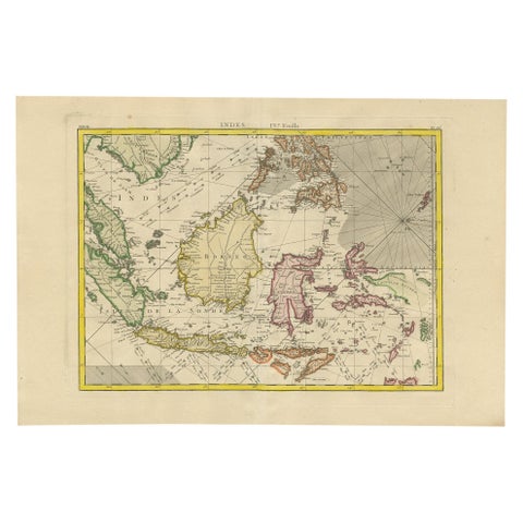
Maps and Sea Charts
Antique Map of the East Indies by Bonne '1776'
1776 · 37 × 54 cm$730
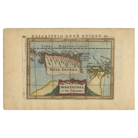
Maps and Sea Charts · New Guinea
Antique Miniature Map of New Guinea by Bertius, '1618'
1618 · 20 × 12.5 cm$730
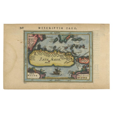
Maps and Sea Charts · Java
Antique Miniature Map of Java by Bertius '1618'
1618 · 20 × 12.5 cm$730
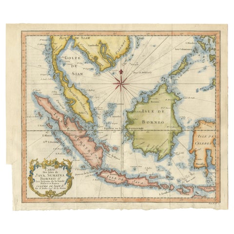
Maps and Sea Charts · Java
Java, Sumatra & Borneo Map, Bellin & van Schley Decorative Chart, 1750s
Date not stated · 32 × 26.5 cm$730
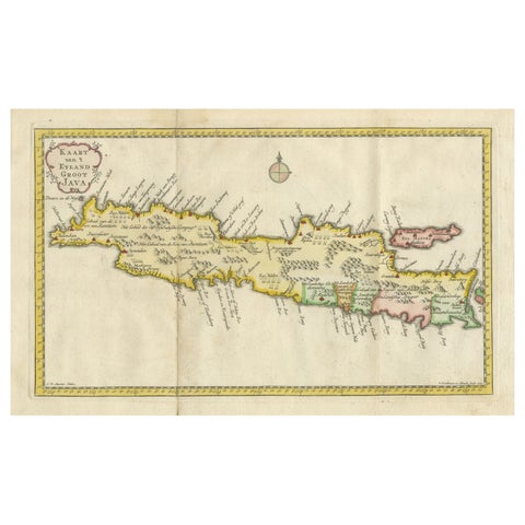
Maps and Sea Charts · Java
Scarce Antique Map of the Island of Java, Indonesia
1780 · 44.8 × 24.2 cm$730
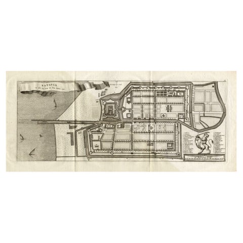
Maps and Sea Charts · Java
Antique Map of Batavia 'Jakarta, Indonesia', the Dutch East-Indies, 1782
1782 · 54 × 27.5 cm$715
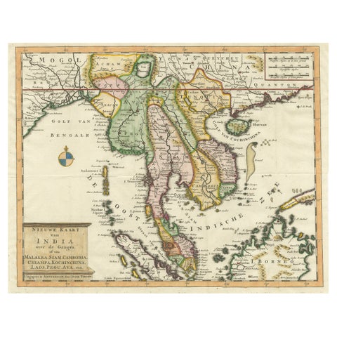
Maps and Sea Charts · Sumatra
Antique Map of Indochina, the Malaysian Peninsula and Northern Sumatra
Date not stated · 45 × 31.2 cm$715
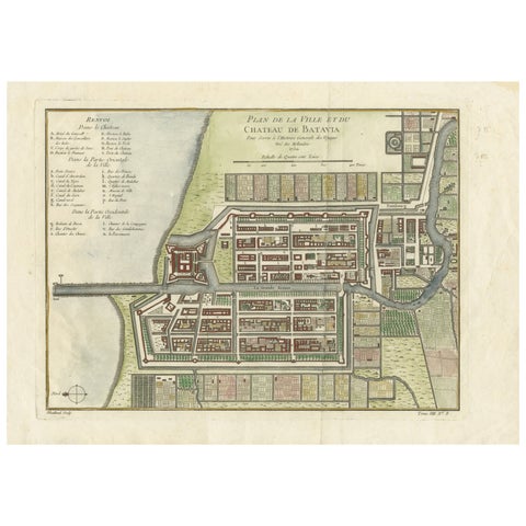
Maps and Sea Charts · Java
Hand-Colored 1750 Plan of Batavia, Colonial Jakarta, Indonesia by Jacques Bellin
1750 · 37.5 × 26.7 cm$715
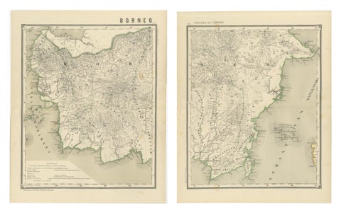
Maps and Sea Charts · Borneo
Antique Map Set of Western & Southern Borneo, Dutch East Indies Era, 1884
1884 · 39 × 48.5 cm$715
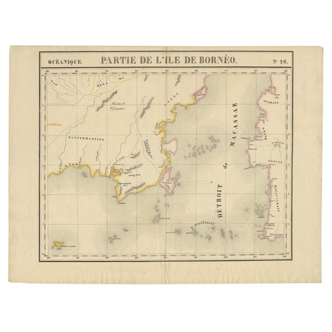
Maps and Sea Charts · Borneo
Antique Map of Part of Borneo 'Kalimantan' Indonesia, by Vandermaelen, C.1825
1825 · 70 × 53 cm$695
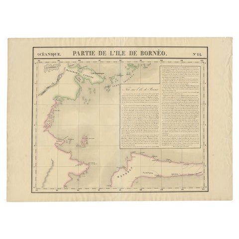
Maps and Sea Charts · Borneo
Antique Map of Part of Borneo 'Kalimantan' Indonesia by Vandermaelen, C.1825
1825 · 72 × 53 cm$695
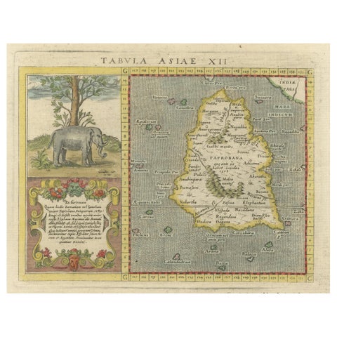
Maps and Sea Charts · Sumatra
1621 Ptolemy & Magini Map of Taprobana (Sumatra) with Elephant Inset
1621 · 19 × 28 cm$695
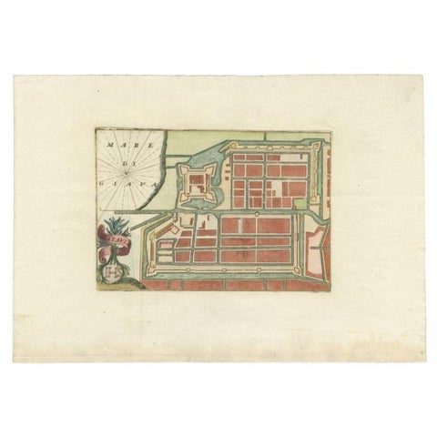
Maps and Sea Charts · Java
Antique Plan of Batavia in the Dutch East Indies or Nowadays Jakarta, Indonesia
circa 1720 · 49.5 × 34.5 cm$675
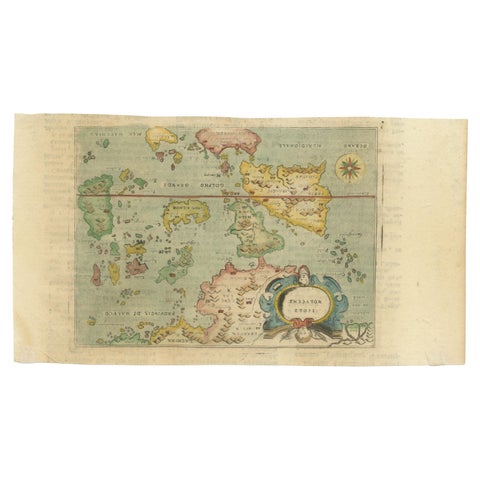
Maps and Sea Charts · Moluccas
Antique Miniature Map of the Maluku Islands by Lasor a Varea, 1713
1713 · 21.8 × 12 cm$670
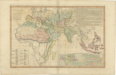
Maps and Sea Charts
Islamic World Map with Africa, Middle East, India, Indies, Wilkinson 1817
1817 · 52.8 × 34.2 cm$660
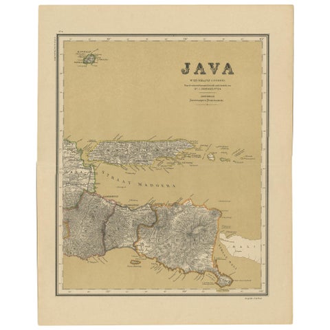
Maps and Sea Charts · Java
Antique Map of Java in 4 sheets by Dornseiffen, 1884
1884 · 39 × 49 cm$660
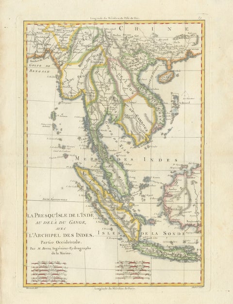
Maps and Sea Charts · Java
Elegant 18th Century Map of Southeast Asia, Siam, Sumatra & Java by Bonne, 1787
1787 · 31.5 × 45 cm$650
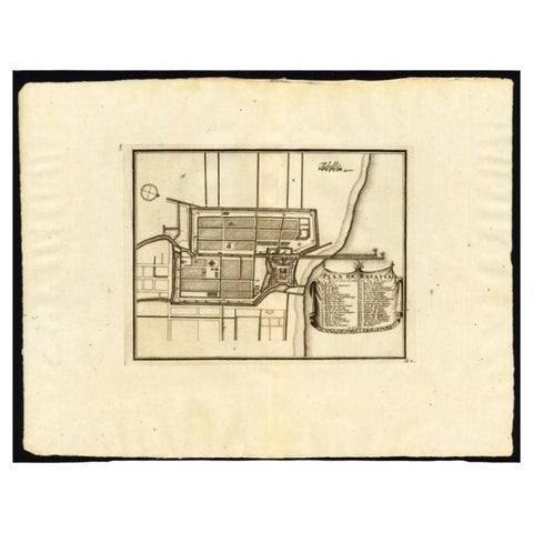
Maps and Sea Charts · Java
Antique Plan of Batavia, Capital of the Dutch East Indies, by Van Der Aa, 1725
1725 · 49 × 38 cm$640
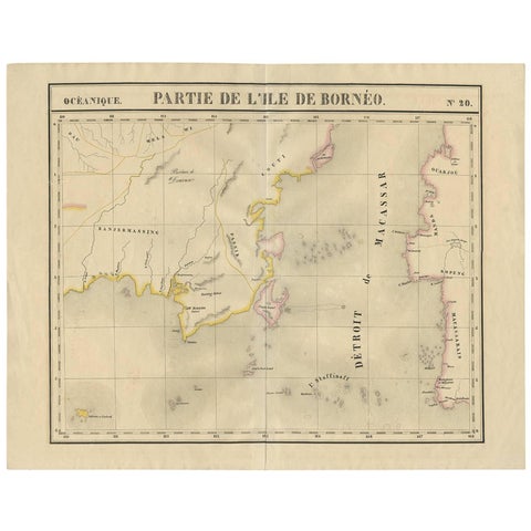
Maps and Sea Charts · Borneo
Antique Map of Southeast Borneo by P.M.G. Vandermaelen, 1827
1827 · 67 × 53 cm$630
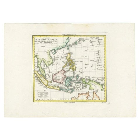
Maps and Sea Charts
Antique Map of Dutch East Indies (Indonesia) by C.F. Delamarche, Circa 1806
1806 · 57 × 44 cm$625
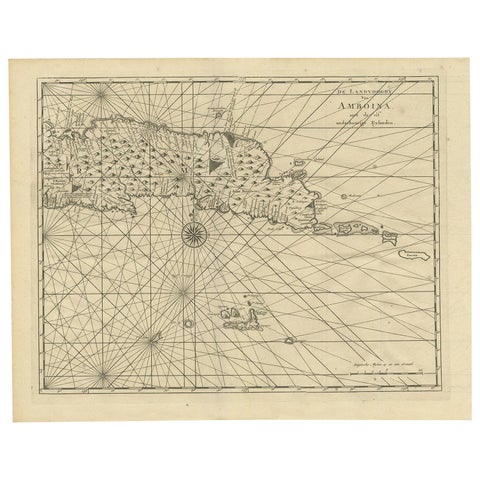
Maps and Sea Charts · Moluccas
Antique Map of Ambon and Surroundings by Valentijn '1726'
1726 · 43 × 34 cm$615
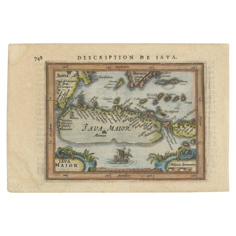
Maps and Sea Charts · Java
Antique Miniature Map of Java by Bertius/Hondius '1618'
1618 · 18 × 12.5 cm$615
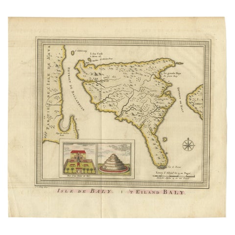
Maps and Sea Charts · Lesser Sunda
Anbtique Map of the Island of Bali by Van Schley '1755'
1755 · 28 × 25.5 cm$615
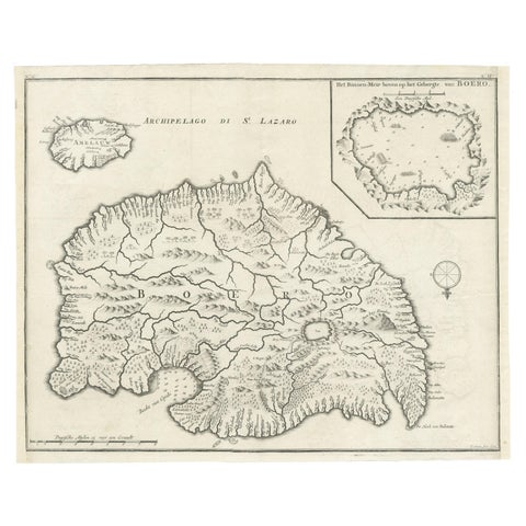
Maps and Sea Charts · Moluccas
Antique Map of Buru Island, Indonesia, c.1725
1725 · 40 × 32 cm$615
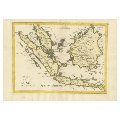
Maps and Sea Charts · Lesser Sunda
Old Original Antique Map of the Sunda Islands of Indonesia, 1756
1756 · 35 × 24.5 cm$615
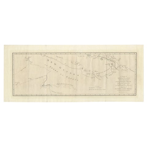
Maps and Sea Charts · New Guinea
Large Antique Map of New Guinea and New Britain Showing Capt. Cooks Tract, 1773
1773 · 29 × 71 cm$615
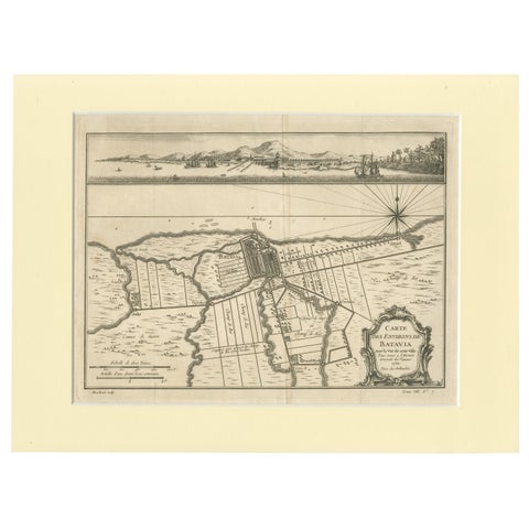
Maps and Sea Charts · Java
Old Engraving of Batavia 'Jakarta, Indonesia' with Map and Harbour View, 1750
1750 · 40 × 30 cm$615
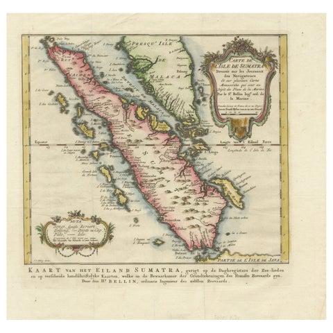
Maps and Sea Charts · Sumatra
Rare 1770 Bellin Map of Sumatra with Stunning Decorative Cartouches
1770 · 34.5 × 33.2 cm$615
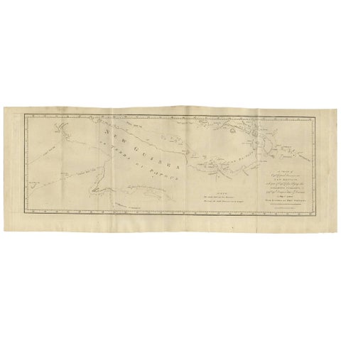
Maps and Sea Charts · New Guinea
Antique Map of New Guinea and New Britain by P. Carteret, circa 1773
1773 · 72.5 × 27 cm$615
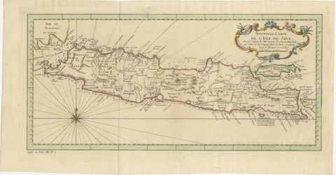
Maps and Sea Charts · Java
Antique Map of Java Indonesia, VOC Period, Decorative Cartouche, c.1750
1750 · 48.5 × 25.6 cm$615
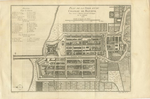
Maps and Sea Charts · Java
Antique Map of Batavia Jakarta Indonesia, Dutch East Indies, c.1750
1750 · 37.8 × 25 cm$610
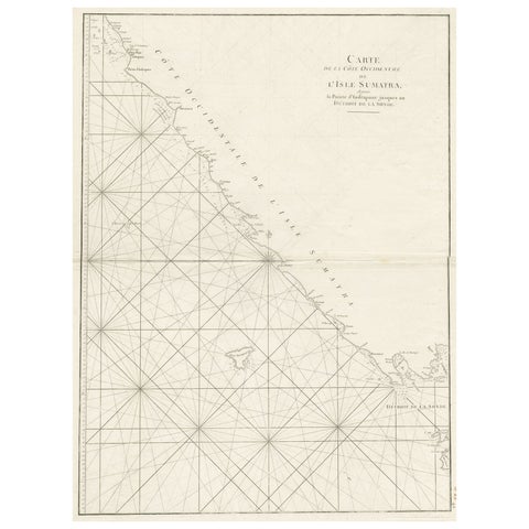
Maps and Sea Charts · Sumatra
Sea Chart of Part of the Southwestern Coast of Sumatra & Nias, Indonesia, C1775
1775 · 55 × 78 cm$605
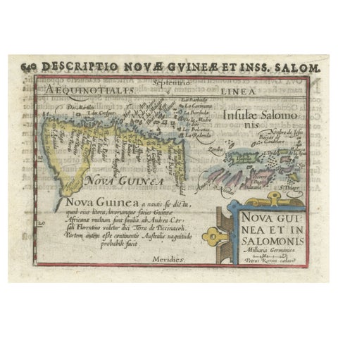
Maps and Sea Charts · New Guinea
Rare Original Miniature Map of Papua New Guinea and the Salomon Islands, 1600
1600 · 18 × 12 cm$605
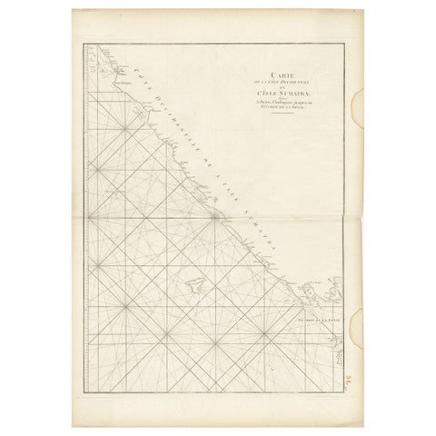
Maps and Sea Charts · Sumatra
Antique Sea Chart of the Coast of Sumatra, Indonesia, circa 1775
1775 · 55 × 78 cm$605
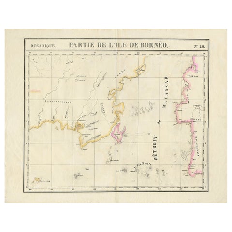
Maps and Sea Charts · Borneo
Detailed Antique Map of a Portion of Borneo and Sulawesi in Indonesia, c.1825
1825 · 69 × 53.5 cm$605
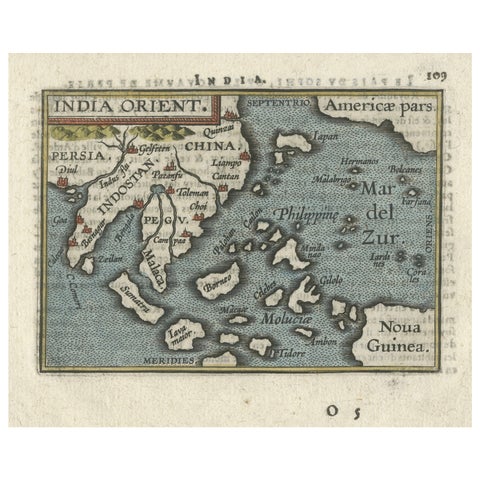
Maps and Sea Charts · New Guinea
1601 Miniature Map of Southeast Asia & Nova Guinea by Ortelius, Vrients Edition
1601 · 15.5 × 12 cm$605
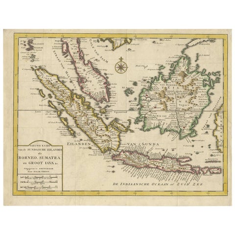
Maps and Sea Charts · Java
Antique Map of the Sunda Islands Sumatra, Java, Malay Peninsula & Borneo (1739)
1739 · 39.5 × 31 cm$605
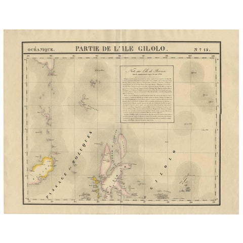
Maps and Sea Charts · Celebes
Antique Map of Southern Mindanao, Sulawesi and Gilolo Halmahera, Indonesia, 1827
1827 · 68 × 53 cm$585