Collection
Maps and Sea Charts
Maps and charts of the archipelago from Münster's woodcut of Sumatra of about 1590 to the Dornseiffen atlas of 1884: Blaeu and Janssonius, Valentijn's island maps of 1726, Bellin and Mannevillette for the French navy, and the town plans of Batavia.
139 sheets
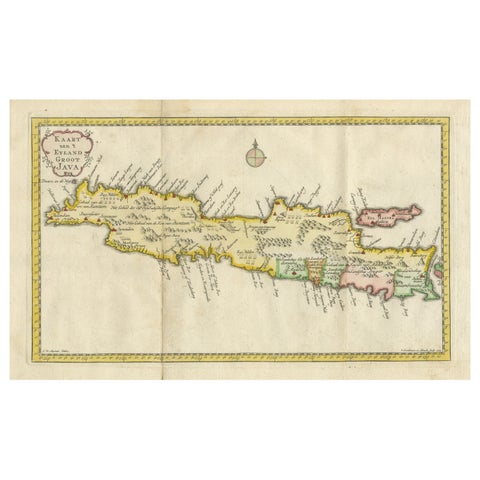
Maps and Sea Charts · Java
Scarce Antique Map of the Island of Java, Indonesia
1780 · 44.8 × 24.2 cm$730
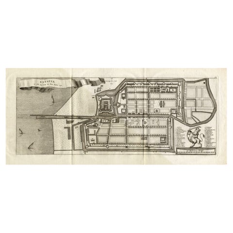
Maps and Sea Charts · Java
Antique Map of Batavia 'Jakarta, Indonesia', the Dutch East-Indies, 1782
1782 · 54 × 27.5 cm$715
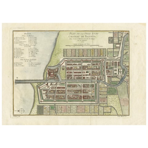
Maps and Sea Charts · Java
Hand-Colored 1750 Plan of Batavia, Colonial Jakarta, Indonesia by Jacques Bellin
1750 · 37.5 × 26.7 cm$715
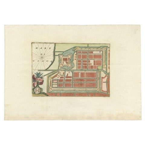
Maps and Sea Charts · Java
Antique Plan of Batavia in the Dutch East Indies or Nowadays Jakarta, Indonesia
circa 1720 · 49.5 × 34.5 cm$675
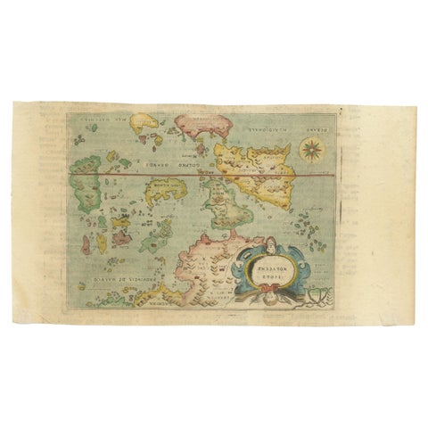
Maps and Sea Charts · Moluccas
Antique Miniature Map of the Maluku Islands by Lasor a Varea, 1713
1713 · 21.8 × 12 cm$670
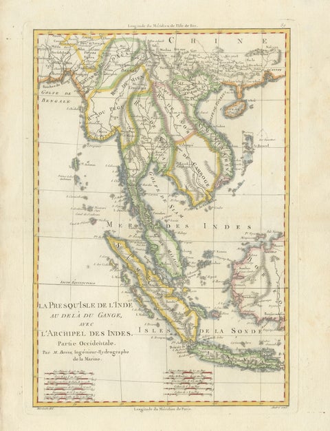
Maps and Sea Charts · Java
Elegant 18th Century Map of Southeast Asia, Siam, Sumatra & Java by Bonne, 1787
1787 · 31.5 × 45 cm$650
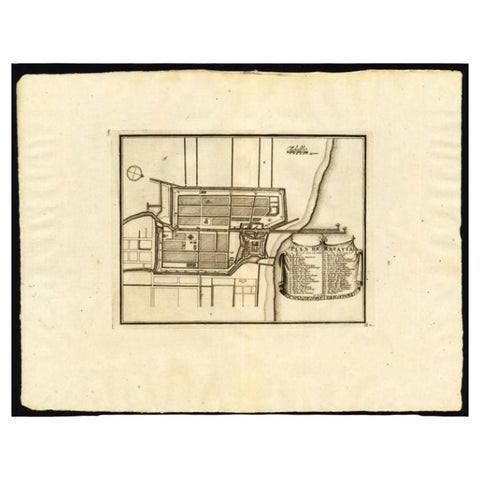
Maps and Sea Charts · Java
Antique Plan of Batavia, Capital of the Dutch East Indies, by Van Der Aa, 1725
1725 · 49 × 38 cm$640
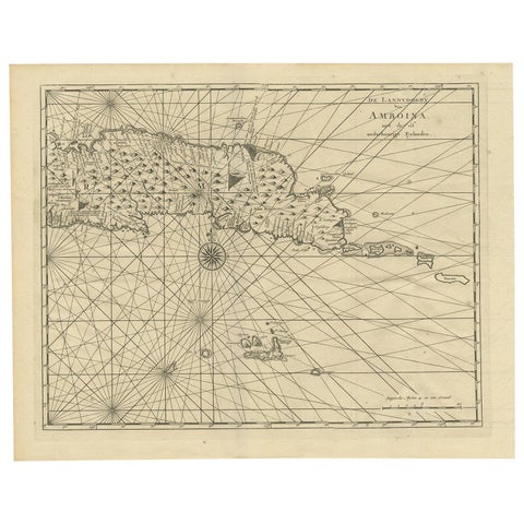
Maps and Sea Charts · Moluccas
Antique Map of Ambon and Surroundings by Valentijn '1726'
1726 · 43 × 34 cm$615
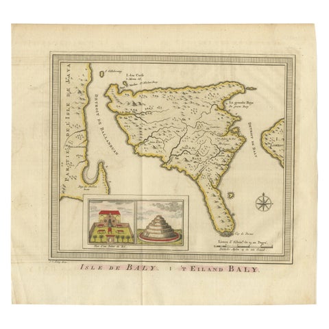
Maps and Sea Charts · Lesser Sunda
Anbtique Map of the Island of Bali by Van Schley '1755'
1755 · 28 × 25.5 cm$615
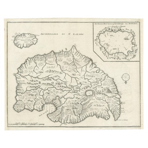
Maps and Sea Charts · Moluccas
Antique Map of Buru Island, Indonesia, c.1725
1725 · 40 × 32 cm$615
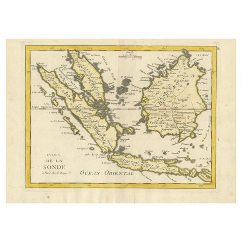
Maps and Sea Charts · Lesser Sunda
Old Original Antique Map of the Sunda Islands of Indonesia, 1756
1756 · 35 × 24.5 cm$615
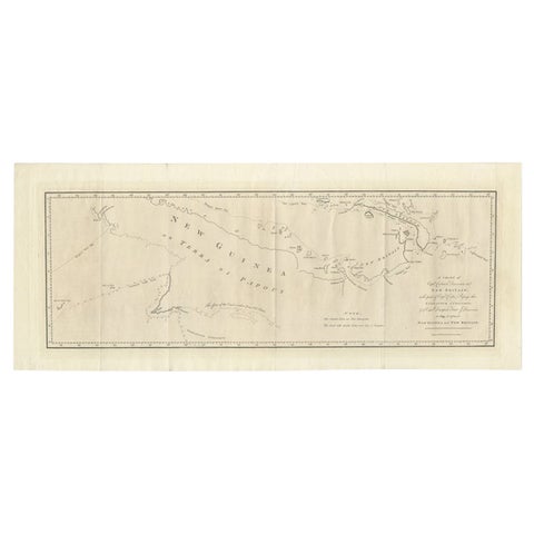
Maps and Sea Charts · New Guinea
Large Antique Map of New Guinea and New Britain Showing Capt. Cooks Tract, 1773
1773 · 29 × 71 cm$615
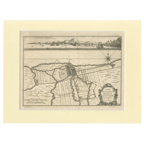
Maps and Sea Charts · Java
Old Engraving of Batavia 'Jakarta, Indonesia' with Map and Harbour View, 1750
1750 · 40 × 30 cm$615
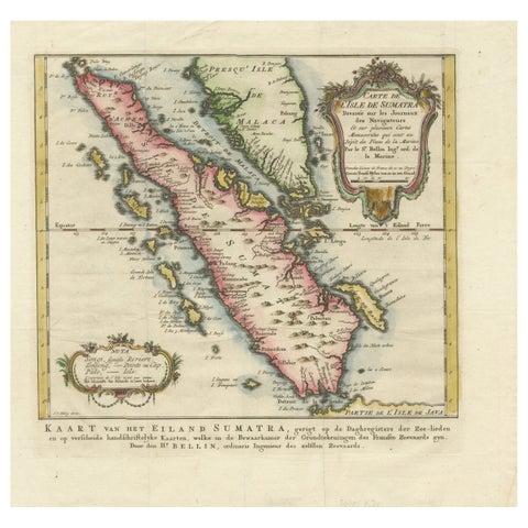
Maps and Sea Charts · Sumatra
Rare 1770 Bellin Map of Sumatra with Stunning Decorative Cartouches
1770 · 34.5 × 33.2 cm$615
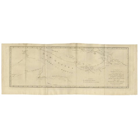
Maps and Sea Charts · New Guinea
Antique Map of New Guinea and New Britain by P. Carteret, circa 1773
1773 · 72.5 × 27 cm$615
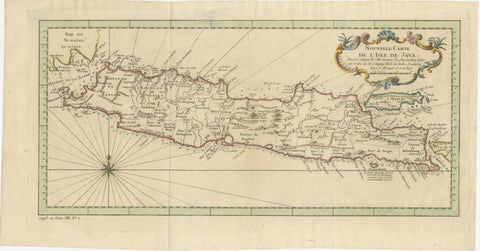
Maps and Sea Charts · Java
Antique Map of Java Indonesia, VOC Period, Decorative Cartouche, c.1750
1750 · 48.5 × 25.6 cm$615
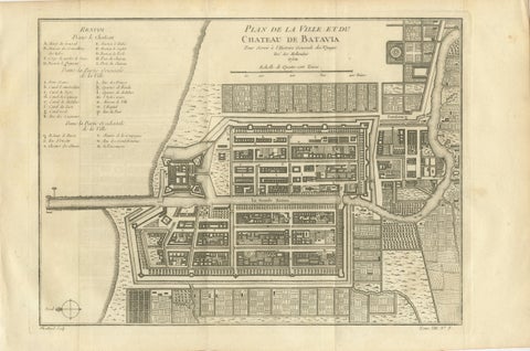
Maps and Sea Charts · Java
Antique Map of Batavia Jakarta Indonesia, Dutch East Indies, c.1750
1750 · 37.8 × 25 cm$610
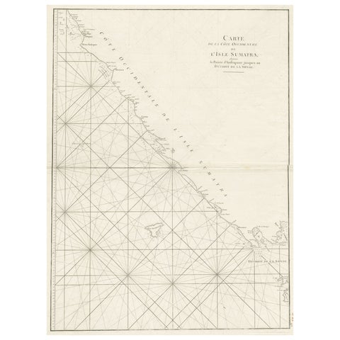
Maps and Sea Charts · Sumatra
Sea Chart of Part of the Southwestern Coast of Sumatra & Nias, Indonesia, C1775
1775 · 55 × 78 cm$605
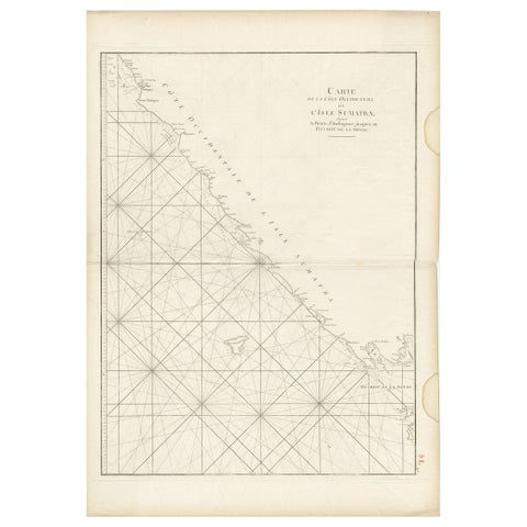
Maps and Sea Charts · Sumatra
Antique Sea Chart of the Coast of Sumatra, Indonesia, circa 1775
1775 · 55 × 78 cm$605
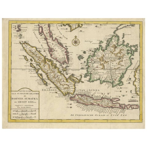
Maps and Sea Charts · Java
Antique Map of the Sunda Islands Sumatra, Java, Malay Peninsula & Borneo (1739)
1739 · 39.5 × 31 cm$605
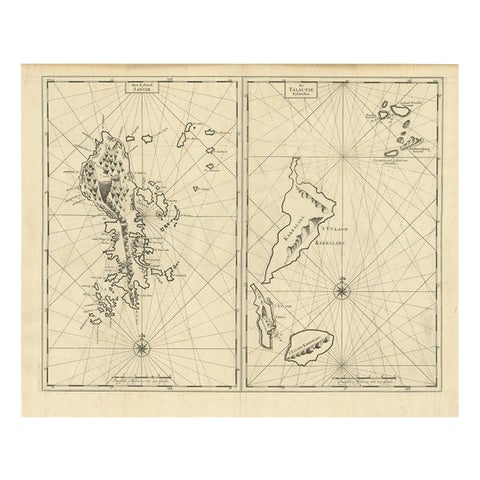
Maps and Sea Charts · Celebes
Antique Map of Sangir Island and the Talaud Islands by Valentijn, 1726
1726 · 64 × 52 cm$580
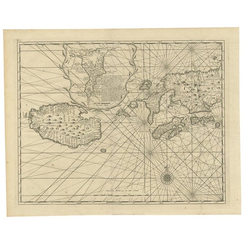
Maps and Sea Charts · Moluccas
Antique Map of Ambon and Boero by Valentijn, 1726
1726 · 42.5 × 34 cm$560
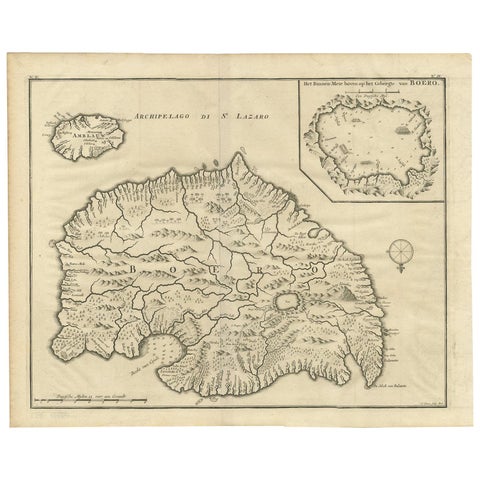
Maps and Sea Charts · Moluccas
Antique Map of Boero in Indonesia by Valentijn, 1726
1726 · 42 × 34 cm$560
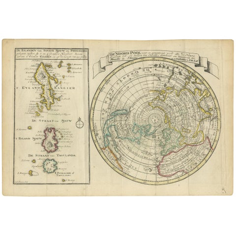
Maps and Sea Charts · Celebes
Antique Map of the North Pole & Sangihe Archipelago by Keizer & de Lat, 1788
1788 · 30 × 20.5 cm$560
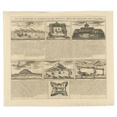
Maps and Sea Charts
Antique Print of Forts and Views of the East Indies or Nowadays Indonesia, 1719
1719 · 49.5 × 42.5 cm$550
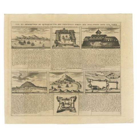
Maps and Sea Charts
Antique Print of Forts and Views of the East Indies by Chatelain (1719)
1719 · 51 × 43.5 cm$550
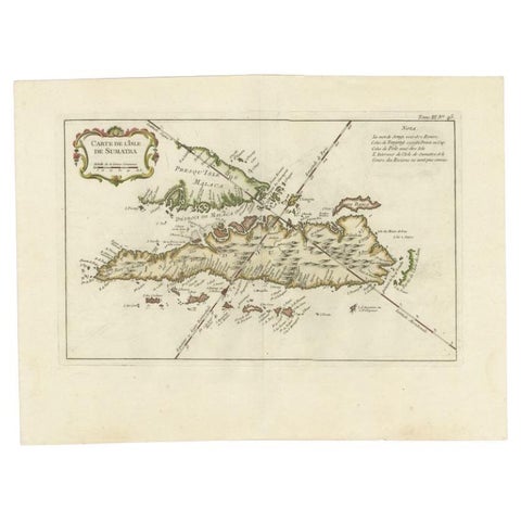
Maps and Sea Charts · Sumatra
Antique Map of Sumatra by Bellin, 1764
1764 · 43.5 × 32.5 cm$545
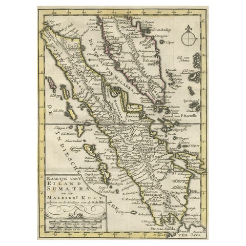
Maps and Sea Charts · Sumatra
Authentic Old Map of Sumatra, Malaysia and Singapore, 1745
1745 · 24 × 17 cm$535
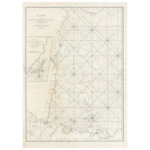
Maps and Sea Charts · Sumatra
Antique Sea Chart by J. B. d'Apres de Mannevillette, Sumatra, 1780
1780 · 53 × 76.7 cm$525
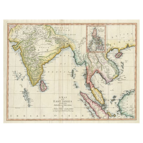
Maps and Sea Charts
Antique Map of the East Indies by T. Kitchin, Engraved, Circa 1779
1779 · 60.7 × 46.8 cm$525
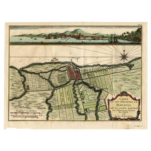
Maps and Sea Charts · Java
Antique Map of Batavia, Capital of The Dutch East Indies at the Time, 1751
1751 · 32 × 24.5 cm$505
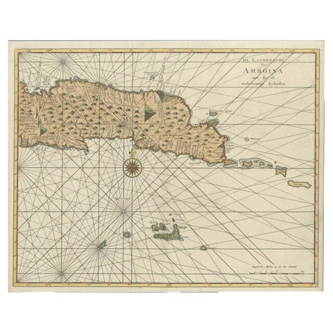
Maps and Sea Charts · Moluccas
Antique Map of Eastern Seram, Part of the Maluku Island in East Indonesia, 1726
1726 · 38.9 × 31 cm$505
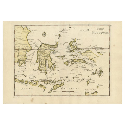
Maps and Sea Charts
Old Original Antique Map of the Islands of East Indonesia, 1756
1756 · 35 × 24.5 cm$505
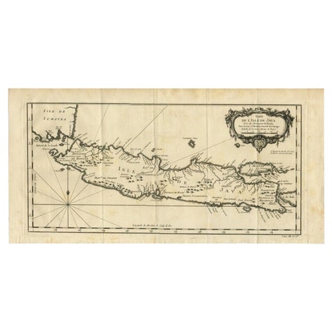
Maps and Sea Charts · Java
Antique Map of Java and Madura Island, Indonesia, c.1760
1760 · 24.5 × 50 cm$505
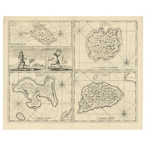
Maps and Sea Charts · Moluccas
Antique Map of Manipa and Other Maluku Islands, Indonesia, 1726
1726 · 52.5 × 61 cm$505
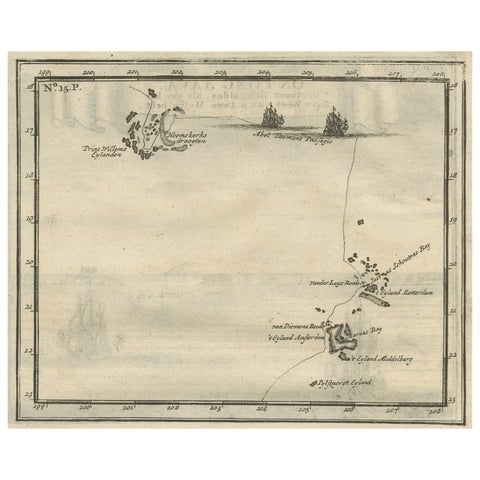
Maps and Sea Charts · Moluccas
Antique Map of the Banda Islands and the Route of Abel Tasman, Indonesia, 1726
1726 · 20 × 34 cm$505
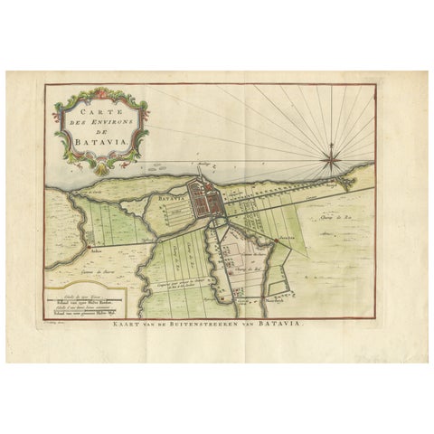
Maps and Sea Charts · Java
Map of Batavia’s Surroundings with Early Reference to Jakarta, Indonesia, c.1770
1770 · 35.7 × 25.2 cm$490
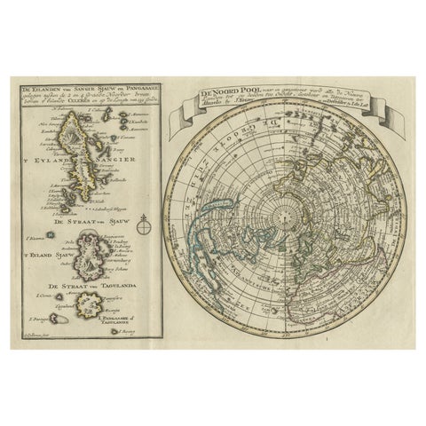
Maps and Sea Charts · Celebes
Nice Sheet of the Sangihe Archipelago in Indonesia & California Island, 1788
1788 · 30.5 × 20.5 cm$470
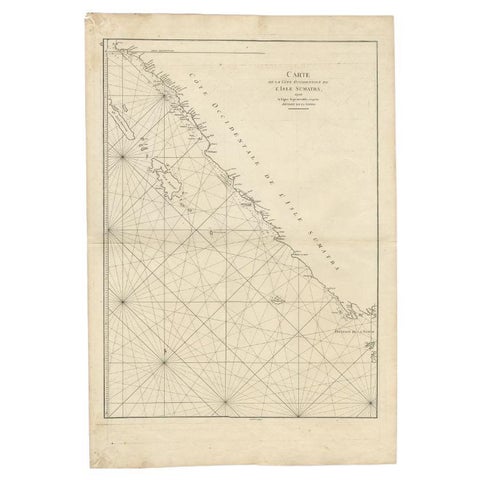
Maps and Sea Charts · Sumatra
Antique Map of the South-Western Coast of Sumatra by De la Haye, c.1780
1780 · 55 × 80 cm$455
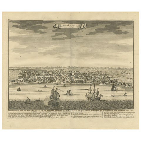
Maps and Sea Charts · Celebes
Antique Map of Samboepo by Valentijn, 1726
1726 · 40 × 34 cm$450
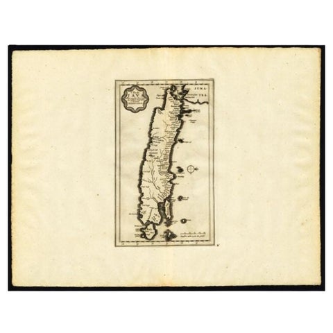
Maps and Sea Charts · Java
Antique Map of the Island of Java by Van Der Aa, 1725
1725 · 49 × 38 cm$440
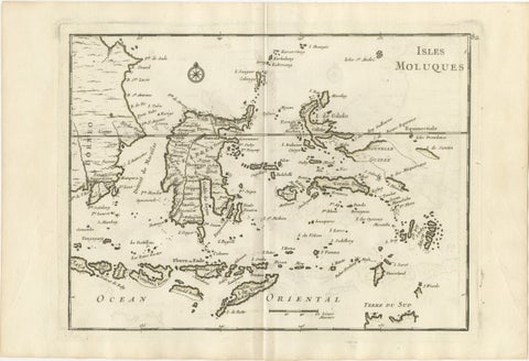
Maps and Sea Charts · Celebes
Antique Map of the Moluccas & Celebes, Le Rouge, French Engraving c.1750
1750 · 35.7 × 24.4 cm$440
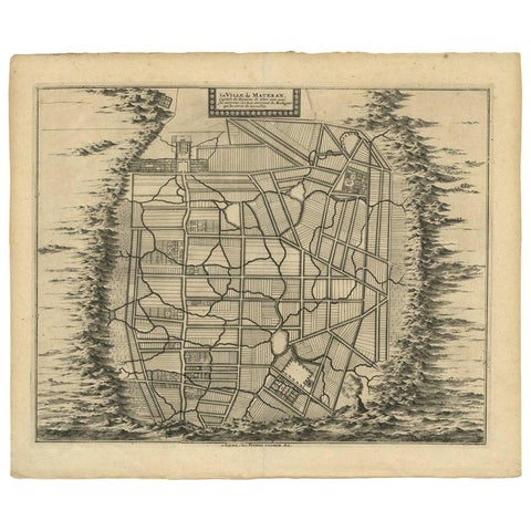
Maps and Sea Charts · Java
Antique Map of the City of Materan 'Indonesia' by P. van der Aa, circa 1725
1725 · 40.2 × 33 cm$440
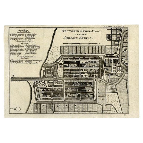
Maps and Sea Charts · Java
Antique Plan of Batavia and the Castle in the Dutch East Indies, 1763
1763 · 33 × 22.9 cm$435
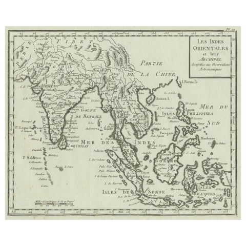
Maps and Sea Charts
Antique Map of India, the East Indies and the Philippines
circa 1760 · 25 × 20.2 cm$425
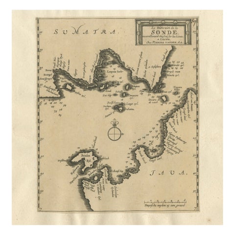
Maps and Sea Charts · Java
Sunda Strait Sea Chart, Sumatra and Java, Dutch Engraving c.1700
1700$425
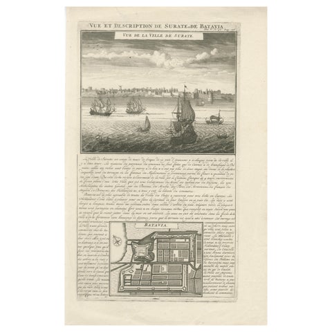
Maps and Sea Charts · Java
Antique View of Surat & Plan of Batavia, VOC India & Indonesia, Chatelain, 1719
1719 · 28 × 44 cm$425
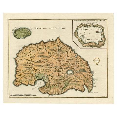
Maps and Sea Charts · Moluccas
Antique Map of Ambelau and Buru Island, Maluku or Moluccas in Indonesia, 1726
1726 · 42.7 × 34.8 cm$415