Collection
Maps and Sea Charts
Maps and charts of the archipelago from Münster's woodcut of Sumatra of about 1590 to the Dornseiffen atlas of 1884: Blaeu and Janssonius, Valentijn's island maps of 1726, Bellin and Mannevillette for the French navy, and the town plans of Batavia.
301 sheets
Maps and Sea Charts
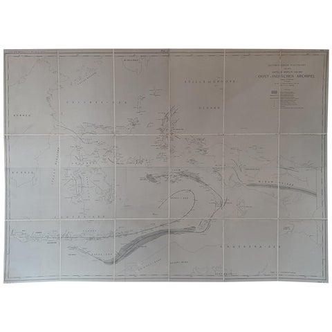
Large Antique Map of the East Indies by Brouwer, 1917
1917 · 126 × 90 cm£1,005
Maps and Sea Charts · Sumatra
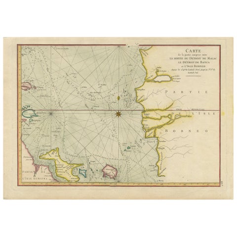
Antique Map of the Malacca and Bangka Strait by De Mannevillette '1775'
1775 · 55 × 39.5 cm£1,005
Maps and Sea Charts · Java
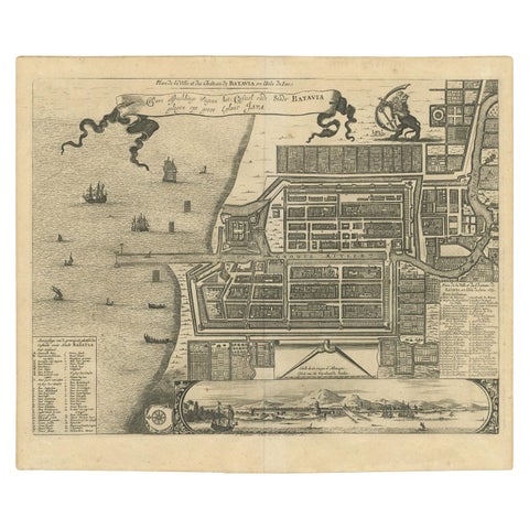
Antique Map of the City of Batavia by Van der Aa, circa 1730
1730 · 37.5 × 31 cm£1,005
Maps and Sea Charts
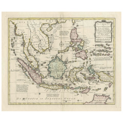
Rare Antique Map of the Dutch East Indies 'Indonesia', 1774
1774 · 46 × 60.5 cm£1,005
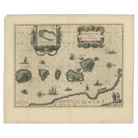
Maps and Sea Charts · Moluccas
Antique Map of the Maluku Islands by Blaeu, c.1640
1640 · 57.5 × 29 cm£980
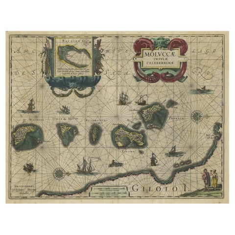
Maps and Sea Charts · Moluccas
Decorative Map of the Spice Islands in the Mollucas, Indonesia, ca.1640
1640 · 56.5 × 47 cm£965
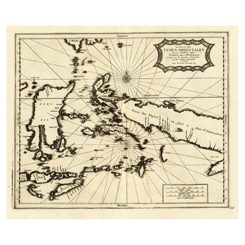
Maps and Sea Charts
Extremely Rare Map of the East-Indies towards the South-East 'Indonesia', 1725
1725 · 49 × 38 cm£965
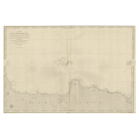
Maps and Sea Charts · Java
Early French Nautical Chart of the Northern Coast of of Java, Indonesia, C.1850
1850 · 98 × 67 cm£965
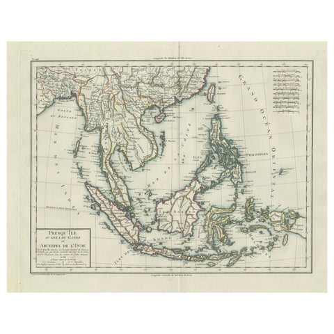
Maps and Sea Charts
1797 Tardieu Map of Southeast Asia: The Malay Archipelago and Beyond
1797 · 48.5 × 64 cm£965
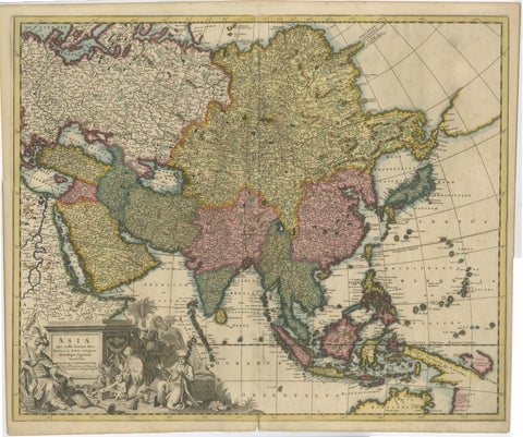
Maps and Sea Charts
Decorative Antique Map of Asia and the East Indies, circa 1720
1720 · 61.7 × 51.4 cm£965
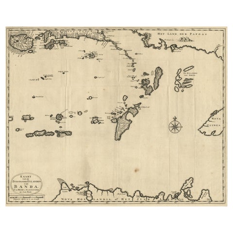
Maps and Sea Charts · Moluccas
Map of the Southeastern Part of the Banda Islands, Incl Northern Australia, 1726
1726 · 58.5 × 47 cm£940
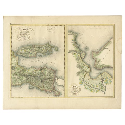
Maps and Sea Charts · Java
Antique Map of Madura and Surabaya by Van den Bosch, '1818'
1818 · 58 × 46 cm£925
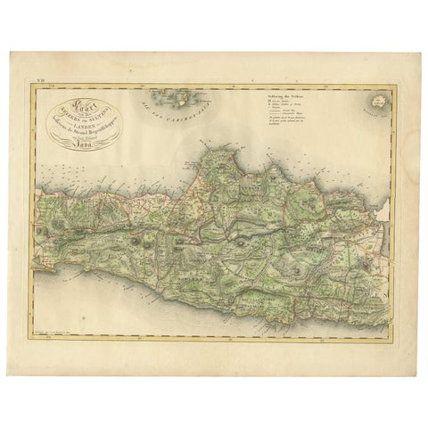
Maps and Sea Charts · Java
Antique Map of Central and East Java by Van den Bosch, 1818
1818 · 58 × 46 cm£925
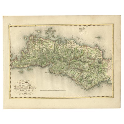
Maps and Sea Charts · Java
Antique Map of Bantam, Jakarta and Cirebon by Van den Bosch '1818'
1818 · 58 × 46 cm£925
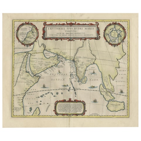
Maps and Sea Charts · Java
Old Map of Ancient Times covering Egypt Towards Arabia and India to Java, c.1660
1660 · 57 × 49.5 cm£920
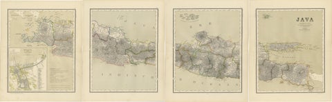
Maps and Sea Charts · Java
Four Antique Java Maps with Batavia Plan, Dutch East Indies Wall Set 1880s
Date not stated · 39 × 48.5 cm£920
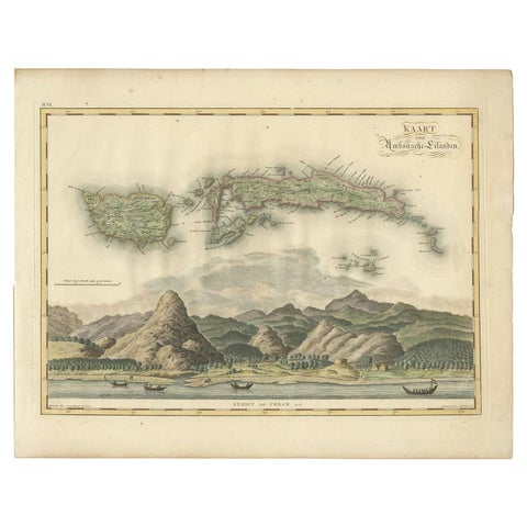
Maps and Sea Charts · Moluccas
Antique Map of Seram, Boero and the Banda Islands by Van den Bosch '1818'
1818 · 58 × 46 cm£900
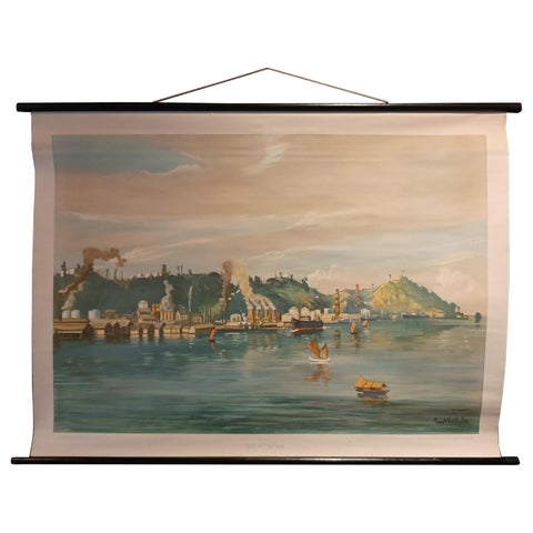
Maps and Sea Charts · Borneo
Vintage Wall Chart of Balikpapan 'Indonesia', circa 1920
1920 · 115 × 85 cm£835
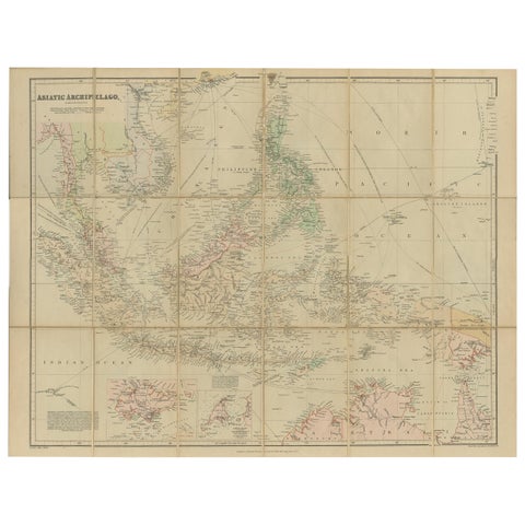
Maps and Sea Charts
Antique Map of the Asiatic Archipelago by E. Stanford, circa 1910
1910 · 57 × 52 cm£835
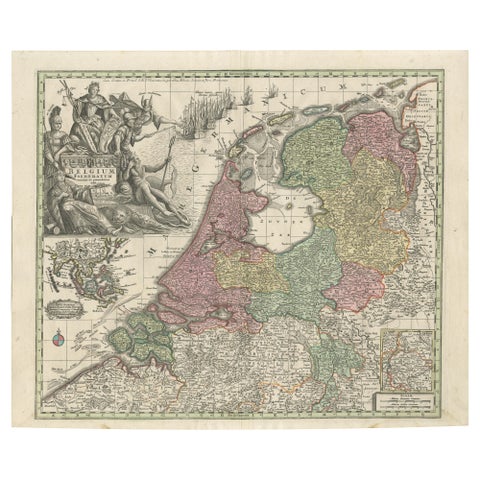
Maps and Sea Charts
Dutch Republic & East Indies, Belgium Foederatum Map by Seutter, 18th Century
Date not stated · 64 × 53 cm£830
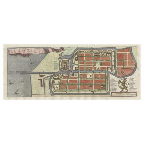
Maps and Sea Charts · Java
Antique Map of Batavia, Nowadays Jakarta, the Capital of Indonesia, 1782
1782 · 53.5 × 25 cm£795
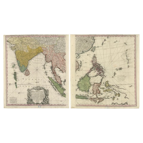
Maps and Sea Charts
1748 Homann Heirs Double Map of the East Indies and Southeast Asia
1748 · 47.5 × 53 cm£795
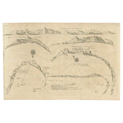
Maps and Sea Charts
Rare Map of Six Coast Views and Anchorages of Sierra Leone and Indonesia, 1660
1660 · 54 × 35.5 cm£755
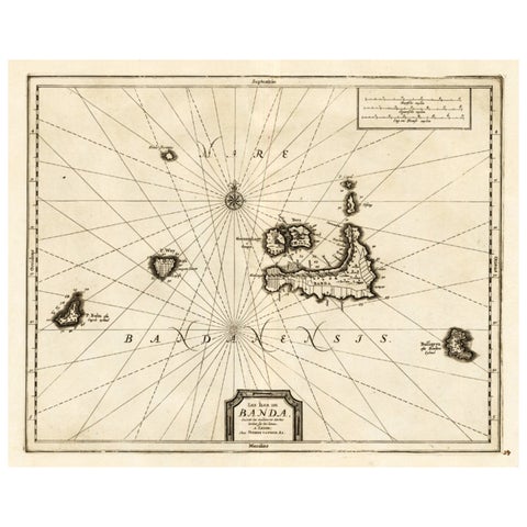
Maps and Sea Charts · Moluccas
Antique Map of the Islands of Banda, Indonesia from a Very Rare Edition, 1725
1725 · 49 × 38 cm£745
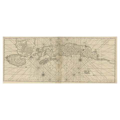
Maps and Sea Charts · Moluccas
Antique Map of the Moluccas or the Famed Spice Islands of Indonesia, 1724
1724 · 81.5 × 35 cm£745
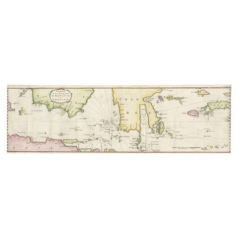
Maps and Sea Charts · Java
Rare Chart of Indonesia Including Borneo, Java, Celebes, Ceram and More, 1779
1779 · 74.5 × 23 cm£745
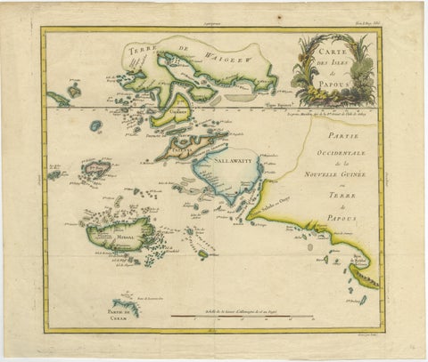
Maps and Sea Charts · New Guinea
Antique Map of Raja Ampat and New Guinea, Bellin, Papuan Islands c.1749
1749 · 44 × 36.5 cm£745
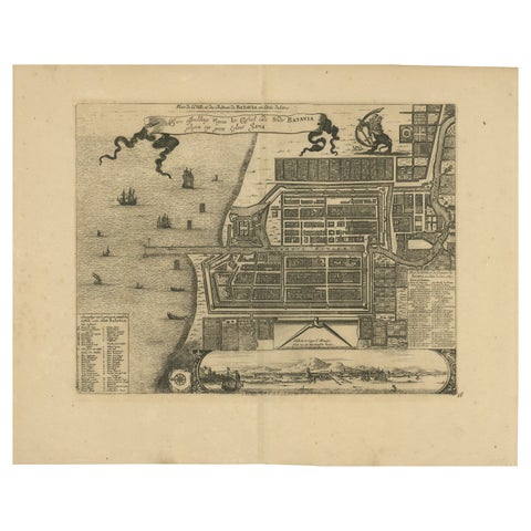
Maps and Sea Charts · Java
1728 Map of Batavia Castle & City, Java, Van der Aa after 1669
1728 · 46.5 × 36.6 cm£735
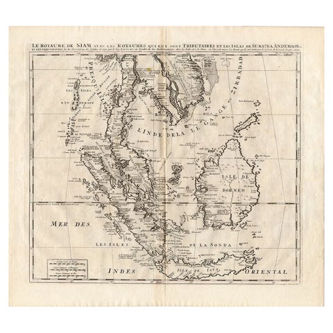
Maps and Sea Charts
Antique Map of Southeast Asia by Chatelain, c.1732
1732 · 50 × 44 cm£720
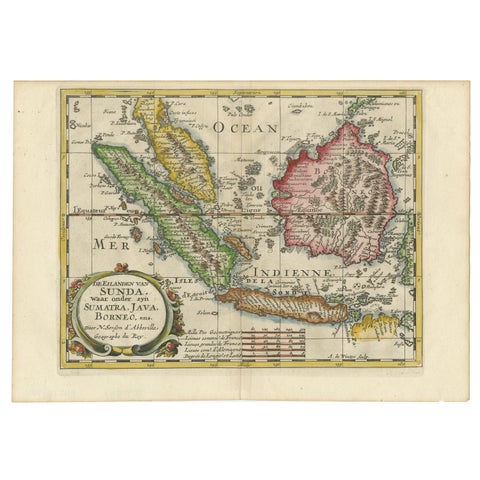
Maps and Sea Charts · Java
Antique Map of the Sunda Islands Including Sumatra, Java, and Borneo, 1705
1705 · 30.2 × 22 cm£720
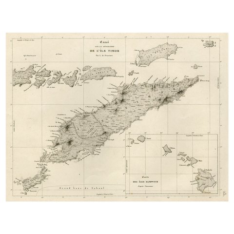
Maps and Sea Charts · Lesser Sunda
Rare Antique Map with Timor and Nearby Islands Plus an Inset of Hawaii, 1825
1825 · 50 × 34 cm£710
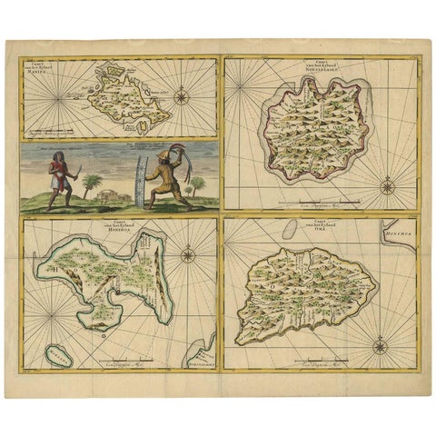
Maps and Sea Charts · Moluccas
Antique Map of Manipa, Nusa-Laut, Saparua & Haruku 'Indonesia' by F. Valentijn
Date not stated · 60 × 50.5 cm£710
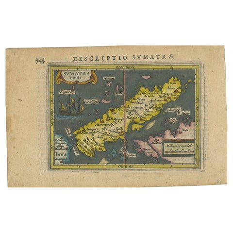
Maps and Sea Charts · Sumatra
1616 Bertius Map of Sumatra, Singapore and the Straits of Malacca
1616 · 19 × 12 cm£705
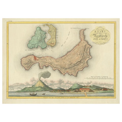
Maps and Sea Charts · Moluccas
Colonial Cartography: The Banda Islands, the Epicenter of the Spice Trade, 1818
1818 · 61.5 × 49.2 cm£705
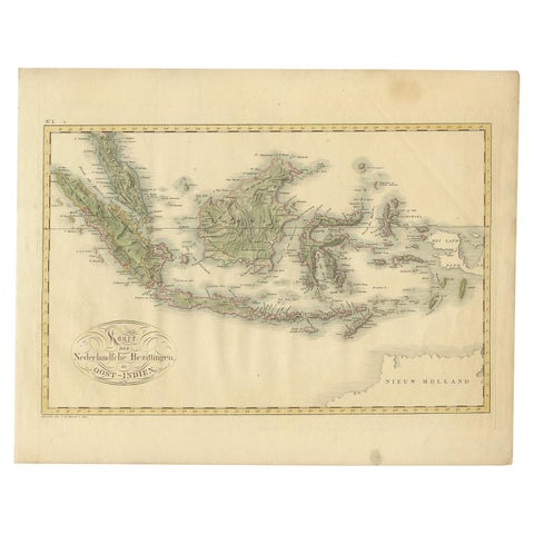
Maps and Sea Charts
Antique Map of the Dutch East Indies by Van den Bosch '1818'
1818 · 58 × 46 cm£700
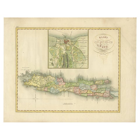
Maps and Sea Charts · Java
Antique Map of Java and Batavia of nowadays Indonesia, '1818'
1818 · 58 × 46 cm£695
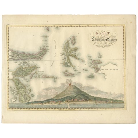
Maps and Sea Charts · Moluccas
Antique Map of the Ternate Islands by Van den Bosch '1818'
1818 · 58 × 46 cm£695
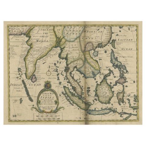
Maps and Sea Charts · Lesser Sunda
Antique Map of Southeast Asia from Persia to the Timor Island, 1712
1712 · 53.5 × 42 cm£660
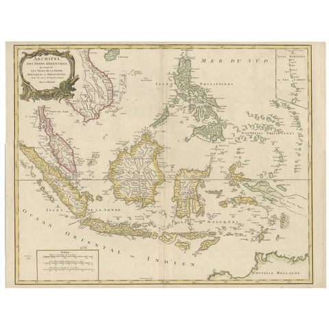
Maps and Sea Charts
Antique Map of the Indonesian and Philippine Archipelagos by R. de Vaugondy
Date not stated · 63.8 × 49.5 cm£650
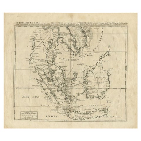
Maps and Sea Charts
Antique Map of Southeast Asia by Chatelain, c.1732
1732 · 51 × 44.5 cm£650
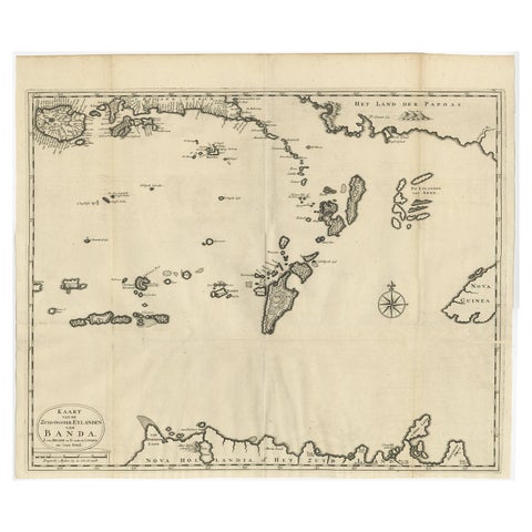
Maps and Sea Charts · Moluccas
Original Antique Map Southeast of the Banda or Spice Islands, Indonesia, 1726
1726 · 59 × 50 cm£645
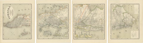
Maps and Sea Charts · Sumatra
An Impressive Four-Sheet Map Set of Sumatra from the Dutch East Indies, 1884
1884 · 39 × 48.5 cm£645
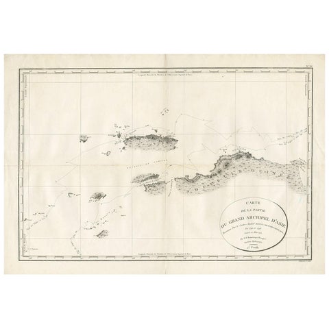
Maps and Sea Charts
Antique Map of Indonesia by C.F. Beautemps-Beaupre, circa 1807
1807 · 84 × 57.5 cm£630

Maps and Sea Charts · Java
Rare Small Map of Sumatra, Java, Borneo, Macassar, Madura, Bali, 1614
1614 · 24 × 18 cm£630
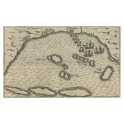
Maps and Sea Charts · Java
Small Map of Bantam with Dutch Ships and an Engraving of Portugese, 1614
1614 · 24 × 18 cm£630
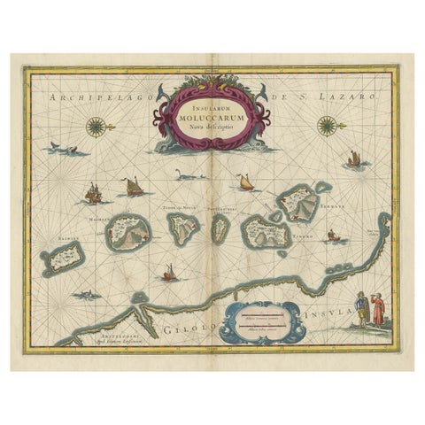
Maps and Sea Charts · Moluccas
Beautiful Antique Map of the Moluccas or Spice Islands, Indonesia, ca.1650
1650 · 57.5 × 53 cm£620
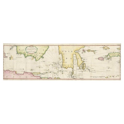
Maps and Sea Charts
Rare Authentic Engraved Map of Large Part of Indonesia by Stavorinus, 1779
1779 · 23 × 74.5 cm£620
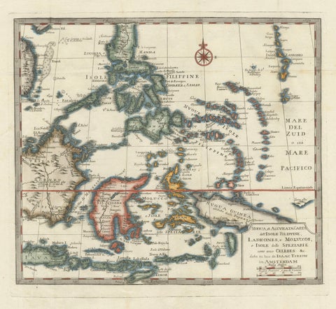
Maps and Sea Charts · Moluccas
Antique Map of the Philippines & Eastern Indonesia: Spice Islands by Tirion 1738
1738 · 48.7 × 37.6 cm£620