Every map and print
301 sheets
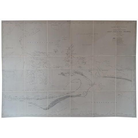
Maps and Sea Charts
Large Antique Map of the East Indies by Brouwer, 1917
1917 · 126 × 90 cm$1,345
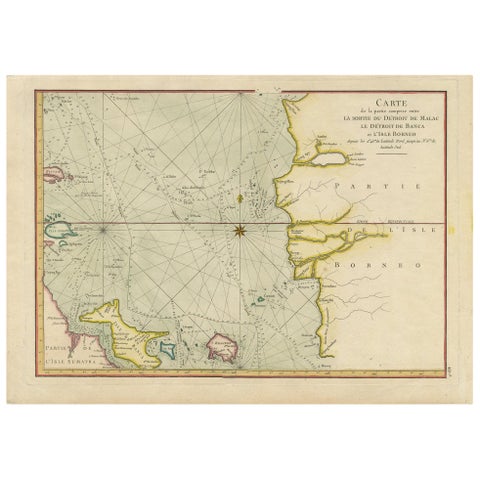
Maps and Sea Charts · Sumatra
Antique Map of the Malacca and Bangka Strait by De Mannevillette '1775'
1775 · 55 × 39.5 cm$1,345
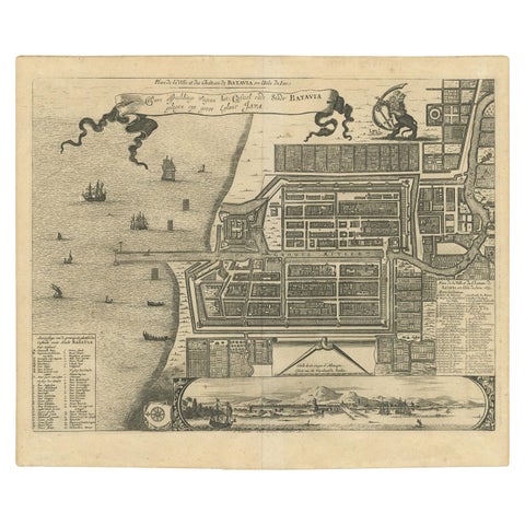
Maps and Sea Charts · Java
Antique Map of the City of Batavia by Van der Aa, circa 1730
1730 · 37.5 × 31 cm$1,345
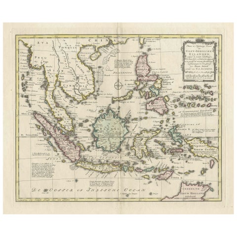
Maps and Sea Charts
Rare Antique Map of the Dutch East Indies 'Indonesia', 1774
1774 · 46 × 60.5 cm$1,345
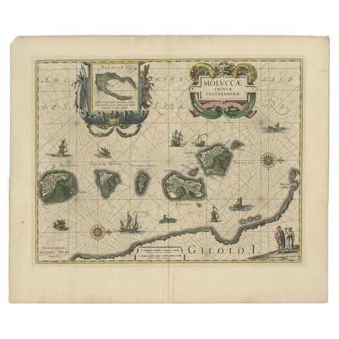
Maps and Sea Charts · Moluccas
Antique Map of the Maluku Islands by Blaeu, c.1640
1640 · 57.5 × 29 cm$1,310
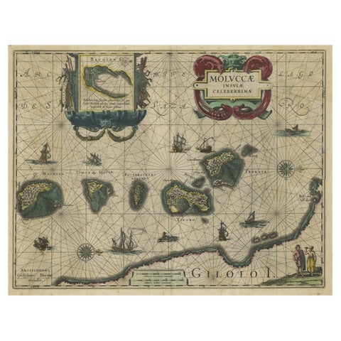
Maps and Sea Charts · Moluccas
Decorative Map of the Spice Islands in the Mollucas, Indonesia, ca.1640
1640 · 56.5 × 47 cm$1,285
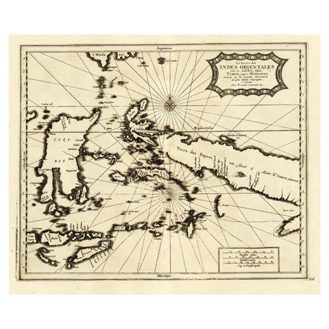
Maps and Sea Charts
Extremely Rare Map of the East-Indies towards the South-East 'Indonesia', 1725
1725 · 49 × 38 cm$1,285
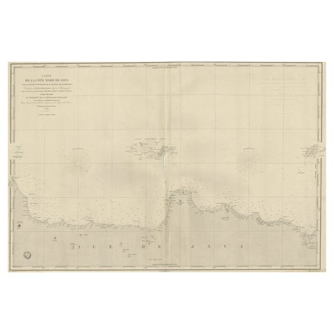
Maps and Sea Charts · Java
Early French Nautical Chart of the Northern Coast of of Java, Indonesia, C.1850
1850 · 98 × 67 cm$1,285
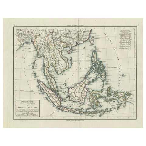
Maps and Sea Charts
1797 Tardieu Map of Southeast Asia: The Malay Archipelago and Beyond
1797 · 48.5 × 64 cm$1,285
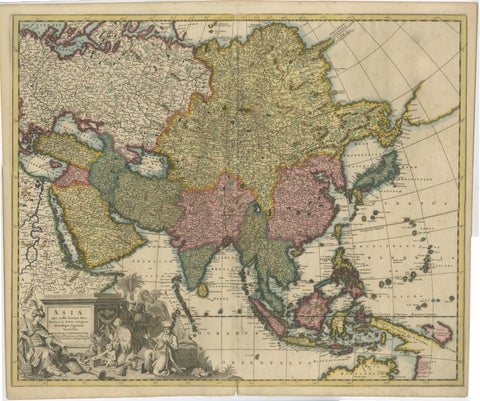
Maps and Sea Charts
Decorative Antique Map of Asia and the East Indies, circa 1720
1720 · 61.7 × 51.4 cm$1,285
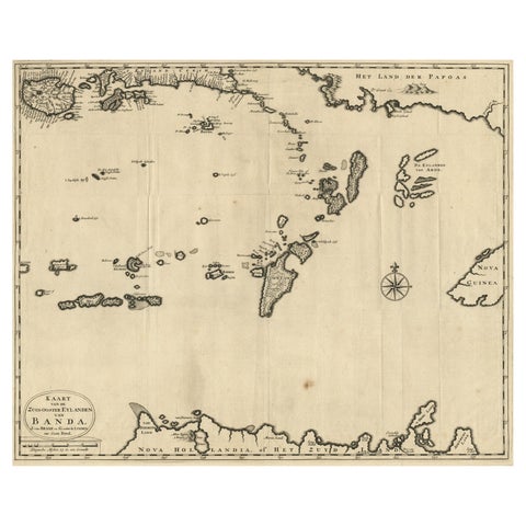
Maps and Sea Charts · Moluccas
Map of the Southeastern Part of the Banda Islands, Incl Northern Australia, 1726
1726 · 58.5 × 47 cm$1,255
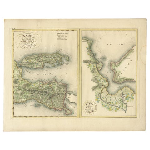
Maps and Sea Charts · Java
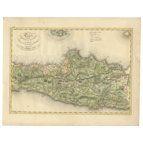
Antique Map of Madura and Surabaya by Van den Bosch, '1818'
1818 · 58 × 46 cm$1,235
Maps and Sea Charts · Java
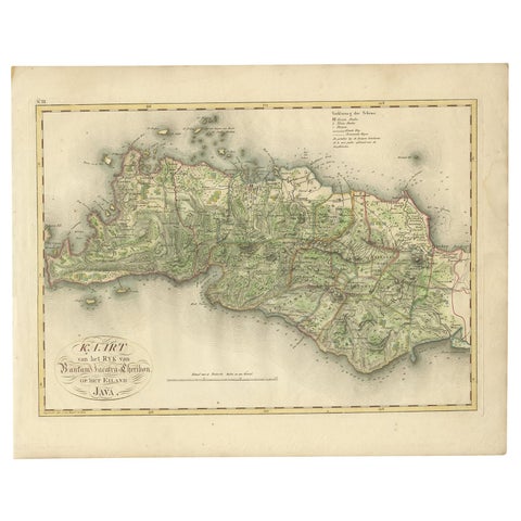
Antique Map of Central and East Java by Van den Bosch, 1818
1818 · 58 × 46 cm$1,235
Maps and Sea Charts · Java
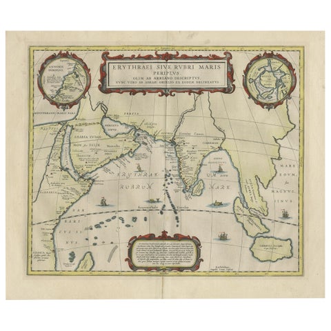
Antique Map of Bantam, Jakarta and Cirebon by Van den Bosch '1818'
1818 · 58 × 46 cm$1,235
Maps and Sea Charts · Java
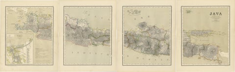
Old Map of Ancient Times covering Egypt Towards Arabia and India to Java, c.1660
1660 · 57 × 49.5 cm$1,230
Maps and Sea Charts · Java
Four Antique Java Maps with Batavia Plan, Dutch East Indies Wall Set 1880s
Date not stated · 39 × 48.5 cm$1,230
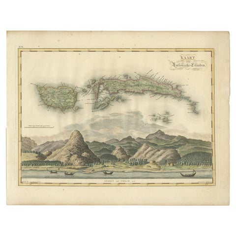
Maps and Sea Charts · Moluccas
Antique Map of Seram, Boero and the Banda Islands by Van den Bosch '1818'
1818 · 58 × 46 cm$1,205
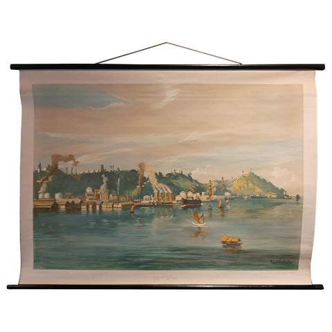
Maps and Sea Charts · Borneo
Vintage Wall Chart of Balikpapan 'Indonesia', circa 1920
1920 · 115 × 85 cm$1,120
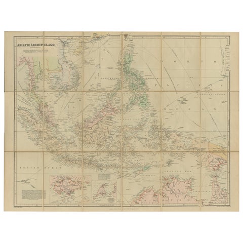
Maps and Sea Charts
Antique Map of the Asiatic Archipelago by E. Stanford, circa 1910
1910 · 57 × 52 cm$1,120
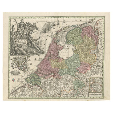
Maps and Sea Charts
Dutch Republic & East Indies, Belgium Foederatum Map by Seutter, 18th Century
Date not stated · 64 × 53 cm$1,110
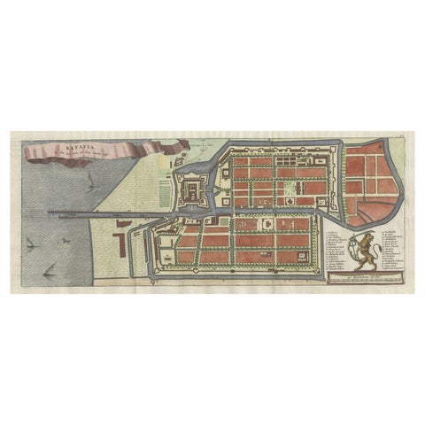
Maps and Sea Charts · Java
Antique Map of Batavia, Nowadays Jakarta, the Capital of Indonesia, 1782
1782 · 53.5 × 25 cm$1,065
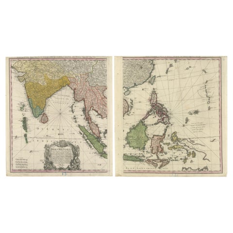
Maps and Sea Charts
1748 Homann Heirs Double Map of the East Indies and Southeast Asia
1748 · 47.5 × 53 cm$1,065
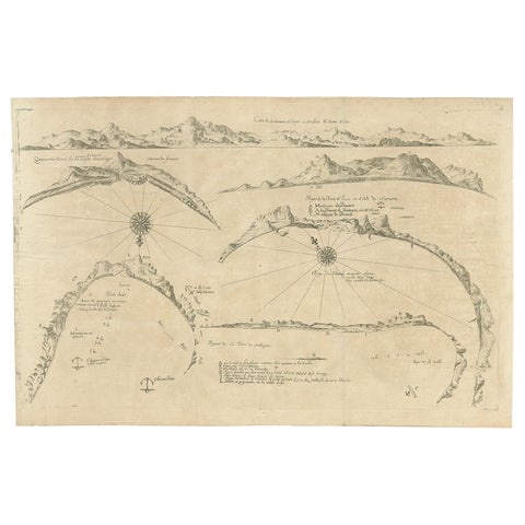
Maps and Sea Charts
Rare Map of Six Coast Views and Anchorages of Sierra Leone and Indonesia, 1660
1660 · 54 × 35.5 cm$1,005
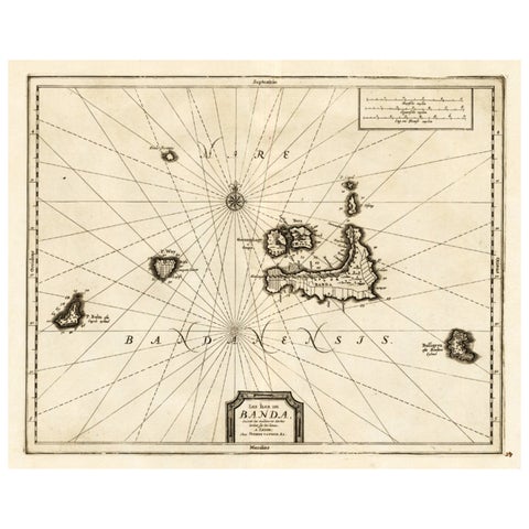
Maps and Sea Charts · Moluccas
Antique Map of the Islands of Banda, Indonesia from a Very Rare Edition, 1725
1725 · 49 × 38 cm$995
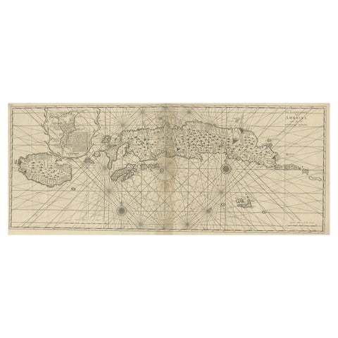
Maps and Sea Charts · Moluccas
Antique Map of the Moluccas or the Famed Spice Islands of Indonesia, 1724
1724 · 81.5 × 35 cm$995
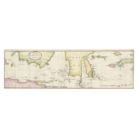
Maps and Sea Charts · Java
Rare Chart of Indonesia Including Borneo, Java, Celebes, Ceram and More, 1779
1779 · 74.5 × 23 cm$995
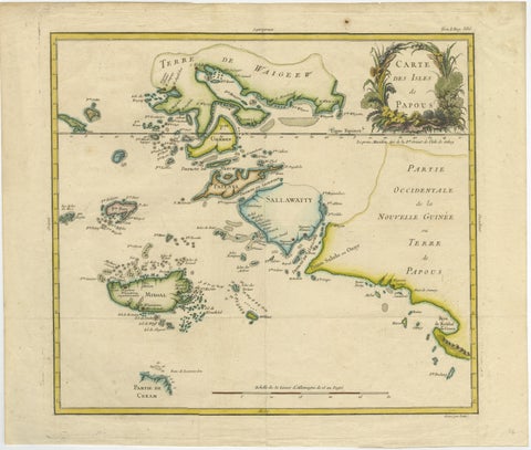
Maps and Sea Charts · New Guinea
Antique Map of Raja Ampat and New Guinea, Bellin, Papuan Islands c.1749
1749 · 44 × 36.5 cm$995
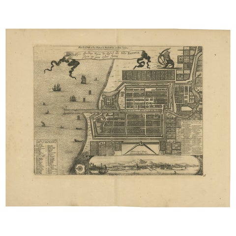
Maps and Sea Charts · Java
1728 Map of Batavia Castle & City, Java, Van der Aa after 1669
1728 · 46.5 × 36.6 cm$985
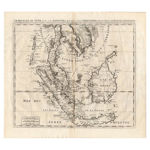
Maps and Sea Charts
Antique Map of Southeast Asia by Chatelain, c.1732
1732 · 50 × 44 cm$965
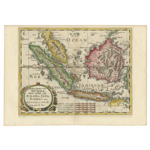
Maps and Sea Charts · Java
Antique Map of the Sunda Islands Including Sumatra, Java, and Borneo, 1705
1705 · 30.2 × 22 cm$965
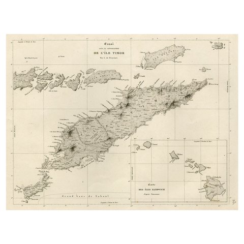
Maps and Sea Charts · Lesser Sunda
Rare Antique Map with Timor and Nearby Islands Plus an Inset of Hawaii, 1825
1825 · 50 × 34 cm$950
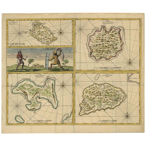
Maps and Sea Charts · Moluccas
Antique Map of Manipa, Nusa-Laut, Saparua & Haruku 'Indonesia' by F. Valentijn
Date not stated · 60 × 50.5 cm$950
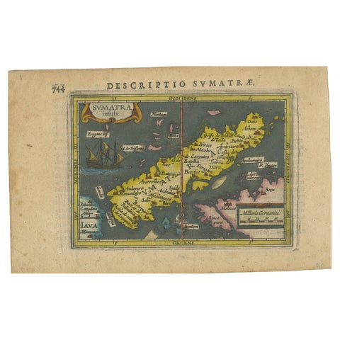
Maps and Sea Charts · Sumatra
1616 Bertius Map of Sumatra, Singapore and the Straits of Malacca
1616 · 19 × 12 cm$940
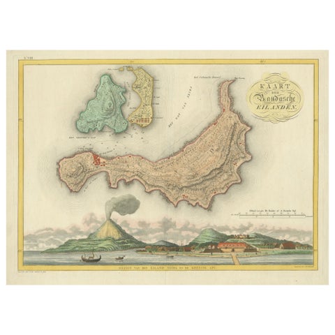
Maps and Sea Charts · Moluccas
Colonial Cartography: The Banda Islands, the Epicenter of the Spice Trade, 1818
1818 · 61.5 × 49.2 cm$940
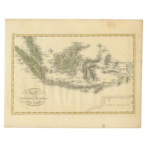
Maps and Sea Charts
Antique Map of the Dutch East Indies by Van den Bosch '1818'
1818 · 58 × 46 cm$935
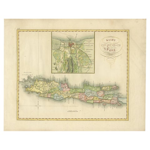
Maps and Sea Charts · Java
Antique Map of Java and Batavia of nowadays Indonesia, '1818'
1818 · 58 × 46 cm$930
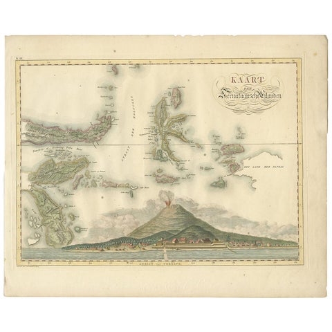
Maps and Sea Charts · Moluccas
Antique Map of the Ternate Islands by Van den Bosch '1818'
1818 · 58 × 46 cm$930
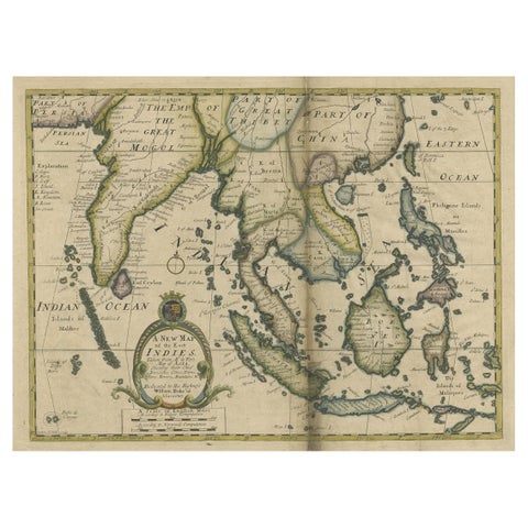
Maps and Sea Charts · Lesser Sunda
Antique Map of Southeast Asia from Persia to the Timor Island, 1712
1712 · 53.5 × 42 cm$885
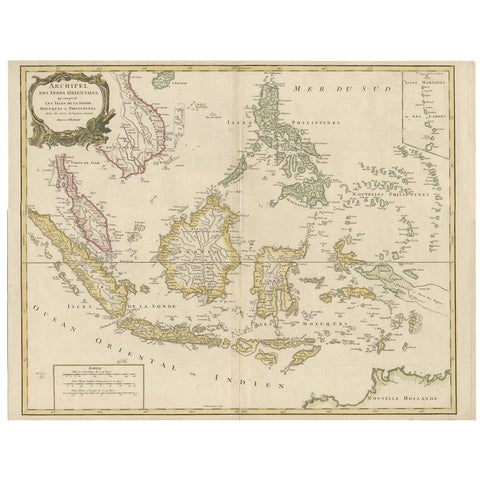
Maps and Sea Charts
Antique Map of the Indonesian and Philippine Archipelagos by R. de Vaugondy
Date not stated · 63.8 × 49.5 cm$870
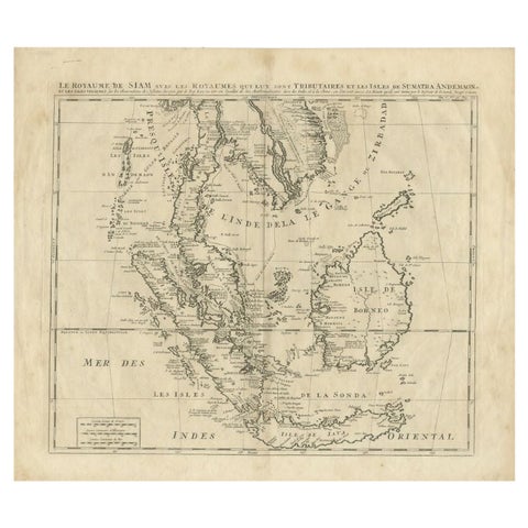
Maps and Sea Charts
Antique Map of Southeast Asia by Chatelain, c.1732
1732 · 51 × 44.5 cm$865
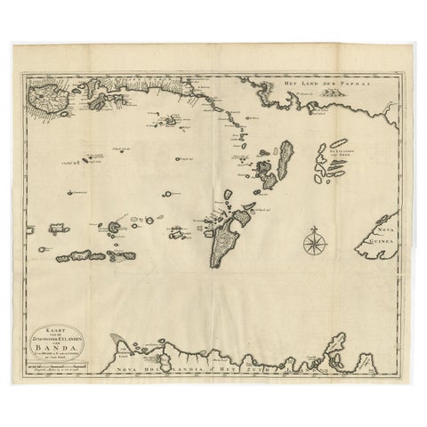
Maps and Sea Charts · Moluccas
Original Antique Map Southeast of the Banda or Spice Islands, Indonesia, 1726
1726 · 59 × 50 cm$860
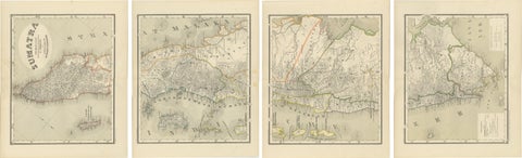
Maps and Sea Charts · Sumatra
An Impressive Four-Sheet Map Set of Sumatra from the Dutch East Indies, 1884
1884 · 39 × 48.5 cm$860
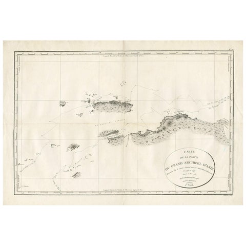
Maps and Sea Charts
Antique Map of Indonesia by C.F. Beautemps-Beaupre, circa 1807
1807 · 84 × 57.5 cm$840

Maps and Sea Charts · Java
Rare Small Map of Sumatra, Java, Borneo, Macassar, Madura, Bali, 1614
1614 · 24 × 18 cm$840
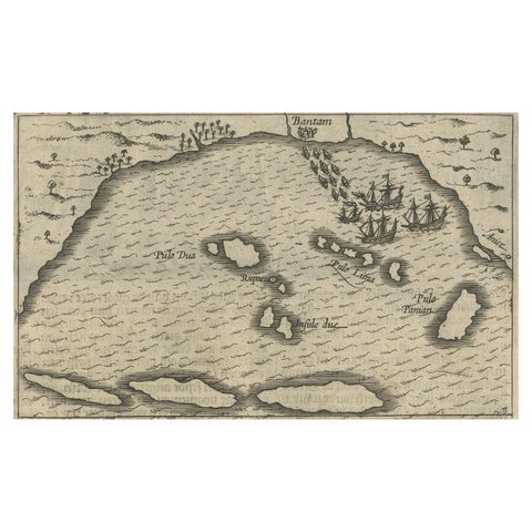
Maps and Sea Charts · Java
Small Map of Bantam with Dutch Ships and an Engraving of Portugese, 1614
1614 · 24 × 18 cm$840
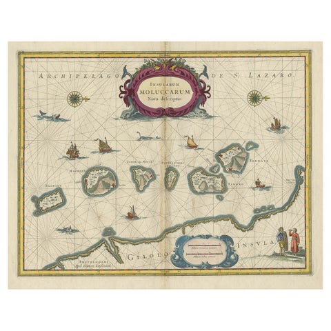
Maps and Sea Charts · Moluccas
Beautiful Antique Map of the Moluccas or Spice Islands, Indonesia, ca.1650
1650 · 57.5 × 53 cm$830
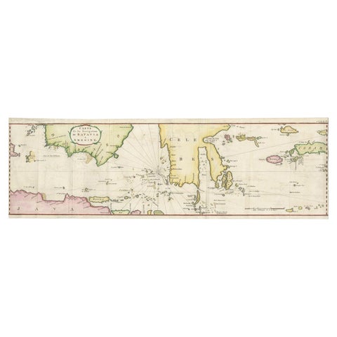
Maps and Sea Charts
Rare Authentic Engraved Map of Large Part of Indonesia by Stavorinus, 1779
1779 · 23 × 74.5 cm$825
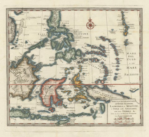
Maps and Sea Charts · Moluccas
Antique Map of the Philippines & Eastern Indonesia: Spice Islands by Tirion 1738
1738 · 48.7 × 37.6 cm$825