Every map and print
53 sheets
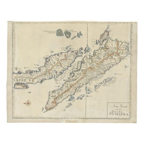
Maps and Sea Charts · Sumatra
Antique Map of Sumatra, Indonesia 'c.1780'
1780 · 63 × 49.5 cm€3,500
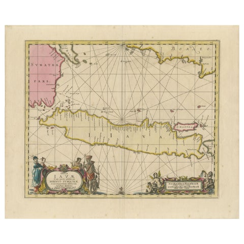
Maps and Sea Charts · Java
Antique Map of Java, Sumatra & Borneo, Dutch East Indies Sea Chart c.1700
1700 · 61.5 × 51.2 cm€2,250
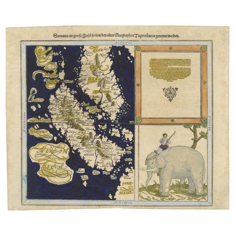
Maps and Sea Charts · Sumatra
Renaissance Mapping of Sumatra: Featuring Singapore in Münster’s Woodcut, c.1590
1590 · 41.5 × 34 cm€1,450
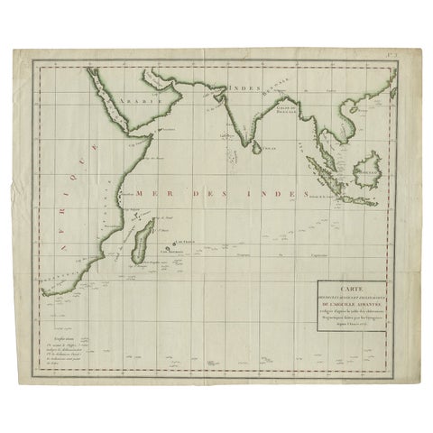
Maps and Sea Charts · Java
Old Map of Indian Ocean & Sumatra, Java, Borneo, India, Arabia, Africa, c.1783
1783 · 64.5 × 53 cm€1,400
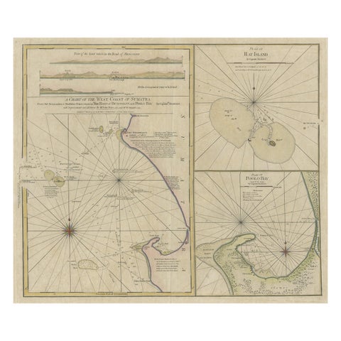
Maps and Sea Charts · Sumatra
Early Chart Identifying British Spice Trading Colony of Bencoolen, Sumatra, 1797
1797 · 71 × 57.5 cm€1,250
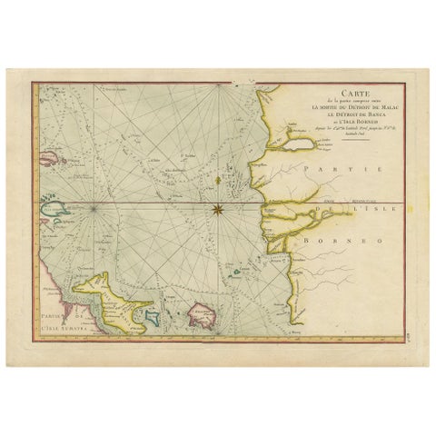
Maps and Sea Charts · Sumatra
Antique Map of the Malacca and Bangka Strait by De Mannevillette '1775'
1775 · 55 × 39.5 cm€1,200
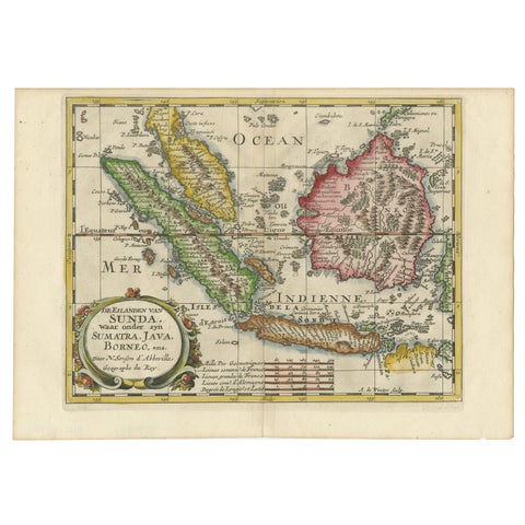
Maps and Sea Charts · Java
Antique Map of the Sunda Islands Including Sumatra, Java, and Borneo, 1705
1705 · 30.2 × 22 cm€860
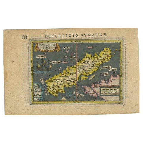
Maps and Sea Charts · Sumatra
1616 Bertius Map of Sumatra, Singapore and the Straits of Malacca
1616 · 19 × 12 cm€840
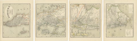
Maps and Sea Charts · Sumatra
An Impressive Four-Sheet Map Set of Sumatra from the Dutch East Indies, 1884
1884 · 39 × 48.5 cm€770

Maps and Sea Charts · Java
Rare Small Map of Sumatra, Java, Borneo, Macassar, Madura, Bali, 1614
1614 · 24 × 18 cm€750
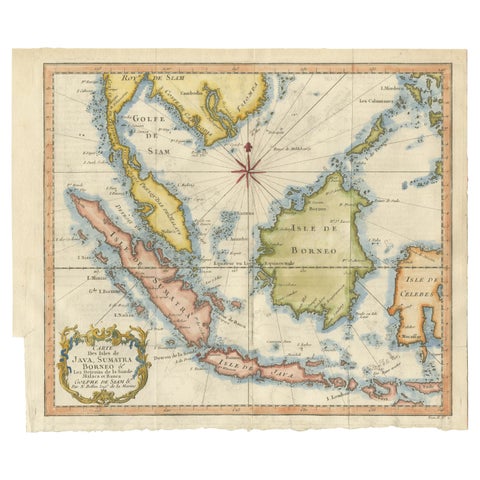
Maps and Sea Charts · Java
Java, Sumatra & Borneo Map, Bellin & van Schley Decorative Chart, 1750s
Date not stated · 32 × 26.5 cm€650
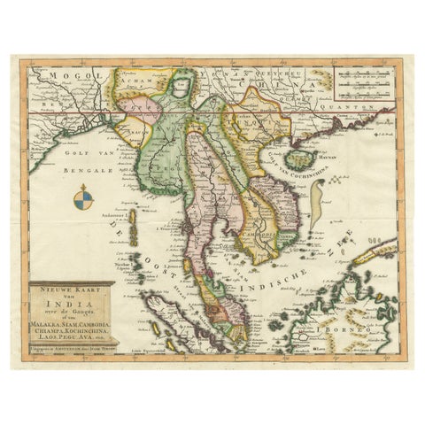
Maps and Sea Charts · Sumatra
Antique Map of Indochina, the Malaysian Peninsula and Northern Sumatra
Date not stated · 45 × 31.2 cm€640
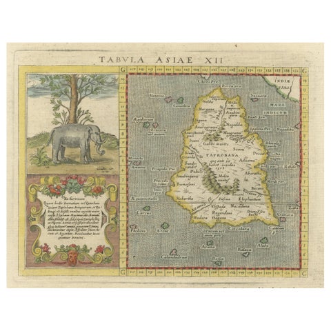
Maps and Sea Charts · Sumatra
1621 Ptolemy & Magini Map of Taprobana (Sumatra) with Elephant Inset
1621 · 19 × 28 cm€620
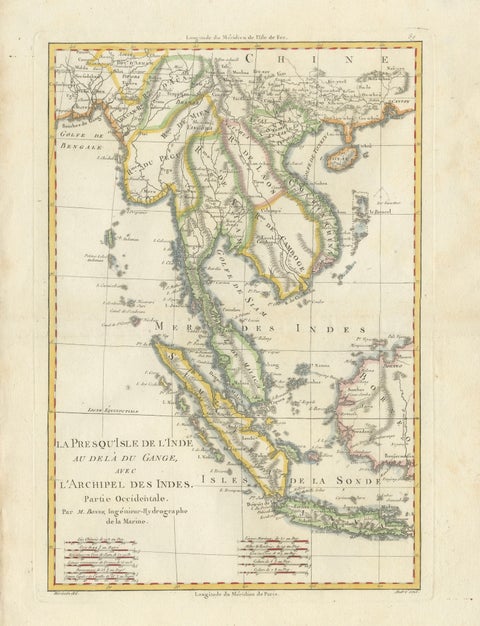
Maps and Sea Charts · Java
Elegant 18th Century Map of Southeast Asia, Siam, Sumatra & Java by Bonne, 1787
1787 · 31.5 × 45 cm€580
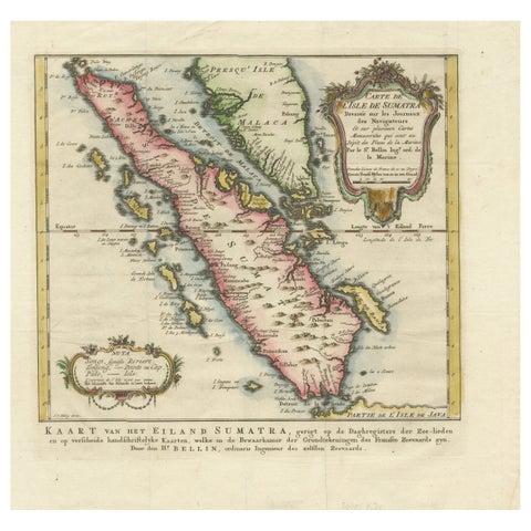
Maps and Sea Charts · Sumatra
Rare 1770 Bellin Map of Sumatra with Stunning Decorative Cartouches
1770 · 34.5 × 33.2 cm€550
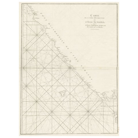
Maps and Sea Charts · Sumatra
Sea Chart of Part of the Southwestern Coast of Sumatra & Nias, Indonesia, C1775
1775 · 55 × 78 cm€540
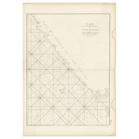
Maps and Sea Charts · Sumatra
Antique Sea Chart of the Coast of Sumatra, Indonesia, circa 1775
1775 · 55 × 78 cm€540
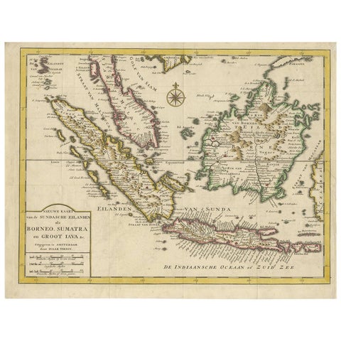
Maps and Sea Charts · Java
Antique Map of the Sunda Islands Sumatra, Java, Malay Peninsula & Borneo (1739)
1739 · 39.5 × 31 cm€539
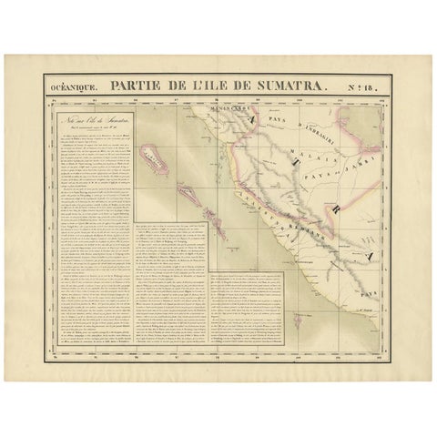
Maps and Sea Charts · Sumatra
Antique Map of West Sumatra by P.M.G. Vandermaelen, 1827
1827 · 69.6 × 53.4 cm€495
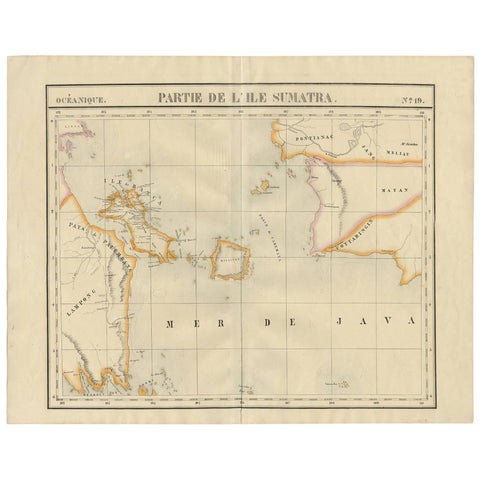
Maps and Sea Charts · Sumatra
Antique Map of South Sumatra by P.M.G. Vandermaelen, 1827
1827 · 67.4 × 53 cm€495
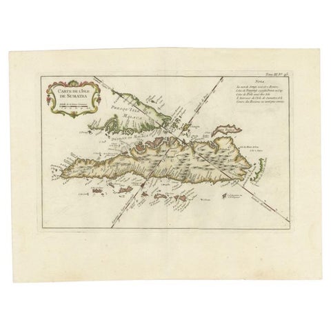
Maps and Sea Charts · Sumatra
Antique Map of Sumatra by Bellin, 1764
1764 · 43.5 × 32.5 cm€485
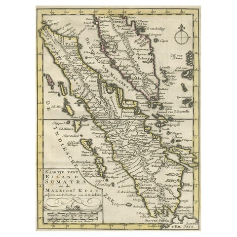
Maps and Sea Charts · Sumatra
Authentic Old Map of Sumatra, Malaysia and Singapore, 1745
1745 · 24 × 17 cm€480
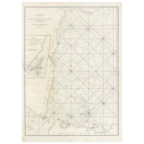
Maps and Sea Charts · Sumatra
Antique Sea Chart by J. B. d'Apres de Mannevillette, Sumatra, 1780
1780 · 53 × 76.7 cm€470
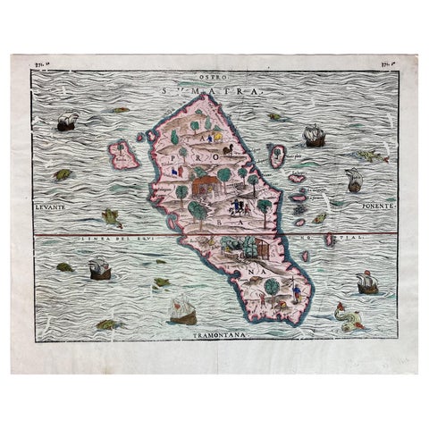
Maps and Sea Charts · Sumatra
1606 Hand-Colored Woodcut Map of Sumatra from Ramusio’s Delle Navigationi
1606 · 41 × 32 cm€460
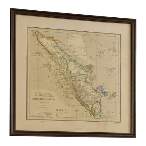
Maps and Sea Charts · Sumatra
Antique Map of Sumatra, Bangka Belitung and Riau in the Dutch East Indies, 1884
1884 · 48.5 × 39 cm€440
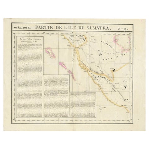
Maps and Sea Charts · Sumatra
Detailed Antique Map of the Western Sumatra, Indonesia, circa 1825
1825 · 67 × 53.5 cm€420
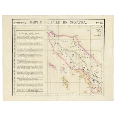
Maps and Sea Charts · Sumatra
Detailed Antique Map of Northern Sumatra, Indonesia, circa 1825
1825 · 68 × 53.5 cm€420
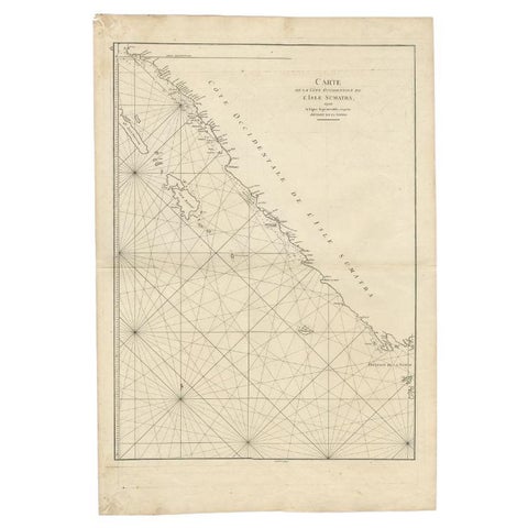
Maps and Sea Charts · Sumatra
Antique Map of the South-Western Coast of Sumatra by De la Haye, c.1780
1780 · 55 × 80 cm€405
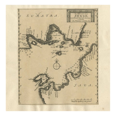
Maps and Sea Charts · Java
Sunda Strait Sea Chart, Sumatra and Java, Dutch Engraving c.1700
1700€380
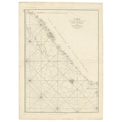
Maps and Sea Charts · Sumatra
Antique Coastal Map of Sumatra by De La Haye, circa 1780
1780 · 55.5 × 76.5 cm€362
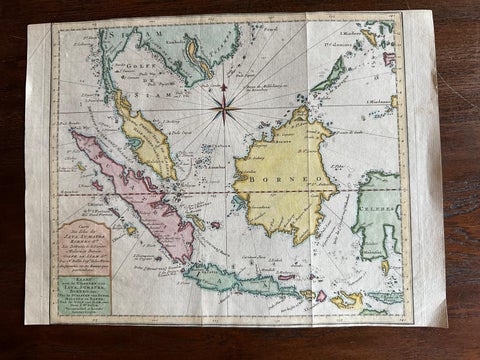
Maps and Sea Charts · Java
Original Map of the East Indies Including Sumatra, Java, Borneo & Malaysia, 1755
1755 · 33 × 24.5 cm€350
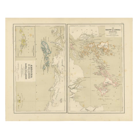
Maps and Sea Charts · Sumatra
Antique Map of Riouw, Lingga Archipelago, Singapore, Banda by Dornseiffen, 1884
1884 · 48.5 × 39 cm€340
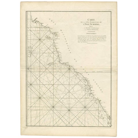
Maps and Sea Charts · Sumatra
1745 Antique Coastal Map of West Sumatra by J. Mannevillette
1745 · 55.5 × 77 cm€332
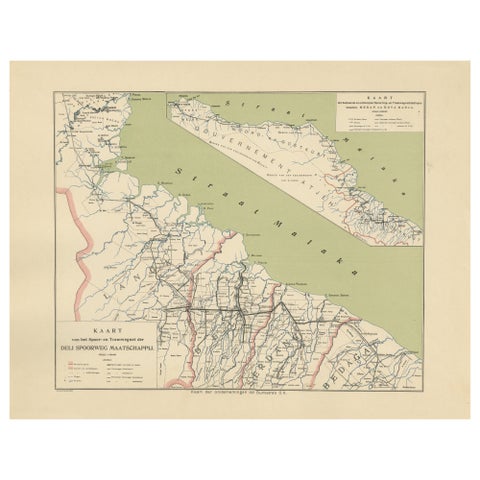
Maps and Sea Charts · Sumatra
Deli Railway System Map, East Sumatra, Deli Spoorweg Maatschappij, c.1910
1910 · 45 × 34 cm€330
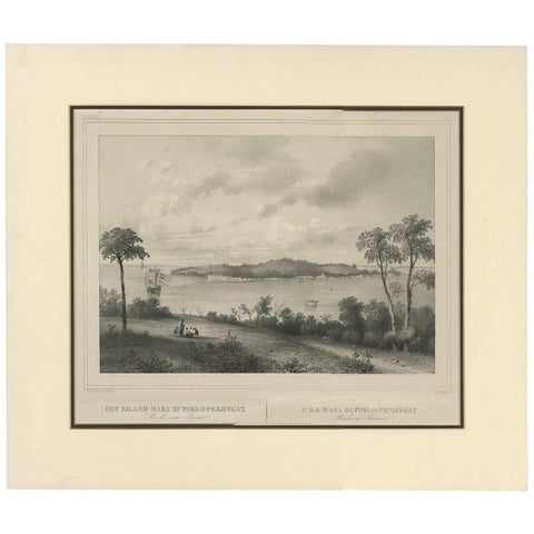
Maps and Sea Charts · Sumatra
Antique Print of the Roadstead of Riau 'Indonesia' by C.W.M. van de Velde, 1844
1844 · 47 × 40 cm€325
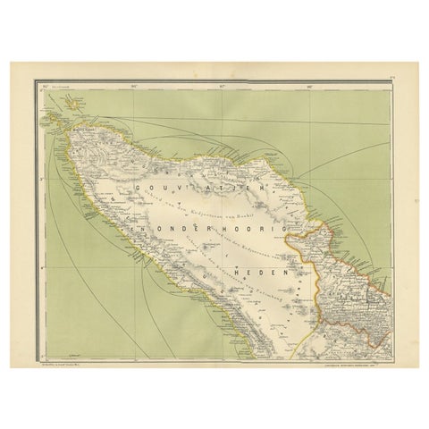
Maps and Sea Charts · Sumatra
Antique Map of Aceh or Adjeh in Northern Sumatra, Indonesia, 1900
1900 · 52.2 × 38.9 cm€290
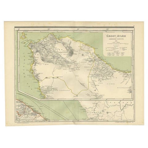
Maps and Sea Charts · Sumatra
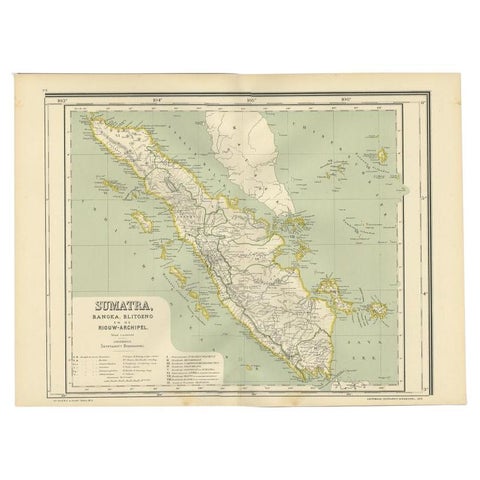
Antique Map of Aceh in Sumatra, Indonesia, 1900
1900 · 52 × 38.9 cm€290
Maps and Sea Charts · Sumatra
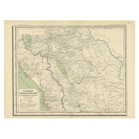
Antique Map of West Sumatra, Indonesia, 1900
1900 · 53.8 × 38.9 cm€290
Maps and Sea Charts · Sumatra
Antique Map of Padang, Sumatra, Indonesia, 1900
1900 · 53 × 38 cm€280
Maps and Sea Charts · Sumatra
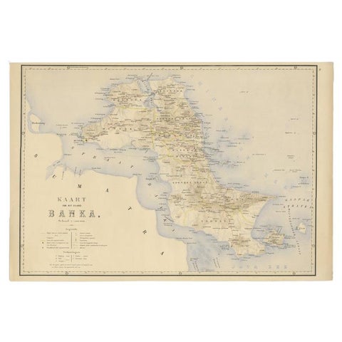
Antique Map of Bangka Island, Indonesia, 1885
1885 · 63 × 48 cm€272
Maps and Sea Charts · Sumatra
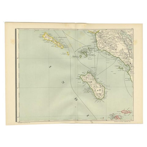
Antique Map of the Nias Archipelago, Sumatra, Indonsia, 1900
1900 · 52.6 × 38.9 cm€240
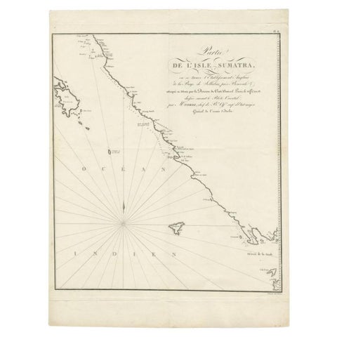
Maps and Sea Charts · Sumatra
Antique Map of Sumatra by Tardieu, 1811
1811 · 40.5 × 53 cm€235
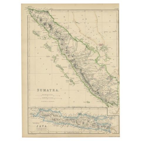
Maps and Sea Charts · Sumatra
Antique Map of Sumatra by W. G. Blackie, 1859
1859 · 27 × 37 cm€200
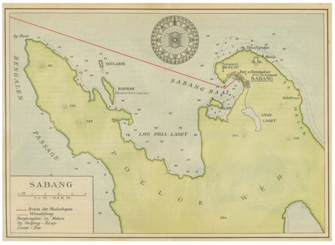
Maps and Sea Charts · Sumatra
Sabang Bay & Pulau Weh, Antique Dutch Colonial Map of Sumatra, Indonesia, 1910
1910 · 24.7 × 17.9 cm€190
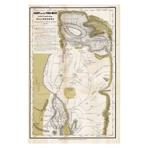
Maps and Sea Charts · Sumatra
Scarce Antique Map of Lake Toba and Silindoeng on Sumatra, Indonesia, c.1875
1875 · 80 × 50 cm€166
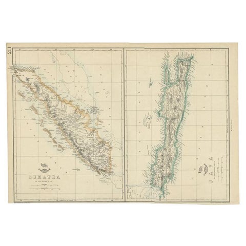
Maps and Sea Charts · Java
Antique Map of Sumatra and Java by Weller, c.1860
1860 · 47 × 32.5 cm€133
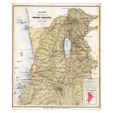
Maps and Sea Charts · Sumatra
Antique Map of Part of Sumatra by Stemler, c.1875
1875 · 45 × 56 cm€123
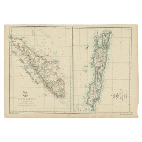
Maps and Sea Charts · Java
Antique Map of Sumatra and Java by Weller, c.1860
1860 · 48.5 × 34 cm€123