By island · Iava
Java
Java and Madura: Batavia (now Jakarta), Banten, Semarang, Surabaya and Buitenzorg, the volcanoes of the Tengger and the sugar and coffee country of the interior.
89 sheets
Maps and Sea Charts · Java
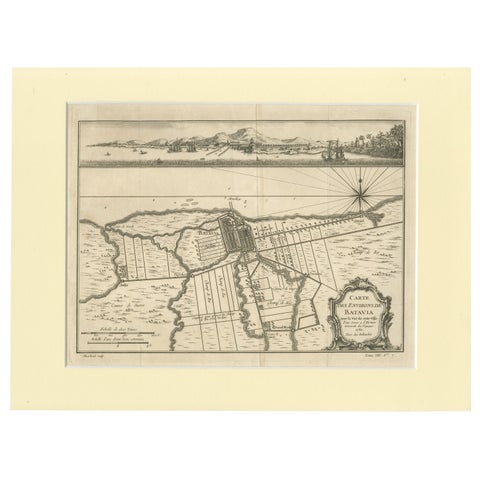
Old Engraving of Batavia 'Jakarta, Indonesia' with Map and Harbour View, 1750
1750 · 40 × 30 cm$615
Maps and Sea Charts · Java
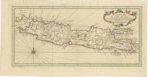
Antique Map of Java Indonesia, VOC Period, Decorative Cartouche, c.1750
1750 · 48.5 × 25.6 cm$615
Maps and Sea Charts · Java
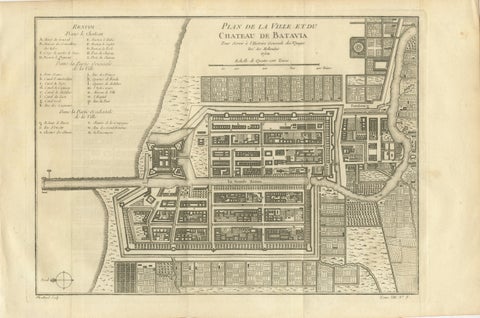
Antique Map of Batavia Jakarta Indonesia, Dutch East Indies, c.1750
1750 · 37.8 × 25 cm$610
Maps and Sea Charts · Java
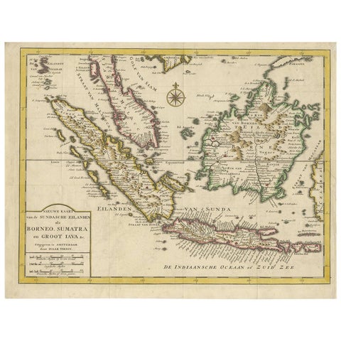
Antique Map of the Sunda Islands Sumatra, Java, Malay Peninsula & Borneo (1739)
1739 · 39.5 × 31 cm$605
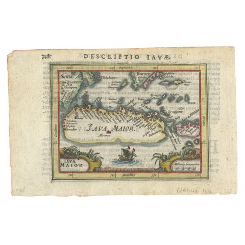
Maps and Sea Charts · Java
Rare 16th Century Original Handcolored Miniature Map of Java, Indonesia, 1616
1616 · 19 × 12.5 cm$550
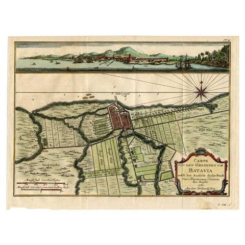
Maps and Sea Charts · Java
Antique Map of Batavia, Capital of The Dutch East Indies at the Time, 1751
1751 · 32 × 24.5 cm$505
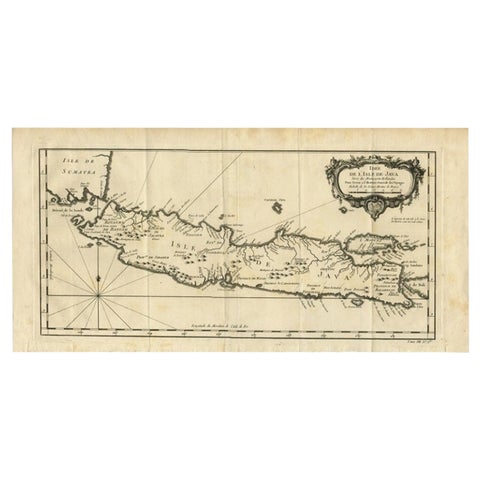
Maps and Sea Charts · Java
Antique Map of Java and Madura Island, Indonesia, c.1760
1760 · 24.5 × 50 cm$505
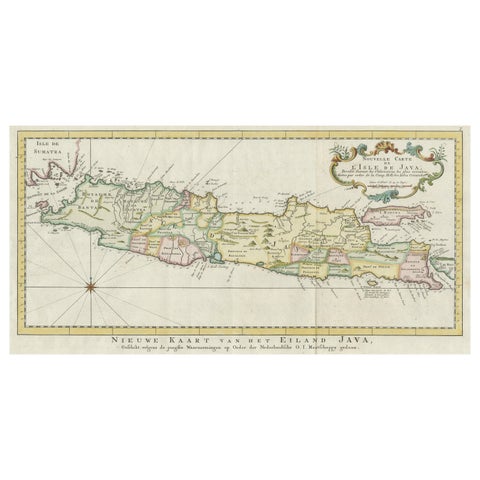
Maps and Sea Charts · Java
Antique Map of the Island of Java, Indonesia
Date not stated · 47.5 × 26 cm$505
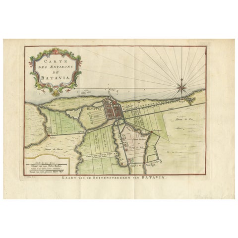
Maps and Sea Charts · Java
Map of Batavia’s Surroundings with Early Reference to Jakarta, Indonesia, c.1770
1770 · 35.7 × 25.2 cm$490
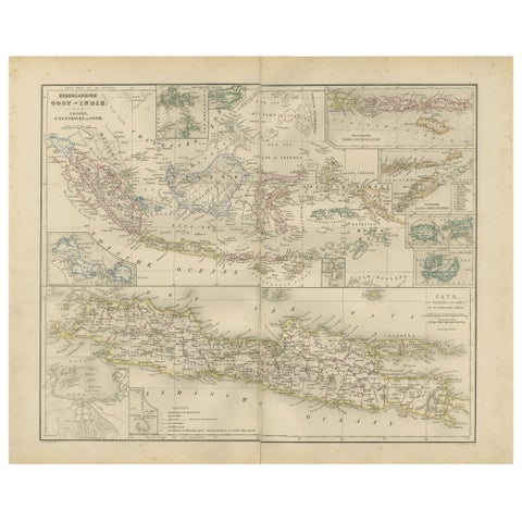
Maps and Sea Charts · Java
Netherlands East Indies Map with Java Inset, Nieuwe Hand-Atlas, 1876
1876 · 55 × 44 cm$460
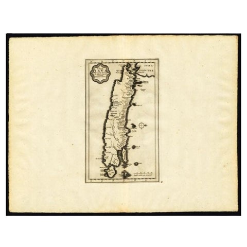
Maps and Sea Charts · Java
Antique Map of the Island of Java by Van Der Aa, 1725
1725 · 49 × 38 cm$440
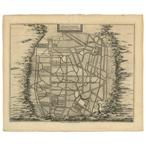
Maps and Sea Charts · Java
Antique Map of the City of Materan 'Indonesia' by P. van der Aa, circa 1725
1725 · 40.2 × 33 cm$440
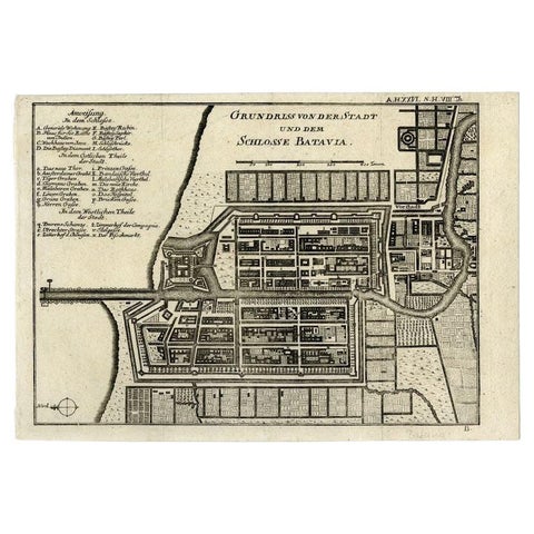
Maps and Sea Charts · Java
Antique Plan of Batavia and the Castle in the Dutch East Indies, 1763
1763 · 33 × 22.9 cm$435
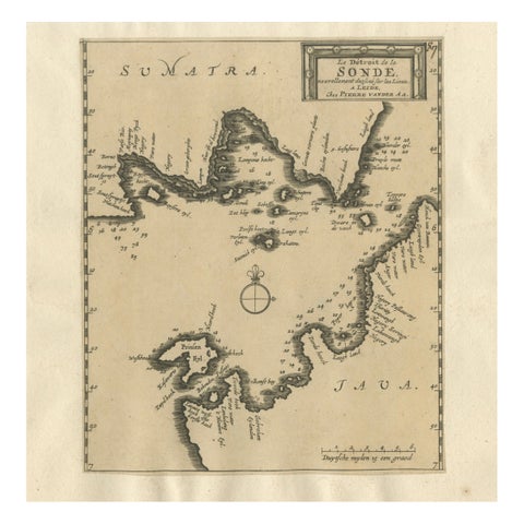
Maps and Sea Charts · Java
Sunda Strait Sea Chart, Sumatra and Java, Dutch Engraving c.1700
1700$425
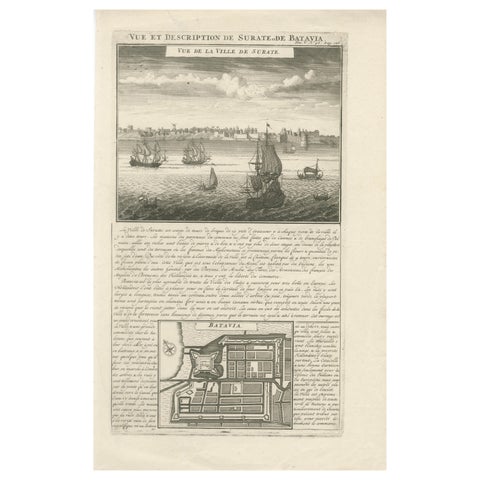
Maps and Sea Charts · Java
Antique View of Surat & Plan of Batavia, VOC India & Indonesia, Chatelain, 1719
1719 · 28 × 44 cm$425
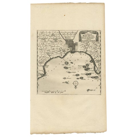
Maps and Sea Charts · Java
Antique Map of Batavia, Jakarta, Indonesia by P. Van Der Aa, 1719
1719 · 19 × 33 cm$410
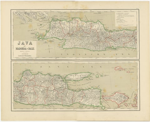
Maps and Sea Charts · Java
Old Map of Java, Madura & Bali, Dutch East Indies Colonial Cartography, 1884
1884 · 48.5 × 39 cm$405
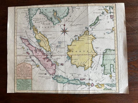
Maps and Sea Charts · Java
Original Map of the East Indies Including Sumatra, Java, Borneo & Malaysia, 1755
1755 · 33 × 24.5 cm$390
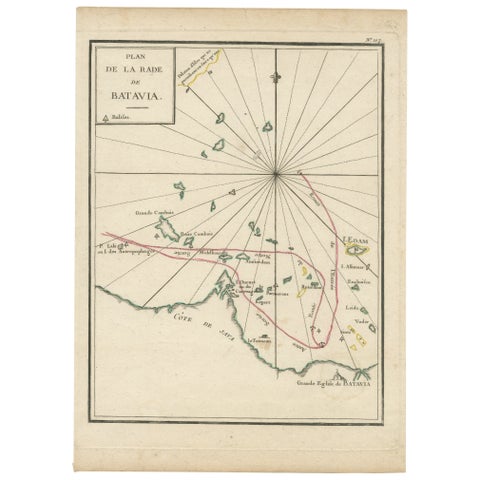
Maps and Sea Charts · Java
Interesting Map of the Thousand Islands in the Bay of Batavia 'Jakarta', ca.1740
1740 · 21 × 29 cm$380
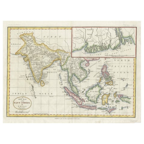
Maps and Sea Charts · Java
1782 Map of the East Indies, India, Siam, Philippines, Java, Borneo, Ganges
1782 · 34.5 × 26 cm$370
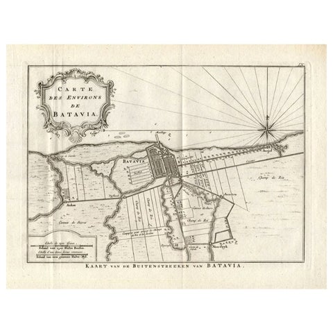
Maps and Sea Charts · Java
Antique Map of the Region of Batavia by Conrade, 1782
1782 · 44 × 27.5 cm$355
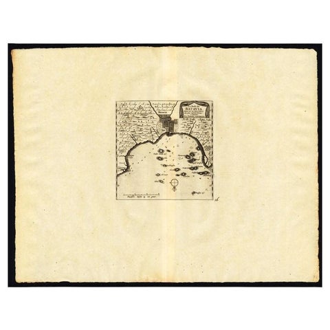
Maps and Sea Charts · Java
Antique Map of the Roadstead of Batavia by Van der Aa, 1725
1725 · 49 × 38 cm$345
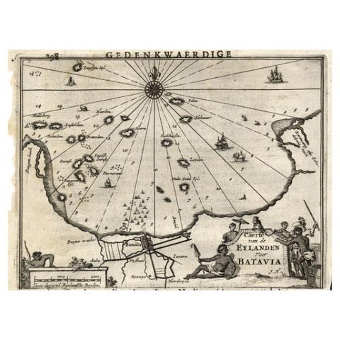
Maps and Sea Charts · Java
Antique Map of the Islands Near Batavia, Capital of the Dutch East Indies, 1682
1682 · 19 × 30 cm$340
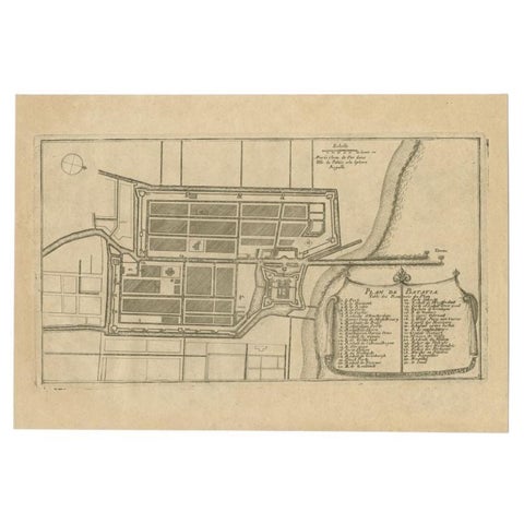
Maps and Sea Charts · Java
Antique Plan of Batavia in the Dutch East Indies or Indonesia, circa 1695
1695 · 32.5 × 22 cm$325
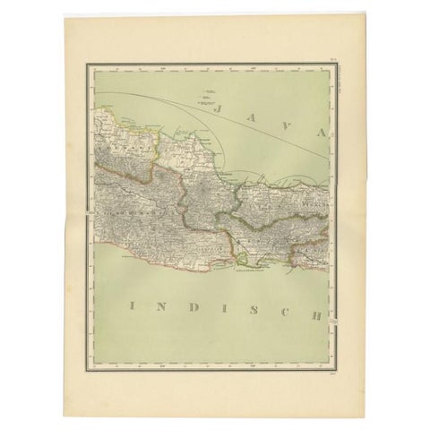
Maps and Sea Charts · Java
Antique Map of Part of Java, Indonesia, 1900
1900 · 38.9 × 51.7 cm$325
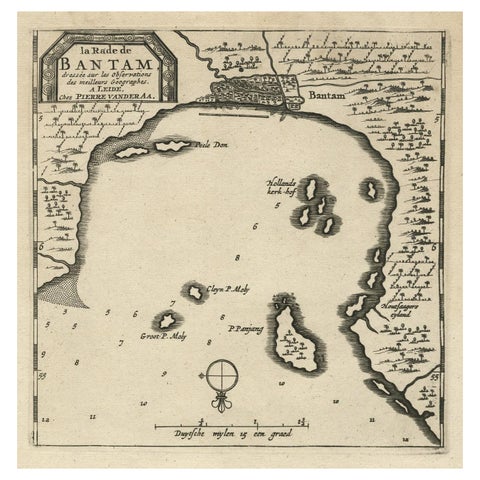
Maps and Sea Charts · Java
Antique Map of Banten Bay on Java Island, Indonesia, c.1720
1720 · 19.4 × 30.3 cm$305
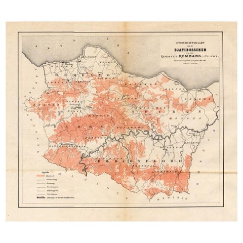
Maps and Sea Charts · Java
Antique Map of the Djati 'teak wood' Forest Near Rembang, Java by Stemler, 1875
1875 · 40 × 34.5 cm$300
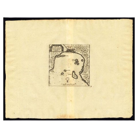
Maps and Sea Charts · Java
Antique Map of the Roadstead of Bantam by Van der Aa, 1725
1725 · 49 × 38 cm$295
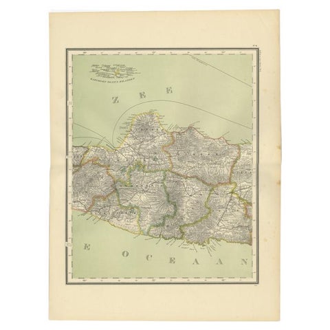
Maps and Sea Charts · Java
Antique Map of Central Java Depicting The Karimun Islands, Indonesia, 1900
1900 · 38.9 × 52.1 cm$290
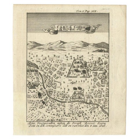
Maps and Sea Charts · Java
Antique Map of Carta Soura, Headquarter of the Javanese Nobility, 1706
1706 · 17 × 19.6 cm$280
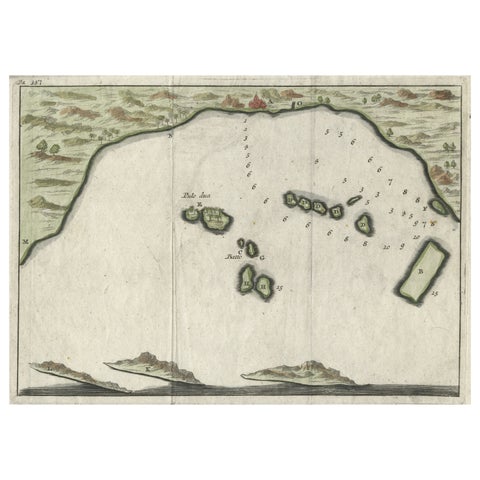
Maps and Sea Charts · Java
Small Early 18th Century Map of Banten Bay on the Island Java, Indonesia, c.1725
1725 · 21.8 × 16 cm$245
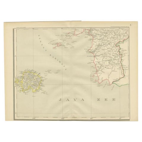
Maps and Sea Charts · Java
Antique Map of the Java Sea by Dornseiffen, 1900
1900 · 52.4 × 38.6 cm$215
Maps and Sea Charts · Java
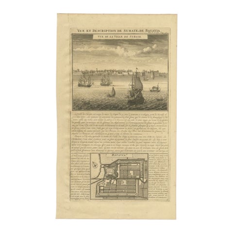
Antique Print of Surate and a Plan of Batavia in the Dutch East Indies, 1719
1719 · 26 × 44 cm$195
Maps and Sea Charts · Java
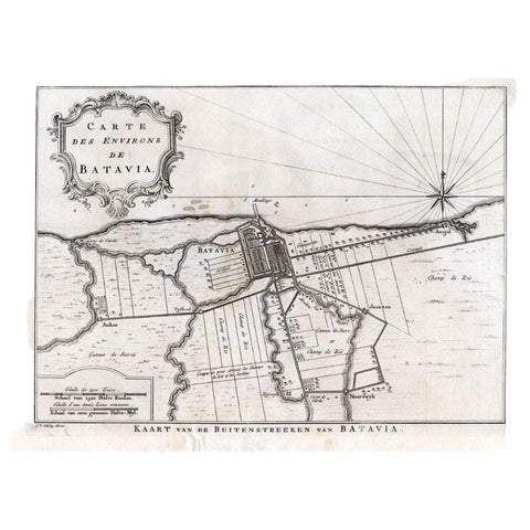
Antique Map of the Region of Batavia by Van Schley, c.1750
1750 · 33 × 27.5 cm$190
Maps and Sea Charts · Java
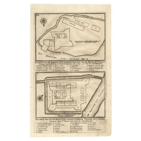
Antique Map of the Fortifications of Demak and Jepara by Valentijn, 1726
1726 · 20.4 × 33.4 cm$175
Maps and Sea Charts · Java
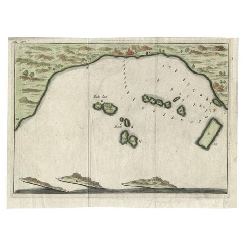
Antique Map of Banten Bay, Java, Indonesia, c.1725
1725 · 21.8 × 16 cm$170
Maps and Sea Charts · Java
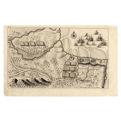
Antique Map of the Region of Pasuruan, Java, Indonesia, 1726
1726 · 33.2 × 20.6 cm$170
Maps and Sea Charts · Java
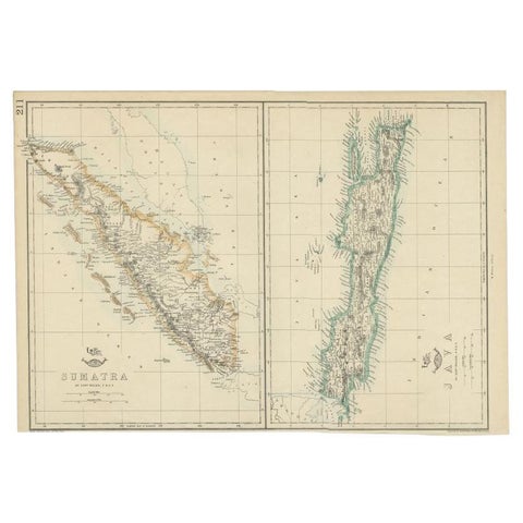
Antique Map of Sumatra and Java by Weller, c.1860
1860 · 47 × 32.5 cm$150
Maps and Sea Charts · Java
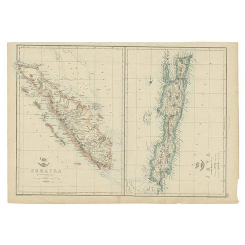
Antique Map of Sumatra and Java by Weller, c.1860
1860 · 48.5 × 34 cm$140
Maps and Sea Charts · Java
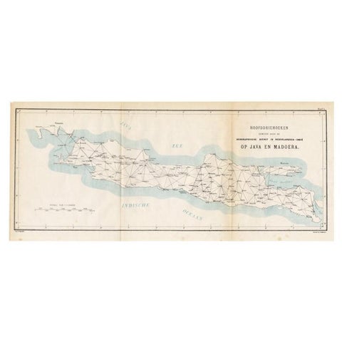
Old Map of Java, Indonesia by Stemler, 1875
1875 · 59 × 27.5 cm$80
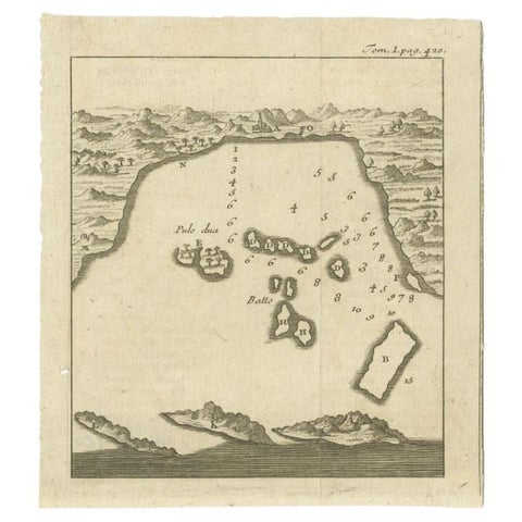
Maps and Sea Charts · Java
Antique Map of the Bay of Bantam, c.1720
1720 · 14.3 × 16 cm$65