Close-ups
Framed and on the wall


Frame and rooms are illustrations of how the print could look, drawn to its real size; it is sold unframed unless the description says otherwise.
Maps and Sea Charts
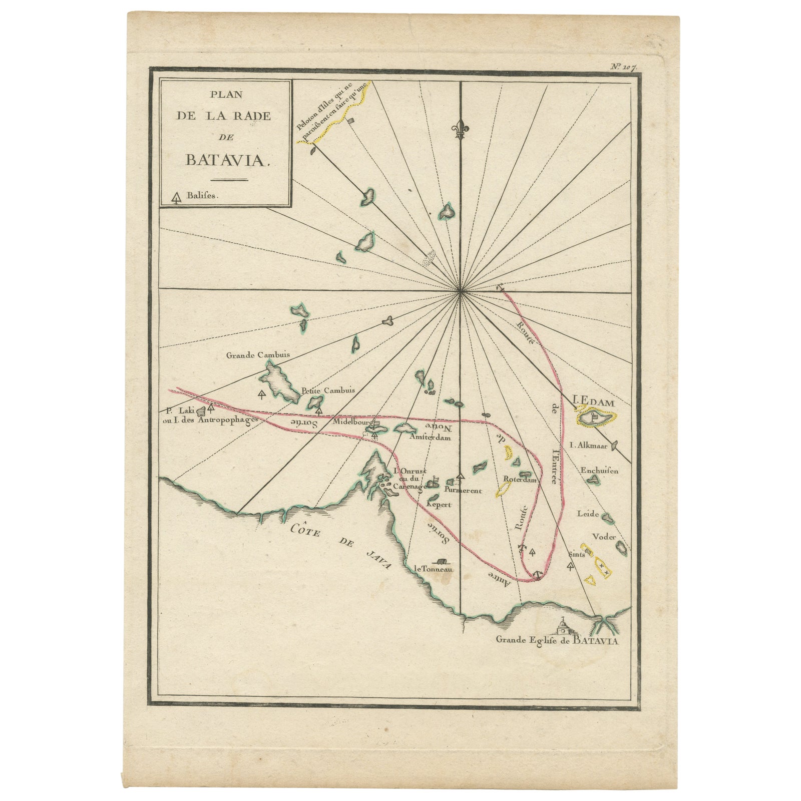
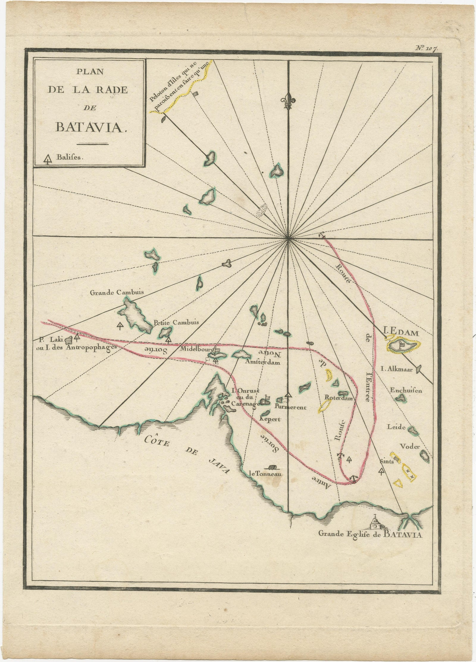
Interesting Map of the Thousand Islands in the Bay of Batavia 'Jakarta', ca.1740
Batavia is now Jakarta.
$380
€340 · £285
Original print, not a reproduction
Ships worldwide from the Netherlands, insured and tracked. 14-day returns.
- Date
- 1740
- Sheet size
- 11.4 × 8.3 in (29 × 21 cm)
- Technique
- Engraved
- Condition
- Good. Very good with a few light brown stains. Study the image carefully.
- Island
- Java
- Place names
- Batavia is now Jakarta
- Collection
- Maps and Sea Charts
- Period
- The Company, 1700 to 1799
- Stock no.
- f_29564242
What the condition grades mean
- Excellent
- Bright and clean, with no faults worth mentioning.
- Very good
- Only light signs of age, such as faint toning.
- Good
- Normal signs of age for a sheet of this period: toning, some foxing, small marks or neat old repairs.
- Fair
- Clear faults such as staining, tears or repairs, priced to match.
Every fault we see is written in the condition note, and the whole sheet is shown uncropped in the photos.
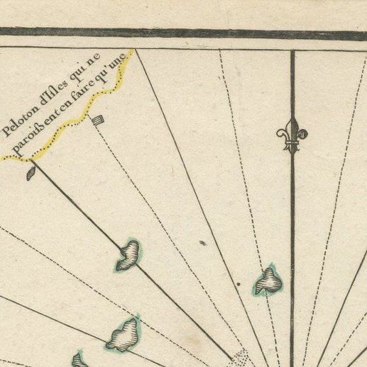
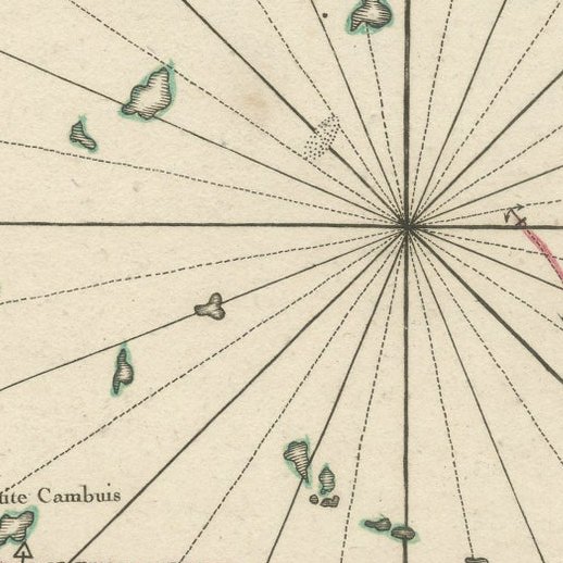
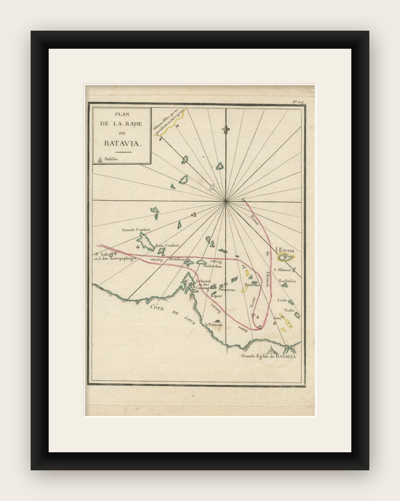
A single unfolded page border colored engraved map, printed no. 107 in top corner. This same map is found as plate 107 in Atlas Universelle aus dem Jahre 1787 by Philippe de Pretot but this is a larger version from an unknown publication. There are also copies of this map in Le Petit Atlas maritime recueil de cartes et plans des quatre parties du Monde. Paris: Bellin, 1764, but again they are smaller. Map in near fine condition, escept for a few light stained spots. .
It shows the island region in the bay of nowadays Jakarta, the capital in Indonesia on the island of Java. When these islands where under control of the Dutch, many were named after Dutch cities, like Edam Island, Alkmaar Island, Purmerent, Middelburg. The island Onrust (pulau Onrust) was known as an excellent hub to repair large ships. According to Captain Cook it was on of the best places in the world to repair ships. The island is still a very popular destination for tourists.
Explore