By island · Iava
Java
Java and Madura: Batavia (now Jakarta), Banten, Semarang, Surabaya and Buitenzorg, the volcanoes of the Tengger and the sugar and coffee country of the interior.
376 sheets
Maps and Sea Charts · Java
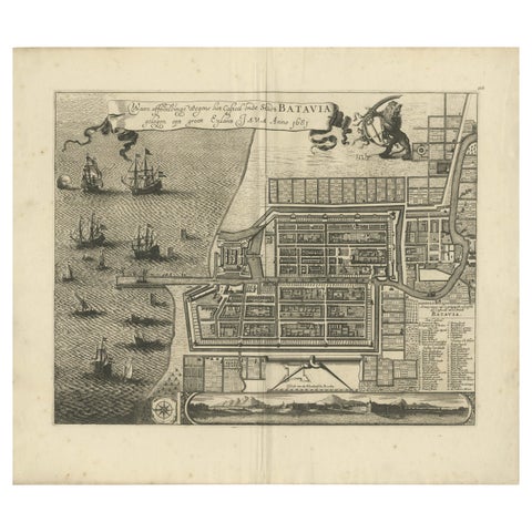
Rare 1681 Map of Batavia: Detailed Dutch Colonial Era Cartography, 1681
1681 · 62 × 53.5 cm€5,900
Towns and Landscapes · Java
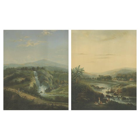
Java Landscapes, Rare Pair of Deluxe Folio Chromolithographs by Salm, 1865-72
1865 · 68.5 × 84.3 cm€5,270
Maps and Sea Charts · Java
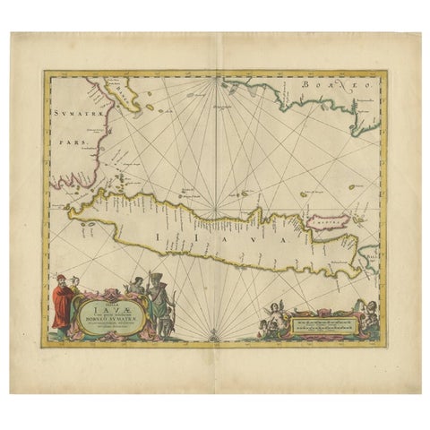
Antique Map of the Island Java, Indonesia, c.1650
1650 · 54 × 61.5 cm€3,250
Maps and Sea Charts · Java
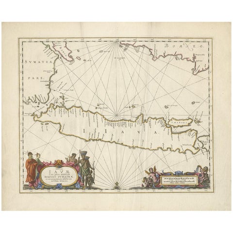
Antique Map of Java by Janssonius, circa 1650
1650 · 62 × 51.5 cm€2,950
Maps and Sea Charts · Java
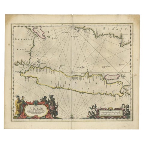
Antique Map of Java and Part of Borneo, Indonesia, c.1657
1657 · 49.5 × 58 cm€2,750
Maps and Sea Charts · Java
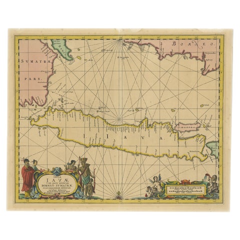
Antique Map of Java in The Dutch East Indies, Now Indonesia, c.1690
1690 · 46 × 55 cm€2,750
Towns and Landscapes · Java
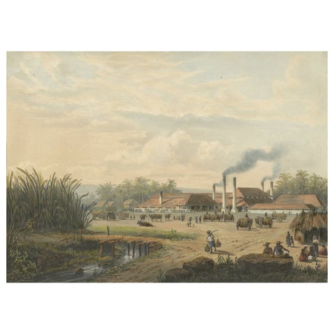
Original Chromolithograph of a Sugar Factory in Java, Indonesia, 1872
1872 · 36 × 26.4 cm€2,750
Towns and Landscapes · Java
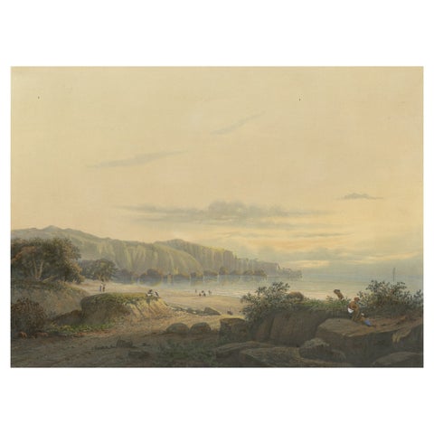
Original Antique Chromolithograh of Srigonjo Bay, the South Coast of Java, 1872
1872 · 36 × 26.4 cm€2,750
Maps and Sea Charts · Java
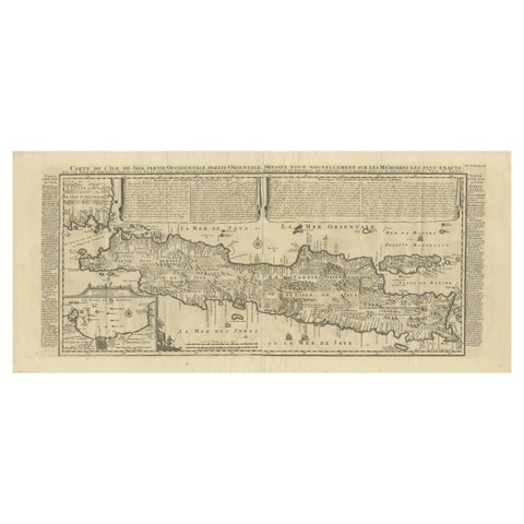
Antique Map of Java by Henri Chatelain, Decorative Print, 1718, France
1718 · 44 × 98 cm€2,650
Maps and Sea Charts · Java
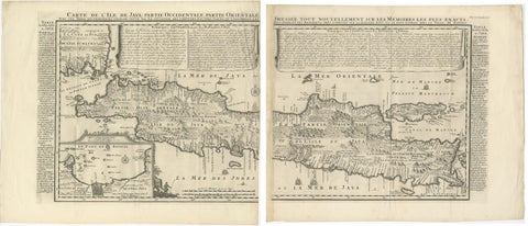
Antique Map of Java 'Indonesia' by Chatelain, 1719
1719 · 103.5 × 89 cm€2,500
Maps and Sea Charts · Java
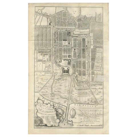
Antique Plan of Batavia by Van Krevelt, circa 1780
1780 · 45 × 69 cm€2,500
Maps and Sea Charts · Java
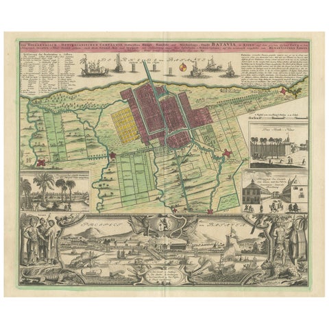
Antique Map and Views of Batavia by Homann Heirs, '1733'
1733 · 61 × 51 cm€2,500
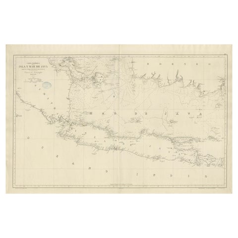
Maps and Sea Charts · Java
Large Chart of the island and sea of Java, Indonesia
1863 · 103 × 69.2 cm€2,500
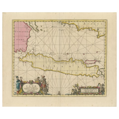
Maps and Sea Charts · Java
Antique Map of Java, Sumatra & Borneo, Dutch East Indies Sea Chart c.1700
1700 · 61.5 × 51.2 cm€2,250
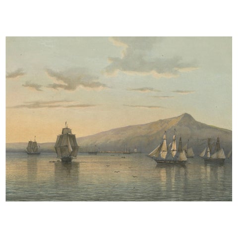
Towns and Landscapes · Java
View of Anjer near the Krakatoa Volcano, Sunda Strait, Java Lithograph, 1872
1872 · 37 × 26 cm€1,950
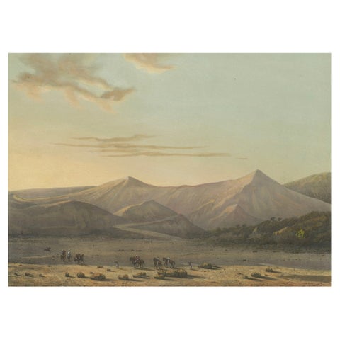
Towns and Landscapes · Java
Mount Bromo Volcano Erupting in 1856, East Java Lithograph, Published 1872
1856 · 37 × 26 cm€1,950
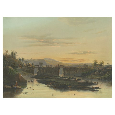
Towns and Landscapes · Java
Brantas River as a Mountain Stream, East Java Landscape Lithograph, 1872
1872 · 37 × 26 cm€1,950
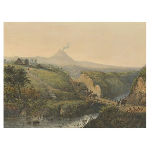
Towns and Landscapes · Java
Landscape near Probolinggo with Smoking Volcano, Java Lithograph, c.1872
1872 · 37 × 26 cm€1,950
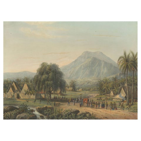
Towns and Landscapes · Java
Wedding Procession in the Salak Valley, Puncak, Java Cultural Lithograph, 1872
1872 · 37 × 26 cm€1,950
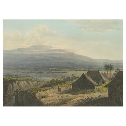
Towns and Landscapes · Java
Highland Landscape in the Bantam Residency, Java Lithograph, Published 1872
1872 · 37 × 26 cm€1,950
Towns and Landscapes · Java
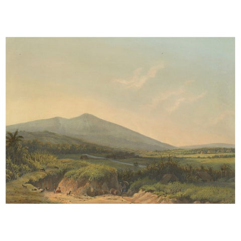
Mountain Landscape near Kedong Badak, Rare Java Lithograph from 1872
1872 · 37 × 26 cm€1,950
Towns and Landscapes · Java
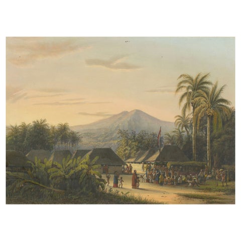
Vibrant Colonial Era Java Print: Festival near Mount Ardjoeno, ca. 1872
1872 · 37 × 26 cm€1,950
Towns and Landscapes · Java
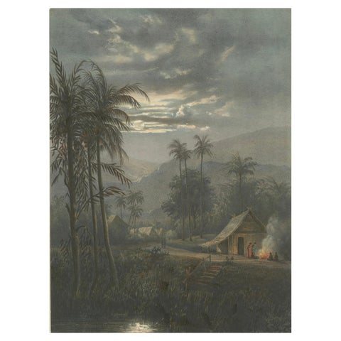
Moonlit Landscape near Sumedang, West Java, Rare Java Lithograph, 1872
1872 · 26 × 37 cm€1,950
Towns and Landscapes · Java
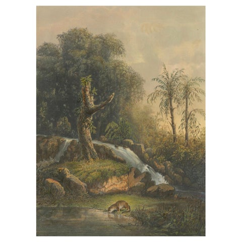
Wild Landscape with Waterfall and Jungle Life, Java Lithograph, Published 1872
1872 · 26 × 37 cm€1,950
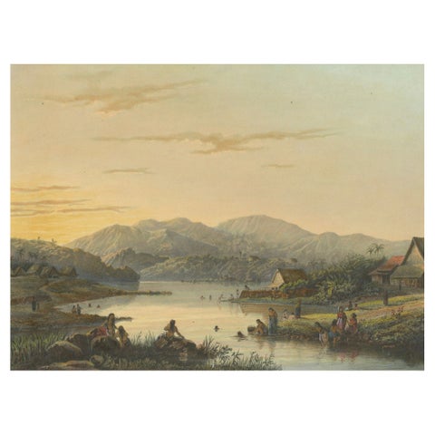
Towns and Landscapes · Java
The Bathing Place of Wendit, East Java, Tranquil Java Lithograph, c.1872
1872 · 37 × 26 cm€1,950
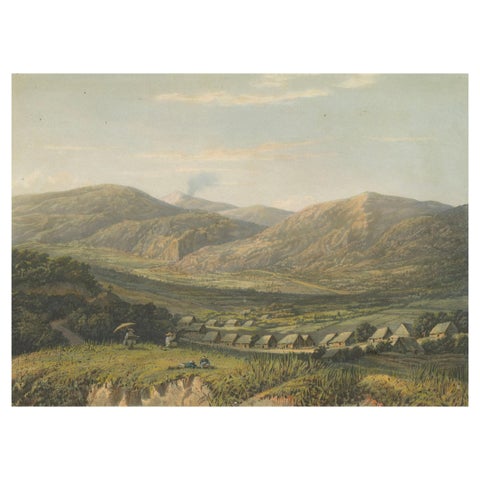
Towns and Landscapes · Java
View of the Tengger Mountains, East Java, Rare Java Landscape Lithograph, 1872
1872 · 37 × 26 cm€1,950
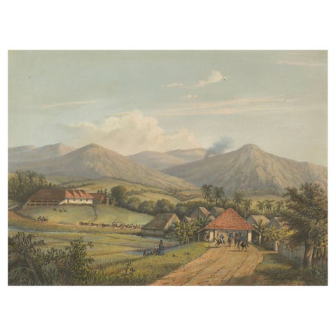
Towns and Landscapes · Java
Java’s Kawis Mountains and Tobacco Estate near Malang, Antique Lithograph, 1872
1872 · 37 × 26 cm€1,950
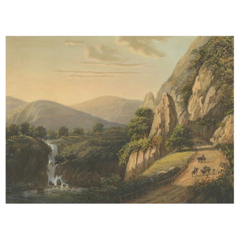
Towns and Landscapes · Java
Mountain Road and Waterfall in the Tengger Range, Java Lithograph, circa 1872
1872 · 37 × 26 cm€1,950
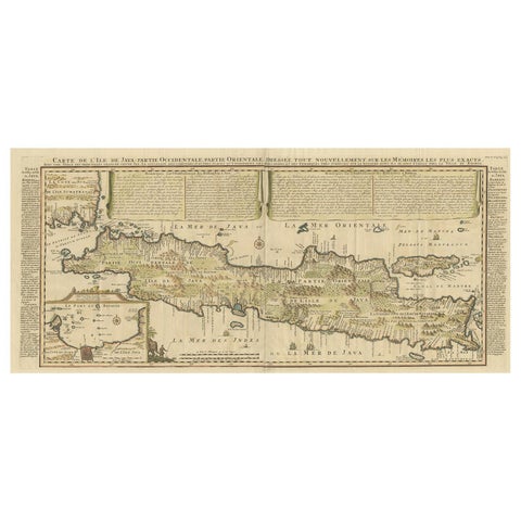
Maps and Sea Charts · Java
Antique French Map of Java, Indonesia by Chatelain, '1719'
1719 · 93.5 × 44.5 cm€1,914
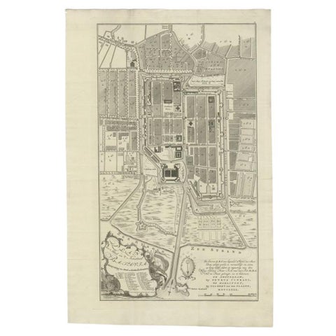
Maps and Sea Charts · Java
Antique Plan of Batavia, Nowadays Jakarta, Indonesia, 1780
1780 · 47 × 73 cm€1,848
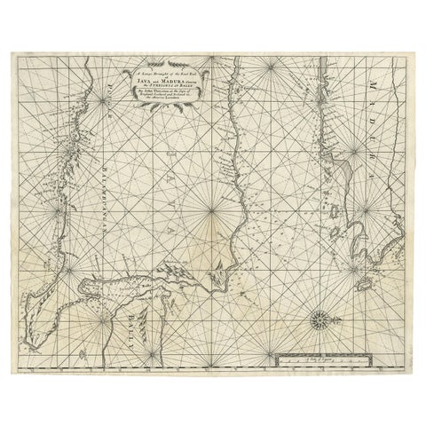
Maps and Sea Charts · Java
Rare Old English Sea Chart of Part of Indonesia with Java, Madura and Bali, 1711
1711 · 55.3 × 45 cm€1,650
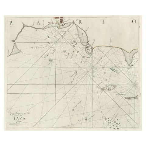
Maps and Sea Charts · Java
Two Antique Sea Charts of the Thousand Islands between Batavia and Bantam, c1734
1734 · 126 × 51 cm€1,650
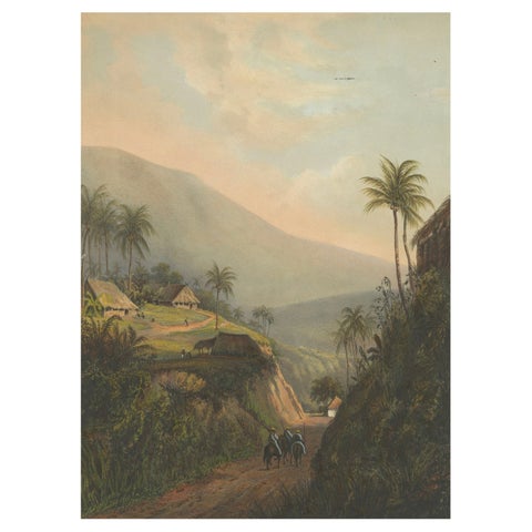
Towns and Landscapes · Java
Mountain Road to the Salak Valley, Java, Colonial Landscape Lithograph, 1872
1872 · 26 × 37 cm€1,650
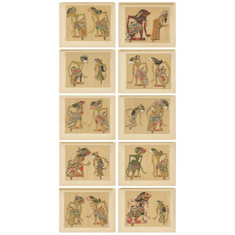
Peoples and Costume · Java
Set of 10 Antique Prints of Wayang Puppets by Juynboll, 1900
1900 · 32 × 25 cm€1,500
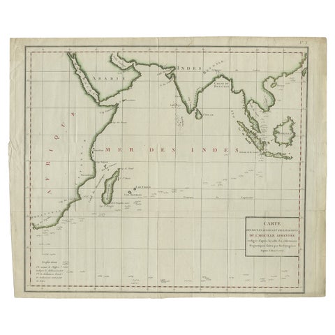
Maps and Sea Charts · Java
Old Map of Indian Ocean & Sumatra, Java, Borneo, India, Arabia, Africa, c.1783
1783 · 64.5 × 53 cm€1,400
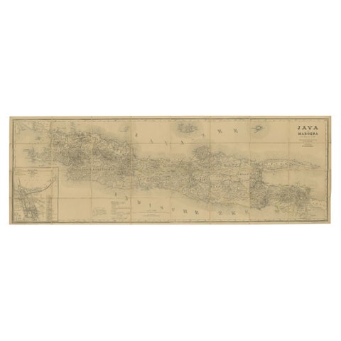
Maps and Sea Charts · Java
Large Antique Map of Java & Madura with Batavia Inset, c.1870s Dutch East Indies
Date not stated · 124 × 42 cm€1,400
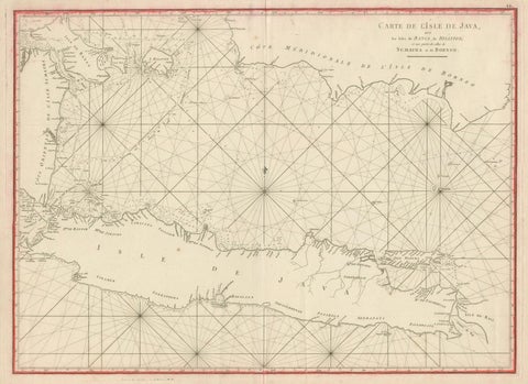
Maps and Sea Charts · Java
Antique Sea Chart Java Indonesia, Mannevillette Neptune Oriental 1775
1775 · 74 × 53.8 cm€1,400
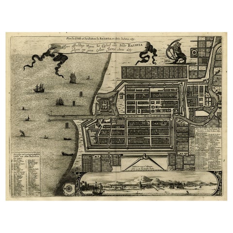
Maps and Sea Charts · Java
Antique Map of Batavia, Dutch East Indies, Nowadays Jakarta, Indonesia, ca.1669
1669 · 37.5 × 32.2 cm€1,350
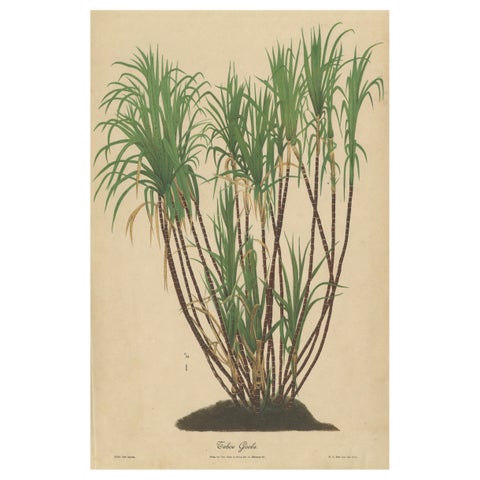
Flora and Fauna · Java
Antique Sugarcane Chromolithograph, Teboe Goela Java, Meyn after Soltwedel 1892
1892 · 40 × 60 cm€1,350
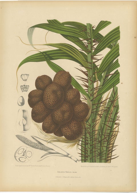
Flora and Fauna · Java
Antique Salak Palm Botanical Chromolithograph by Hoola van Nooten, c. 1880
1880 · 40 × 55.5 cm€1,290
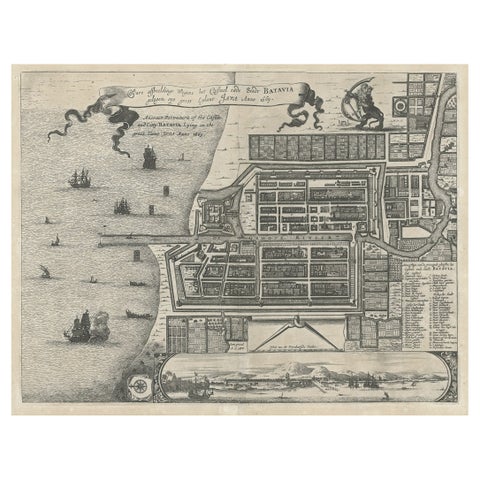
Maps and Sea Charts · Java
Antique Plan of the Castle & City of Batavia 'Jakarta' on Java, Indonesia, c1669
1669 · 44.5 × 39 cm€1,250
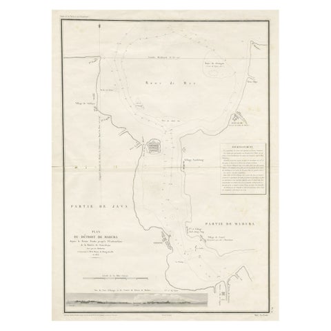
Maps and Sea Charts · Java
Detailed Map of the Madura Strait, between Java & Madura Island, Indonesia, 1825
1825 · 50.5 × 68 cm€1,250
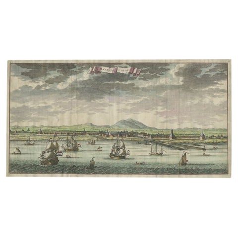
Towns and Landscapes · Java
Antique Print of Batavia, Capital of the Dutch East Indies or Indonesia, '1726'
1726 · 54 × 28.5 cm€1,250
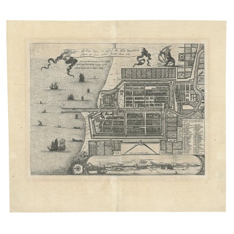
Maps and Sea Charts · Java
Antique Map of Batavia 'Jakarta', Indonesia by Montanus, circa 1669
1669 · 44.5 × 39 cm€1,250
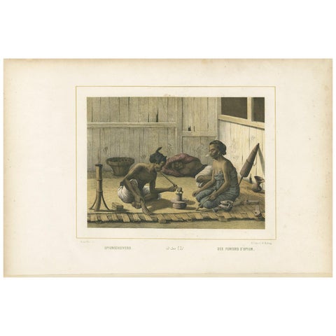
Peoples and Costume · Java
Antique Print of Javanese Locals Smoking Opium by Van Pers, circa 1850
1850 · 51.5 × 34.5 cm€1,200
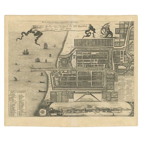
Maps and Sea Charts · Java
Antique Map of the City of Batavia by Van der Aa, circa 1730
1730 · 37.5 × 31 cm€1,200
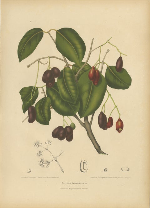
Flora and Fauna · Java
Antique Java Plum Botanical Chromolithograph by Hoola van Nooten, c. 1880
1880 · 40 × 55.5 cm€1,190
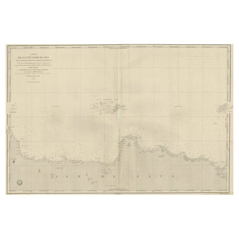
Maps and Sea Charts · Java
Early French Nautical Chart of the Northern Coast of of Java, Indonesia, C.1850
1850 · 98 × 67 cm€1,150
Java in maps and prints
Java was the center of the Dutch East Indies from the founding of Batavia in 1619 to the end of the colony. Its maps run from the miniature Java of Bertius in 1616, still drawn as an island of unknown south coast, through the large engraved maps of Janssonius, Chatelain and Van der Aa, to the four-sheet survey of the 1880s.
The prints show Batavia as a walled Dutch town of canals, the courts of the Javanese rulers, the rice fields and the volcanoes. Abraham Salm's chromolithographs of 1872 and Perelaer's views of 1888 are the most complete picture of 19th century Java in this collection.
Other islands
Questions
Why is Java drawn without a south coast on early maps?
Dutch ships sailed the north coast to Batavia and the Sunda Strait; the south coast faced the open Indian Ocean and was not charted until the later 17th century. Early maps leave it open or guess at it.