Collection
Maps and Sea Charts
Maps and charts of the archipelago from Münster's woodcut of Sumatra of about 1590 to the Dornseiffen atlas of 1884: Blaeu and Janssonius, Valentijn's island maps of 1726, Bellin and Mannevillette for the French navy, and the town plans of Batavia.
50 sheets
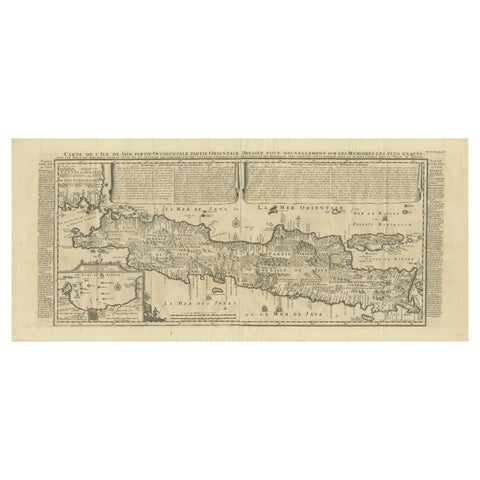
Maps and Sea Charts · Java
Antique Map of Java by Henri Chatelain, Decorative Print, 1718, France
1718 · 44 × 98 cm£2,220
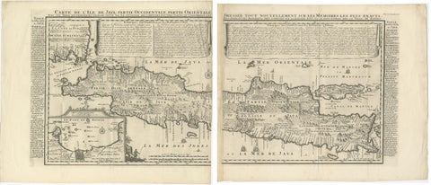
Maps and Sea Charts · Java
Antique Map of Java 'Indonesia' by Chatelain, 1719
1719 · 103.5 × 89 cm£2,095
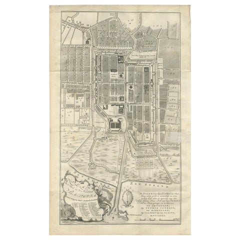
Maps and Sea Charts · Java
Antique Plan of Batavia by Van Krevelt, circa 1780
1780 · 45 × 69 cm£2,095
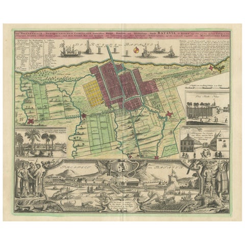
Maps and Sea Charts · Java
Antique Map and Views of Batavia by Homann Heirs, '1733'
1733 · 61 × 51 cm£2,095
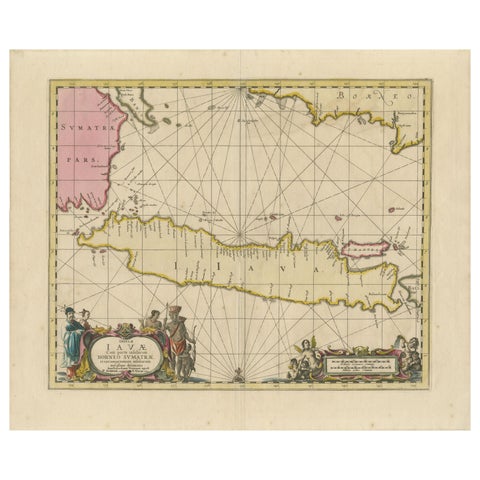
Maps and Sea Charts · Java
Antique Map of Java, Sumatra & Borneo, Dutch East Indies Sea Chart c.1700
1700 · 61.5 × 51.2 cm£1,885
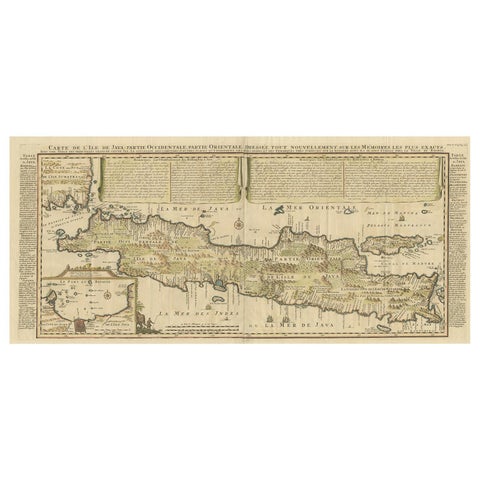
Maps and Sea Charts · Java
Antique French Map of Java, Indonesia by Chatelain, '1719'
1719 · 93.5 × 44.5 cm£1,600
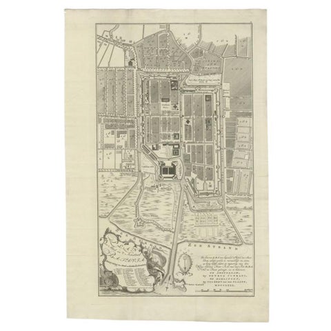
Maps and Sea Charts · Java
Antique Plan of Batavia, Nowadays Jakarta, Indonesia, 1780
1780 · 47 × 73 cm£1,545
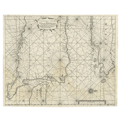
Maps and Sea Charts · Java
Rare Old English Sea Chart of Part of Indonesia with Java, Madura and Bali, 1711
1711 · 55.3 × 45 cm£1,380
Maps and Sea Charts · Java
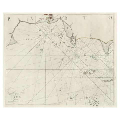
Two Antique Sea Charts of the Thousand Islands between Batavia and Bantam, c1734
1734 · 126 × 51 cm£1,380
Maps and Sea Charts · Java
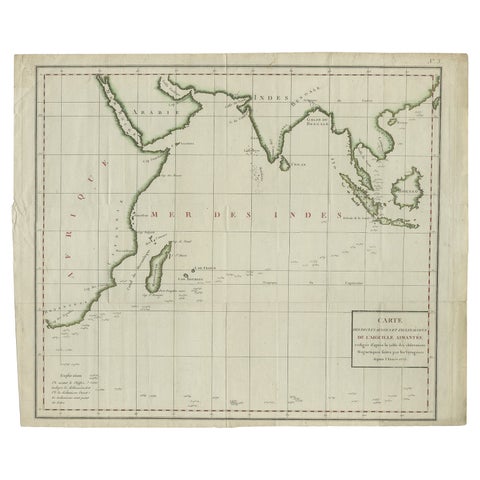
Old Map of Indian Ocean & Sumatra, Java, Borneo, India, Arabia, Africa, c.1783
1783 · 64.5 × 53 cm£1,170
Maps and Sea Charts · Java
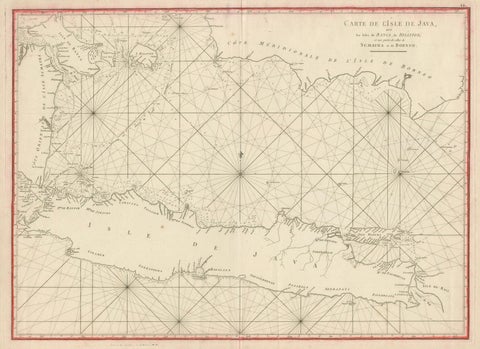
Antique Sea Chart Java Indonesia, Mannevillette Neptune Oriental 1775
1775 · 74 × 53.8 cm£1,170
Maps and Sea Charts · Java
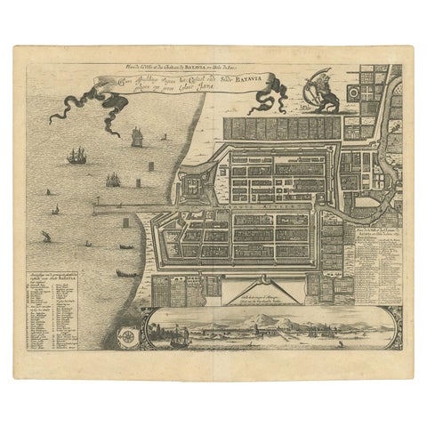
Antique Map of the City of Batavia by Van der Aa, circa 1730
1730 · 37.5 × 31 cm£1,005
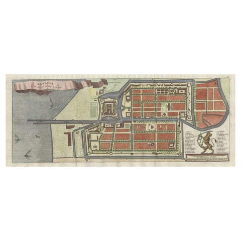
Maps and Sea Charts · Java
Antique Map of Batavia, Nowadays Jakarta, the Capital of Indonesia, 1782
1782 · 53.5 × 25 cm£795
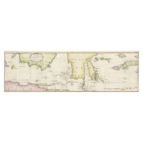
Maps and Sea Charts · Java
Rare Chart of Indonesia Including Borneo, Java, Celebes, Ceram and More, 1779
1779 · 74.5 × 23 cm£745
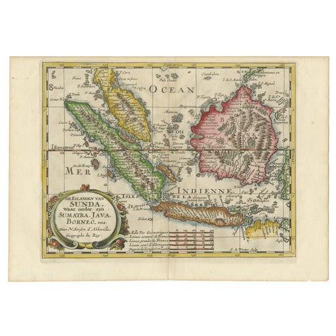
Maps and Sea Charts · Java
Antique Map of the Sunda Islands Including Sumatra, Java, and Borneo, 1705
1705 · 30.2 × 22 cm£720
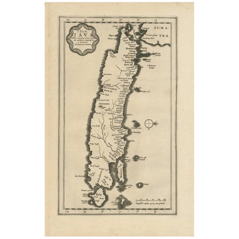
Maps and Sea Charts · Java
Antique Map of the Island of Java, Indonesia by P. Van Der Aa, 1713
1713 · 21.3 × 32.8 cm£570
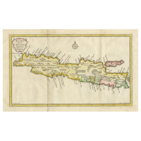
Maps and Sea Charts · Java
Scarce Antique Map of the Island of Java, Indonesia
1780 · 44.8 × 24.2 cm£545
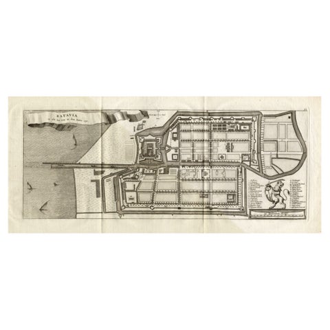
Maps and Sea Charts · Java
Antique Map of Batavia 'Jakarta, Indonesia', the Dutch East-Indies, 1782
1782 · 54 × 27.5 cm£535
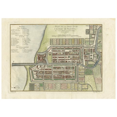
Maps and Sea Charts · Java
Hand-Colored 1750 Plan of Batavia, Colonial Jakarta, Indonesia by Jacques Bellin
1750 · 37.5 × 26.7 cm£535
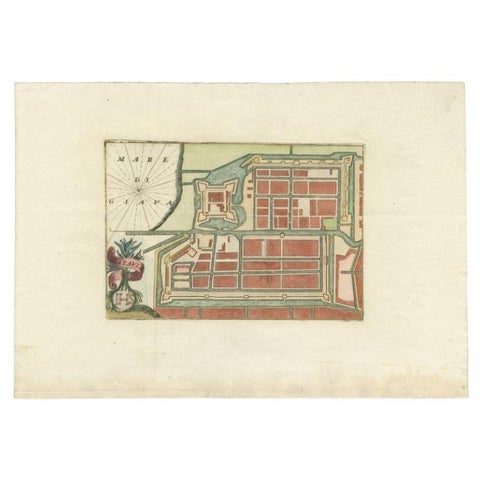
Maps and Sea Charts · Java
Antique Plan of Batavia in the Dutch East Indies or Nowadays Jakarta, Indonesia
circa 1720 · 49.5 × 34.5 cm£505
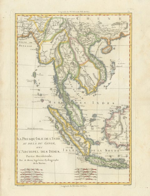
Maps and Sea Charts · Java
Elegant 18th Century Map of Southeast Asia, Siam, Sumatra & Java by Bonne, 1787
1787 · 31.5 × 45 cm£485
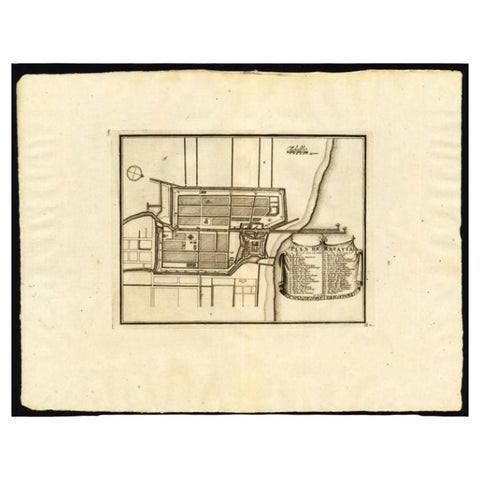
Maps and Sea Charts · Java
Antique Plan of Batavia, Capital of the Dutch East Indies, by Van Der Aa, 1725
1725 · 49 × 38 cm£475
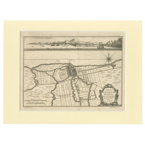
Maps and Sea Charts · Java
Old Engraving of Batavia 'Jakarta, Indonesia' with Map and Harbour View, 1750
1750 · 40 × 30 cm£460
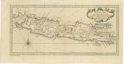
Maps and Sea Charts · Java
Antique Map of Java Indonesia, VOC Period, Decorative Cartouche, c.1750
1750 · 48.5 × 25.6 cm£460
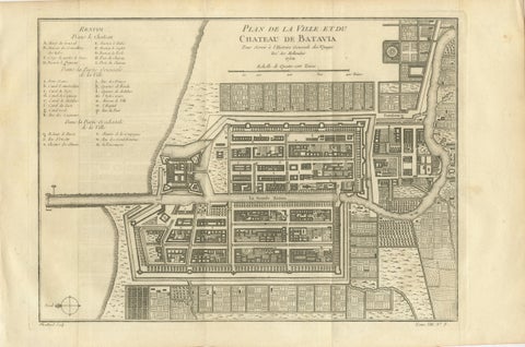
Maps and Sea Charts · Java
Antique Map of Batavia Jakarta Indonesia, Dutch East Indies, c.1750
1750 · 37.8 × 25 cm£455
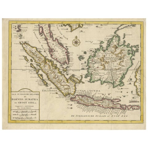
Maps and Sea Charts · Java
Antique Map of the Sunda Islands Sumatra, Java, Malay Peninsula & Borneo (1739)
1739 · 39.5 × 31 cm£450
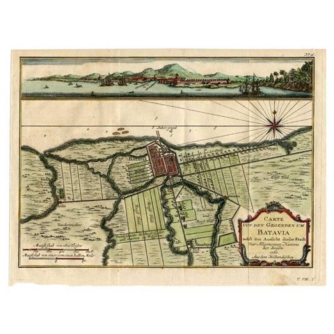
Maps and Sea Charts · Java
Antique Map of Batavia, Capital of The Dutch East Indies at the Time, 1751
1751 · 32 × 24.5 cm£375
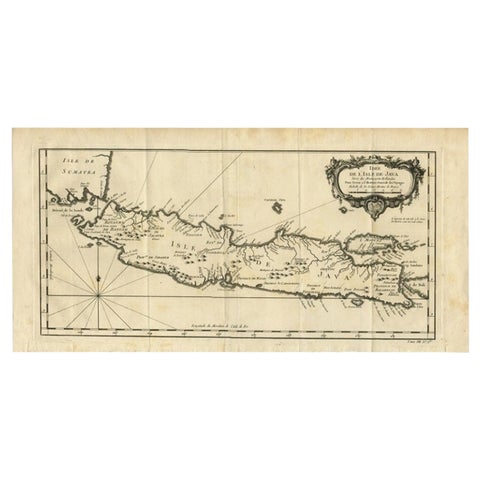
Maps and Sea Charts · Java
Antique Map of Java and Madura Island, Indonesia, c.1760
1760 · 24.5 × 50 cm£375
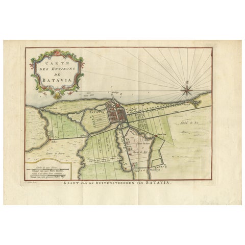
Maps and Sea Charts · Java
Map of Batavia’s Surroundings with Early Reference to Jakarta, Indonesia, c.1770
1770 · 35.7 × 25.2 cm£370
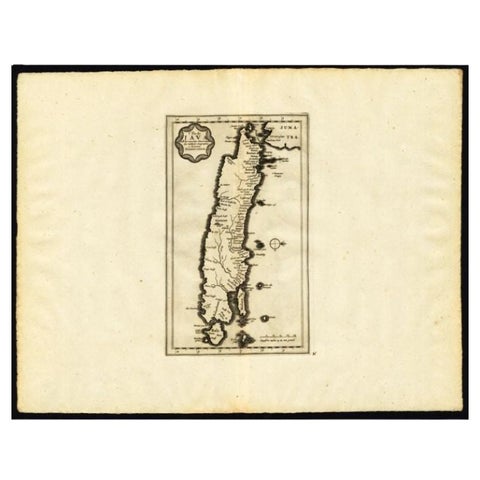
Maps and Sea Charts · Java
Antique Map of the Island of Java by Van Der Aa, 1725
1725 · 49 × 38 cm£330
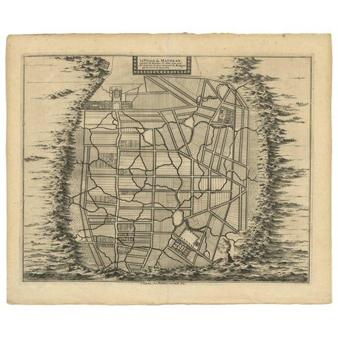
Maps and Sea Charts · Java
Antique Map of the City of Materan 'Indonesia' by P. van der Aa, circa 1725
1725 · 40.2 × 33 cm£330
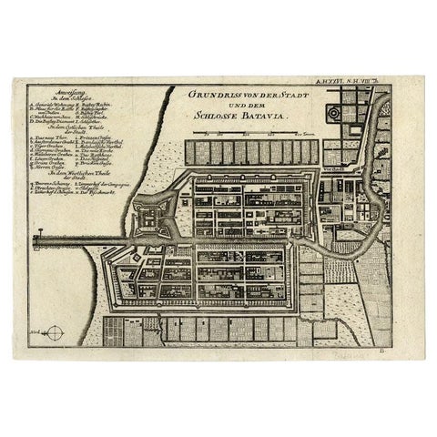
Maps and Sea Charts · Java
Antique Plan of Batavia and the Castle in the Dutch East Indies, 1763
1763 · 33 × 22.9 cm£325
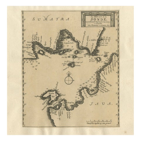
Maps and Sea Charts · Java
Sunda Strait Sea Chart, Sumatra and Java, Dutch Engraving c.1700
1700£320
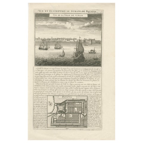
Maps and Sea Charts · Java
Antique View of Surat & Plan of Batavia, VOC India & Indonesia, Chatelain, 1719
1719 · 28 × 44 cm£320
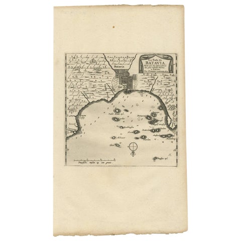
Maps and Sea Charts · Java
Antique Map of Batavia, Jakarta, Indonesia by P. Van Der Aa, 1719
1719 · 19 × 33 cm£305
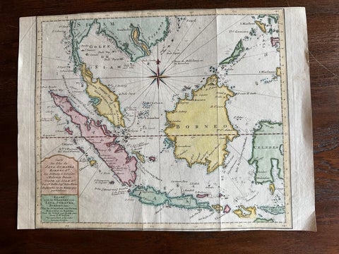
Maps and Sea Charts · Java
Original Map of the East Indies Including Sumatra, Java, Borneo & Malaysia, 1755
1755 · 33 × 24.5 cm£295
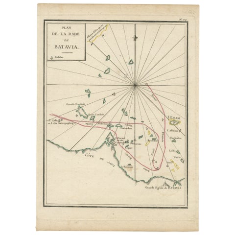
Maps and Sea Charts · Java
Interesting Map of the Thousand Islands in the Bay of Batavia 'Jakarta', ca.1740
1740 · 21 × 29 cm£285
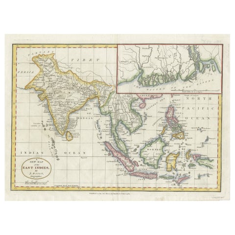
Maps and Sea Charts · Java
1782 Map of the East Indies, India, Siam, Philippines, Java, Borneo, Ganges
1782 · 34.5 × 26 cm£275
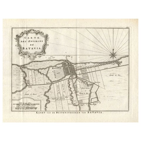
Maps and Sea Charts · Java
Antique Map of the Region of Batavia by Conrade, 1782
1782 · 44 × 27.5 cm£265
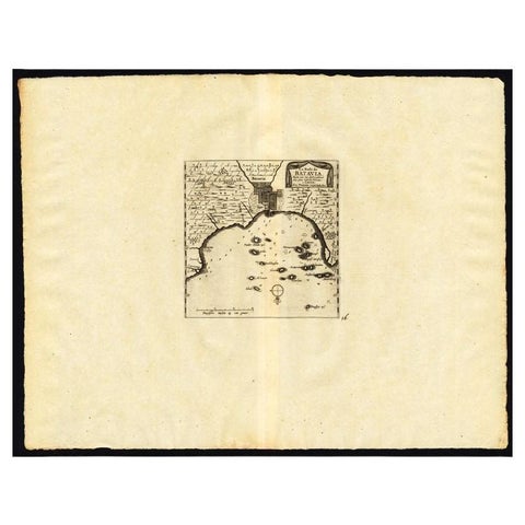
Maps and Sea Charts · Java
Antique Map of the Roadstead of Batavia by Van der Aa, 1725
1725 · 49 × 38 cm£260
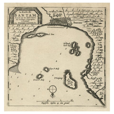
Maps and Sea Charts · Java
Antique Map of Banten Bay on Java Island, Indonesia, c.1720
1720 · 19.4 × 30.3 cm£230
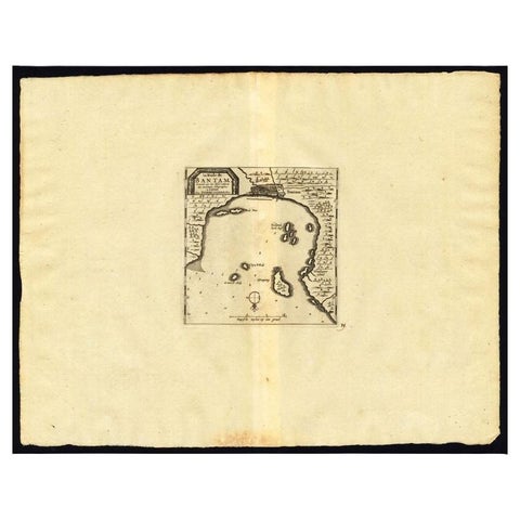
Maps and Sea Charts · Java
Antique Map of the Roadstead of Bantam by Van der Aa, 1725
1725 · 49 × 38 cm£220
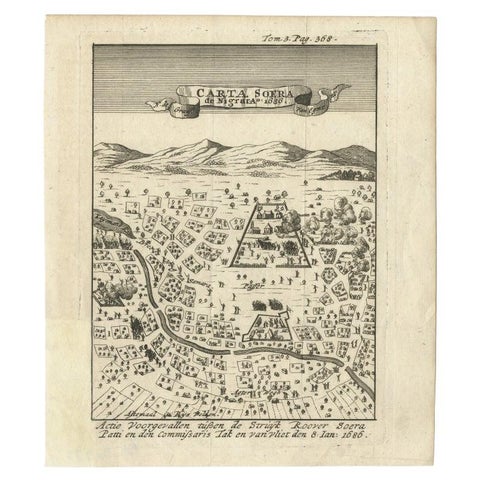
Maps and Sea Charts · Java
Antique Map of Carta Soura, Headquarter of the Javanese Nobility, 1706
1706 · 17 × 19.6 cm£210
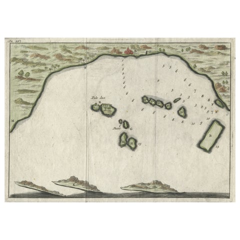
Maps and Sea Charts · Java
Small Early 18th Century Map of Banten Bay on the Island Java, Indonesia, c.1725
1725 · 21.8 × 16 cm£185
Maps and Sea Charts · Java
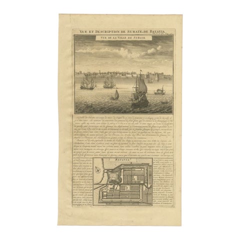
Antique Print of Surate and a Plan of Batavia in the Dutch East Indies, 1719
1719 · 26 × 44 cm£145
Maps and Sea Charts · Java
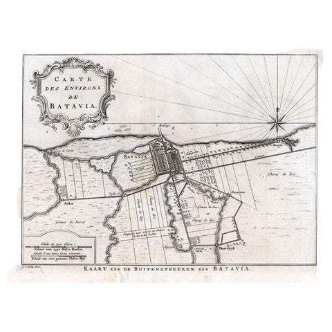
Antique Map of the Region of Batavia by Van Schley, c.1750
1750 · 33 × 27.5 cm£140
Maps and Sea Charts · Java
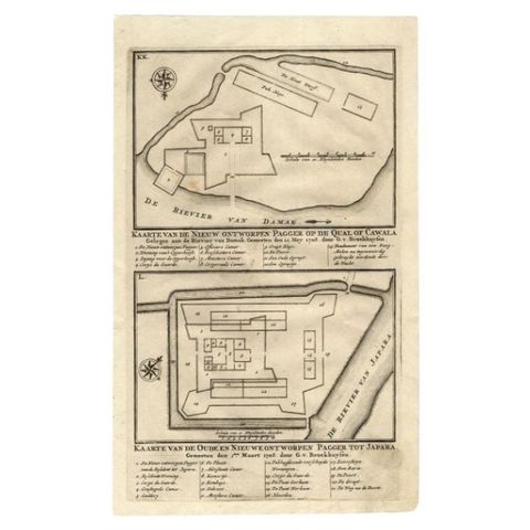
Antique Map of the Fortifications of Demak and Jepara by Valentijn, 1726
1726 · 20.4 × 33.4 cm£130
Maps and Sea Charts · Java
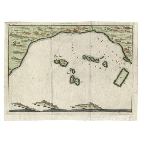
Antique Map of Banten Bay, Java, Indonesia, c.1725
1725 · 21.8 × 16 cm£125