Stemler's detail maps
Small detailed maps by Stemler and Stemfoort (1870s and 1880s) of districts, bays and islands across the archipelago.
11 sheets
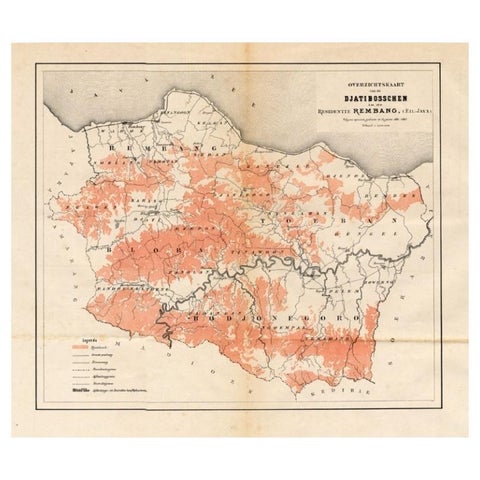
Maps and Sea Charts · Java
Antique Map of the Djati 'teak wood' Forest Near Rembang, Java by Stemler, 1875
1875 · 40 × 34.5 cm€270
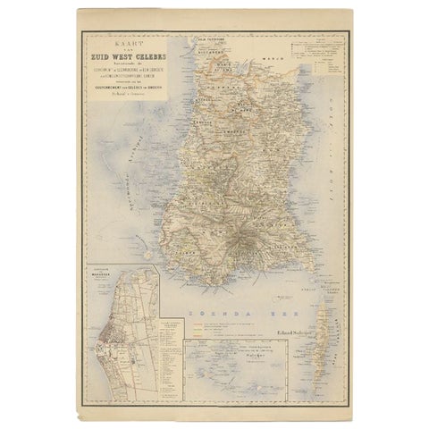
Maps and Sea Charts · Celebes
Antique Map of Southern Sulawesi by Stemfoort, 1885
1885 · 48 × 63 cm€265
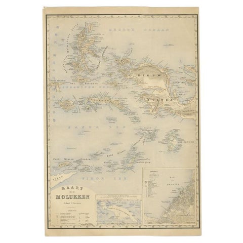
Maps and Sea Charts · Moluccas
Antique Map of the Moluccas by Stemfoort, 1885
1885 · 48 × 61.5 cm€265
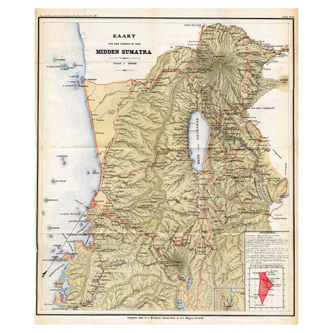
Maps and Sea Charts · Sumatra
Antique Map of Part of Sumatra by Stemler, c.1875
1875 · 45 × 56 cm€123
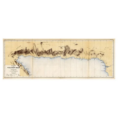
Maps and Sea Charts · Moluccas
Antique Map of Taluti Bay by Stemler, C.1875
1875 · 76 × 27.5 cm€123
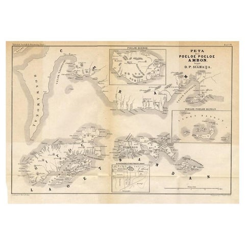
Maps and Sea Charts · Moluccas
Antique Map of the Maluku Islands 'Ambon' by Stemler, 1874
1874 · 46.5 × 32 cm€100
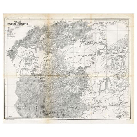
Maps and Sea Charts
Antique Map of the District of Boemi Agoeng by Stemler, c.1875
1875 · 52 × 42 cm€78
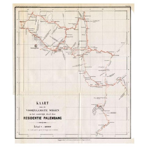
Maps and Sea Charts · Sumatra
Antique Map of the Main Roads of Palembang by Stemler, c.1875
1875 · 37 × 42.5 cm€75
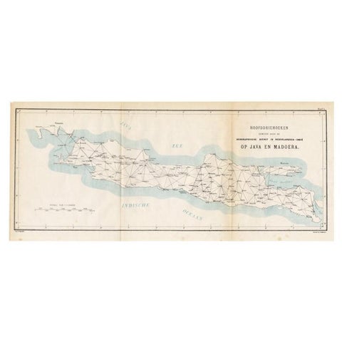
Maps and Sea Charts · Java
Old Map of Java, Indonesia by Stemler, 1875
1875 · 59 × 27.5 cm€70
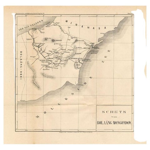
Maps and Sea Charts · Celebes
Antique Map of the Bolaang Mongondow District on Sulawesi by Stemler, c.1875
1875 · 39 × 38 cm€63
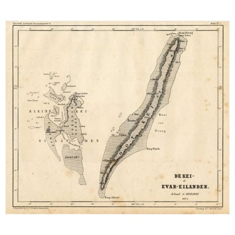
Maps and Sea Charts · Moluccas
Antique Map of the Kai Islands by Stemler, c.1875
1875 · 27.5 × 22 cm€63
More to explore
Makers and books
François Valentijn 76Perelaer's Java (1888) 87Pieter van der Aa 17Jacques-Nicolas Bellin 9Blaeu and Janssonius 8Henri Chatelain 7Berthe Hoola van Nooten 25Kleingrothe's Sumatra 33Temminck's Verhandelingen 16Wahlen's costume atlas 17Van Pers's Java scenes 9Abraham Salm's Java (1872) 18Dornseiffen's atlas 9Van den Bosch (1818) 6Vandermaelen (1827) 8Mannevillette's Neptune Oriental 4De Bry's India Orientalis 9Ferrario's costume atlas 13Berghaus (1855) 5Jacob van der Schley 6Hurter's Java (c.1830) 4