Stemler's detail maps
Small detailed maps by Stemler and Stemfoort (1870s and 1880s) of districts, bays and islands across the archipelago.
11 sheets
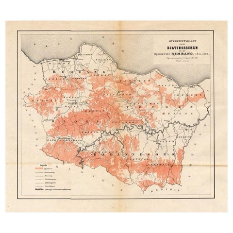
Maps and Sea Charts · Java
Antique Map of the Djati 'teak wood' Forest Near Rembang, Java by Stemler, 1875
1875 · 40 × 34.5 cm$300
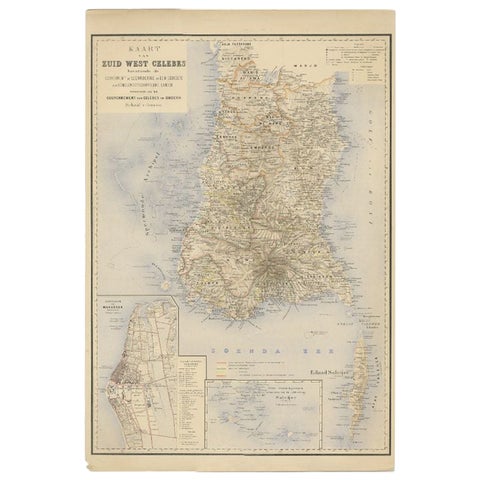
Maps and Sea Charts · Celebes
Antique Map of Southern Sulawesi by Stemfoort, 1885
1885 · 48 × 63 cm$295
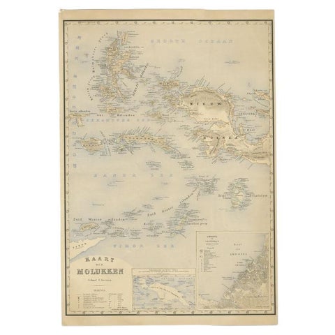
Maps and Sea Charts · Moluccas
Antique Map of the Moluccas by Stemfoort, 1885
1885 · 48 × 61.5 cm$295
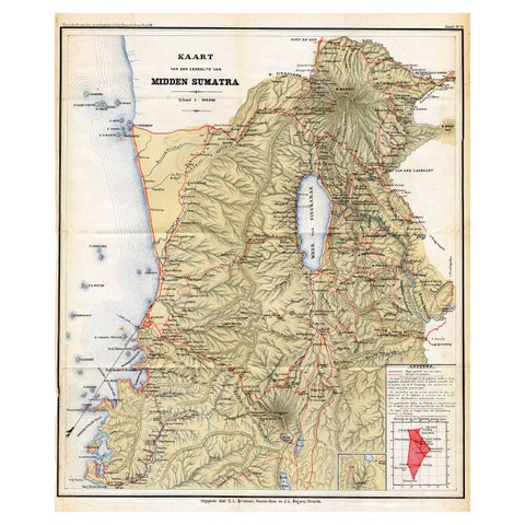
Maps and Sea Charts · Sumatra
Antique Map of Part of Sumatra by Stemler, c.1875
1875 · 45 × 56 cm$140
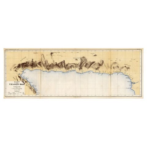
Maps and Sea Charts · Moluccas
Antique Map of Taluti Bay by Stemler, C.1875
1875 · 76 × 27.5 cm$140
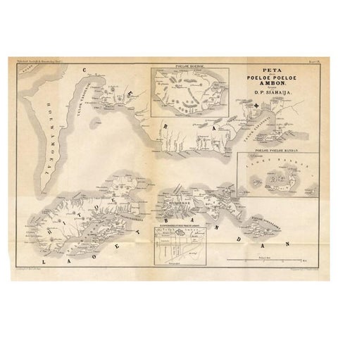
Maps and Sea Charts · Moluccas
Antique Map of the Maluku Islands 'Ambon' by Stemler, 1874
1874 · 46.5 × 32 cm$110
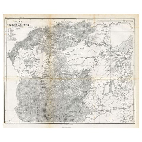
Maps and Sea Charts
Antique Map of the District of Boemi Agoeng by Stemler, c.1875
1875 · 52 × 42 cm$85
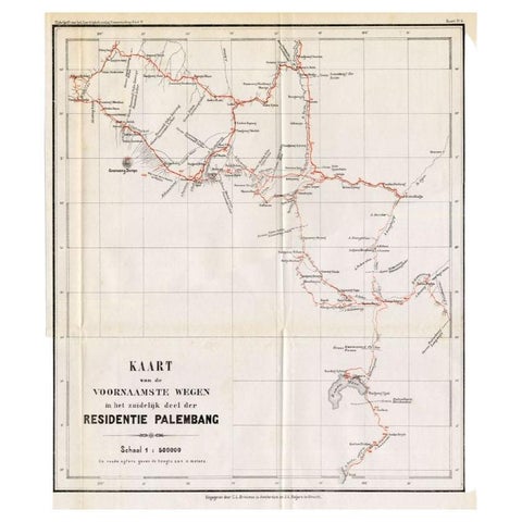
Maps and Sea Charts · Sumatra
Antique Map of the Main Roads of Palembang by Stemler, c.1875
1875 · 37 × 42.5 cm$85
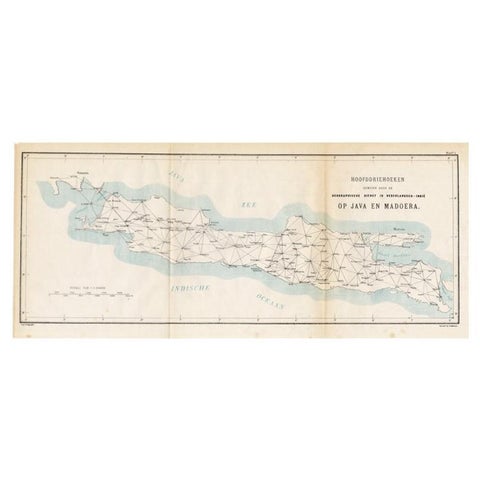
Maps and Sea Charts · Java
Old Map of Java, Indonesia by Stemler, 1875
1875 · 59 × 27.5 cm$80
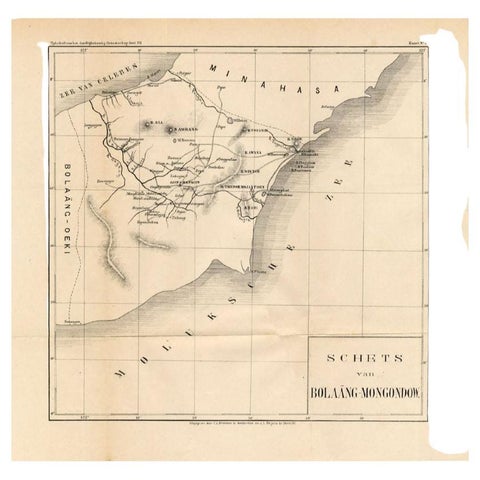
Maps and Sea Charts · Celebes
Antique Map of the Bolaang Mongondow District on Sulawesi by Stemler, c.1875
1875 · 39 × 38 cm$70
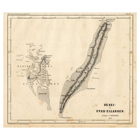
Maps and Sea Charts · Moluccas
Antique Map of the Kai Islands by Stemler, c.1875
1875 · 27.5 × 22 cm$70