Henri Chatelain
Maps and views from Henri Chatelain's Atlas historique (Amsterdam, 1705 to 1720), large engraved sheets with text panels, including his Java and the forts of the East Indies.
7 sheets
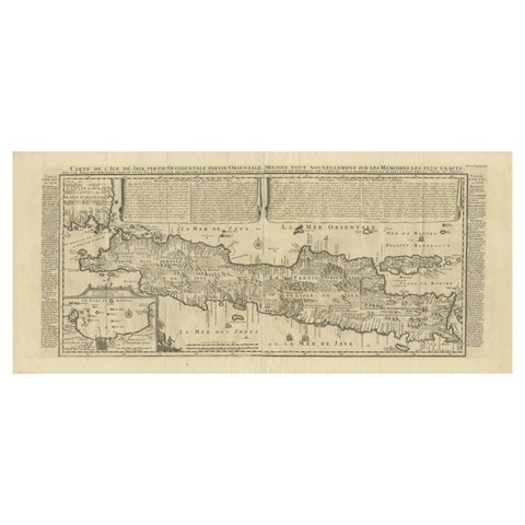
Maps and Sea Charts · Java
Antique Map of Java by Henri Chatelain, Decorative Print, 1718, France
1718 · 44 × 98 cm€2,650
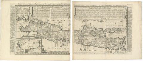
Maps and Sea Charts · Java
Antique Map of Java 'Indonesia' by Chatelain, 1719
1719 · 103.5 × 89 cm€2,500
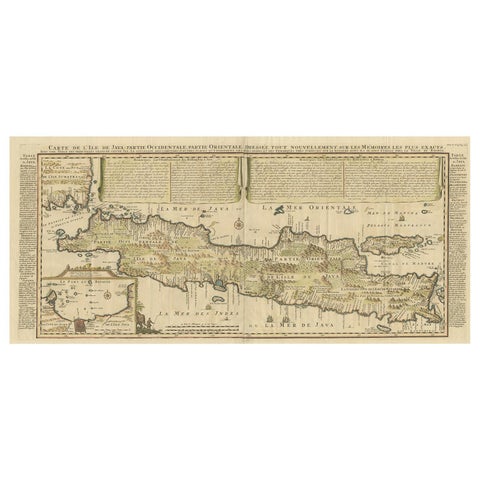
Maps and Sea Charts · Java
Antique French Map of Java, Indonesia by Chatelain, '1719'
1719 · 93.5 × 44.5 cm€1,914
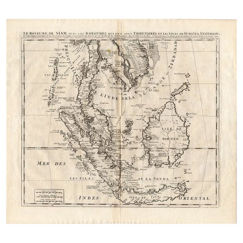
Maps and Sea Charts
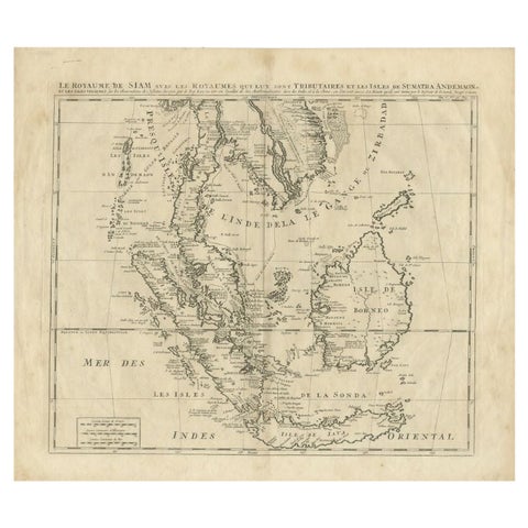
Antique Map of Southeast Asia by Chatelain, c.1732
1732 · 50 × 44 cm€860
Maps and Sea Charts
Antique Map of Southeast Asia by Chatelain, c.1732
1732 · 51 × 44.5 cm€775
Maps and Sea Charts
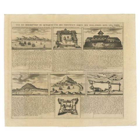
Antique Print of Forts and Views of the East Indies by Chatelain (1719)
1719 · 51 × 43.5 cm€490
Maps and Sea Charts · Java
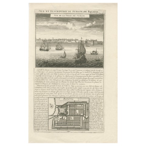
Antique View of Surat & Plan of Batavia, VOC India & Indonesia, Chatelain, 1719
1719 · 28 × 44 cm€380
More to explore
Makers and books
François Valentijn 76Perelaer's Java (1888) 87Pieter van der Aa 17Jacques-Nicolas Bellin 9Blaeu and Janssonius 8Berthe Hoola van Nooten 25Kleingrothe's Sumatra 33Temminck's Verhandelingen 16Wahlen's costume atlas 17Van Pers's Java scenes 9Abraham Salm's Java (1872) 18Dornseiffen's atlas 9Stemler's detail maps 11Van den Bosch (1818) 6Vandermaelen (1827) 8Mannevillette's Neptune Oriental 4De Bry's India Orientalis 9Ferrario's costume atlas 13Berghaus (1855) 5Jacob van der Schley 6Hurter's Java (c.1830) 4