Henri Chatelain
Maps and views from Henri Chatelain's Atlas historique (Amsterdam, 1705 to 1720), large engraved sheets with text panels, including his Java and the forts of the East Indies.
7 sheets
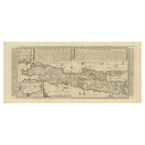
Maps and Sea Charts · Java
Antique Map of Java by Henri Chatelain, Decorative Print, 1718, France
1718 · 44 × 98 cm€2,650
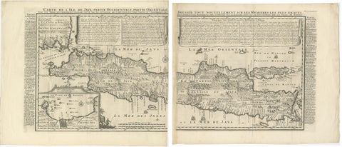
Maps and Sea Charts · Java
Antique Map of Java 'Indonesia' by Chatelain, 1719
1719 · 103.5 × 89 cm€2,500
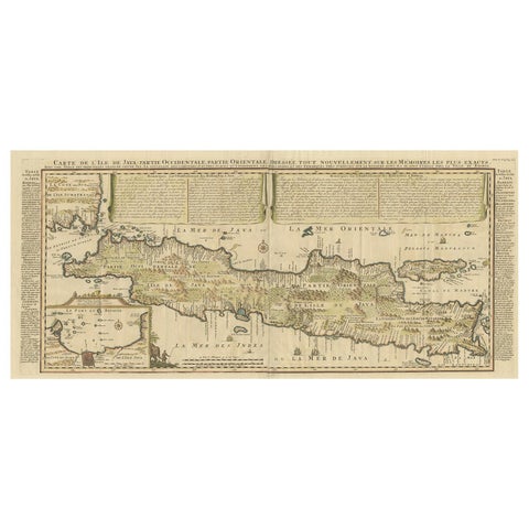
Maps and Sea Charts · Java
Antique French Map of Java, Indonesia by Chatelain, '1719'
1719 · 93.5 × 44.5 cm€1,914
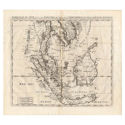
Maps and Sea Charts
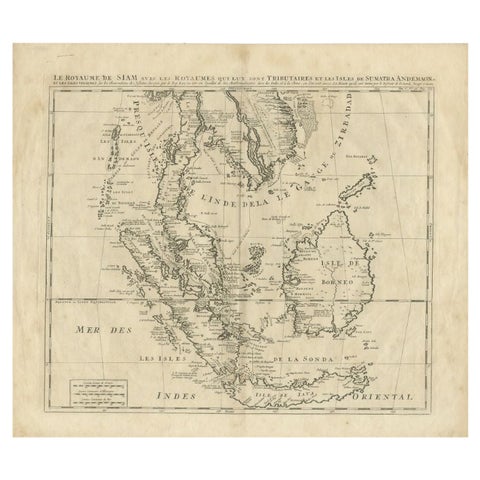
Antique Map of Southeast Asia by Chatelain, c.1732
1732 · 50 × 44 cm€860
Maps and Sea Charts
Antique Map of Southeast Asia by Chatelain, c.1732
1732 · 51 × 44.5 cm€775
Maps and Sea Charts
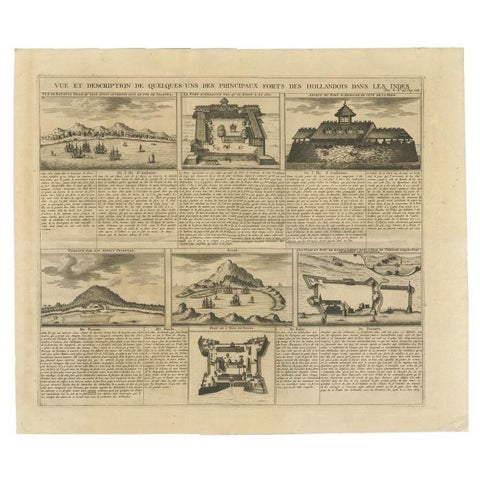
Antique Print of Forts and Views of the East Indies by Chatelain (1719)
1719 · 51 × 43.5 cm€490
Maps and Sea Charts · Java
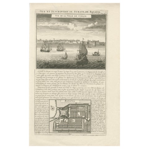
Antique View of Surat & Plan of Batavia, VOC India & Indonesia, Chatelain, 1719
1719 · 28 × 44 cm€380