Search: Taprobana
109 sheets
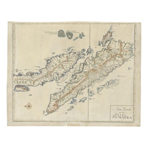
Maps and Sea Charts · Sumatra
Antique Map of Sumatra, Indonesia 'c.1780'
1780 · 63 × 49.5 cm£2,930
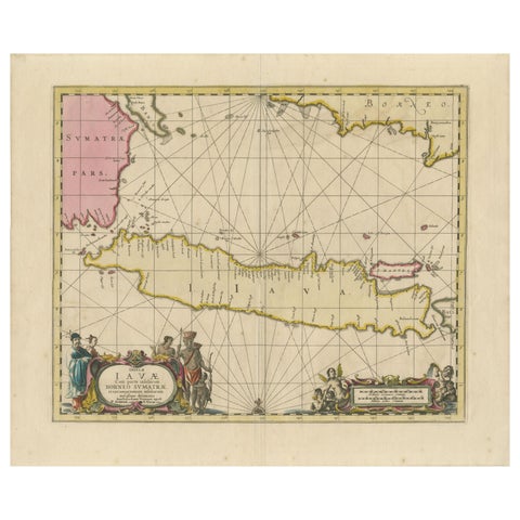
Maps and Sea Charts · Java
Antique Map of Java, Sumatra & Borneo, Dutch East Indies Sea Chart c.1700
1700 · 61.5 × 51.2 cm£1,885
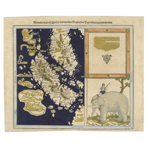
Maps and Sea Charts · Sumatra
Renaissance Mapping of Sumatra: Featuring Singapore in Münster’s Woodcut, c.1590
1590 · 41.5 × 34 cm£1,215
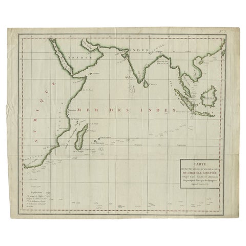
Maps and Sea Charts · Java
Old Map of Indian Ocean & Sumatra, Java, Borneo, India, Arabia, Africa, c.1783
1783 · 64.5 × 53 cm£1,170
Maps and Sea Charts · Sumatra
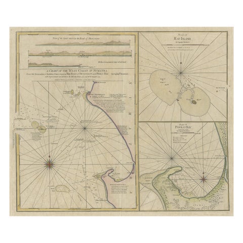
Early Chart Identifying British Spice Trading Colony of Bencoolen, Sumatra, 1797
1797 · 71 × 57.5 cm£1,045
The Company · Sumatra
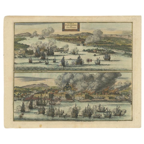
Antique Print of the Dutch VOC Bombing Palembang, Sumatra (Indonesia), ca.1700
1700 · 40 × 32.5 cm£795
The Company · Sumatra
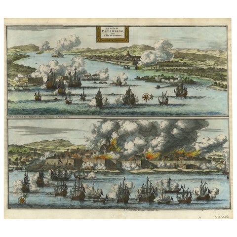
Decorative Engraving of VOC Battle Ships Attacking Palembang in Sumatra, ca.1700
1700 · 35.7 × 31.3 cm£745
Maps and Sea Charts · Java
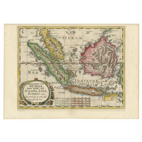
Antique Map of the Sunda Islands Including Sumatra, Java, and Borneo, 1705
1705 · 30.2 × 22 cm£720
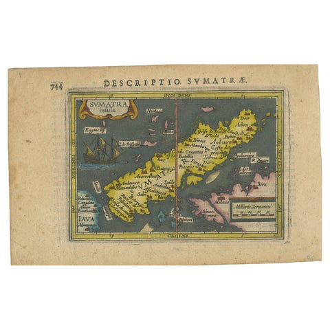
Maps and Sea Charts · Sumatra
1616 Bertius Map of Sumatra, Singapore and the Straits of Malacca
1616 · 19 × 12 cm£705
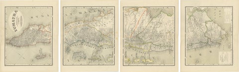
Maps and Sea Charts · Sumatra
An Impressive Four-Sheet Map Set of Sumatra from the Dutch East Indies, 1884
1884 · 39 × 48.5 cm£645

Maps and Sea Charts · Java
Rare Small Map of Sumatra, Java, Borneo, Macassar, Madura, Bali, 1614
1614 · 24 × 18 cm£630
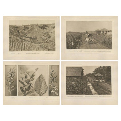
Towns and Landscapes · Sumatra
Set of 4 Tobacco Industry Photogravures, Sumatra’s O.K., C.J. Kleingrothe, 1910
1910 · 34 × 45 cm£620
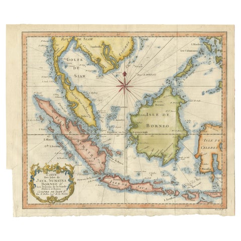
Maps and Sea Charts · Java
Java, Sumatra & Borneo Map, Bellin & van Schley Decorative Chart, 1750s
Date not stated · 32 × 26.5 cm£545
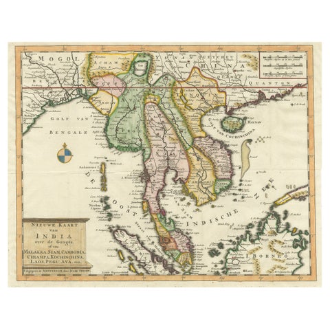
Maps and Sea Charts · Sumatra
Antique Map of Indochina, the Malaysian Peninsula and Northern Sumatra
Date not stated · 45 × 31.2 cm£535
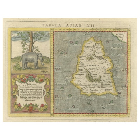
Maps and Sea Charts · Sumatra
1621 Ptolemy & Magini Map of Taprobana (Sumatra) with Elephant Inset
1621 · 19 × 28 cm£520
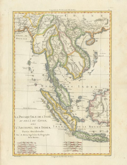
Maps and Sea Charts · Java
Elegant 18th Century Map of Southeast Asia, Siam, Sumatra & Java by Bonne, 1787
1787 · 31.5 × 45 cm£485
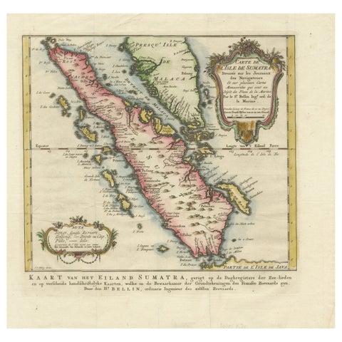
Maps and Sea Charts · Sumatra
Rare 1770 Bellin Map of Sumatra with Stunning Decorative Cartouches
1770 · 34.5 × 33.2 cm£460
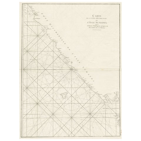
Maps and Sea Charts · Sumatra
Sea Chart of Part of the Southwestern Coast of Sumatra & Nias, Indonesia, C1775
1775 · 55 × 78 cm£450
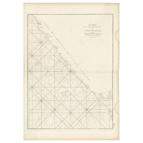
Maps and Sea Charts · Sumatra
Antique Sea Chart of the Coast of Sumatra, Indonesia, circa 1775
1775 · 55 × 78 cm£450
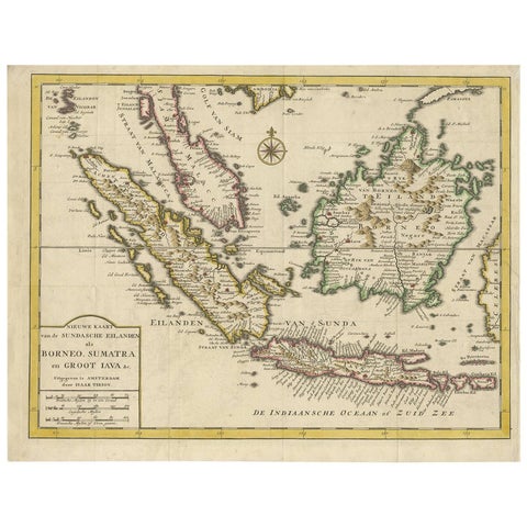
Maps and Sea Charts · Java
Antique Map of the Sunda Islands Sumatra, Java, Malay Peninsula & Borneo (1739)
1739 · 39.5 × 31 cm£450
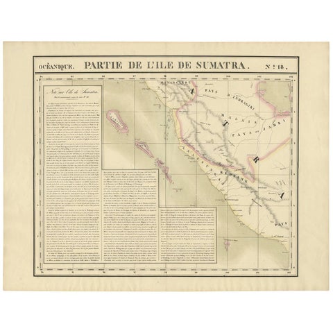
Maps and Sea Charts · Sumatra
Antique Map of West Sumatra by P.M.G. Vandermaelen, 1827
1827 · 69.6 × 53.4 cm£415
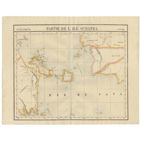
Maps and Sea Charts · Sumatra
Antique Map of South Sumatra by P.M.G. Vandermaelen, 1827
1827 · 67.4 × 53 cm£415
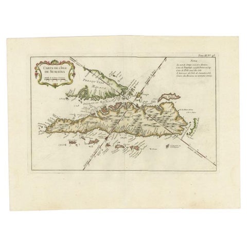
Maps and Sea Charts · Sumatra
Antique Map of Sumatra by Bellin, 1764
1764 · 43.5 × 32.5 cm£405
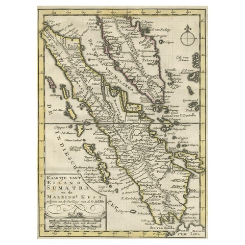
Maps and Sea Charts · Sumatra
Authentic Old Map of Sumatra, Malaysia and Singapore, 1745
1745 · 24 × 17 cm£400
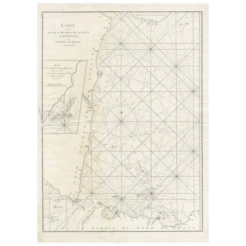
Maps and Sea Charts · Sumatra
Antique Sea Chart by J. B. d'Apres de Mannevillette, Sumatra, 1780
1780 · 53 × 76.7 cm£395
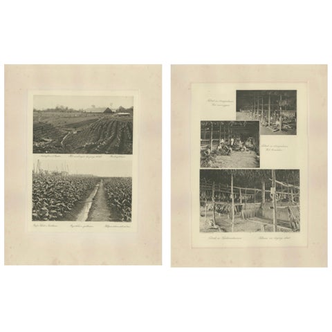
Towns and Landscapes · Sumatra
Sumatra Tobacco Cultivation & Drying Barns, Deli Estates Photographic Pair 1910
1910 · 34 × 45 cm£395
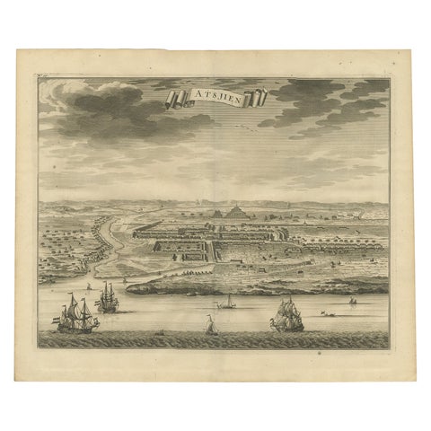
Towns and Landscapes · Sumatra
Antique Bird's Eye-view Atjien or Atjeh in Aceh in Northern Sumatra, Indonesia
Date not stated · 41 × 34 cm£385
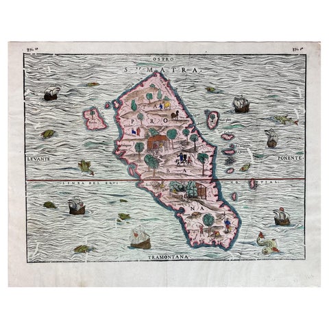
Maps and Sea Charts · Sumatra
1606 Hand-Colored Woodcut Map of Sumatra from Ramusio’s Delle Navigationi
1606 · 41 × 32 cm£385
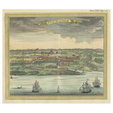
Towns and Landscapes · Sumatra
Antique Print with a View of Aceh, Sumatra in Indonesia
1766 · 15.5 × 15.5 cm£370
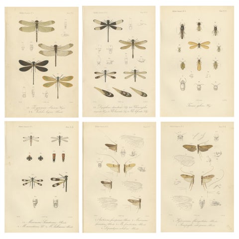
Flora and Fauna · Sumatra
Set of 6 Antique 1887 Sumatra Dragonfly and Insect Lithographs, Fauna Studies
1887 · 17.5 × 26.3 cm£370

Flora and Fauna · Sumatra
Set of 2 Antique Beetle Prints, Scarab, Ground & Longhorn Beetles, Sumatra 1887
1887 · 17.5 × 26.3 cm£370
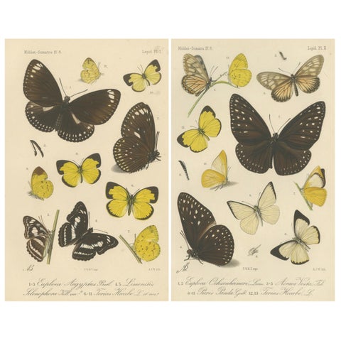
Flora and Fauna · Sumatra
Antique Butterfly Prints (Set of 2), Sumatra Lepidoptera c.1887
1887 · 17.5 × 26.3 cm£370
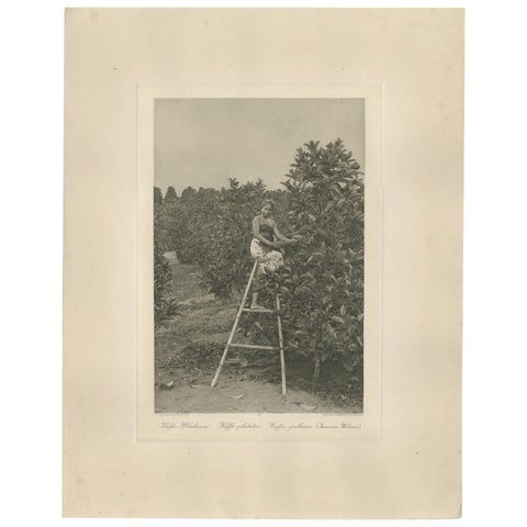
Peoples and Costume · Sumatra
Coffee Picker Portrait, Deli Plantations, Sumatra, Dutch East Indies, c.1900
1900 · 34 × 45 cm£370
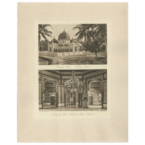
Towns and Landscapes · Sumatra
Malay Mosque Tandjong Poera, Original 1900s Photogravure, Sumatra Indonesia
circa 1890 · 45 × 34 cm£370
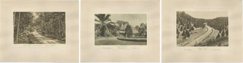
Towns and Landscapes · Sumatra
Set of 3 Antique Photogravures of Sumatra Plantations, Deli, Medan Region, 1900
1900 · 45 × 34 cm£370
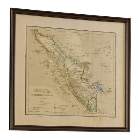
Maps and Sea Charts · Sumatra
Antique Map of Sumatra, Bangka Belitung and Riau in the Dutch East Indies, 1884
1884 · 48.5 × 39 cm£370
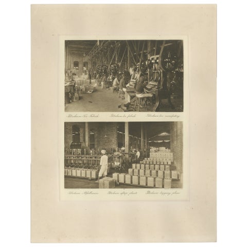
Towns and Landscapes · Sumatra
Petroleum Tin Factory & Filling Operations, Photogravure, Sumatra ca.1900
1900 · 45 × 34 cm£360
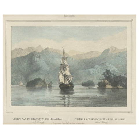
The Company · Sumatra
Antique Print of a Ship Near the Coast of Sumatra, Indonesia, c.1845
1845 · 45 × 39.5 cm£350
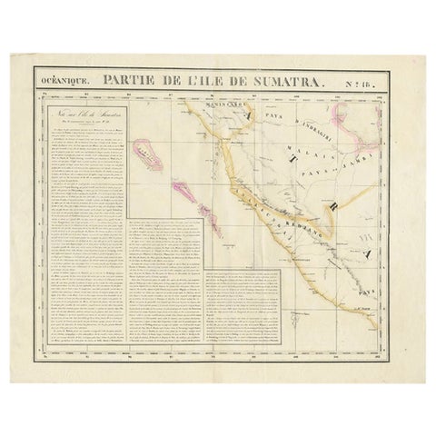
Maps and Sea Charts · Sumatra
Detailed Antique Map of the Western Sumatra, Indonesia, circa 1825
1825 · 67 × 53.5 cm£350
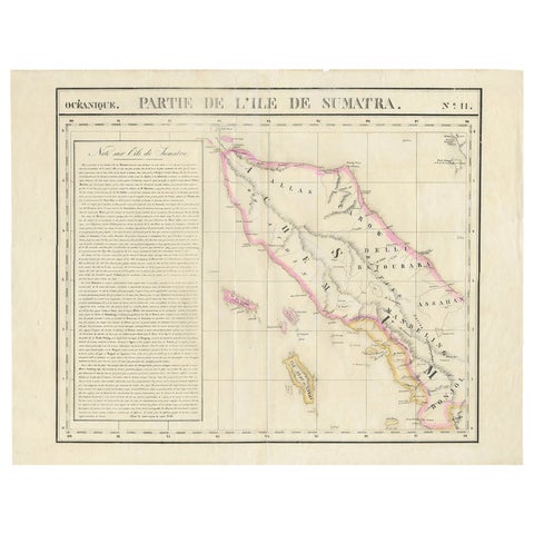
Maps and Sea Charts · Sumatra
Detailed Antique Map of Northern Sumatra, Indonesia, circa 1825
1825 · 68 × 53.5 cm£350
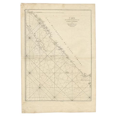
Maps and Sea Charts · Sumatra
Antique Map of the South-Western Coast of Sumatra by De la Haye, c.1780
1780 · 55 × 80 cm£340
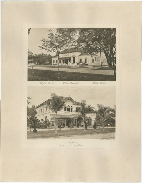
Towns and Landscapes · Sumatra
Antique Photogravures of Medan’s White Club & Restaurant de Boer, Sumatra c.1900
1900 · 45 × 34 cm£335
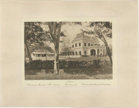
Towns and Landscapes · Sumatra
Medan Resident’s Palace, East Coast of Sumatra, Kleingrothe Photogravure c.1900
1900 · 45 × 34 cm£325
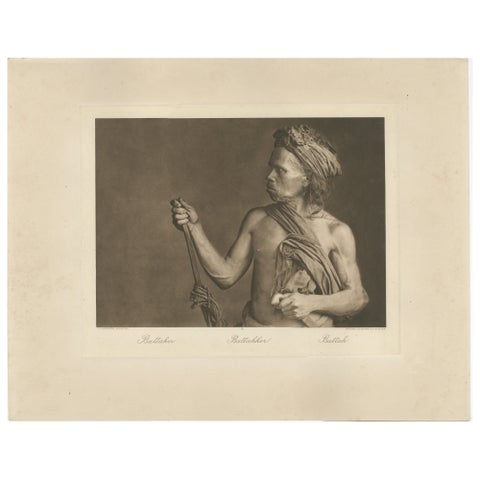
Peoples and Costume · Sumatra
Batak Warrior Portrait, Sumatra, C J Kleingrothe, Dutch East Indies c1910
1910 · 34 × 45 cm£320
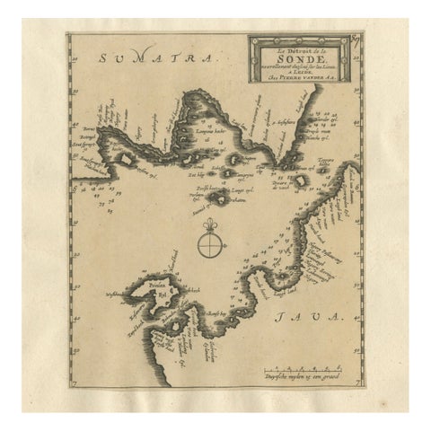
Maps and Sea Charts · Java
Sunda Strait Sea Chart, Sumatra and Java, Dutch Engraving c.1700
1700£320
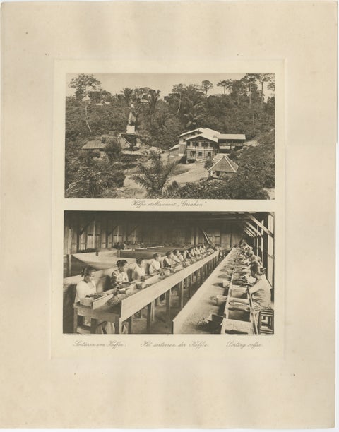
Towns and Landscapes · Sumatra
Coffee Establishment Girsahan & Sorting Coffee, Antique Photos Sumatra, c.1900
1900 · 34 × 45 cm£310
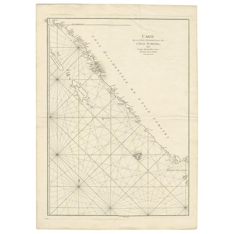
Maps and Sea Charts · Sumatra
Antique Coastal Map of Sumatra by De La Haye, circa 1780
1780 · 55.5 × 76.5 cm£305
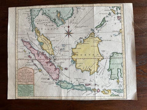
Maps and Sea Charts · Java
Original Map of the East Indies Including Sumatra, Java, Borneo & Malaysia, 1755
1755 · 33 × 24.5 cm£295