Every map and print
1,015 sheets
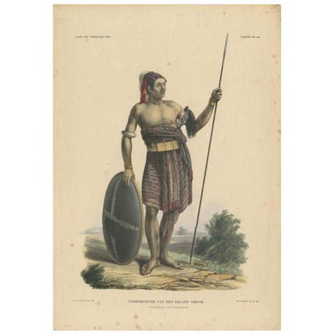
Peoples and Costume · Lesser Sunda
Antique Print with a Native of Sawu 'Indonesia' by Temminck, circa 1840
1840 · 31 × 45 cm£360
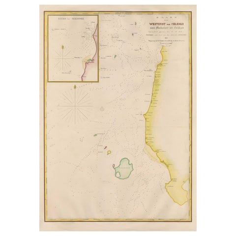
Maps and Sea Charts · Celebes
Large Antique Map of the west coast of Celebes, Sulawesi, Indonesia
1848 · 54.3 × 77.4 cm£360
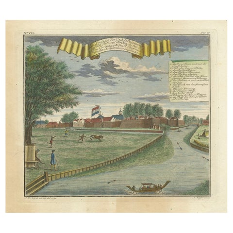
The Company · Java
Batavia Castle and Parade Ground, Hand-Colored Engraving by J.W. Heydt, 1738
1738 · 36.2 × 31 cm£360
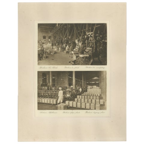
Towns and Landscapes · Sumatra
Petroleum Tin Factory & Filling Operations, Photogravure, Sumatra ca.1900
1900 · 45 × 34 cm£360
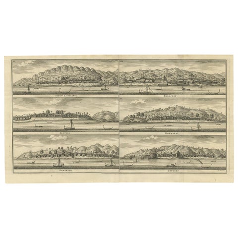
The Company
Antique Print of Trading Posts in Indonesia by Valentijn, 1726
1726 · 60.5 × 34 cm£355
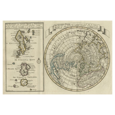
Maps and Sea Charts · Celebes
Nice Sheet of the Sangihe Archipelago in Indonesia & California Island, 1788
1788 · 30.5 × 20.5 cm£355
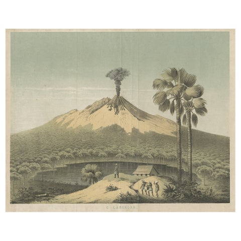
Towns and Landscapes · Java
Beautiful Lithograph of The Vulcano Gunung Lamongan, Java, Indonesia, c.1853
1853 · 30 × 25 cm£350
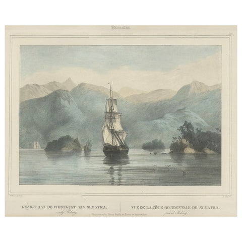
The Company · Sumatra
Antique Print of a Ship Near the Coast of Sumatra, Indonesia, c.1845
1845 · 45 × 39.5 cm£350
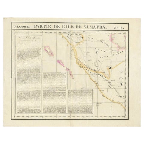
Maps and Sea Charts · Sumatra
Detailed Antique Map of the Western Sumatra, Indonesia, circa 1825
1825 · 67 × 53.5 cm£350
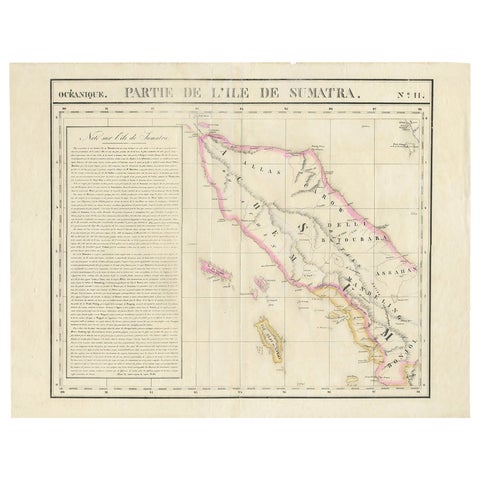
Maps and Sea Charts · Sumatra
Detailed Antique Map of Northern Sumatra, Indonesia, circa 1825
1825 · 68 × 53.5 cm£350
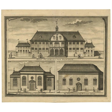
Towns and Landscapes · Java
Antique Print of the City Hall of Batavia 'Indonesia' by F. Valentijn circa 1725
1725 · 39 × 33.3 cm£345
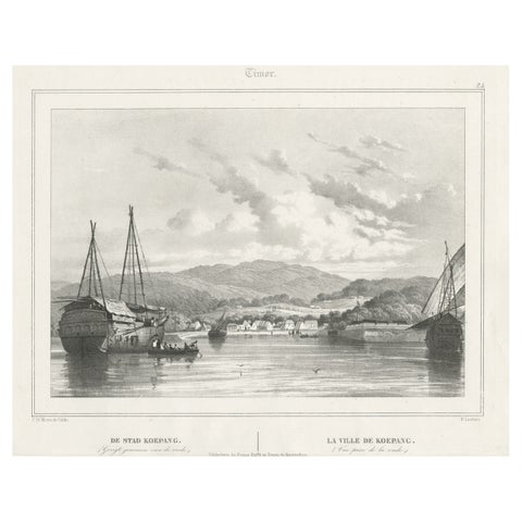
Towns and Landscapes · Lesser Sunda
Antique Print of Kupang or Koepang in the East Indies, Now West-Timor, Indonesia
Date not stated · 39.5 × 29.5 cm£345
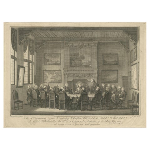
The Company
Meeting of the VOC Directors with Prince William V, Amsterdam 1768
1768 · 43 × 31.5 cm£345
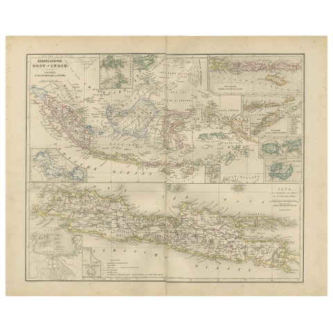
Maps and Sea Charts · Java
Netherlands East Indies Map with Java Inset, Nieuwe Hand-Atlas, 1876
1876 · 55 × 44 cm£345
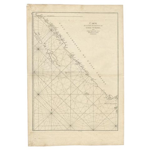
Maps and Sea Charts · Sumatra
Antique Map of the South-Western Coast of Sumatra by De la Haye, c.1780
1780 · 55 × 80 cm£340
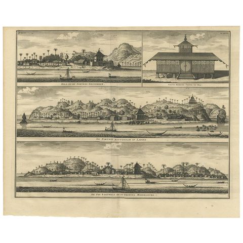
The Company · Moluccas
Antique Print of Hila and Fortresses by Valentijn '1726'
1726 · 41.5 × 34 cm£335
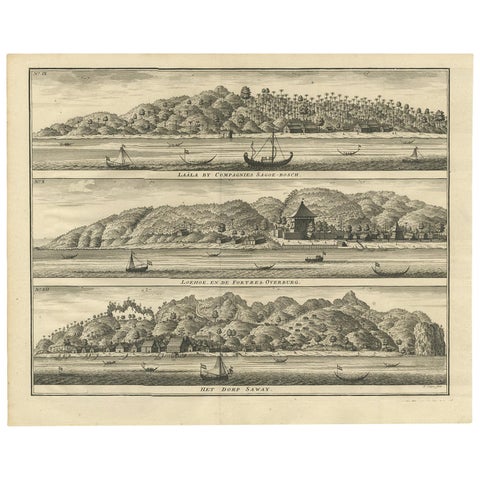
Towns and Landscapes · Moluccas
Antique Print with Three Views of Ambon by Valentijn, 1726
1726 · 42 × 34 cm£335
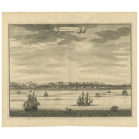
Towns and Landscapes · Celebes
Antique Print of Samboepo by Valentijn, 1726
1726 · 40 × 34 cm£335
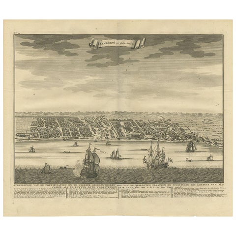
Maps and Sea Charts · Celebes
Antique Map of Samboepo by Valentijn, 1726
1726 · 40 × 34 cm£335
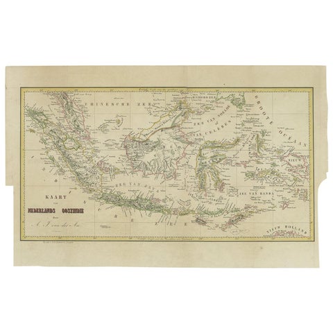
Maps and Sea Charts
Antique Map of the East Indies by Van der Aa '1849'
1849 · 57.5 × 36 cm£335
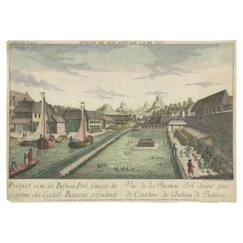
The Company · Java
Antique Print of the Pearl Bastion of Castle Batavia by Habermann 'c.1770'
1770 · 40.5 × 29 cm£335
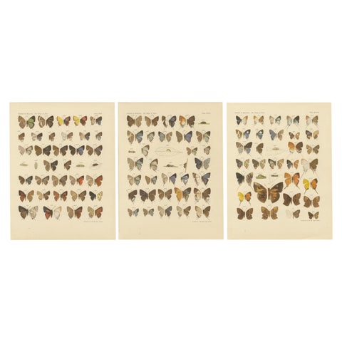
Flora and Fauna · Java
Victorian Butterfly Plates, The Rhopalocera of Java by Piepers & Snellen, 1908
1908 · 25 × 32.5 cm£335
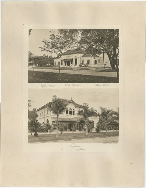
Towns and Landscapes · Sumatra
Antique Photogravures of Medan’s White Club & Restaurant de Boer, Sumatra c.1900
1900 · 45 × 34 cm£335
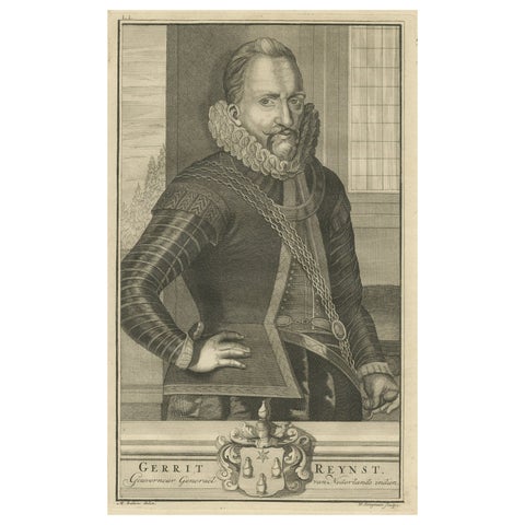
The Company
VOC Governor Gerrit Reynst: A Dutch Master of Colonial Trade, 1724 Engraving
1724 · 20.5 × 33.5 cm£335
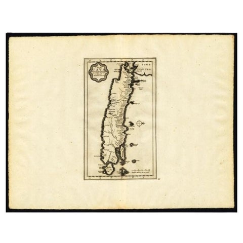
Maps and Sea Charts · Java
Antique Map of the Island of Java by Van Der Aa, 1725
1725 · 49 × 38 cm£330
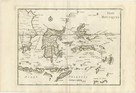
Maps and Sea Charts · Celebes
Antique Map of the Moluccas & Celebes, Le Rouge, French Engraving c.1750
1750 · 35.7 × 24.4 cm£330
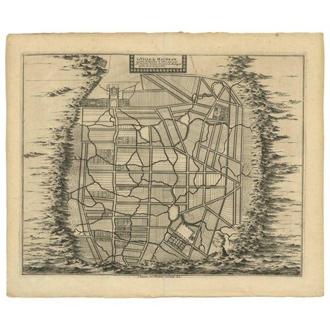
Maps and Sea Charts · Java
Antique Map of the City of Materan 'Indonesia' by P. van der Aa, circa 1725
1725 · 40.2 × 33 cm£330
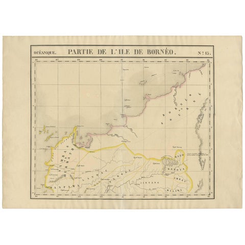
Maps and Sea Charts · Borneo
Antique Map of Borneo and Malaysia by P.M.G. Vandermaelen, 1827
1827 · 72.8 × 53 cm£330
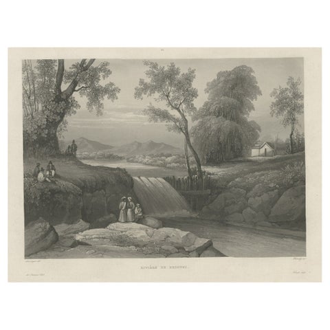
Towns and Landscapes · Java
Original Antique Print of the Bezouki or Basuki River 'Java' in Indonesia, 1835
1835 · 45 × 33.5 cm£330
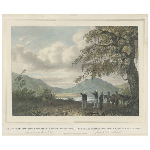
Towns and Landscapes · Java
Antique Print of a Poeloe Sari and Karang Sari Mountain, West Java, Indonesia
circa 1845 · 39 × 45 cm£325
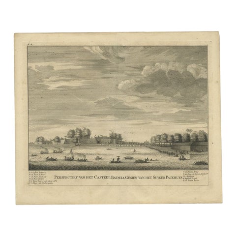
The Company · Java
Antique Print of the Castle of Batavia or Nowadays Jakarta, Indonesia, 1726
1726 · 33 × 39.5 cm£325
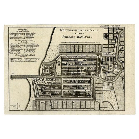
Maps and Sea Charts · Java
Antique Plan of Batavia and the Castle in the Dutch East Indies, 1763
1763 · 33 × 22.9 cm£325
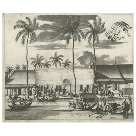
Towns and Landscapes · Java
Old Print of the Spinning House in Batavia, Nowadays Jakarta, Indonesia, 1682
1682 · 37 × 31 cm£325
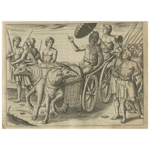
Peoples and Costume · Lesser Sunda
Earliest Depiction of Bali, Dutch Engraving of the King of Bali, c.1601
1601 · 18.2 × 24 cm£325
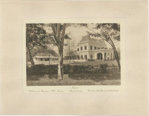
Towns and Landscapes · Sumatra
Medan Resident’s Palace, East Coast of Sumatra, Kleingrothe Photogravure c.1900
1900 · 45 × 34 cm£325
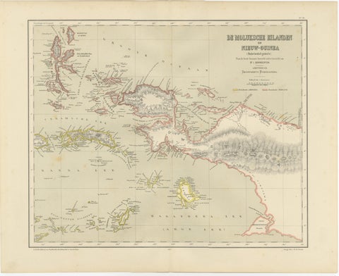
Maps and Sea Charts · Moluccas
Antique Colonial Dutch Map of the Moluccas & New Guinea by Dornseiffen, 1884
1884 · 48.5 × 39 cm£325
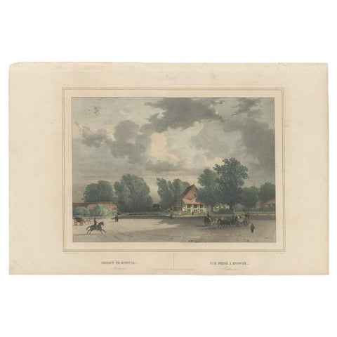
Towns and Landscapes · Java
Old Print of Rijswijk, an Area in Old Batavia, Nowadays Jakarta, Indonesia, 1844
1844 · 47 × 31 cm£320
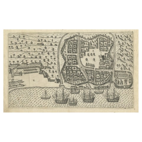
Towns and Landscapes · Java
Antique Print of Bantam, Java, Indonesia by De Bry, c.1610
1610 · 31 × 20 cm£320
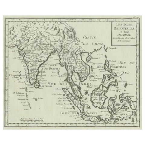
Maps and Sea Charts
Antique Map of India, the East Indies and the Philippines
circa 1760 · 25 × 20.2 cm£320
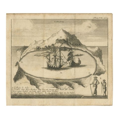
The Company · Lesser Sunda
Rare 17th Century Engraving of Solor Island Fort and Bay, Indonesia, circa 1670
1670 · 18.2 × 15.8 cm£320
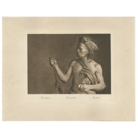
Peoples and Costume · Sumatra
Batak Warrior Portrait, Sumatra, C J Kleingrothe, Dutch East Indies c1910
1910 · 34 × 45 cm£320
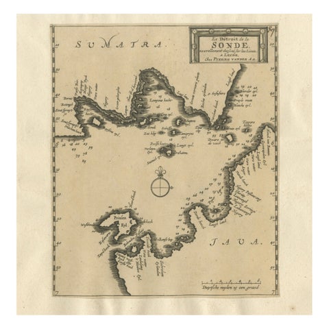
Maps and Sea Charts · Java
Sunda Strait Sea Chart, Sumatra and Java, Dutch Engraving c.1700
1700£320
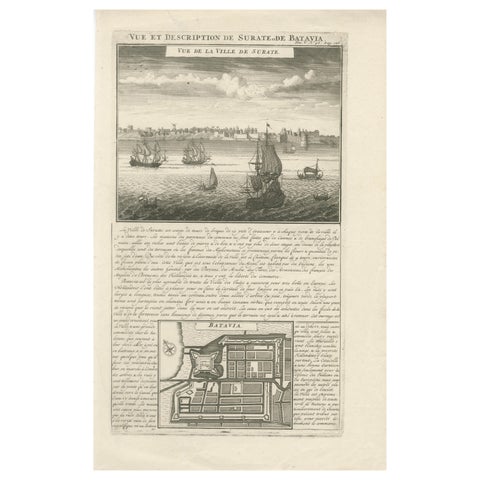
Maps and Sea Charts · Java
Antique View of Surat & Plan of Batavia, VOC India & Indonesia, Chatelain, 1719
1719 · 28 × 44 cm£320
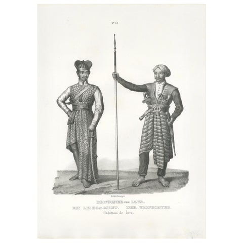
Peoples and Costume · Java
Antique Print of Inhabitants of Java (Indonesia) by Honegger (1845)
1845 · 26 × 35 cm£315
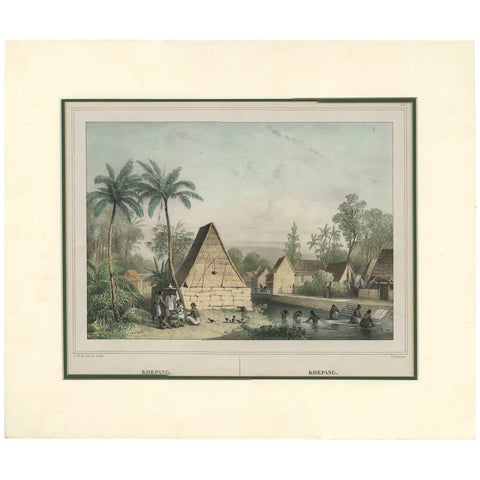
Towns and Landscapes · Lesser Sunda
Antique Print of Koepang 'Timor, Indonesia' by C.W.M. Van De Velde, 1844
1844 · 46.3 × 39 cm£315
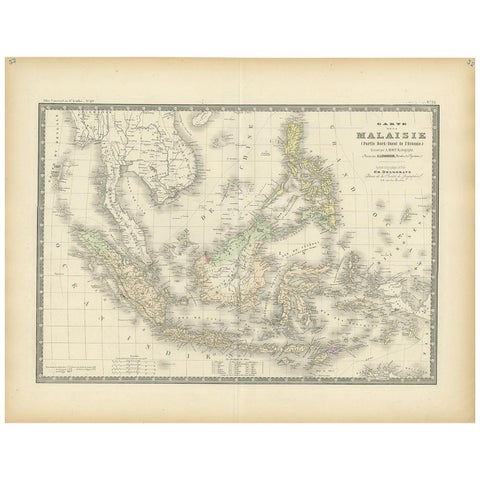
Maps and Sea Charts
Antique Map of the East Indies by Levasseur, 1875
1875 · 61 × 47.5 cm£310
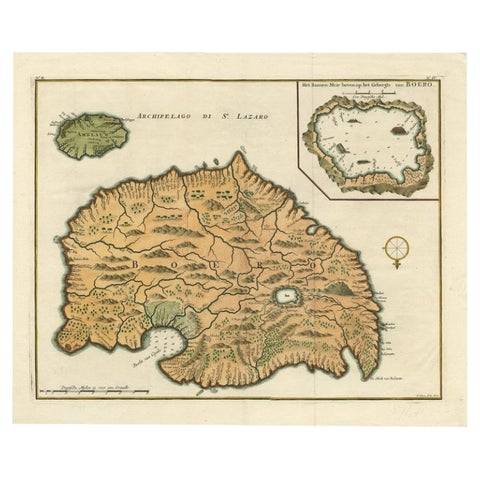
Maps and Sea Charts · Moluccas
Antique Map of Ambelau and Buru Island, Maluku or Moluccas in Indonesia, 1726
1726 · 42.7 × 34.8 cm£310
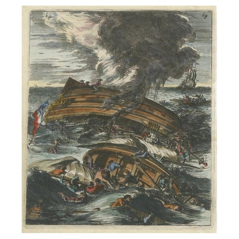
The Company
Capsizing Warships, Hand-Colored Etching of Schouten’s East Indian Voyage, 1676
1676 · 16 × 21 cm£310