Every map and print
1,015 sheets
The Company · Java
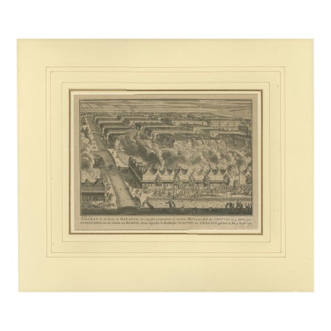
1740 Batavia Chinese Massacre Engraving, Dutch Colonial Indonesia
1740 · 48 × 41 cm£450
Maps and Sea Charts · Java
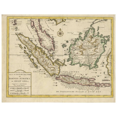
Antique Map of the Sunda Islands Sumatra, Java, Malay Peninsula & Borneo (1739)
1739 · 39.5 × 31 cm£450
Peoples and Costume · Lesser Sunda
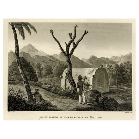
Antique Print of the Tomb of the Raja of Taybeno on the Island Timor, 1825
1825 · 50 × 34 cm£445
The Company · Java
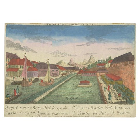
Rare Print of the Pearl Bastion of Castle Batavia in the Dutch East Indies, 1770
1770 · 40 × 29 cm£445
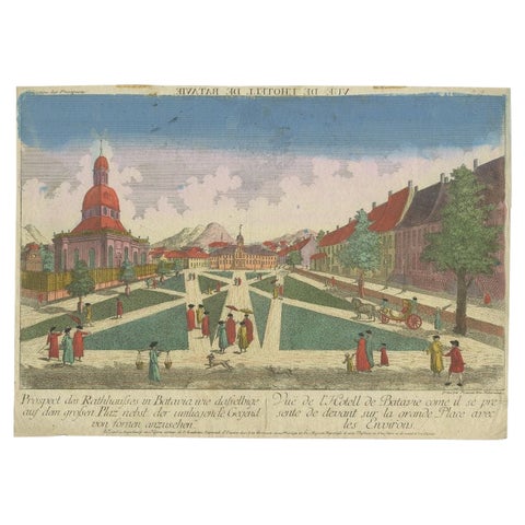
Towns and Landscapes · Java
Old Print of the Town Hall of Batavia 'Jakarta' in the Dutch East Indies, 1770
1770 · 40 × 29 cm£445
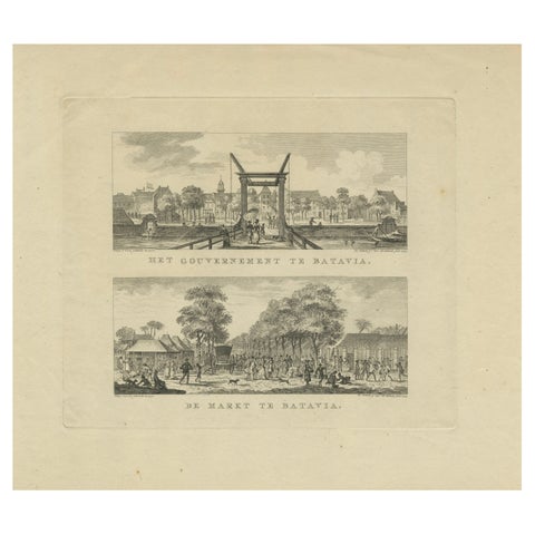
The Company · Java
Batavia Market Scenes & Government House, Antique Prints VOC Period, c.1780
1780 · 41.2 × 33 cm£445
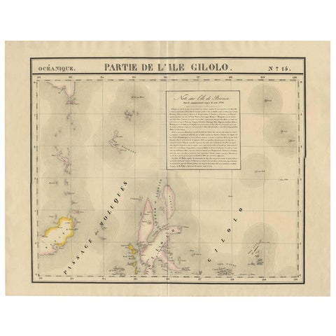
Maps and Sea Charts · Celebes
Antique Map of Southern Mindanao, Sulawesi and Gilolo Halmahera, Indonesia, 1827
1827 · 68 × 53 cm£435
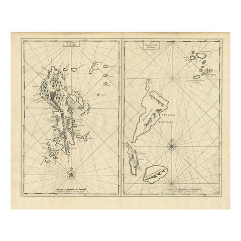
Maps and Sea Charts · Celebes
Antique Map of Sangir Island and the Talaud Islands by Valentijn, 1726
1726 · 64 × 52 cm£435
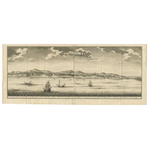
Towns and Landscapes · Moluccas
Antique Print of Ambon, Indonesia by Valentijn, 1726
1726 · 80 × 34 cm£435
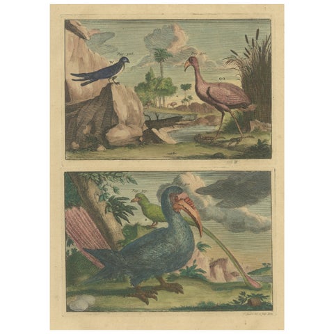
Flora and Fauna
Colored Antique Print of a Swallow, Kingfisher and other Birds of Indonesia
Date not stated · 20.5 × 33.5 cm£435
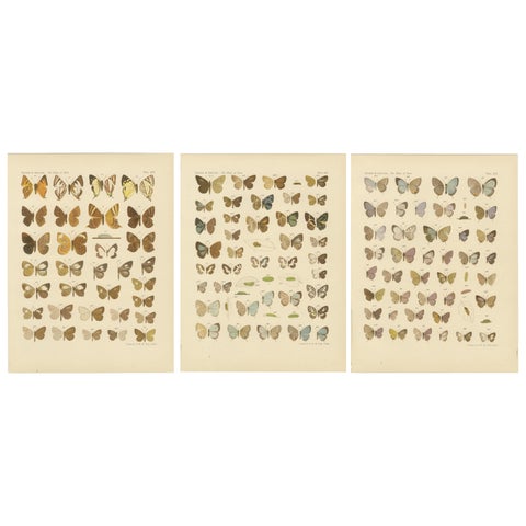
Flora and Fauna · Java
Javanese Butterflies, Three Antique Chromolithograph Plates, Java 1908 to 1910
1908 · 25 × 32.5 cm£435
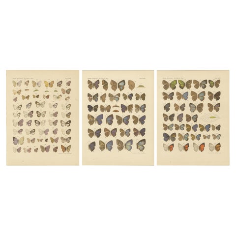
Flora and Fauna · Java
Rare Antique Butterfly Prints, Javanese Species, Set of Three Plates, 1908
1908 · 25 × 32.5 cm£435
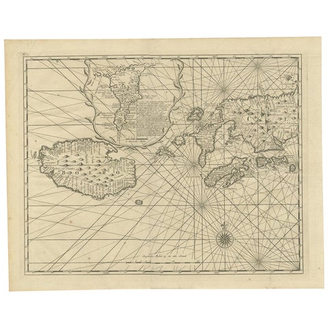
Maps and Sea Charts · Moluccas
Antique Map of Ambon and Boero by Valentijn, 1726
1726 · 42.5 × 34 cm£420
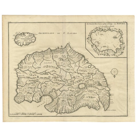
Maps and Sea Charts · Moluccas
Antique Map of Boero in Indonesia by Valentijn, 1726
1726 · 42 × 34 cm£420
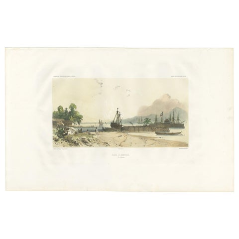
Towns and Landscapes · Moluccas
Antique Print of the Port of Ambon by D'Urville, circa 1850
1850 · 51.5 × 32 cm£420
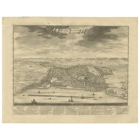
Towns and Landscapes · Java
Antique Print of Bantam or Banten, Java, Indonesia, '1726'
1726 · 42.5 × 33 cm£420
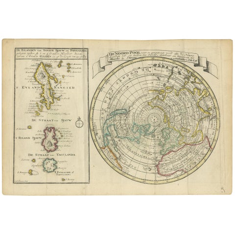
Maps and Sea Charts · Celebes
Antique Map of the North Pole & Sangihe Archipelago by Keizer & de Lat, 1788
1788 · 30 × 20.5 cm£420
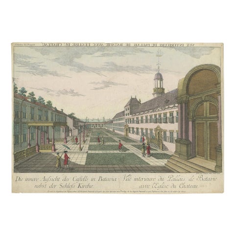
The Company · Java
Antique Print of the Inner Courtyard of the Castle at Batavia by Habermann
circa 1770 · 40.5 × 28.5 cm£420
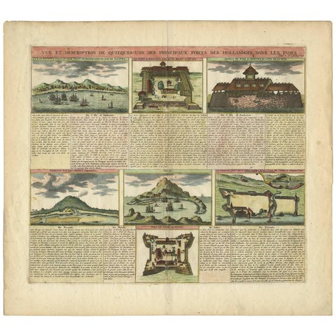
The Company
Antique Print of Dutch V.O.C. Trading Outposts and Forts in the East Indies
Date not stated · 51.5 × 46.2 cm£415
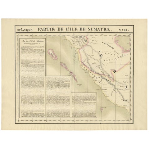
Maps and Sea Charts · Sumatra
Antique Map of West Sumatra by P.M.G. Vandermaelen, 1827
1827 · 69.6 × 53.4 cm£415
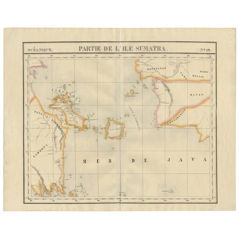
Maps and Sea Charts · Sumatra
Antique Map of South Sumatra by P.M.G. Vandermaelen, 1827
1827 · 67.4 × 53 cm£415
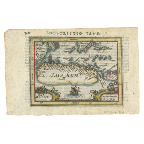
Maps and Sea Charts · Java
Rare 16th Century Original Handcolored Miniature Map of Java, Indonesia, 1616
1616 · 19 × 12.5 cm£410
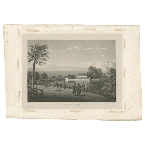
Towns and Landscapes · Java
Antique Print of the Governor's House in Surabaya, Indonesia, 1835
1835 · 49 × 34 cm£410
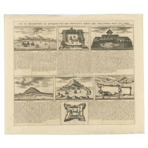
Maps and Sea Charts
Antique Print of Forts and Views of the East Indies or Nowadays Indonesia, 1719
1719 · 49.5 × 42.5 cm£410
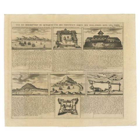
Maps and Sea Charts
Antique Print of Forts and Views of the East Indies by Chatelain (1719)
1719 · 51 × 43.5 cm£410
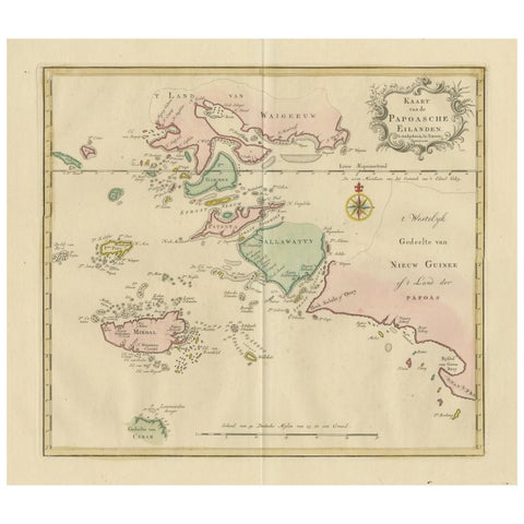
Maps and Sea Charts · Moluccas
Antique Map extending from the Spice Islands to the west of Papua New Guinea
Date not stated · 55 × 44 cm£410
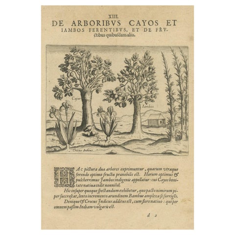
Flora and Fauna
Exotic Flora of the Indies: The Cajus and Jambos Trees Copper Engraved in 1601
1601 · 20 × 30 cm£410
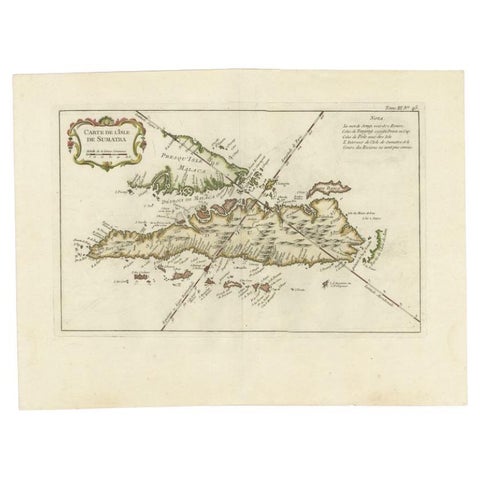
Maps and Sea Charts · Sumatra
Antique Map of Sumatra by Bellin, 1764
1764 · 43.5 × 32.5 cm£405
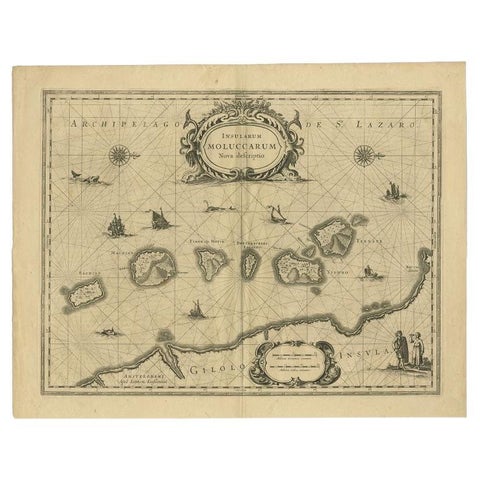
Maps and Sea Charts · Moluccas
Antique Map of the Moluccas in Indonesia by Janssonius, C.1650
1650 · 56.5 × 44.3 cm£405
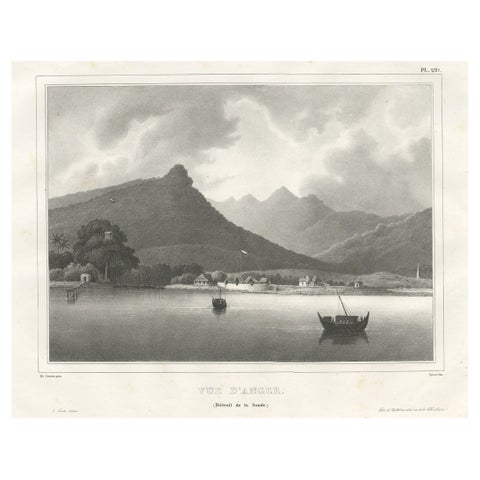
Towns and Landscapes · Java
Old Print of the City of Anyer, West-Java Near Krakatau Volcano, Indonesia, 1833
1833 · 52.5 × 35 cm£400
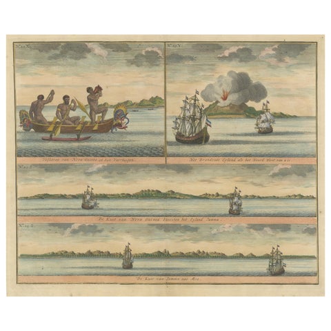
Towns and Landscapes · New Guinea
Colored Antique Print of New Guinea Fishermen and views of New Guinea
Date not stated · 39.5 × 33.5 cm£400
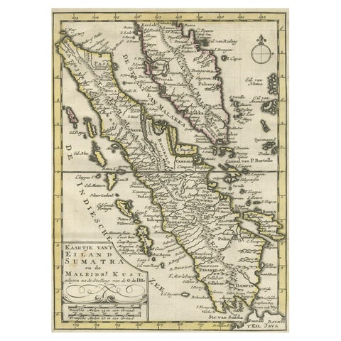
Maps and Sea Charts · Sumatra
Authentic Old Map of Sumatra, Malaysia and Singapore, 1745
1745 · 24 × 17 cm£400
Flora and Fauna
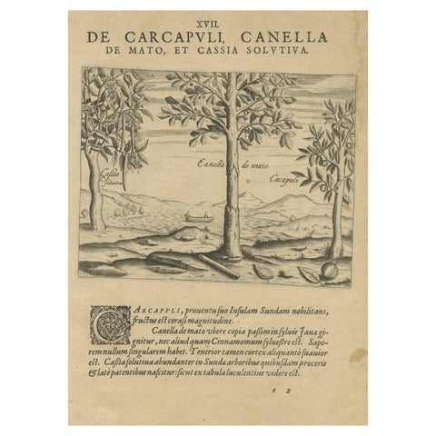
Spices of the Tropics: Cinnamon and Cassia in De Bry's 1601 Illustration
1601 · 20 × 30 cm£400
Towns and Landscapes · Java
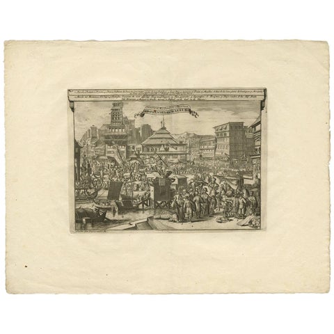
Antique Print of Trade and Merchandise at Bantam, Indonesia by P. Van Der Aa
Date not stated · 49.5 × 38.5 cm£400
Maps and Sea Charts · Sumatra
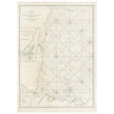
Antique Sea Chart by J. B. d'Apres de Mannevillette, Sumatra, 1780
1780 · 53 × 76.7 cm£395
Maps and Sea Charts
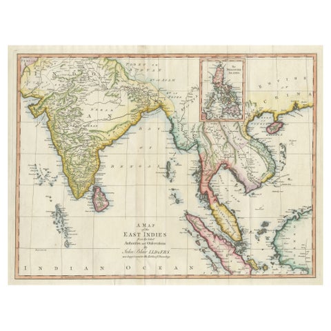
Antique Map of the East Indies by T. Kitchin, Engraved, Circa 1779
1779 · 60.7 × 46.8 cm£395
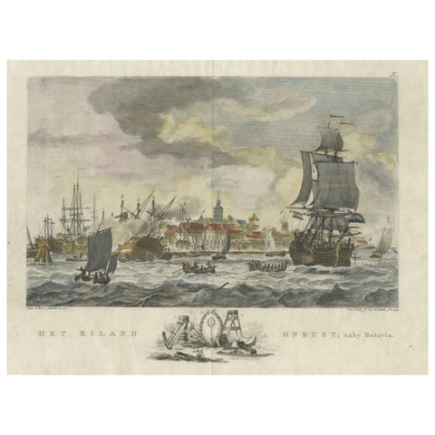
The Company · Java
1779 View of Onrust Island Near Batavia with VOC Shipyard Activity
1779 · 35.4 × 25.5 cm£395
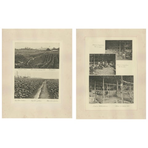
Towns and Landscapes · Sumatra
Sumatra Tobacco Cultivation & Drying Barns, Deli Estates Photographic Pair 1910
1910 · 34 × 45 cm£395
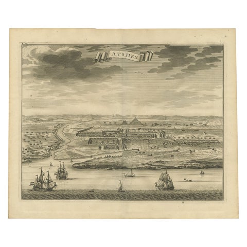
Towns and Landscapes · Sumatra
Antique Bird's Eye-view Atjien or Atjeh in Aceh in Northern Sumatra, Indonesia
Date not stated · 41 × 34 cm£385
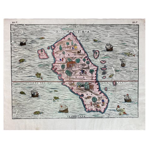
Maps and Sea Charts · Sumatra
1606 Hand-Colored Woodcut Map of Sumatra from Ramusio’s Delle Navigationi
1606 · 41 × 32 cm£385
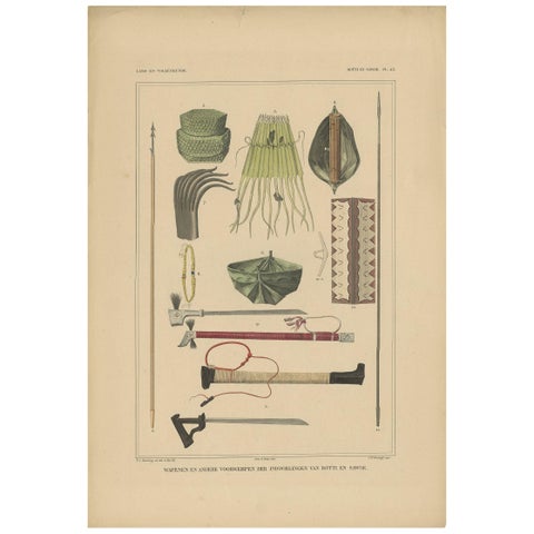
Peoples and Costume · Lesser Sunda
Print Weapons and Tools of Roti & Sawoe 'Indonesia' by Temminck, circa 1840
1840 · 31 × 45 cm£375
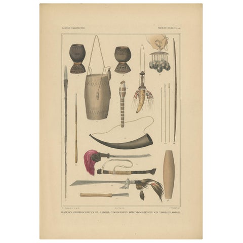
Peoples and Costume · Lesser Sunda
Print Weapons and Tools of Timor & Solor 'Indonesia' by Temminck, circa 1840
1840 · 31 × 45 cm£375
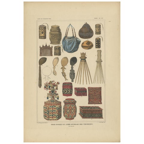
Peoples and Costume · Lesser Sunda
Antique Print with Various Furniture of Timor ‘Indonesia’, Temminck, circa 1840
1840 · 31 × 45 cm£375
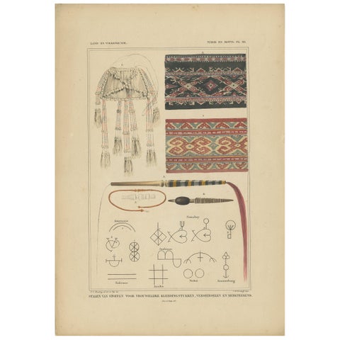
Peoples and Costume · Lesser Sunda
Antique Print with Fabrics of Timor and Rotti 'Indonesia', Temminck, circa 1840
1840 · 31 × 45 cm£375
Peoples and Costume · New Guinea
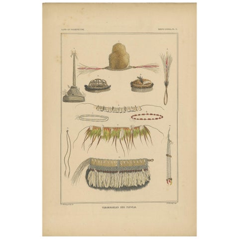
Print with Papua Decoration 'New Guinea, Indonesia' by Temminck, circa 1840
1840 · 31 × 45 cm£375
Peoples and Costume · Borneo
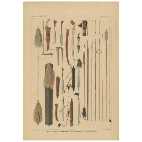
Antique Print with Weapons of Borneo 'Indonesia' by Temminck, circa 1840
1840 · 31 × 45 cm£375
Peoples and Costume · Borneo
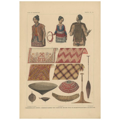
Print with Clothes and Utensils of Borneo 'Indonesia' by Temminck, circa 1840
1840 · 31 × 45 cm£375
Peoples and Costume · Borneo
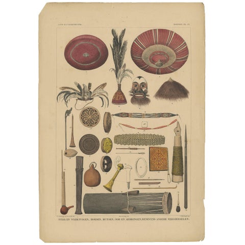
Antique Print with Tools from Borneo 'Indonesia' by Temminck, circa 1840
1840 · 31 × 45 cm£375