By island · Taprobana
Sumatra
Sumatra with Aceh, Padang, Palembang and Medan, the Riau and Bangka islands, and the tobacco plantations of Deli.
147 sheets
Maps and Sea Charts · Sumatra
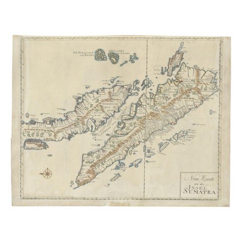
Antique Map of Sumatra, Indonesia 'c.1780'
1780 · 63 × 49.5 cm£2,930
Maps and Sea Charts · Java
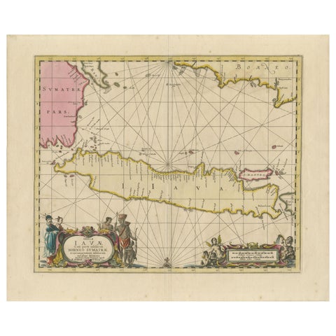
Antique Map of Java, Sumatra & Borneo, Dutch East Indies Sea Chart c.1700
1700 · 61.5 × 51.2 cm£1,885
Towns and Landscapes · Java
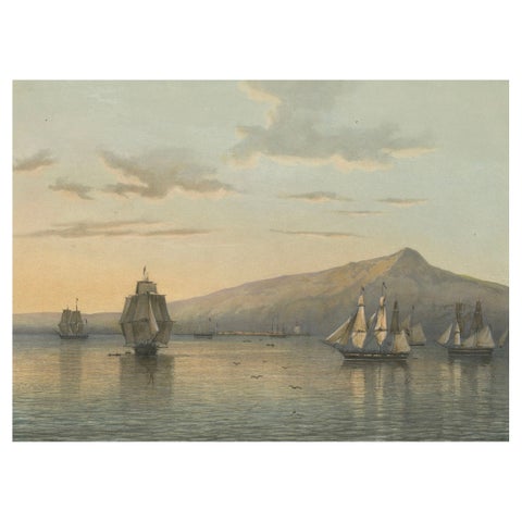
View of Anjer near the Krakatoa Volcano, Sunda Strait, Java Lithograph, 1872
1872 · 37 × 26 cm£1,635
Maps and Sea Charts · Sumatra
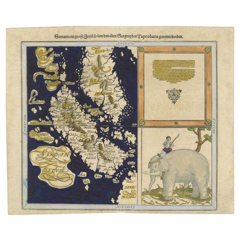
Renaissance Mapping of Sumatra: Featuring Singapore in Münster’s Woodcut, c.1590
1590 · 41.5 × 34 cm£1,215
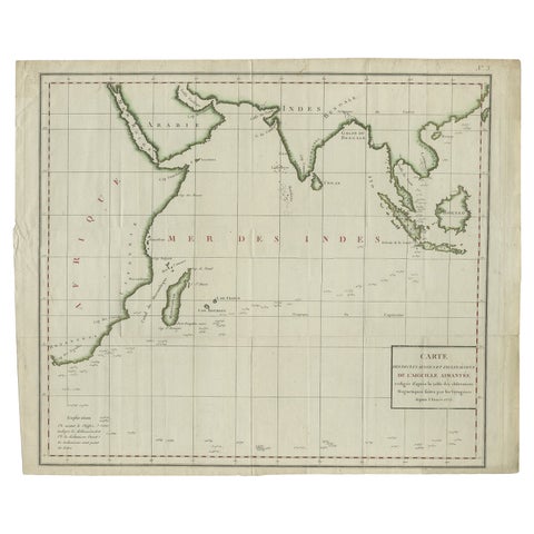
Maps and Sea Charts · Java
Old Map of Indian Ocean & Sumatra, Java, Borneo, India, Arabia, Africa, c.1783
1783 · 64.5 × 53 cm£1,170
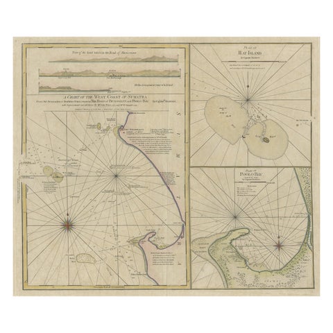
Maps and Sea Charts · Sumatra
Early Chart Identifying British Spice Trading Colony of Bencoolen, Sumatra, 1797
1797 · 71 × 57.5 cm£1,045
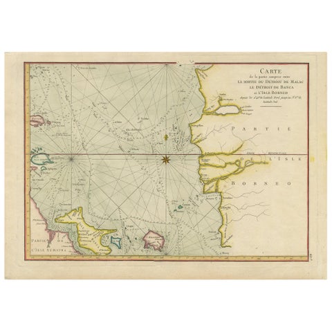
Maps and Sea Charts · Sumatra
Antique Map of the Malacca and Bangka Strait by De Mannevillette '1775'
1775 · 55 × 39.5 cm£1,005
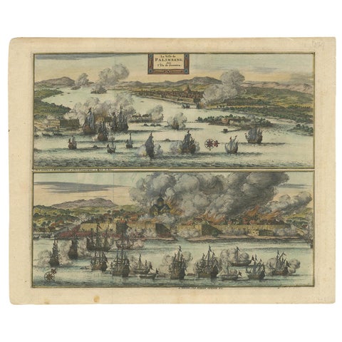
The Company · Sumatra
Antique Print of the Dutch VOC Bombing Palembang, Sumatra (Indonesia), ca.1700
1700 · 40 × 32.5 cm£795
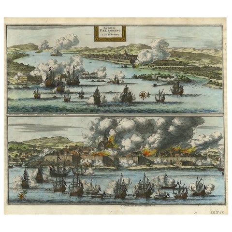
The Company · Sumatra
Decorative Engraving of VOC Battle Ships Attacking Palembang in Sumatra, ca.1700
1700 · 35.7 × 31.3 cm£745
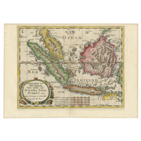
Maps and Sea Charts · Java
Antique Map of the Sunda Islands Including Sumatra, Java, and Borneo, 1705
1705 · 30.2 × 22 cm£720
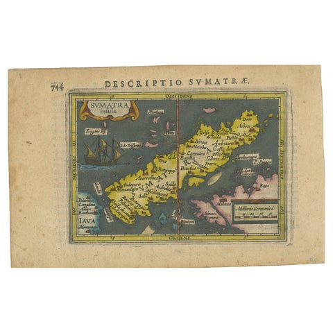
Maps and Sea Charts · Sumatra
1616 Bertius Map of Sumatra, Singapore and the Straits of Malacca
1616 · 19 × 12 cm£705
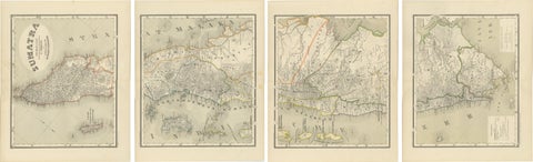
Maps and Sea Charts · Sumatra
An Impressive Four-Sheet Map Set of Sumatra from the Dutch East Indies, 1884
1884 · 39 × 48.5 cm£645

Maps and Sea Charts · Java
Rare Small Map of Sumatra, Java, Borneo, Macassar, Madura, Bali, 1614
1614 · 24 × 18 cm£630
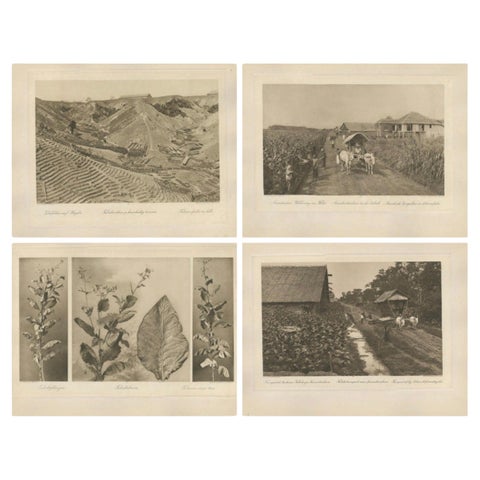
Towns and Landscapes · Sumatra
Set of 4 Tobacco Industry Photogravures, Sumatra’s O.K., C.J. Kleingrothe, 1910
1910 · 34 × 45 cm£620
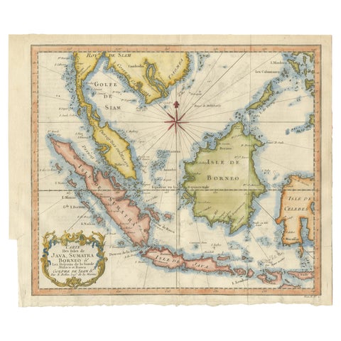
Maps and Sea Charts · Java
Java, Sumatra & Borneo Map, Bellin & van Schley Decorative Chart, 1750s
Date not stated · 32 × 26.5 cm£545
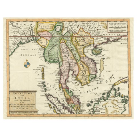
Maps and Sea Charts · Sumatra
Antique Map of Indochina, the Malaysian Peninsula and Northern Sumatra
Date not stated · 45 × 31.2 cm£535
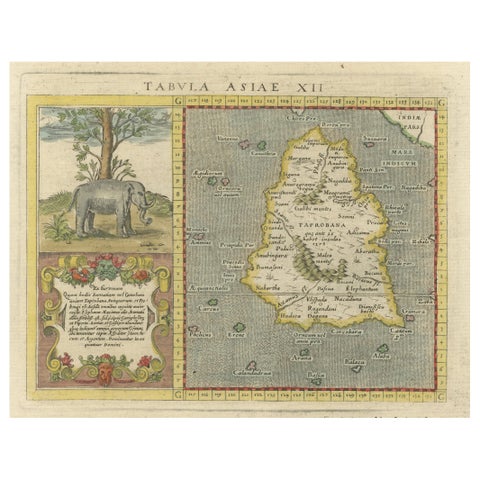
Maps and Sea Charts · Sumatra
1621 Ptolemy & Magini Map of Taprobana (Sumatra) with Elephant Inset
1621 · 19 × 28 cm£520
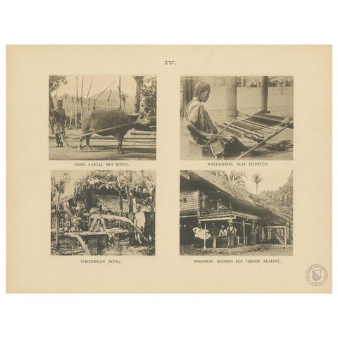
Peoples and Costume · Sumatra
Twelve Prints of Aceh 'Atjeh' Published by E.J. Brill, '1895'
1895 · 25 × 32.5 cm£500
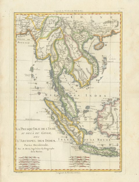
Maps and Sea Charts · Java
Elegant 18th Century Map of Southeast Asia, Siam, Sumatra & Java by Bonne, 1787
1787 · 31.5 × 45 cm£485
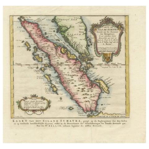
Maps and Sea Charts · Sumatra
Rare 1770 Bellin Map of Sumatra with Stunning Decorative Cartouches
1770 · 34.5 × 33.2 cm£460
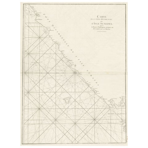
Maps and Sea Charts · Sumatra
Sea Chart of Part of the Southwestern Coast of Sumatra & Nias, Indonesia, C1775
1775 · 55 × 78 cm£450
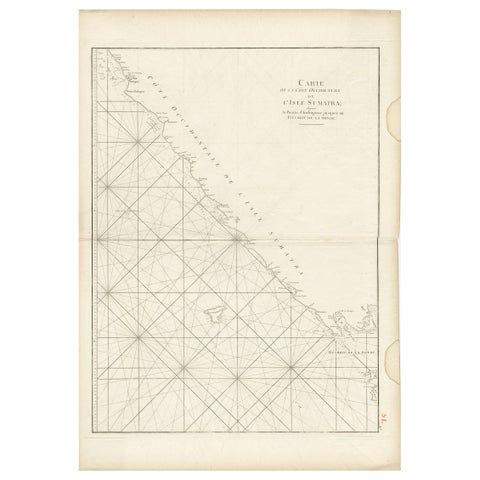
Maps and Sea Charts · Sumatra
Antique Sea Chart of the Coast of Sumatra, Indonesia, circa 1775
1775 · 55 × 78 cm£450
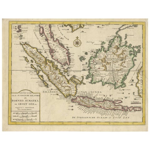
Maps and Sea Charts · Java
Antique Map of the Sunda Islands Sumatra, Java, Malay Peninsula & Borneo (1739)
1739 · 39.5 × 31 cm£450
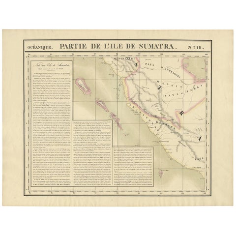
Maps and Sea Charts · Sumatra
Antique Map of West Sumatra by P.M.G. Vandermaelen, 1827
1827 · 69.6 × 53.4 cm£415
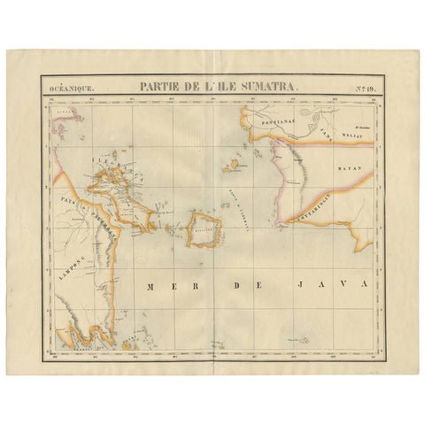
Maps and Sea Charts · Sumatra
Antique Map of South Sumatra by P.M.G. Vandermaelen, 1827
1827 · 67.4 × 53 cm£415
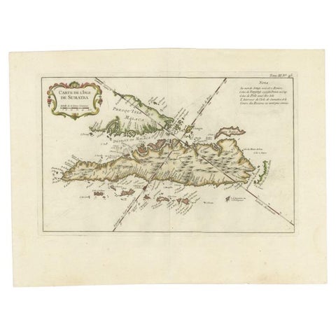
Maps and Sea Charts · Sumatra
Antique Map of Sumatra by Bellin, 1764
1764 · 43.5 × 32.5 cm£405
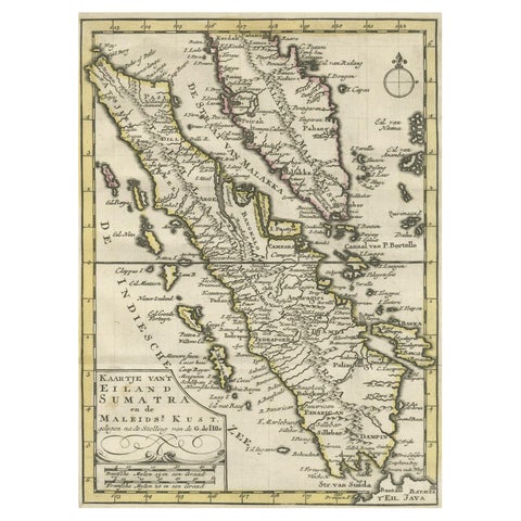
Maps and Sea Charts · Sumatra
Authentic Old Map of Sumatra, Malaysia and Singapore, 1745
1745 · 24 × 17 cm£400
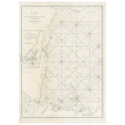
Maps and Sea Charts · Sumatra
Antique Sea Chart by J. B. d'Apres de Mannevillette, Sumatra, 1780
1780 · 53 × 76.7 cm£395
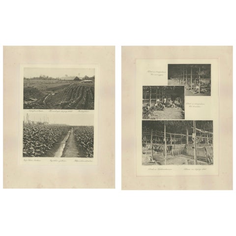
Towns and Landscapes · Sumatra
Sumatra Tobacco Cultivation & Drying Barns, Deli Estates Photographic Pair 1910
1910 · 34 × 45 cm£395
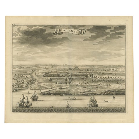
Towns and Landscapes · Sumatra
Antique Bird's Eye-view Atjien or Atjeh in Aceh in Northern Sumatra, Indonesia
Date not stated · 41 × 34 cm£385
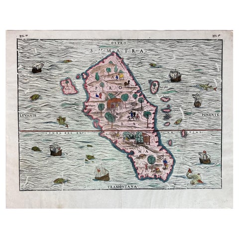
Maps and Sea Charts · Sumatra
1606 Hand-Colored Woodcut Map of Sumatra from Ramusio’s Delle Navigationi
1606 · 41 × 32 cm£385
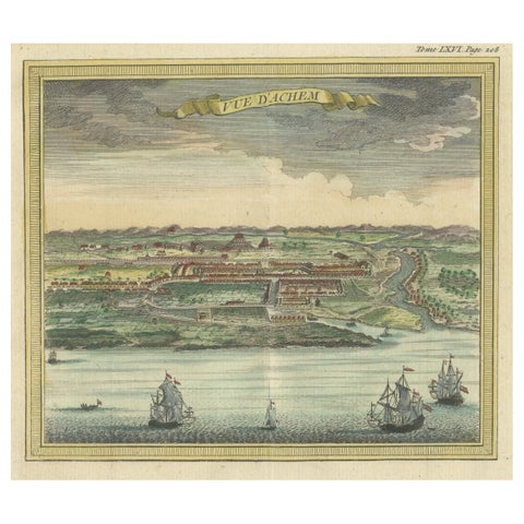
Towns and Landscapes · Sumatra
Antique Print with a View of Aceh, Sumatra in Indonesia
1766 · 15.5 × 15.5 cm£370
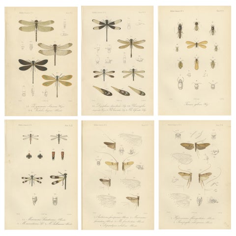
Flora and Fauna · Sumatra
Set of 6 Antique 1887 Sumatra Dragonfly and Insect Lithographs, Fauna Studies
1887 · 17.5 × 26.3 cm£370
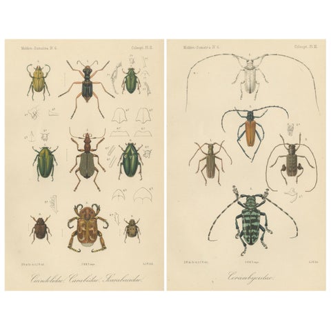
Flora and Fauna · Sumatra
Set of 2 Antique Beetle Prints, Scarab, Ground & Longhorn Beetles, Sumatra 1887
1887 · 17.5 × 26.3 cm£370
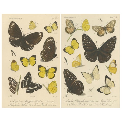
Flora and Fauna · Sumatra
Antique Butterfly Prints (Set of 2), Sumatra Lepidoptera c.1887
1887 · 17.5 × 26.3 cm£370
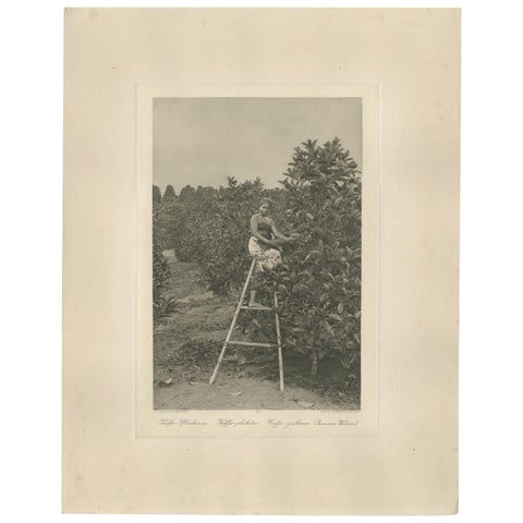
Peoples and Costume · Sumatra
Coffee Picker Portrait, Deli Plantations, Sumatra, Dutch East Indies, c.1900
1900 · 34 × 45 cm£370
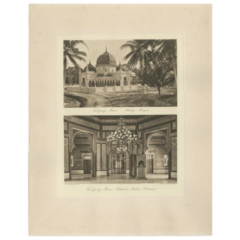
Towns and Landscapes · Sumatra
Malay Mosque Tandjong Poera, Original 1900s Photogravure, Sumatra Indonesia
circa 1890 · 45 × 34 cm£370
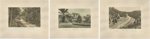
Towns and Landscapes · Sumatra
Set of 3 Antique Photogravures of Sumatra Plantations, Deli, Medan Region, 1900
1900 · 45 × 34 cm£370
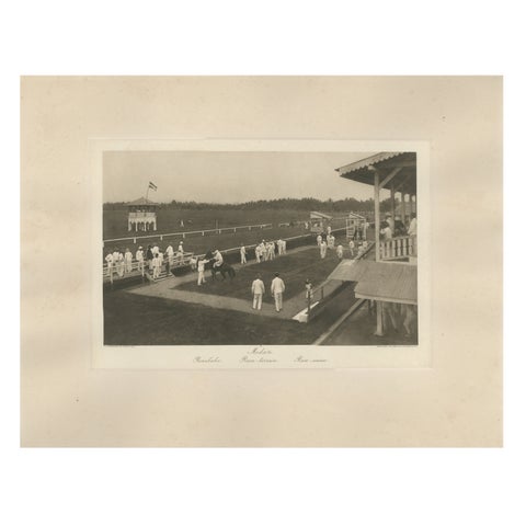
Towns and Landscapes · Sumatra
Medan Race-Course, Colonial Era Horse Racing Scene, Antique Photogravure c.1900
1900 · 45 × 34 cm£370
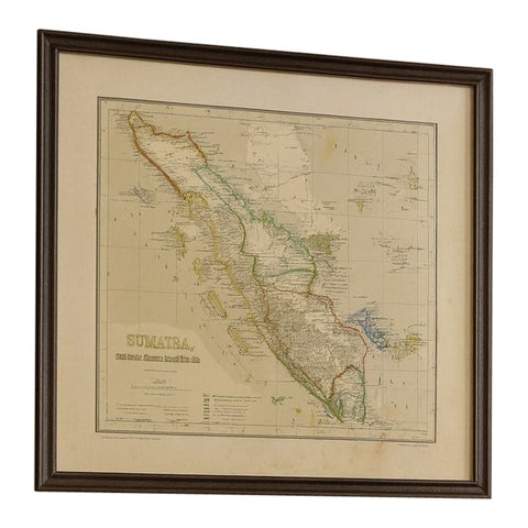
Maps and Sea Charts · Sumatra
Antique Map of Sumatra, Bangka Belitung and Riau in the Dutch East Indies, 1884
1884 · 48.5 × 39 cm£370
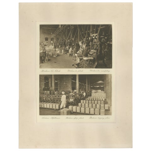
Towns and Landscapes · Sumatra
Petroleum Tin Factory & Filling Operations, Photogravure, Sumatra ca.1900
1900 · 45 × 34 cm£360
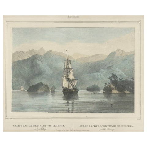
The Company · Sumatra
Antique Print of a Ship Near the Coast of Sumatra, Indonesia, c.1845
1845 · 45 × 39.5 cm£350
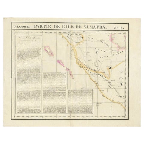
Maps and Sea Charts · Sumatra
Detailed Antique Map of the Western Sumatra, Indonesia, circa 1825
1825 · 67 × 53.5 cm£350
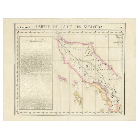
Maps and Sea Charts · Sumatra
Detailed Antique Map of Northern Sumatra, Indonesia, circa 1825
1825 · 68 × 53.5 cm£350
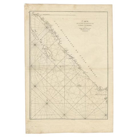
Maps and Sea Charts · Sumatra
Antique Map of the South-Western Coast of Sumatra by De la Haye, c.1780
1780 · 55 × 80 cm£340
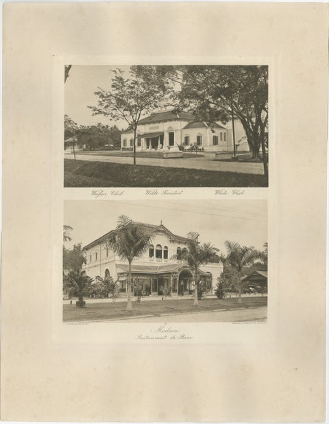
Towns and Landscapes · Sumatra
Antique Photogravures of Medan’s White Club & Restaurant de Boer, Sumatra c.1900
1900 · 45 × 34 cm£335
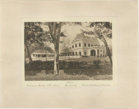
Towns and Landscapes · Sumatra
Medan Resident’s Palace, East Coast of Sumatra, Kleingrothe Photogravure c.1900
1900 · 45 × 34 cm£325
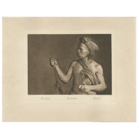
Peoples and Costume · Sumatra
Batak Warrior Portrait, Sumatra, C J Kleingrothe, Dutch East Indies c1910
1910 · 34 × 45 cm£320
Sumatra in maps and prints
Renaissance mapmakers sometimes took Sumatra for Taprobana, the great island of Ptolemy that is in fact Sri Lanka, and the woodcuts of Münster and Ramusio carry the confusion. Later maps chart the pepper ports of the west coast, the British post at Bencoolen and the long war with Aceh.
C.J. Kleingrothe's photogravures of about 1900 to 1910 record Medan and the Deli plantations as the new tobacco wealth built them: estates, drying barns, railway stations and the palaces of the sultans.
Other islands
Questions
What are the Kleingrothe photogravures?
Plates printed by photogravure, an ink process that reproduces a photograph with fine tone, from the photographs C.J. Kleingrothe made in East Sumatra around 1900 to 1910. They are period prints, not modern photographic copies.