The Company: 1700 to 1799
Maps and prints of the East Indies printed between 1700 and 1799. Every one a period original.
318 sheets
The Company · Java
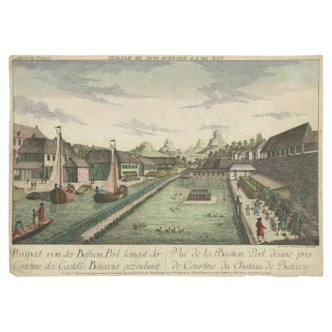
Antique Print of the Pearl Bastion of Castle Batavia by Habermann 'c.1770'
1770 · 40.5 × 29 cm$450
The Company
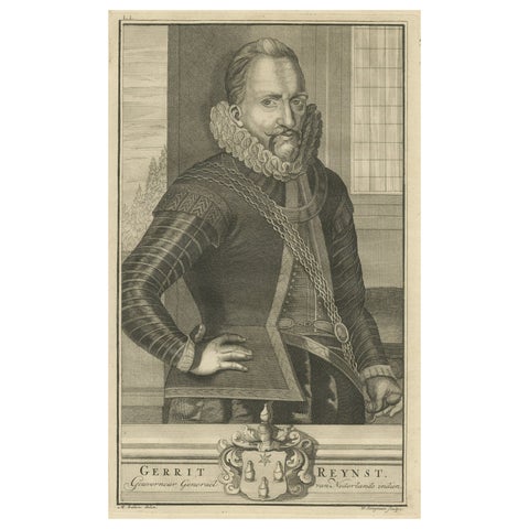
VOC Governor Gerrit Reynst: A Dutch Master of Colonial Trade, 1724 Engraving
1724 · 20.5 × 33.5 cm$445
Maps and Sea Charts · Java
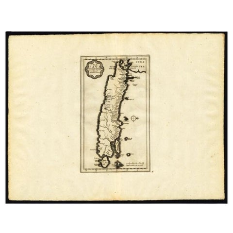
Antique Map of the Island of Java by Van Der Aa, 1725
1725 · 49 × 38 cm$440
Maps and Sea Charts · Celebes
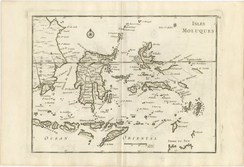
Antique Map of the Moluccas & Celebes, Le Rouge, French Engraving c.1750
1750 · 35.7 × 24.4 cm$440
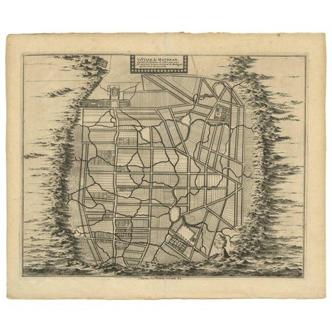
Maps and Sea Charts · Java
Antique Map of the City of Materan 'Indonesia' by P. van der Aa, circa 1725
1725 · 40.2 × 33 cm$440
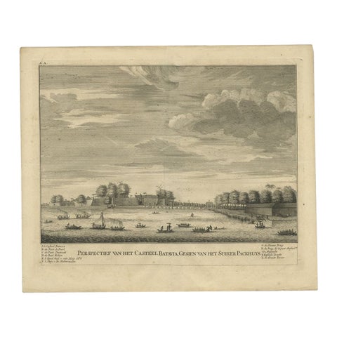
The Company · Java
Antique Print of the Castle of Batavia or Nowadays Jakarta, Indonesia, 1726
1726 · 33 × 39.5 cm$435
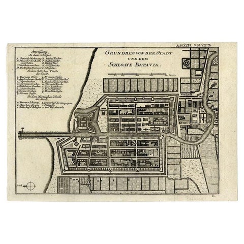
Maps and Sea Charts · Java
Antique Plan of Batavia and the Castle in the Dutch East Indies, 1763
1763 · 33 × 22.9 cm$435
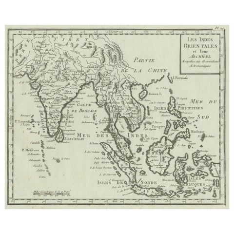
Maps and Sea Charts
Antique Map of India, the East Indies and the Philippines
circa 1760 · 25 × 20.2 cm$425
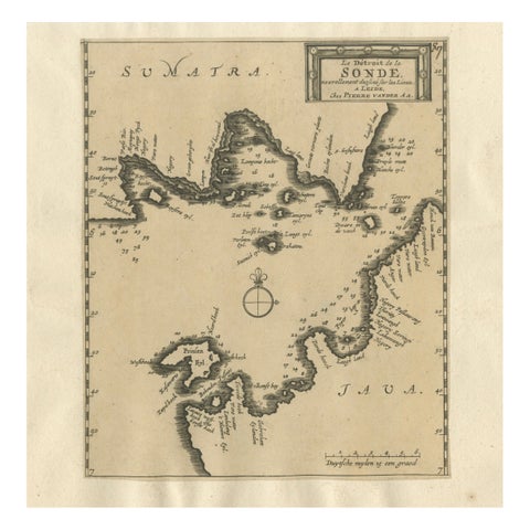
Maps and Sea Charts · Java
Sunda Strait Sea Chart, Sumatra and Java, Dutch Engraving c.1700
1700$425
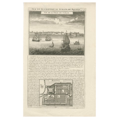
Maps and Sea Charts · Java
Antique View of Surat & Plan of Batavia, VOC India & Indonesia, Chatelain, 1719
1719 · 28 × 44 cm$425
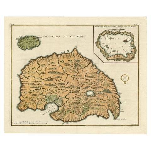
Maps and Sea Charts · Moluccas
Antique Map of Ambelau and Buru Island, Maluku or Moluccas in Indonesia, 1726
1726 · 42.7 × 34.8 cm$415
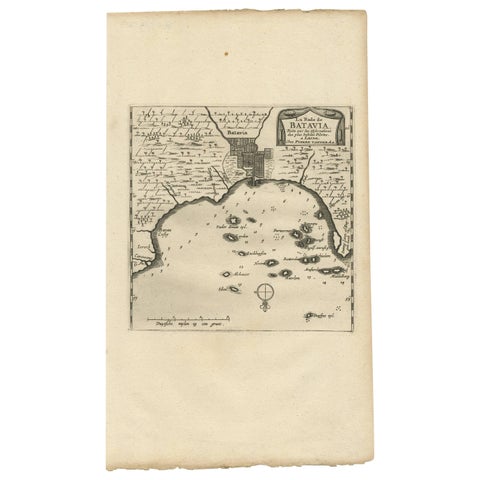
Maps and Sea Charts · Java
Antique Map of Batavia, Jakarta, Indonesia by P. Van Der Aa, 1719
1719 · 19 × 33 cm$410
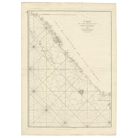
Maps and Sea Charts · Sumatra
Antique Coastal Map of Sumatra by De La Haye, circa 1780
1780 · 55.5 × 76.5 cm$405
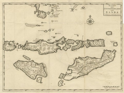
Maps and Sea Charts · Moluccas
Antique Map of the Banda Islands in Indonesia by Valentijn, 1726
1726 · 51.5 × 41.5 cm$405
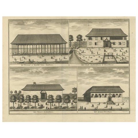
Towns and Landscapes · Moluccas
Antique Print with Four Views of Ambon ii by Valentijn, 1726
1726 · 42.5 × 34 cm$405

Flora and Fauna
Set of Five Antique Engravings of Spices and Colonial Crops by Diderot, 1770
1770 · 25 × 39 cm$405
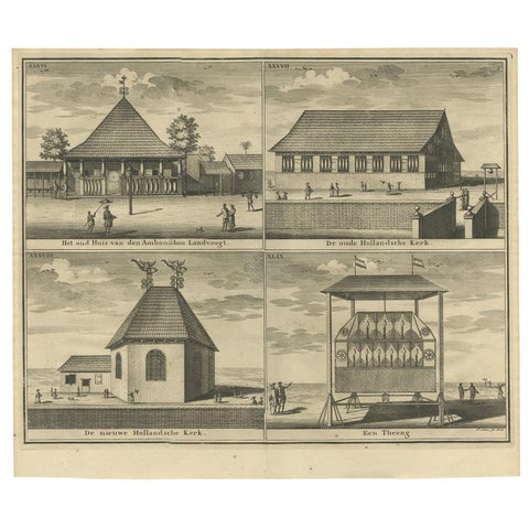
Towns and Landscapes · Moluccas
Antique Print with Four Views of Ambon by Valentijn '1726'
1726 · 39.5 × 34 cm$390
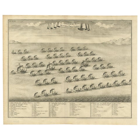
The Company · Moluccas
Antique Print of the Hongi/Coracora Fleet by Valentijn '1726'
1726 · 42 × 34 cm$390
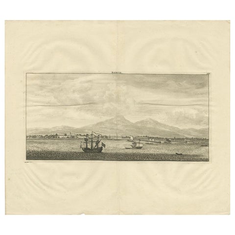
Towns and Landscapes · Java
Antique Print of Batavia by De Bruyn, 1714
1714 · 44 × 38 cm$390
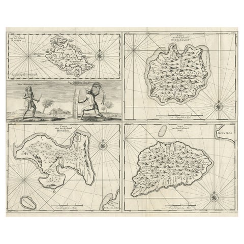
Maps and Sea Charts · Moluccas
Antique Maps of Manipa, Nusa-Laut, Saparua and Haruku in Maluku, Indonesia 1726
1726 · 55 × 65 cm$390
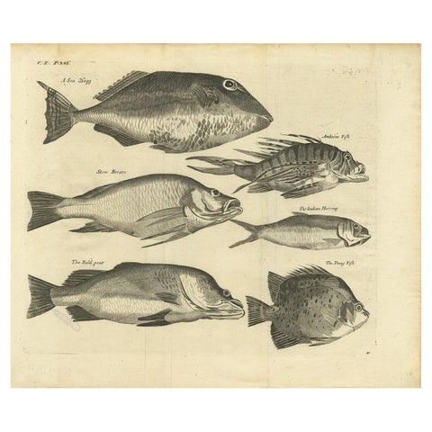
Flora and Fauna · Moluccas
Engraving of a Sea Hogg, Amboina Fish, Stone Bream, Indian Herring Etc, Ca. 1744
1744 · 41.5 × 34.7 cm$390
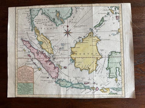
Maps and Sea Charts · Java
Original Map of the East Indies Including Sumatra, Java, Borneo & Malaysia, 1755
1755 · 33 × 24.5 cm$390
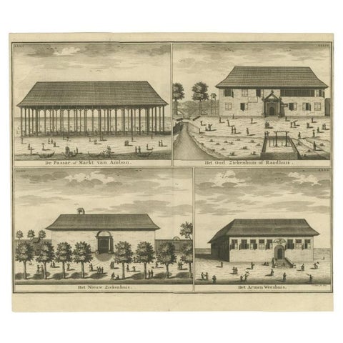
Towns and Landscapes · Moluccas
Antique Print of the Market, Hospital and Orphanage of Ambon by Valentijn, 1726
1726 · 38.5 × 33 cm$390
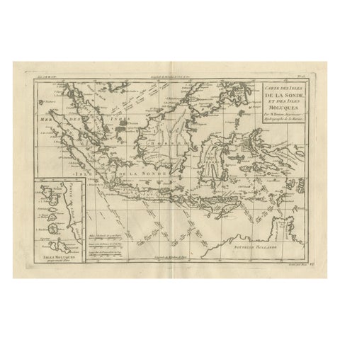
Maps and Sea Charts
Antique East Indies Map by Rigobert Bonne, Copper Engraving, 1780
1780 · 41 × 26 cm$390
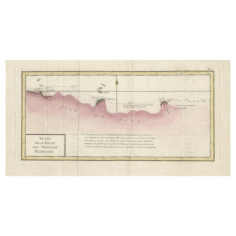
Maps and Sea Charts
Antique Map of the Routes of Jean-françois de Galaup to Asia, 1787
1787 · 45 × 29 cm$380
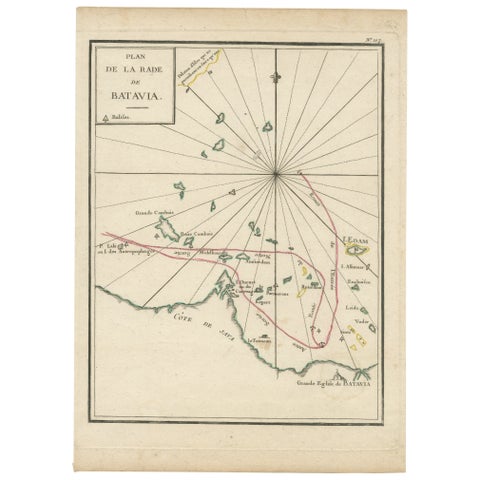
Maps and Sea Charts · Java
Interesting Map of the Thousand Islands in the Bay of Batavia 'Jakarta', ca.1740
1740 · 21 × 29 cm$380
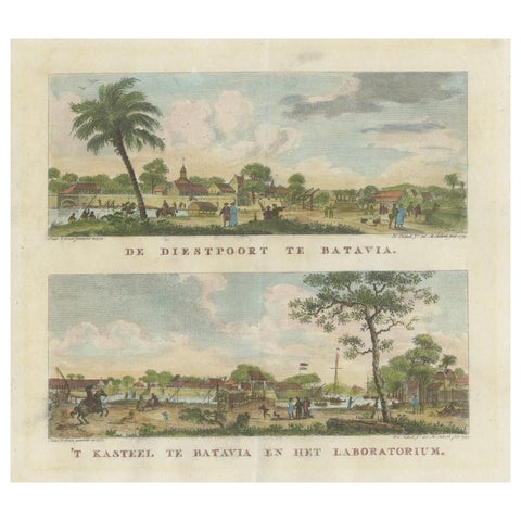
The Company · Java
Dutch Colonial Views of Batavia, Diestpoort and Castle with Laboratory, c.1780
1780 · 29 × 23.7 cm$380
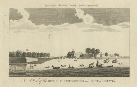
The Company · Java
Antique View of Batavia Port Jakarta, Dutch VOC Fortifications 1778
1778 · 36.5 × 23.5 cm$380
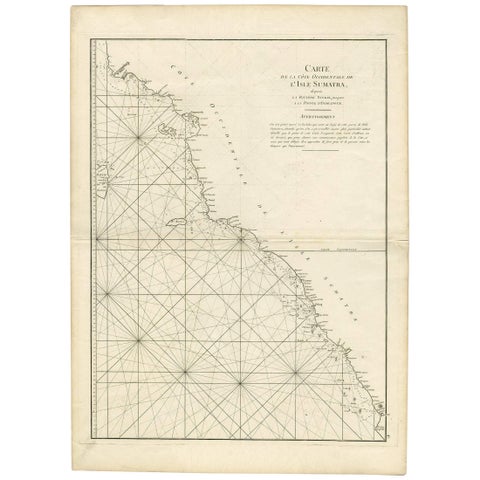
Maps and Sea Charts · Sumatra
1745 Antique Coastal Map of West Sumatra by J. Mannevillette
1745 · 55.5 × 77 cm$370
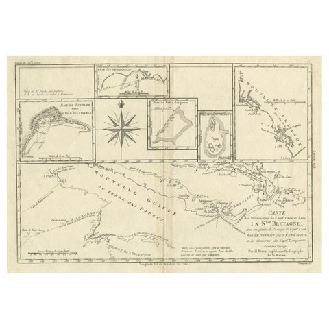
Maps and Sea Charts · New Guinea
Antique Detailed Map of Papua New Guinea and the Regions to the West, ca.1780
1780 · 38.7 × 29.1 cm$370
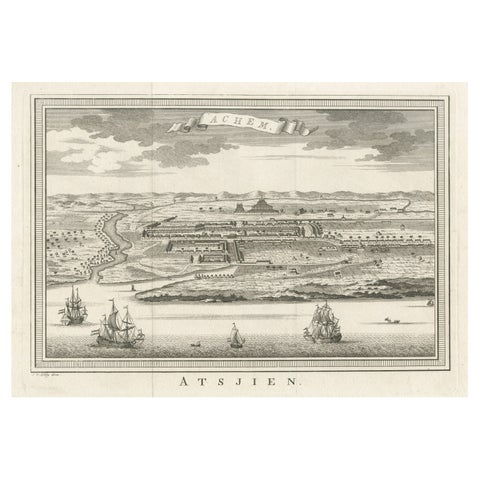
Towns and Landscapes · Sumatra
Decorative Original Antique Panoramic View of Atjeh on Sumatra, Indonesia, 1756
1756 · 38 × 26.3 cm$370
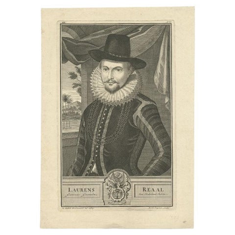
The Company
Old Portrait of Laurens Reael, Governor-General of the Dutch East Indies, 1726
1726 · 24.5 × 35 cm$370
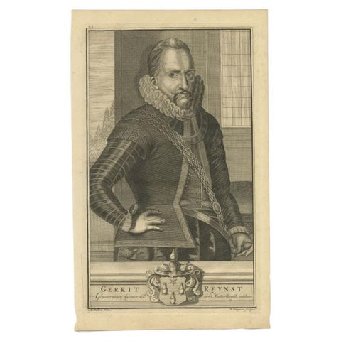
The Company
Old Portrait of Gerrit Reynst Governor-General of the Dutch East Indies, 1726
1726 · 20 × 33 cm$370
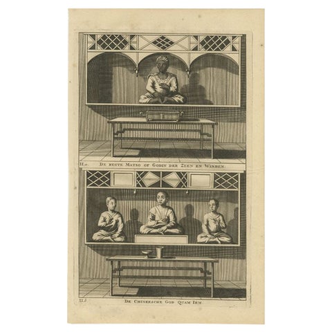
Peoples and Costume
Antique Print of a Chinese Temple and Chinese deity Calamija by Valentijn, 1726
1726 · 20 × 33 cm$370
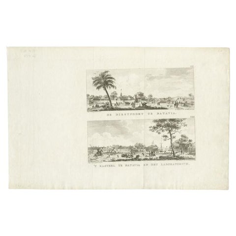
Towns and Landscapes · Java
Antique Print with Two Views of Batavia by Conradi, 1782
1782 · 41 × 26.5 cm$370
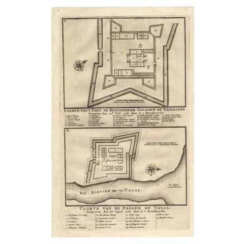
The Company · Java
Antique Print of the Fortress on Cheribon or Cirebon, Java, Indonesia, 1726
1726 · 20.1 × 32.8 cm$370
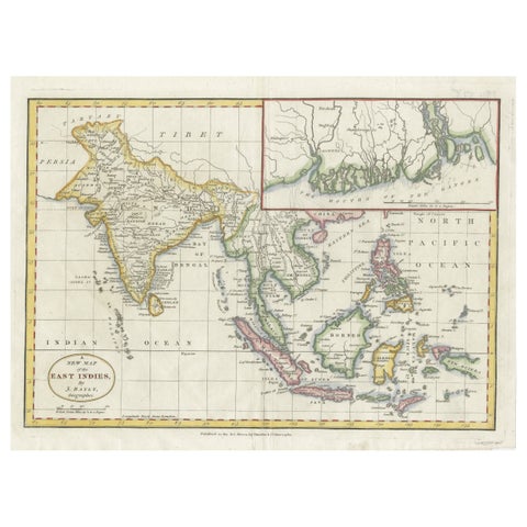
Maps and Sea Charts · Java
1782 Map of the East Indies, India, Siam, Philippines, Java, Borneo, Ganges
1782 · 34.5 × 26 cm$370
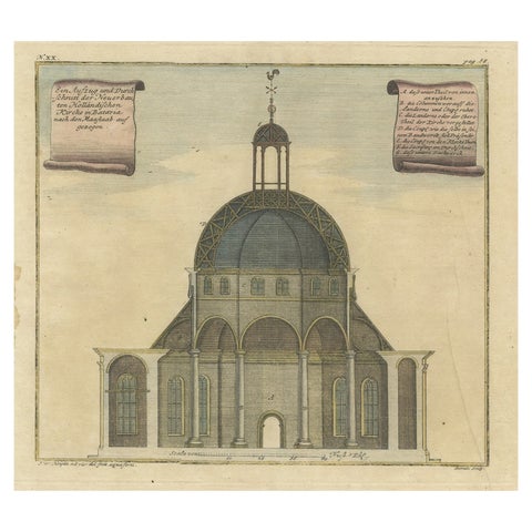
Towns and Landscapes · Java
Old Antque Pirint of the New Dutch Church of Batavia 'Jakarta, Indonesia', 1744
1744 · 37 × 32 cm$360
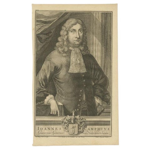
The Company
Antique Portrait of J. Camphuys, Governor-General of the Dutch East Indies, 1726
1726 · 20 × 33 cm$360
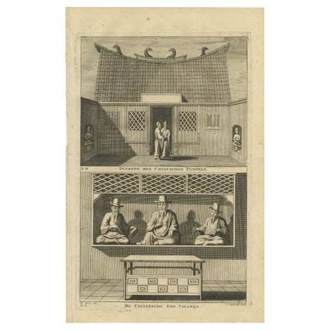
Peoples and Costume
Antique Print of a Chinese Temple and Chinese deity Calamija by Valentijn, 1726
1726 · 21 × 33 cm$360
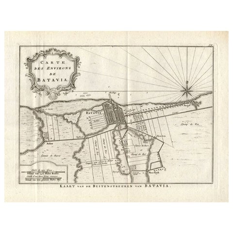
Maps and Sea Charts · Java
Antique Map of the Region of Batavia by Conrade, 1782
1782 · 44 × 27.5 cm$355
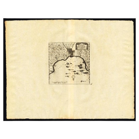
Maps and Sea Charts · Java
Antique Map of the Roadstead of Batavia by Van der Aa, 1725
1725 · 49 × 38 cm$345
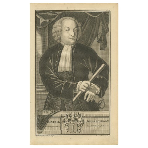
The Company
Portrait of Hendrick Zwaardecroon Governor-General of the Dutch East Indies 1726
1726 · 21 × 33 cm$335
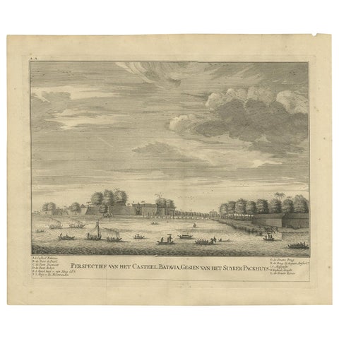
The Company · Java
Antique Print of the Castle of Batavia, Capital of the Dutch East Indies, 1726
1726 · 41 × 33 cm$335
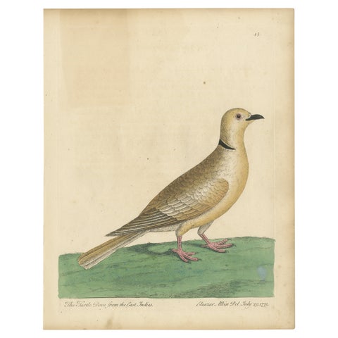
Flora and Fauna
Antique Bird Print of a Turtle Dove from the East Indies
1740 · 22.4 × 28.7 cm$335
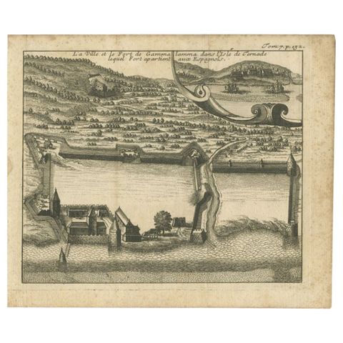
The Company · Moluccas
Antique Print of the Town and Fortress of Ternate by Renneville, 1725
1725 · 19 × 16 cm$325
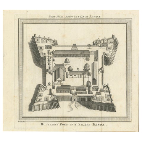
The Company · Moluccas
VOC Fort Nassau at Banda of The Spice Islands, Bird’s-eye View Engraving, c.1740
1740 · 24.5 × 22 cm$325
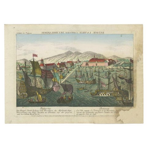
Towns and Landscapes · Java
Antique Print of the Harbour of Batavia by Probst, c.1760
1760 · 47 × 34 cm$325